The best walks and hikes in Haffensche Landwehr
4.5
(5261)
22,917
hikers
499
hikes
Hiking in Haffensche Landwehr offers routes through a landscape characterized by forests, lakes, and open meadows. The region, part of Kreis Kleve, features flat terrain with minimal elevation changes, making it accessible for various activity levels. Key natural features include the Halderner Forest, Reeser Lake, and the Düffel area, providing diverse environments for outdoor exploration.
Best hiking trails in Haffensche Landwehr
- The most popular hiking route is Halderner Forest and Reeser Lake loop from Sonsfeldsche Bruch, Hagener Meer und Duene…
Last updated: May 12, 2026
4
hikers
Easy hike. Great for any fitness level. Easily-accessible paths. Suitable for all skill levels.
6
hikers
Easy hike. Great for any fitness level. Easily-accessible paths. Suitable for all skill levels.

Sign up for free
4.4
(36)
159
hikers
Moderate hike. Good fitness required. Easily-accessible paths. Suitable for all skill levels.
4.3
(22)
84
hikers
Easy hike. Great for any fitness level. Easily-accessible paths. Suitable for all skill levels.
4.9
(12)
64
hikers
Moderate hike. Good fitness required. Easily-accessible paths. Suitable for all skill levels.
Get access to more routes and recommendations from other explorers.
Sign up for free
Already have an account?
Our route recommendations are based on thousands of hikes, rides, and runs completed by other people on komoot.
Start today with a free account
Your next adventure awaits.
Login or Signup
Tips from the Community

Some stars were to be found on the route
0
0

A polder is a diked, low-lying piece of land that is either used for land reclamation through drainage or, as in this case, serves as a flood protection retention area by being flooded when necessary to absorb water masses and protect the areas below. Description: Diked areas along rivers (here: the Rhine) that serve as retention basins. Purpose: During extreme floods, these areas are deliberately flooded to absorb water masses, reduce pressure on dikes downstream, and thus prevent flooding in low-lying areas (e.g., Rees). Function: Water is channeled into the polder in a controlled manner via locks or special overflow channels. Polders are separated from the water and the surrounding landscape by dikes. The principle is to create controllable bodies of water, either to reclaim land or, as in this case, to protect against the destructive power of flooding. (Source: Overview with AI)
2
0
The Bislich-Landesgrenze Dike Association, as a water and soil association, is planning the construction of the dike relocation and the Lohrwardt summer polder. This project will create an additional retention area of approximately 15 million square meters within a retention area of approximately 270 hectares. As part of the "ecological planning" for polder operation, the inlet structure is part of the continuous system spanning the Rhine, Lake Roosenhof, Lake Lohrwardt (= Grindsee), Reeser Altrhein, and the connection downstream to the Rhine. The entire system of inlet structure-culvert-outlet structure also serves to ensure fish passage in and out of the summer polder, including a fish trapping and monitoring station and a fully automated process control system for the water level and flow systems. Appropriate closure devices (dike gate, channel gate, and stop log closure) are planned for the "retention polder" operation scenario. When planning the inlet structure for the purpose of ecological flooding, the geometric, static, and visual aspects and dimensions, as well as the type of system and control technology, were adapted to the conditions already established in the pumping station, particularly for reasons of maintenance and operational safety. (Source: Bislich-Landesgrenze Dike Association)
2
0
Pumping stations are directly and indirectly required for the Bislich-Landgrenze Dike Association's area and the affected catchment areas (see also waterway maintenance) to ensure proper outflow in the landwehrs. The natural outflow at the pumping stations depends on the respective Rhine water level. This means that the Rhine water level must be below the outflowing water in the ditches and landwehrs. If this is not the case and the Rhine level is higher, the natural outflow is disrupted and not possible. To prevent Rhine water from entering the association's area, the floodgates are closed. Once the outflow is disrupted and natural outflow can no longer occur, for example, because the Rhine water level is higher than that of the landwehrs, water must be artificially pumped (drawn) from the hinterland into the Rhine using pumps. The relocation of the dikes results in changes in the sluice and groundwater conditions. In addition, the rerouting of some of the association's waterways and the reactivation of old water structures will be necessary, which will also impact existing water management conditions, necessitating the construction of the "Polder Lohrwardt" (PL) pumping station as part of the Lohrwardt dike relocation project. (Source: Bislich-Landesgrenze Dike Association)
2
0

Interesting observation opportunities for gravel extraction
0
0

let your gaze wander
0
1
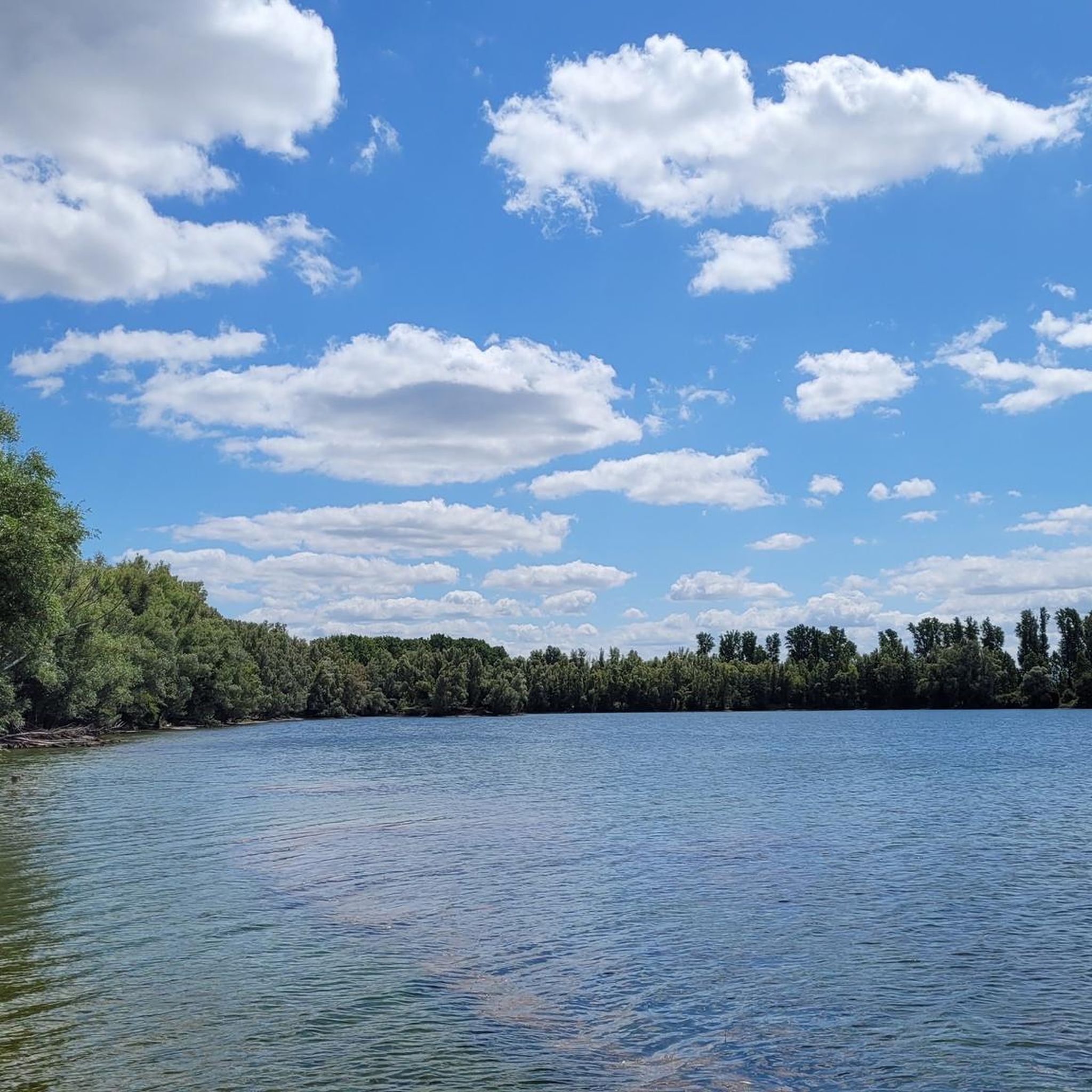
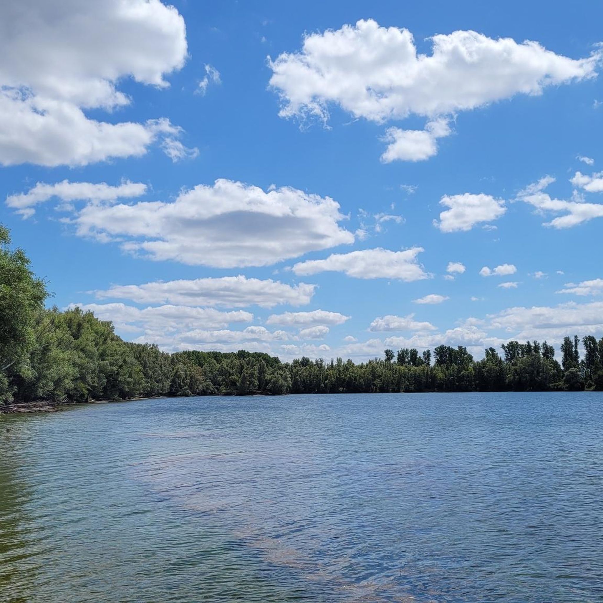
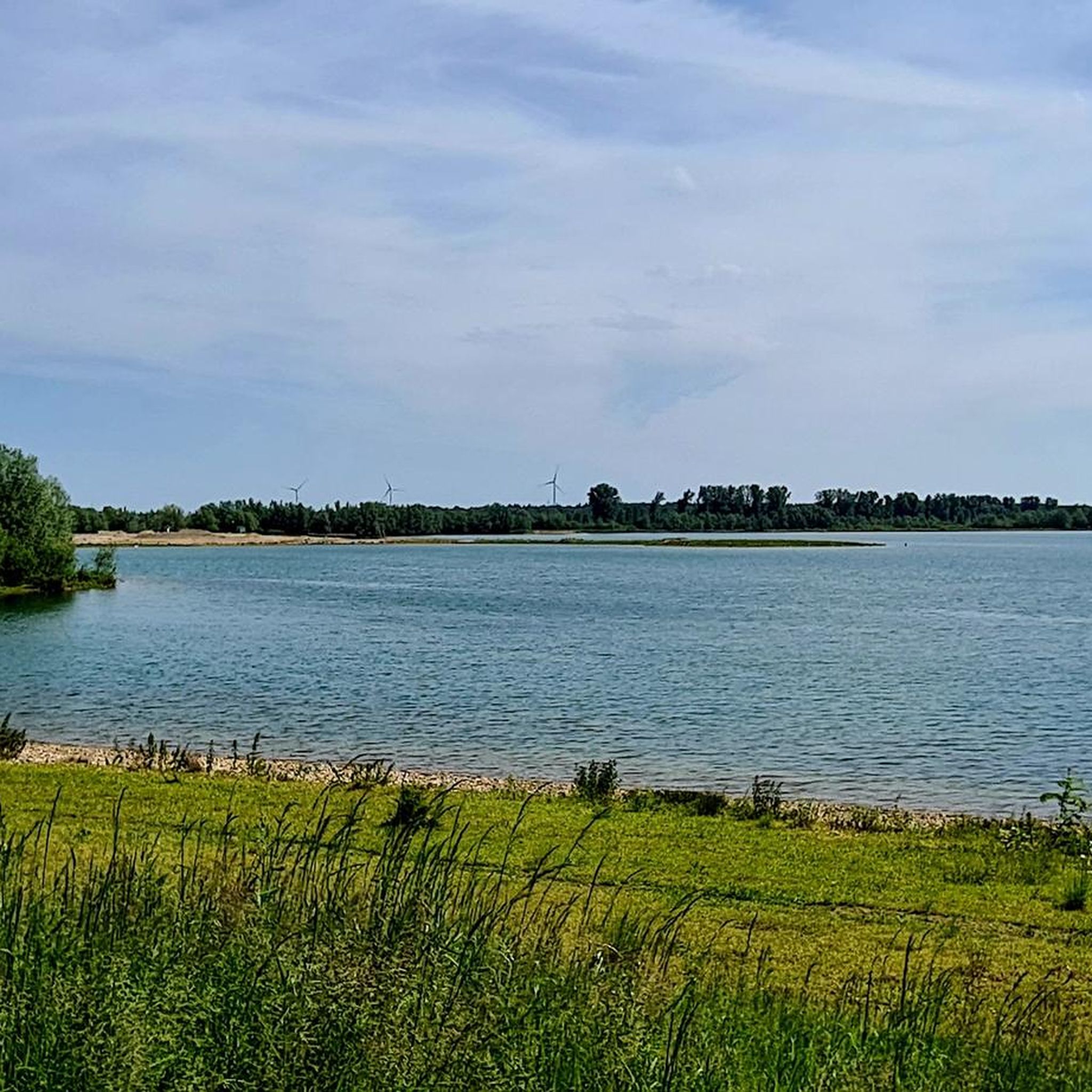
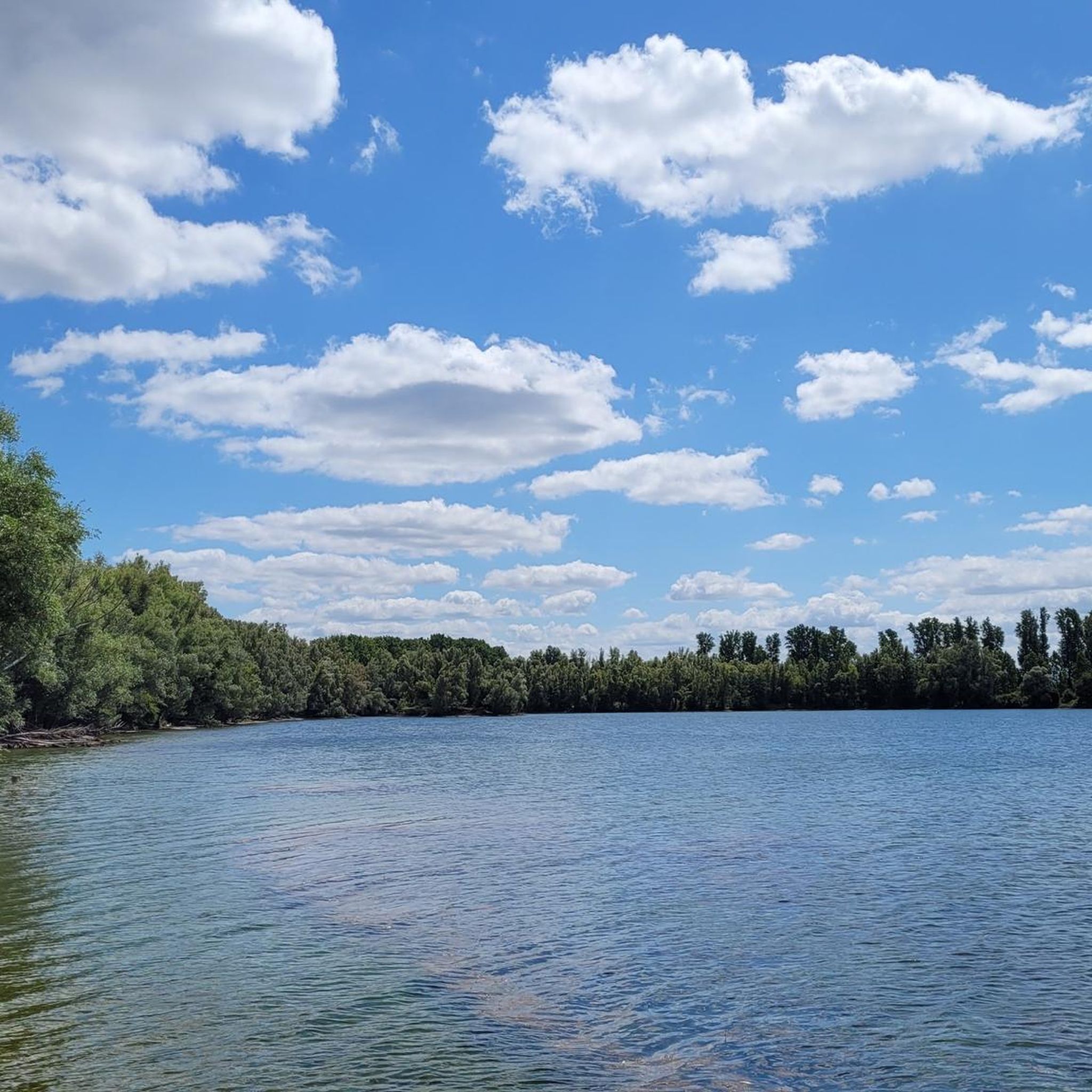
A beautiful view over the Reeser Meer
1
0
Frequently Asked Questions
How many hiking trails are available in Haffensche Landwehr?
Haffensche Landwehr offers a wide selection of hiking routes, with over 470 trails recorded on komoot. This includes more than 320 easy routes, 130 moderate options, and a few more challenging paths, ensuring there's something for every ability level.
What is the general difficulty level of hikes in Haffensche Landwehr?
The terrain in Haffensche Landwehr is predominantly flat with minimal elevation changes, making most hikes accessible. The majority of routes are classified as easy, with a good number of moderate trails for those seeking a bit more distance. Only a small percentage are considered difficult.
Are there any family-friendly hiking options in Haffensche Landwehr?
Yes, the flat and accessible nature of Haffensche Landwehr makes it ideal for families. Many easy routes are suitable for children. For example, the Halderner Forest and Reeser Lake loop is a short, pleasant walk through forest paths and along the lakeside, perfect for a family outing.
Can I find circular walks in Haffensche Landwehr?
Absolutely. Many of the trails in Haffensche Landwehr are designed as circular routes, allowing you to start and end at the same point. An excellent example is the Viewpoint at Reeser Meer – Planet Trail Station Neptune loop from Haffen, which offers scenic views and a unique educational element.
What kind of terrain can I expect on the trails in Haffensche Landwehr?
Hikers in Haffensche Landwehr can expect a diverse landscape characterized by tranquil forests, expansive open meadows, and picturesque lakeside paths. The region is part of Kreis Kleve and features generally flat terrain, providing a relaxed hiking experience.
Are there any viewpoints or interesting natural features to see?
Yes, Haffensche Landwehr offers several natural highlights. You can visit the Viewing Platform at Reeser Meer for expansive water views, or explore the Haffensche Landwehr – Sonsfeldsche Weiden, known for its natural beauty. The region also features the Halderner Forest and the Düffel area with its Wild Goose Meadow.
What do other hikers say about the trails in Haffensche Landwehr?
The trails in Haffensche Landwehr are highly regarded by the komoot community, boasting an average rating of 4.5 stars from over 4,200 reviews. Hikers frequently praise the peaceful atmosphere, the well-maintained paths, and the beautiful blend of forest and lakeside scenery.
What is the best time of year to hike in Haffensche Landwehr?
Haffensche Landwehr is enjoyable year-round. Spring brings blooming flora and migratory birds, while summer offers lush greenery. Autumn provides beautiful foliage, and even winter can be pleasant for crisp walks, especially around the frozen lakes and quiet forests. The flat terrain makes it accessible in most conditions.
Are there options for longer, more challenging hikes?
While many routes are easy, Haffensche Landwehr does offer longer, moderate options for those seeking more distance. For instance, the Viewpoint at Reeser Meer – Wild Goose Meadow in the Düffel loop is an 8.1-mile (13.1 km) trail that provides a more extended exploration of the region's diverse landscapes.
Where can I park when visiting the Haffensche Landwehr trails?
Parking is generally available at various trailheads and access points throughout the Haffensche Landwehr region. Many routes, such as those starting from Sonsfeldsche Bruch, Hagener Meer und Duene, offer convenient parking facilities nearby. It's advisable to check the specific tour details on komoot for parking information related to your chosen route.
What kind of wildlife or flora might I encounter?
Given the diverse habitats of forests, meadows, and wetlands around Reeser Lake and the Düffel area, you might spot various bird species, including migratory birds, especially in the Wild Goose Meadow. The forests are home to typical woodland flora, and the open landscapes offer a chance to see local wildlife in their natural environment.
Are dogs allowed on the hiking trails in Haffensche Landwehr?
Most trails in Haffensche Landwehr are dog-friendly, making it a great destination for walks with your canine companion. However, it's always recommended to keep dogs on a leash, especially in nature reserve areas or near livestock, and to respect local signage regarding pet regulations.
Most popular routes in Haffensche Landwehr
Most popular attractions in Haffensche Landwehr

Get inspired with the komoot mobile app


Explore more
Browse the best Hikes in other regions.
