Droste Woy, Rheinaue Zwischen Wesel Und Bislich
Droste Woy, Rheinaue Zwischen Wesel Und Bislich
The best road cycling routes in Droste Woy, Rheinaue Zwischen Wesel Und Bislich
4.6
(563)
7,930
riders
444
rides
Road cycling in Droste Woy, Rheinaue Zwischen Wesel Und Bislich is characterized by the flat terrain of the Lower Rhine floodplain, featuring expansive meadows and scattered bodies of water. The region offers well-maintained dike paths along the Rhine, providing smooth surfaces and scenic views. Key natural features include the Droste Woy Kolk, a long pond within a nature reserve, and views of Lake Auesee. This topography creates suitable conditions for road cycling.
Best road cycling routes in Droste Woy, Rheinaue…
Last updated: July 4, 2026
13
riders
Moderate road ride. Great for any fitness level. Some segments of this route may be unpaved and difficult to ride.
10
riders
Easy road ride. Great for any fitness level. Mostly well-paved surfaces and easy to ride.

Sign up for free
4.7
(21)
202
riders
Easy road ride. Great for any fitness level. Mostly well-paved surfaces and easy to ride.
4.3
(3)
39
riders
48.3km
01:55
60m
60m
Moderate road ride. Great for any fitness level. Some segments of this route may be unpaved and difficult to ride.
5.0
(3)
40
riders
Moderate road ride. Great for any fitness level. Some segments of this route may be unpaved and difficult to ride.
Get access to more routes and recommendations from other explorers.
Sign up for free
Already have an account?
Our route recommendations are based on thousands of hikes, rides, and runs completed by other people on komoot.
Start today with a free account
Your next adventure awaits.
Login or Signup
Popular around Droste Woy, Rheinaue Zwischen Wesel Und Bislich
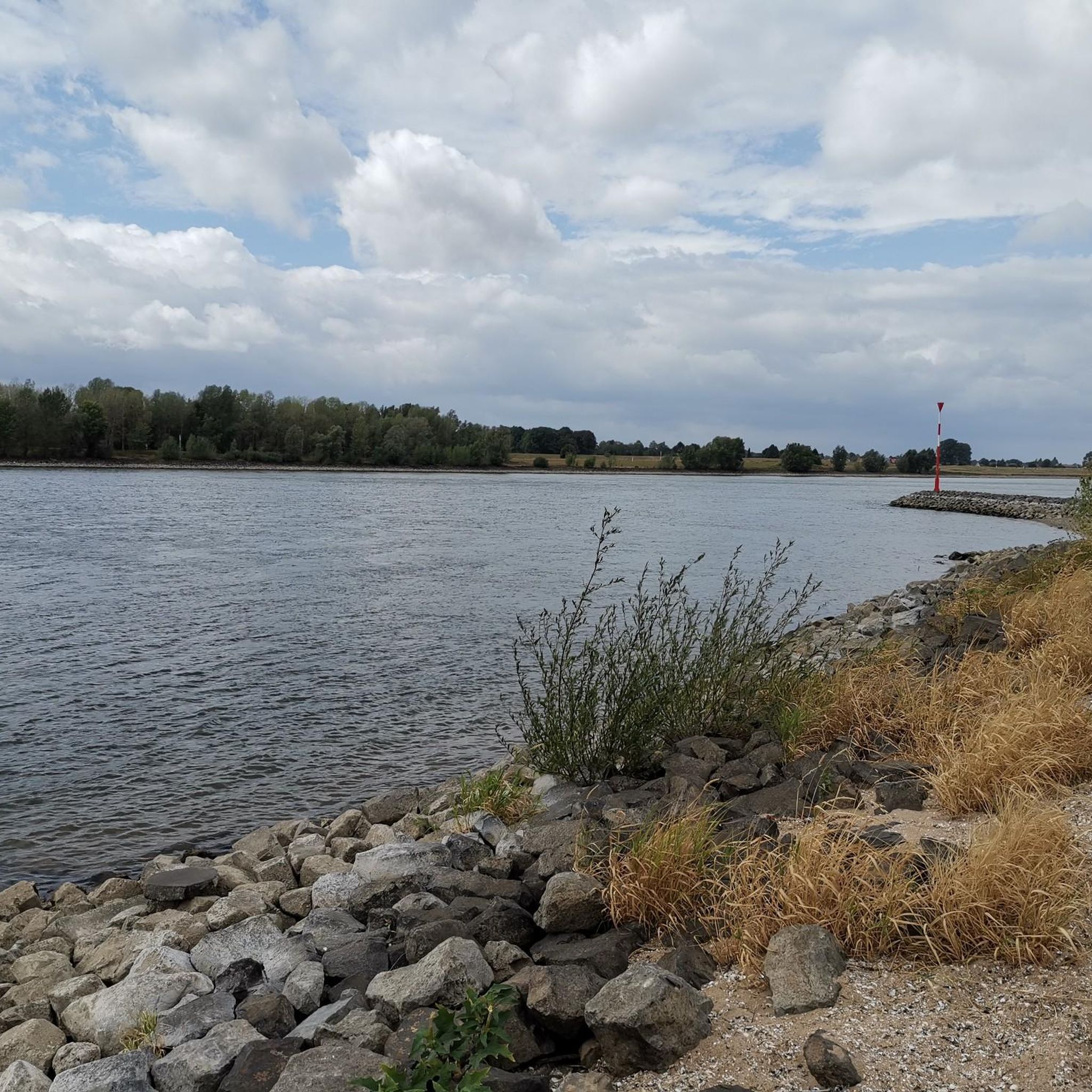
Running Trails in Droste Woy, Rheinaue Zwischen Wesel Und Bislich
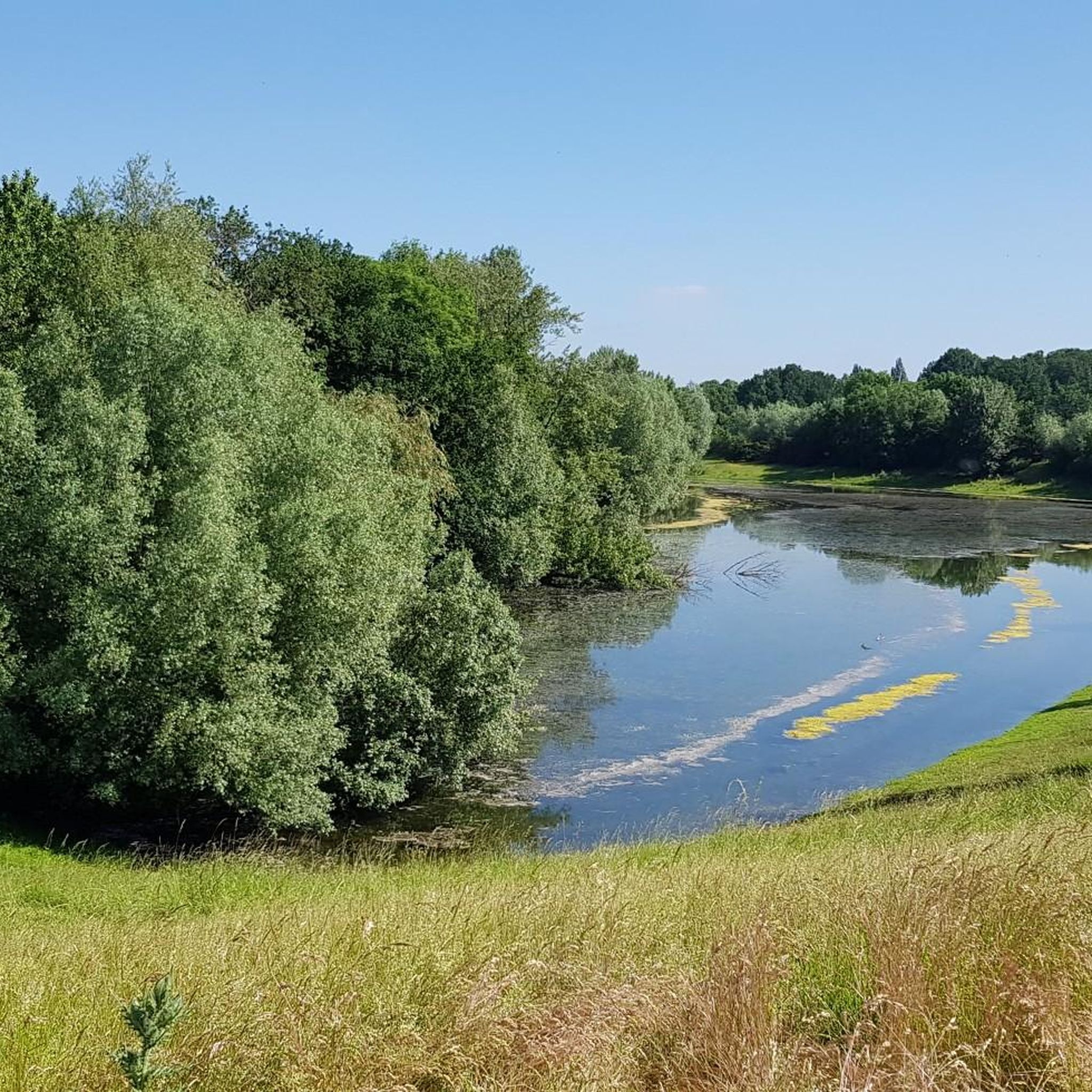
Cycling in Droste Woy, Rheinaue Zwischen Wesel Und Bislich
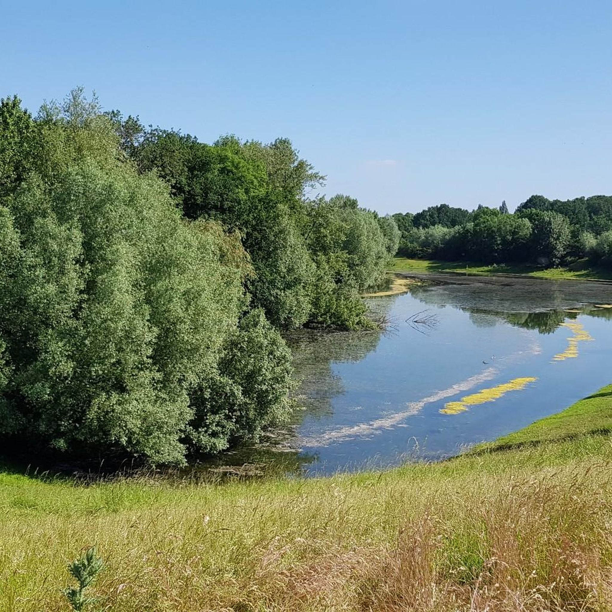
MTB Trails in Droste Woy, Rheinaue Zwischen Wesel Und Bislich
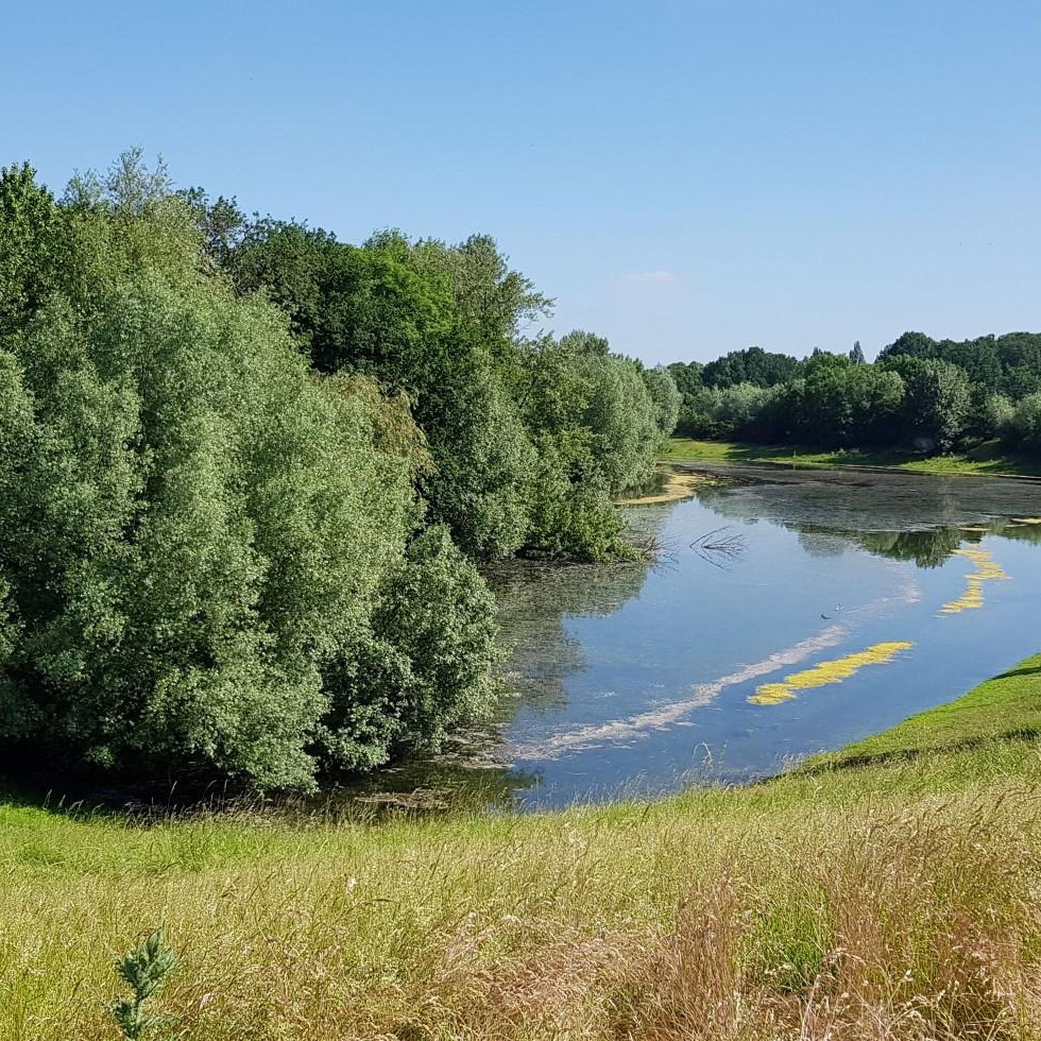
Hiking in Droste Woy, Rheinaue Zwischen Wesel Und Bislich

Gravel biking in Droste Woy, Rheinaue Zwischen Wesel Und Bislich
Tips from the Community

Former railway line to Kleve. Only cyclists, e-scooters and pedestrians allowed, away from the federal highway B57. Old relics of the railway everywhere.
2
0
Rental boats, food, e-bike charging stations, boat trip etc.
0
0

The two towers with the glass walkway symbolically represent the former city gate in the south of the old city wall.
5
0

Very nice, but can get very crowded!
1
0
Better to drive down, asphalt mediocre
0
0

Unfortunately, the cycle path along the Xanten North Sea is no longer in good condition. Potholes and the hard surface are in need of repair.
0
0

Rough asphalt, a bit uneven, but only 1 km long. Shouldn't be a problem.
1
0
Frequently Asked Questions
How many road cycling routes are available in Droste Woy, Rheinaue Zwischen Wesel Und Bislich?
The region offers a wide selection of road cycling routes, with over 430 tours available on komoot. These routes cater to various skill levels, including easy, moderate, and challenging options.
What is the terrain like for road cycling in this region?
The terrain in Droste Woy, Rheinaue Zwischen Wesel Und Bislich is predominantly flat, characteristic of the Lower Rhine floodplain. You'll find well-maintained dike paths along the Rhine, paved farm tracks, and quiet forest paths, making it ideal for road cycling. The flat landscape ensures accessibility for various fitness levels.
Are there any easy road cycling routes suitable for beginners or families?
Yes, there are many easy routes. For instance, the Cycle Path Am Deich – Bislich Ferry Terminal loop from Droste Woy, Rheinaue zwischen Wesel und Bislich is an easy 7.8-mile (12.5 km) route that follows a scenic dike path. Another accessible option is the Auesee in Wesel – Auesee loop from Weseler Aue und Leygraben bei Flüren, which is just under 6 miles (9.5 km) and circles the Auesee.
What natural features can I expect to see along the road cycling routes?
The region is rich in natural beauty, defined by the Rhine floodplains. You'll encounter expansive Rhine meadows, forests, and the unique 'Woy' or 'Kolk' ponds within the Naturschutzgebiet Droste Woy. The area is also known as a 'bird paradise,' offering diverse wildlife viewing opportunities, including kingfishers and storks. You'll also enjoy continuous views of the Rhine river and the scenic Auesee.
Are there any specific landmarks or attractions along the routes?
Absolutely! You can enjoy scenic Views of the Rhine near Bislich. The Keer Tröch II Ferry (Bislich–Xanten) offers a unique Rhine crossing, allowing you to extend your cycling adventures. Keep an eye out for stork nests, such as those mentioned On the stork route.
What do other road cyclists enjoy most about this region?
The area is highly rated by the komoot community, with an average score of 4.5 stars from over 540 reviews. Cyclists often praise the flat, well-maintained dike paths, the stunning river views, and the peaceful natural environment, especially within the nature reserve.
Is it possible to find circular road cycling routes?
Yes, many routes in the region are designed as loops, allowing you to start and end at the same point. Examples include the Bislicher Insel Nature Reserve – View of the River Lippe loop from Xanten and the Auesee in Wesel – View of the River Lippe loop from Droste Woy, Rheinaue zwischen Wesel und Bislich.
Where can I park my car when visiting the cycling routes?
While specific parking locations vary by route, the region generally offers parking options near popular trailheads and access points to the dike paths. Look for designated parking areas in towns like Wesel and Bislich, or near attractions like the Auesee, which often have facilities for visitors.
Are there cafes or places to eat along the road cycling routes?
Yes, you'll find various cafes and pubs in the towns and villages adjacent to the cycling routes, such as Wesel and Bislich. These establishments often cater to cyclists, providing opportunities for refreshments and meals during your ride.
What is the best time of year to go road cycling in Droste Woy, Rheinaue Zwischen Wesel Und Bislich?
The region is enjoyable for road cycling throughout the warmer months, typically from spring to autumn. Spring offers blooming landscapes, while summer provides longer daylight hours. Autumn brings beautiful foliage. Always check local weather conditions before heading out, as the Rhine floodplains can be exposed to wind.
Can I reach the cycling routes using public transport?
Public transport options are available to reach the general area, primarily through train connections to Wesel. From Wesel, you can often connect to local bus services that serve the surrounding villages and areas closer to the Rhine and the nature reserve. It's advisable to check specific bus routes and schedules for the most convenient access points.
Most popular routes in Droste Woy, Rheinaue Zwischen Wesel Und Bislich
Most popular attractions in Droste Woy, Rheinaue Zwischen Wesel Und Bislich

Get inspired with the komoot mobile app


Explore more
Browse the best Road cycling routes in other regions.
