Üfter-, Rüster- Und Emmelkämper Mark
Üfter-, Rüster- Und Emmelkämper Mark
The best running trails in Üfter-, Rüster- Und Emmelkämper Mark
4.9
(11)
128
runners
26
runs
Jogging in Üfter-, Rüster- Und Emmelkämper Mark offers routes through a diverse natural reserve spanning over 1,000 hectares. The region is characterized by extensive forests, open heathlands, and small moor areas, providing varied terrain for runners. Sandy sections and dunes, remnants of ice-age glaciers, also contribute to the unique landscape. This tranquil environment is ideal for those seeking an immersive nature experience during their runs.
Best jogging routes in Üfter-, Rüster- Und Emmelkämper Mark
- The most popular jogging route is…
Last updated: July 9, 2026
9
runners
Hard run. Very good fitness required. Mostly paved surfaces. Suitable for all skill levels.
7
runners
5.83km
00:37
20m
20m
Moderate run. Good fitness required. Mostly paved surfaces. Suitable for all skill levels.

Sign up for free
5.0
(2)
7
runners
Easy run. Great for any fitness level. Mostly paved surfaces. Suitable for all skill levels.
6
runners
6.55km
00:42
20m
20m
Moderate run. Good fitness required. Mostly paved surfaces. Suitable for all skill levels.
5
runners
Hard run. Very good fitness required. Mostly paved surfaces. Suitable for all skill levels.
Get access to more routes and recommendations from other explorers.
Sign up for free
Already have an account?
Our route recommendations are based on thousands of hikes, rides, and runs completed by other people on komoot.
Start today with a free account
Your next adventure awaits.
Login or Signup
Popular around Üfter-, Rüster- Und Emmelkämper Mark
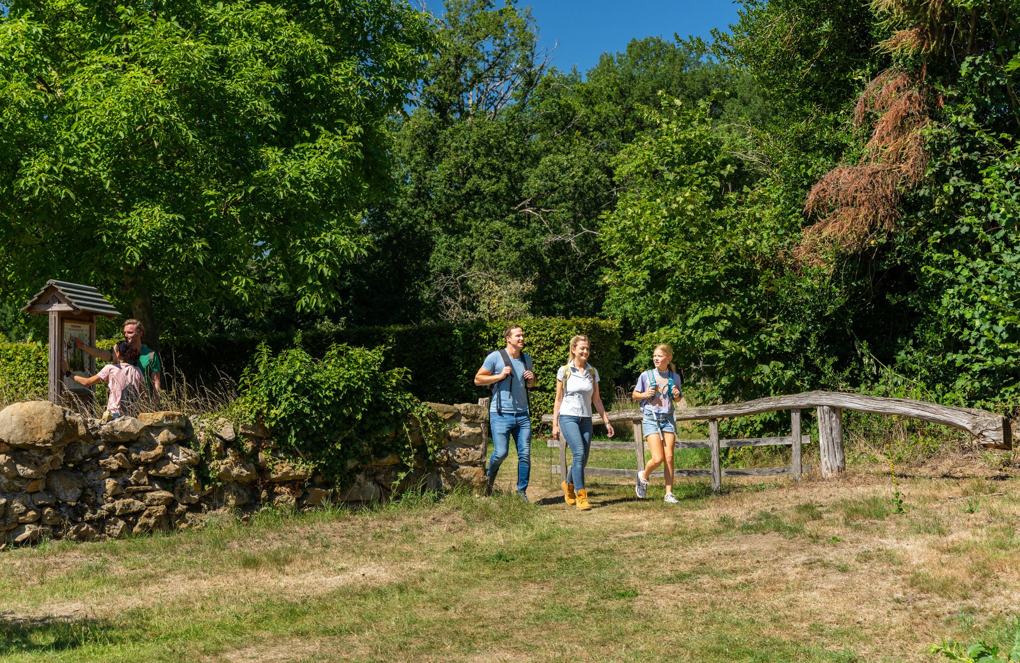
LandStreifer – circular hiking trails to Germany’s Hohe Mark Steig
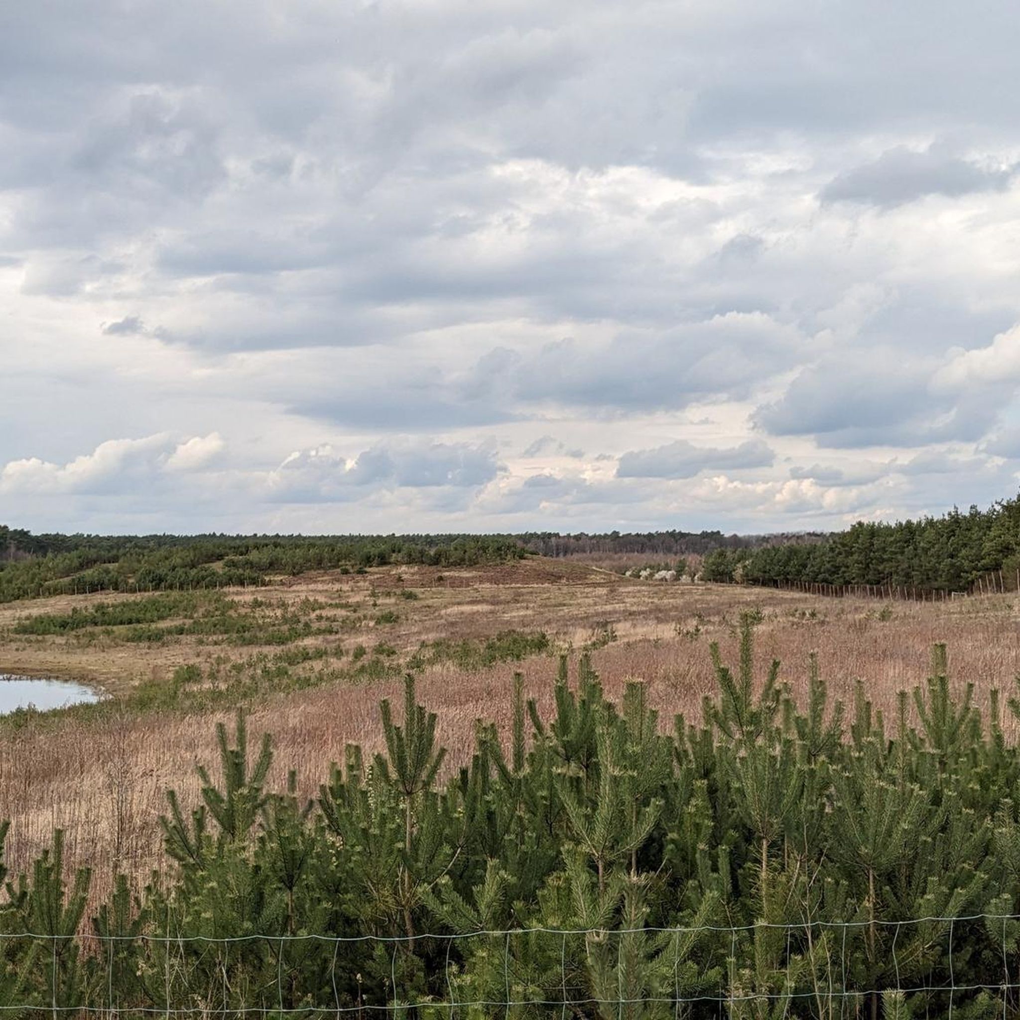
Hiking in Üfter-, Rüster- Und Emmelkämper Mark
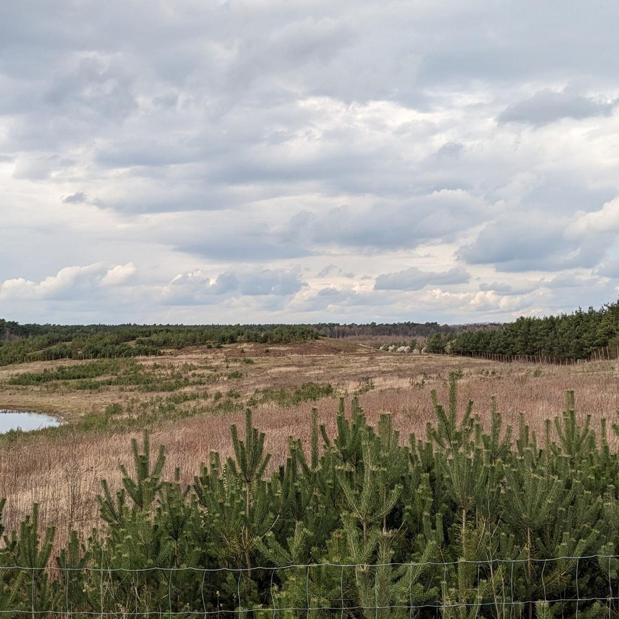
MTB Trails in Üfter-, Rüster- Und Emmelkämper Mark
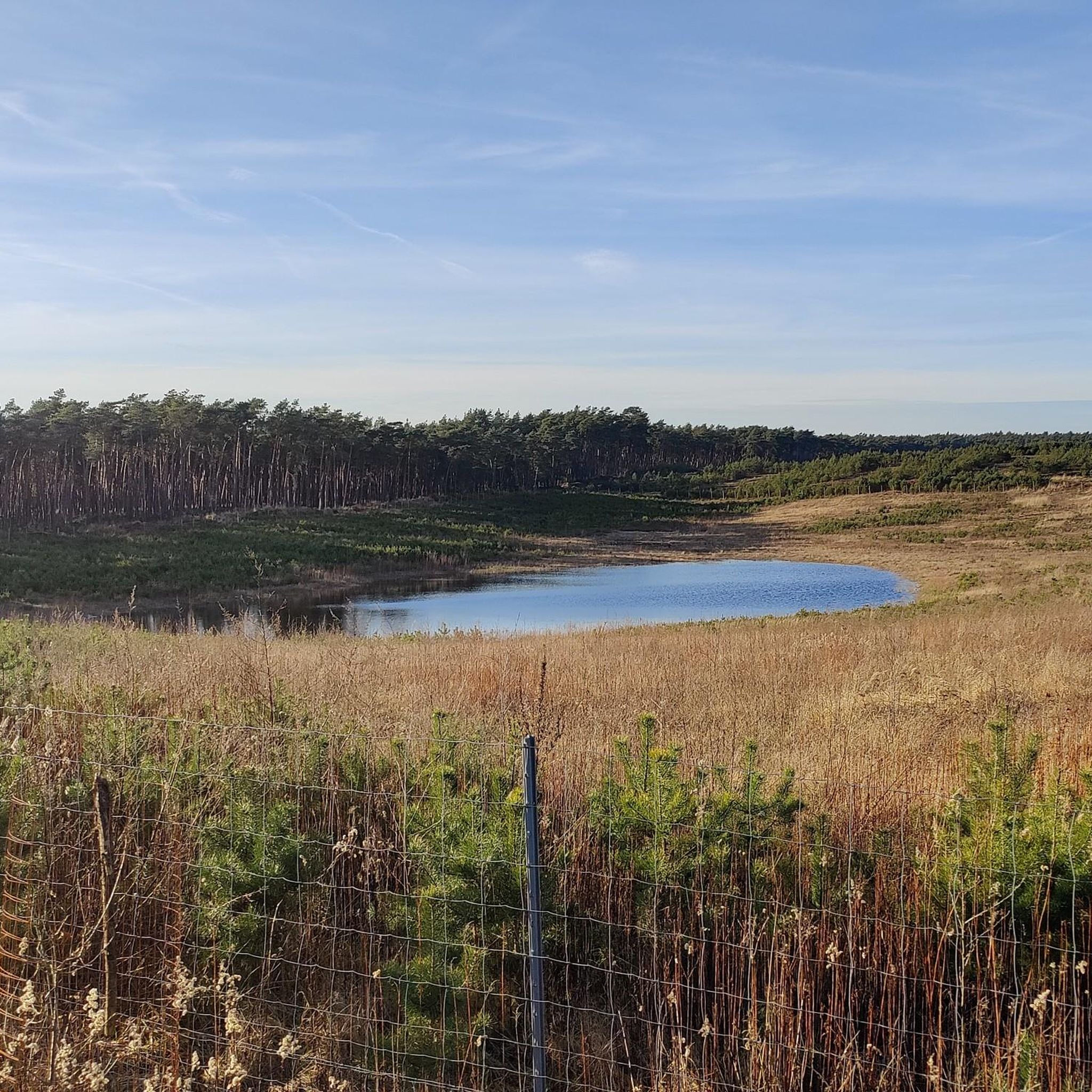
Road Cycling Routes in Üfter-, Rüster- Und Emmelkämper Mark
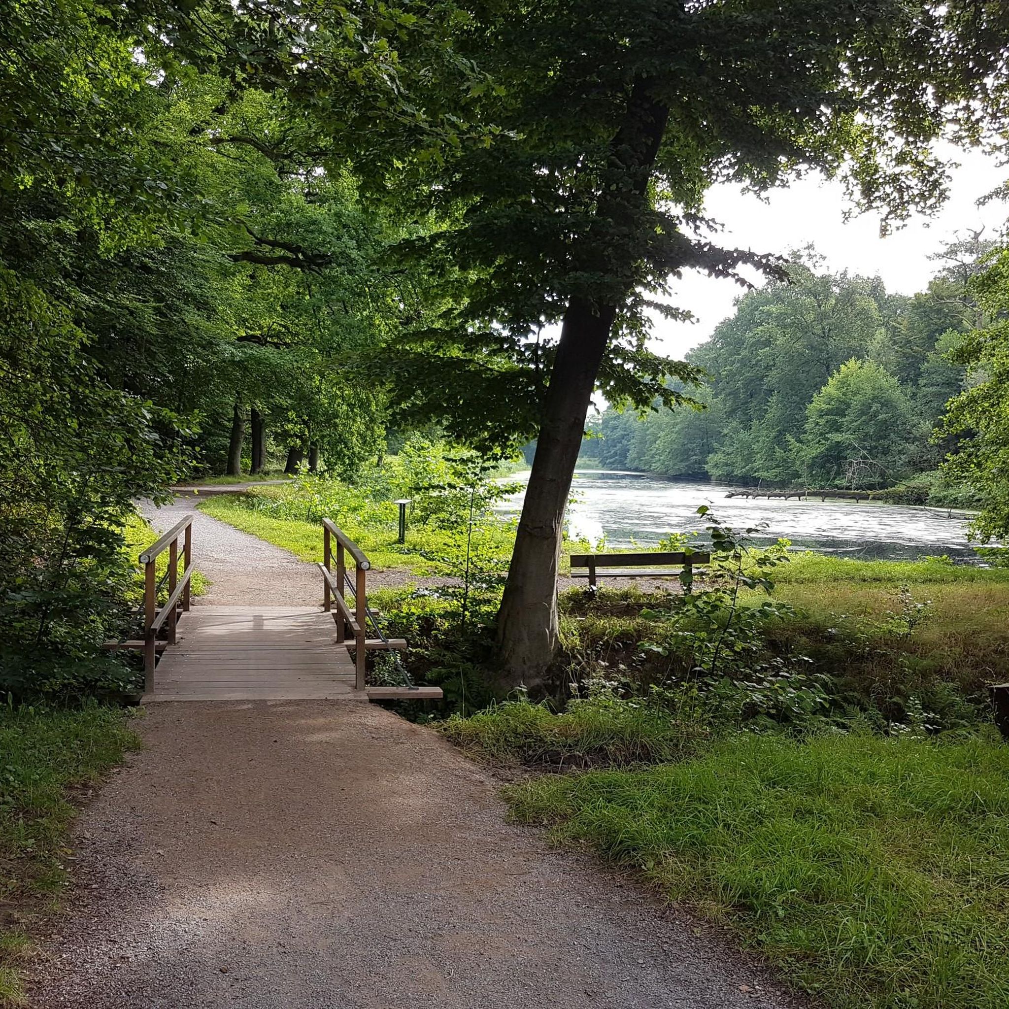
Gravel biking in Üfter-, Rüster- Und Emmelkämper Mark
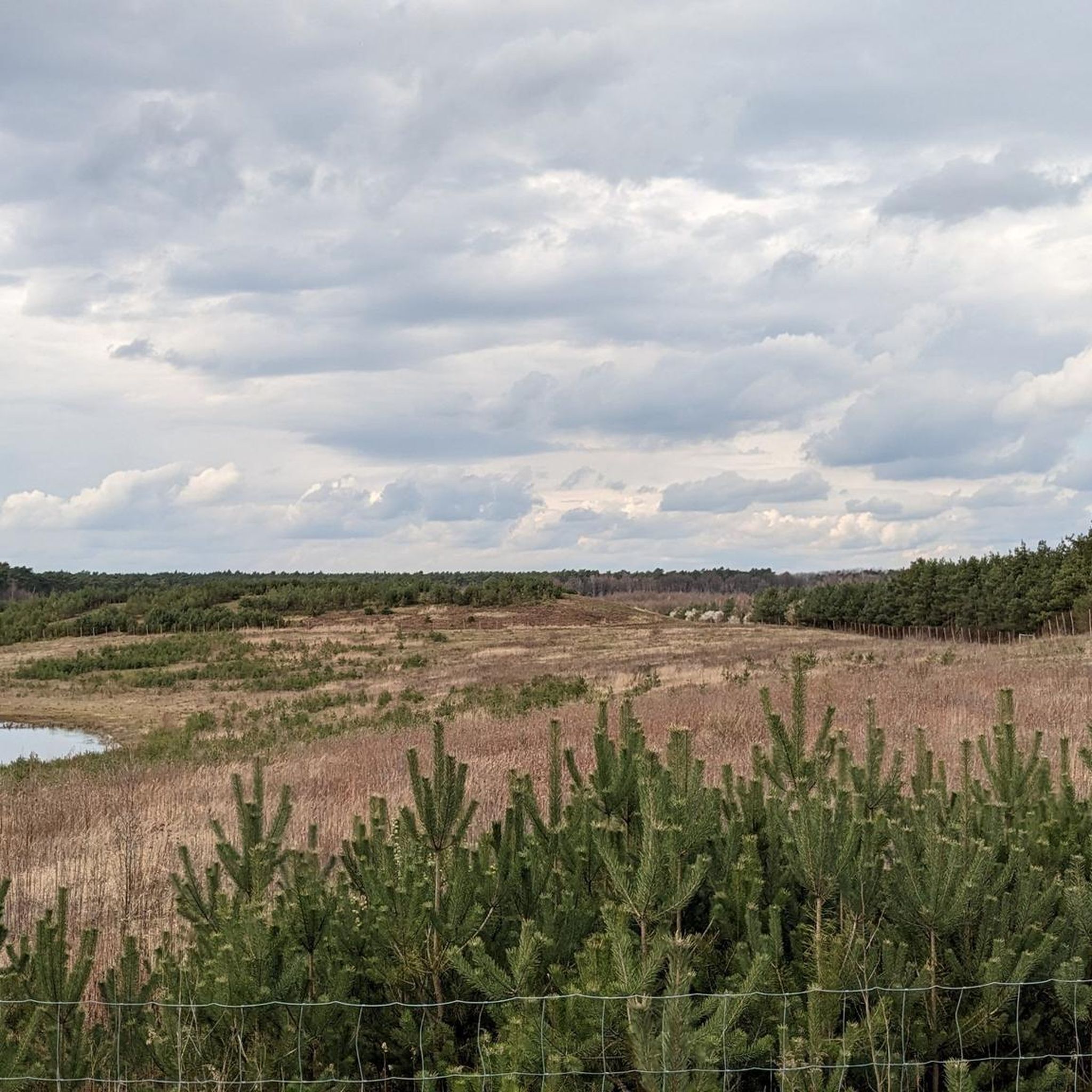
Cycling in Üfter-, Rüster- Und Emmelkämper Mark
Other adventures in Üfter-, Rüster- Und Emmelkämper Mark

Tips from the Community

Already partially rotten
0
0

Attention! The hiking trail will be closed during the red deer rutting season from September 10th to October 15th. A diversion of the trail was posted near us.
0
0

A very beautiful nature reserve, which invites you to take hikes and walks. The Deutener Moors to the east and especially the Dämmerwald to the west can also be highly recommended
0
0
I can recommend everything from the Mark, the Deutener Moors to the east and the Dämmerwald to the west. Very beautiful hiking areas. Lots of nature and variety, the paths are moderate and doable for everyone as there is no elevation gain
0
0

The Üfter-, Rüster- and Emmelkämper Mark nature reserve near Schermbeck in the Wesel district covers an area of around 1,060 hectares and is crossed by the A31 and B224. It has been under protection since 1995 in order to restore and preserve the habitats of dry heaths and berry-rich forests.
0
0

Nice and colorful place to rest
0
0

It's a nice idea that pink benches with tables have been set up along the Hohe Mark Steig.
0
0
Frequently Asked Questions
How many running routes are available in Üfter-, Rüster- Und Emmelkämper Mark?
The region offers a diverse network of over 14 running routes, catering to various fitness levels. These trails wind through extensive forests, open heathlands, and unique sandy sections, providing a rich and varied experience for runners.
Are there easy jogging paths suitable for beginners in Üfter-, Rüster- Und Emmelkämper Mark?
Yes, there are routes suitable for beginners. For instance, the Ant Trail – Animal Track Trail – Rüster Mark loop from St. Ludgerus is a moderate 5.1 km path that offers a pleasant experience without significant elevation changes, perfect for those starting out or looking for a relaxed run.
What kind of terrain can I expect on the running trails in Üfter-, Rüster- Und Emmelkämper Mark?
The terrain is quite varied, featuring extensive forests, open heathlands, and small moor areas. You'll also encounter unique sandy sections and dunes, remnants of ice-age glaciers, which add a distinct sensory experience to your run. The paths range from well-maintained forest trails to more natural, unpaved sections.
Are there any circular running routes in the region?
Absolutely. Many of the routes are circular, allowing you to start and end at the same point. A popular option is the Forst Gewerkschaft Augustus loop from Alt-Schermbeck, which is 8.6 km long and takes you through dense forest sections.
Can I bring my dog on the jogging trails in Üfter-, Rüster- Und Emmelkämper Mark?
Yes, the natural reserve is generally dog-friendly, making it a great place to run with your canine companion. Many trails are quiet and peaceful, offering ample space. However, always ensure your dog is under control and check for any specific local regulations regarding leashes or restricted areas, especially near wildlife observation points.
What are some interesting natural sights or viewpoints along the running routes?
The region is rich in natural beauty. You can find highlights like the Üfter Mark Wildlife Observation Platform, which offers opportunities to spot red deer and wild boars. The Barefoot Trail Information Board (Ant Trail) also provides insights into the local ecosystem and features unique sandy sections.
Is Üfter-, Rüster- Und Emmelkämper Mark suitable for family-friendly runs?
Yes, the diverse trail network includes options suitable for families. The varied landscapes and the presence of educational elements, such as those found along the Barefoot Trail, can make for an engaging experience for all ages. Shorter, easier loops are ideal for families with children.
What is the best time of year to go running in Üfter-, Rüster- Und Emmelkämper Mark?
The region offers a beautiful experience year-round. Spring and autumn are particularly popular due to pleasant temperatures and vibrant foliage. Autumn also brings the deer rut, a notable natural spectacle. Even in winter, the forests provide a serene backdrop for a run, though some paths might be muddy or require appropriate footwear.
Are there parking facilities available near the running trailheads?
Yes, parking is generally available at various access points to the nature reserve. While specific parking lots are not detailed for every trailhead, the area is well-equipped for visitors arriving by car, allowing easy access to the extensive trail network.
What do other runners enjoy most about jogging in Üfter-, Rüster- Und Emmelkämper Mark?
The area is highly rated by the komoot community, with an average score of 4.7 stars. Runners often praise the tranquility and immersive nature experience, highlighting the extensive forests and varied landscapes. The well-maintained and diverse trail network, offering options for all fitness levels, is also frequently mentioned as a major draw.
Are there any longer, more challenging running routes for experienced runners?
For experienced runners seeking a challenge, the Forest Path in Üfter Mark – Üfter Mark Forest loop from Üfter-, Rüster- und Emmelkämper Mark is a difficult 16.5 km path. This route provides an extensive journey through the region's woodlands, offering a more demanding and rewarding experience.
Can I find cafes or restaurants near the running routes in Üfter-, Rüster- Und Emmelkämper Mark?
While the nature reserve itself is primarily focused on natural landscapes, there are typically cafes and restaurants in the nearby towns and villages surrounding Üfter-, Rüster- Und Emmelkämper Mark. These establishments offer opportunities for refreshments and meals before or after your run.
Most popular routes in Üfter-, Rüster- Und Emmelkämper Mark
Most popular attractions in Üfter-, Rüster- Und Emmelkämper Mark

Get inspired with the komoot mobile app


Explore more
Browse the best Running Trails & Routes in other regions.
