The best road cycling routes in Nsg Sonnenbornbachtal
4.7
(282)
3,209
riders
139
rides
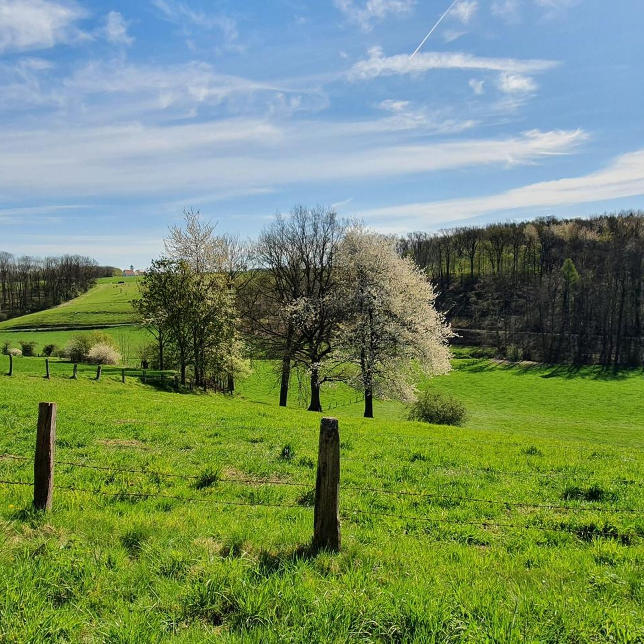
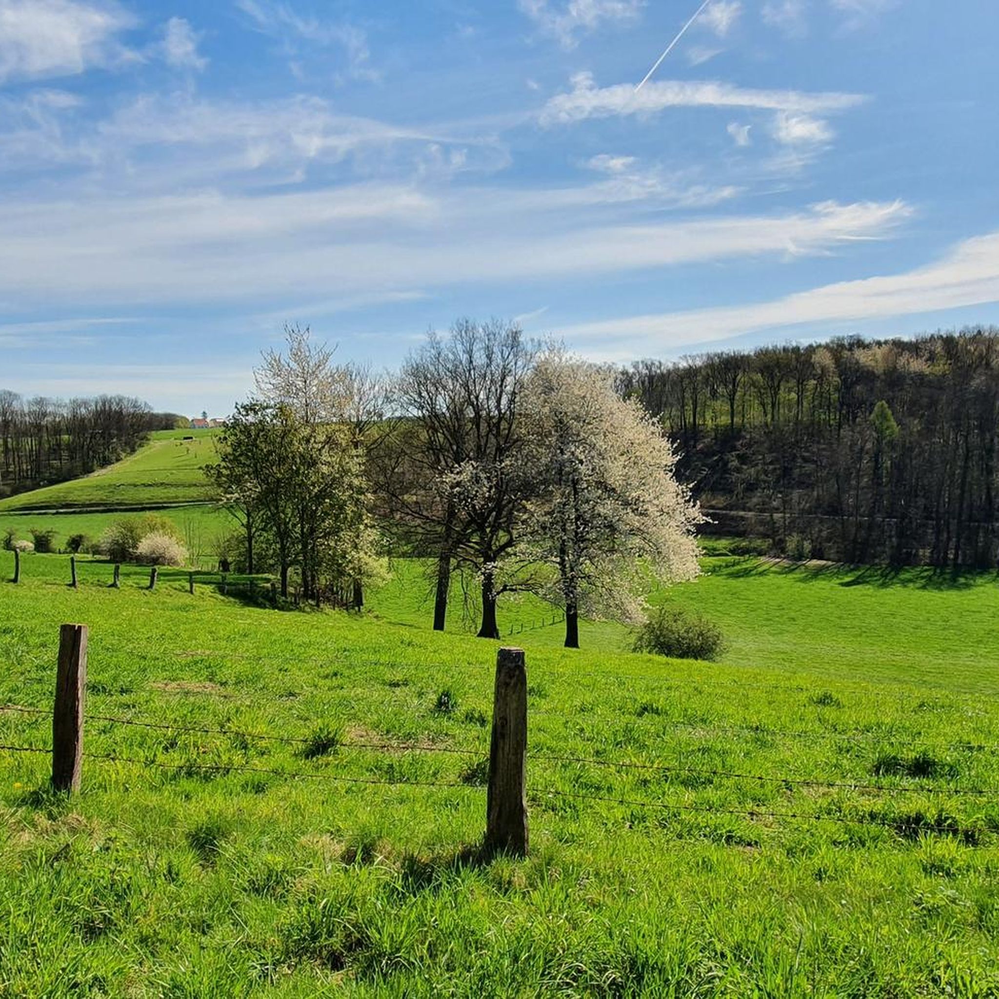
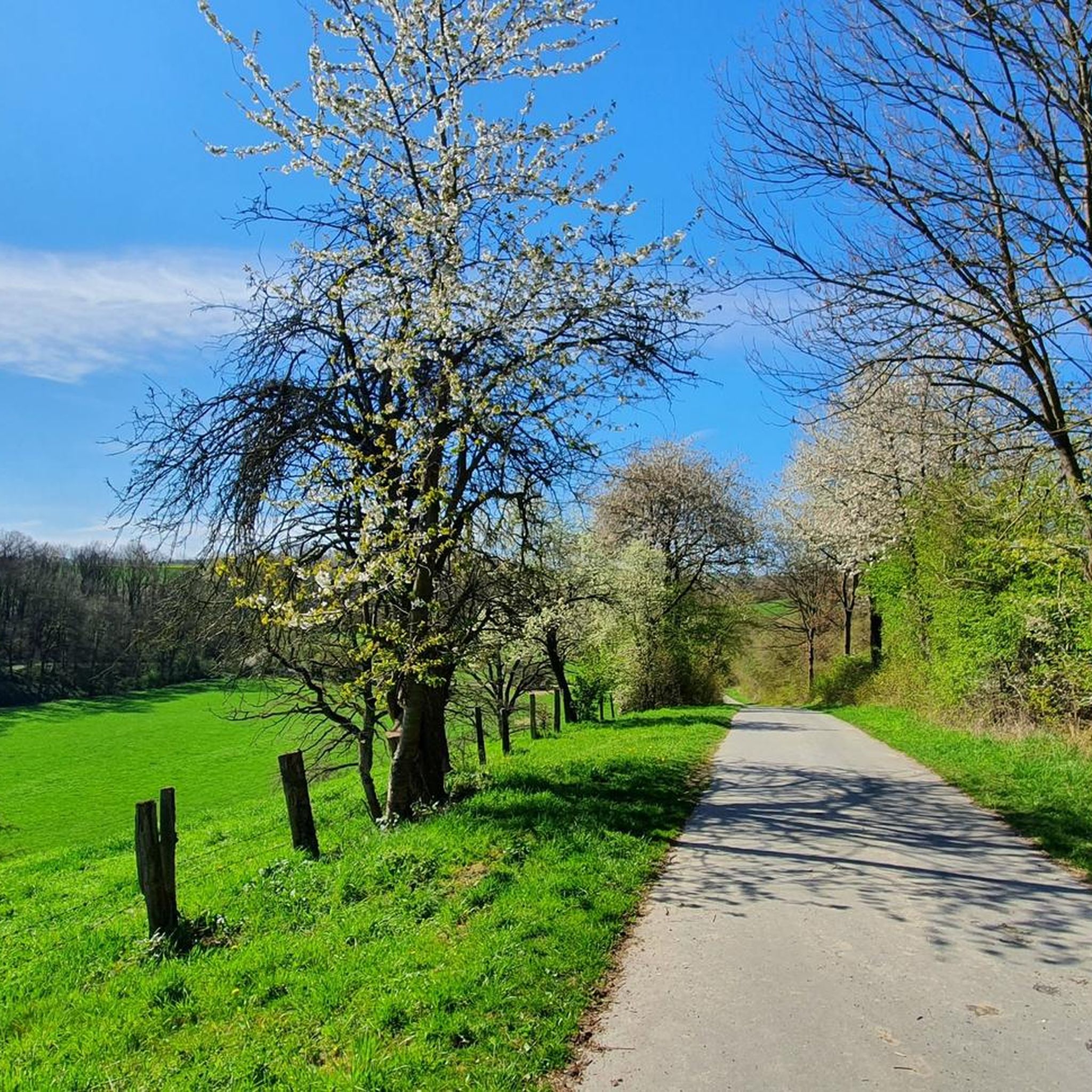
Road cycling routes in Nsg Sonnenbornbachtal traverse a diverse landscape characterized by near-natural stream sections, extensive grasslands, and old mixed deciduous forests. The region features varied topography, including both valley and hillside areas, which provide a mix of flat stretches and gentle ascents. Many routes utilize well-maintained, often paved surfaces within the broader cycling network of the Soest district. This natural setting offers engaging terrain for road cyclists.
Best road cycling routes in Nsg Sonnenbornbachtal
- The most popular road cycling…
Last updated: July 5, 2026
4.5
(6)
31
riders
74.9km
03:36
910m
920m
Hard road ride. Very good fitness required. Some segments of this route may be unpaved and difficult to ride.
5.0
(1)
20
riders
37.7km
01:41
300m
300m
Moderate road ride. Good fitness required. Mostly well-paved surfaces and easy to ride.

Sign up for free
5.0
(1)
12
riders
29.1km
01:23
300m
300m
Easy road ride. Great for any fitness level. Mostly well-paved surfaces and easy to ride.
5.0
(1)
7
riders
109km
05:33
1,520m
1,530m
Hard road ride. Very good fitness required. Some segments of this route may be unpaved and difficult to ride.
5
riders
99.2km
04:45
1,260m
1,260m
Hard road ride. Very good fitness required. Some segments of this route may be unpaved and difficult to ride.
Get access to more routes and recommendations from other explorers.
Sign up for free
Already have an account?
Our route recommendations are based on thousands of hikes, rides, and runs completed by other people on komoot.
Start today with a free account
Your next adventure awaits.
Login or Signup


Tips from the Community


The beautiful property can only be viewed from the outside as it is privately owned.
0
0

Beautiful Baroque moated castle from the 18th century.
0
0

Very beautiful from the outside, unfortunately not open to the public, it is privately owned.
1
0

The above-mentioned Möhne Waterfall is not a waterfall in the usual sense. Rather, it is an artificially created dam in the Möhne River, from which an equally artificially created moat (mill race) was diverted, which in earlier times powered a grain mill. Today, the water in the former mill building still powers a generator to generate electricity. Like many rivers, there are several such dams on the Möhne (some up to about 2 meters high). The hydropower was used, among other things, for wood processing (sawmills) and stone processing (see, for example, the marble and granite processing by Dassel).
2
0

Teutoburg Forest in the Hochsauerland region?! Who didn't pay attention in geography class?
0
0

The cows are really an eye-catcher.
2
0

True to its name, the pretty town is situated on a mountain peak.
0
0
Frequently Asked Questions
What kind of terrain can I expect when road cycling in Nsg Sonnenbornbachtal?
Nsg Sonnenbornbachtal offers a diverse landscape for road cycling, featuring near-natural stream sections, extensive grasslands, and old mixed deciduous forests. You'll encounter varied topography, including both valley and hillside areas, providing a mix of flat stretches and gentle ascents. The broader Soest district, where the NSG is located, also offers predominantly flat landscapes in areas like the Soester Börde, alongside more challenging routes with elevation changes.
How many road cycling routes are available in Nsg Sonnenbornbachtal?
There are over 130 road cycling routes available in Nsg Sonnenbornbachtal and the immediate surrounding area, catering to various skill levels. This includes 34 easy routes, 90 moderate routes, and 13 difficult routes, ensuring options for every cyclist.
Are there any family-friendly road cycling routes in Nsg Sonnenbornbachtal?
Yes, the region offers several family-friendly road cycling options, particularly those with mostly paved surfaces and gentler gradients. An easy route suitable for families is the Stütings Mill Watermill – Stepping Stones on the Möhne River loop from Altenmellrich, which is 18.2 miles (29.2 km) long and offers scenic views around the Möhne River.
What natural features or landmarks can I see along the road cycling routes?
Road cycling routes in Nsg Sonnenbornbachtal allow you to experience near-natural stream sections of the Sonnenbornbach, extensive grasslands, and ancient mixed deciduous forests. The area's varied topography also provides scenic viewpoints. While cycling, you might pass historical sites like Körtlinghausen Castle or enjoy the scenery around the Hennesee Dam and Hennesee.
What is the best time of year for road cycling in Nsg Sonnenbornbachtal?
The spring, summer, and early autumn months generally offer the best conditions for road cycling in Nsg Sonnenbornbachtal. During these seasons, the weather is typically mild, and the natural landscapes of grasslands, forests, and stream sections are at their most vibrant. German cycling paths are generally well-maintained, making them enjoyable in various conditions.
Are there any circular road cycling routes available?
Yes, many of the routes in Nsg Sonnenbornbachtal are designed as loops, allowing for circular tours. For example, the popular Körtlinghausen Castle – Paved cycle path in Belecke loop from Altenmellrich is a 45.7 miles (73.5 km) circular route, and the Hennesee Dam – Hennesee loop from Altenmellrich is another excellent circular option.
What do other road cyclists enjoy most about road cycling in Nsg Sonnenbornbachtal?
The area is highly rated by the komoot community, with an average score of 4.7 stars from over 190 reviews. Cyclists often praise the diverse and scenic natural landscape, including the tranquil stream sections, open grasslands, and immersive mixed deciduous forests. The well-maintained, often paved surfaces and varied terrain, from flat stretches to gentle ascents, are also frequently highlighted as enjoyable aspects.
Where can I find parking for road cycling in Nsg Sonnenbornbachtal?
While specific parking areas within the immediate NSG Sonnenbornbachtal are not detailed, the region is well-integrated into the broader cycling network of the Soest district. Cyclists often start their tours from nearby towns or villages like Altenmellrich, where public parking options are typically available. It's advisable to check local parking facilities in these starting points.
Can I access Nsg Sonnenbornbachtal by public transport for cycling?
The Soest district, which encompasses Nsg Sonnenbornbachtal, has a regional public transport network. While direct access to the nature reserve itself might be limited, you can often reach nearby towns and villages by bus or train, from where you can start your cycling tour. Check local transport schedules for connections to places like Anröchte or Altenmellrich.
Are there challenging road cycling routes for experienced riders?
Yes, for experienced riders seeking a challenge, Nsg Sonnenbornbachtal and its surroundings offer routes with significant elevation changes. The Hirschberg Village on the Hill – Lattenberg loop from Altenmellrich is a difficult 67.7 miles (109 km) route with substantial climbing, and the Effeln Wind Farm – 8% Incline in Sauerland loop from Altenmellrich also presents a moderate challenge with notable inclines.
Are there places to eat or stay near the road cycling routes?
The Nsg Sonnenbornbachtal is situated within the Soest district, which includes several towns and villages. You'll find various cafes, pubs, restaurants, and accommodation options in nearby communities such as Anröchte, Belecke, or Warstein. These places offer opportunities to refuel and relax before or after your ride.
Most popular routes in Nsg Sonnenbornbachtal

Get inspired with the komoot mobile app


Explore more
Browse the best Road cycling routes in other regions.
