Wellier Schleife/ Staustufe Landesbergen
Wellier Schleife/ Staustufe Landesbergen
The best walks and hikes in Wellier Schleife/ Staustufe Landesbergen
4.5
(658)
2,538
hikers
256
hikes
Hiking in Wellier Schleife/ Staustufe Landesbergen offers trails characterized by their proximity to the Weser river and diverse waterscapes. The region encompasses the Naturschutzgebiet Wellier Schleife/Staustufe Landesbergen, featuring an old arm of the Weser and various lakes. A central feature is the Staustufe Landesbergen, a weir system with a lock and hydroelectric power station. The area is well-suited for easy hikes and walks, with generally accessible paths and minimal elevation gain.
Best hiking trails in Wellier Schleife/ Staustufe Landesbergen
- The…
Last updated: August 25, 2026
4.0
(2)
13
hikers
7.47km
01:53
10m
10m
Easy hike. Great for any fitness level. Easily-accessible paths. Suitable for all skill levels.
4.0
(2)
5
hikers
6.47km
01:37
0m
0m
Easy hike. Great for any fitness level. Easily-accessible paths. Suitable for all skill levels.

Sign up for free
4.0
(2)
2
hikers
Moderate hike. Good fitness required. Easily-accessible paths. Suitable for all skill levels.
2
hikers
5.88km
01:29
10m
10m
Easy hike. Great for any fitness level. Easily-accessible paths. Suitable for all skill levels.
5
hikers
2.33km
00:36
10m
10m
Easy hike. Great for any fitness level. Easily-accessible paths. Suitable for all skill levels.
Get access to more routes and recommendations from other explorers.
Sign up for free
Already have an account?
Our route recommendations are based on thousands of hikes, rides, and runs completed by other people on komoot.
Start today with a free account
Your next adventure awaits.
Login or Signup
Popular around Wellier Schleife/ Staustufe Landesbergen

Weser-Radweg Rundtouren in der Mittelweser-Region
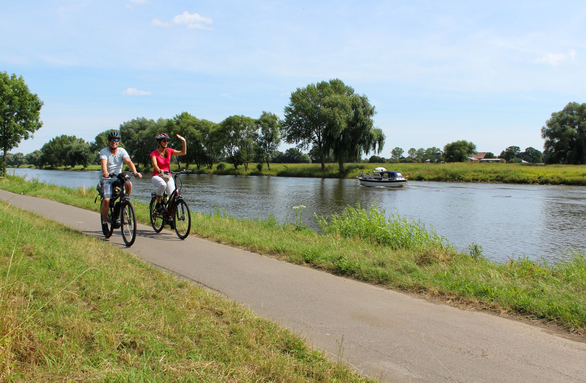
Radtouren in der Mittelweser-Region
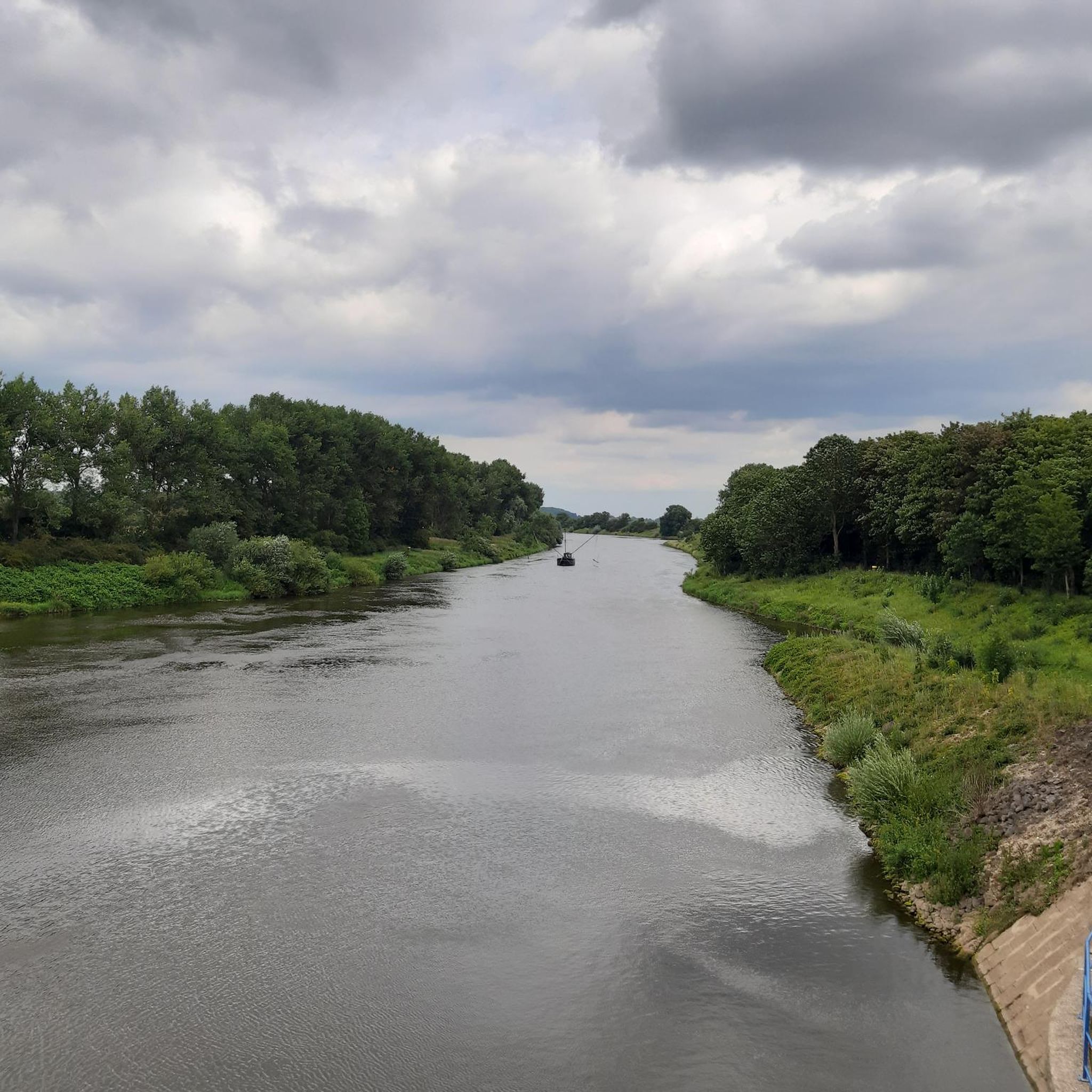
Cycling in Wellier Schleife/ Staustufe Landesbergen
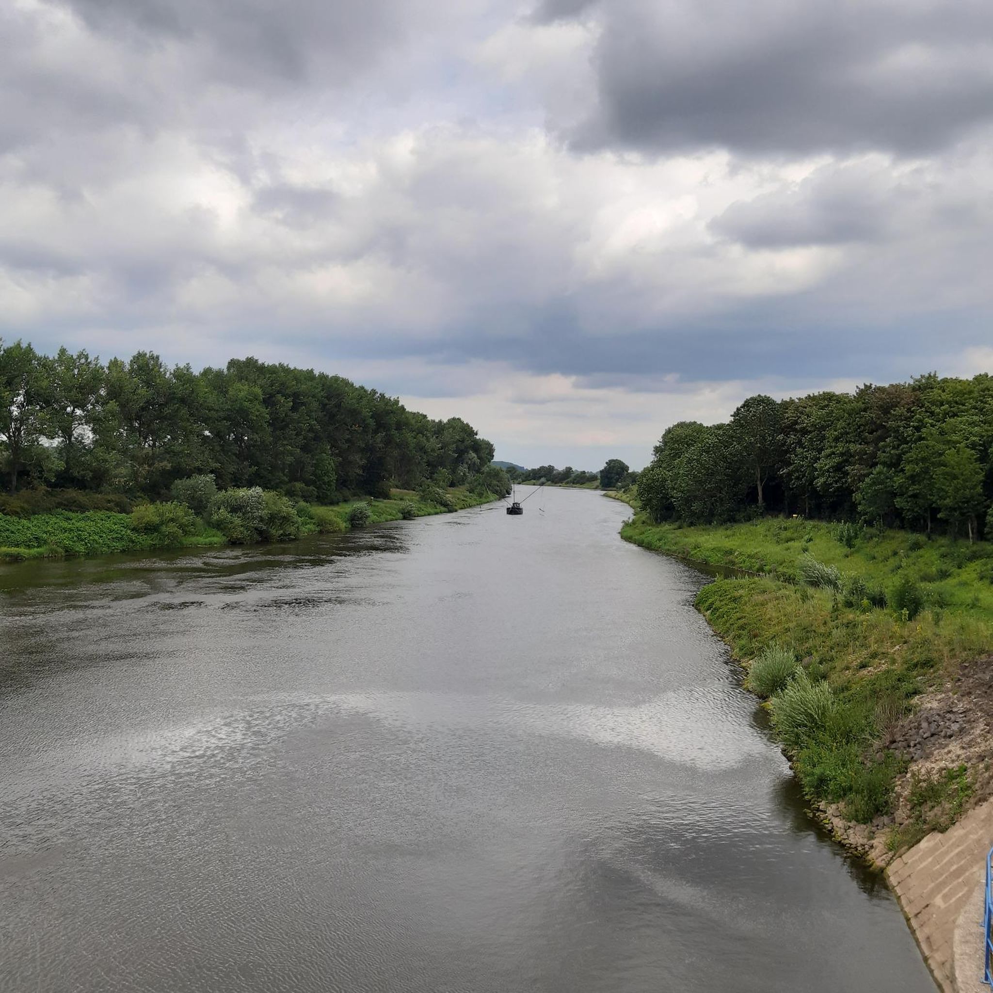
Road Cycling Routes in Wellier Schleife/ Staustufe Landesbergen
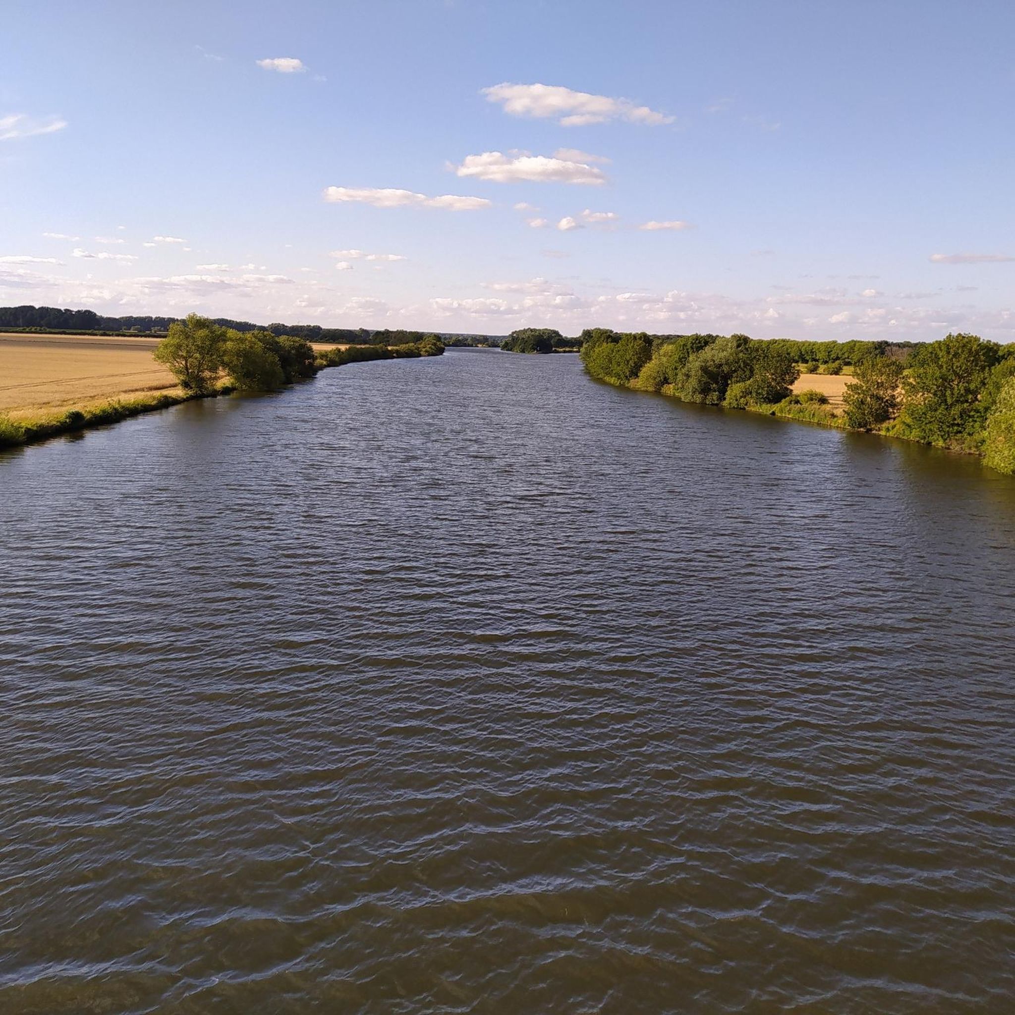
MTB Trails in Wellier Schleife/ Staustufe Landesbergen
Gravel biking in Wellier Schleife/ Staustufe Landesbergen
Other adventures in Wellier Schleife/ Staustufe Landesbergen

Tips from the Community

Bridge over the Weser near Landesbergen, you have a nice view of the Weser here.
1
0


The Weser Cycle Path is very well-developed and one of the best cycling and hiking trails. The Weser bridge near Landesbergen is a beautiful and useful connection for cyclists and hikers. From the bridge, you have a stunning view in both directions across the Weser floodplain. A bike tour is highly recommended 👍🏻.
5
0

From the bridge you have a great view of the Weser region
5
0

The Weser Bridge near Landesbergen is a beautiful and useful connection for cyclists. From the bridge, you have a stunning view of the expansive Weser floodplains in both directions.
5
0

Outside the village of Wellie you will find this quiet bathing lake with a small sandy beach and bathing island.
0
0

The route on the Landesberger side of the Weser towards Nienburg is also better than the one on the left side of the Weser, I often travel on both sides without luggage, then I am happy when I have the Wellier loop behind me
5
0

Frequently Asked Questions
How many hiking trails are there in Wellier Schleife/ Staustufe Landesbergen?
The Wellier Schleife/Staustufe Landesbergen area offers a wide selection of hiking opportunities, with over 270 routes available. Most of these are easy to moderate, making the region accessible for various fitness levels.
What kind of difficulty can I expect on hikes in Wellier Schleife/ Staustufe Landesbergen?
The region is particularly well-suited for easy hikes and walks, with 187 easy routes and 82 moderate options. Paths are generally accessible with minimal elevation gain, requiring no specific sure-footedness. Only a few routes are considered difficult.
Are there any circular hiking routes in the Wellier Schleife area?
Yes, many of the trails in Wellier Schleife/Staustufe Landesbergen are circular. For example, the Scenic Lake Landscape loop from Landesbergen offers picturesque views around the lakes, and the Windmill Blaubeerenhof – Weser bridge Landesbergen loop takes you past a notable windmill and along the Weser river.
What can I see along the hiking trails in Wellier Schleife/ Staustufe Landesbergen?
The trails often lead along the Weser river and various lakes, offering diverse waterscapes. A central attraction is the Landesbergen Lock, a significant weir system. You might also encounter the Weser bridge Landesbergen or natural features like the Blossoming Orchard and Apple Orchards.
Are the hiking trails in Wellier Schleife/ Staustufe Landesbergen suitable for families with children?
Absolutely. The area is ideal for family-friendly outings due to its generally easy and accessible paths with minimal elevation gain. Many routes are up to two hours long, perfect for shorter excursions with children.
Is there parking available near the trailheads?
While specific parking locations are not detailed for every trailhead, the area is generally accessible, and parking options are typically available in and around Landesbergen, especially near popular starting points for trails.
What do other hikers enjoy the most about hiking in Wellier Schleife/ Staustufe Landesbergen?
The area is highly rated by the komoot community, with an average score of 4.5 stars from over 590 reviews. Hikers often praise the tranquil waterscapes, the accessible paths, and the opportunity to experience nature along the Weser river and surrounding lakes.
Are there any longer hikes for more experienced hikers?
While the region is known for its easy trails, there are longer options available. For instance, the Windmill Blaubeerenhof – Weser bridge Landesbergen loop is a moderate 11.7 km trail that takes nearly 3 hours to complete, offering a more extended experience.
What is the best time of year to go hiking in Wellier Schleife/ Staustufe Landesbergen?
The Wellier Schleife/Staustufe Landesbergen area is enjoyable throughout much of the year. Spring and autumn offer pleasant temperatures and beautiful scenery, especially with blossoming orchards or colorful foliage. Summer is also popular for waterside walks, and even mild winter days can be suitable for a peaceful hike.
Can I bring my dog on the hiking trails?
Many trails in the Wellier Schleife/Staustufe Landesbergen area are dog-friendly, allowing you to enjoy the natural surroundings with your canine companion. However, it's always recommended to keep dogs on a leash, especially within the Naturschutzgebiet (nature reserve) and near wildlife, to protect the local ecosystem.
Are there any specific landmarks or points of interest related to the Staustufe Landesbergen?
The Landesbergen Lock itself is a significant landmark, part of the weir system on the Middle Weser. This structure, built in the 1950s, includes a lock, a fish ladder, and a hydroelectric power station, showcasing an interesting blend of engineering and nature. You can learn more about its history on Wikipedia.
Are there any routes that specifically highlight the weir system?
Yes, the Lock and Weir – Landesbergen Lock loop from Landesbergen is a 7.3 km trail that directly passes by the functional weir system, offering a close-up view of this impressive structure.
Most popular routes in Wellier Schleife/ Staustufe Landesbergen
Most popular attractions in Wellier Schleife/ Staustufe Landesbergen

Get inspired with the komoot mobile app


Explore more
Browse the best Hikes in other regions.
