The best road cycling routes in Südlicher Drömling
4.6
(278)
3,266
riders
237
rides
Road cycling in Südlicher Drömling is characterized by its largely flat, lowland moor landscape, situated between 56 and 60 meters above sea level. This UNESCO Biosphere Reserve features an intricate "chessboard pattern" of canals and ditches, alongside extensive wet meadows and diverse forest areas like the Allerauenwald. The region offers a well-developed network of cycling paths, primarily on paved surfaces, making it accessible for various fitness levels. While generally flat, some routes may include minor elevation changes.
Best road cycling…
Last updated: September 30, 2026
2
riders
63.4km
02:32
280m
280m
Moderate road ride. Good fitness required. Mostly well-paved surfaces and easy to ride.
5
riders
Moderate road ride. Great for any fitness level. Some segments of this route may be unpaved and difficult to ride.

5.0
(1)
7
riders
49.5km
02:00
270m
270m
Moderate road ride. Great for any fitness level. Some segments of this route may be unpaved and difficult to ride.
5
riders
14.6km
00:38
50m
50m
Easy road ride. Great for any fitness level. Mostly well-paved surfaces and easy to ride.
7
riders
18.4km
00:50
50m
50m
Moderate road ride. Great for any fitness level. Some segments of this route may be unpaved and difficult to ride.
Get access to more routes and recommendations from other explorers.
Already have an account?
Our route recommendations are based on thousands of hikes, rides, and runs completed by other people on komoot.
Start today with a free account
Your next adventure awaits.
Tips from the Community

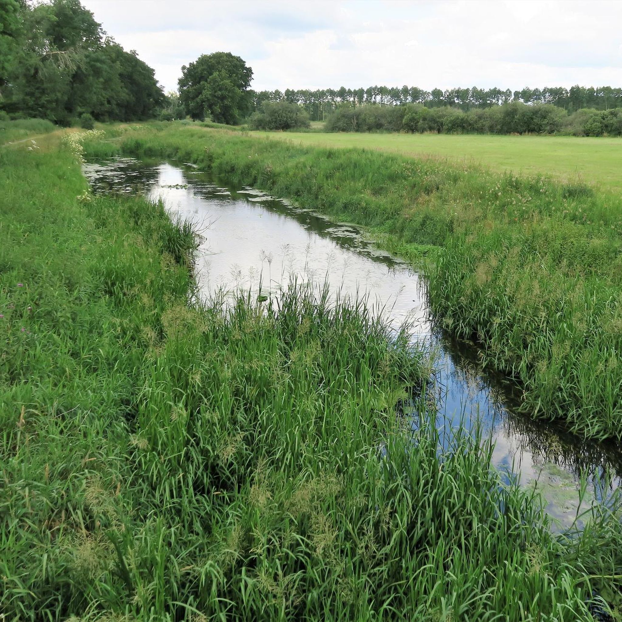
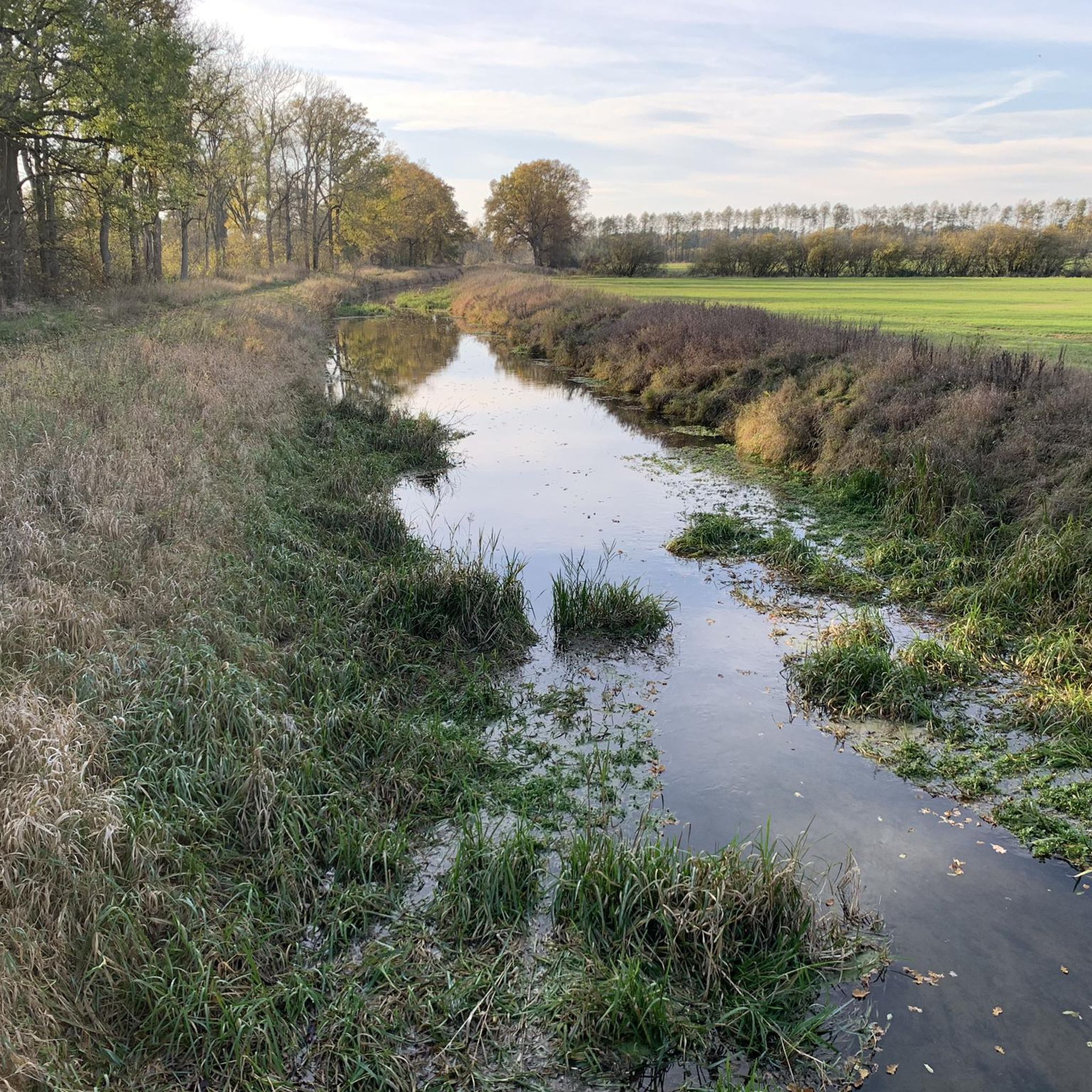
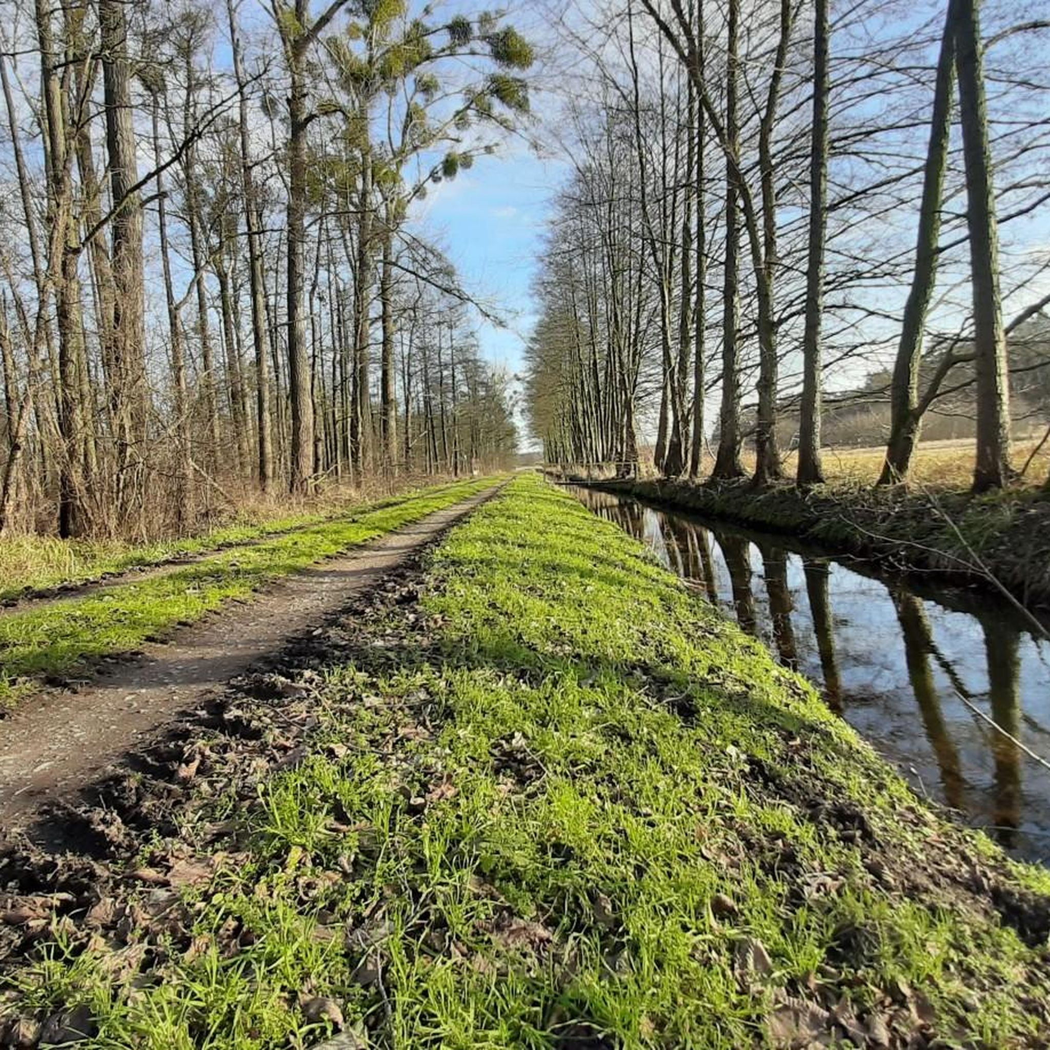
The cycle path between Danndorf and Grafhorst is an important connection for cyclists, walkers, and commuters. The route leads through the charming landscape of the Aller and Drömling region and offers beautiful views of fields, meadows, and forest areas along the way. It is suitable for both the daily commute and for leisure tours and is part of a well-developed cycle path network in the region. The route is particularly popular due to its quiet location and proximity to the Katharinenbach and the Aller. It connects the two places safely and contributes to making cycling traffic in the district more attractive.
0
0
The village church of Grafhorst is a small, typically rural church that shapes the village landscape of Grafhorst in Lower Saxony. Such village churches are often kept very simple, but have a special historical and communal value for the region. A short tip: When visiting, pay special attention to the quiet atmosphere inside and the often lovingly maintained details such as old woodwork or historical gravestones around the church. Especially in small villages, it is often worth taking a look at the surroundings of the church – it is usually the historical center of the village and tells a lot about the local history.
0
0
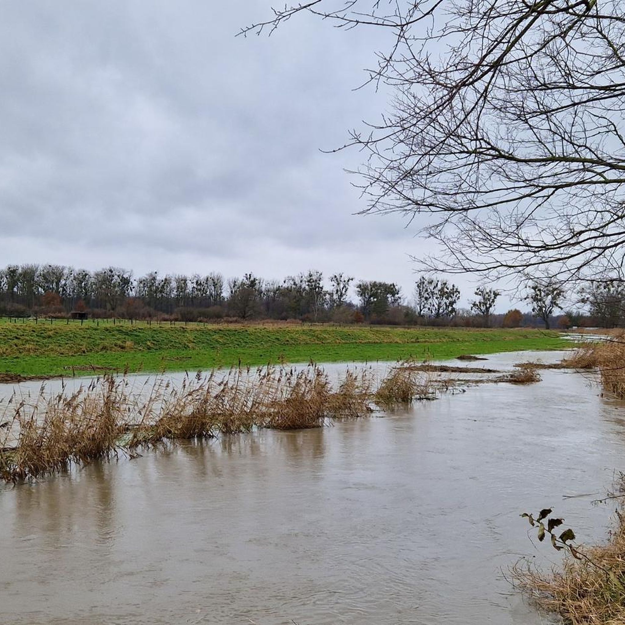
The Aller near Grafhorst is a quiet stretch of the Aller river (river), which is particularly suitable for walks and nature observation.
0
0
A very nice route across the Mittelland Canal
0
0

The historic town hall of the municipality of Oebisfelde, with a Roland statue on the front. It has been closed since 2024 and is scheduled to undergo a €5.4 million renovation by 2028. (Question: Volksstimme, May 21, 2024).
0
0

Late Gothic hall church, Romanesque in its core. Square west tower with a bent spire.
0
0
Roadside cycle path between Danndorf and Velpke with good asphalt
0
0
Former school building with church tower-like top
0
0
Frequently Asked Questions
What kind of terrain can I expect when road cycling in Südlicher Drömling?
Südlicher Drömling is characterized by a largely flat, lowland moor landscape, typically between 56 and 60 meters above sea level. The region is known as the "Land of a thousand ditches" due to its intricate network of canals and ditches. While generally flat, some routes may include minor elevation changes. Most routes are on paved surfaces, making them accessible for various fitness levels.
How many road cycling routes are available in Südlicher Drömling?
There are over 250 road cycling routes available in Südlicher Drömling on komoot, offering a wide range of options for different abilities and preferences. This includes over 60 easy routes and nearly 200 moderate routes.
Are there any family-friendly road cycling routes in Südlicher Drömling?
Yes, Südlicher Drömling offers several family-friendly road cycling routes, thanks to its generally flat terrain and well-developed network of paved paths. An easy option is the St. Andreas Church Velpke – View of the Aller loop from Danndorf, which is 14.0 km long and leads through the distinctive network of waterways.
What natural features or landmarks can I see along the road cycling routes?
As a UNESCO Biosphere Reserve, Südlicher Drömling offers unique natural features. You can explore the extensive wet meadows, the intricate "chessboard pattern" of canals, and diverse forest areas like the Allerauen Forest in Drömling. The region is also a vital habitat for various bird species and wildlife like beavers and otters. Keep an eye out for observation towers for wildlife viewing. You might also encounter the Aller River in Politz und Hegholz Nature Reserve.
What is the best time of year for road cycling in Südlicher Drömling?
The best time for road cycling in Südlicher Drömling is generally from spring to autumn. In winter and early spring, the wet meadows can transform into reflective surfaces due to floods, which is beautiful for nature observation but might make some unpaved sections less suitable for road bikes. The region's flat terrain makes it enjoyable in milder weather conditions.
Are there any challenging road cycling routes for experienced cyclists?
While Südlicher Drömling is largely flat, some routes offer longer distances and can be considered more challenging. For instance, the View Over the Old Border Strip – Oebisfelde loop from Danndorf is a moderate 63.4 km path that provides a longer endurance challenge while offering views over the historical border strip and lowland terrain.
Are there circular road cycling routes available?
Yes, many road cycling routes in Südlicher Drömling are designed as loops, allowing you to start and end at the same point. An example is the St. Andreas Church, Velpke – Paved Cycle Path loop from Danndorf, a 21.6 km moderate route that follows a dedicated paved cycle path.
What do other road cyclists enjoy most about Südlicher Drömling?
The road cycling routes in Südlicher Drömling are highly rated by the komoot community, with an average score of 4.7 stars from over 340 reviews. Cyclists often praise the quiet, flat routes, the unique lowland moor landscape, and the opportunities for nature observation, especially the extensive network of canals and ditches.
Are there options for easy road cycling routes for beginners?
Absolutely. Südlicher Drömling is ideal for beginners due to its predominantly flat terrain. Routes like the View of the Aller loop from Vorsfelde, at 20.4 km, offer an easy and enjoyable ride through the scenic landscape.
Where can I find parking or access routes via public transport?
Many routes in Südlicher Drömling start from towns and villages like Danndorf, Vorsfelde, or Neuhaus, where parking facilities are typically available. While specific public transport options vary, the well-developed cycling network often connects to regional transport hubs. It's advisable to check local public transport schedules for connections to your chosen starting point.
Can I find cafes or places to rest along the road cycling routes?
The routes in Südlicher Drömling often pass through or near small towns and villages. While specific amenities vary by route, you can typically find cafes, restaurants, or guesthouses in these settlements to refuel and rest during your ride. Planning your route in advance can help identify suitable stops.
Is there a specific cycling trail that highlights the region's unique characteristics?
Yes, the "Niedersächsischer Drömling" Cycling Trail is a signposted route that runs through the diverse landscapes of the Lower Saxony part of the Drömling. This 26 km trail passes through seven nature reserves, offering a great way to experience the region's unique lowland moor landscape and its rich biodiversity.
Most popular routes in Südlicher Drömling
Most popular attractions in Südlicher Drömling

Get inspired with the komoot mobile app


Explore more
Browse the best Road cycling routes in other regions.
