The best road cycling routes in Untere Mulde
4.7
(673)
5,623
riders
305
rides
Road cycling in Untere Mulde is characterized by the meandering Mulde river, which shapes a diverse and scenic landscape. The region features extensive floodplains with riparian forests and meadows, offering mostly gentle gradients ideal for cycling. Adjacent to the river landscape, the Dübener Heide Nature Park provides varied scenery with its mixed forests. This combination of river valleys and forested areas creates a rich environment for road cyclists.
Best road cycling routes in Untere Mulde
- The most popular road cycling route is Limes Tower Himmelsturm – Lake in Wörlitzer Park loop from Dessau-Waldersee, a 41.8 miles (67.3 km) trail that takes 2 hours 49 minutes to complete. This route connects notable landmarks and passes through varied landscapes.
- Another top favourite among local road cyclists is Chinese House Oranienbaum – Bridge at the Mulde Weir Raguhn loop from Dessau-Waldersee, a moderate 43.8 miles (70.5 km) path. This route features cultural sites and river crossings along its course.
- Local road cyclists also love the Jagdbrücke over the River Mulde – Castle Gate (Sieglitzer Park) loop from Dessau-Waldersee, a 28.9 miles (46.5 km) trail leading through the Mulde river area and parkland, often completed in about 1 hour 59 minutes.
- Road cycling in Untere Mulde is defined by the Mulde river, its floodplains, and riparian forests, alongside the forested areas of the Dübener Heide Nature Park. The network offers options for easy road bike trails as well as more moderate routes.
- The routes in Untere Mulde are highly rated by the komoot community with an average score of 4.7 stars from over 600 reviews. More than 5,500 road cyclists have used komoot to explore Untere Mulde's varied terrain.
Last updated: June 27, 2026
4.8
(10)
141
riders
Moderate road ride. Good fitness required. Some segments of this route may be unpaved and difficult to ride.
5.0
(1)
32
riders
Moderate road ride. Good fitness required. Some segments of this route may be unpaved and difficult to ride.

Sign up for free
4.5
(4)
25
riders
46.5km
01:59
100m
100m
Moderate road ride. Great for any fitness level. Some segments of this route may be unpaved and difficult to ride.
5.0
(3)
22
riders
Easy road ride. Great for any fitness level. Mostly well-paved surfaces and easy to ride.
23
riders
43.8km
01:47
60m
60m
Moderate road ride. Great for any fitness level. Some segments of this route may be unpaved and difficult to ride.
Get access to more routes and recommendations from other explorers.
Sign up for free
Already have an account?
Our route recommendations are based on thousands of hikes, rides, and runs completed by other people on komoot.
Start today with a free account
Your next adventure awaits.
Login or Signup
Tips from the Community

Wonderful garden realm, always worth a stop.
0
0

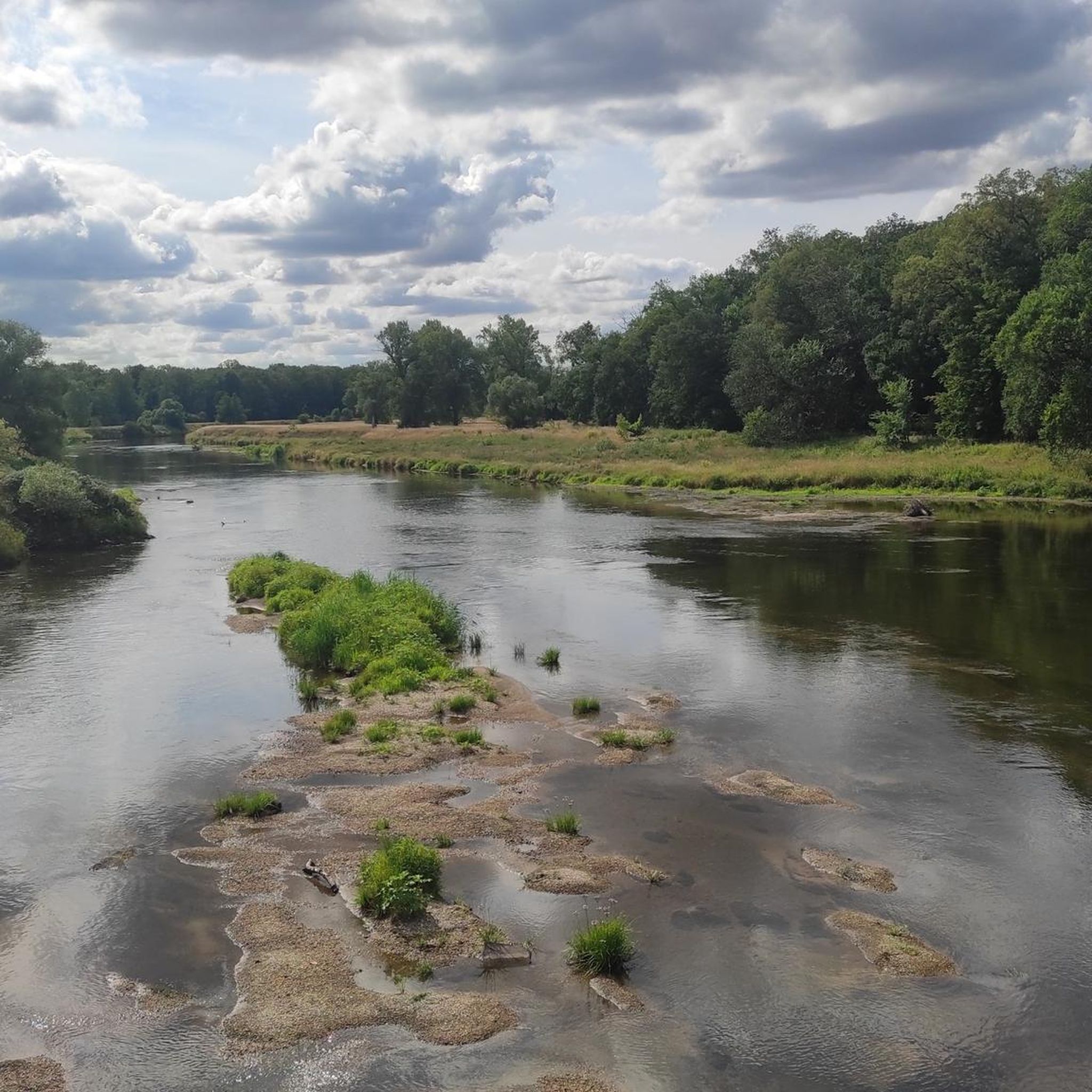
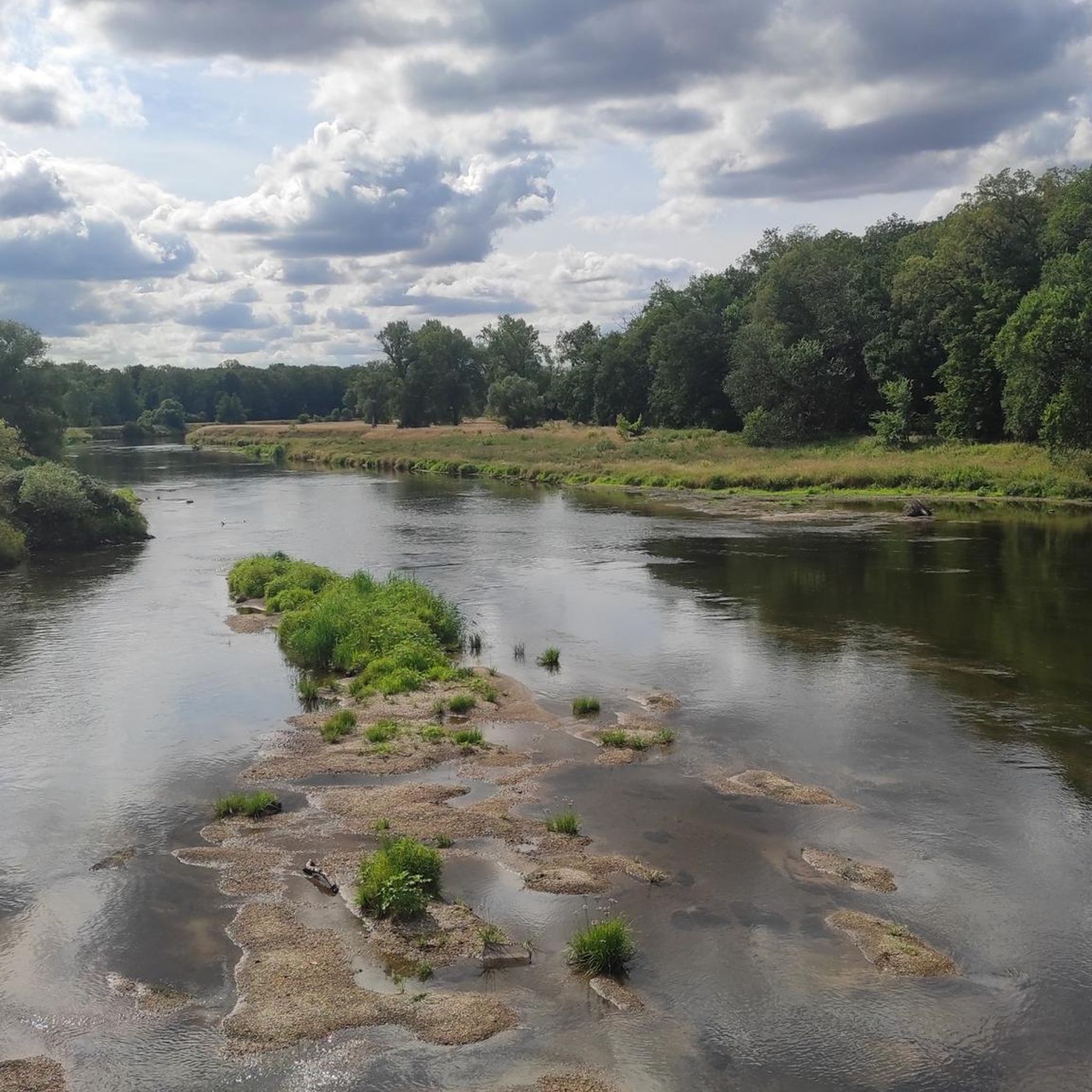
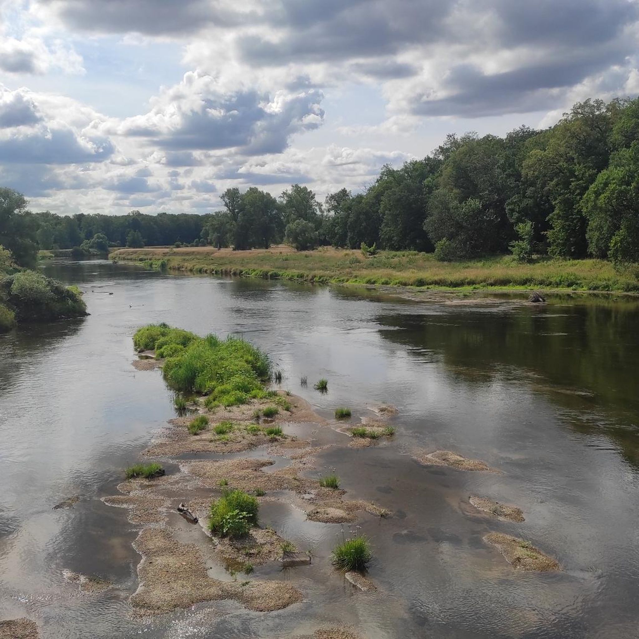
Great view from the bridge of the Mulde weir
1
0

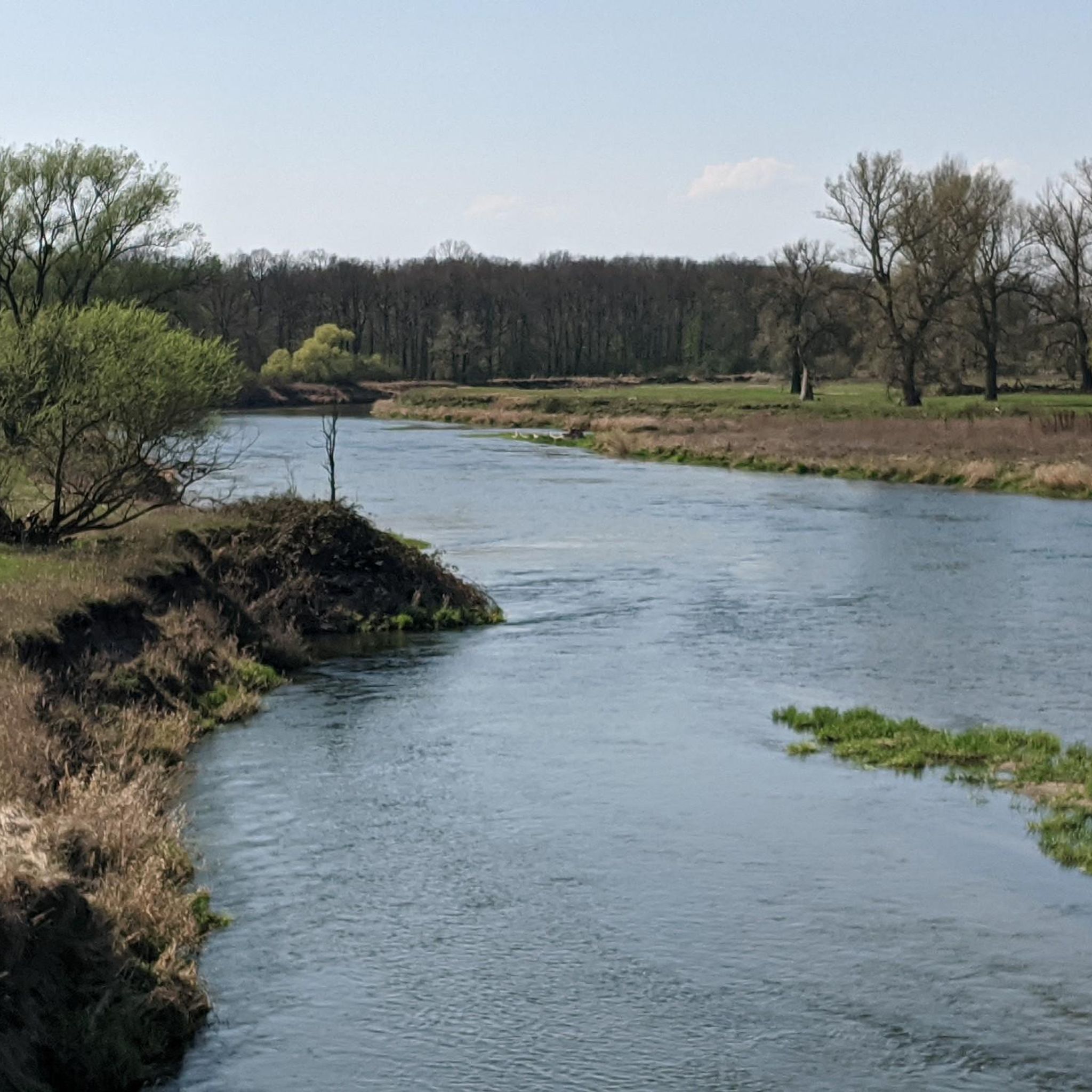
It's about time everything turned green again 😊
0
0
The Mulde River flows entirely within the North German Plain, initially through the Saxon Hills and past Grimma, Nerchau, and Trebsen. Near Wurzen, along whose western edge it runs, the Mulde reaches the Elbe-Mulde Lowland. It then flows through Eilenburg and Bad Düben and shortly thereafter leaves Saxony. The Mulde completes the remaining course of its journey to its confluence with the Elbe in Saxony-Anhalt. Until 1975, the Mulde flowed west of the towns of Pouch and Friedersdorf in the area of what is now Lake Goitzsche. Since then, it has been dammed east of these towns to form the Mulde Reservoir – a former open-cast mine. The Mulde then flows past Muldenstein, Jeßnitz, Raguhn, and Dessau, emptying into the Elbe between Dessau and Roßlau after a course of 147 km.[2] [2] The "Wild Mulde" revitalization project for the lower reaches of the Mulde River in Dessau was recognized as an official project of the UN Decade on Biodiversity in November 2018.[11][12] Source: https://de.wikipedia.org/wiki/Mulde_(Fluss)
4
0
Although the confluence of the two source streams occurs at approximately half the total length of the Mulde River, the Freiberger Mulde and the Zwickauer Mulde already contribute over 80% of its total water volume. This is due, firstly, to the shape of the catchment area, which is very wide in the Ore Mountains and narrows towards the Elbe River, and secondly, to the higher precipitation and correspondingly higher runoff volumes in the mountains. The shape of the catchment areas also means that the longer Zwickauer Mulde is the smaller of the two source streams at the confluence. The Zschopau is the dominant hydrological branch of the Freiberger Mulde river system. In its upper catchment area, the Flöha, a named tributary, contributes the largest volume of water and is thus the actual source stream of the Mulde. The Mulde is approximately 267 kilometers long via this main route and over 314 kilometers via its longest route (the Zwickauer Mulde).[3] [3] The Mulde's catchment area has a total gradient of 600 to 900 meters for many of its major channels, resulting in exceptionally high flow velocities for northern Germany. The Mulde is sometimes even described as the fastest-flowing river in Central Europe.[10] Source: https://de.wikipedia.org/wiki/Mulde_(Fluss)
4
0
The Mulde, also known as the United Mulde or Vereinte Mulde, is a left, non-navigable tributary of the Elbe. It originates southeast of Leipzig near Sermuth (Saxony) from the confluence of two large headstreams: the longer Zwickauer Mulde and the Freiberger Mulde, which drains a larger catchment area due to its greater discharge. The river's catchment area encompasses large parts of Saxony and, in particular, the vast majority of the northern slopes of the Ore Mountains. With a discharge of approximately 73 m³/s at its mouth,[8] it is the fourth largest tributary of the Elbe. The old name for the Mulde, Milda, is translated by onomasticians as "the water-rich one."[9] The word element "Mel," referring to grinding, is sometimes associated with the name due to the numerous mills that once operated along the river. This overlooks the fact that river names represent the oldest, often Slavic or Celtic, layer of geographical names. The Mulde's name is sometimes linked to the numerous mills that once operated along its banks, but this connection overlooks the fact that river names represent the oldest, often Slavic or Celtic, layer of geographical names. Source https://de.wikipedia.org/wiki/Mulde_(Fluss)
4
0

I can only recommend Wörlitz Park with reservations...Why? I either ride my bike or go for a walk. The latter is only possible in the park (bicycles are prohibited).
0
0
Frequently Asked Questions
How many road cycling routes are available in Untere Mulde?
Untere Mulde offers a wide selection of road cycling routes, with over 300 routes available on komoot. This includes a diverse range of options, from easy to more challenging rides, ensuring there's something for every road cyclist.
What is the general difficulty level of road cycling routes in Untere Mulde?
The road cycling routes in Untere Mulde are predominantly characterized by gentle gradients, making them very accessible. Most routes are classified as moderate (over 260 routes), with a good number of easy routes (around 50) perfect for beginners or leisurely rides. There are also a few more difficult options for experienced cyclists.
Are there easy road cycling routes suitable for beginners in Untere Mulde?
Yes, Untere Mulde is very welcoming for beginners and those seeking easier rides. The region's terrain, shaped by the Mulde river, features mostly gentle slopes. You can find approximately 50 easy road cycling routes, such as the Bridge at the Mulde Weir Raguhn – Imperial Post Office Raguhn loop from Dessau-Waldersee, which covers 38.7 km with minimal elevation gain.
What interesting landmarks or sights can I see along the road cycling routes in Untere Mulde?
Many road cycling routes in Untere Mulde pass by significant landmarks and natural features. You can explore the Hunting Bridge over the Mulde, known for its viewing bulges, or the historical Manor House and Church Muldenstein. The region is also home to the UNESCO World Heritage Site Dessau-Wörlitz Garden Kingdom, offering cultural landscapes to discover.
Are there circular road cycling routes in Untere Mulde?
Yes, many road cycling routes in Untere Mulde are designed as loops, allowing you to start and end at the same point. For example, the popular Limes Tower Himmelsturm – Lake in Wörlitzer Park loop from Dessau-Waldersee is a 67.3 km circular trail that connects notable landmarks and varied landscapes.
What do other road cyclists say about their experience in Untere Mulde?
The road cycling routes in Untere Mulde are highly regarded by the komoot community, boasting an average rating of 4.7 stars from over 600 reviews. More than 5,500 road cyclists have explored the region using komoot, often praising the scenic river landscapes, well-maintained paths, and the combination of natural beauty with cultural sights.
Are the road cycling routes in Untere Mulde family-friendly?
Given the generally gentle gradients and the presence of numerous easy routes, many road cycling paths in Untere Mulde are suitable for families. The scenic riverine environment and the Mulde Cycle Route offer pleasant, less strenuous rides. Routes like the Selbitz Country Road – Stadtkirche Oranienbaum loop from Dessau-Waldersee are good options for a family outing.
What is the best time of year for road cycling in Untere Mulde?
The best time for road cycling in Untere Mulde is typically from spring to autumn. During these seasons, the weather is generally mild, and the landscapes, including the floodplains and riparian forests, are at their most vibrant. The Mulde river area provides a beautiful backdrop for rides, especially when the foliage is green or changing colors.
Can I bring my dog on road cycling routes in Untere Mulde?
While many outdoor activities in the region are dog-friendly, road cycling with a dog, especially on longer routes or those with higher speeds, requires careful consideration for the dog's safety and endurance. It's generally recommended for well-trained dogs that can keep pace safely alongside a bicycle. Always ensure your dog is leashed where required and has access to water.
Are there cafes or places to stop for refreshments along the road cycling routes?
Yes, the Untere Mulde region features idyllic villages and towns along the Mulde river, offering charming stops for cyclists. You'll find cafes, pubs, and restaurants in places like Dessau, Oranienbaum, and Muldenstein, providing opportunities to refuel and relax during your ride.
Is parking available for road cyclists in Untere Mulde?
Parking is generally available in the towns and villages that serve as starting points for road cycling routes in Untere Mulde, such as Dessau-Waldersee. Many routes are designed as loops, making it convenient to park your car and begin your ride. Specific parking information can often be found on individual route descriptions on komoot.
Can I reach road cycling routes in Untere Mulde using public transport?
Yes, several towns and cities in the Untere Mulde region, including Dessau, are well-connected by public transport. This allows cyclists to reach starting points for routes without a car. It's advisable to check local train or bus schedules and policies regarding bicycle transport in advance.
Most popular routes in Untere Mulde
Most popular attractions in Untere Mulde

Get inspired with the komoot mobile app


Explore more
Browse the best Road cycling routes in other regions.
