The best road cycling routes in Rogätzer Hang - Ohremündung
4.3
(157)
2,243
riders
87
rides
Road cycling in Rogätzer Hang - Ohremündung features a diverse landscape shaped by the confluence of the Ohre and Elbe rivers. The region is characterized by extensive floodplains, including moist meadows and remnants of alluvial forests, providing varied scenery for cyclists. A notable geological feature is the Rogätzer Hang, an approximately 30-meter high steep slope that offers elevation changes for more engaging routes. These natural elements combine to create a dynamic environment for road cycling, ranging from flat riverine paths to routes with moderate ascents.
Best road cycling routes in Rogätzer Hang - Ohremündung
- The most popular road cycling route is Rogätz Elbe Ferry – Kalimandscharo Zielitz loop from Rogätz, a 18.9 miles (30.4 km) trail that takes 1 hour 18 minutes to complete. This moderate route offers views of the Elbe river and surrounding lowlands.
- Another top favourite among local road cyclists is Kalimandscharo Zielitz – Beautiful Forest Section loop from Rogätz, an easy 31.2 miles (50.3 km) path. This route leads through varied landscapes, including forested sections.
- Local road cyclists also love the Rogätz Elbe Ferry – St. Mauritius Church in Angern loop from Rogätz, a 9.1 miles (14.7 km) trail leading through the riverine landscape, often completed in about 36 minutes.
- Road cycling in Rogätzer Hang - Ohremündung is defined by riverine floodplains, alluvial forests, and the Rogätzer Hang steep slope. The network offers options for various ability levels, from easy rides along the rivers to routes with more elevation gain.
- The routes in Rogätzer Hang - Ohremündung are highly rated by the komoot community with an average score of 4.3 stars from over 120 reviews. More than 2000 road cyclists have used komoot to explore Rogätzer Hang - Ohremündung's varied terrain.
Last updated: September 30, 2026
5.0
(1)
5
riders
30.6km
01:17
120m
120m
Moderate road ride. Great for any fitness level. Some segments of this route may be unpaved and difficult to ride.
3.0
(1)
62
riders
50.3km
02:00
140m
140m
Easy road ride. Great for any fitness level. Mostly well-paved surfaces and easy to ride.

5.0
(1)
13
riders
14.2km
00:34
30m
30m
Easy road ride. Great for any fitness level. Mostly well-paved surfaces and easy to ride.
8
riders
Easy road ride. Great for any fitness level. Mostly well-paved surfaces and easy to ride.
5.0
(1)
51
riders
Easy road ride. Great for any fitness level. Mostly well-paved surfaces and easy to ride.
Get access to more routes and recommendations from other explorers.
Already have an account?
Our route recommendations are based on thousands of hikes, rides, and runs completed by other people on komoot.
Start today with a free account
Your next adventure awaits.

Tips from the Community


Climb the highest peak between Magdeburg and the Baltic Sea During this mountain hike, you'll cover a roughly 6 km long trail with gradients of up to 16%. It takes two to three hours and is led by expert mountain guides from the Zielitz Miners' Association. During the tour, the mountain guides will provide information about local mining – from the raw salt extracted underground to the finished product – and scenic attractions. After the approximately 3 km climb, you'll reach the summit plateau. From here, you'll enjoy impressive views of the surrounding villages, Europe's largest waterway junction, and the largest continuous linden forest. With a bit of luck, the weather will be clear, so the view even extends as far as the Brocken (Harz) Mountains. Source: https://www.kpluss.com/de-de/ueber-ks/standorte/europa/zielitz/kalimandscharo/#bergtour The mountain tours take place every Saturday at 3:00 PM from the beginning of May to October. No registration is required.
0
0

The former manor church was built around 1500 as a simple fieldstone structure with a thatched roof. During the Thirty Years' War, the church had to be rebuilt twice. At its core, it is a medieval church.
5
0
At a good 40 meters above sea level and directly on the banks of the Elbe River, a high medieval residential tower, the Klutturm, stands, and right next to it a neo-Gothic castle. These are the remains of the former castle complex and later the Rogätz manor.
5
0

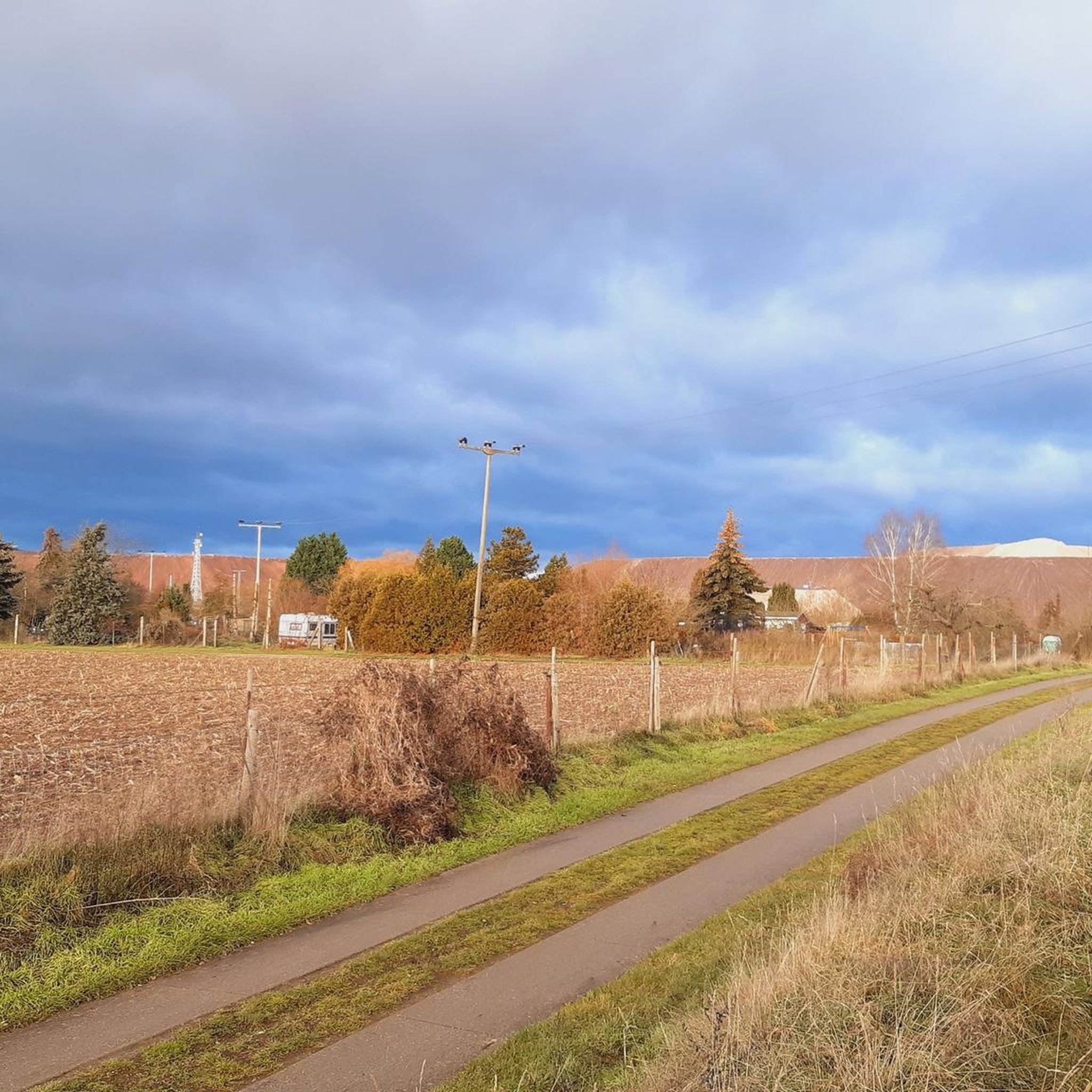
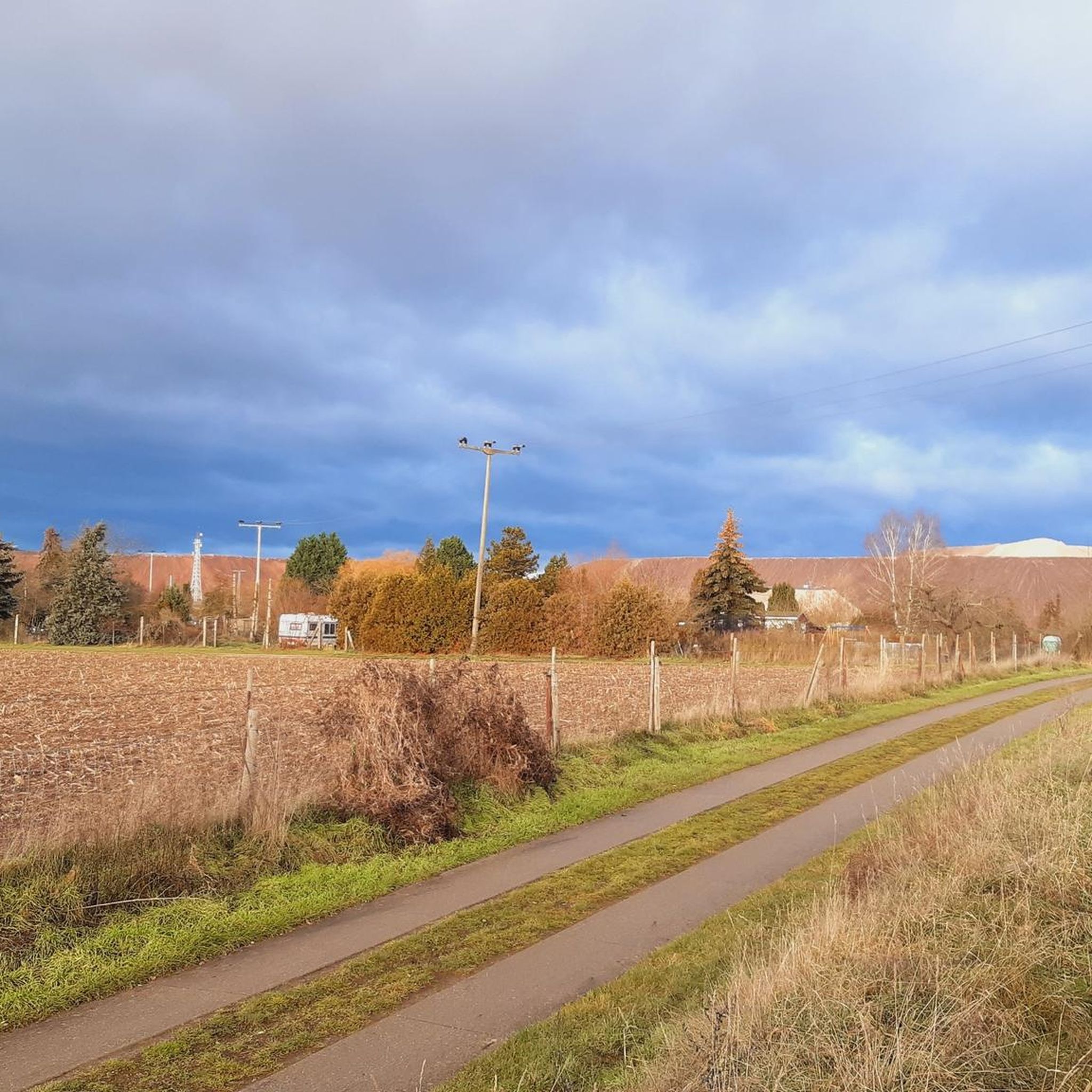
Well-paved roadside cycle path between Wolmirstedt and Glindenberg next to the county road
1
0
Quiet county road between Angern and Colbitz with good asphalt
0
0
Hall church, core from the 16th century. Square west tower with pointed roof
0
0
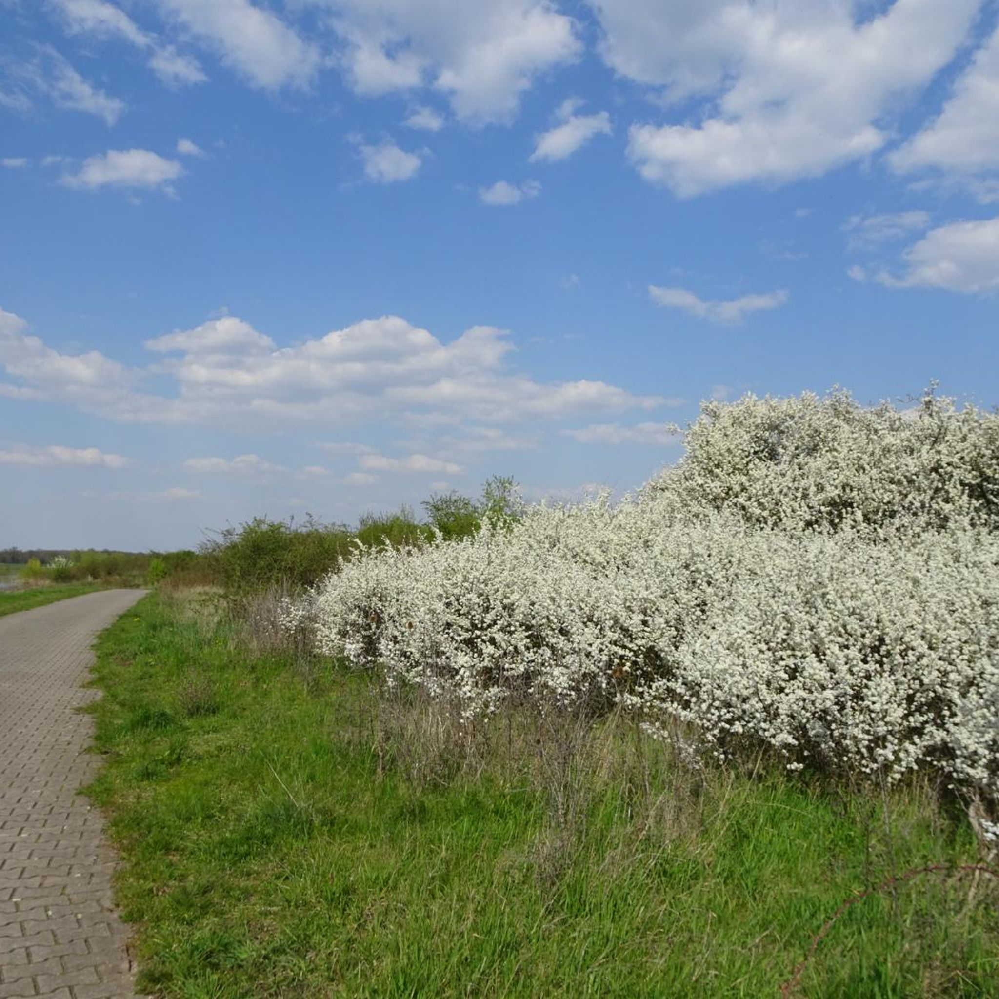
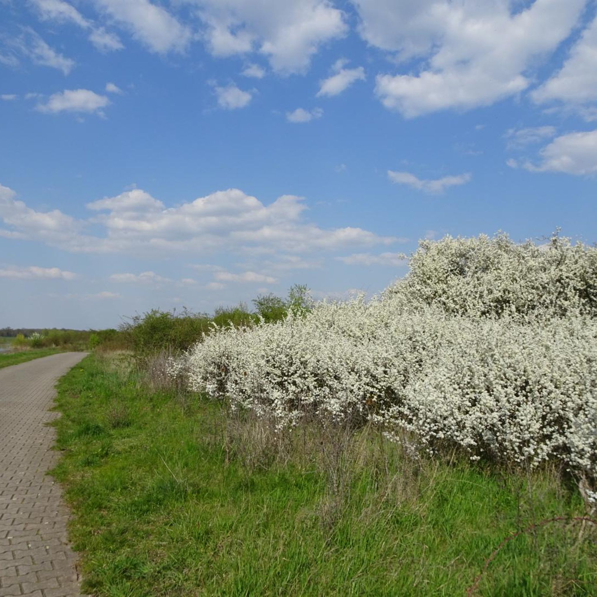
Quiet county road between Wenddorf and Angern even on weekdays. Asphalt bumpy and uneven, especially in the edge area
0
0
Frequently Asked Questions
How many road cycling routes are available in Rogätzer Hang - Ohremündung?
The Rogätzer Hang - Ohremündung region offers a wide selection of road cycling routes, with over 90 tours available. These include 24 easy routes, 66 moderate routes, and 1 more challenging option, catering to various fitness levels.
What kind of terrain can I expect when road cycling in Rogätzer Hang - Ohremündung?
You can expect a diverse landscape shaped by the confluence of the Ohre and Elbe rivers. Routes often follow tranquil riverbanks through extensive floodplains, moist meadows, and remnants of alluvial forests. A notable feature is the Rogätzer Hang, an approximately 30-meter high steep slope, which provides engaging elevation changes for some routes, contrasting with the generally flatter riverine paths.
Are there road cycling routes suitable for beginners or families in Rogätzer Hang - Ohremündung?
Yes, the region is well-suited for beginners and families, offering 24 easy routes. These typically feature well-paved surfaces and less elevation gain, making them enjoyable for all fitness levels. An example is the Rogätz Elbe Ferry – St. Mauritius Church in Angern loop from Rogätz, an easy 9.1-mile route through the riverine landscape.
Are there challenging road cycling routes with significant elevation gain in the area?
While many routes are easy to moderate, the presence of the Rogätzer Hang, a 30-meter high steep slope, introduces opportunities for routes with more elevation gain. There is one route classified as difficult, and 66 moderate routes that incorporate some ascents, providing options for cyclists seeking a greater challenge.
What natural features or landmarks can I see along the road cycling routes?
Road cycling routes in Rogätzer Hang - Ohremündung offer views of the dynamic riverine landscape at the confluence of the Ohre and Elbe rivers, including floodplains, moist meadows, and oxbow lakes. You'll also pass through remnants of diverse alluvial forests, featuring softwoods like willows and hardwoods such as elm and ash. The prominent Rogätzer Hang steep slope is another distinctive geological feature.
What makes road cycling in Rogätzer Hang - Ohremündung unique?
The uniqueness stems from its status as a nature reserve (NSG 0015) and part of the 'Elbaue südlich Rogätz mit Ohremündung' FFH area and 'Elbaue Jerichow' EU bird sanctuary. This protected status ensures a ride through a biodiverse environment with rich flora and fauna, set against the backdrop of the Elbe and Ohre river confluence, varied floodplain ecosystems, and the distinctive Rogätzer Hang.
Where can I find parking for road cycling routes in Rogätzer Hang - Ohremündung?
While specific parking areas are not detailed in the route descriptions, Rogätz itself serves as a common starting point for many tours. Look for designated parking facilities within or on the outskirts of Rogätz, especially near popular access points to the Elbe Cycle Path or the nature reserve.
Is public transport available to reach the cycling routes in Rogätzer Hang - Ohremündung?
Rogätz, being a central point for many routes, is likely accessible by public transport, though specific connections for cyclists are not detailed. It's advisable to check local bus or train schedules to Rogätz for options to bring your bike, as this can provide convenient access to the starting points of various routes.
Are there any circular road cycling routes in the area?
Yes, many of the road cycling routes in Rogätzer Hang - Ohremündung are designed as loops, allowing you to start and end in the same location. Examples include the Rogätz Elbe Ferry – Kalimandscharo Zielitz loop from Rogätz and the Kalimandscharo Zielitz – Beautiful Forest Section loop from Rogätz, both offering convenient circular journeys.
Are dogs allowed on the road cycling routes in Rogätzer Hang - Ohremündung?
As Rogätzer Hang - Ohremündung is a nature reserve, specific regulations regarding dogs may apply, especially concerning leash requirements and restricted areas to protect wildlife. While cycling with dogs is generally possible on public paths, it's always best to check local signage or official nature reserve guidelines to ensure compliance and respect for the protected environment.
What is the best time of year for road cycling in Rogätzer Hang - Ohremündung?
The region's riverine and floodplain landscapes are particularly beautiful during spring and early summer when nature is in full bloom, and in autumn with vibrant foliage. However, due to the floodplains, it's wise to check local conditions after heavy rainfall, especially in spring, as some areas might be affected by high water. Generally, late spring to early autumn offers the most pleasant cycling conditions.
What do other road cyclists enjoy the most about road cycling in Rogätzer Hang - Ohremündung?
The area is highly rated by the komoot community, with an average score of 4.3 stars from over 120 reviews. Reviewers often praise the varied scenery, from tranquil river views to forested sections, and the well-maintained paths that cater to different skill levels. The combination of natural beauty and diverse terrain makes it a popular choice.
Most popular routes in Rogätzer Hang - Ohremündung

Get inspired with the komoot mobile app


Explore more
Browse the best Road cycling routes in other regions.
