The best walks and hikes in Tanger-Elbeniederung
4.6
(597)
2,682
hikers
221
hikes
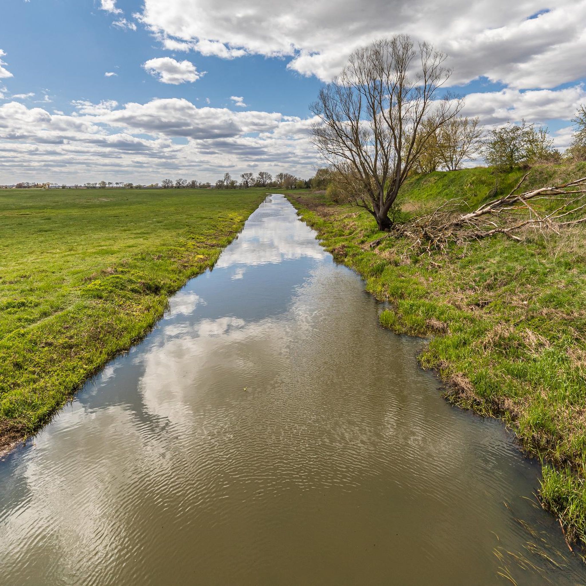
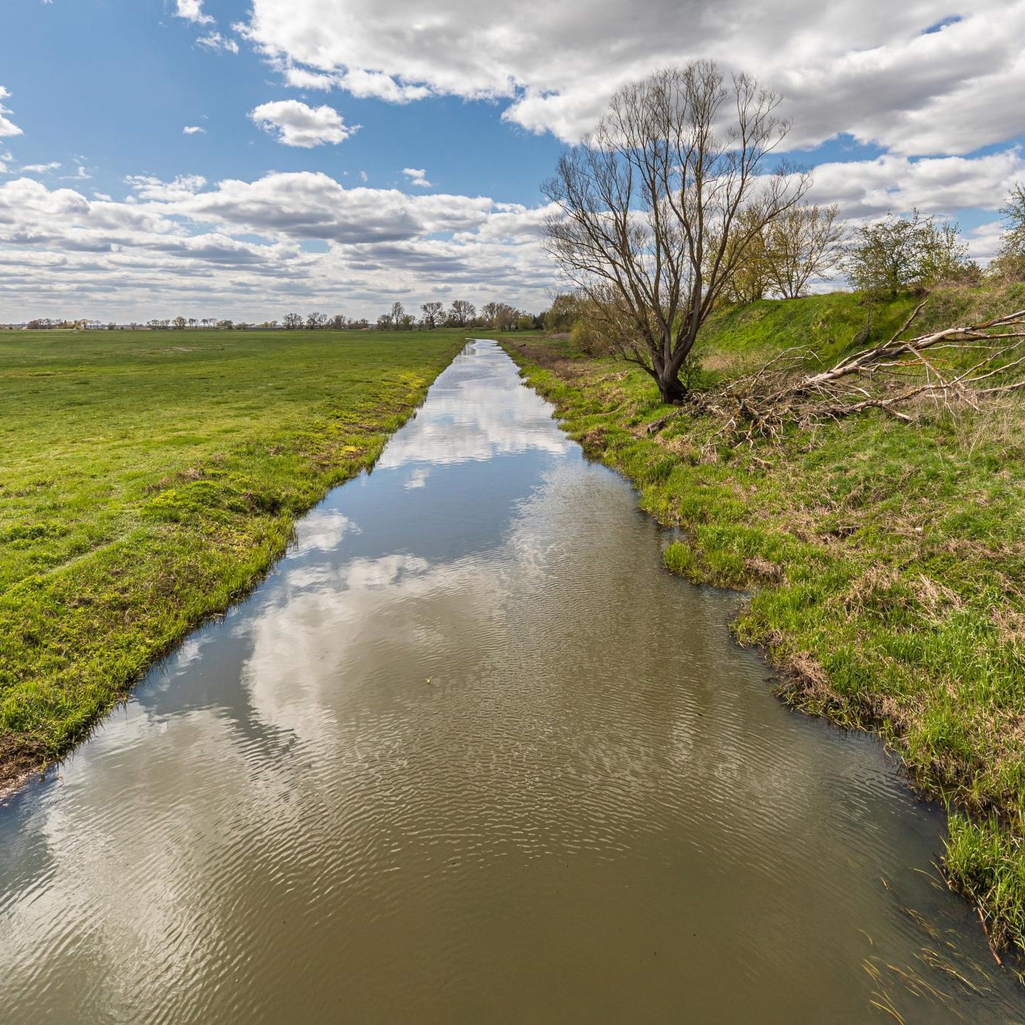
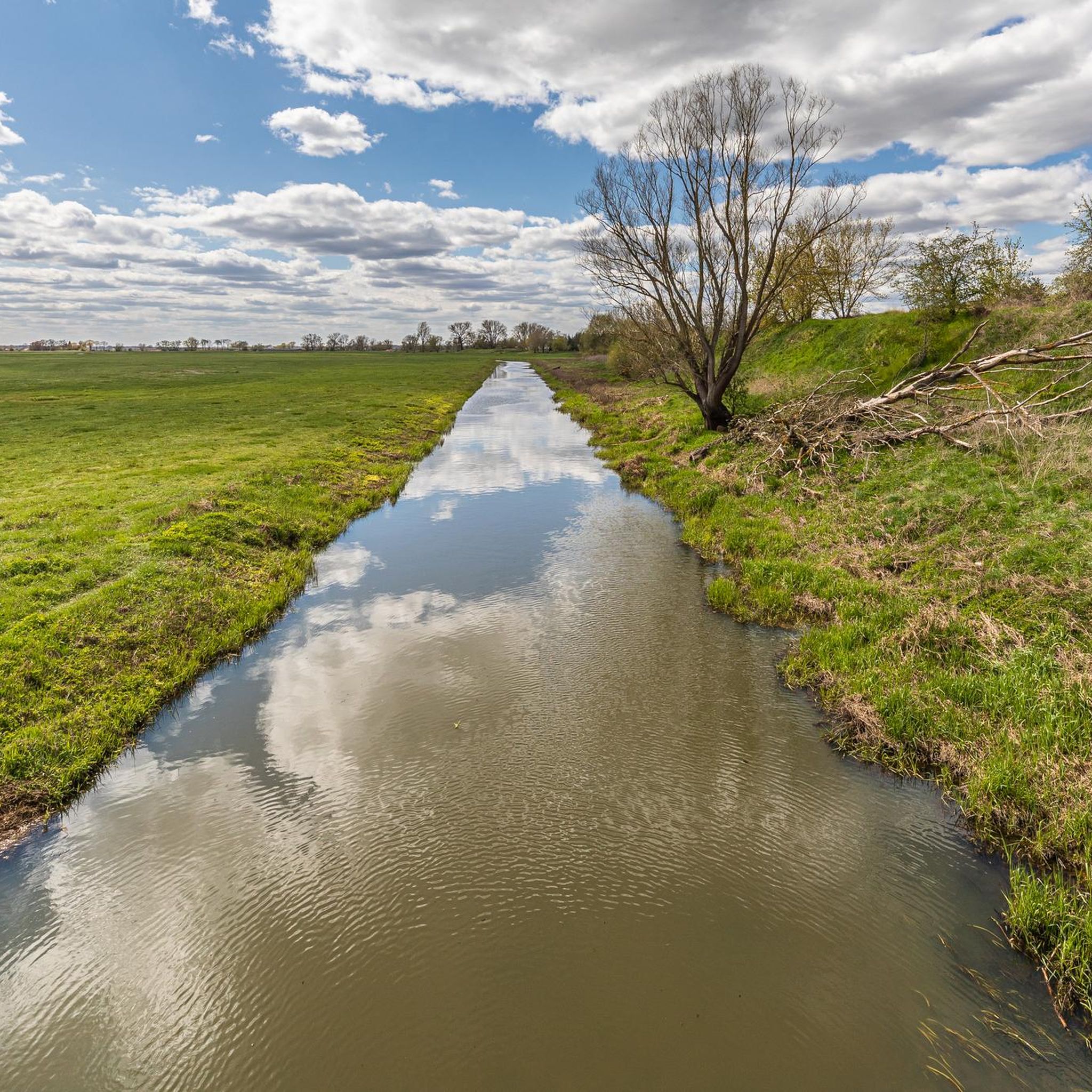
Hiking in Tanger-Elbeniederung offers accessible paths through the Elbe lowlands, characterized by gentle terrain and minimal elevation changes. The region features a mix of natural riverside scenery and historic townscapes, particularly around Tangermünde. Trails often incorporate views of the Elbe River and historical architecture, making them suitable for a range of fitness levels. The landscape is generally flat, providing easy walking conditions.
Best hiking trails in Tanger-Elbeniederung
- The most popular hiking route is Old town wall in Tangermünde – Tangermünde…
Last updated: July 10, 2026
4.3
(26)
116
hikers
Moderate hike. Good fitness required. Easily-accessible paths. Suitable for all skill levels.
3.5
(6)
62
hikers
Easy hike. Great for any fitness level. Easily-accessible paths. Suitable for all skill levels.

Sign up for free
5.0
(3)
11
hikers
6.27km
01:35
10m
10m
Easy hike. Great for any fitness level. Easily-accessible paths. Suitable for all skill levels.
4.8
(4)
13
hikers
7.15km
01:48
10m
10m
Easy hike. Great for any fitness level. Easily-accessible paths. Suitable for all skill levels.
5.0
(2)
5
hikers
6.75km
01:42
10m
10m
Easy hike. Great for any fitness level. Easily-accessible paths. Suitable for all skill levels.
Get access to more routes and recommendations from other explorers.
Sign up for free
Already have an account?
Our route recommendations are based on thousands of hikes, rides, and runs completed by other people on komoot.
Start today with a free account
Your next adventure awaits.
Login or Signup

Tips from the Community

The warehouse is a very tall building on the harbor basin.
1
0
The towers are easily accessible from outside the wall and are well signposted.
3
0

The Rosspforte is located at the Elbe Gate and, together with the Rossfurt, formed the only access road from the Elbe into the town of Tangermünde for a long time. The Rossfurt is a 100-meter-long hollow way. The Elbe Gate once had a portcullis, the niches of which are still recognizable today, and features faithful replicas of the gate wings and the Elbe's water level marks. In 2013, it reached its highest level to date at 8.38 meters. Source: https://www.blutana.de/sehenswuerdigkeiten/Rosspforte-Tangermuende-2155.html
1
0
The Marktstraße leads on to the Putinnen. These are two towers, standing about 30 meters apart on the city wall. They protect a small staircase that serves as access to the river. The people of Tangermünde frequently relied on the water of the Tanger. For instance, in the 18th century, the city had only 12 wells, which could sometimes barely supply the necessary drinking water. The eastern tower served as a citizens' jail for a time. The already mentioned staircase leads through the western tower. Both towers were built around 1470. Source: https://www.portalsaeule.de/index.php?cat=Mauern%2C%20Tore%20und%20T%C3%BCrme%2FStadtbefestigungen%20in%20Deutschland&page=Tangerm%C3%BCnde_2
3
0
In 1941, Elblagerhaus GmbH had a grain silo with a capacity of 10,000 tons built at the harbor to store grain, legumes, and oilseeds. Even today, the facility is a widely visible, attractive ensemble.
1
0
This staircase leads up to the town. It was built over with a defensive tower and was an important way down to the river. The Steigberg is another, later breached, defensive tower, in front of which a small bastion (fortress rondel) was once located. This is still recognizable today as an earth mound. This bastion, in turn, protected the nearby Rossfurt in case of an attack. The town wall at the Steigberg is a popular photo motif, as the small town houses are located here like swallows' nests above the wall crown. Source: https://www.tangermuende.info/sightseeing.html
1
0

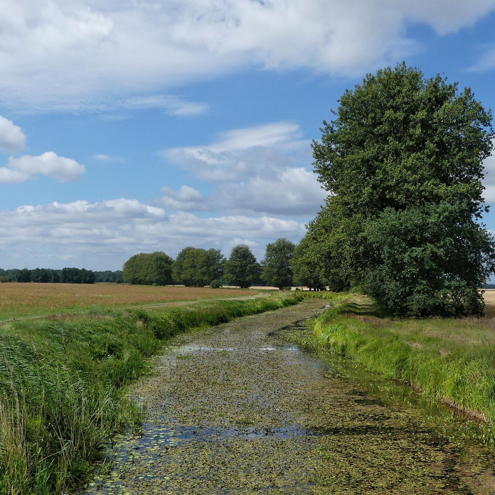
A great spot in the middle of nature! 🤗
0
0

The rectangular tower was built around 1300. The round tower and central section were built around 1450 and flank a pointed-arch passageway. The round tower features a projecting battlement. The more elaborate design of the round tower, the central section, and the top of the rectangular structure corresponds to the construction period around 1450 and was probably initiated by Stephan Buxtehude, to whom the Uenglinger Gate in Stendal and the Elbe Gate in Werben are attributed. The round tower is decorated with glazed bricks arranged in spiral or zigzag patterns, a molded stone frieze depicting the head of Medusa, and varied blind decorations. The plaster blinds above the gate passage bear coats of arms painted in 1897: Prussian Eagle, Imperial Eagle with the applied Hohenzollern Shield, Tangermünde Eagle, Eagle of the Holy Roman Empire of the German Nation, Brandenburg Eagle. Source: Wikipedia
8
1
Frequently Asked Questions
How many hiking trails are available in Tanger-Elbeniederung?
There are over 220 hiking routes in Tanger-Elbeniederung. This includes a wide range of options, with more than 120 easy trails, around 85 moderate routes, and a few more challenging paths.
What kind of landscapes can I expect to see while hiking in Tanger-Elbeniederung?
The Tanger-Elbeniederung region is characterized by the Elbe lowlands, offering easily accessible paths with minimal elevation changes. You'll find a mix of natural riverside scenery, open rural landscapes, and historic townscapes, particularly around Tangermünde. Many trails feature views of the Elbe River and historical architecture.
Are there family-friendly hiking options in Tanger-Elbeniederung?
Yes, the region is well-suited for families. Many trails are categorized as easy to moderate with minimal elevation gain, making them suitable for various fitness levels, including children. Routes often incorporate historic towns or scenic river paths that can be engaging for all ages.
Are there any circular hiking routes in Tanger-Elbeniederung?
Yes, many of the trails in Tanger-Elbeniederung are designed as circular routes, allowing you to start and end at the same point. For example, the Tangermünde Town Hall – Old town wall in Tangermünde loop from Tangermünde is an easy circular path exploring the historic center.
What do other hikers say about the trails in Tanger-Elbeniederung?
The trails in Tanger-Elbeniederung are highly rated by the komoot community, with an average score of 4.6 stars from over 580 reviews. Hikers often praise the accessible paths, the blend of natural beauty with historical sights, and the well-maintained routes.
Are there trails that offer historical sights or landmarks?
Absolutely. Several hiking routes incorporate the historic town of Tangermünde, allowing you to explore its old town wall, the Tangermünde Town Hall, and the Putinnen Towers. You can also find trails with distant views of the Jerichow Monastery. Consider the Old town wall in Tangermünde – Putinnen Towers, Tangermünde loop from Tangermünde for a historical walk.
What are some good viewpoints or natural features to look out for?
The region offers several scenic spots. You can enjoy views of the Elbe River along many paths. Specific highlights include the Tangermünde Harbor and View of the Old Town, and the Bölsdorfer Haken Nature Observation Tower for expansive natural vistas.
Can I bring my dog on the hiking trails in Tanger-Elbeniederung?
Generally, dogs are welcome on most hiking trails in Tanger-Elbeniederung. It's always recommended to keep your dog on a leash, especially in nature protection areas or near livestock, and to be mindful of other hikers and wildlife.
Is parking available near the trailheads?
Parking is typically available in or near the towns and villages that serve as starting points for hikes, such as Tangermünde or Bölsdorf. Specific parking information can often be found on individual route descriptions on komoot.
What is the typical duration of hikes in this region?
Hikes in Tanger-Elbeniederung vary in duration. Many easy strolls can be completed within 1 to 2 hours, while moderate routes might take 2 to 3 hours. For example, the Old town wall in Tangermünde – Tangermünde Town Hall loop from Wiesenhaus takes about 2 hours and 6 minutes.
Are there any easy hikes suitable for beginners?
Yes, Tanger-Elbeniederung has many easy hikes perfect for beginners. The terrain is generally flat with minimal elevation, making it accessible. An excellent option is the View of Jerichow Monastery – Bölsdorfer Haken loop from Bölsdorf, which is an easy route offering scenic views.
How can I get to the hiking trails using public transport?
While specific public transport options vary by trailhead, major towns like Tangermünde are generally accessible by regional buses or trains. It's advisable to check local public transport schedules for connections to your chosen starting point before your hike.
Most popular routes in Tanger-Elbeniederung
Most popular attractions in Tanger-Elbeniederung

Get inspired with the komoot mobile app


Explore more
Browse the best Hikes in other regions.
