The best walks and hikes in Stadthavel
4.5
(2125)
8,776
hikers
612
hikes
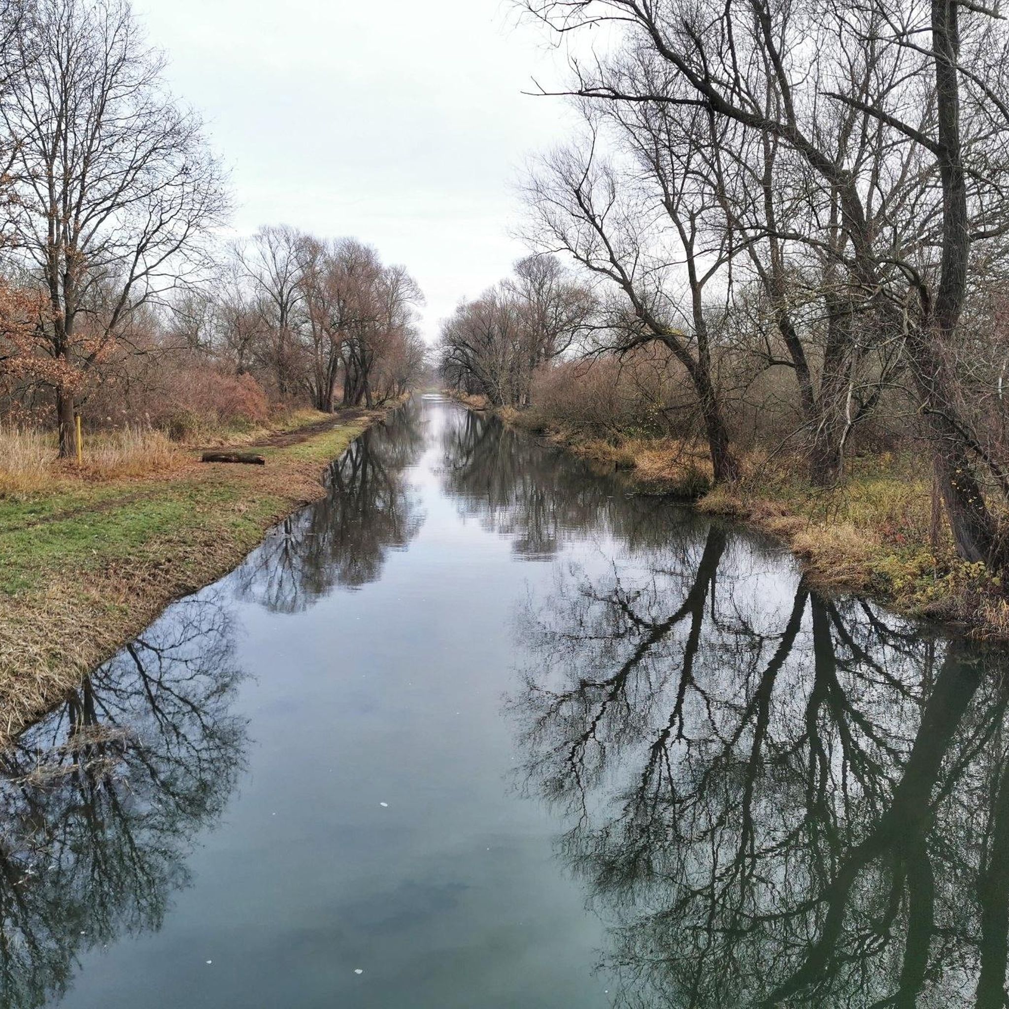
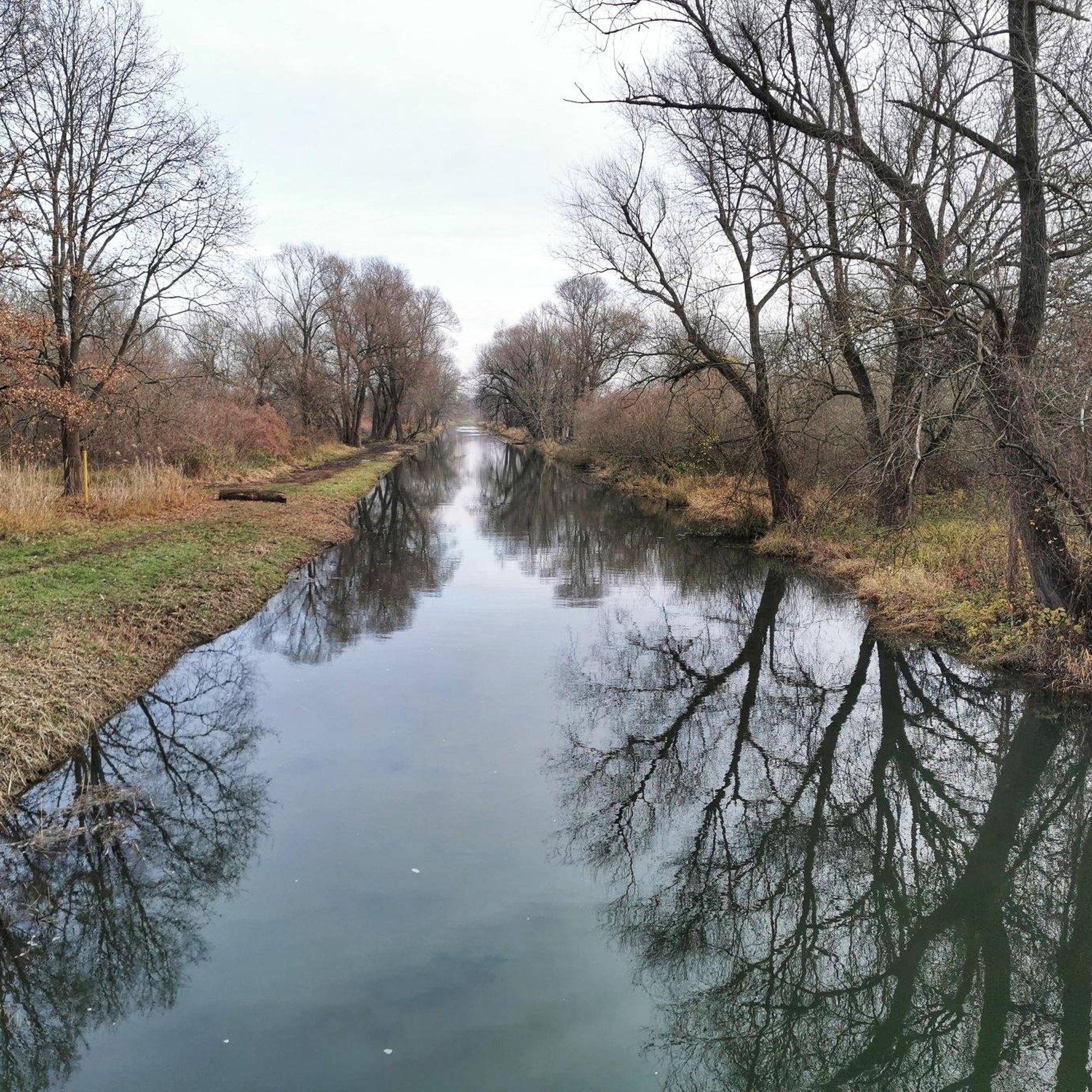
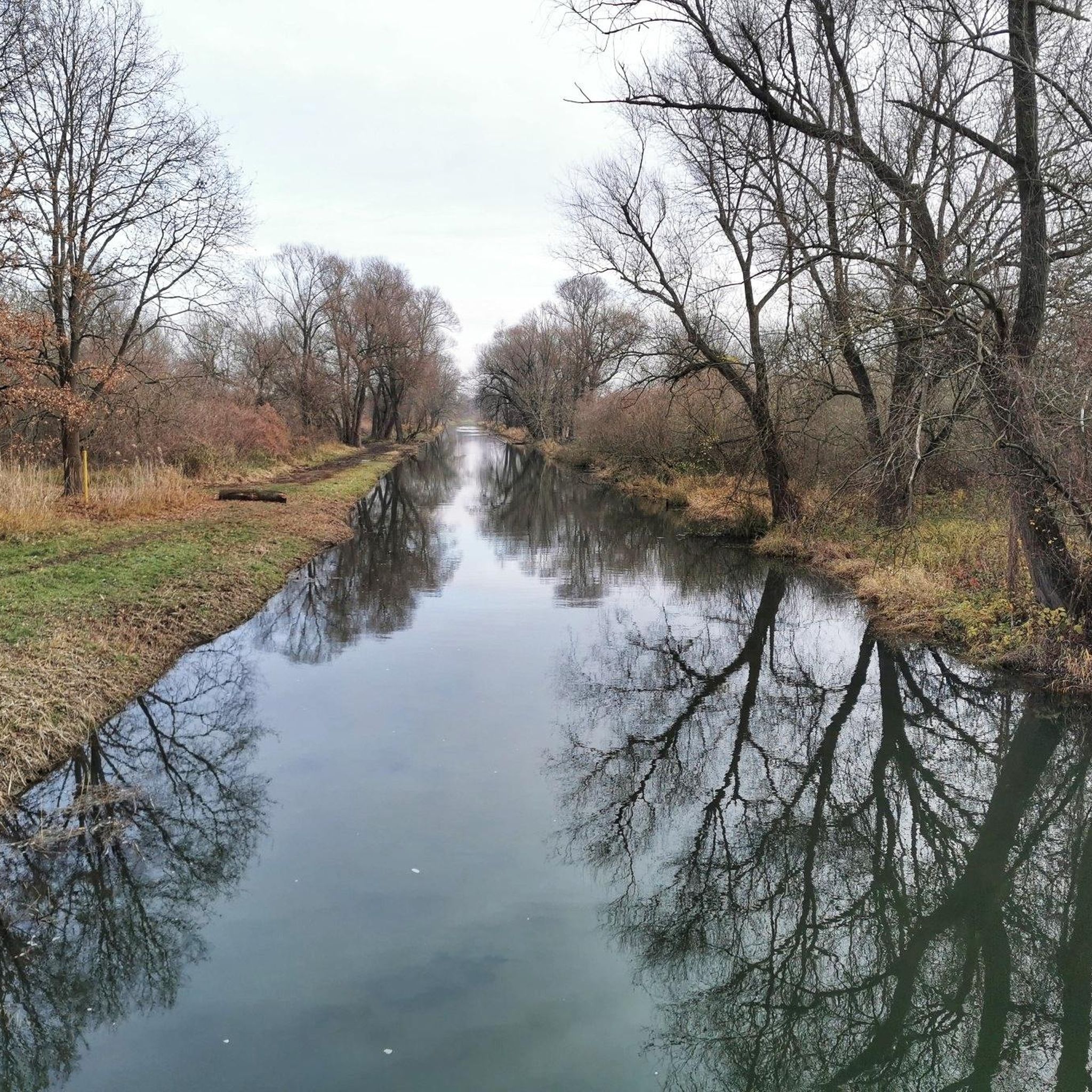
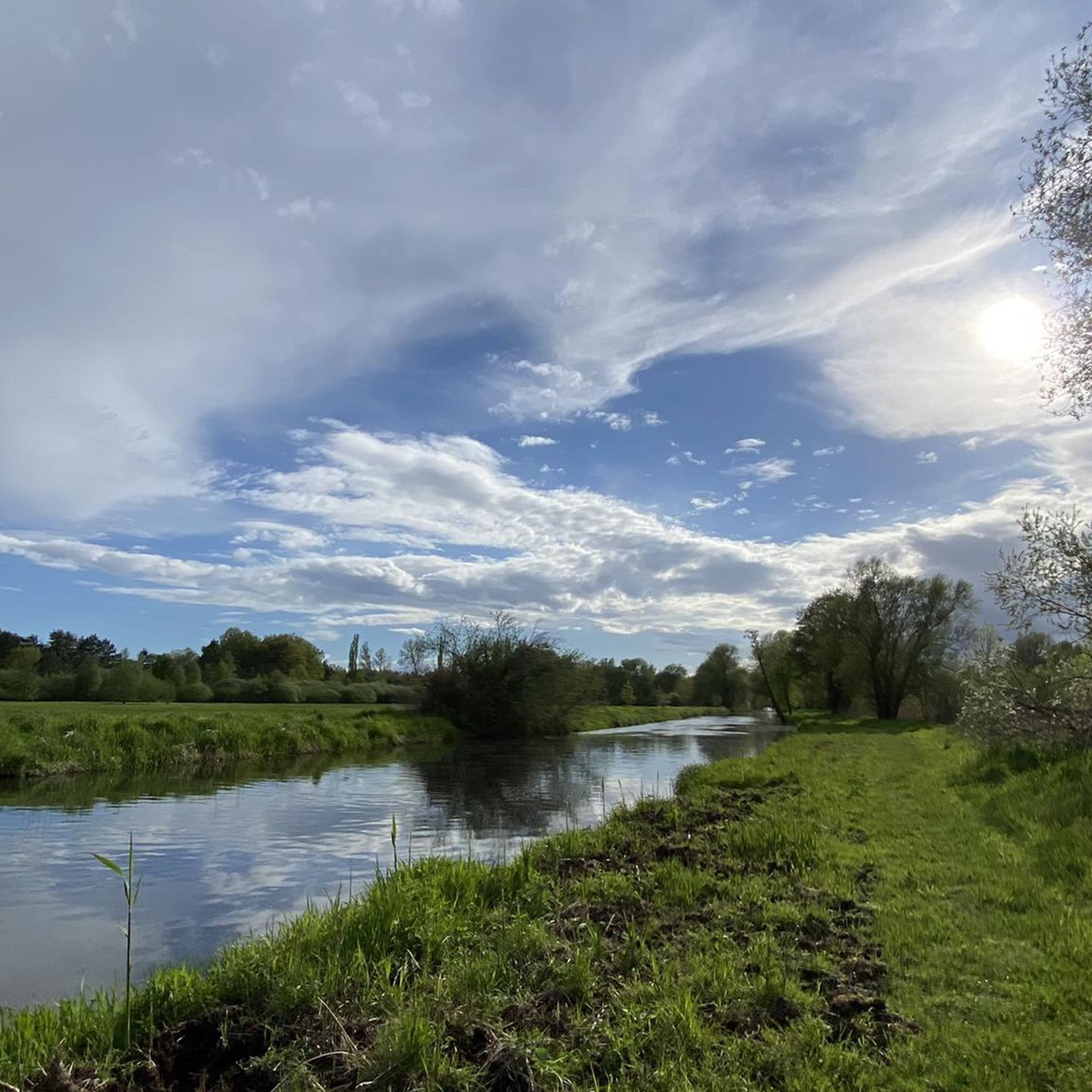
Hiking in Stadthavel offers a network of trails within a natural park setting in Brandenburg an der Havel. The region is characterized by its numerous lakes and rivers, including Breitlingsee, Plane River, and Möserscher See, which define much of the hiking terrain. Trails often follow riverside paths and loop around water bodies, providing varied scenery with minimal elevation gain. The landscape is generally flat, making it accessible for a range of hiking abilities.
Best hiking trails in Stadthavel
- The most…
Last updated: October 13, 2026
4.5
(47)
122
hikers
Moderate hike. Good fitness required. Easily-accessible paths. Suitable for all skill levels.
4.6
(8)
19
hikers
Hard hike. Very good fitness required. Easily-accessible paths. Suitable for all skill levels.

4.2
(6)
19
hikers
Easy hike. Great for any fitness level. Easily-accessible paths. Suitable for all skill levels.
4.6
(10)
38
hikers
Moderate hike. Good fitness required. Easily-accessible paths. Suitable for all skill levels.
5.0
(2)
2
hikers
Easy hike. Great for any fitness level. Easily-accessible paths. Suitable for all skill levels.
Get access to more routes and recommendations from other explorers.
Already have an account?
Our route recommendations are based on thousands of hikes, rides, and runs completed by other people on komoot.
Start today with a free account
Your next adventure awaits.
Tips from the Community

Apparently, an old industrial complex has been converted here. Looks like a hotel. Very nice, made something new out of the old.
0
0


Beautiful rest area, unfortunately completely littered (bottles of all colors, diapers, and other rubbish), disrespectful to nature and others!
0
0

Cute and pretty idea, how the allotment gardener's favorite, even after being banished from the rose beds, brings lasting joy
1
0

A small dwarf in the fork of a tree with a hiking trail marker watches the passersby.
0
0
Frequently Asked Questions
How many hiking trails are available in Stadthavel?
Stadthavel offers a comprehensive network of over 600 hiking routes. These trails cater to various preferences, with more than 420 easy routes, 170 moderate options, and around 25 more challenging paths.
What is the typical terrain like for hiking in Stadthavel?
The terrain in Stadthavel is generally flat, characterized by numerous lakes and rivers such as Breitlingsee, Plane River, and Möserscher See. Most trails follow riverside paths and loop around these water bodies, offering varied scenery with minimal elevation gain. This makes the landscape accessible for a wide range of hiking abilities.
Are there any easy hikes suitable for beginners in Stadthavel?
Yes, Stadthavel is well-suited for beginners, with over 420 easy routes. A great option is the Plane River at Buhnenhaus – Swimming spot at Breitlingsee loop from Stadthavel. This easy 3.7-mile (5.9 km) path offers a pleasant walk along the Plane River, connecting to the Breitlingsee.
Can I find circular hiking routes in Stadthavel?
Many of Stadthavel's hiking routes are designed as loops, allowing you to start and end at the same point. For example, the popular Swimming spot at Breitlingsee – Buckau Riverside Trail loop from Stadthavel is a moderate 7.0-mile (11.3 km) circular trail featuring riverside views. Another option is the longer Swimming spot at Breitlingsee – Picnic Area at Möserscher See loop from Stadthavel, which is a 15.9-mile (25.6 km) loop through lakes and picnic areas.
Are Stadthavel's hiking trails suitable for families with children?
Given the generally flat terrain and numerous easy routes, many of Stadthavel's trails are suitable for families. The presence of lakes and rivers provides engaging scenery, and shorter loop trails can be ideal for walks with children. Look for routes marked as 'easy' for the most family-friendly options.
Are dogs allowed on the hiking trails in Stadthavel?
While specific regulations can vary, dogs are generally welcome on trails in natural park settings like Stadthavel, often requiring them to be kept on a leash. It's always advisable to check local signage or specific tour descriptions for any restrictions on individual routes.
What natural features or landmarks can I expect to see along the trails?
Hiking in Stadthavel is defined by its natural park environment, with prominent features including the Breitlingsee, Plane River, and Möserscher See. You might encounter various river views, such as the View of the River Plane, and riverside paths like the Riverside Path Along the Plane. There are also several ferries, such as the Neuendorf Cable Ferry and Neuendorf Ferry, which are interesting points of interest.
Is there parking available near the trailheads in Stadthavel?
While specific parking information for every trailhead isn't detailed, as a popular hiking destination within a natural park, you can generally expect designated parking areas at common starting points or access points to the trails. It's recommended to check maps or local information for specific parking facilities before your hike.
What is the best time of year to go hiking in Stadthavel?
The best time for hiking in Stadthavel is typically from spring through autumn, when the weather is mild and the natural scenery around the lakes and rivers is at its most vibrant. The flat terrain also makes it enjoyable during these seasons, avoiding potential winter conditions.
What do other hikers say about their experience in Stadthavel?
The hiking routes in Stadthavel are highly rated by the komoot community, with an impressive average score of 4.5 stars from over 1700 reviews. Hikers often praise the beautiful riverside paths, the serene lake loops, and the overall accessibility of the natural park environment.
Are there opportunities for wild swimming near the hiking trails?
Yes, the guide data frequently mentions 'swimming spots at Breitlingsee' along several routes, indicating opportunities for a refreshing dip. For example, the Swimming Spots at Breitlingsee – View of the River Plane loop from Stadthavel directly leads to such areas, allowing you to combine your hike with a swim.
Are there any longer, more challenging hikes in Stadthavel?
While much of Stadthavel's terrain is flat, there are longer routes that offer a more challenging experience due to their distance. The Swimming spot at Breitlingsee – Picnic Area at Möserscher See loop from Stadthavel is a difficult 15.9-mile (25.6 km) trail that takes approximately 6 hours 29 minutes to complete, providing a substantial day hike.
Most popular routes in Stadthavel
Most popular attractions in Stadthavel

Get inspired with the komoot mobile app


Explore more
Browse the best Hikes in other regions.
