The best MTB trails in Lsg Jungfernheide
4.6
(1079)
4,240
riders
312
rides
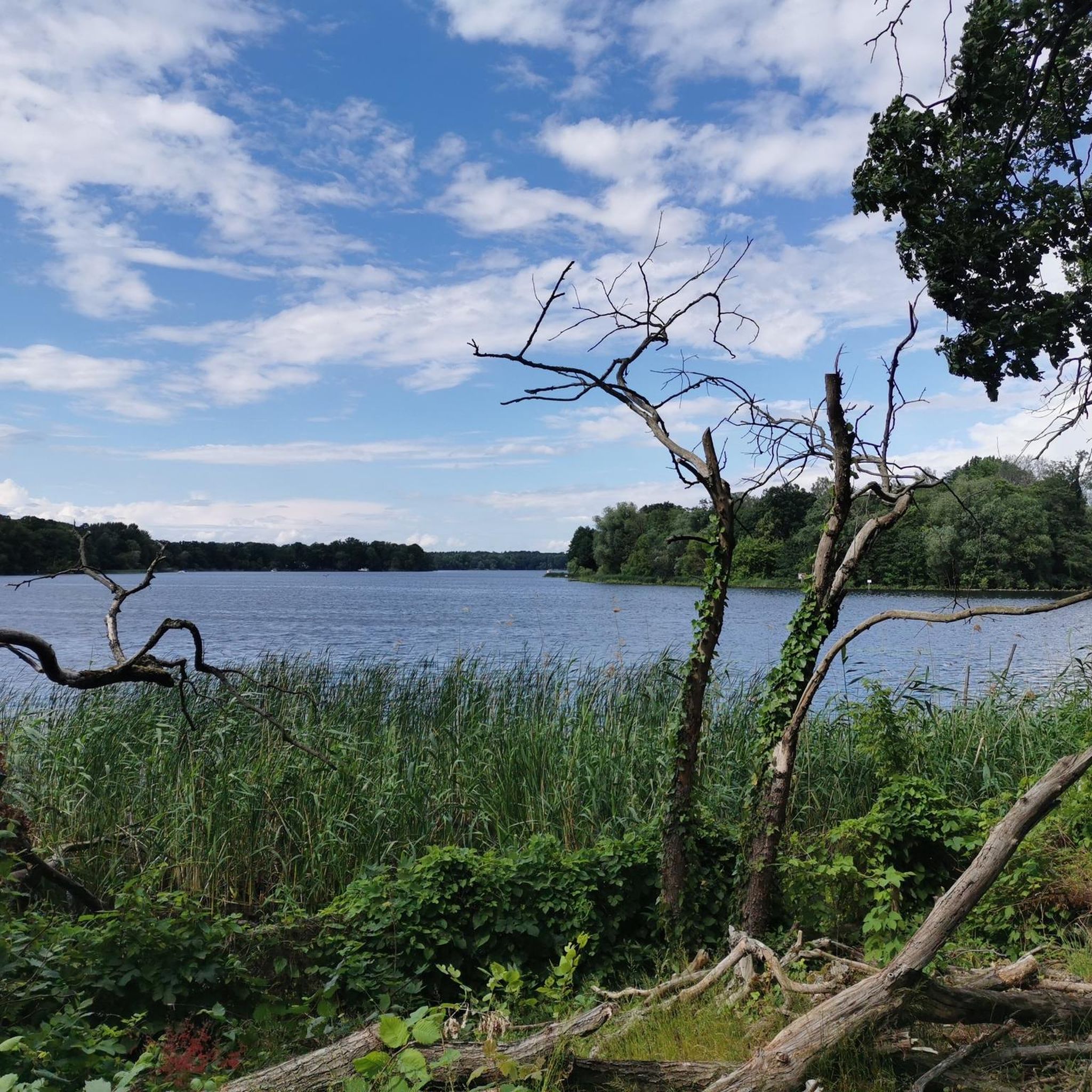
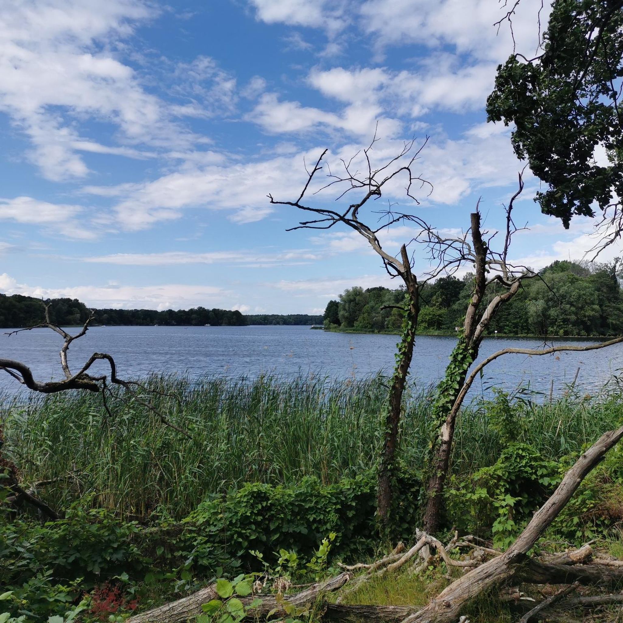
Mountain biking in Lsg Jungfernheide, Berlin, offers diverse landscapes within its 144-hectare mixed forest, featuring a variety of trees like beech, birch, and oak. The park includes a tranquil pond and paths along the Spandauer-Berlin canal, connecting to Tegeler See. While the terrain is generally flat, specific mountain bike routes incorporate varying elevations. This protected landscape area provides a natural environment for outdoor activities.
Best mountain bike trails in Lsg Jungfernheide
- The most popular mountain bike trail is View of…
Last updated: July 6, 2026
17
riders
41.8km
02:16
100m
100m
Moderate mountain bike ride. Good fitness required. Suitable for all skill levels.
4.0
(2)
8
riders
11.5km
00:47
40m
40m
Easy mountain bike ride. Great for any fitness level. Suitable for all skill levels.

Sign up for free
5.0
(1)
2
riders
34.9km
02:15
130m
130m
Moderate mountain bike ride. Good fitness required. Advanced riding skills necessary.
4.9
(22)
75
riders
Moderate mountain bike ride. Good fitness required. Advanced riding skills necessary.
4.3
(6)
39
riders
24.3km
01:22
70m
70m
Easy mountain bike ride. Great for any fitness level. Suitable for all skill levels.
Get access to more routes and recommendations from other explorers.
Sign up for free
Already have an account?
Our route recommendations are based on thousands of hikes, rides, and runs completed by other people on komoot.
Start today with a free account
Your next adventure awaits.
Login or Signup
Tips from the Community

Small, cute café with delicious cakes and pastries.
0
0


I can't even remember that anymore
0
0

Ehrenprortenberg in the Tegel Forest There's even a second bench now. Unfortunately, the tree was knocked down by the severe storm "Ziros" at the end of June. So a path is blocked. The highest natural elevation in Reinickendorf. The summit is 69 meters high, no matter which direction you come from. ✔️
1
0

The bridge leads over the Tegeler Fließ into the forest with many hiking trails.
24
0
Very good bike path. ⚠️ Also the Berlin Water Company's factory road ❗️ Because: there are many deep wells in the area. 💁♂️Water protection area. Due to numerous blow-ups on the bike path,...... ➡️As of July 2, 2025, I can report that the asphalt has been repaired.
0
0

Drives reliably and cost-effectively
0
0

Great for kids and adults.
0
0
Frequently Asked Questions
How many mountain bike trails are available in Lsg Jungfernheide?
Lsg Jungfernheide offers a wide variety of mountain bike trails, with over 300 routes available. These range from easy paths suitable for beginners to more challenging trails for experienced riders.
What are the general terrain characteristics for mountain biking in Lsg Jungfernheide?
The terrain in Lsg Jungfernheide is characterized by its extensive 144-hectare mixed forest, featuring a variety of trees like beech, birch, and oak. While generally fairly flat, specific mountain bike routes incorporate varying elevations, offering a diverse riding experience. You'll find mainly wooded paths and trails, with some sections along the tranquil pond and the Spandauer-Berlin canal.
Are there mountain bike trails suitable for families or beginners?
Yes, Lsg Jungfernheide has plenty of options for families and beginners. There are 88 easy routes available, perfect for those looking for a relaxed ride. An example of an easy route is the Tegel Workers' Beach – Lake Tegel loop from Konradshöhe, which explores the area around Lake Tegel.
Are there any specific rules or permits required for mountain biking in Lsg Jungfernheide?
Lsg Jungfernheide is part of a protected landscape area. While specific permits for mountain biking are not generally required, riders are expected to respect the natural environment, stay on marked trails, and be mindful of other park users. The park also features a dedicated fenced dog meadow, so be aware of areas where dogs may be off-leash.
What kind of natural features or landmarks can I see along the mountain bike trails?
Along the mountain bike trails in Lsg Jungfernheide, you can encounter diverse natural features and landmarks. These include the tranquil pond, paths along the Spandauer-Berlin canal, and views of Tegeler See. Notable attractions include the Saatwinkel Beach, the Former Runway at Berlin Tegel Airport, and the Bicycle Lane Through Jungfernheide Forest. The historic 38-meter-high water tower is also a prominent landmark within the park.
What do other mountain bikers enjoy most about Lsg Jungfernheide?
The komoot community highly rates mountain biking in Lsg Jungfernheide, with an average score of 4.6 stars from over 1000 reviews. Riders often praise the diverse landscapes, the engaging wooded paths, and the variety of routes catering to different skill levels. The connection to natural features like the pond and canal also adds to the appeal.
Are there any challenging routes for advanced mountain bikers?
Yes, for advanced mountain bikers, Lsg Jungfernheide offers 49 difficult routes that demand advanced riding skills. These trails provide a more challenging experience within the park's diverse terrain.
Are there any loop trails for mountain biking in Lsg Jungfernheide?
Many of the mountain bike routes in Lsg Jungfernheide are designed as loops, allowing you to start and end at the same point. An example of a popular loop trail is the Green Belt Kopenhagener Straße – Köppchensee loop from Konradshöhe, which covers 41.5 km through varied landscapes.
What is the best season for mountain biking in Lsg Jungfernheide?
Lsg Jungfernheide is enjoyable for mountain biking throughout much of the year. The mixed forest provides shade in warmer months, and the wooded paths offer a scenic experience in autumn. While the terrain is generally flat, conditions can vary with weather, so checking current trail conditions is always recommended, especially after rain or during winter.
Are there places to eat or drink near the mountain bike trails?
Yes, Lsg Jungfernheide offers options for refreshments. The historic water tower features a café at its base, and a summer garden with a beach bar has been established around the water tower, providing a pleasant spot to relax and refuel after your ride.
How can I reach Lsg Jungfernheide by public transport for mountain biking?
Lsg Jungfernheide is well-connected within Berlin's public transport network, making it accessible for mountain bikers. You can plan your journey using local public transport services to reach various entry points around the park, allowing you to start your ride conveniently.
Are there any other outdoor activities or attractions in Lsg Jungfernheide besides mountain biking?
Beyond mountain biking, Lsg Jungfernheide offers a range of outdoor activities. You can visit the Waldhochseilgarten Jungfernheide (Forest High Ropes Course) for a climbing adventure, relax at the tranquil pond with beaches for swimming and stand-up paddling, or explore the large playgrounds and sunbathing lawns. The park also has an open-air theater and a fenced dog meadow.
Most popular routes in Lsg Jungfernheide
Most popular attractions in Lsg Jungfernheide

Get inspired with the komoot mobile app


Explore more
Browse the best MTB trails in other regions.
