The best walks and hikes in Rieselfelder Karolinenhöhe
4.5
(1072)
7,795
hikers
35
hikes
Hiking in Rieselfelder Karolinenhöhe offers routes through a unique landscape characterized by former sewage fields, nature reserves, and proximity to the Havel River. The terrain is generally flat, with minimal elevation changes, making it suitable for various activity levels. This area, part of Berlin, provides opportunities to explore wetlands and riverside paths.
Best hiking trails in Rieselfelder Karolinenhöhe
- The most popular hiking route is Breitenhorn bathing spot – Havel River view loop from Spandau, a 9.2 miles (14.8 km) moderate trail that takes 3 hours 48 minutes to complete. This route features views of the Havel River.
- Another top favourite among local hikers is Hahneberg Nature Reserve – Jaczoturm Gatow loop from Rieselfelder Karolinenhöhe, a moderate 7.7 miles (12.4 km) path. This trail explores the Hahneberg Nature Reserve and passes Jaczoturm Gatow.
- Local hikers also love the Gatow Post Mill – Havel Lakeside View loop from Rieselfelder Karolinenhöhe, a 7.1 miles (11.4 km) trail leading through areas near the Gatow Post Mill and offering Havel Lakeside Views, often completed in about 2 hours 56 minutes.
- Hiking in Rieselfelder Karolinenhöhe is defined by flat terrain, riverside paths along the Havel, and nature reserves. The network offers options for easy and moderate ability levels, with various Rieselfelder Karolinenhöhe loop hikes available.
- The routes in Rieselfelder Karolinenhöhe are highly rated by the komoot community with an average score of 4.6 stars from over 100 reviews. More than 500 hikers have used komoot to explore Rieselfelder Karolinenhöhe's varied terrain.
Last updated: July 4, 2026
4.7
(65)
272
hikers
14.8km
03:49
70m
70m
Moderate hike. Good fitness required. Easily-accessible paths. Suitable for all skill levels.
3.5
(4)
23
hikers
Moderate hike. Good fitness required. Easily-accessible paths. Suitable for all skill levels.

Sign up for free
5.0
(11)
25
hikers
Moderate hike. Good fitness required. Easily-accessible paths. Suitable for all skill levels.
5.0
(17)
27
hikers
7.08km
01:50
50m
50m
Easy hike. Great for any fitness level. Easily-accessible paths. Suitable for all skill levels.
4.0
(1)
12
hikers
Easy hike. Great for any fitness level. Easily-accessible paths. Suitable for all skill levels.
Get access to more routes and recommendations from other explorers.
Sign up for free
Already have an account?
Our route recommendations are based on thousands of hikes, rides, and runs completed by other people on komoot.
Start today with a free account
Your next adventure awaits.
Login or Signup
Tips from the Community

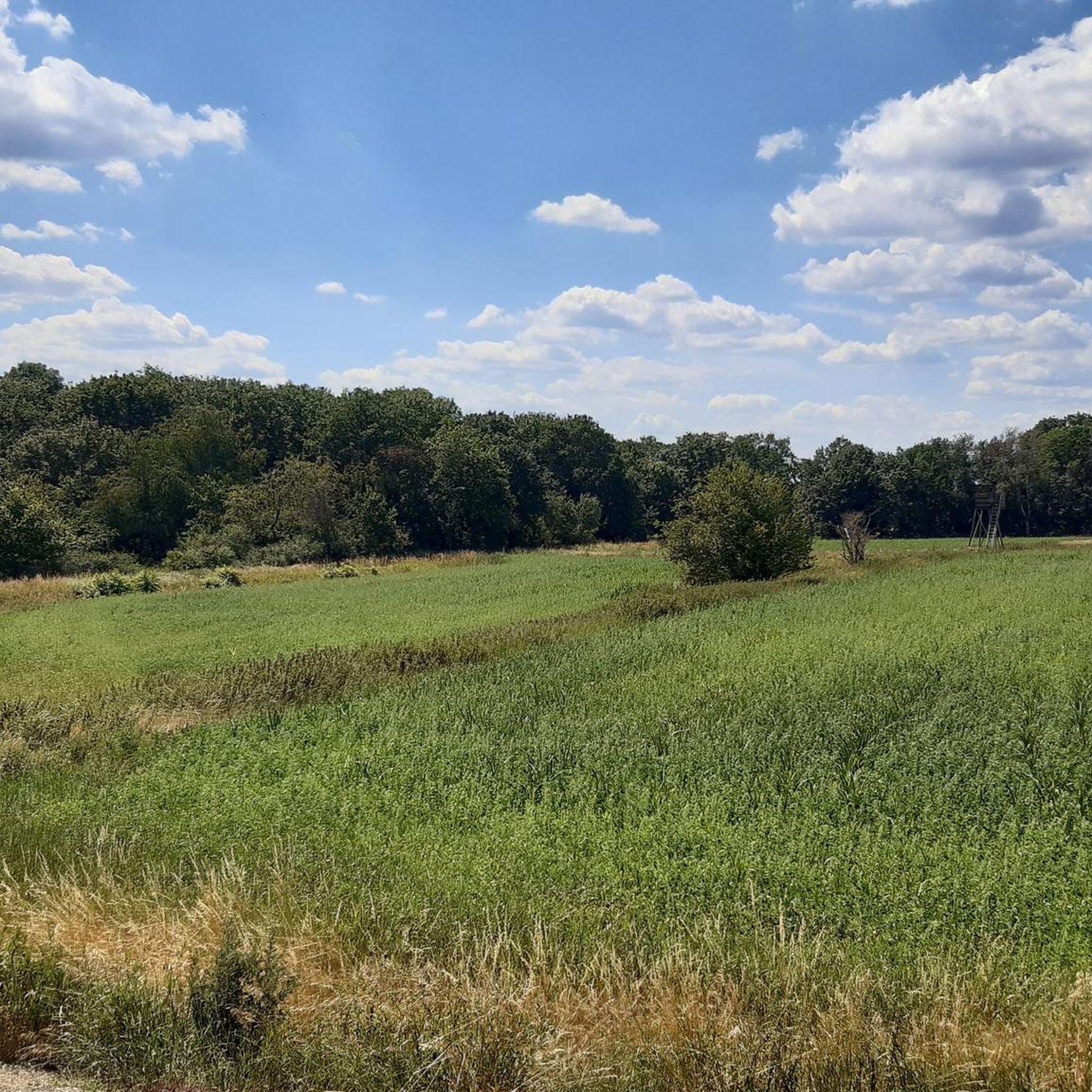
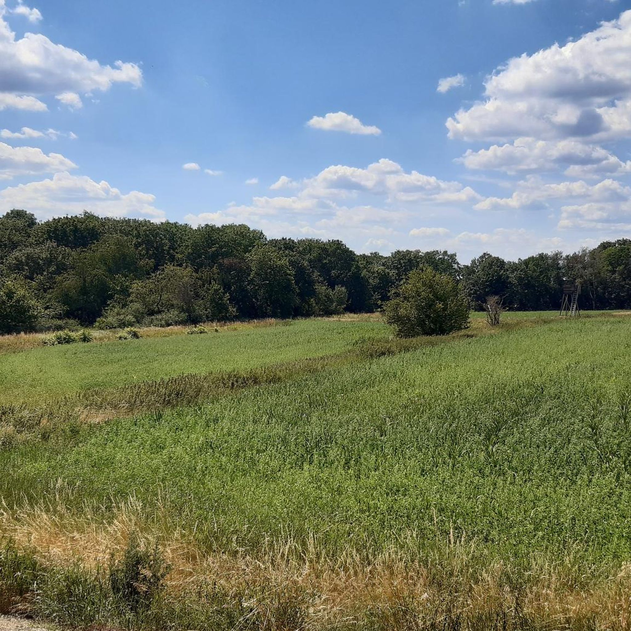
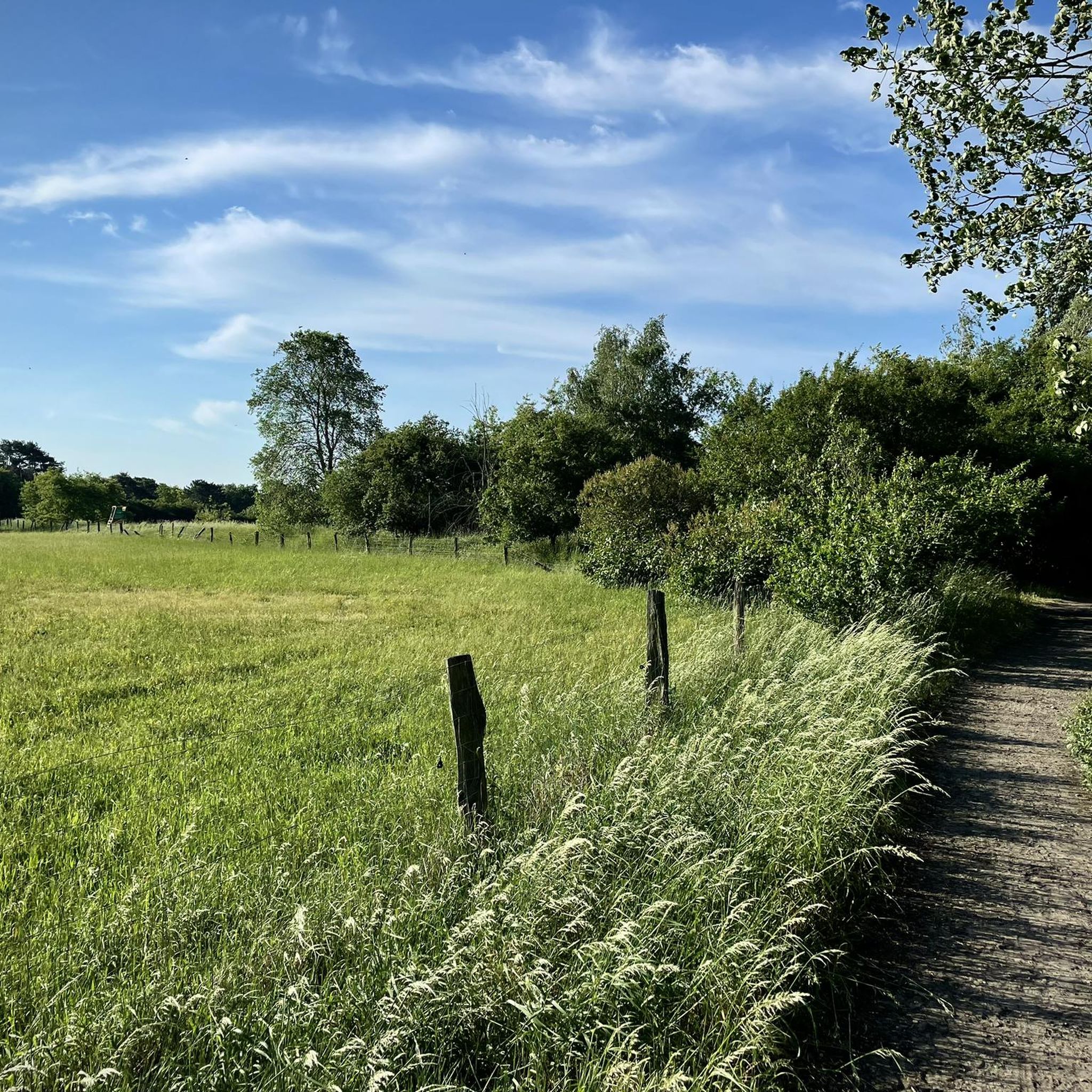
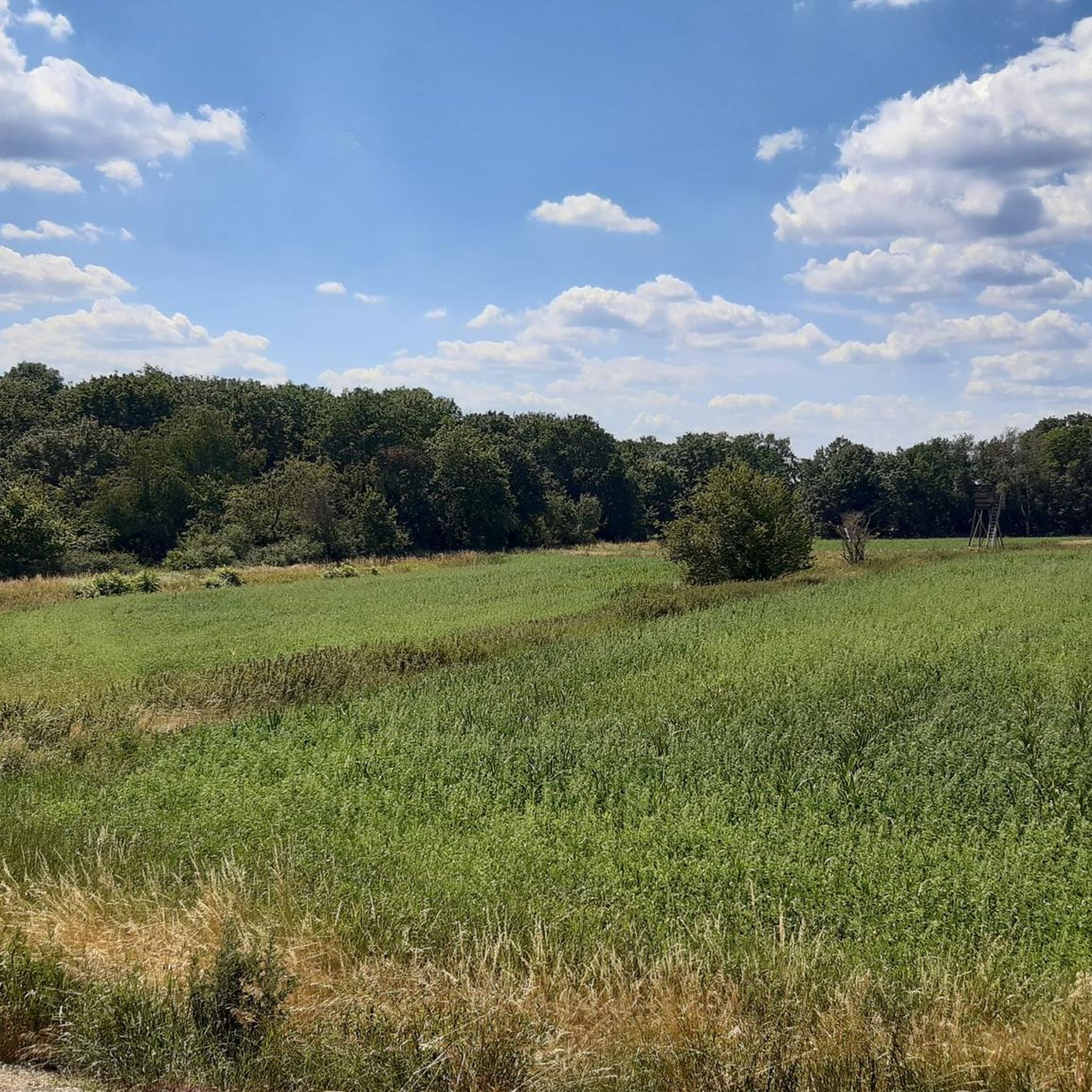
The Karolinenhöhe sewage fields are a vast nature reserve. They originated from former sewage fields, and the structure of the settling ponds can still be clearly seen today. They were only taken out of regular use in 1998 and today, with their meadows, wetlands, and numerous small paths, they form a varied local recreation area.
1
0

Path blocked, for whatever reason
0
0

Very cool mill. It was restored by a carpentry class from the Knobelsdorf school.
0
0

Anyone who is on the Spandau Pilgrimage Route will receive a beautiful pilgrim stamp here 😉
2
0

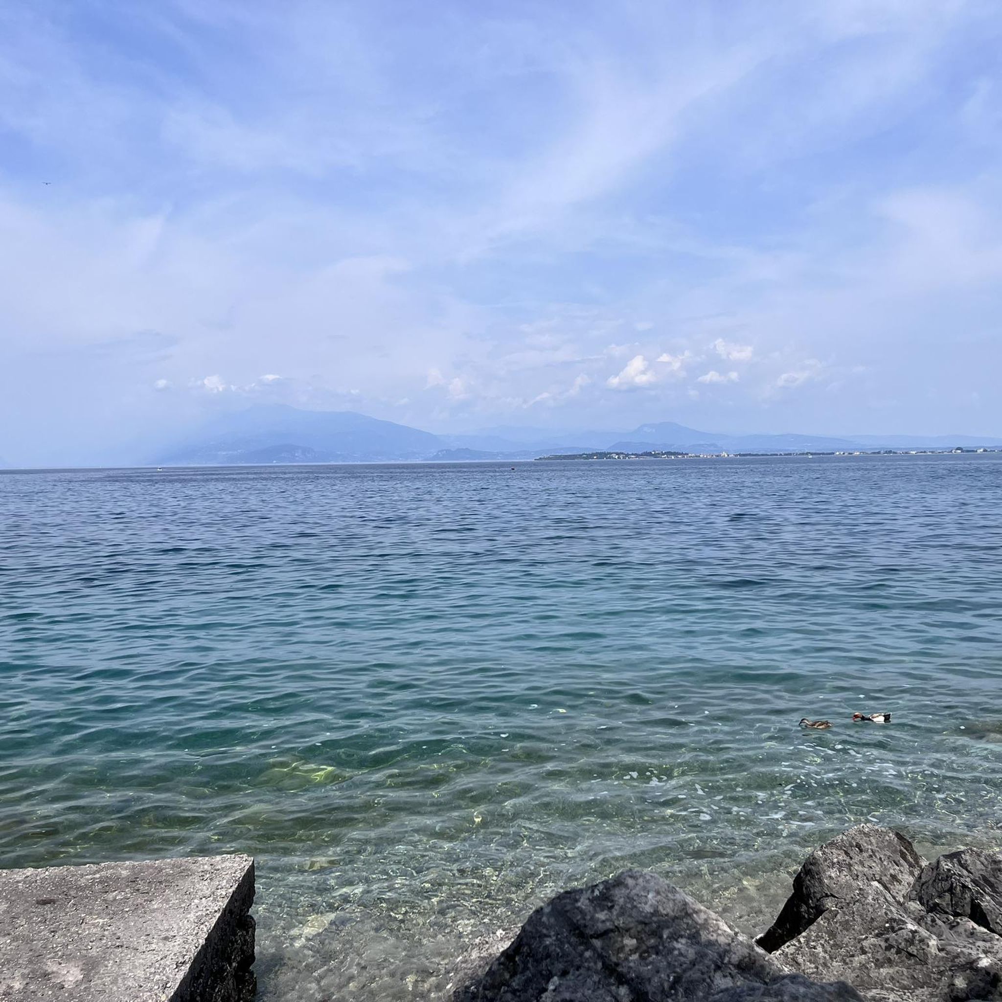
Here you can walk along the shore
0
1

Here you have a beautiful view over the Havel to the Grunewald Tower
0
1
The former sewage fields are now a landscape perfect for hiking. In 2021, the Spandau district purchased the sewage fields. This was intended to ensure that the area's character is preserved in the long term. Since 2022, funding has also been available to renaturalize the sewage fields and promote biodiversity.
0
1

There are also very old gravestones and inscriptions here.
2
0
Frequently Asked Questions
What kind of terrain can I expect when hiking in Rieselfelder Karolinenhöhe?
The terrain in Rieselfelder Karolinenhöhe is generally flat, characterized by former sewage fields, nature reserves, and paths along the Havel River. This makes most routes suitable for various activity levels with minimal elevation changes.
How many hiking trails are available in Rieselfelder Karolinenhöhe?
There are over 35 hiking trails available in Rieselfelder Karolinenhöhe, offering a wide range of options for different preferences and skill levels. Most of these are easy to moderate.
Are there any easy hiking routes suitable for beginners in Rieselfelder Karolinenhöhe?
Yes, Rieselfelder Karolinenhöhe offers many easy routes perfect for beginners. For example, the Rieselfelder Karolinenhöhe – Gatow Post Mill loop from Spandau is an easy 7.1 km trail, and the Spandau Sewage Fields – Rieselfelder Karolinenhöhe loop from Rieselfelder Karolinenhöhe is an even shorter 5.8 km easy route.
Can I find circular hiking routes in Rieselfelder Karolinenhöhe?
Yes, the area is well-suited for circular walks. Many routes are designed as loops, allowing you to start and end at the same point. An example is the Breitenhorn bathing spot – Havel River view loop from Spandau, which offers scenic views along the Havel.
Are the hiking trails in Rieselfelder Karolinenhöhe suitable for families with children?
Given the generally flat terrain and numerous easy routes, Rieselfelder Karolinenhöhe is very suitable for families. Many paths are wide and well-maintained, making them pleasant for walks with children. Consider shorter, easy loops for a family-friendly outing.
Can I bring my dog on the hiking trails in Rieselfelder Karolinenhöhe?
Yes, dogs are generally welcome on the hiking trails in Rieselfelder Karolinenhöhe. However, as it is a nature-rich area, it's important to keep dogs on a leash, especially in nature reserve sections, to protect local wildlife and ensure a pleasant experience for all visitors.
What kind of wildlife can I expect to see in Rieselfelder Karolinenhöhe?
Rieselfelder Karolinenhöhe, with its wetlands and nature reserves, is a haven for various bird species. You might spot waterfowl, raptors, and other migratory birds. Keep an eye out for smaller mammals and insects that thrive in this unique ecosystem.
Are there any interesting landmarks or attractions to see along the trails?
Yes, the area offers several points of interest. You can explore the Rieselfelder Karolinenhöhe itself, which is a unique natural area. The Jaczo Tower is another notable landmark, and the Feldflur Gatow / Kladow Conservation Area offers more natural beauty.
What do other hikers enjoy most about hiking in Rieselfelder Karolinenhöhe?
The area is highly rated by the komoot community, with an average score of 4.6 stars from over 100 reviews. Hikers often praise the peaceful natural environment, the well-maintained paths, and the scenic views along the Havel River.
Is there public transport available to reach the hiking trails?
Yes, Rieselfelder Karolinenhöhe is accessible by public transport, being part of Berlin. Specific bus lines serve the area, connecting it to nearby train stations and other parts of the city. We recommend checking local transport schedules for the most convenient connections to trailheads.
Are there parking facilities available for hikers?
Yes, there are parking options available near the main access points to the Rieselfelder Karolinenhöhe trails. These are typically located at the edges of the nature areas or near residential zones that border the hiking paths. Always check local signage for parking regulations.
Can I hike in Rieselfelder Karolinenhöhe during winter?
Winter hiking is possible in Rieselfelder Karolinenhöhe, as the trails are generally flat and well-maintained. The landscape can be particularly serene with a dusting of snow. However, always check weather conditions and wear appropriate warm and waterproof clothing and footwear.
Most popular routes in Rieselfelder Karolinenhöhe
Most popular attractions in Rieselfelder Karolinenhöhe

Get inspired with the komoot mobile app


Explore more
Browse the best Hikes in other regions.
