The best walks and hikes in Tornower Niederung
4.5
(3773)
15,624
hikers
240
hikes
Hiking trails in Tornower Niederung are primarily defined by a unique post-mining landscape in Brandenburg, Germany. This area features diverse wetland environments created by groundwater rise and ongoing restoration efforts. While ecologically significant as a biodiversity hotspot, parts of the region currently have restricted public access due to ground subsidence from its past as a lignite mining area. The terrain is generally flat, offering routes that navigate around lakes and through areas undergoing ecological recovery.
Best hiking trails in Tornower…
Last updated: June 26, 2026
5.0
(1)
2
hikers
Moderate hike. Good fitness required. Easily-accessible paths. Suitable for all skill levels.
4.5
(4)
10
hikers
12.8km
03:16
50m
50m
Moderate hike. Good fitness required. Easily-accessible paths. Suitable for all skill levels.

Sign up for free
5.0
(1)
9
hikers
Hard hike. Very good fitness required. Easily-accessible paths. Suitable for all skill levels.
4.0
(1)
9
hikers
6.91km
01:44
0m
0m
Easy hike. Great for any fitness level. Easily-accessible paths. Suitable for all skill levels.
5.0
(1)
9
hikers
Moderate hike. Good fitness required. Easily-accessible paths. Suitable for all skill levels.
Get access to more routes and recommendations from other explorers.
Sign up for free
Already have an account?
Our route recommendations are based on thousands of hikes, rides, and runs completed by other people on komoot.
Start today with a free account
Your next adventure awaits.
Login or Signup
Tips from the Community

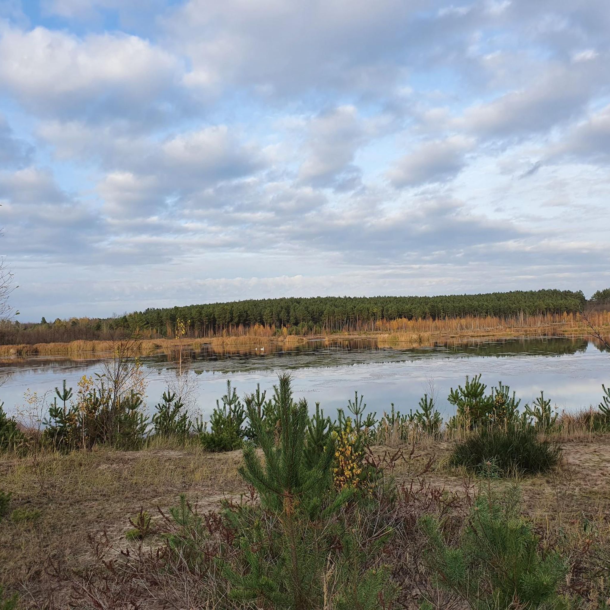
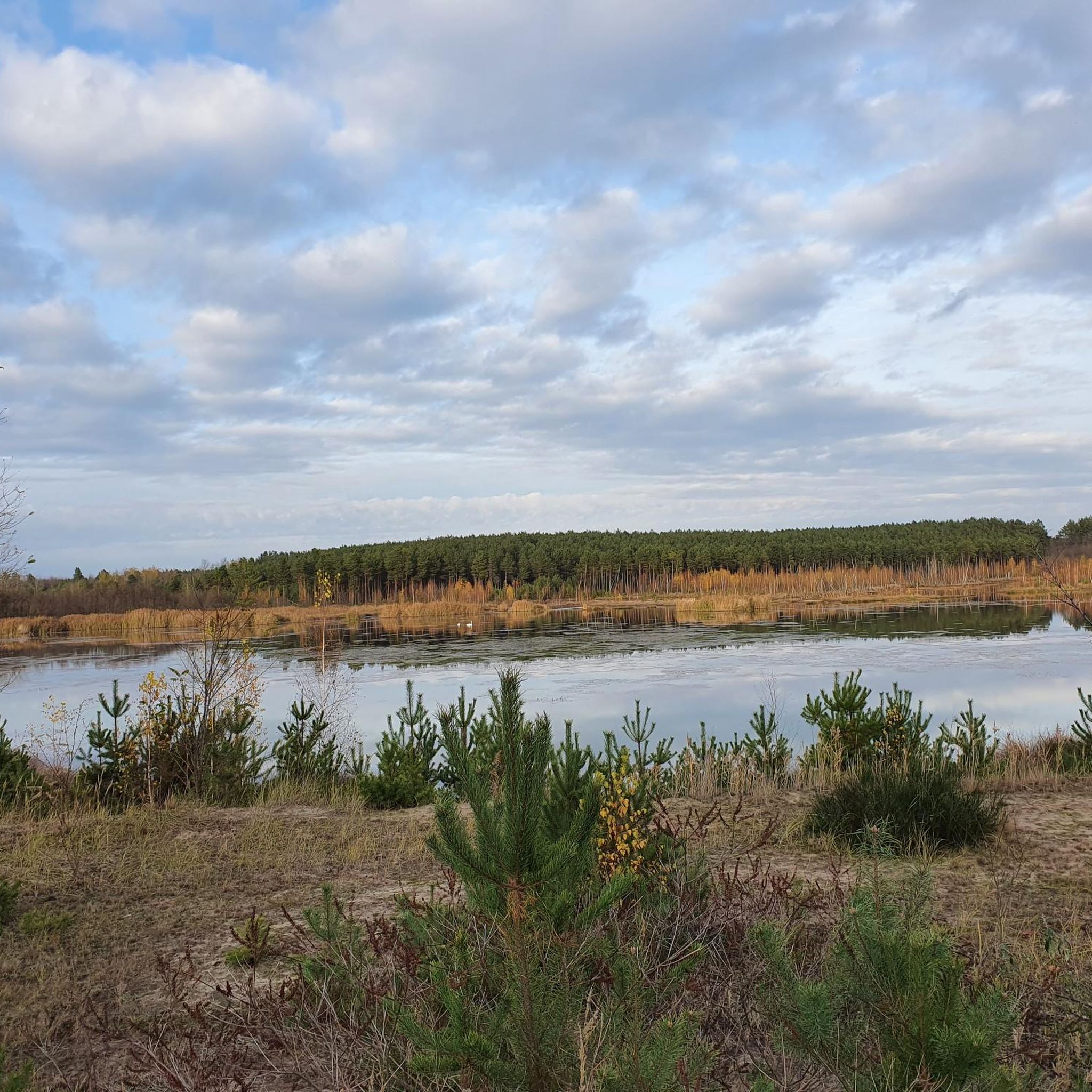
The area around Lake Schlabendorf is a paradise for ornithologists. The renaturation of the former open-cast mining areas has led to numerous bird species settling there, including rare species such as the sea eagle and the crane.
0
0

This was the centre of the village of Wanninchen until 1985, when it, like five other villages, fell victim to open-cast lignite mining.
0
0
The marina is full of water, there are enough jetties and moorings. What is missing are the boats. Only two were here today.
0
0

The town of Wanninchen was demolished in 1985 to make way for open-cast lignite mining. The last remaining house now houses the Sielmann Foundation. It has purchased 3,300 hectares and is allowing nature to take its course.
1
0
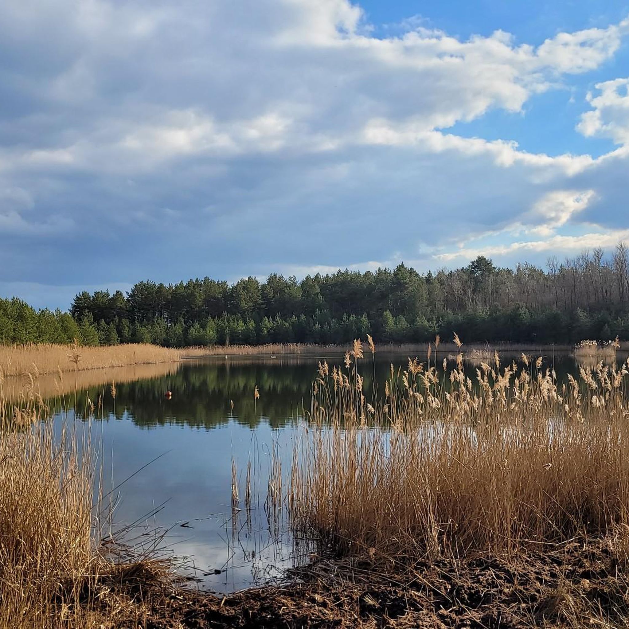
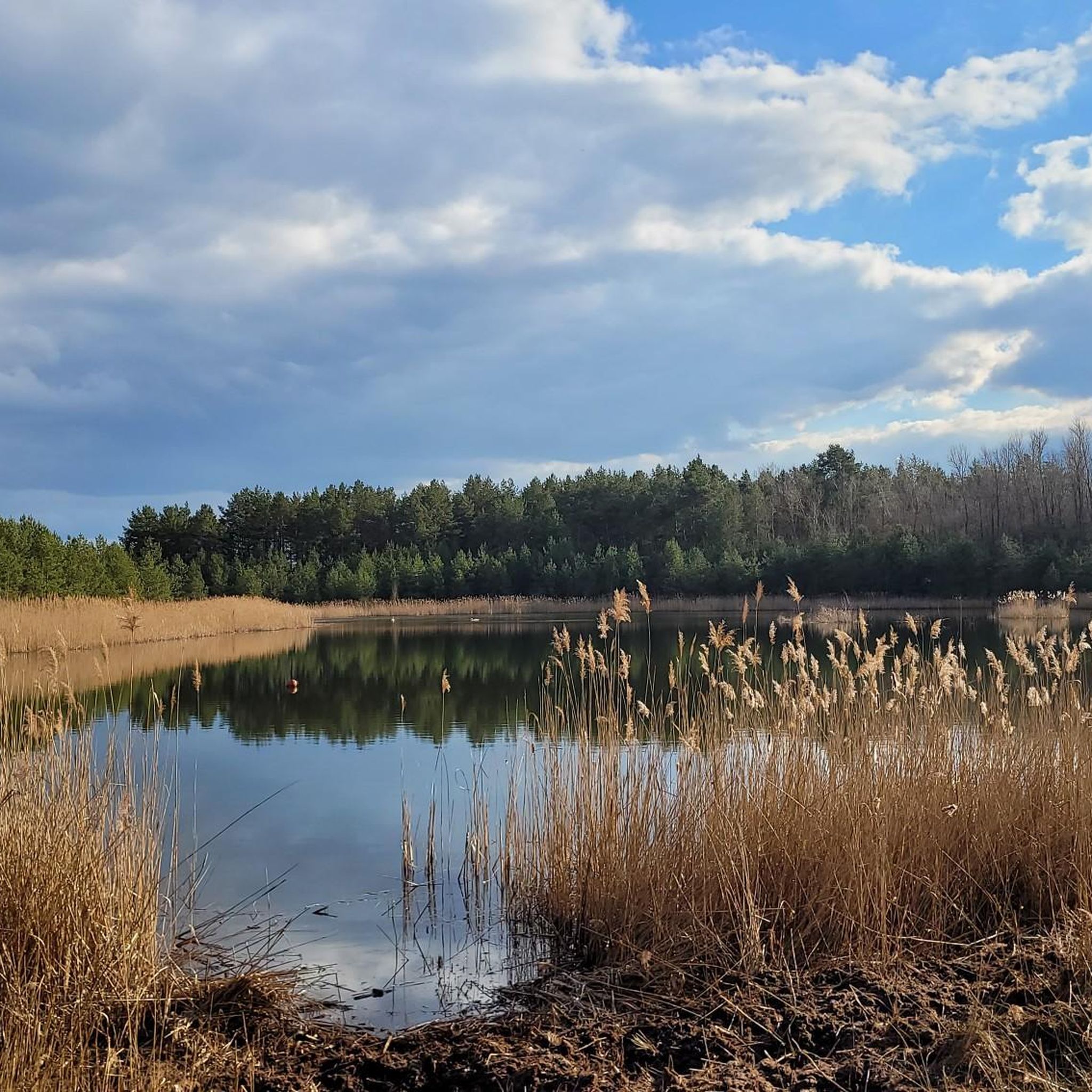
Great view over the artificial lake. During migratory bird season the spectacle must be impressive.
0
0

A nice place to rest. Here you have a wide view over the lake. Ducks often float on the water, hundreds of geese in autumn and mute and whooper swans in winter.
0
0

The small structure, which is open on all sides, offers protection from rain in some places. On nice days you can also enjoy the great view of Lake Schlendorf from a bench.
3
0

Marina Schlabendorf is a recreation and leisure center on Lake Schlabendorfer. However, due to the current closure of the lake, it is relatively deserted. When it's not on the move, the liming ship “Barbara” is not far away.
0
0
Frequently Asked Questions
What is the typical terrain like for hiking in Tornower Niederung?
The terrain in Tornower Niederung is primarily shaped by its history as a former lignite mining area. You'll find a generally flat landscape with diverse wetland environments, created by groundwater rise and ongoing restoration efforts. Routes often navigate around lakes and through areas undergoing ecological recovery, offering minimal elevation gain.
What are the difficulty levels of hiking trails in Tornower Niederung?
Tornower Niederung offers a range of trails suitable for various abilities. Out of over 240 routes, the majority are classified as easy (around 150 trails), with a significant number of moderate routes (about 75 trails). There are also a few more challenging routes available for experienced hikers.
Are there any specific natural features or wildlife to observe while hiking?
Yes, Tornower Niederung is a vital biodiversity hotspot. Hikers can observe a diverse wetland environment that serves as a refuge for various wildlife, including numerous breeding and migratory bird species, diverse amphibians, and rare dragonfly species like the Large Emerald Damselfly. The landscape itself, with its post-mining transformation, is a unique natural feature.
Are there any circular hiking routes in Tornower Niederung?
Many of the trails in Tornower Niederung are designed as circular routes. For example, the View of Lake Schlabendorf – Zinnitz Village Church loop from Zinnitz - Syńeńce is a popular moderate option, and the The Fountain – Covered Rest Area loop from Tornower Niederung also offers a circular experience.
What should I know about public access and safety when hiking in Tornower Niederung?
Due to ground subsidence resulting from its post-mining past, parts of the Tornower Niederung are currently closed to public access to ensure safety. While it's an ecologically significant area, hikers should be aware of and respect any restricted zones. Always stick to marked trails.
Is Tornower Niederung suitable for family-friendly hikes?
Given the generally flat terrain and the abundance of easy routes (over 150), Tornower Niederung can be suitable for family-friendly hikes. However, it's important to note that some areas have restricted access due to safety concerns, so families should choose well-marked and accessible trails. The focus on nature observation can also be engaging for children.
Can I bring my dog on the hiking trails in Tornower Niederung?
While the guide data does not specify dog-friendly policies, generally, dogs are permitted on trails in natural areas in Brandenburg, often on a leash. However, given the area's status as a biodiversity hotspot with sensitive wildlife and restricted access in some parts, it's advisable to keep dogs under strict control and check for any local signage regarding pet regulations before your visit.
What do other hikers enjoy most about hiking in Tornower Niederung?
The trails in Tornower Niederung are highly rated by the komoot community, with an average score of 4.5 stars from over 3,000 reviews. Hikers often praise the unique post-mining landscape, the tranquility of the wetland environments, and the opportunities for nature observation. The flat terrain also makes many routes accessible and enjoyable.
Are there any specific routes that offer views of lakes?
Yes, several routes provide views of the local lakes. For instance, the View of Lake Schlabendorf – Zinnitz Village Church loop from Zinnitz - Syńeńce offers scenic views of Lake Schlabendorf. Another option is the Schlabendorfer See – Marina Schlabendorf am See loop from Zinnitz - Syńeńce, which leads along the shores of Schlabendorfer See.
How long do hikes in Tornower Niederung typically take?
Hike durations vary depending on the route and your pace. For example, the moderate View of Lake Schlabendorf – Zinnitz Village Church loop from Zinnitz - Syńeńce, which is 5.4 miles (8.7 km), typically takes around 2 hours and 12 minutes. Longer routes like the Schlabendorfer See – Marina Schlabendorf am See loop from Zinnitz - Syńeńce, at 11.1 miles (17.8 km), can take about 4 hours and 30 minutes.
Is there public transport or parking available for hikers?
Information regarding specific public transport connections directly to trailheads or designated parking areas within the Tornower Niederung is not readily available in the guide data. Visitors are advised to plan their travel accordingly, potentially relying on personal vehicles and checking local resources for parking options near accessible trail entry points.
What is the best time of year to visit Tornower Niederung for hiking?
While no specific 'best time' is detailed, the unique wetland environment and biodiversity suggest that spring and autumn could be particularly rewarding for nature observation, especially for birdwatching and spotting rare dragonflies. Summer offers warmer weather, but always be mindful of local conditions and any access restrictions due to the post-mining landscape.
Most popular routes in Tornower Niederung

Get inspired with the komoot mobile app


Explore more
Browse the best Hikes in other regions.
