The best road cycling routes in Schuge- Und Mühlenfließquellgebiet
4.5
(106)
543
riders
60
rides
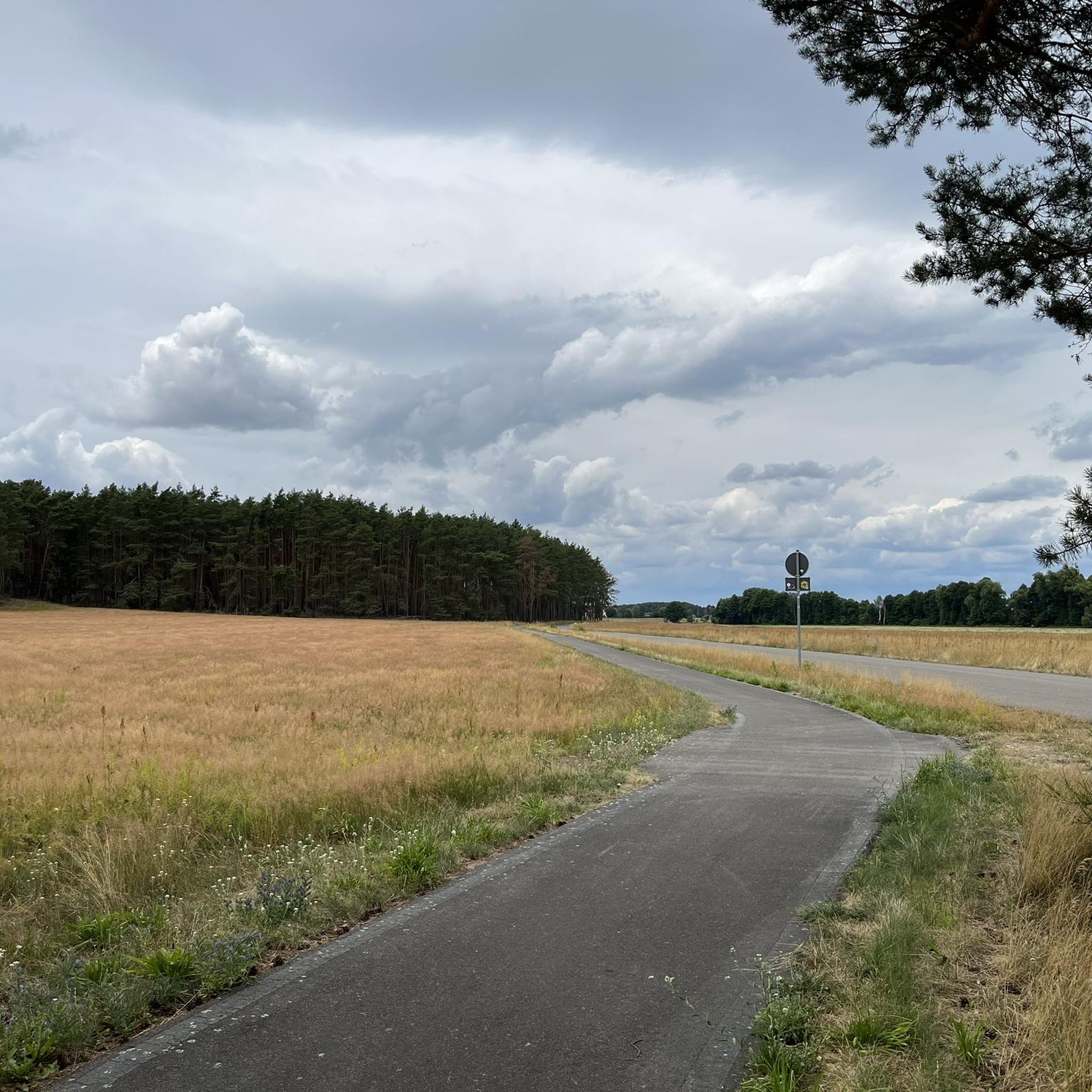
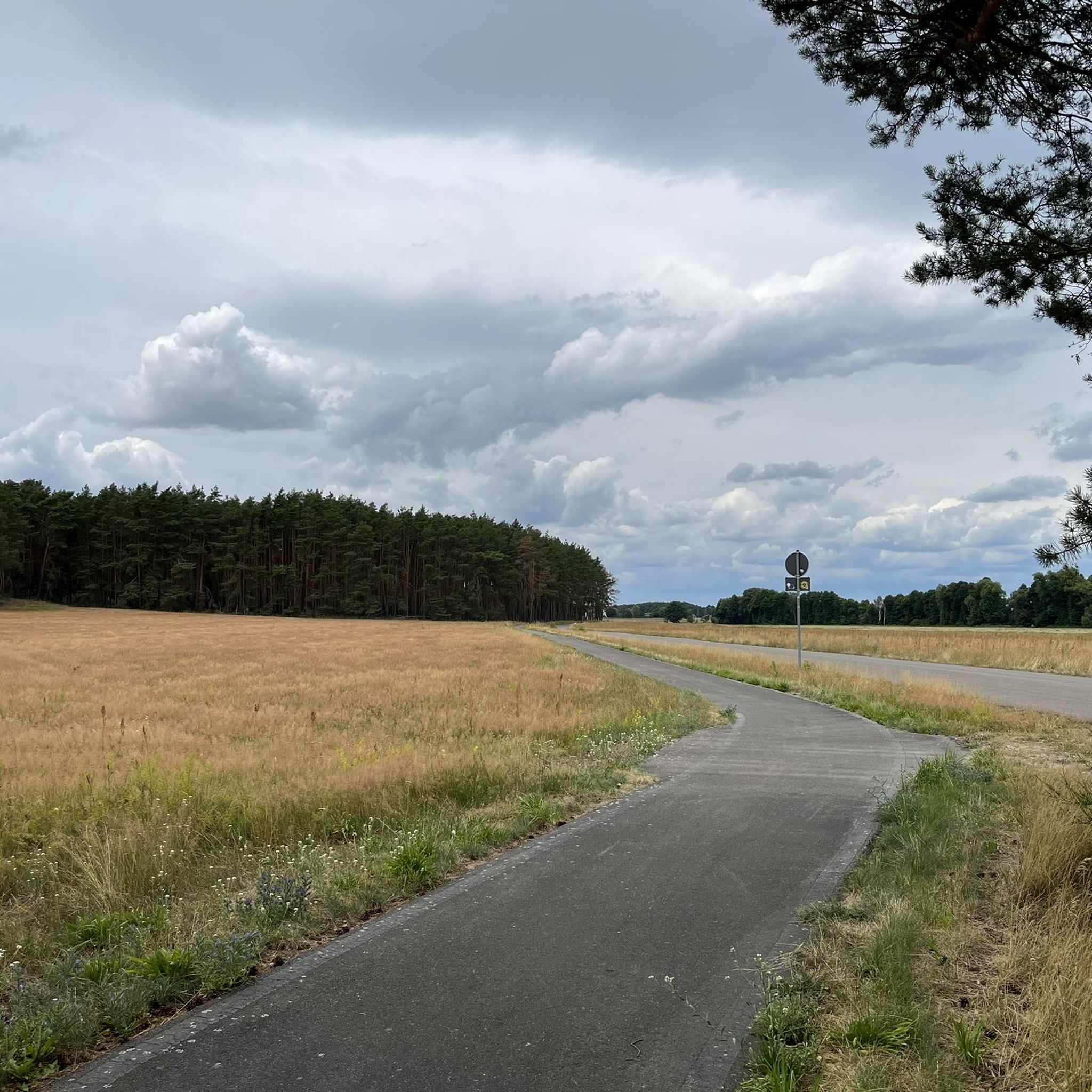
Road cycling routes in Schuge- und Mühlenfließquellgebiet traverse a landscape defined by its water bodies, including the headwaters of the Schuge and Paseriner Mühlenfließ rivers, alongside numerous small flowing waters and ponds. The region features significant areas of alder carr forests and wet meadows, indicating high groundwater levels. A gentle land ridge provides subtle variations in elevation, rising from 75 meters to 100 meters above sea level across generally flat terrain.
Best road cycling routes in Schuge- Und Mühlenfließquellgebiet
- The…
Last updated: July 10, 2026
4.0
(2)
16
riders
23.1km
00:58
60m
60m
Easy road ride. Great for any fitness level. Mostly well-paved surfaces and easy to ride.
18
riders
Easy road ride. Great for any fitness level. Mostly well-paved surfaces and easy to ride.

Sign up for free
11
riders
85.9km
03:32
310m
310m
Moderate road ride. Good fitness required. Some segments of this route may be unpaved and difficult to ride.
7
riders
76.7km
03:07
190m
190m
Moderate road ride. Good fitness required. Some segments of this route may be unpaved and difficult to ride.
6
riders
Moderate road ride. Great for any fitness level. Some segments of this route may be unpaved and difficult to ride.
Get access to more routes and recommendations from other explorers.
Sign up for free
Already have an account?
Our route recommendations are based on thousands of hikes, rides, and runs completed by other people on komoot.
Start today with a free account
Your next adventure awaits.
Login or Signup
Popular around Schuge- Und Mühlenfließquellgebiet
Tips from the Community

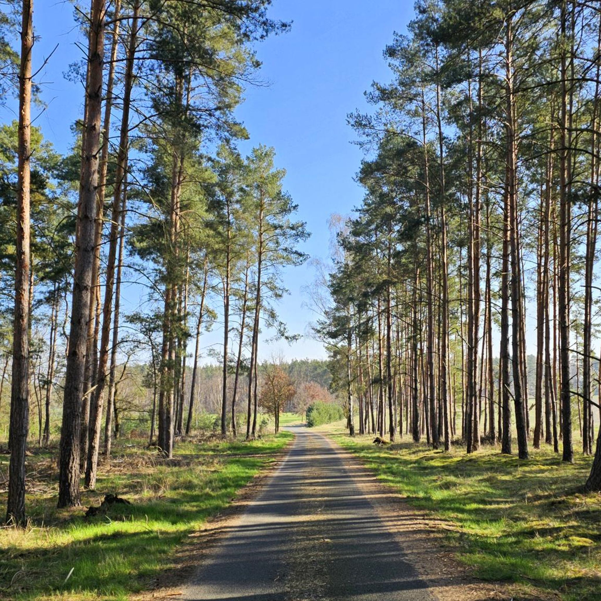
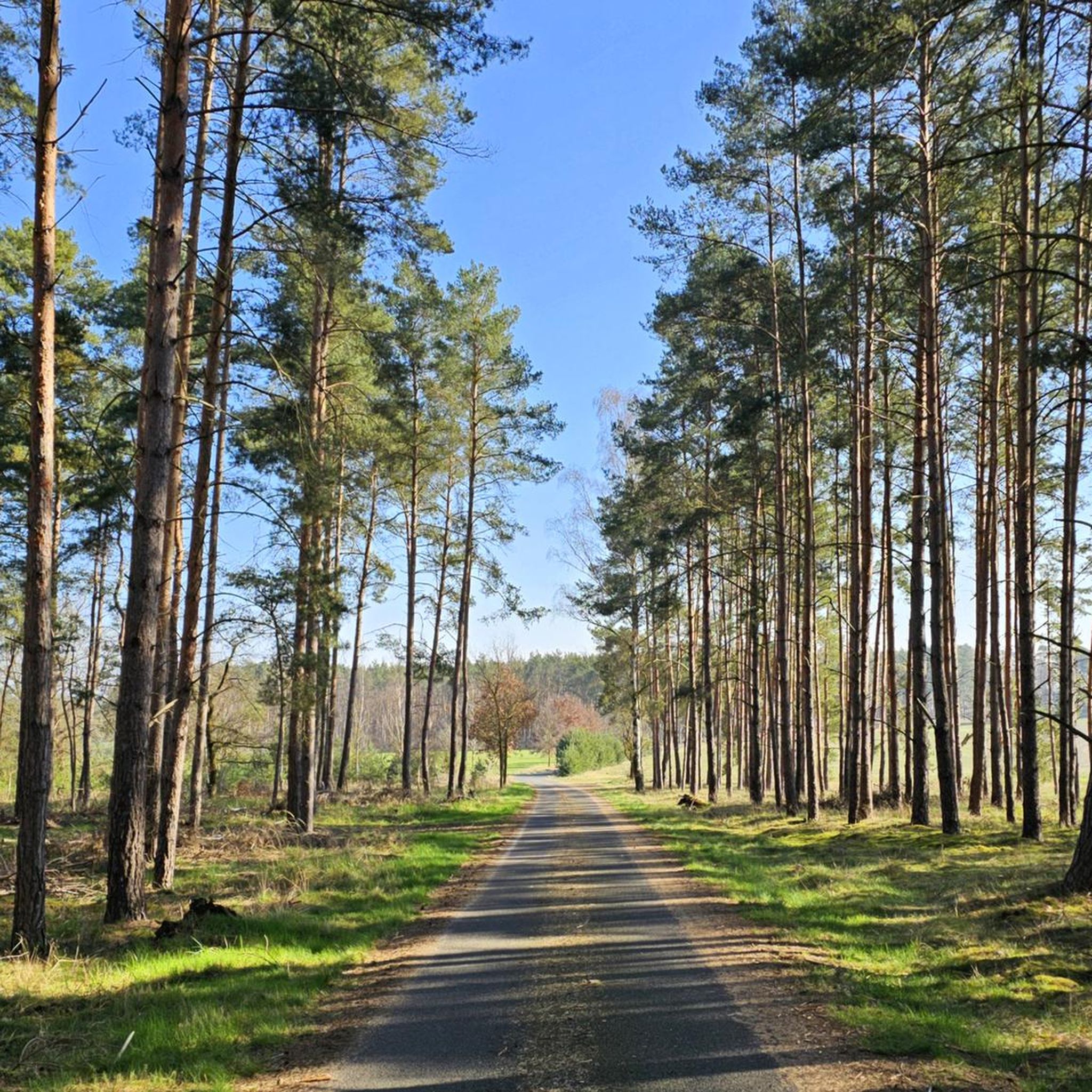
A beautiful, easy and short tour, which can also be ridden well in intense sunshine, as there is a lot of shade. Even the roads to be ridden are not busy. I didn't see any places to stop during the week.
0
0

Very nice cycle path through the forest
0
0

From Hohenseefeld towards Wiepersdorf, very strong headwinds should be expected
0
0

I don't know what everything with asphalt looked like before, but now it's a forest path
0
0

Flämingskate is also highly recommended for cyclists! Great routes!
0
0
A jewel of the Brandenburg Traverse. Perfect terrain and wonderfully shady.
0
0

The bike ride to Körper Teich is worthwhile at any time of year. Unfortunately, there are no refreshment options anywhere.
1
0
Quiet road, easy to drive
1
0
Frequently Asked Questions
How many road cycling routes are available in the Schuge- Und Mühlenfließquellgebiet region?
There are over 60 road cycling routes available in the Schuge- Und Mühlenfließquellgebiet, catering to various skill levels. You'll find a wide selection of paths to explore the region's unique natural landscape.
What is the typical terrain like for road cycling in Schuge- Und Mühlenfließquellgebiet?
The terrain in Schuge- Und Mühlenfließquellgebiet is generally flat, making it suitable for cyclists of all skill levels. While there's a gentle land ridge that rises from 75 to 100 meters above sea level, the overall elevation changes are subtle. The region is known for its well-maintained, mostly paved surfaces, ensuring a smooth ride.
Are there road cycling routes suitable for beginners or families in the Schuge- Und Mühlenfließquellgebiet?
Yes, the region is very beginner and family-friendly, with 19 easy routes available. The flat terrain and well-maintained paths make it ideal for relaxed rides. An excellent option is the Kümmritz Village Church – Golßen Town Hall loop from Kümmritz, which is an easy 14.4-mile trail.
What kind of natural features can I expect to see along the road cycling routes?
Road cycling routes in Schuge- Und Mühlenfließquellgebiet are characterized by water bodies, including the headwaters of the Schuge and Paseriner Mühlenfließ rivers, numerous small flowing waters, and ponds. You'll also pass through significant areas of alder carr forests and wet meadows, showcasing the region's high groundwater levels and rich biodiversity.
Are there any longer or more challenging road cycling routes for experienced riders?
While the region is generally flat, there are moderate routes that offer longer distances. For instance, the Vogelturm Dahme/Mark – Körbaer Pond loop from Drahnsdorf is a moderate 53.3-mile route. There is also one difficult route available for those seeking a greater challenge.
What is the best time of year to go road cycling in Schuge- Und Mühlenfließquellgebiet?
The Brandenburg region, including Schuge- Und Mühlenfließquellgebiet, is generally pleasant for cycling from spring through autumn. The tranquil environment, away from heavy traffic, combined with picturesque natural scenery, makes it appealing during these seasons. Winter cycling is possible, but conditions may vary.
Are there loop routes available for road cyclists?
Yes, many of the road cycling routes in Schuge- Und Mühlenfließquellgebiet are designed as loops, allowing you to start and end at the same point. An example is the Kasel-Golzig Village Church – Zützen Village Church loop from Drahnsdorf, an easy 23.4-mile path offering scenic views through the natural park.
What do other road cyclists enjoy most about cycling in Schuge- Und Mühlenfließquellgebiet?
The area is highly rated by the komoot community, with an average score of 4.6 stars from over 100 reviews. Cyclists often praise the tranquil environment, the well-maintained paths, and the unique natural scenery, particularly the wetlands and forests, which provide a peaceful escape.
Are there any specific routes that pass through villages or offer cultural sights?
Many routes in the region connect various villages, offering glimpses into local life and architecture. The Kasel-Golzig Village Church – Zützen Village Church loop from Drahnsdorf, for example, provides scenic views through the natural park and passes through several charming villages.
Is it possible to see wildlife while road cycling in the region?
Yes, the Schuge- Und Mühlenfließquellgebiet is a vital habitat for diverse wildlife. From established roads and paths, you might observe amphibians like the European tree frog, various bird species such as cranes and marsh harriers, as well as bats and insects, especially in the wetland and forest areas.
What is the longest road cycling route available in Schuge- Und Mühlenfließquellgebiet?
One of the longer routes is the Vogelturm Dahme/Mark – Körbaer Pond loop from Drahnsdorf, which spans 53.3 miles (85.8 km) and typically takes around 3 hours and 30 minutes to complete.
Most popular routes in Schuge- Und Mühlenfließquellgebiet

Get inspired with the komoot mobile app


Explore more
Browse the best Road cycling routes in other regions.
