The best walks and hikes in Lausitzer Bergbaufolgelandschaft
4.5
(552)
2,062
hikers
135
hikes
Hiking in Lausitzer Bergbaufolgelandschaft offers a unique experience within a landscape transformed by former lignite open-cast mining. The region is characterized by an extensive network of artificial lakes, evolving ecosystems featuring heathland, dry sandy grassland, and wetlands, alongside pine, oak, and mixed forests. Hikers can observe the contrast between newly formed nature and remnants of industrial heritage, including former open pits and spoil heaps. The terrain generally features low elevation changes, making it accessible for various fitness levels.
Best hiking…
Last updated: June 27, 2026
4.8
(5)
10
hikers
Moderate hike. Good fitness required. Easily-accessible paths. Suitable for all skill levels.
7
hikers
8.08km
02:03
10m
10m
Moderate hike. Good fitness required. Easily-accessible paths. Suitable for all skill levels.

Sign up for free
4.3
(3)
15
hikers
Easy hike. Great for any fitness level. Easily-accessible paths. Suitable for all skill levels.
4
hikers
Moderate hike. Good fitness required. Easily-accessible paths. Suitable for all skill levels.
5.0
(1)
4
hikers
5.28km
01:20
10m
10m
Easy hike. Great for any fitness level. Easily-accessible paths. Suitable for all skill levels.
Get access to more routes and recommendations from other explorers.
Sign up for free
Already have an account?
Our route recommendations are based on thousands of hikes, rides, and runs completed by other people on komoot.
Start today with a free account
Your next adventure awaits.
Login or Signup
Tips from the Community


We visited the Blockhouse restaurant and had a very good meal.
0
0

Beautiful campsite with plenty of grassy pitches and a nice restaurant.
0
0
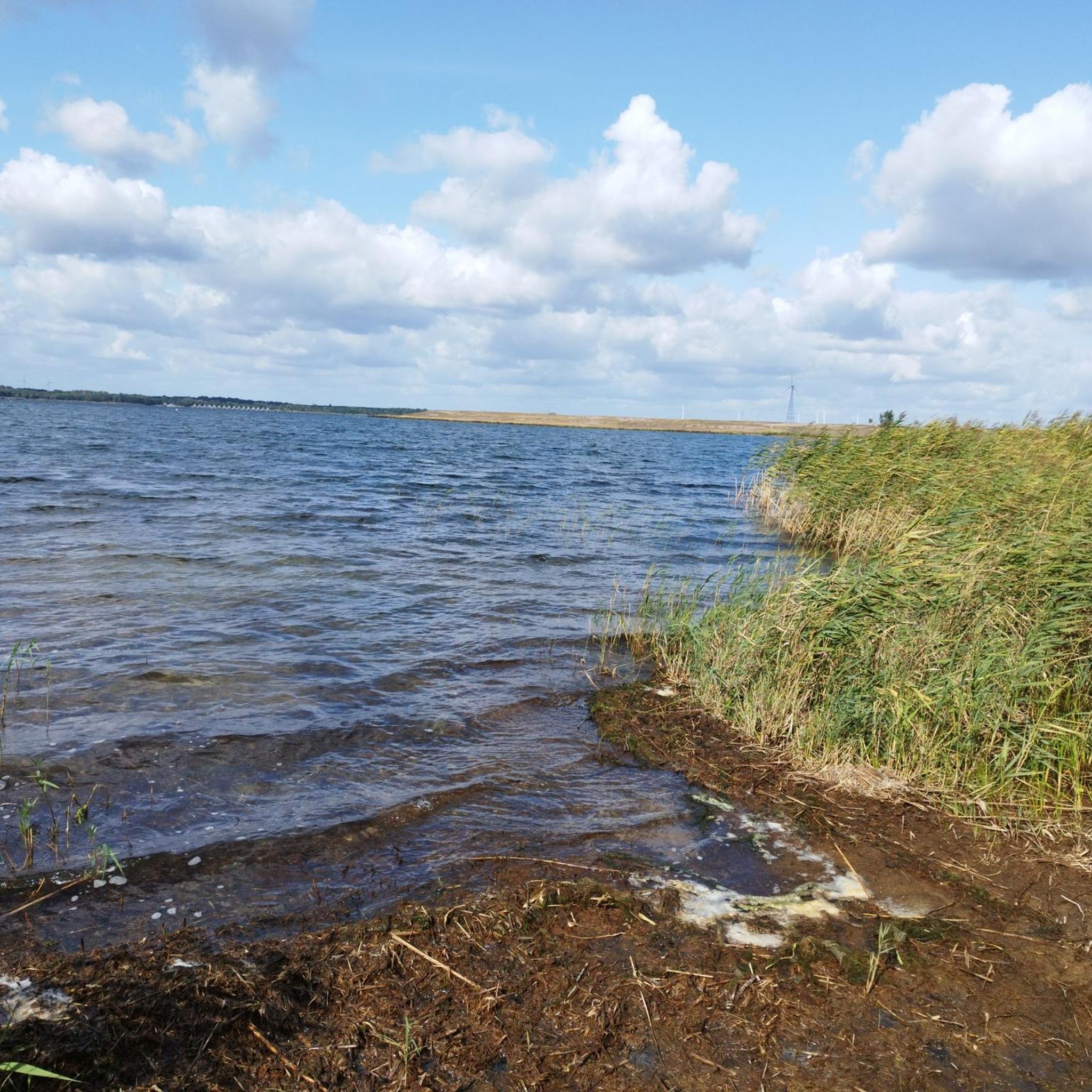
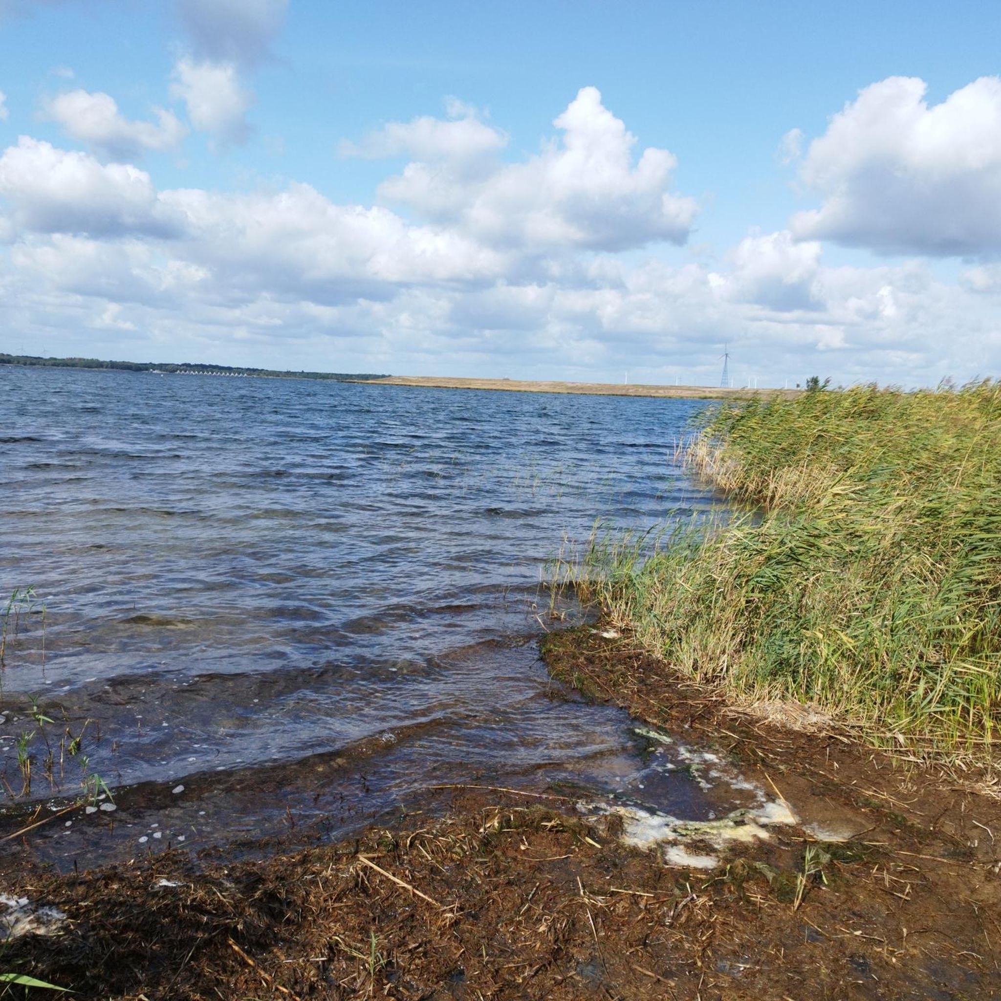
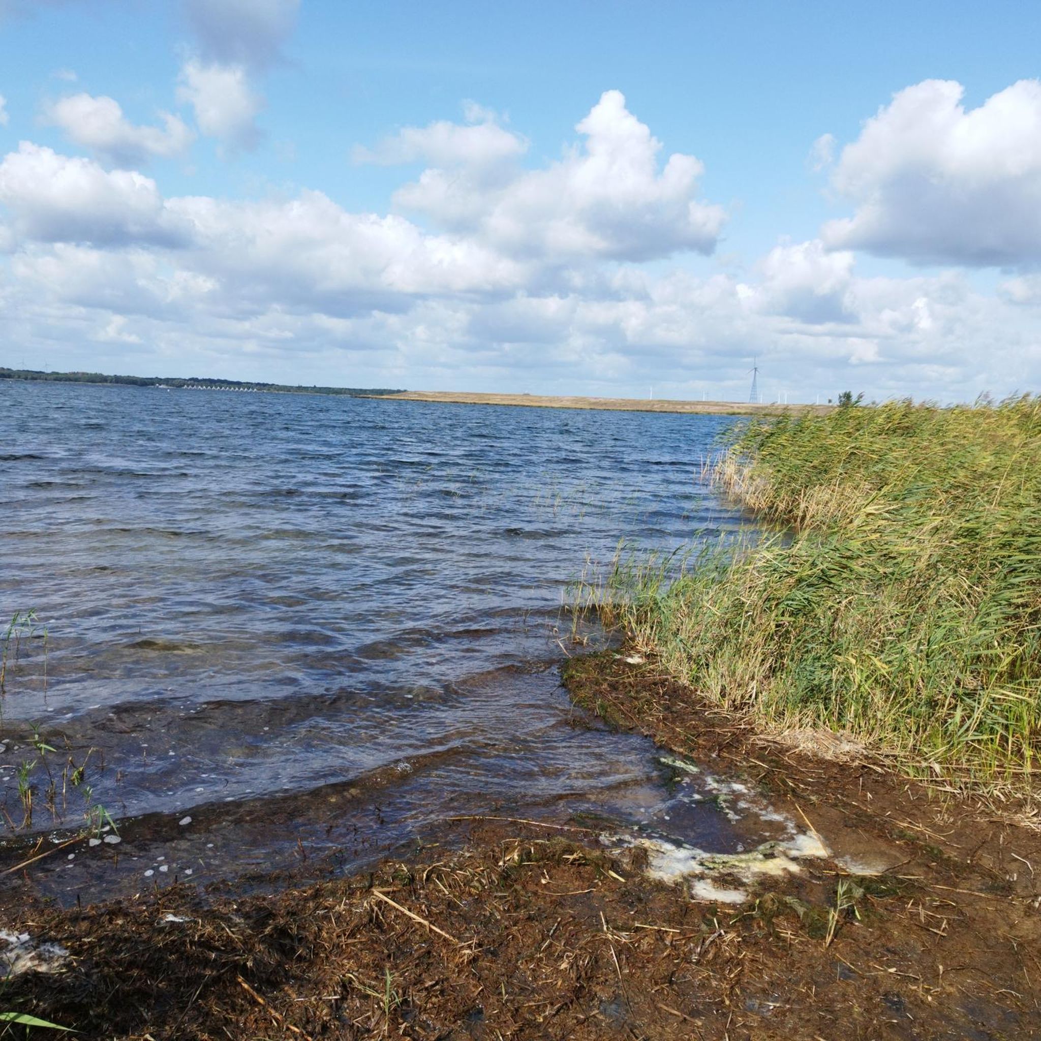
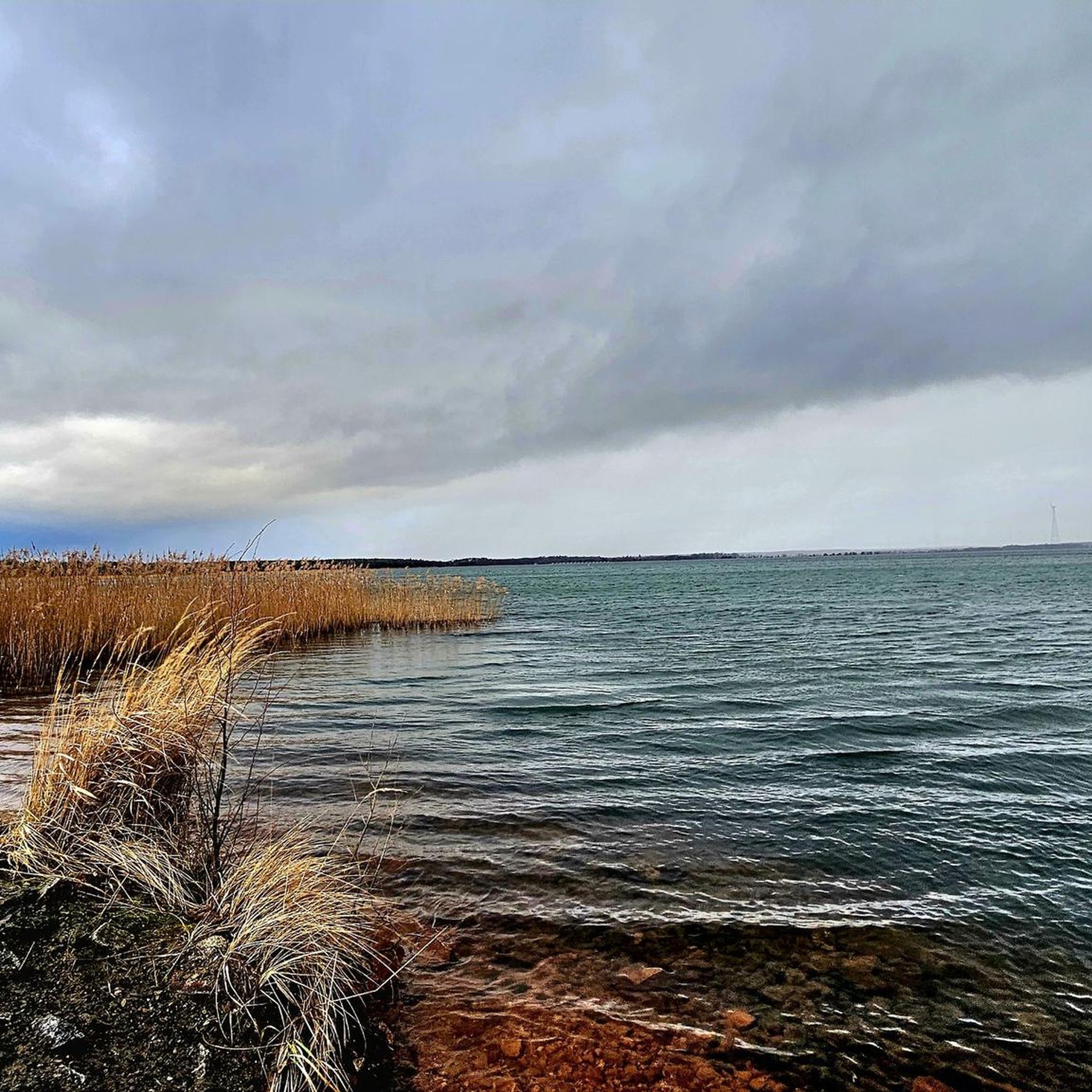
Former open-cast mine, now a beautiful lake with a cycle path.
1
0
There is a large public parking lot here.
0
0
A spacious campsite worth seeing. Check restaurant opening hours during the off-season.
0
1

Frequently Asked Questions
How many hiking trails are there in Lausitzer Bergbaufolgelandschaft, and what are their difficulty levels?
The Lausitzer Bergbaufolgelandschaft offers a comprehensive network of over 130 hiking trails. You'll find a wide range of options, with more than 80 routes classified as easy, around 50 as moderate, and a few more challenging trails for experienced hikers.
Are there family-friendly hiking routes in the Lausitzer Bergbaufolgelandschaft?
Yes, the region is well-suited for families. Many of the trails, especially those around the lakes, are relatively flat and well-maintained, making them ideal for all ages. Look for the numerous easy-rated routes, which often provide gentle strolls with scenic views of the evolving landscape.
Can I bring my dog on the hiking trails in this region?
Many trails in the Lausitzer Bergbaufolgelandschaft are dog-friendly, allowing you to explore the unique landscape with your canine companion. It's always recommended to keep dogs on a leash, especially in nature protection zones or areas with wildlife, and to respect local signage regarding pet access. The diverse terrain, from lake shores to forest paths, offers plenty for dogs to enjoy.
Are there circular hiking routes available in the Lausitzer Bergbaufolgelandschaft?
Yes, circular routes are a prominent feature of the hiking network, particularly around the numerous artificial lakes. These trails offer convenient starting and ending points, often providing continuous scenic views. An example is the Gräbendorfer Lake – Camp Casel loop from Casel - Kózle, which circles the lake and takes about two hours.
What kind of natural highlights and viewpoints can I expect to see while hiking?
The region is rich in unique natural highlights, including the vast network of artificial lakes like Lake Senftenberg and Geierswalder See, and evolving ecosystems with heathland and wetlands. You can also find striking viewpoints, such as the 30-meter-high "Rusty Nail" (Landmarke Lausitzer Seenland) and the Sedlitzer Turm, which offer panoramic views of the transformed landscape. The Schlaube valley, described as an "enchanted fairytale forest," is another natural gem.
What is the best time of year to go hiking in the Lausitzer Bergbaufolgelandschaft?
The Lausitzer Bergbaufolgelandschaft offers unique experiences throughout the year. Spring and autumn are particularly pleasant for hiking, with mild temperatures and beautiful colors. Autumn is also a prime time for birdwatching, as the area becomes a crucial resting place for thousands of cranes and geese. Summer allows for combining hikes with water activities on the lakes, while winter can offer serene, frosty landscapes.
Are there any trails that showcase the region's industrial heritage?
Absolutely. The Lausitzer Bergbaufolgelandschaft is defined by its past as a lignite mining area. Many hiking paths traverse former open pits and spoil heaps, offering unique "lunar landscapes" that illustrate the region's industrial history. The ENERGY Route, for instance, allows visitors to explore industrial heritage sites and colossal mining machinery, providing insights into this fascinating transformation.
What do other hikers say about their experience in the Lausitzer Bergbaufolgelandschaft?
The hiking trails in the Lausitzer Bergbaufolgelandschaft are highly regarded by the komoot community, with an average rating of 4.5 stars from over 700 reviews. More than 2,700 hikers have used komoot to explore the region, often praising the unique blend of natural beauty, the well-maintained paths, and the fascinating insights into the landscape's transformation.
Are there any themed hiking trails in the area?
Yes, the region features several themed trails that offer unique perspectives. You can follow "In the Footsteps of Krabat" to delve into local Sorbian legends, or explore the "Four Ponds Tour" to experience the rich water landscape. The "Lakeland Route" is a long-distance path connecting 16 lakes, showcasing the landscape's transformation.
Are there opportunities for birdwatching while hiking?
Yes, the Lausitzer Bergbaufolgelandschaft is a designated bird protection zone, making it an excellent destination for birdwatching. Its open spaces and wetlands attract numerous species. In autumn, it becomes a vital resting place for thousands of cranes and geese, offering exceptional opportunities to observe these magnificent birds.
Can I access hiking trails using public transport?
While specific public transport connections vary by trail, efforts are being made to improve accessibility to the region's outdoor attractions. It's advisable to check local bus or train schedules for connections to towns and villages near trailheads. Some areas might require a short walk or a combination of transport methods to reach the starting points.
Are there places to eat or drink near the hiking trails?
As a developing tourist region, you'll find various gastronomic options, especially in the towns and villages surrounding the larger lakes. Many lake-side trails pass by cafes, restaurants, or snack bars where you can refuel. For example, the Gräbendorfer Lake – Retro Camping Grübendorfer See loop from Casel - Kózle passes by a camping site that may offer facilities.
What kind of terrain can I expect on the hiking paths?
The terrain in the Lausitzer Bergbaufolgelandschaft is quite varied. You'll encounter wide, mostly flat, and often paved circular trails around the lakes. Other routes lead through pine, oak, and mixed forests, such as the Mystical Forest Path – Camp Casel loop from Casel - Kózle. There are also areas with unique "lunar landscapes" from former mining operations, and some routes in the Upper Lusatian Mountains offer more challenging, hilly sections.
Most popular routes in Lausitzer Bergbaufolgelandschaft

Get inspired with the komoot mobile app


Explore more
Browse the best Hikes in other regions.
