The best road cycling routes around Höchstberg
4.6
(247)
3,029
riders
194
rides
Road cycling around Höchstberg, located in the Volcanic Eifel region of Rhineland-Palatinate, Germany, offers diverse terrain shaped by its volcanic origins. The area features significant elevation changes, with the Höchstberg mountain itself reaching 616.4 meters. This landscape includes extensive forests, maars, and stream valleys, providing a varied backdrop for road cycling. The region's well-developed network of paved paths often traverses quiet villages and natural features.
Best road cycling routes around Höchstberg
- The most popular road cycling route is Geisberg –…
Last updated: September 29, 2026
4.5
(4)
113
riders
30.2km
01:26
370m
370m
Moderate road ride. Good fitness required. Mostly well-paved surfaces and easy to ride.
4.5
(2)
57
riders
50.4km
02:41
830m
820m
Moderate road ride. Good fitness required. Some segments of this route may be unpaved and difficult to ride.

9
riders
32.7km
01:39
530m
530m
Moderate road ride. Good fitness required. Some segments of this route may be unpaved and difficult to ride.
5.0
(1)
12
riders
44.0km
02:09
600m
600m
Moderate road ride. Good fitness required. Some segments of this route may be unpaved and difficult to ride.
9
riders
38.2km
01:56
630m
630m
Moderate road ride. Good fitness required. Mostly well-paved surfaces and easy to ride.
Get access to more routes and recommendations from other explorers.
Already have an account?
Our route recommendations are based on thousands of hikes, rides, and runs completed by other people on komoot.
Start today with a free account
Your next adventure awaits.
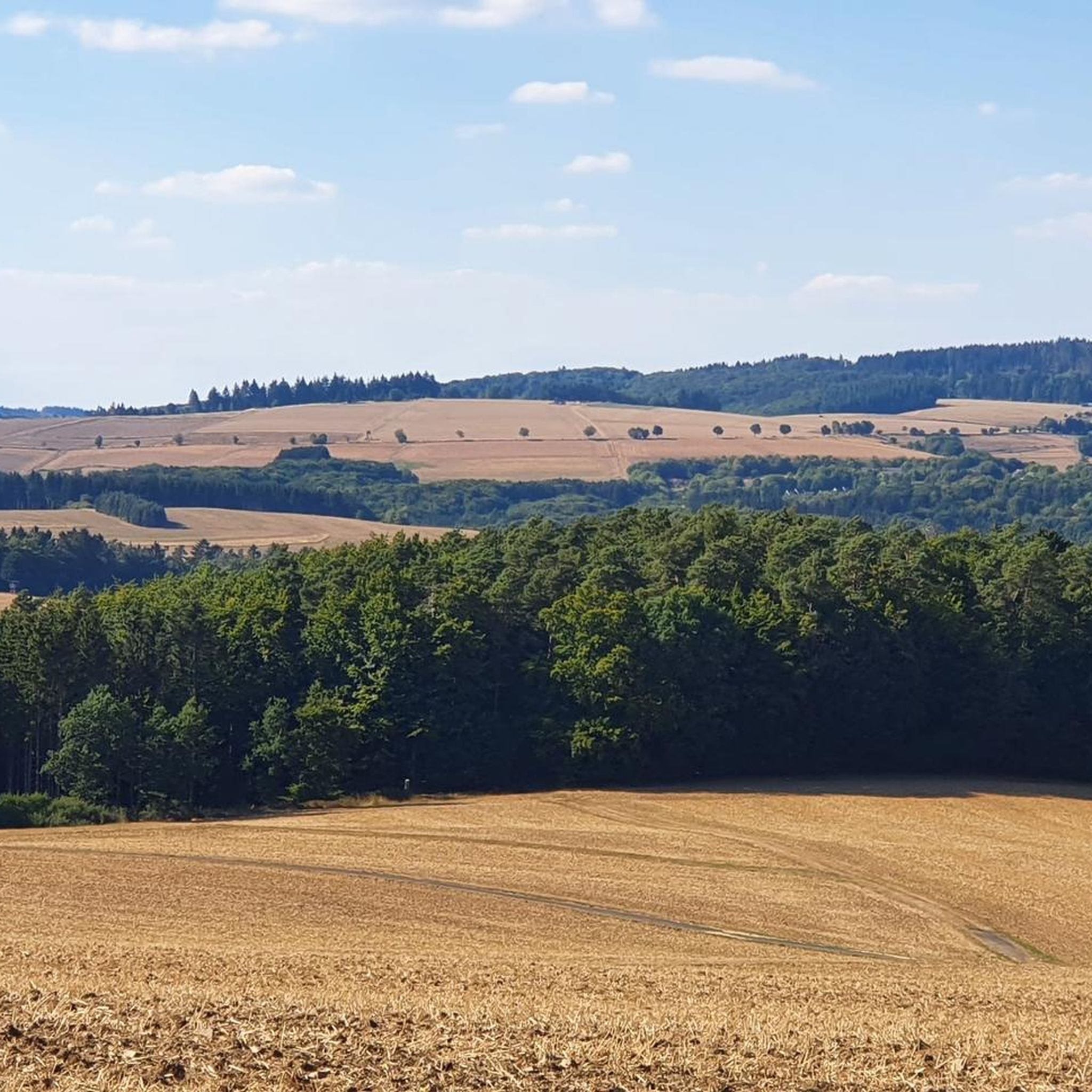
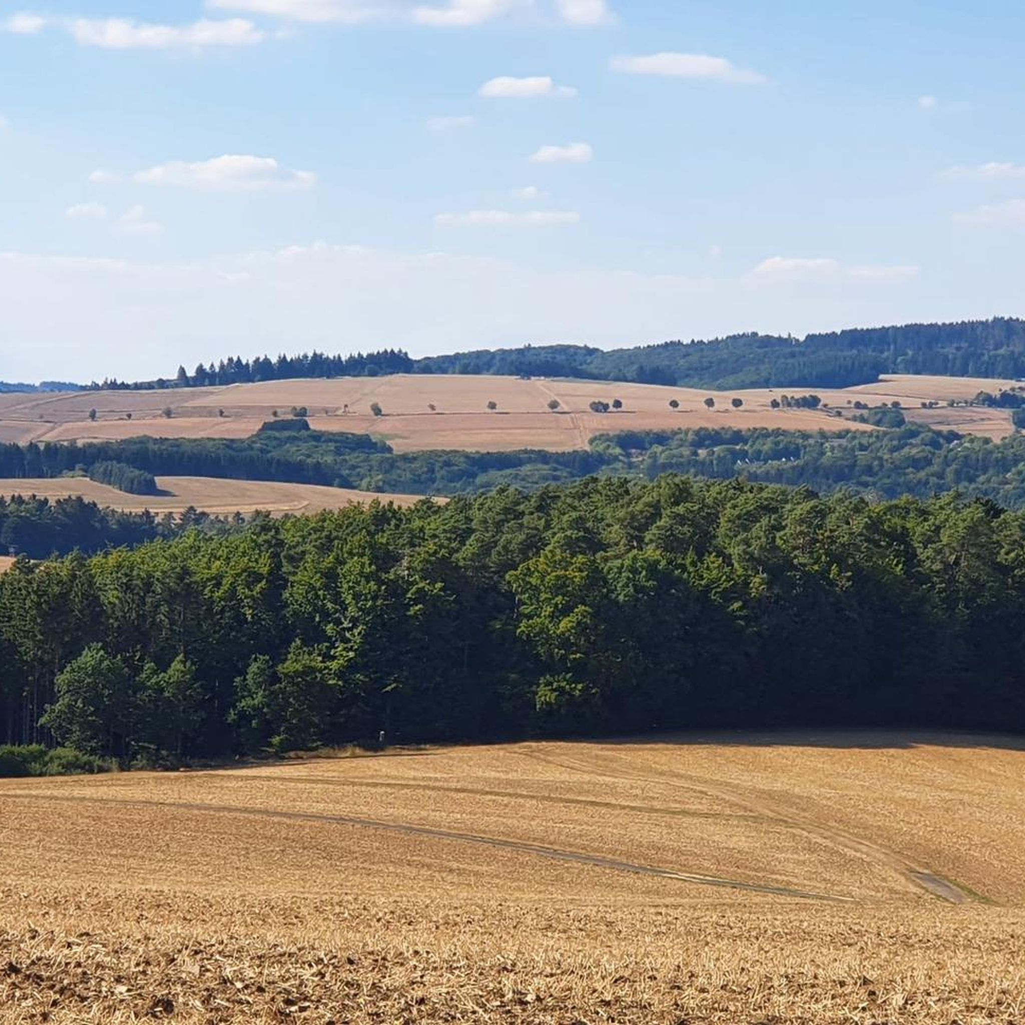
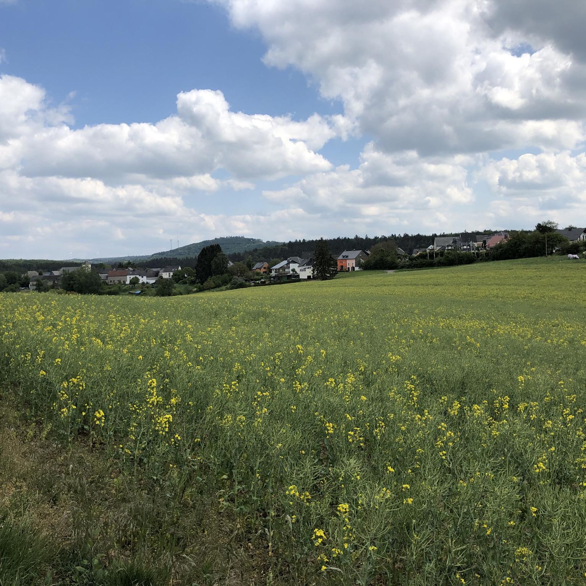
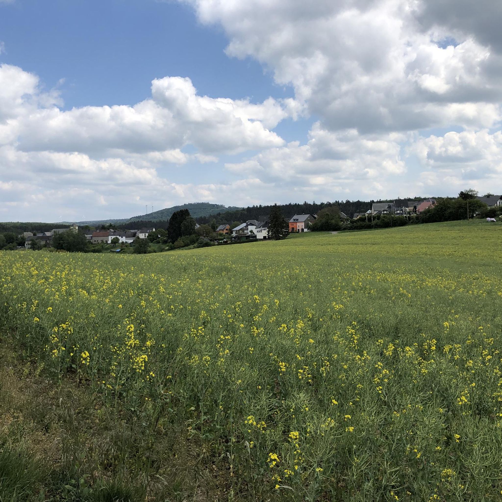
Tips from the Community

Unfortunately, the fountain can only be reached with a daring jump over a ditch, which was too risky for me. So I only photographed it a little from the path. A small crossing aid would be desirable here, especially if you point out this highlight with a sign 🤷🏼♀️
0
0

Great destination for families with children, it's worth it👍🏽👌🏽
1
0

A beautiful former railway bridge. It's beautiful to look at from both above and below.
1
0

good bakery
0
0
Showing its age! Could do with a clean-up
2
0


Quiet road between Arbach and Salcherath for racing bikes!
0
0

The "Signal Box" in Daun - for me a place full of childhood memories. I have walked over the tracks and the donkey bridge countless times, always with one clear goal: the ice cream parlor. Back then, the path seemed like a little adventure, the ups and downs over the bridge and the view of the tracks that brought so much life to the village. Much has changed today, but the "Signal Box" remains a place where all these memories come alive for me.
0
0
Frequently Asked Questions
How many road cycling routes are available around Höchstberg?
There are over 200 road cycling routes around Höchstberg, offering a wide range of options for different skill levels. You'll find 6 easy routes, 112 moderate routes, and 91 difficult routes to explore.
What kind of terrain can I expect on road cycling routes near Höchstberg?
Road cycling around Höchstberg is characterized by its unique volcanic landscape. You can expect significant elevation changes, challenging climbs, and rewarding descents. The routes traverse extensive forests, meadows, and stream valleys, often on well-developed, paved paths, providing a visually stimulating and varied ride.
Are there routes suitable for beginners or less experienced road cyclists?
Yes, Höchstberg offers several routes suitable for beginners. While the region is known for its challenging terrain, there are 6 easy routes available. For example, the St. Antonius Church – Bergkrone Mine Tunnel loop from Gunderath is a moderate 10.7-mile (17.3 km) trail that provides a good introduction to the area's volcanic landscape.
Are there challenging routes for experienced road cyclists?
Absolutely. The volcanic terrain of Höchstberg and the broader Vulkaneifel region naturally provides significant elevation changes, making for demanding road cycling experiences. There are 91 difficult routes available, with some featuring over 1,000 meters of elevation gain. These routes offer a true test for experienced riders.
What natural features or landmarks can I see along road cycling routes in Höchstberg?
The region is rich in natural beauty and geological wonders. Along your rides, you might encounter features like the Rausch Waterfall, the unique Boos Lava Bomb, or the serene Ulmener Maar (a volcanic lake). You can also discover historical sites like the Upper Castle of Ulmen.
Are there good viewpoints accessible from road cycling routes?
Yes, the elevated position of Höchstberg and the surrounding Vulkaneifel offers impressive panoramic views. The "Eifel-Blick Höchstberg" at 530 meters provides a magnificent vista, with the Hohe Acht visible on the northern horizon. Another notable viewpoint is the Boos Eifel Observation Tower, offering excellent scenic breaks during your ride.
Is parking available for road cyclists in Höchstberg?
While specific parking areas for road cyclists are not detailed, the villages around Höchstberg, such as Gunderath and Lirstal, typically offer public parking options. It's advisable to check local signage upon arrival for designated parking spots.
Can I reach the road cycling routes around Höchstberg by public transport?
The Vulkaneifel region has some public transport connections, but direct access to all road cycling route starting points might be limited. It's recommended to research local bus services or regional trains to nearby towns and plan your route accordingly, especially if you're bringing your bike.
Are there places to stop for refreshments along the routes?
Yes, many road cycling routes in the Vulkaneifel traverse quiet Eifel villages. These villages often have local cafes, pubs, or guesthouses where you can stop for refreshments, a meal, or even accommodation. It's a great way to experience the local culture and refuel during your ride.
What do other road cyclists enjoy most about the routes around Höchstberg?
The road cycling routes around Höchstberg are highly rated by the komoot community, with an average score of 4.6 stars from over 180 reviews. Cyclists often praise the varied volcanic terrain, the scenic views, and the well-maintained paved paths that make for an enjoyable and challenging experience.
Are there family-friendly road cycling options in Höchstberg?
While many routes feature significant elevation changes, there are easier and moderate options available that could be suitable for families with older children or those looking for a less strenuous ride. The region's well-developed network of paths often allows for choosing routes away from heavy traffic, enhancing safety for families.
Are road cycling routes around Höchstberg suitable for cycling with dogs?
Road cycling with dogs can be challenging due to the speeds involved and potential traffic. While the region offers many natural paths, specific road cycling routes are generally not designed for accompanying dogs. If you wish to bring your dog, consider exploring dedicated walking or hiking trails in the area instead, where they can safely run alongside you or be on a leash.
Are there any circular road cycling routes around Höchstberg?
Yes, many of the road cycling routes around Höchstberg are designed as loops, allowing you to start and end at the same point. Examples include the popular Geisberg – Bergkrone Mine Tunnel loop from Gunderath and the Upper Castle of Ulmen – Kasper from the Town Hall Statue loop from Lirstal, which offer varied terrain and scenic views.
Most popular routes around Höchstberg
Most popular attractions around Höchstberg

Get inspired with the komoot mobile app


Explore more
Browse the best Road cycling routes in other regions.
