The best MTB trails in Endmoränenlandschaft Ringenwalde
4.7
(45)
155
riders
41
rides
Mountain biking in Endmoränenlandschaft Ringenwalde offers diverse terrain characterized by rolling hills, dense forests, and a network of lakes. The region, part of the Uckermark, features varied landscapes suitable for different skill levels. Cyclists can expect a mix of well-maintained paths and more challenging sections with varied surfaces. The area's geographical features provide conditions for engaging mountain bike trails.
Best mountain bike trails in Endmoränenlandschaft Ringenwalde
- The most popular mountain bike trail is Bench with a View of Lübbesee –…
Last updated: June 28, 2026
5.0
(2)
5
riders
Moderate mountain bike ride. Good fitness required. Advanced riding skills necessary.
2
riders
45.6km
03:26
270m
270m
Moderate mountain bike ride. Good fitness required. Advanced riding skills necessary.

Sign up for free
62.2km
04:19
380m
380m
Moderate mountain bike ride. Good fitness required. Advanced riding skills necessary.
4.0
(2)
3
riders
43.9km
02:53
210m
210m
Moderate mountain bike ride. Good fitness required. Advanced riding skills necessary.
5.0
(1)
4
riders
Easy mountain bike ride. Great for any fitness level. Suitable for all skill levels.
Get access to more routes and recommendations from other explorers.
Sign up for free
Already have an account?
Our route recommendations are based on thousands of hikes, rides, and runs completed by other people on komoot.
Start today with a free account
Your next adventure awaits.
Login or Signup

Tips from the Community

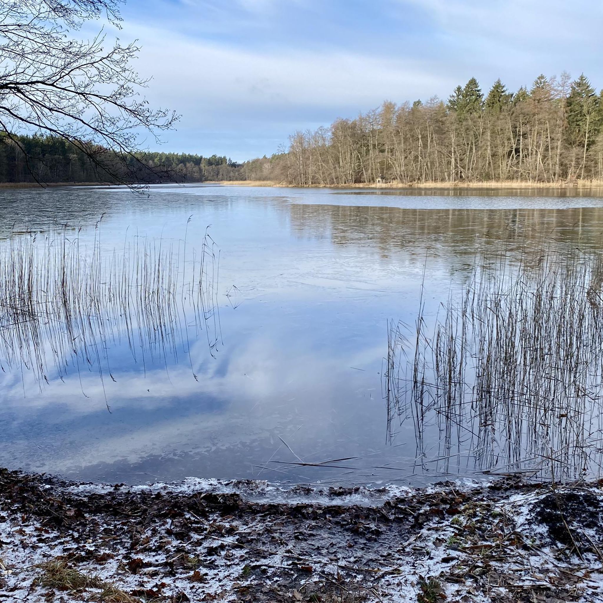
The lake is a classic channel from the last ice age. What is special is its enormous depth: with up to 60 meters, it is the second deepest lake in Brandenburg after the Stechlinsee. It is about 13 km long, but only a good kilometer wide, which almost gives it the appearance of a Norwegian fjord.
0
0


The wooden bridge, built in 2001, spans the Werbellin Canal between Eichhorst and Lake Werbellin. On the right side, toward the lake, there are a few beautiful trails.
2
0

so many lakes and stitches ... my Brandenburg
0
0

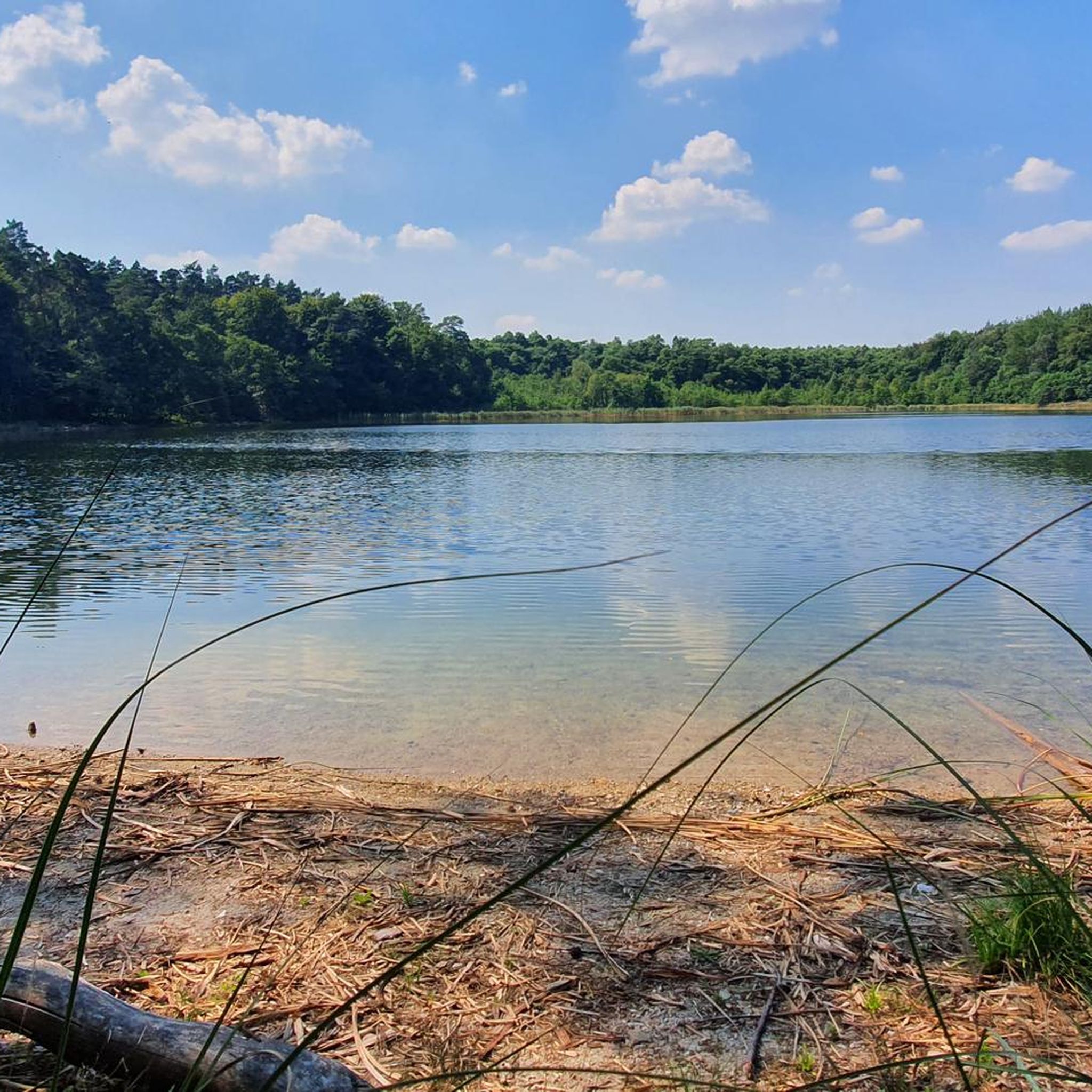
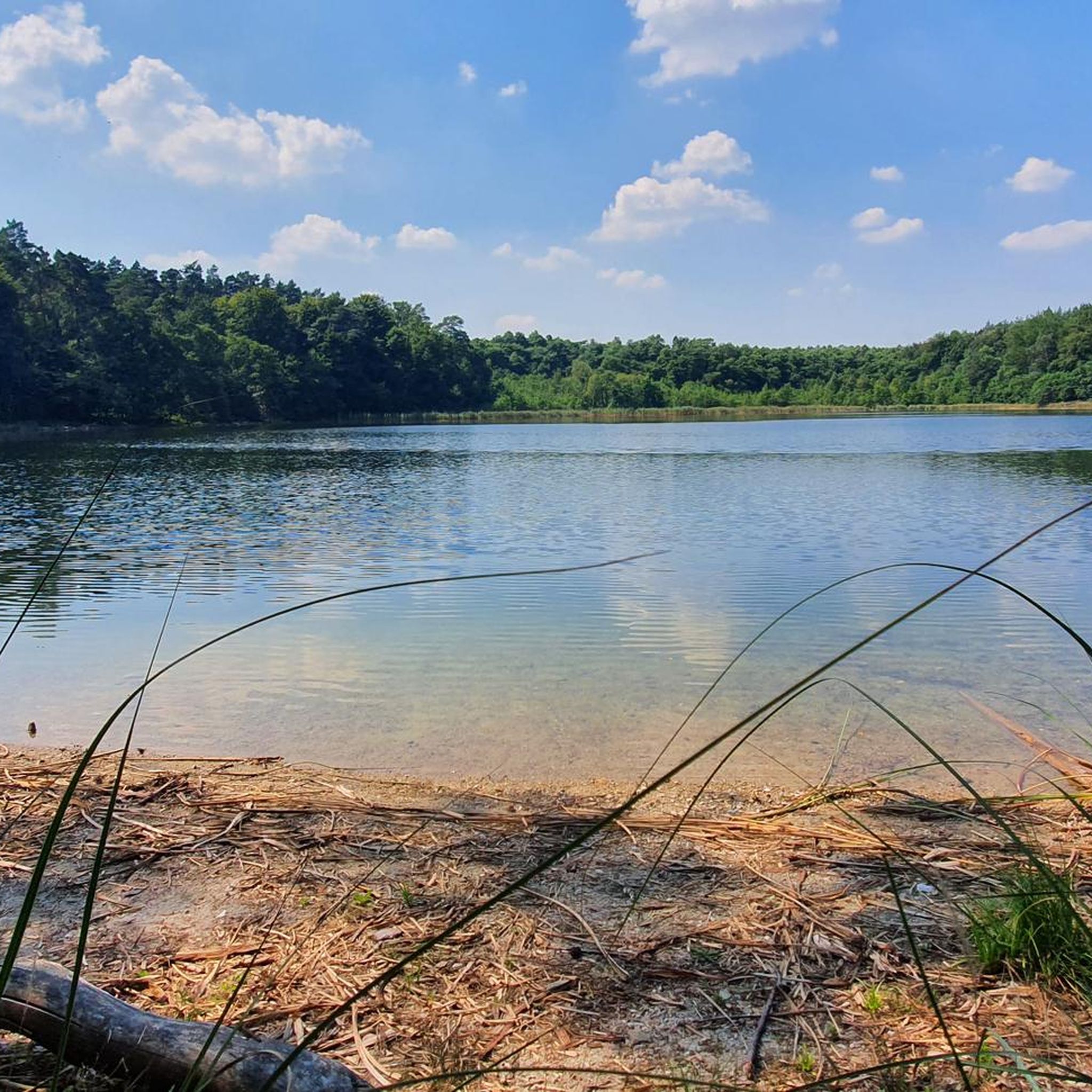
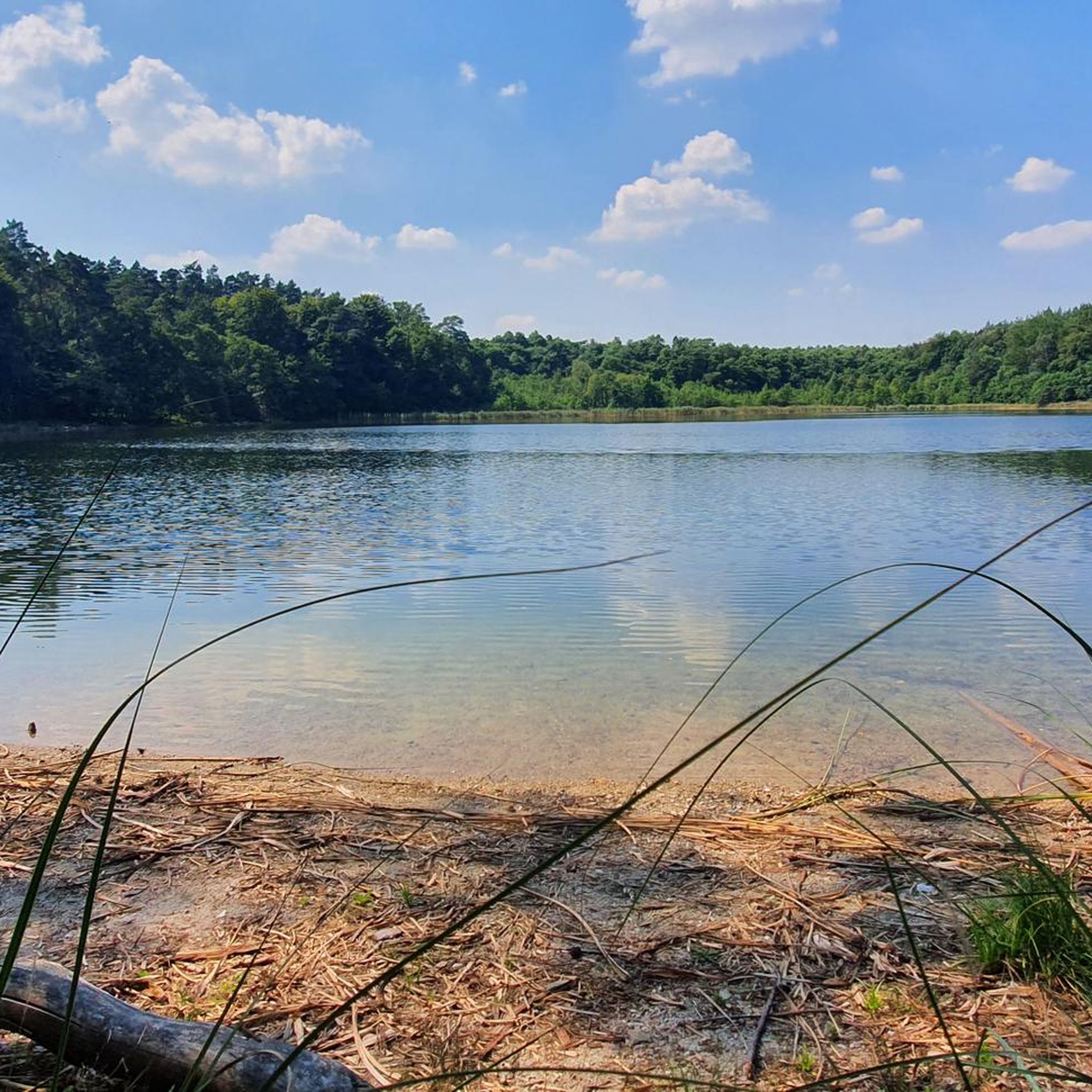
The grassy forest path leads straight ahead to the beautiful swimming spot. It's the only one on the lake that truly deserves its name and is easily accessible. Beware: The spot is incredibly romantic and offers magnificent views of three small huts on the lake (opposite shore) and a circular island that's not even marked on most maps.
0
0


Frequently Asked Questions
What kind of terrain can I expect when mountain biking in Endmoränenlandschaft Ringenwalde?
The Endmoränenlandschaft Ringenwalde offers a diverse landscape characterized by rolling hills, dense forests, and a network of numerous lakes. You'll encounter a mix of well-maintained paths and more challenging sections with varied surfaces, including some cobblestones or sandy stretches, providing a varied and engaging experience for mountain bikers.
How many mountain bike trails are available in Endmoränenlandschaft Ringenwalde?
There are over 40 mountain bike trails in Endmoränenlandschaft Ringenwalde listed on komoot, catering to various skill levels. This includes 5 easy routes and 35 moderate routes, ensuring options for both beginners and experienced riders.
Are there any family-friendly mountain bike routes in Endmoränenlandschaft Ringenwalde?
Yes, Endmoränenlandschaft Ringenwalde offers several family-friendly options. There are 5 easy routes that are suitable for families or those looking for a more relaxed ride. These paths are generally well-maintained and allow for an enjoyable experience amidst nature. An example of an easy route is Forest Path North of Fährsee – Pioneer Bridge, Templin loop from Milmersdorf.
What are some notable natural features or viewpoints I can see along the mountain bike trails?
The region is rich in natural beauty. You can enjoy picturesque surroundings along the Stabs Lake or the Libbesickesee swimming spot. Many routes offer scenic views of lakes like Oberuckersee and Werbellinsee. The Bench near Libbersicht viewpoint is another spot to take in the landscape.
Can I bring my dog on the mountain bike trails in Endmoränenlandschaft Ringenwalde?
While the region is generally dog-friendly, especially in natural areas like Endmoränenlandschaft Ringenwalde, it's always recommended to keep your dog on a leash, especially when cycling through forests or near wildlife. This ensures safety for your pet, other trail users, and the local fauna.
What is the best time of year for mountain biking in Endmoränenlandschaft Ringenwalde?
Spring and summer are particularly recommended for mountain biking in Endmoränenlandschaft Ringenwalde. During these seasons, you can expect pleasant temperatures and nature in full bloom, enhancing the scenic beauty of your ride.
Are there any long-distance loop trails for mountain biking in the area?
Yes, there are several loop trails that offer longer rides. For example, the South Tip of Oberuckersee – Potzlow Lakeside Dock loop from Götschendorf is a 38.6-mile (62.2 km) route, and the Reihersdorf forestry – Großer Tiefer Grund loop from Temmen covers 27.7 miles (44.6 km).
Where can I find parking for mountain biking in Endmoränenlandschaft Ringenwalde?
Parking options are generally available in and around the villages that serve as starting points for many trails, such as Ringenwalde (bei Templin) or Götschendorf. Look for designated parking areas near trailheads or village centers.
How can I reach Endmoränenlandschaft Ringenwalde by public transport for mountain biking?
While Endmoränenlandschaft Ringenwalde is a rural area, it can be accessed via regional public transport. You may need to combine train and bus services to reach the smaller villages that serve as trail starting points. It's advisable to check local transport schedules in advance, especially regarding bike carriage policies.
What do other mountain bikers enjoy most about the trails in Endmoränenlandschaft Ringenwalde?
The mountain bike trails in Endmoränenlandschaft Ringenwalde are highly rated by the komoot community, with an average score of 4.7 stars from over 40 reviews. Riders often praise the varied terrain, the beautiful natural landscapes with numerous lakes and forests, and the options available for different skill levels.
Are there any specific regulations or permits required for mountain biking in the nature reserves within Endmoränenlandschaft Ringenwalde?
Endmoränenlandschaft Ringenwalde is part of the Uckermark region, which includes protected areas like the Schorfheide-Chorin Biosphere Reserve. While general access for cycling is often permitted on designated paths, it's always best to respect local signage and regulations, especially concerning nature protection and staying on marked trails. No specific permits for mountain biking are generally required on public trails, but always check for any local restrictions.
Most popular routes in Endmoränenlandschaft Ringenwalde
Most popular attractions in Endmoränenlandschaft Ringenwalde

Get inspired with the komoot mobile app


Explore more
Browse the best MTB trails in other regions.
