The best walks and hikes in Reiersdorf
4.5
(1355)
4,451
hikers
232
hikes
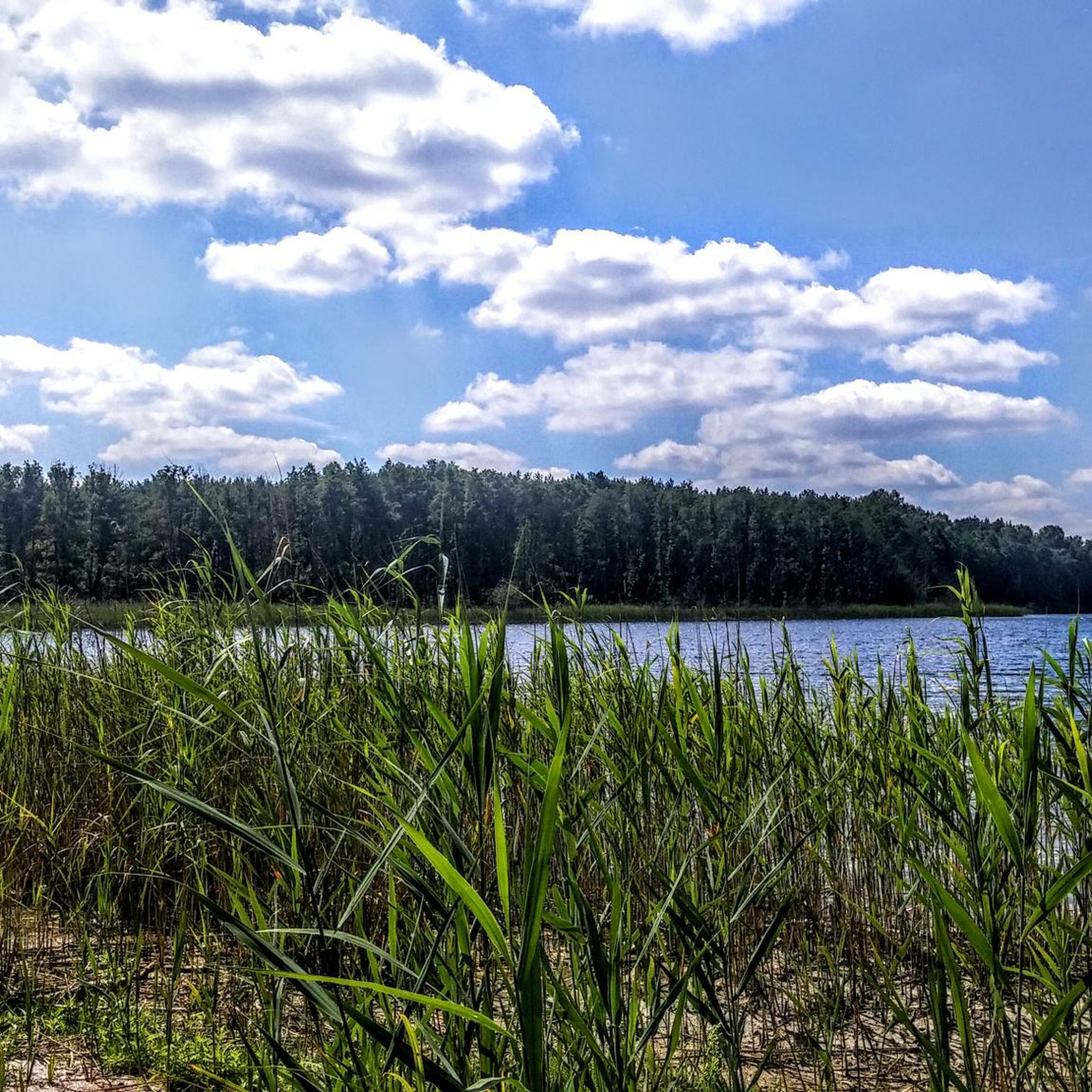
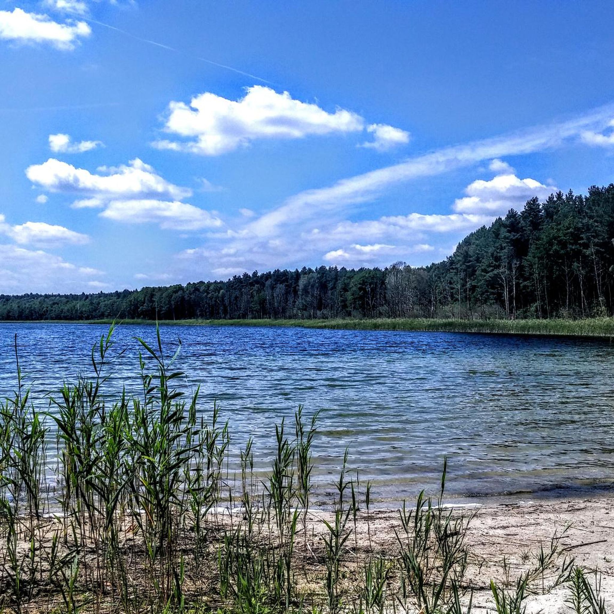
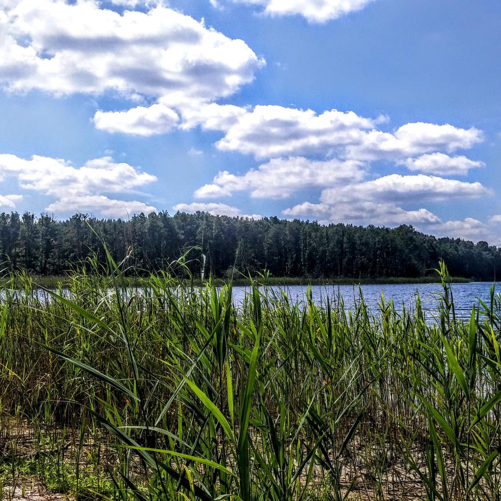
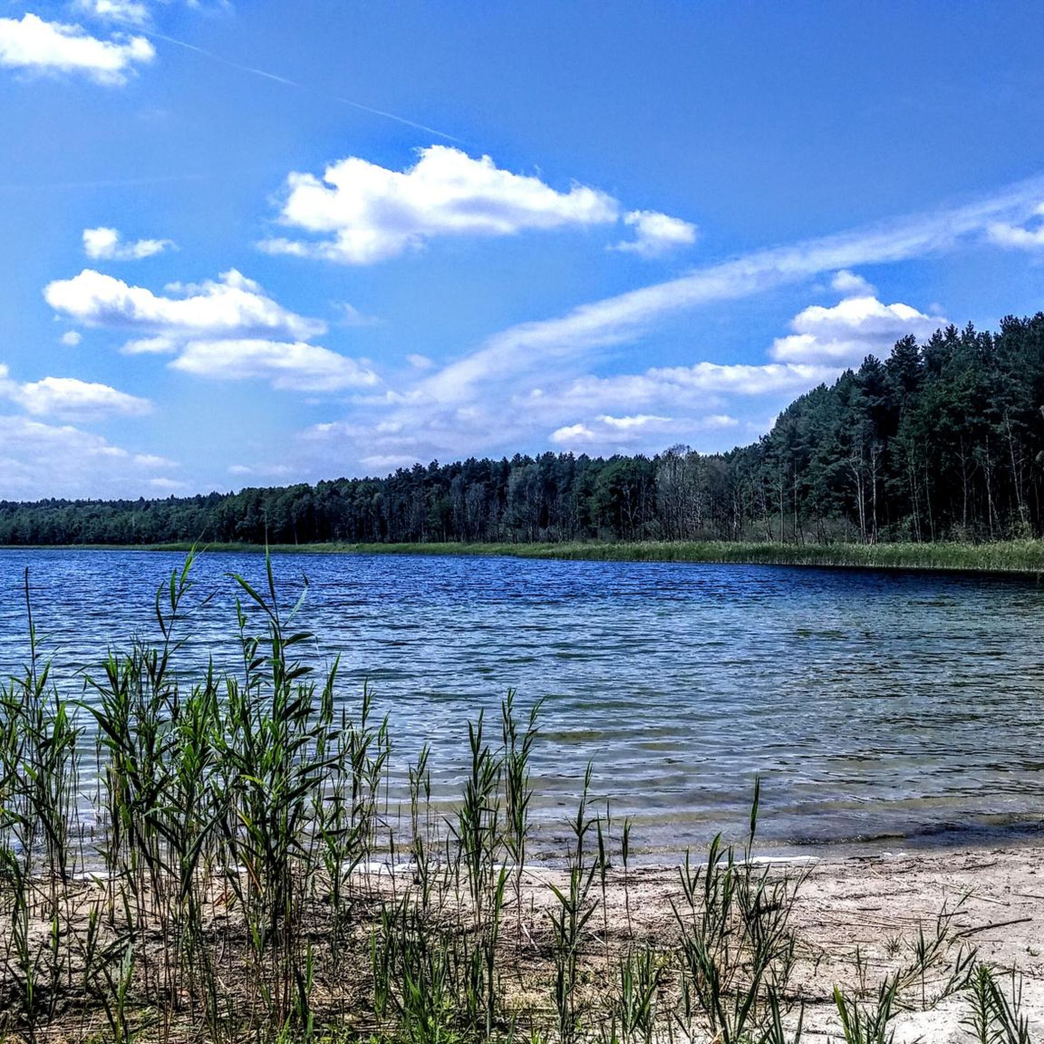
Hiking trails in Reiersdorf are situated within a diverse landscape characterized by rolling hills and natural reserves. The region features a mix of woodlands, open fields, and bodies of water such as Lake Gollinsee. Elevations are generally low, with gentle gradients across the terrain.
Best hiking trails in Reiersdorf
- The most popular hiking route is Reiersdorfer Forst Rest Area – Reiersdorf Nature Reserve loop from Reiersdorf, an easy 3.0 miles (4.8 km) trail that takes 1 hour 15 minutes…
Last updated: August 23, 2026
5.0
(1)
4
hikers
Easy hike. Great for any fitness level. Easily-accessible paths. Suitable for all skill levels.
4.0
(9)
37
hikers
Moderate hike. Good fitness required. Easily-accessible paths. Suitable for all skill levels.

Sign up for free
4.6
(14)
45
hikers
Moderate hike. Good fitness required. Easily-accessible paths. Suitable for all skill levels.
4.0
(4)
9
hikers
Easy hike. Great for any fitness level. Easily-accessible paths. Suitable for all skill levels.
3
hikers
Moderate hike. Good fitness required. Easily-accessible paths. Suitable for all skill levels.
Get access to more routes and recommendations from other explorers.
Sign up for free
Already have an account?
Our route recommendations are based on thousands of hikes, rides, and runs completed by other people on komoot.
Start today with a free account
Your next adventure awaits.
Login or Signup
Tips from the Community

Picnic spot
0
0

At the artistically designed circle, there is also a rest area and you can park your car. If the limited space is not sufficient, the two main axes of the charming village offer ample opportunities. There is also space behind the village. You can and are even allowed to drive on a public gravel path to Groß Väter. Bebersee lies very quietly and secluded in a charming mixed forest environment. Although we are already in the Uckermark district, the whole area looks more like the typical Schorfheide. - Fascinating.
0
0
The striking circular square, with a bus stop on the side, welcomes all arrivals arriving from the L100 or from Gollin. Very appealing, worth seeing, and informative! There's a fat carved beaver figure to admire, as well as several steles with excerpts from a local author. Erna Taege-Röhnisch (1909–1998) wrote primarily in Low German. Her bust is also on display in the circular plaza.
0
0
Architecturally, it's the most striking building in Bebersee, where all the houses along the main road are listed. The tall, thick trees in front of it lend the former schoolhouse a special character. The interior is currently being renovated. Presumably privately owned, although there's no name on it and no fence.
0
0

nice big rest area 🌳👍🏼
0
0

Swimming is prohibited here due to nature conservation. The lake is home to rare and protected species.
0
0

There is a huge gingko tree here. It was planted over 200 years ago. An information board explains this. In Dargersdorf there are also various young gingkos with boards.
0
0

A beautiful bathing area with a wooden jetty at the eastern end of Lake Lübbe.
2
0
Frequently Asked Questions
How many hiking trails are available in Reiersdorf?
Reiersdorf offers a wide variety of hiking options, with over 230 routes available. These trails traverse diverse landscapes, including woodlands, open fields, and areas around bodies of water like Lake Gollinsee.
What is the general terrain like for hiking in Reiersdorf?
The terrain in Reiersdorf is characterized by rolling hills and picturesque landscapes, with generally low elevations and gentle gradients. You'll find a mix of woodlands, open fields, and scenic views, making for a varied and enjoyable hiking experience.
Are there easy hiking trails suitable for beginners or families in Reiersdorf?
Yes, Reiersdorf has many easy trails perfect for beginners or families. For example, the Reiersdorfer Forst Rest Area – Reiersdorf Nature Reserve loop from Reiersdorf is an easy 4.8 km route that explores local forests and nature. Overall, there are 110 easy routes to choose from.
Are there any circular hiking routes in Reiersdorf?
Many of the trails in Reiersdorf are circular, allowing you to start and end at the same point. A popular option is the View of Lake Gollinsee – Großer Golinsee Bathing Area loop from Bollwinwiesen/ Großer Gollinsee, which offers scenic views and leads to a bathing area.
What kind of natural features or landmarks can I expect to see on the trails?
Hiking in Reiersdorf allows you to experience diverse natural features. You can expect to see woodlands, open fields, and views of lakes such as Lake Gollinsee. The region is known for its rolling hills and picturesque landscapes. Additionally, you might encounter historical points like the Reihersdorf forestry or the Living Unity Monument.
What is the best time of year to go hiking in Reiersdorf?
Spring and autumn are particularly recommended for hiking in Reiersdorf. During these seasons, nature is at its most vibrant, with colorful flowers in spring and golden hues from changing leaves in autumn, enhancing the scenic beauty of the trails.
Are there any trails that offer views of Lake Gollinsee?
Yes, several trails offer beautiful views of Lake Gollinsee. The View of Lake Gollinsee – Großer Golinsee Bathing Area loop from Bollwinwiesen/ Großer Gollinsee is a moderate 7.9 km path specifically designed to showcase the lake and lead to a bathing area.
What do other hikers enjoy most about the trails in Reiersdorf?
The trails in Reiersdorf are highly rated by the komoot community, with an average score of 4.5 stars from over 1200 reviews. Hikers often praise the diverse landscapes, the peaceful woodlands, and the scenic views of lakes and rolling hills that define the region.
Are there any longer or more challenging routes for experienced hikers?
While Reiersdorf is known for its gentle terrain, there are longer routes for those seeking a more extended excursion. For example, the Bench at Libbesickesee – Stabs Lake loop from Bollwinwiesen/ Großer Gollinsee is a moderate 15 km trail that offers a longer experience through the area's natural beauty.
Are there any historical points of interest along the hiking routes?
Yes, some routes pass by historical points. The Dargersdorf Church – Gut Gollin Farm and Pond loop from Bollwinwiesen/ Großer Gollinsee is a 9.6 km trail that leads through rural landscapes and past such historical sites, including the Dargersdorf Church.
What types of landscapes can I expect to hike through in Reiersdorf?
Reiersdorf's hiking routes take you through a diverse mix of landscapes. You'll experience tranquil woodlands, expansive open fields, and picturesque areas around bodies of water. The region's characteristic rolling hills provide a scenic backdrop for your hikes.
Most popular routes in Reiersdorf
Most popular attractions in Reiersdorf

Get inspired with the komoot mobile app


Explore more
Browse the best Hikes in other regions.
