The best MTB trails in Altmärkische Wische
4.5
(51)
182
riders
20
rides
Mountain biking in Altmärkische Wische offers routes through a largely flat and serene landscape, characterized by extensive Elbe meadows and floodplains. The region's gentle topography, with the highest elevation around 160 meters, means routes are more suited for relaxed cycling, gravel biking, or off-road touring rather than technical mountain biking. Many paths follow old drainage systems through former wetlands, providing an authentic natural experience along unpaved, sometimes gravel and grass-overgrown tracks.
Best mountain bike trails in Altmärkische Wische
- The most…
Last updated: October 1, 2026
4.3
(3)
10
riders
47.5km
02:50
90m
90m
Moderate mountain bike ride. Good fitness required. Suitable for all skill levels.
4.7
(10)
24
riders
45.5km
02:30
60m
60m
Moderate mountain bike ride. Good fitness required. Suitable for all skill levels.

5.0
(3)
25
riders
75.1km
04:14
130m
130m
Moderate mountain bike ride. Good fitness required. Suitable for all skill levels.
4.5
(8)
16
riders
22.8km
01:12
60m
60m
Easy mountain bike ride. Great for any fitness level. Suitable for all skill levels.
6
riders
Easy mountain bike ride. Great for any fitness level. Suitable for all skill levels.
Get access to more routes and recommendations from other explorers.
Already have an account?
Our route recommendations are based on thousands of hikes, rides, and runs completed by other people on komoot.
Start today with a free account
Your next adventure awaits.
Tips from the Community

Quiet place where you can only hear the storks clattering.
0
0

The bridge can be used by cyclists and pedestrians. It is open, as of 2026. From here, of course, you have a good view of the Elbe meadows and the city.
0
0
beautiful bridge over the Havel with a good view of the city's churches.
1
0

Ferry that connects Räbel and Havelberg.
0
0

The Gnevsdorf drainage canal is an approximately eleven-kilometer-long, artificially constructed canal between the Havel and Elbe rivers, serving as an additional outlet into the Elbe. Its design aimed to shift the Elbe's backwater level downstream to a lower level, thus effectively relieving pressure on the Lower Havel during floods. Simultaneously, the canal improves the flow of Havel water to the Elbe, which has a steeper gradient. The Gnevsdorf drainage canal is part of a comprehensive flood protection system that also includes several weirs and the Havelberg lock.
0
0
Rühstädt is known throughout Germany as the "Stork Village"—a reputation this idyllic Elbe village owes to its exceptionally high number of breeding white storks. Since 1996, Rühstädt has officially held the title "European Stork Village," awarded by the European Natural Heritage Foundation (Euronatur), and has since been considered an outstanding example of successful coexistence between people and nature. A central feature of the village is the NABU Visitor Center, which provides vivid information about the lives of storks and the ecological importance of the Elbe floodplains. A highlight of the year is the popular Stork Festival, which attracts visitors from near and far and celebrates the close connection between the village and its feathered summer guests. Today, Rühstädt stands as a symbol of successful species conservation and sustainable, nature-oriented village development. It impressively demonstrates how careful land use, dedicated nature conservation, and village tradition can work together to preserve a unique habitat—for storks and people alike.
1
0
The bridge over the Stepenitz is an important crossing just before the river flows into the Elbe. It connects central urban areas with adjacent residential and recreational areas and is used by vehicular traffic, pedestrians, and cyclists. Its location in the river and floodplain landscape offers unobstructed views of the Stepenitz and the surrounding countryside. It is a defining element of Wittenberge's cityscape.
1
0

From the lock, you can already see the first confluence of the Elbe and Havel rivers (connecting canal). From here, you continue on the approximately 20 km long section of the Havel Cycle Path, where you're accompanied by water on both sides: the Elbe on the left, the Havel on the right, and then the Gnevsdorf Outfall.
2
0
Frequently Asked Questions
How many mountain bike trails are available in Altmärkische Wische?
There are over 20 mountain bike routes in Altmärkische Wische listed on komoot. These routes cater to various skill levels, with 7 easy and 13 moderate options available.
What is the typical terrain like for mountain biking in Altmärkische Wische?
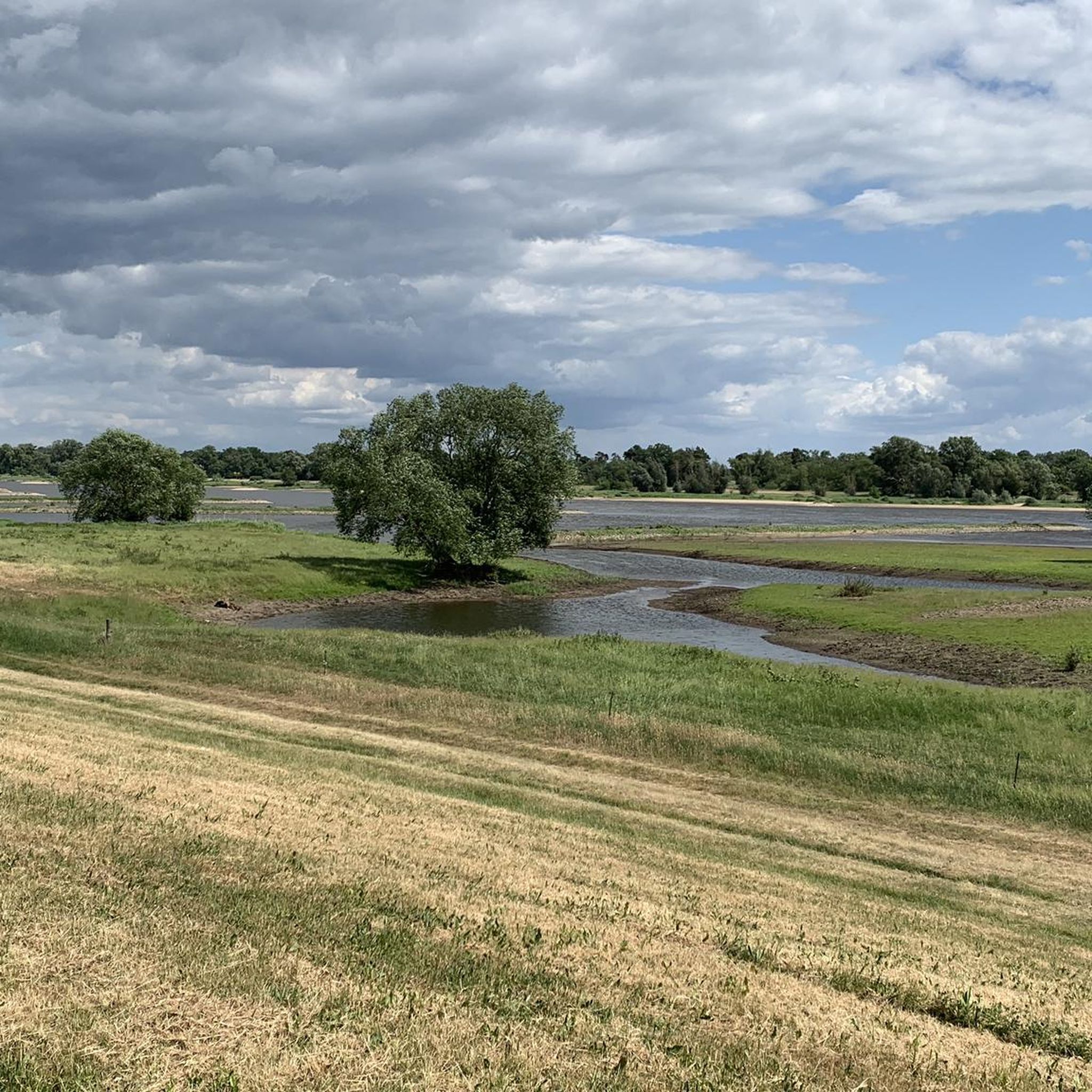
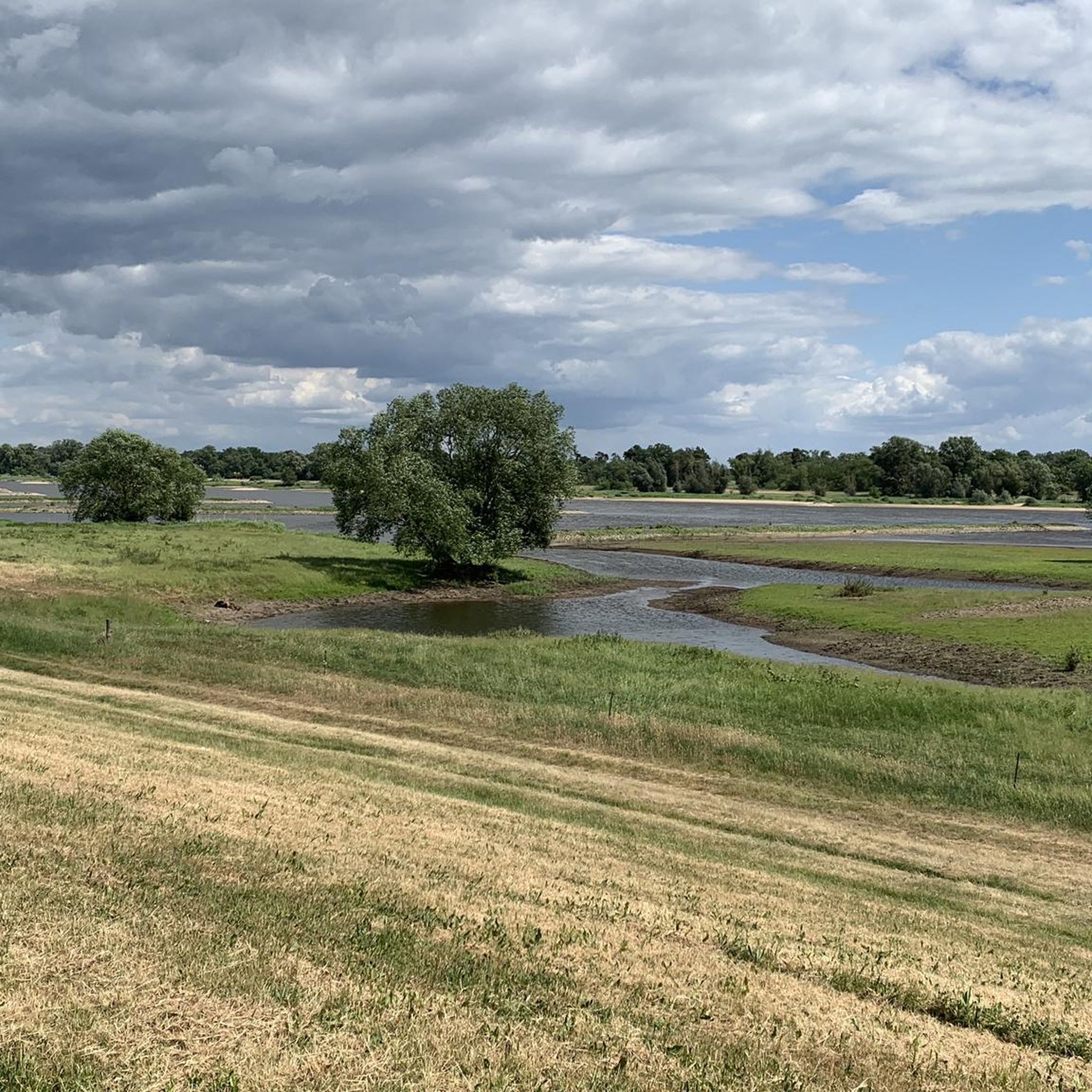
The terrain in Altmärkische Wische is largely flat and serene, characterized by extensive Elbe meadows and floodplains. While some paths might be unpaved, gravel, or grass-overgrown, they are generally firm. The region's gentle topography, with the highest elevation around 160 meters, means routes are more suited for relaxed cycling, gravel biking, or off-road touring rather than technical mountain biking with significant elevation changes.
Are there easy mountain bike trails suitable for beginners or less experienced riders?
Yes, Altmärkische Wische offers 7 easy mountain bike routes. An example is the Junction 1 Havelberg – B107 Bridge over the Havel loop from Havelberg, which covers 22.9 km and takes about 1 hour 13 minutes, offering a gentle introduction to the region's landscapes.
Can I find circular mountain bike routes in Altmärkische Wische?
Many of the mountain bike routes in Altmärkische Wische are designed as loops, allowing you to start and end at the same point. For instance, the Hafenblick Restaurant – Arneburg Ferry loop from Räbel is a popular 47.5 km circular trail exploring the Elbe River landscape.
Are the mountain bike trails in Altmärkische Wische suitable for families with children?
Given the largely flat terrain and the availability of easy routes, many trails in Altmärkische Wische are suitable for families. The focus is on relaxed cycling and nature observation rather than technical challenges, making it a pleasant experience for all ages. Consider routes like the St. Anne and Gertrude Chapel – B107 Bridge over the Havel loop from Havelberg, an easy 33.2 km loop.
What kind of natural features or landmarks can I expect to see on the trails?
The trails often lead through extensive Elbe meadows and floodplains, part of the UNESCO Middle Elbe Biosphere Reserve. You can observe diverse wildlife, including rare bird species like red kites and storks. Along the way, you might encounter cultural highlights such as the St. Nicholas Church Berge or cycle along the scenic Tree-Lined Road Between Werben and Räbel.
What is the best time of year to go mountain biking in Altmärkische Wische?
The region is ideal for cycling from spring through autumn. The Elbe meadows and floodplains are particularly beautiful during these seasons, offering pleasant temperatures for outdoor activities and excellent opportunities for birdwatching. Some paths might be unpaved, so drier conditions are generally more comfortable.
Are there places to eat or stay near the mountain bike trails in Altmärkische Wische?
While Altmärkische Wische is known for its serene natural landscapes, the broader Altmark region offers various cultural highlights and historic towns like Tangermünde and Havelberg, where you can find accommodation, cafes, and pubs. The region is well-equipped for cyclists, with many villages offering services.
What do other mountain bikers say about the trails in Altmärkische Wische?
The routes in Altmärkische Wische are highly rated by the komoot community, with an average score of 4.6 stars from over 40 reviews. Mountain bikers often praise the peaceful natural experience, the flat and accessible terrain, and the opportunities for nature observation along the Elbe and Havel rivers.
How long are the mountain bike trails typically in Altmärkische Wische?
The mountain bike trails in Altmärkische Wische vary in length. For example, the B107 Bridge over the Havel – Stepenitz Bridge loop from Havelberg is a longer route at 75.1 km, typically taking around 4 hours 7 minutes. Shorter options are also available, such as the 22.9 km Junction 1 Havelberg – B107 Bridge over the Havel loop from Havelberg.
Is Altmärkische Wische a good place for dog-friendly outdoor activities?
Altmärkische Wische's extensive natural landscapes, including meadows and floodplains, offer plenty of space for outdoor activities with dogs. However, as the area is part of the UNESCO Middle Elbe Biosphere Reserve and home to diverse, often endangered wildlife, it's crucial to keep dogs on a leash and respect local regulations to protect the natural environment.
What are the parking options for mountain bikers in Altmärkische Wische?
While specific parking areas for each trail are not detailed, the region is well-suited for cyclists, and you can typically find parking in or near the starting points of routes, especially in villages or near popular access points to the Elbe Cycle Path. Always check local signage for parking restrictions.
Can I reach the mountain bike trails using public transport?
The Altmärkische Wische region is accessible by public transport, though options might be limited in some of the smaller, more rural areas. Havelberg, a key starting point for several routes, has bus connections. It's advisable to check local bus schedules and routes in advance to plan your journey to the trailheads.
Most popular routes in Altmärkische Wische
Most popular attractions in Altmärkische Wische

Get inspired with the komoot mobile app


Explore more
Browse the best MTB trails in other regions.
