The best walks and hikes in Lenzen-Wustrower Elbniederung
4.6
(1039)
3,642
hikers
222
hikes
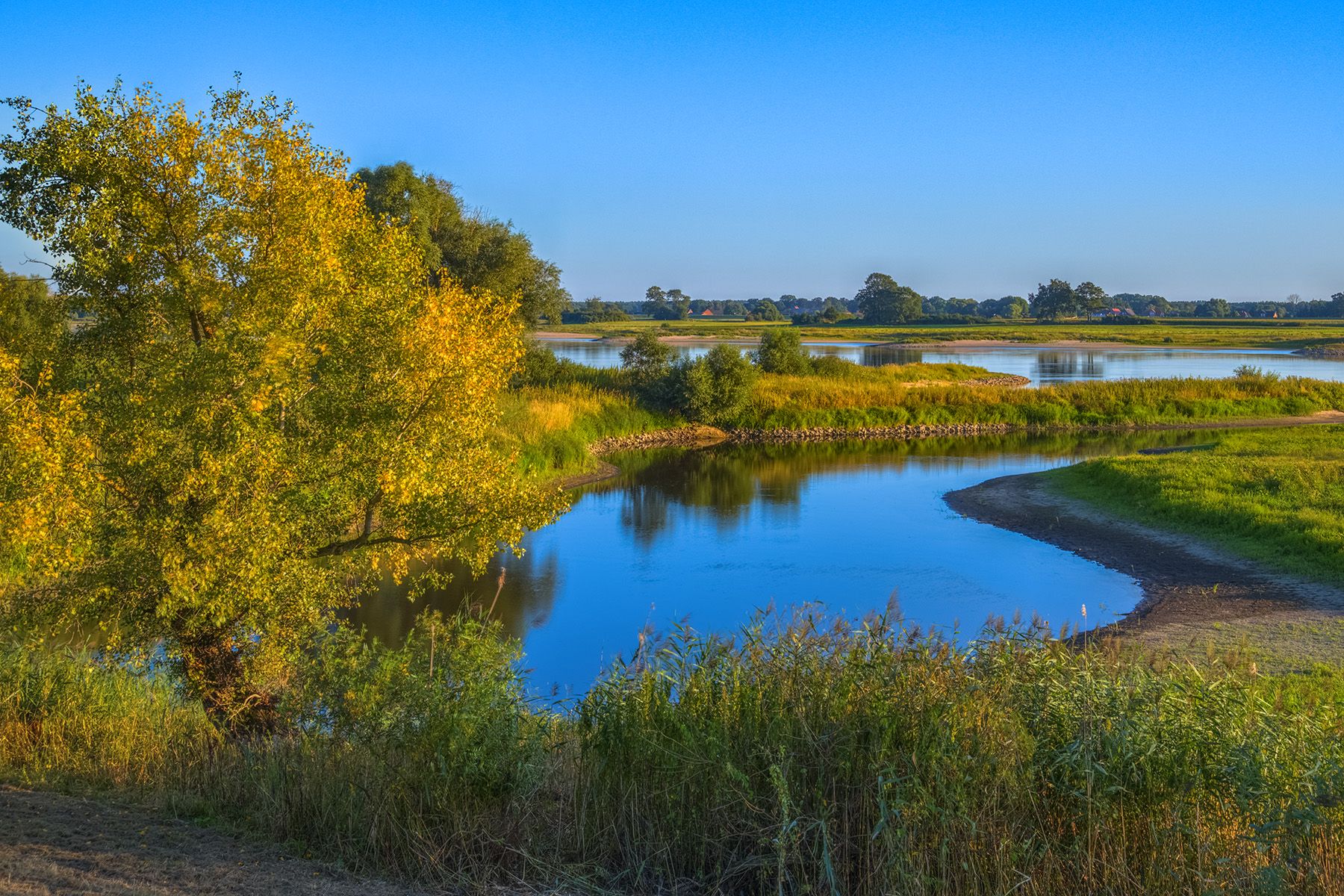
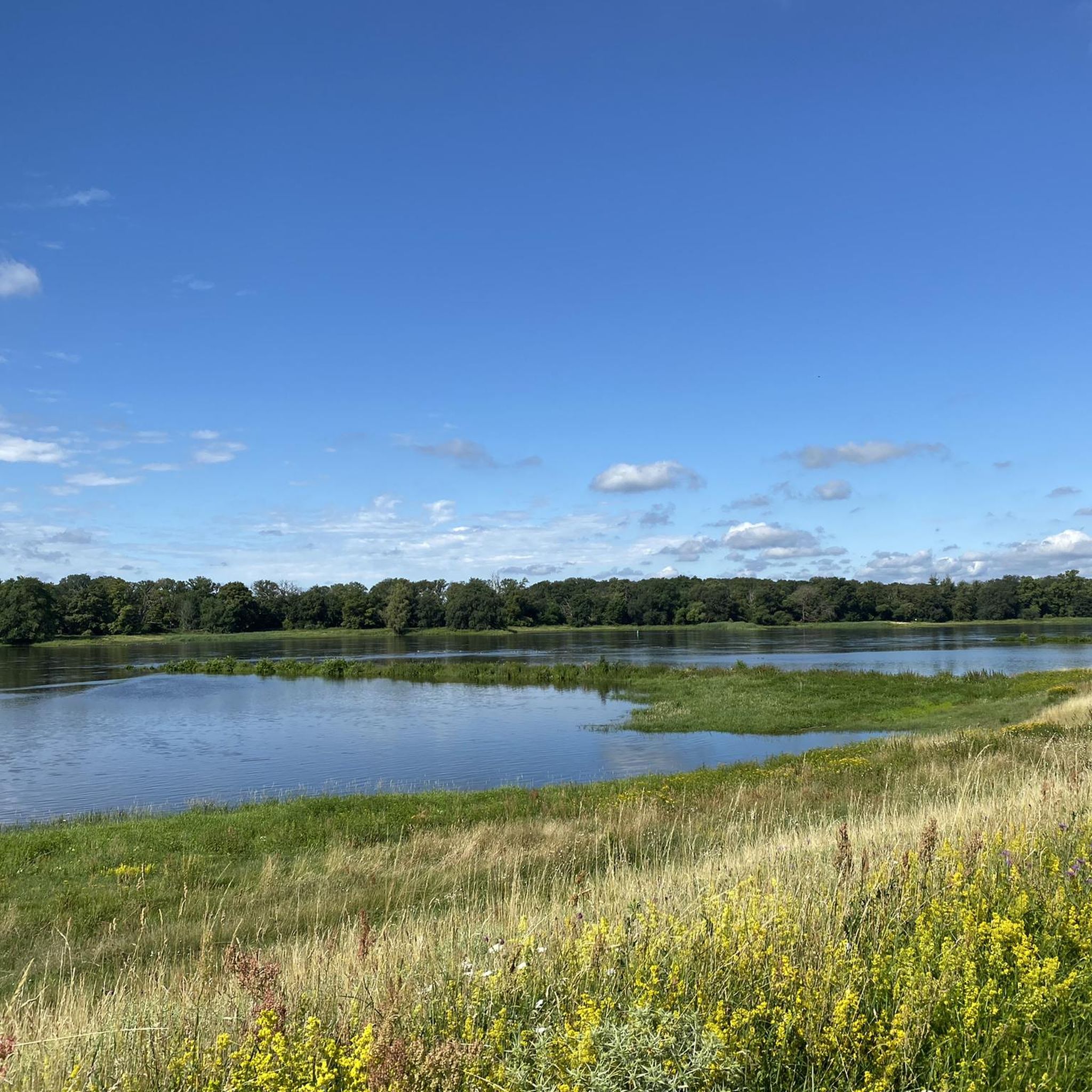
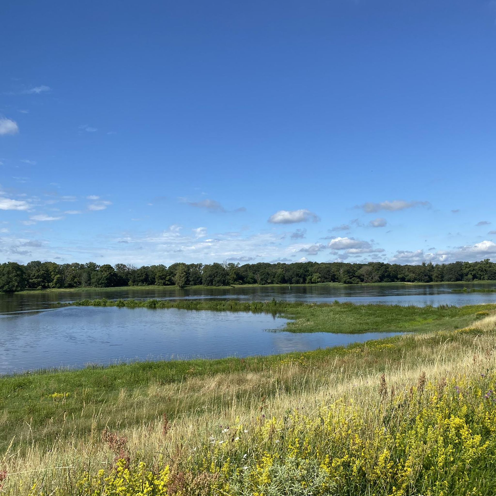
Hiking trails in Lenzen-Wustrower Elbniederung traverse a diverse landscape within the Brandenburg Elbe River Floodplain Biosphere Reserve. The region features expansive Elbe floodplains, partially renatured through conservation efforts, and includes riparian forests, fields, and traditional woodlands. This area is known for its high biodiversity, offering opportunities for wildlife observation. The terrain is generally flat, making it suitable for a range of hiking abilities.
Best hiking trails in Lenzen-Wustrower Elbniederung
- The most popular hiking route is Lenzen-Wustrower Elbniederung loop from Lenzen-Wustrower…
Last updated: October 1, 2026
4.9
(16)
64
hikers
6.68km
01:41
10m
10m
Easy hike. Great for any fitness level. Easily-accessible paths. Suitable for all skill levels.
4.9
(16)
64
hikers
6.83km
01:43
10m
10m
Easy hike. Great for any fitness level. Easily-accessible paths. Suitable for all skill levels.

4.5
(2)
6
hikers
Moderate hike. Good fitness required. Easily-accessible paths. Suitable for all skill levels.
4.5
(4)
12
hikers
Easy hike. Great for any fitness level. Easily-accessible paths. Suitable for all skill levels.
5.0
(3)
5
hikers
Moderate hike. Good fitness required. Easily-accessible paths. Suitable for all skill levels.
Get access to more routes and recommendations from other explorers.
Already have an account?
Our route recommendations are based on thousands of hikes, rides, and runs completed by other people on komoot.
Start today with a free account
Your next adventure awaits.
Popular around Lenzen-Wustrower Elbniederung
Other adventures in Lenzen-Wustrower Elbniederung

Tips from the Community

As already mentioned, you should stop here!
1
0

Attention: The Elbe ferry between Schnackenburg and Lütkenwisch is currently out of service until further notice due to a shortage of staff. There is no exact date yet for the resumption of the ferry service. (https://www.amtlenzen.de/seite/630582)
1
0

Nice observation point with view on both sides. Few meters higher than the area around. Open space all around. Access with gravel/mtb bike (35mm tyres minimum recommended). Most likely people around (shepherds, birds observers, fisherman pond close by with few cars parked).
0
0

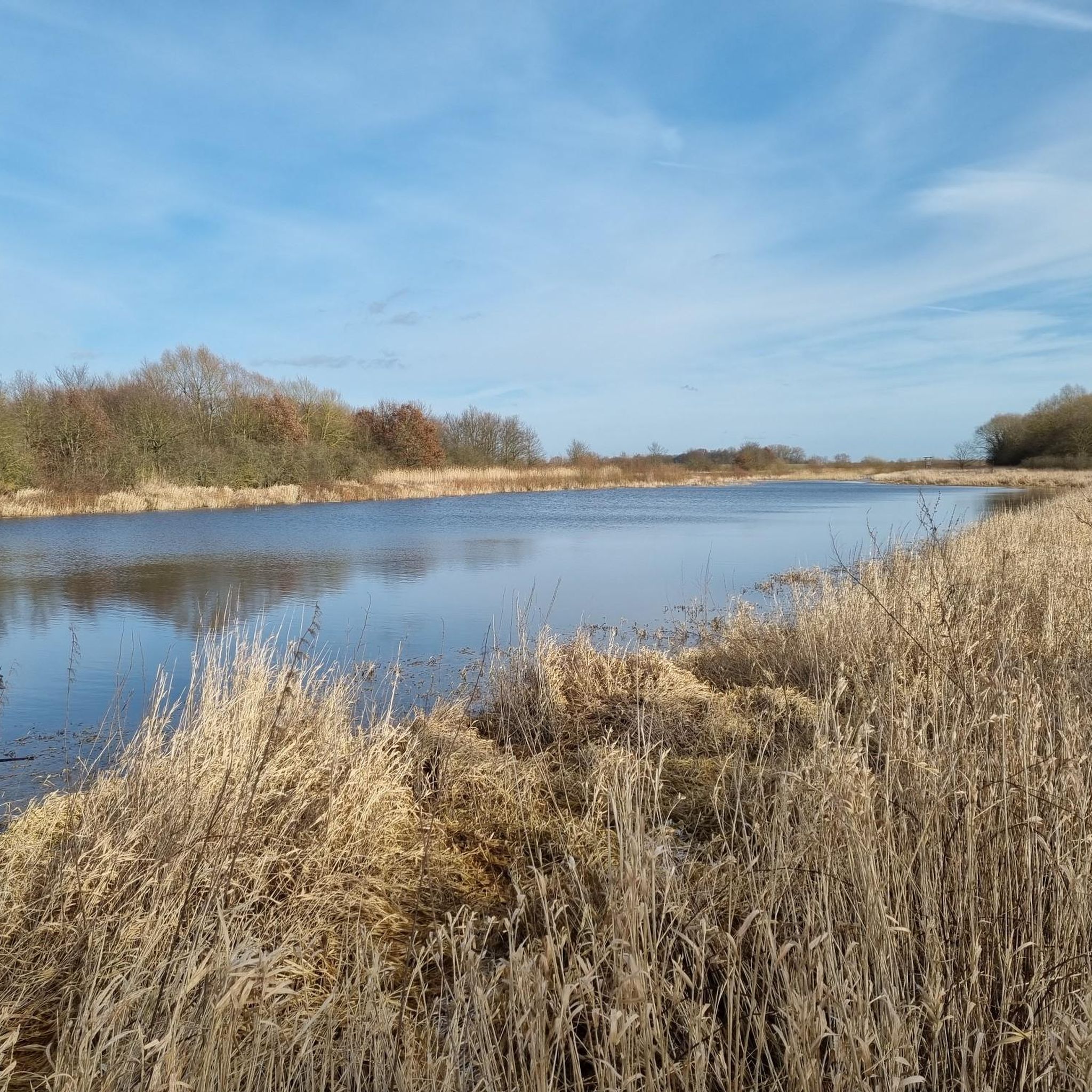
Actually, there are two lakes. Beautifully situated in the landscape, on the Green Belt, the former border strip between West Germany and East Germany. The beautiful river Aland also flows past here. Here you also have good opportunities to observe and photograph birds and wild animals. On my bike tours, I always enjoy cycling past here and like to make a stopover here.
0
0

There is also an information board here.
0
0

A visit to the interior is worthwhile.
0
0
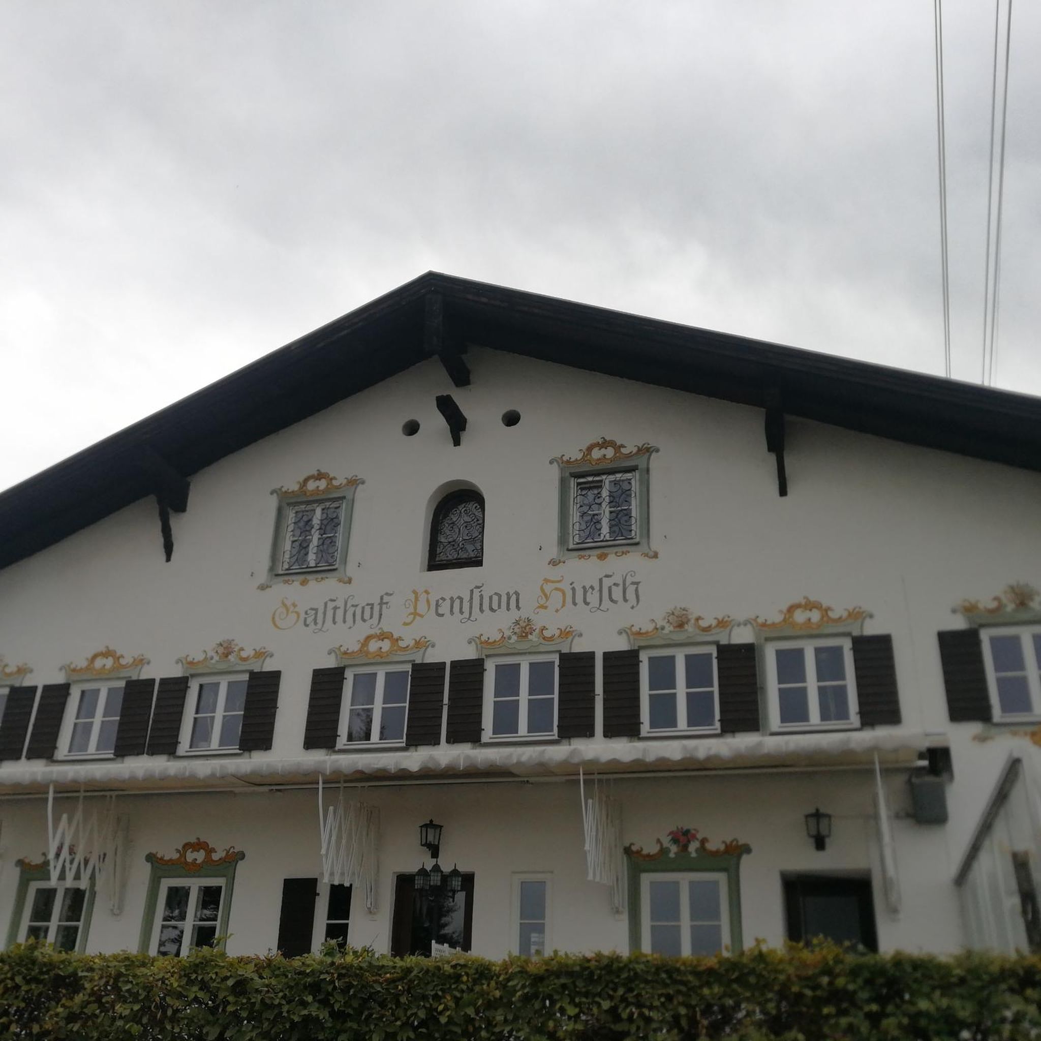
Good accommodation. Delicious food is served in the evening.
1
0
Observation of waterfowl and cranes is possible.
0
0
Frequently Asked Questions
How many hiking trails are available in Lenzen-Wustrower Elbniederung?
There are over 230 hiking routes in Lenzen-Wustrower Elbniederung, offering a wide range of options for different abilities and interests. You'll find everything from easy walks to more moderate excursions.
What is the best time of year to go hiking in Lenzen-Wustrower Elbniederung?
The best seasons for hiking are spring and autumn, when the weather is mild and the landscape is particularly vibrant. During summer, it's advisable to hike in the mornings or evenings to avoid the heat.
Are there easy hiking trails suitable for beginners or families?
Yes, the region is well-suited for easy hikes. With 93 easy routes, the terrain is generally flat and accessible, making it ideal for families and beginners. For example, the Bench on the Elbe Dike loop from Lanz is an easy 3.2-mile (5.2 km) path.
Are there any circular hiking routes in the region?
Many trails in Lenzen-Wustrower Elbniederung are circular, allowing you to start and end at the same point. An example is the Aulosen Observation Tower – Wanzer Post Mill loop from Schnackenburg, a moderate 11.6-mile (18.7 km) route that offers varied scenery.
What kind of wildlife can I expect to see while hiking?
The Lenzen-Wustrower Elbniederung is known for its exceptionally high biodiversity, especially within the Brandenburg Elbe River Floodplain Biosphere Reserve. If you approach calmly, you might spot various native and migratory bird species, Elbe beavers, otters, and wild boars.
Are there any notable viewpoints or landmarks along the trails?
Yes, the region offers several points of interest. The Brandenburg Elbe River Floodplain Biosphere Reserve itself is a significant natural feature. You can also visit the Lenzen Elbe Floodplain Conservation Project Information Board for insights into local conservation efforts, or the Hans-Georg Lemme Memorial Site near the ferry landing.
What do other hikers enjoy most about the trails in Lenzen-Wustrower Elbniederung?
The trails in Lenzen-Wustrower Elbniederung are highly rated by the komoot community, with an average score of 4.7 stars from over 900 reviews. Hikers often praise the diverse natural landscape, the peaceful Elbe floodplains, and the opportunities for wildlife observation.
Is it possible to hike along the Elbe River?
Absolutely. The region is defined by the Elbe River, and many trails follow the Elbe Dike, offering open views of the river landscape. The Elbe Dike at Brandenburgische Elbtalaue is a popular route for leisurely walks.
Are there any specific trails that highlight the renatured floodplains?
The entire region is part of a significant renaturation project. The Lenzen-Wustrower Elbniederung loop from Lenzen-Wustrower Elbniederung is an excellent choice, as this easy 4.1-mile (6.7 km) trail specifically offers views of the expansive Elbe floodplains.
Are there options for longer, more challenging hikes?
While the terrain is generally flat, there are moderate options for longer distances. For instance, the Schnackenburg – Alte Schule Guesthouse loop from Schnackenburg is a 6.7-mile (10.9 km) trail that leads through varied Elbe-side scenery and takes about 2 hours 44 minutes to complete.
Can I take a ferry during my hike?
Yes, the Schnackenburg–Lanz Ferry is a highlight for those exploring the Elbe. It's important to check its operational status and schedule if you plan to incorporate it into your route.
Most popular routes in Lenzen-Wustrower Elbniederung
Most popular attractions in Lenzen-Wustrower Elbniederung

Get inspired with the komoot mobile app


Explore more
Browse the best Hikes in other regions.
