The best MTB trails in Hallabäckens dalgångs naturreservat
4.7
(6)
89
riders
3
rides
Mountain bike trails in Hallabäckens dalgångs naturreservat navigate a landscape characterized by valuable deciduous forests and moist pastures. The Hallabäcken stream flows through the valley, which features steep sections with elevation differences of 70-90 meters. This varied terrain, part of the Söderåsen fault zone, offers a rugged experience for mountain bikers.
Best mountain bike trails in Hallabäckens dalgångs naturreservat
- The most popular mountain bike trail is Windshelter Klåveröd 2 – Windshelter Klåveröd 1 loop from Traneröds mosse, Grindhus och Lilla…
Last updated: July 8, 2026
4.7
(6)
59
riders
Easy mountain bike ride. Great for any fitness level. Suitable for all skill levels.
10
riders
Easy mountain bike ride. Great for any fitness level. Suitable for all skill levels.

Sign up for free
5
riders
49.6km
03:54
520m
520m
Moderate mountain bike ride. Good fitness required. Suitable for all skill levels.
5
riders
28.1km
02:20
210m
210m
Moderate mountain bike ride. Good fitness required. Suitable for all skill levels.
3
riders
39.4km
03:19
360m
360m
Moderate mountain bike ride. Good fitness required. Suitable for all skill levels.
Our route recommendations are based on thousands of hikes, rides, and runs completed by other people on komoot.
Start today with a free account
Your next adventure awaits.
Login or Signup
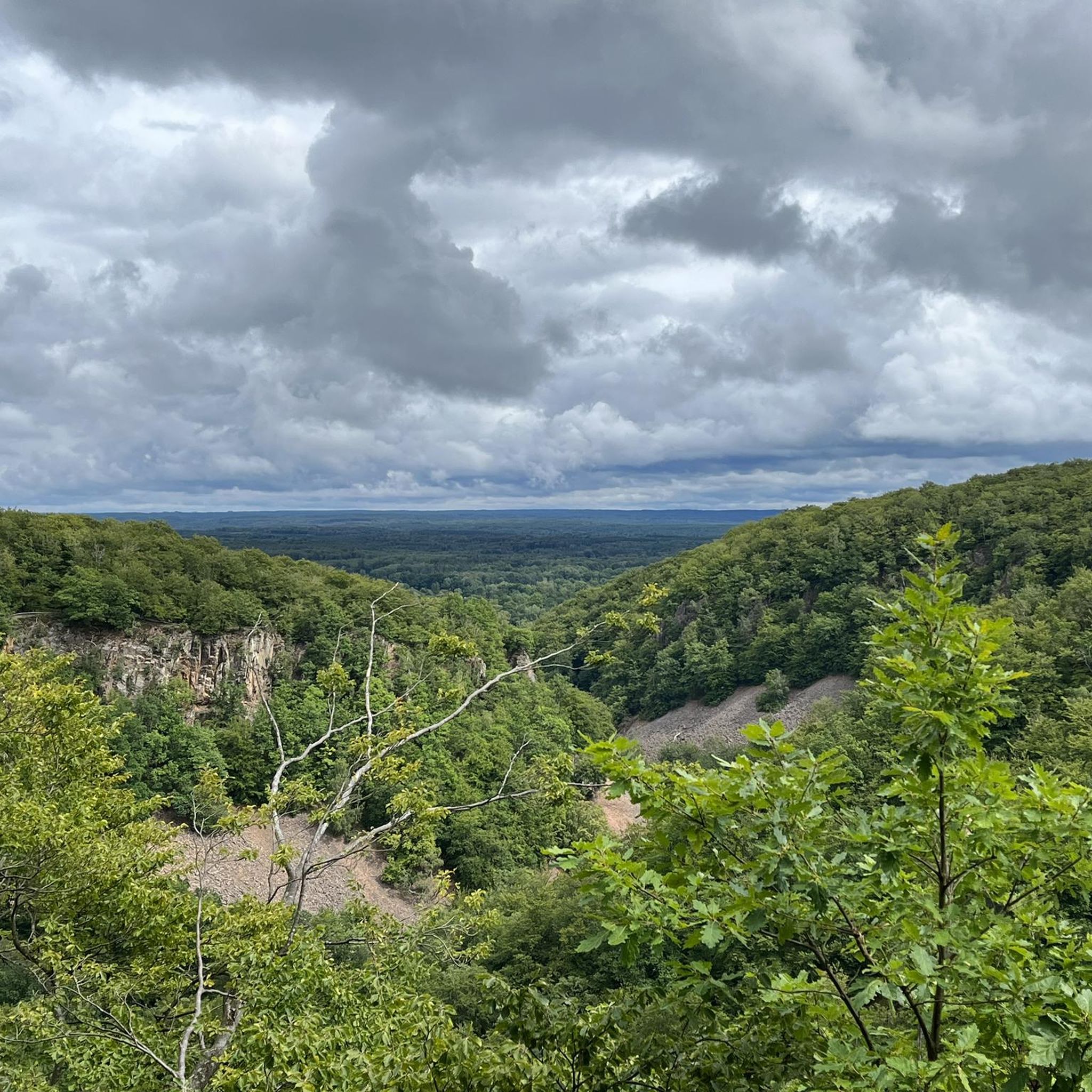
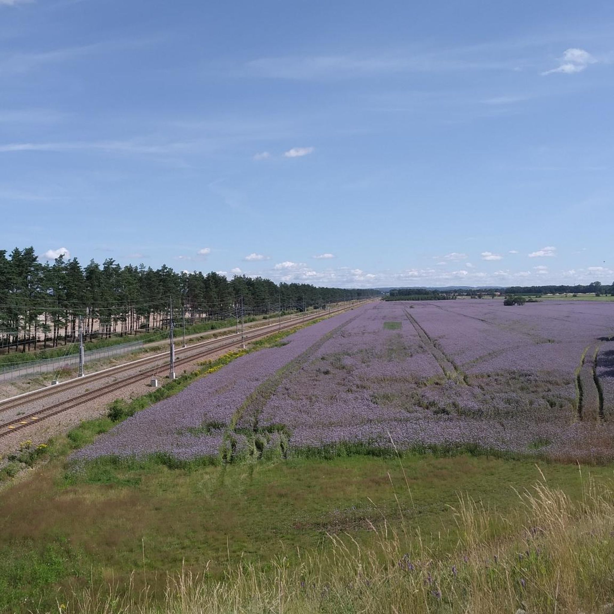
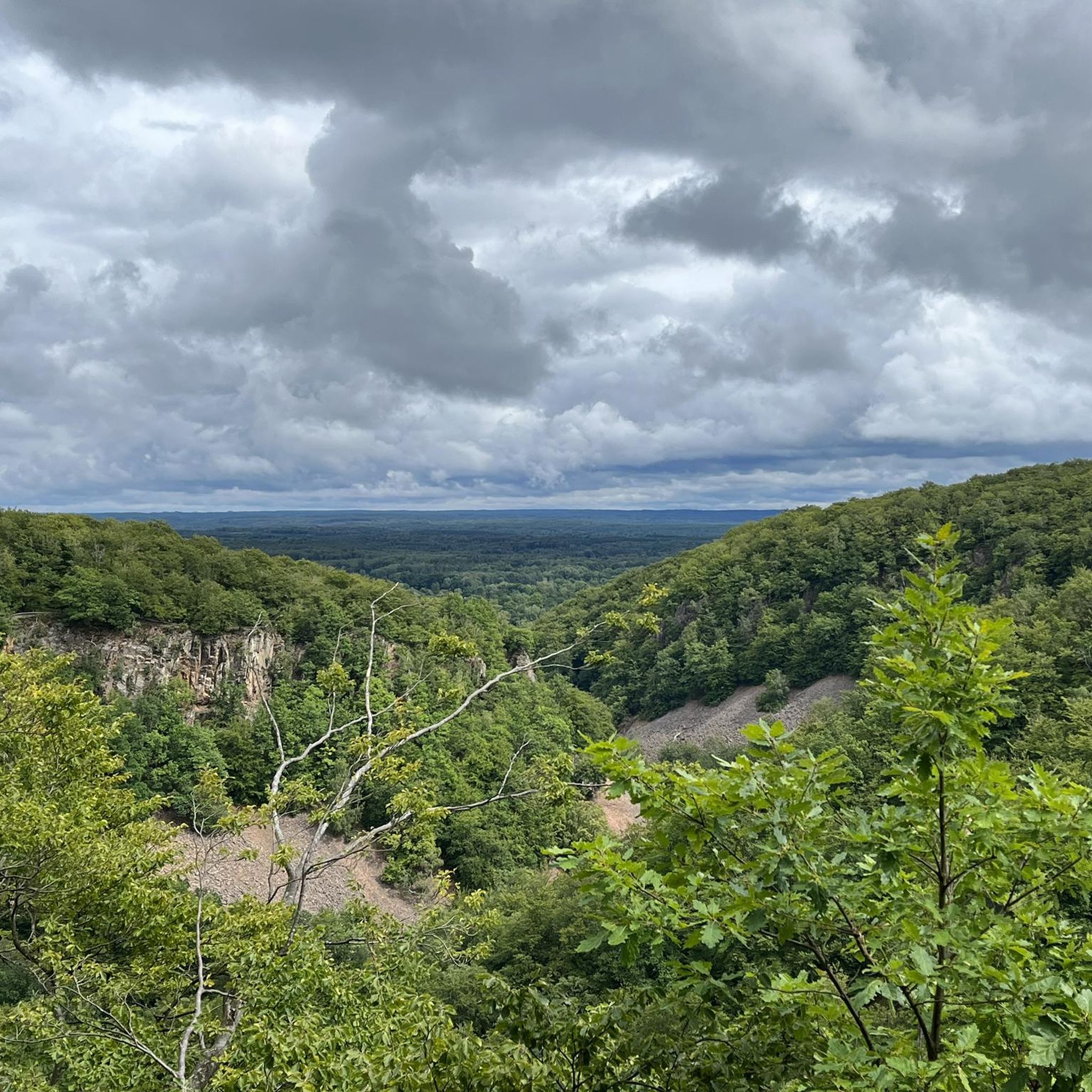
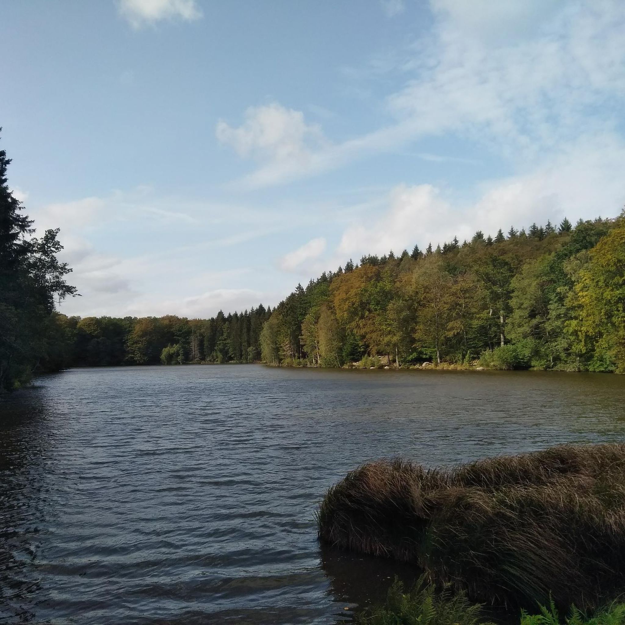
Tips from the Community

A pleasant campsite with three shelters, a fire pit and a toilet. Firewood is usually available. There is water on site, but it’s not safe to drink.
0
0
A pair of trees growing so closely together that their trunks almost touch – as if they’re leaning in for a kiss. A small natural curiosity along the trail and a nice spot for a quick photo or a short pause.
0
0

Situated at the foot of the Söderåsen ridge, the town is surrounded by a beautiful natural landscape, combining its industrial history with easy access to hiking and outdoor activities.
0
0
This smooth asphalt road leads you through the Klöva hallar naturreservat. If you want to go for a detour inside the forest, you can find a beautiful ravine with steep rock walls and a small stream running through it. It offers the perfect opportunity for you to park your bike and take a well-deserved break.
1
0

Quiet spot overlooking lake. Water pump and multiple campfire areas nearby. Approx 200m to toilet
1
0

At the time of my hike, a school class was camping here. There is a water pump that still pumps water. Nice place with access to the lake!
1
0

Shelter and access to fresh water.
0
1

It's a steep climb to the top but the view is excellent.
0
0
Frequently Asked Questions
How many mountain bike trails are available in Hallabäckens dalgångs naturreservat?
There are several mountain bike routes available in and around Hallabäckens dalgångs naturreservat. Our guide features 5 routes, with a total of 3 routes directly within the reserve, offering a range of experiences for different skill levels.
What kind of terrain can I expect when mountain biking in Hallabäckens dalgångs naturreservat?
The terrain in Hallabäckens dalgångs naturreservat is varied and can be quite rugged. You'll encounter valuable deciduous forests, moist pastures, and steep sections with elevation differences of 70-90 meters, characteristic of the Söderåsen fault zone. The valley floor is home to the Hallabäcken stream, adding to the natural diversity.
Are there mountain bike trails suitable for beginners or families in Hallabäckens dalgångs naturreservat?
Yes, there are easy mountain bike trails suitable for beginners and families. For instance, the Windshelter Klåveröd 2 – Windshelter Klåveröd 1 loop is an easy 8.6-mile (13.9 km) trail, and the August Anderssons torp loop is another easy 5.0-mile (8.1 km) path that explores the valley's diverse flora.
What are some natural features or landmarks to look out for while mountain biking?
While riding, you might spot the magnificent sandstone cliff, Stora Älehallen (also known as Elhall), where gnarled beech trees grow from the rock. The Hallabäcken stream itself is a key feature, and observant visitors might even see trout spawning. The reserve also boasts a rich flora with over 600 plant species.
What is the best time of year to go mountain biking in Hallabäckens dalgångs naturreservat?
The deciduous forests and rich flora make spring and autumn particularly beautiful for mountain biking, with vibrant colors and pleasant temperatures. Summer offers longer daylight hours, while winter can present challenging conditions due to snow and ice, depending on the severity of the season.
Are dogs allowed on the mountain bike trails in Hallabäckens dalgångs naturreservat?
Hallabäckens dalgångs naturreservat is generally dog-friendly, but dogs must be kept on a leash to protect wildlife and other visitors. Always ensure your dog is under control and respect the natural environment.
Where can I park my car when visiting Hallabäckens dalgångs naturreservat for mountain biking?
Specific parking information for mountain bikers is not detailed in the provided data, but nature reserves in Sweden typically have designated parking areas near main entrances or trailheads. It's advisable to check local signage upon arrival for the most current parking options.
What do other mountain bikers say about the trails in Hallabäckens dalgångs naturreservat?
The routes in Hallabäckens dalgångs naturreservat are highly rated by the komoot community, with an average score of 4.7 stars from several reviews. Mountain bikers often praise the varied terrain, the beautiful deciduous forests, and the overall natural experience.
Are there any longer or more challenging mountain bike routes available?
Yes, for those seeking a longer ride, the Windshelter Krika-Skog – Windshelter Hålebäck loop from Åstorp is a moderate 30.8-mile (49.6 km) trail that takes nearly 4 hours to complete. Another moderate option is the Windshelter Hålebäck loop from Åstorp, which is 27.8 miles (44.7 km) long.
Are there any specific rules or policies for mountain biking within Hallabäckens dalgångs naturreservat?
As a nature reserve, regulations are in place to protect the environment. While mountain biking is generally permitted, it's important to stick to existing paths and trails. Regulations typically prohibit damaging natural formations or placing foreign objects, so extensive trail modification is not allowed. Always respect the 'Allemansrätten' (Right of Public Access) and local reserve rules.
Can I reach Hallabäckens dalgångs naturreservat by public transport?
While the region of Skåne has public transport options, direct access to Hallabäckens dalgångs naturreservat specifically for mountain biking might be limited. It's recommended to check local bus schedules or regional transport websites for routes that might get you close to the reserve's entry points.
Are there any circular mountain bike routes in the area?
Yes, many of the routes are designed as loops. For example, the popular Windshelter Klåveröd 2 – Windshelter Klåveröd 1 loop and the August Anderssons torp loop are both circular routes, allowing you to start and end at the same point.
Most popular routes in Hallabäckens dalgångs naturreservat

Get inspired with the komoot mobile app


Explore more
Browse the best MTB trails in other regions.
