The best walks and hikes in Eskilstorps Ängar
4.5
(73)
535
hikers
43
hikes
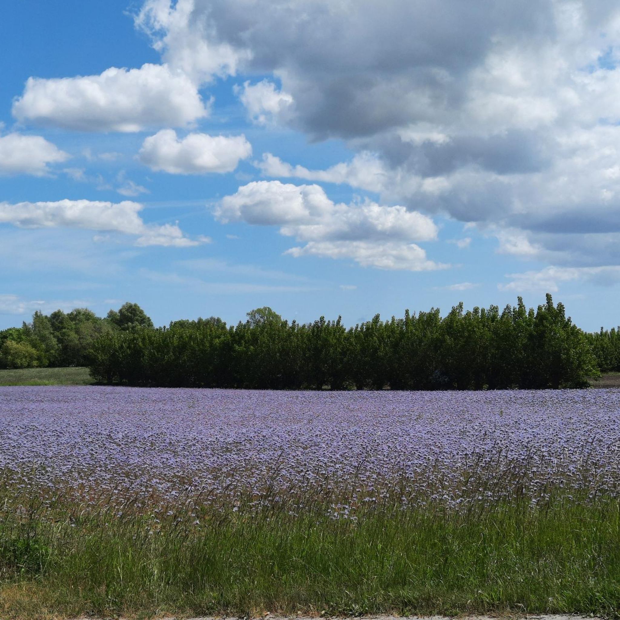
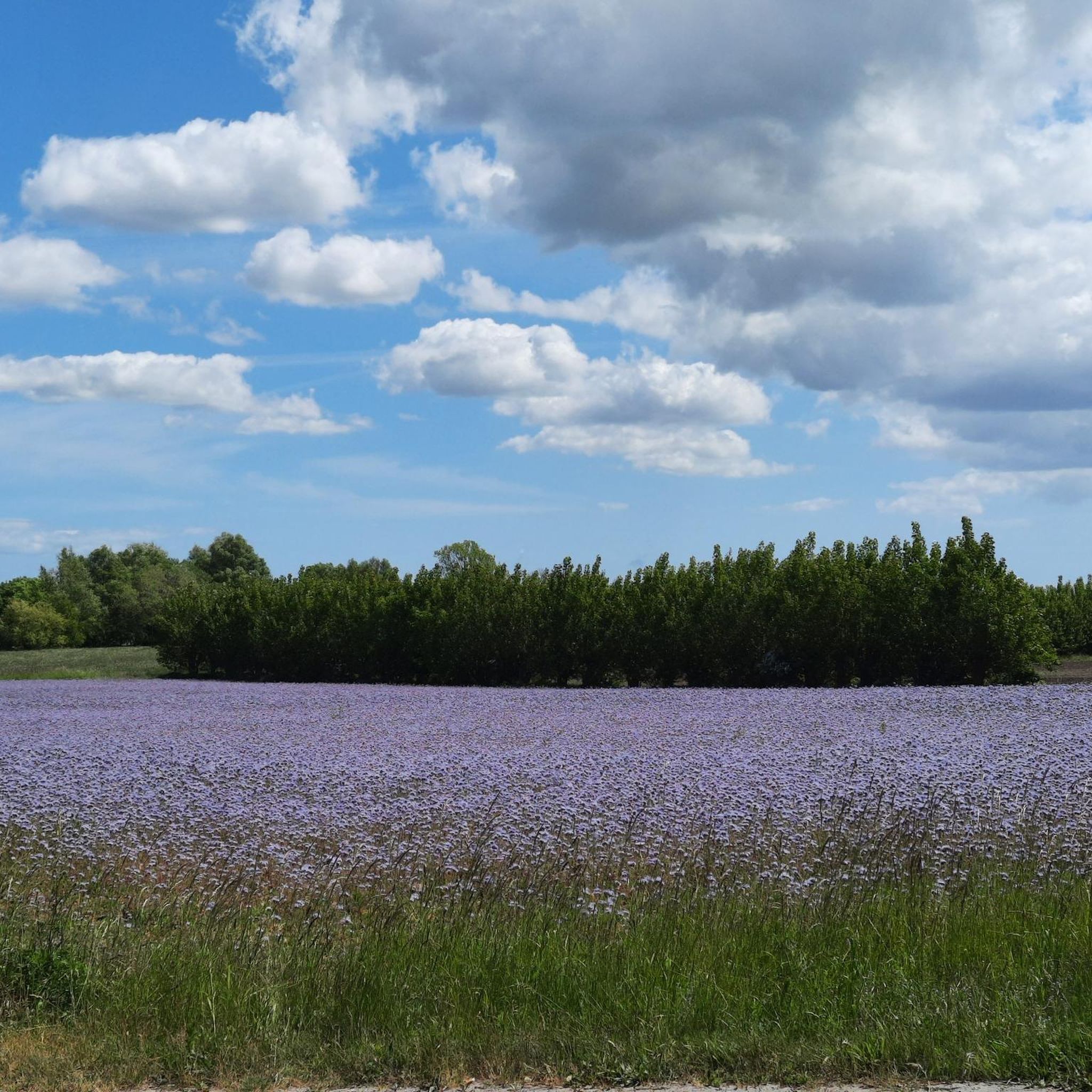
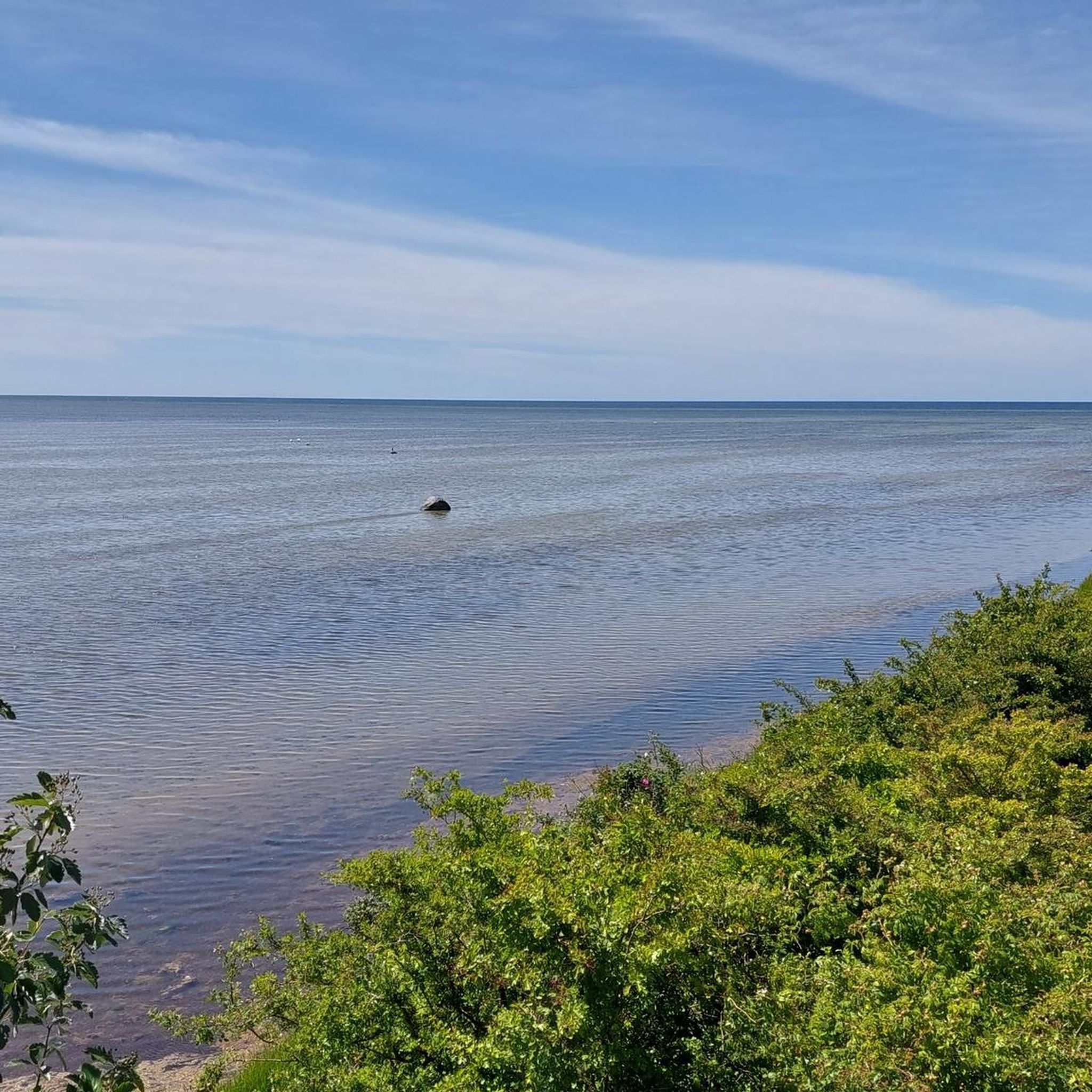
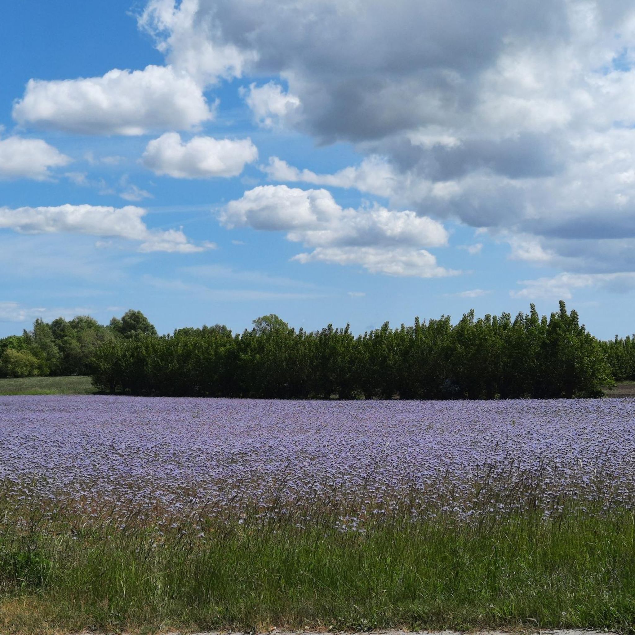
Hiking trails in Eskilstorps Ängar offer an accessible experience through flat and sometimes wet terrain, characterized by narrow paths. The landscape primarily consists of extensive grazed meadows, shores, and reedbeds, providing wide-open vistas of sky and sea. From the shore, hikers can enjoy views of Foteviken and Näsholmarna. This coastal environment is defined by the sea, mudflats, and beaches, creating a distinct natural setting.
Best hiking trails in Eskilstorps Ängar
- The most popular hiking route is Campsite in Rural Sweden…
Last updated: July 10, 2026
3.0
(1)
2
hikers
11.6km
02:57
30m
30m
Moderate hike. Good fitness required. Easily-accessible paths. Suitable for all skill levels.
4.3
(3)
24
hikers
25.8km
06:30
30m
30m
Hard hike. Very good fitness required. Easily-accessible paths. Suitable for all skill levels.

Sign up for free
5.0
(1)
17
hikers
8.68km
02:12
10m
10m
Moderate hike. Good fitness required. Easily-accessible paths. Suitable for all skill levels.
7
hikers
Moderate hike. Good fitness required. Easily-accessible paths. Suitable for all skill levels.
4.8
(5)
19
hikers
Moderate hike. Good fitness required. Easily-accessible paths. Suitable for all skill levels.
Get access to more routes and recommendations from other explorers.
Sign up for free
Already have an account?
Our route recommendations are based on thousands of hikes, rides, and runs completed by other people on komoot.
Start today with a free account
Your next adventure awaits.
Login or Signup
Tips from the Community

Beautiful bridge and beautiful cycle path.
1
0

Walk all the way to the tip of the coast for a distant view of the Øresund Bridge stretching across the sea.
0
0

The tower stands on a spit of land near Klagshamn Haven. Many migratory birds stop there to rest on their journey.
0
0

Very different row of stones in the sea
0
0

Not much remains of Skanör Castle, which stood here from the 1220s until the 18th century. The hill on which the castle stood is overgrown. However, a bench on the hill offers a beautiful view of the coastal landscape.
2
0
Vessels taller than 3.90 meters can request the drawbridge to be opened via VHF radio. However, the times at which this is possible are fixed: every two hours starting at 6 a.m. from April to September, and every four hours during the other months.
3
0

Sweden's oldest operating lighthouse
1
2
The canal was created to avoid having to bypass the peninsula.
1
0
Frequently Asked Questions
What kind of terrain can I expect when hiking in Eskilstorps Ängar?
Eskilstorps Ängar features flat and sometimes wet terrain, primarily consisting of extensive grazed meadows, shores, and reedbeds. The trails are generally narrow, offering wide-open vistas of the sky and the Foteviken area. The environment is distinctly coastal, with mudflats and beaches.
Are there any easy hiking routes suitable for beginners in Eskilstorps Ängar?
Yes, Eskilstorps Ängar offers several easy routes. For instance, the Kalkbrottet loop from Skumparp is an easy 3 km hike that can be completed in under an hour, perfect for a gentle introduction to the area.
What are the best times of year to visit Eskilstorps Ängar for hiking?
Eskilstorps Ängar is particularly rewarding during spring and autumn migrations for birdwatching, which integrates well with hiking. However, be aware that some bird protection areas are in effect between late April and mid-July, so it's important to respect signage during these times.
Is Eskilstorps Ängar a good place for birdwatching while hiking?
Absolutely. Eskilstorps Ängar is an internationally important resting place for migratory birds, part of the Ramsar Wetland Convention. Hikers can observe a diverse array of species, including Common Redshank, Northern Lapwing, Eurasian Oystercatcher, and Dunlin. The Verkstadsdammen pond in the northern part is a good spot for waders.
Are there any circular hiking routes in or near Eskilstorps Ängar?
While Eskilstorps Ängar itself doesn't feature many marked circular trails, you can find loop options nearby. The Campsite in Rural Sweden loop from Gessie villastad is a moderate 11.6 km route that traverses grazed meadows and offers views towards the Foteviken area.
What do other hikers say about the trails in Eskilstorps Ängar?
The routes in Eskilstorps Ängar are highly rated by the komoot community, with an average score of 4.5 stars from over 50 reviews. Hikers often praise the wide-open vistas, the unique coastal environment, and the rich birdlife.
Are there any longer or more challenging hikes available?
Yes, for those seeking a more extensive trek, the area offers more challenging options. The Around the coast at Falsterbonäset - Flommens nature reserve is a difficult 25.8 km path that explores the coastal environment, featuring extensive beach meadows and reed areas.
Can I bring my dog on the hiking trails in Eskilstorps Ängar?
Generally, dogs are welcome on trails in Sweden, but it's crucial to keep them on a leash, especially in nature reserves and during bird breeding seasons (typically March 1 to August 20). Given Eskilstorps Ängar's importance for birdlife, always ensure your dog is under control and respect any specific local signage regarding pets.
Are there any historical points of interest in the Eskilstorps Ängar area?
The Foteviken area, which encompasses Eskilstorps Ängar, holds historical significance. It is known as a place where Viking fleets, including those under Harald Bluetooth, would moor their boats for winter rest.
What kind of natural features can I expect to see besides birds?
Beyond the rich birdlife, you'll encounter extensive grazed meadows, shores, and reedbeds. You might also spot unique grassy tussocks topped with flowering thrift, which are formed by yellow ants building their nests. The views of Foteviken and Näsholmarna are also prominent natural features.
How many hiking routes are available in Eskilstorps Ängar?
There are over 45 hiking routes available in Eskilstorps Ängar, catering to various difficulty levels. This includes approximately 25 easy routes, 19 moderate routes, and a few more challenging options.
Is there a moderate length hike that explores coastal reserves?
Yes, the Trough the reserve and around the harbour – Bunkeflo strandängars Nature Reserve is a moderate 9.2 km trail that leads through coastal reserves, typically completed in about 2 hours 19 minutes.
Most popular routes in Eskilstorps Ängar

Get inspired with the komoot mobile app


Explore more
Browse the best Hikes in other regions.
