The best walks and hikes in Listershuvud
4.3
(128)
501
hikers
37
hikes
Hiking in Listershuvud offers diverse landscapes within a prominent nature reserve in Blekinge, Sweden. The region features elevated terrain, with its highest point reaching approximately 80 meters above sea level, providing panoramic views of the Listerland peninsula and Hanö Bay. Extensive forest areas, including one of Sweden's largest continuous hornbeam forests and significant deciduous woodlands of beech and oak, characterize the area. Unique geological formations, such as numerous beach ridges from different eras of the Baltic Sea's development, are also present along the coast.
Best hiking trails in Listershuvud
- The most popular hiking route is Engelska Källan – Nogersund Harbour loop from Listershuvud, a 8.8 miles (14.2 km) trail that takes 3 hours 41 minutes to complete. This moderate route connects key locations and offers views of the coastal landscape.
- Another top favourite among local hikers is Picnic Table in the Meadow – Engelska Källan loop from Hörvik, an easy 3.6 miles (5.7 km) path. This trail passes through diverse forest environments and is suitable for a shorter outing.
- Local hikers also love the Nogersund Harbour – Engelska Källan loop from Strandvallen, a 6.0 miles (9.7 km) trail leading through varied terrain, often completed in about 2 hours 34 minutes.
- Hiking in Listershuvud is defined by elevated viewpoints, diverse forests including hornbeam and beech, and ancient beach ridges along the coast. The network offers options for different ability levels, from easy walks to moderate hikes.
- The routes in Listershuvud are highly rated by the komoot community with an average score of 4.4 stars from over 100 reviews. More than 400 hikers have used komoot to explore Listershuvud's varied terrain.
Last updated: August 18, 2026
4.6
(8)
40
hikers
11.0km
02:55
110m
110m
Moderate hike. Good fitness required. Easily-accessible paths. Suitable for all skill levels.
4.8
(13)
32
hikers
5.73km
01:34
90m
90m
Easy hike. Great for any fitness level. Easily-accessible paths. Suitable for all skill levels.

Sign up for free
4.8
(12)
29
hikers
12.0km
03:05
60m
60m
Moderate hike. Good fitness required. Easily-accessible paths. Suitable for all skill levels.
4.8
(9)
27
hikers
12.6km
03:15
70m
70m
Moderate hike. Good fitness required. Easily-accessible paths. Suitable for all skill levels.
5.0
(5)
11
hikers
Easy hike. Great for any fitness level. Easily-accessible paths. Suitable for all skill levels.
Get access to more routes and recommendations from other explorers.
Sign up for free
Already have an account?
Our route recommendations are based on thousands of hikes, rides, and runs completed by other people on komoot.
Start today with a free account
Your next adventure awaits.
Login or Signup
Popular around Listershuvud
Tips from the Community

The Geological Trail at Listershuvud Nature Reserve is a great family-friendly 3.7 km (2.3 mile) educational walking route. It will take you 1-2 hours to hike it, and you will find information boards on the way round that will tell you the geological history of the reserve. You will also find parking, the Listerlandet cycling trail, a barbecue area, a restaurant, a viewpoint, and a hiking trail.
0
0
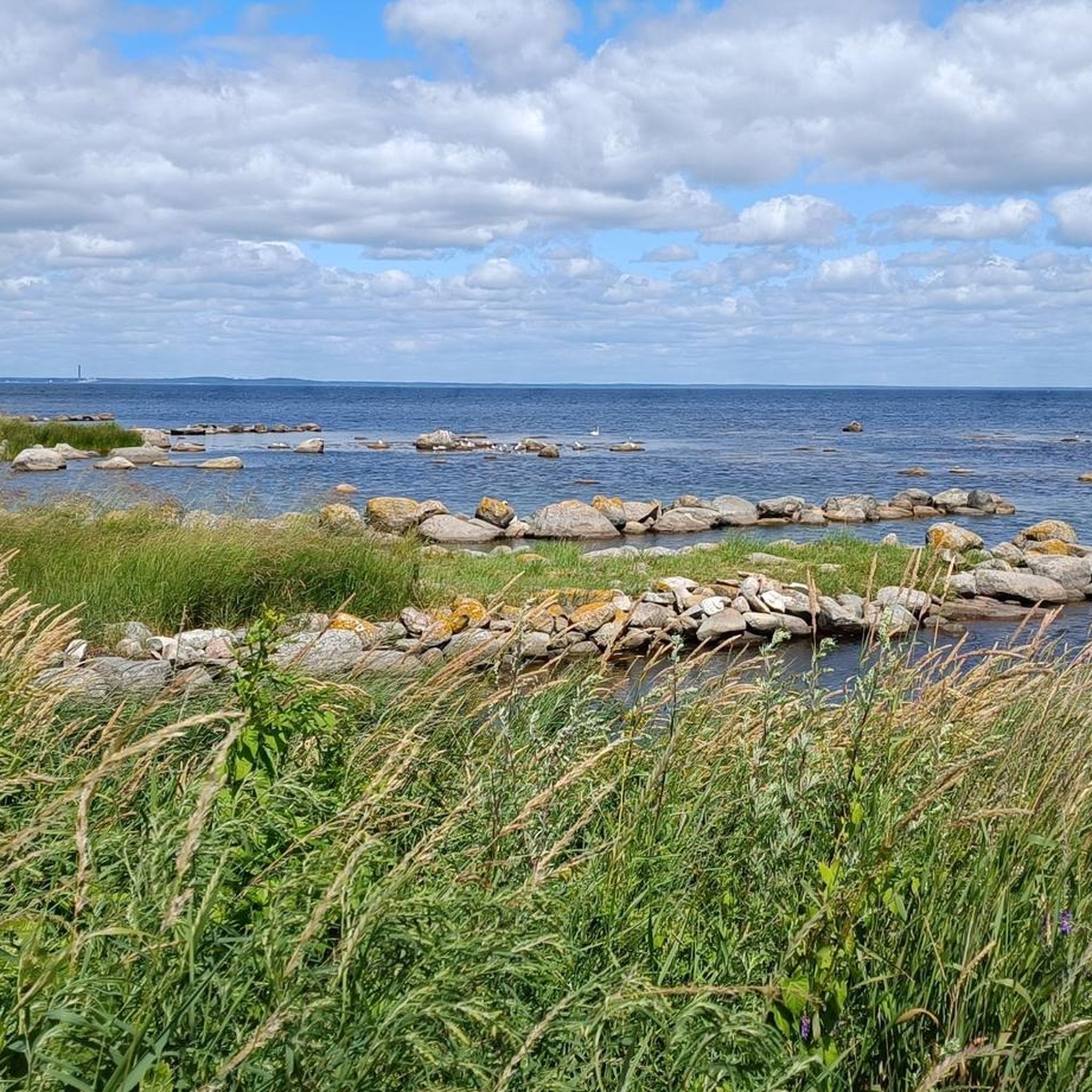
This is a great spot to take a break. If you have kids, the animals will keep their attention; the cows are great fun to watch. There are also a couple of benches here too, so it is a nice place to stop.
0
0
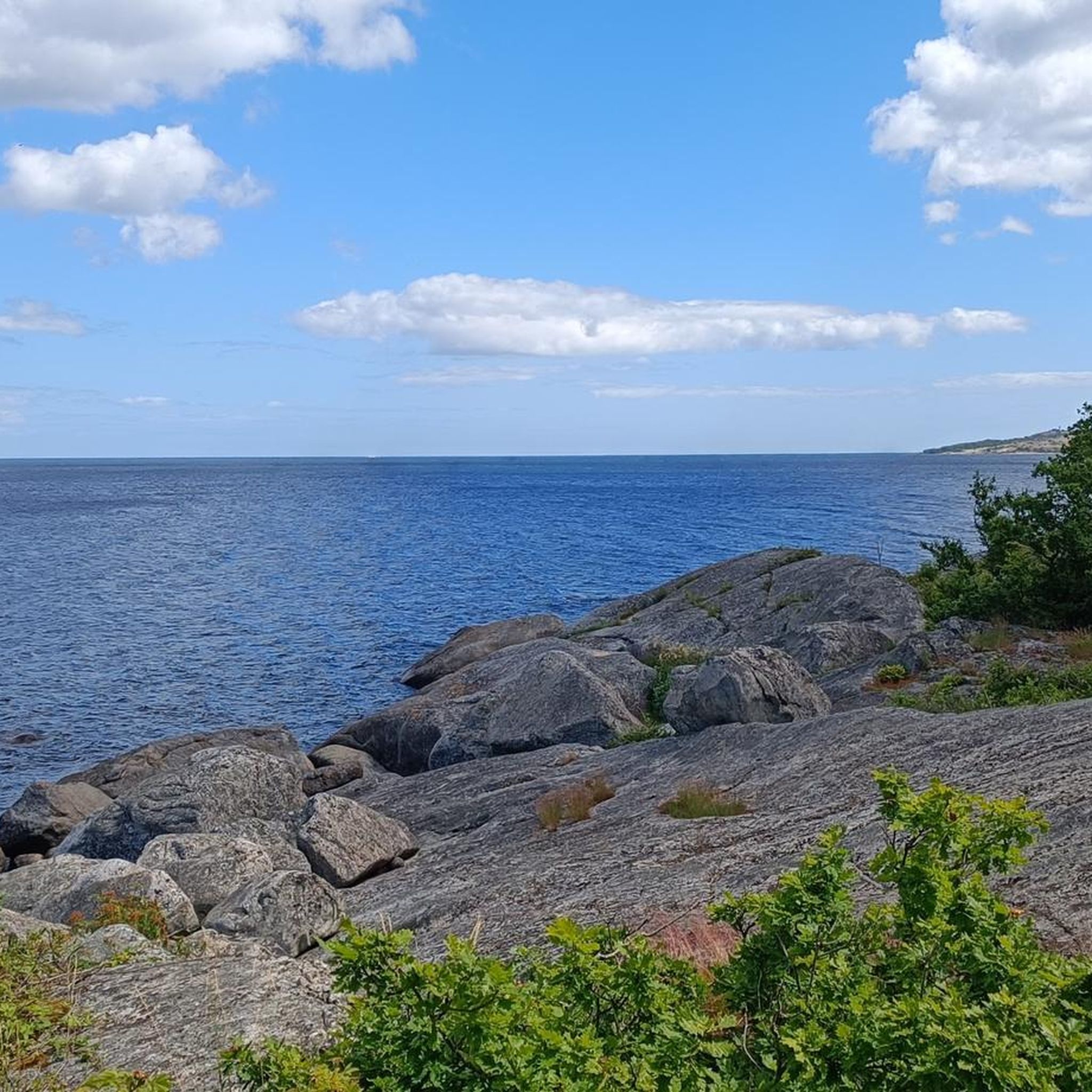
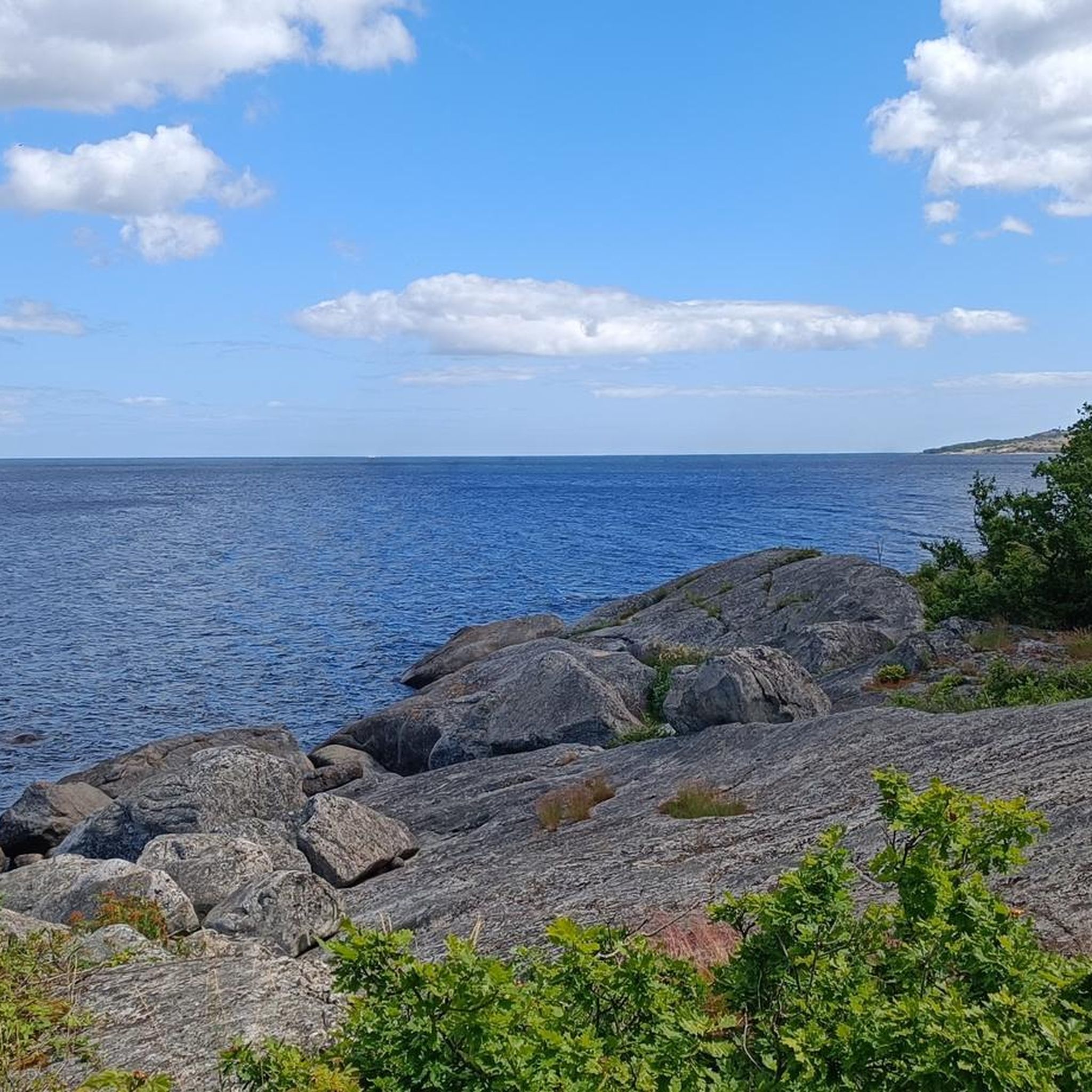
This is a lovely spot. You have a nice family-friendly table that is very handy and a very lovely view out to sea looking across towards Hörvik.
0
0


Viewpoint with bench and table.
0
0

Parking a short distance from the ferry Nogersund to Hanö
1
0
Frequently Asked Questions
How many hiking trails are available in Listershuvud?
Listershuvud offers a wide selection of hiking experiences, with over 35 marked trails. These routes make large areas of the nature reserve accessible, catering to various preferences and fitness levels.
What are the typical difficulty levels for hiking in Listershuvud?
The trails in Listershuvud range from easy to moderate. You'll find approximately 24 easy routes, perfect for a leisurely stroll, and about 12 moderate trails for those seeking a bit more challenge. There are no difficult routes listed, making it accessible for most hikers.
Are there any family-friendly hiking options in Listershuvud?
Yes, Listershuvud has several family-friendly options. For an easy outing, consider the Picnic Table in the Meadow – Engelska Källan loop from Hörvik, which is 3.6 miles (5.7 km) long and passes through diverse forest environments. The educational trail with information boards about the area's geological history also makes for an engaging family activity.
Can I bring my dog on the hiking trails in Listershuvud?
Listershuvud is generally dog-friendly, but it's always recommended to keep dogs on a leash, especially within the nature reserve, to protect wildlife and ensure a pleasant experience for all visitors. Please check local signage for any specific restrictions.
Where can I park when visiting Listershuvud for a hike?
The nature reserve is easily accessible, with three recommended parking lots available for visitors. These parking areas provide convenient starting points for exploring the various hiking trails.
How can I reach Listershuvud using public transport?
While Listershuvud is primarily accessed by car, public transport options are available nearby. It's advisable to check local bus schedules for routes connecting to the Listerland peninsula, which can bring you close to the reserve.
What unique natural features can I expect to see while hiking in Listershuvud?
Listershuvud boasts diverse natural features. You can explore one of Sweden's largest continuous hornbeam forests, extensive beech and oak woodlands, and unique geological formations like ancient beach ridges (strandvallar) along the coast. The area also features traces from the Ice Age, such as ice scratches.
Are there any viewpoints or panoramic vistas in Listershuvud?
Absolutely. As a residual mountain, Listershuvud offers elevated terrain, with its highest point reaching approximately 80-84 meters above sea level. This provides hikers with panoramic views of the Listerland peninsula, Hanö Bay (Hanöbukten), and the island of Hanö.
What is the best time of year to hike in Listershuvud?
Listershuvud is beautiful year-round, but the diverse deciduous forests, particularly the beech and oak, make autumn a spectacular time for hiking with vibrant fall colors. Spring also offers a fresh perspective as the flora awakens. Summer is ideal for enjoying the coastal views and longer daylight hours.
Are there any circular hiking routes in Listershuvud?
Yes, many of the trails in Listershuvud are designed as loops, offering varied scenery without retracing your steps. An example is the Nogersund Harbour – Engelska Källan loop from Strandvallen, a 6.0 miles (9.7 km) trail that leads through varied terrain.
What do other hikers enjoy most about Listershuvud?
The area is highly rated by the komoot community, with an average score of 4.4 stars from over 100 reviews. Hikers often praise the diverse landscapes, from dense forests to coastal views, and the well-marked trails that cater to different abilities. The unique geological features and rich biodiversity are also frequently highlighted.
Are there any cultural or historical sites to explore in Listershuvud?
Beyond its natural beauty, Listershuvud holds cultural and historical significance. Some old pastures are being restored to preserve unique flora and fauna, and an educational trail provides insights into the geological history of the area since the Ice Age, enriching the outdoor experience.
Most popular routes in Listershuvud
Most popular attractions in Listershuvud

Get inspired with the komoot mobile app


Explore more
Browse the best Hikes in other regions.
