The best road cycling routes in Hästholmen-Ytteröns Naturreservat
5.0
(2)
32
riders
4
rides
Road cycling in Hästholmen-Ytteröns Naturreservat offers routes through a coastal landscape characterized by islands, bridges, and varied terrain. The region, located in Blekinge, provides opportunities for road cyclists to explore its natural beauty on paved surfaces. Routes often feature views of the Baltic Sea and pass through areas with a mix of open stretches and some forested sections. The elevation gains are generally moderate, making it accessible for different fitness levels.
Best road cycling routes in Hästholmen-Ytteröns Naturreservat
- The most…
Last updated: September 1, 2026
7
riders
27.6km
01:07
150m
150m
Easy road ride. Great for any fitness level. Mostly well-paved surfaces and easy to ride.
5.0
(1)
4
riders
56.3km
02:20
250m
250m
Moderate road ride. Good fitness required. Mostly well-paved surfaces and easy to ride.

Sign up for free
5.0
(1)
11
riders
41.2km
01:54
130m
130m
Moderate road ride. Great for any fitness level. Some segments of this route may be unpaved and difficult to ride.
6
riders
28.1km
01:14
170m
170m
Moderate road ride. Great for any fitness level. Some segments of this route may be unpaved and difficult to ride.
2
riders
30.1km
01:24
210m
210m
Easy road ride. Great for any fitness level. Mostly well-paved surfaces and easy to ride.
Our route recommendations are based on thousands of hikes, rides, and runs completed by other people on komoot.
Start today with a free account
Your next adventure awaits.
Login or Signup
Popular around Hästholmen-Ytteröns Naturreservat
Tips from the Community

On the west bank of the village of Sanda, you can see several boat docks from the road, as well as the small harbor, which has a few spots for recreational and fishing boats. Right on the water, you’ll also find picnic tables where you can watch the laid-back activity in the harbor.
0
0

The southernmost tip of Torhamns udde is a beautiful spot. There is a small jetty here that juts out into the sea and a lovely footpath that takes you all the way down there. The views across the rocky shore are very scenic, and of course it is a great place to go birdwatching.
0
0
The southernmost tip of Torhamns udde is a beautiful spot. There is a small jetty here that juts out into the sea and a lovely footpath that takes you all the way down there. The views across the rocky shore are very scenic, and of course it is a great place to go birdwatching.
0
0

A pleasant walk with lots of wind and many birds.
0
0

The river by the former waterwork forms strange shaped waterfalls.
0
0

Close to the coast doesn't always mean a view of the sea. Here you finally have the opportunity to see the Baltic Sea again.
2
0

Lyckeby is one of the oldest settlements in Blekinge and it supported Karlskrona with flour and water. Lyckå is mentioned as early as the 11th century as being a parish with its own church and graveyard. A couple of hundred years later Lyckå had grown into a Danish market town. Sights worth to see in Lyckeby is the castleruin, Kronkvarnen, Lyckebybron, Lyckeby källa (spring), Tingshuset and Lyckåparken. (https://www.visitkarlskrona.se/en/lyckalyckeby)
0
0
As well as changing rooms, multiple benches and picnic tables. No fresh water.
0
0
Frequently Asked Questions
What is the typical difficulty of road cycling routes in Hästholmen-Ytteröns Naturreservat?
The routes in Hästholmen-Ytteröns Naturreservat are generally accessible, with options ranging from easy to moderate. There is one easy route and three moderate routes available, making it suitable for both beginners and more experienced cyclists looking for a pleasant ride through the coastal landscape.
How long are the road cycling routes in Hästholmen-Ytteröns Naturreservat?
The road cycling routes in the area vary in length. You can find shorter loops like the Möcklöbron loop from Sturkö kyrka, which is about 27.6 km, or longer options such as the Roadbike loop from Steneryds naturreservat, spanning approximately 56.3 km.
Are there any circular road cycling routes in Hästholmen-Ytteröns Naturreservat?
Yes, many of the road cycling routes in Hästholmen-Ytteröns Naturreservat are designed as loops, allowing you to start and finish at the same point. Examples include the Möcklöbron loop from Sturkö kyrka and the Ytterö Ferry loop from Sandhamn Ställplatser och Stugor.
What is the best time of year for road cycling in Hästholmen-Ytteröns Naturreservat?
The summer months are particularly pleasant for road cycling in Hästholmen-Ytteröns Naturreservat. The coastal climate offers comfortable temperatures, and the longer daylight hours provide ample time to explore the islands and bridges. Spring and early autumn can also be beautiful, with fewer crowds and vibrant natural scenery.
Are there family-friendly road cycling routes in Hästholmen-Ytteröns Naturreservat?
For families or those new to road cycling, the region offers easy routes with moderate elevation gains. The Möcklöbron loop from Sturkö kyrka is an easy 27.6 km route that could be suitable for a family outing, offering coastal views on paved surfaces.
What kind of views can I expect along the road cycling routes?
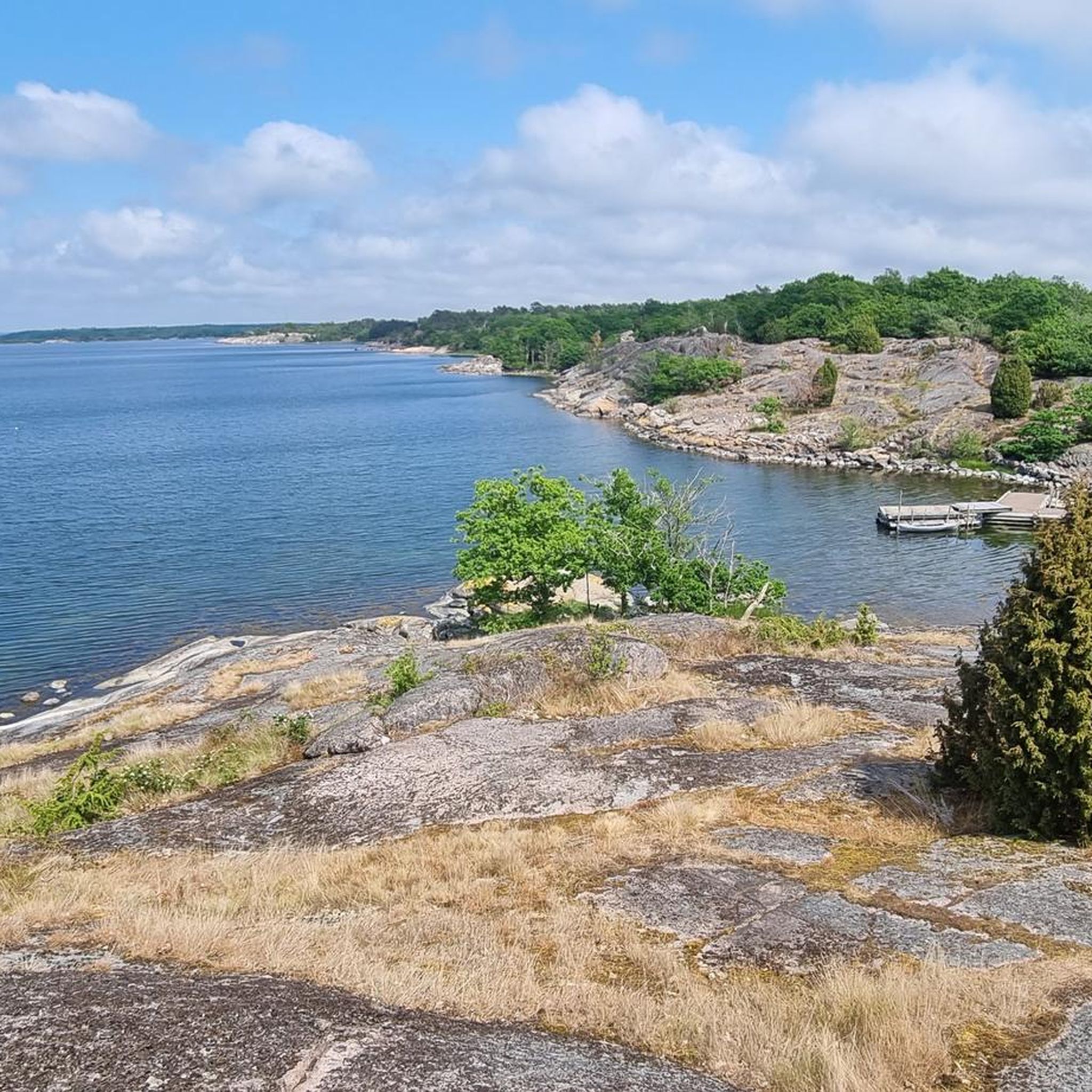
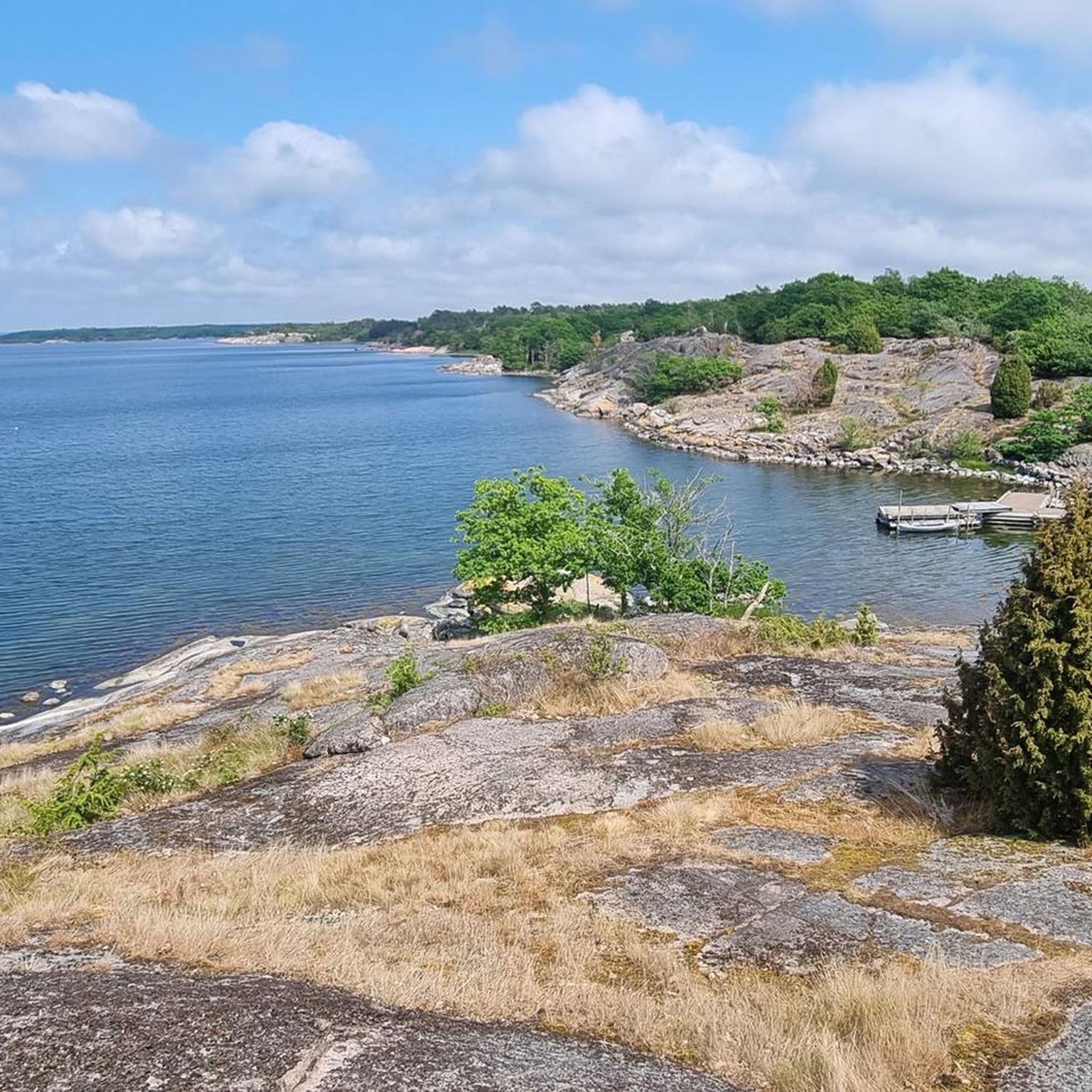
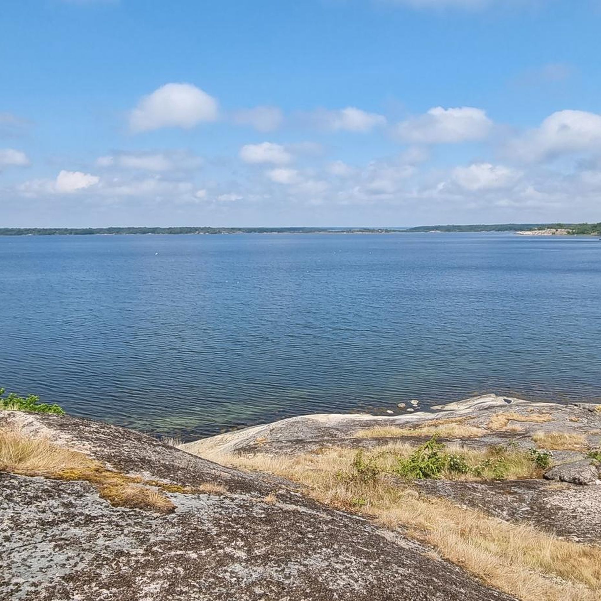
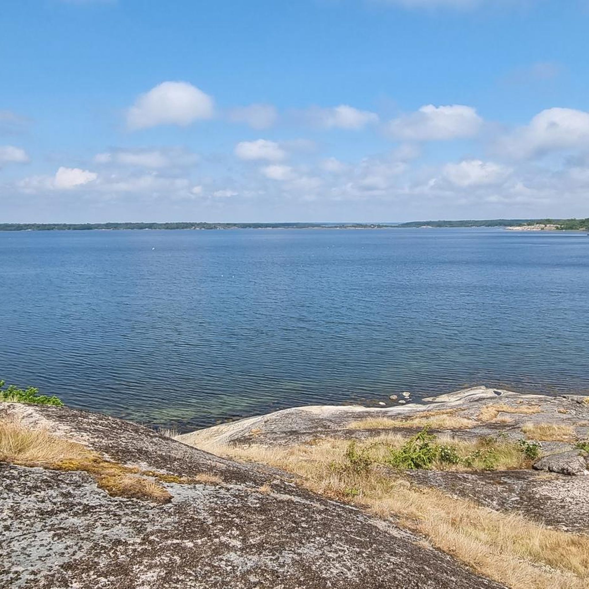
Road cycling in Hästholmen-Ytteröns Naturreservat is characterized by stunning coastal views of the Baltic Sea. Routes often traverse islands connected by bridges, offering panoramic vistas of the archipelago. You'll also pass through areas with a mix of open stretches and some forested sections, providing varied scenery.
Where can I find parking for road biking in Hästholmen-Ytteröns Naturreservat?
Specific parking information varies by starting point. For routes like the Ytterö Ferry loop, starting near Sandhamn Ställplatser och Stugor, you may find designated parking areas. For other routes, look for parking near churches or nature reserve entrances, such as Sturkö kyrka or Steneryds naturreservat.
What do other road cyclists enjoy most about road cycling in Hästholmen-Ytteröns Naturreservat?
The area is highly rated by the komoot community, with an average score of 5.0 stars. Reviewers often praise the unique coastal paths, the experience of cycling across bridges connecting islands, and the natural reserve landscapes that define the region. The varied terrain and options for different ability levels are also frequently highlighted.
Are there any cafes or places to stop for refreshments along the routes?
While specific cafes are not listed for every route, the region of Blekinge, where Hästholmen-Ytteröns Naturreservat is located, has small towns and villages. Routes that pass through or near communities like Sturkö or Sandhamn may offer opportunities to find local cafes or shops for refreshments. Planning your route with potential stops in mind is recommended.
How many road cycling routes are available in Hästholmen-Ytteröns Naturreservat?
There are currently four distinct road cycling routes available in Hästholmen-Ytteröns Naturreservat, offering a range of distances and difficulties to explore the coastal landscape.
Can I reach Hästholmen-Ytteröns Naturreservat by public transport for road cycling?
Access to Hästholmen-Ytteröns Naturreservat via public transport can be challenging depending on your starting point and the specific route. While some areas in Blekinge are served by regional buses, direct access to all trailheads might require a combination of transport methods. It's advisable to check local bus schedules and ferry connections, especially for island-based routes like the Ytterö Ferry loop.
Are there any longer road cycling routes for advanced cyclists?
For advanced cyclists seeking a longer challenge, the Roadbike loop from Steneryds naturreservat is a moderate 56.3 km path that explores a larger section of the natural landscape, offering a more extended ride through the region.
Most popular routes in Hästholmen-Ytteröns Naturreservat

Get inspired with the komoot mobile app


Explore more
Browse the best Road cycling routes in other regions.
