The best road cycling routes in Rezerwat Piłackie Wzgórza
4.5
(2)
76
riders
5
rides
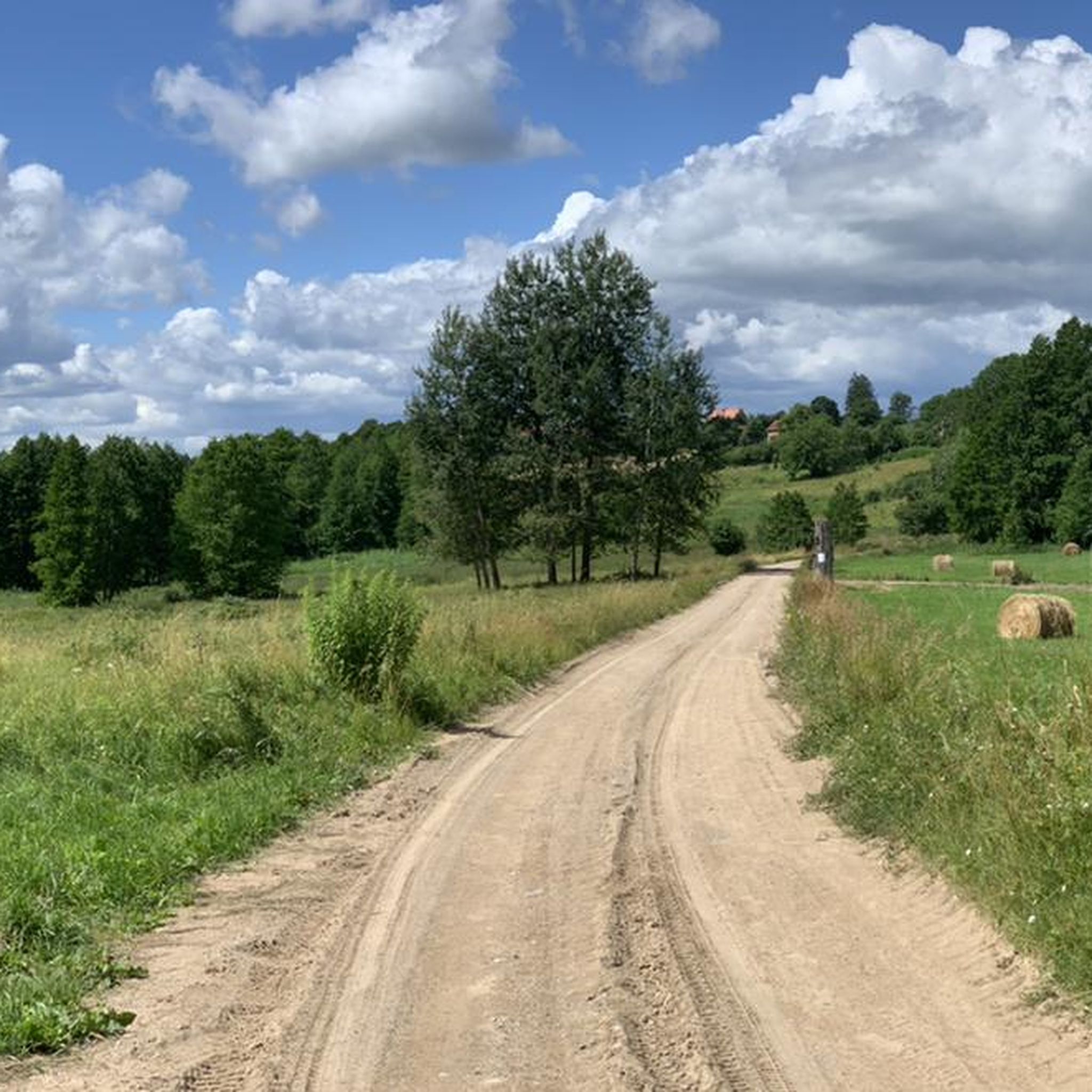
Road cycling routes in Rezerwat Piłackie Wzgórza traverse a unique post-glacial landscape, characterized by a diverse and undulating terrain. Cyclists encounter hummocks, hills, and moraine ridges, with elevation differences up to 80 meters and slopes reaching 30-40 degrees. The reserve features extensive mixed forests, primarily spruce and pine, providing shaded routes. This varied topography offers engaging challenges for road cyclists.
Best road cycling routes in Rezerwat Piłackie Wzgórza
- The most popular road cycling route is Plaża Miejska – Zamek Krzyżacki…
Last updated: July 12, 2026
5.0
(1)
14
riders
39.7km
01:58
200m
200m
Moderate road ride. Great for any fitness level. Some segments of this route may be unpaved and difficult to ride.
4.0
(1)
19
riders
60.4km
02:29
280m
280m
Moderate road ride. Good fitness required. Mostly well-paved surfaces and easy to ride.

Sign up for free
9
riders
69.1km
02:49
330m
330m
Moderate road ride. Good fitness required. Mostly well-paved surfaces and easy to ride.
8
riders
29.4km
01:12
170m
170m
Easy road ride. Great for any fitness level. Mostly well-paved surfaces and easy to ride.
2
riders
99.3km
04:08
530m
530m
Moderate road ride. Good fitness required. Some segments of this route may be unpaved and difficult to ride.
Our route recommendations are based on thousands of hikes, rides, and runs completed by other people on komoot.
Start today with a free account
Your next adventure awaits.
Login or Signup
Tips from the Community

Interesting thing to see how this bridge is actually rotated :)
0
0

The Węgorzewski Canal is a picturesque section of the Masurian waterway network, connecting Lake Mamry with the port in Węgorzewo. Less than a kilometer long, it runs alongside the Węgorapa River, and its banks create a pleasant place for walking and cycling thanks to a modernized pedestrian and bicycle path. It's a peaceful place where you can observe waterfowl and beavers, and in summer, relax at the nearby Mamry municipal beach.
2
0

Bridge under renovation (June 2025)
0
0
The fortress makes a huge impression. Unfortunately, they do not allow bicycles.
0
0

Lake Wydmińskie is located in Masuria, in the picturesque area of the village of Wydminy. It is a peaceful body of water, ideal for lovers of kayaking, sailing and fishing, as well as for those looking for a rest away from the crowds. There are numerous walking and cycling paths around the lake, and in the season there are several bathing areas with piers. It is worth taking comfortable shoes and something for mosquitoes, especially when planning evening runs.
1
0

A beautifully situated 920-meter-long canal connects the Węgorzewo marina with Lake Mamry. Yachts and Masurian Shipping vessels ply the canal. The canal was built to shorten the stretch of water connecting Lake Mamry with the Węgorzewo port. The winding Węgorapa River was too difficult to navigate (officially, swimming is prohibited on the section that bypasses the canal). A pedestrian and bicycle path runs along the canal, a favorite strolling spot for residents and tourists, offering opportunities to admire the natural scenery and the sights of ships and yachts passing through. Nature is truly alive near the canal and on the island – beavers feed and birds gather. A Natura 2000 protected area is located nearby. You can see grey herons, red-necked grebes, bitterns, mergansers, cranes, and kites nearby. https://mazury24.eu/atrakcje-turystyczne/kanal-wegorzewski,342
3
2

open all year round. Numerous attractions on site. Check out the website https://twierdza.gizycko.pl/o-twierdzy-boyen/
0
0
Frequently Asked Questions
What kind of terrain can I expect when road cycling in Rezerwat Piłackie Wzgórza?
Rezerwat Piłackie Wzgórza is characterized by a unique post-glacial landscape with a diverse and undulating terrain. You'll encounter hummocks, hills, and moraine ridges, with elevation differences of up to 80 meters and slopes reaching 30-40 degrees. This varied topography provides engaging challenges, reminiscent of submontane regions.
Are the road cycling routes in Rezerwat Piłackie Wzgórza suitable for beginners?
All the road cycling routes listed in Rezerwat Piłackie Wzgórza are rated as moderate difficulty. While they offer engaging challenges due to the undulating terrain and elevation changes, they are generally accessible for cyclists with some experience. There are no routes specifically rated as easy or difficult.
What natural features will I see along the road cycling routes?
The dominant natural feature is a mixed forest, primarily composed of spruce and pine trees, many over 100 years old and reaching heights of 30 meters, creating picturesque, shaded routes. You might also encounter cranberry pine forests and hornbeam-oak forests, offering a tranquil and immersive experience.
What is the longest road cycling route available in the area?
The longest road cycling route is the Boyen Fortress – Swing Bridge in Giżycko loop from Pozezdrze, covering approximately 99.3 km (61.7 miles) with an elevation gain of around 527 meters. This route typically takes about 4 hours and 8 minutes to complete.
What do other road cyclists enjoy most about cycling in Rezerwat Piłackie Wzgórza?
The area is highly rated by the komoot community, with an average score of 5.0 stars. Cyclists often praise the unique post-glacial landscape, the challenging yet scenic climbs, and the extensive forested sections that provide a refreshing and visually appealing backdrop.
Are there any routes that offer extensive forested sections?
Yes, the Mainly asphalt – Public Road loop from Żabinka is a moderate 69.1 km (42.9 miles) route that offers extensive forested sections and undulating terrain, providing a tranquil and immersive experience.
Can I find routes with significant elevation changes?
Absolutely. The region's 'young glacial relief' means significant elevation changes are common. For example, the Boyen Fortress – Swing Bridge in Giżycko loop from Pozezdrze features over 527 meters of ascent, providing engaging challenges for road cyclists.
How many road cycling routes are available in Rezerwat Piłackie Wzgórza?
There are 5 road cycling routes available in Rezerwat Piłackie Wzgórza, all rated as moderate difficulty, offering a variety of distances and elevation profiles within the unique post-glacial landscape.
Is there a route that explores the area around Sztynort Palace?
Yes, the Sztynort Palace – Masurian Canal loop from Ogonki is a 55.6 km (34.5 miles) route that takes you through this historic area, offering a blend of natural beauty and cultural interest.
What is a good route for exploring the varied post-glacial landscape?
The Plaża Miejska – Zamek Krzyżacki loop from Przytuły is an excellent choice. This 40.4 km (25.1 miles) moderate route specifically navigates the region's varied post-glacial landscape, showcasing its unique hummocks, hills, and moraine ridges.
Are there any routes that pass through areas with notable historical or cultural points?
While the primary focus is natural beauty, routes like the Boyen Fortress – Swing Bridge in Giżycko loop from Pozezdrze can take you near significant landmarks, offering a chance to combine your ride with exploring the local history of the wider region.
What is the typical duration for a road cycling route in Rezerwat Piłackie Wzgórza?
The routes vary in length and duration. For instance, the Legend – The Prince from Kut loop from Przerwanki is about 33.5 km (20.8 miles) and can be completed in approximately 1 hour 31 minutes, while longer routes can take over 4 hours.
Most popular routes in Rezerwat Piłackie Wzgórza

Get inspired with the komoot mobile app


Explore more
Browse the best Road cycling routes in other regions.
