The best walks and hikes in Rezerwat Archeologiczny „Rydno”
4.9
(100)
1,084
hikers
88
hikes
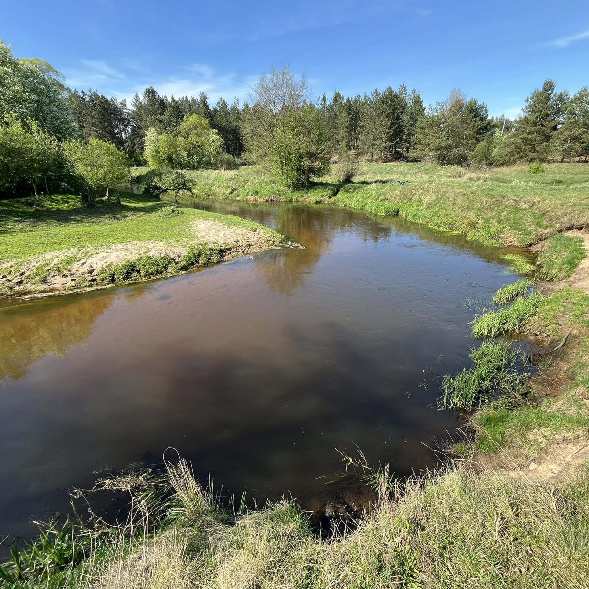
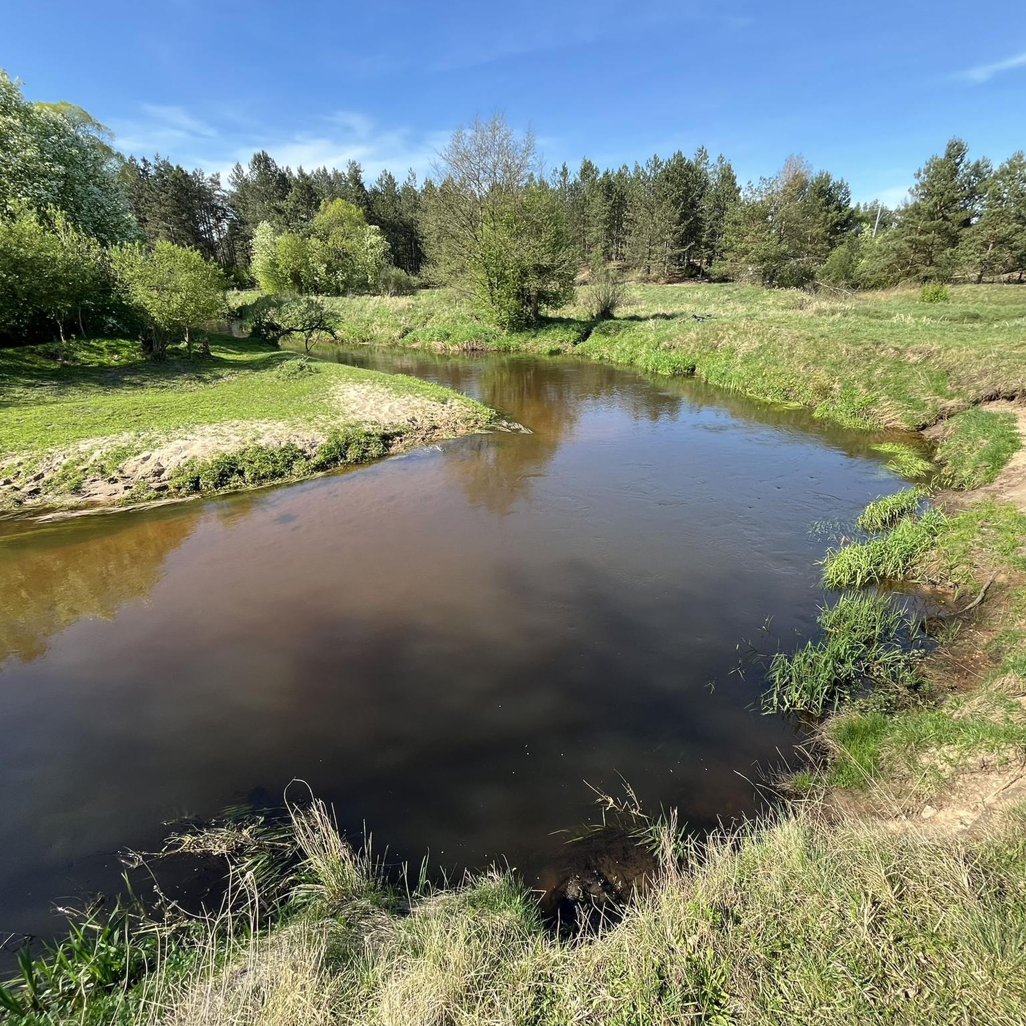
Hiking in Rezerwat Archeologiczny „Rydno” offers a blend of natural landscapes and archaeological heritage. The region is characterized by forest and meadow scenery within the Upper Kamienna River valley, featuring geological formations of Triassic and Jurassic sandstones. Prominent natural features include the Kamienna River and Żarnówka River, which shape the terrain. This area is also notable for its unique concentration of Stone Age settlements and ancient mining sites for hematite and chocolate flint.
Best hiking trails in Rezerwat Archeologiczny „Rydno”
- The most popular hiking route is Wąchock Dam – View of the Wąchocki Lagoon loop from Wąchock, an easy 3.4 miles (5.5 km) trail that takes 1 hour 24 minutes to complete. This route offers views of the Wąchocki Lagoon.
- Another top favourite among local hikers is View of the Wąchocki Lagoon – Wąchock Dam loop from Michałów, a difficult 16.5 miles (26.5 km) path. This trail provides extensive views of the lagoon and surrounding natural areas.
- Local hikers also love the Hiking loop from Majków, a 4.1 miles (6.6 km) trail leading through varied forest and meadow scenery, often completed in about 1 hour 47 minutes.
- Hiking in Rezerwat Archeologiczny „Rydno” is defined by its forest and meadow landscapes, river valleys, and significant archaeological sites. The network of more than 60 routes offers options for easy, moderate, and difficult ability levels.
- The routes in Rezerwat Archeologiczny „Rydno” are highly rated by the komoot community with an average score of 4.9 stars from over 80 reviews. More than 900 hikers have used komoot to explore Rezerwat Archeologiczny „Rydno”'s varied terrain.
Last updated: July 1, 2026
4.3
(4)
88
hikers
3.32km
00:51
20m
20m
Easy hike. Great for any fitness level. Easily-accessible paths. Suitable for all skill levels.
8
hikers
12.7km
03:24
150m
150m
Moderate hike. Good fitness required. Easily-accessible paths. Suitable for all skill levels.

Sign up for free
5.0
(1)
3
hikers
Moderate hike. Good fitness required. Easily-accessible paths. Suitable for all skill levels.
5.0
(4)
26
hikers
6.59km
01:48
100m
100m
Easy hike. Great for any fitness level. Easily-accessible paths. Suitable for all skill levels.
5.0
(1)
6
hikers
13.6km
03:34
100m
100m
Moderate hike. Good fitness required. Easily-accessible paths. Suitable for all skill levels.
Get access to more routes and recommendations from other explorers.
Sign up for free
Already have an account?
Our route recommendations are based on thousands of hikes, rides, and runs completed by other people on komoot.
Start today with a free account
Your next adventure awaits.
Login or Signup

Tips from the Community

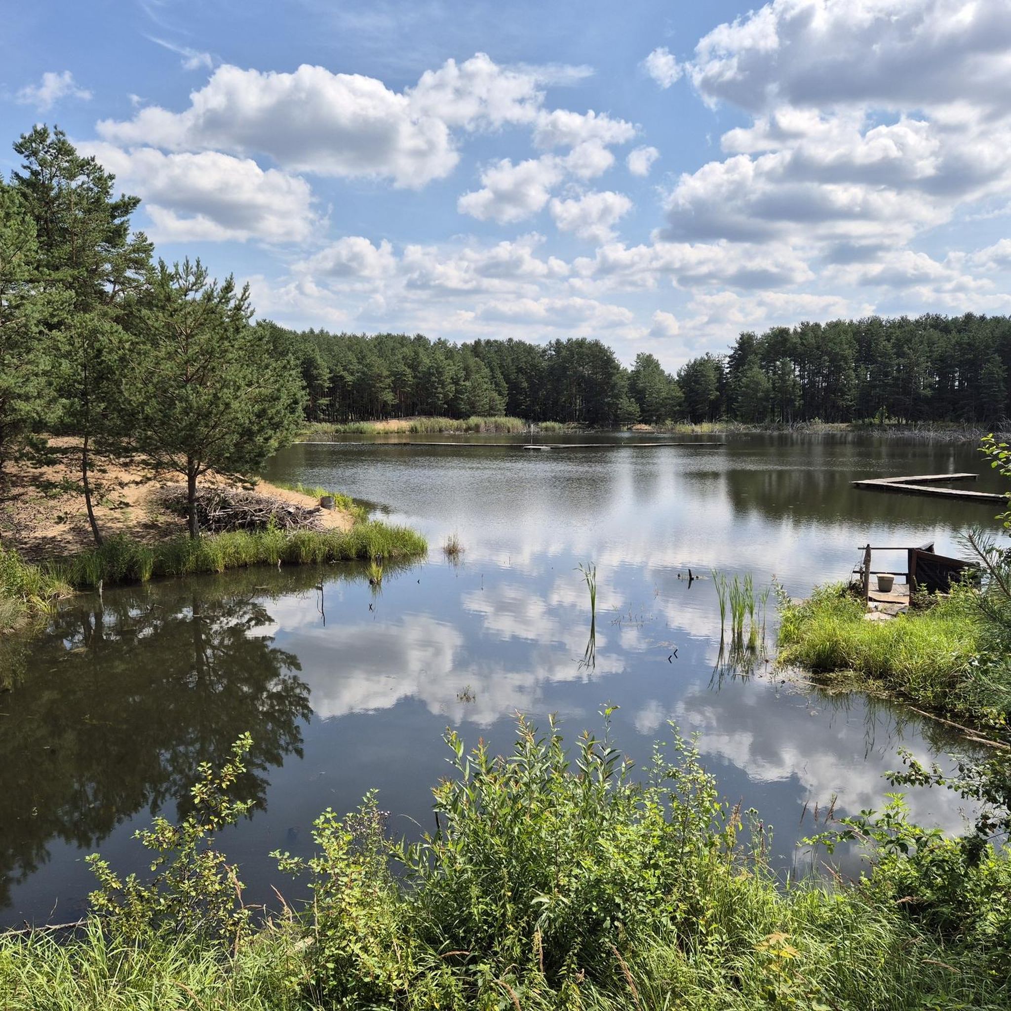
The title under the photo should read: view of the Wąchcki Reservoir
0
0

The place is nice, but the views aren't impressive, especially when there's no water :(
0
0

A must visit on Sieradowicki
0
0

this is one big attraction this single track
0
0

There is a shelter and a fireplace.
0
0

A place for a bonfire and a barbecue under the shelter. People! Clean up after yourselves!
0
0
Wykus was the base of Polish partisans. During the January Uprising, insurgents commanded by Marian Langiewicz were stationed here. During World War II, camps of Polish underground soldiers were located here, first under the command of Maj. Henryk Dobrzański "Hubal", later the Home Army Partisan Groups "Ponury" - lieutenant cc. Jan Piwnik "Ponury". On On September 15, 1957, in the place of the former camp, a chapel with the image of Our Lady of Sorrows was unveiled, commemorating those who died in the fight for the homeland. On its walls there are 123 nicknames of soldiers who died during the war. The shrine is surrounded by a wall, on which there are several hundred plaques with the names of the dead soldiers of the "Ponury" and "Nurt" groups. The chapel with the surrounding area within a radius of 30 m is the "Wykus" National Memorial Site and is entered in the register of immovable monuments. Every year, on the second Saturday of June, ceremonies commemorating the fallen soldiers of the Partisan Groups of the Home Army "Ponury" are organized in Wykus. Wykus (326 m above sea level) is also a nature reserve.
0
0
Polana Langiewicza is commonly regarded as a campsite for insurgent troops led by General Marian Langiewicz during the January Uprising in 1863. However, there is no evidence that the insurgents were stationed in this exact place and that General Langiewicz himself stayed there. This place was indicated by Capt. Wojdacki, writing that "there was a spring and an oak grew, where General Marjan Langiewicz sat as if on a stool". The place was marked for the first time in 1925, during the convention of veterans of the 1863 uprising. Then, after the holy mass in Wąchock, the participants of the reunion went to the clearing, where a commemorative plaque was consecrated. The plaque was made in a foundry in Skarżysko, owned by Kazimierz Jan Witwicki, son of Jan Witwicki, an insurgent. At that time, the plaque was hung on an oak - today it is hung on a pine.
0
0
Frequently Asked Questions
How many hiking trails are available in Rezerwat Archeologiczny „Rydno”?
Rezerwat Archeologiczny „Rydno” offers a diverse network of over 60 hiking routes. These trails cater to various preferences, with options ranging from easy strolls to more challenging expeditions.
What kind of terrain can I expect when hiking in Rezerwat Archeologiczny „Rydno”?
Hikers in Rezerwat Archeologiczny „Rydno” can expect a varied landscape characterized by beautiful forest and meadow scenery. The trails often follow the Upper Kamienna River valley, featuring geological formations of Triassic and Jurassic sandstones. You'll encounter natural features like the Kamienna River and Żarnówka River, though some sections may present challenges such as deep sand, fallen trees, and potentially missing footbridges, requiring careful navigation.
Are there hiking trails for all skill levels in Rezerwat Archeologiczny „Rydno”?
Yes, Rezerwat Archeologiczny „Rydno” provides trails for all skill levels. The area features 32 easy routes, 32 moderate routes, and 5 difficult routes, ensuring that both casual walkers and experienced hikers can find a suitable path.
What makes Rezerwat Archeologiczny „Rydno” unique for hikers?
What truly sets Rezerwat Archeologiczny „Rydno” apart is its rich archaeological heritage. It's a unique concentration of Stone Age settlements, known for the extraction of hematite and the processing of chocolate flint. Hiking here offers a blend of natural beauty and an educational journey through prehistory, allowing you to explore ancient mining sites and learn about early human activity.
Are there any circular hiking routes available in Rezerwat Archeologiczny „Rydno”?
Yes, there are several circular routes to enjoy. A popular easy option is the Wąchock Dam – View of the Wąchocki Lagoon loop from Wąchock. For a more extensive challenge, consider the difficult View of the Wąchocki Lagoon – Wąchock Dam loop from Michałów, which offers expansive views of the lagoon.
What interesting landmarks or attractions can I see along the trails?
While hiking, you can discover several points of interest that highlight the region's history and natural beauty. These include the Old Mill on the River, the Pond and Weir at Łyżwy Mill, and the Remains of the Old Mill in Marcinków. These sites offer glimpses into the area's past and its connection to the Kamienna River.
Are the hiking trails in Rezerwat Archeologiczny „Rydno” suitable for families with children?
Many of the easy and moderate trails in Rezerwat Archeologiczny „Rydno” are suitable for families. The varied forest and meadow landscapes provide an engaging environment for children. For example, the Hiking loop from Majków is an easy 4.1-mile trail that offers a pleasant experience for families.
Are dogs allowed on the hiking trails in Rezerwat Archeologiczny „Rydno”?
Generally, dogs are welcome on the hiking trails in Rezerwat Archeologiczny „Rydno”. However, it's always recommended to keep your dog on a leash, especially in areas with wildlife or near archaeological sites, to ensure their safety and respect for the natural environment and other visitors.
What do other hikers enjoy the most about hiking in Rezerwat Archeologiczny „Rydno”?
The area is highly rated by the komoot community, with an average score of 4.9 stars from over 80 reviews. Hikers often praise the unique combination of natural forest and meadow scenery with the profound historical context of the archaeological sites. The diverse range of trails, from easy to difficult, also contributes to its popularity.
Are there any longer, more challenging routes for experienced hikers?
Yes, for experienced hikers seeking a challenge, there are several longer and more difficult routes. The View of the Wąchocki Lagoon – Wąchock Dam loop from Michałów is a difficult 16.5-mile path that provides extensive views and a significant workout. There are 5 routes specifically graded as difficult in the region.
What is the best time of year to visit Rezerwat Archeologiczny „Rydno” for hiking?
The best time to visit Rezerwat Archeologiczny „Rydno” for hiking is typically during spring, summer, and early autumn. These seasons offer pleasant weather conditions for exploring the forest and meadow landscapes. Spring brings blooming flora, summer provides lush greenery, and autumn showcases vibrant fall colors, enhancing the natural beauty of the trails.
Are there any historical or memorial sites along the trails?
Yes, the region has historical significance beyond its archaeological past. You can find memorial sites such as the Langiewicz Clearing Memorial – Wykus Memorial at Polana Wykus loop from Górne. This moderate 8.5-mile route allows you to explore areas with historical importance, adding another layer to your hiking experience.
Most popular routes in Rezerwat Archeologiczny „Rydno”
Most popular attractions in Rezerwat Archeologiczny „Rydno”

Get inspired with the komoot mobile app


Explore more
Browse the best Hikes in other regions.
