The best MTB trails in Schmoner Busch, Spielberger Höhe Und Elsloch
4.7
(107)
434
riders
60
rides
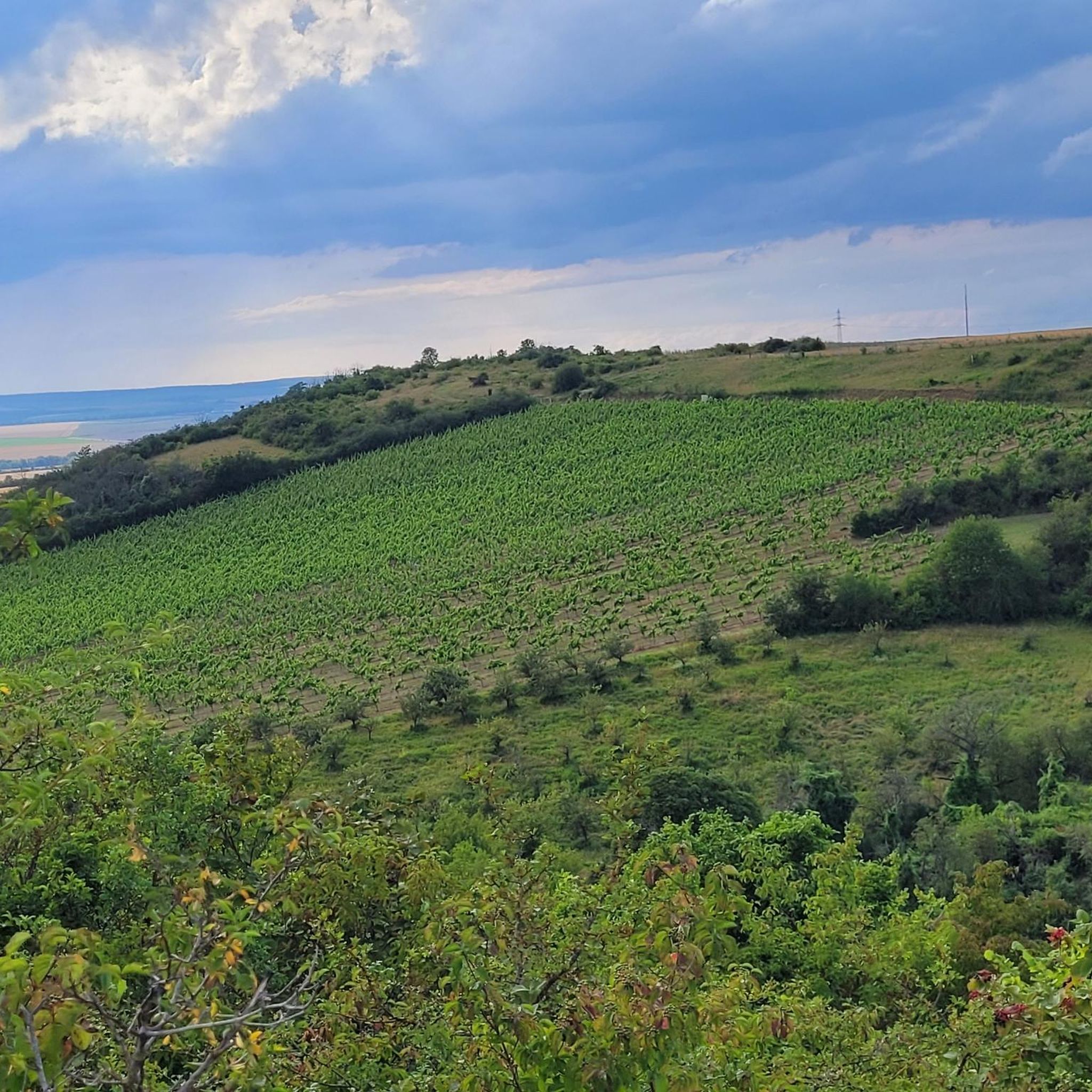
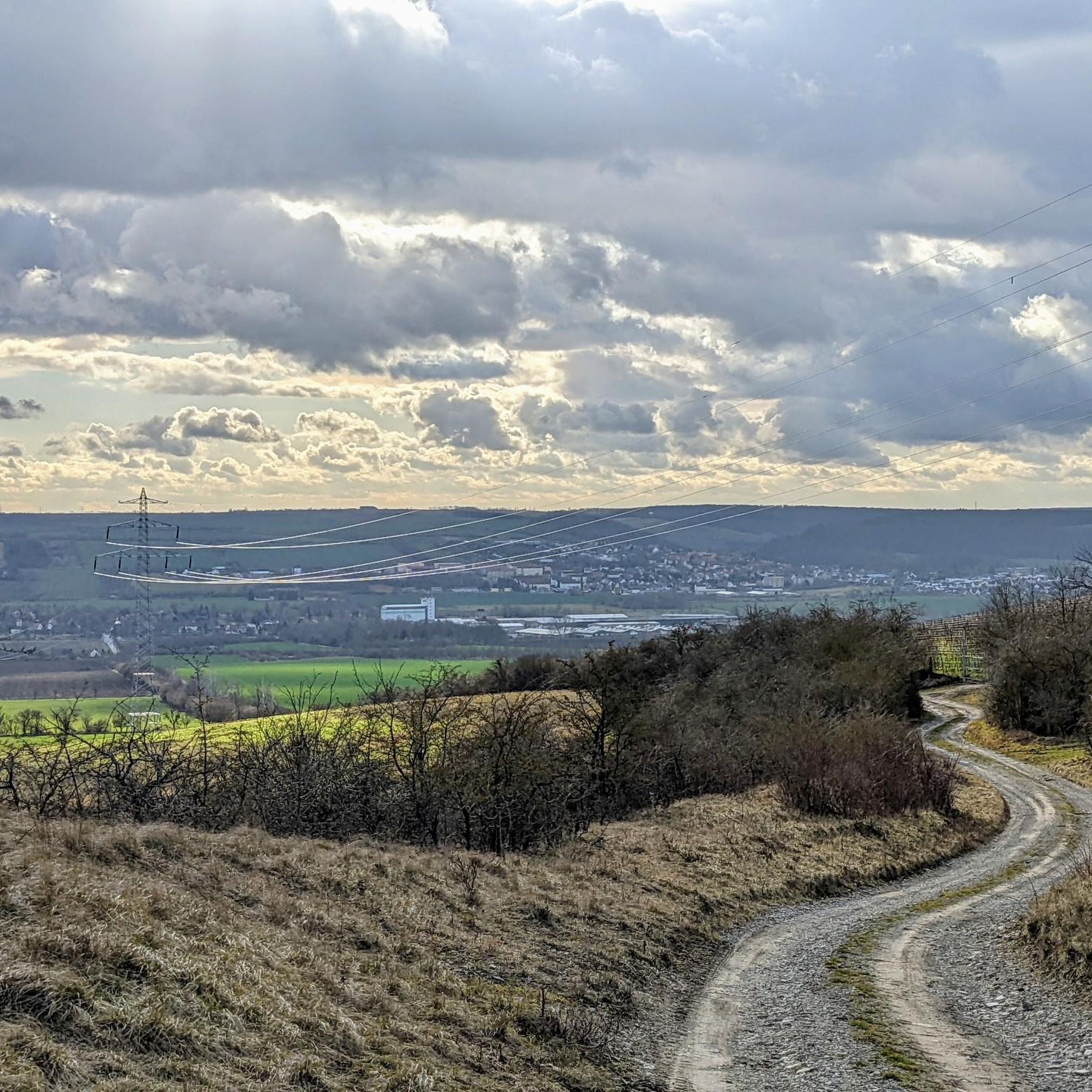
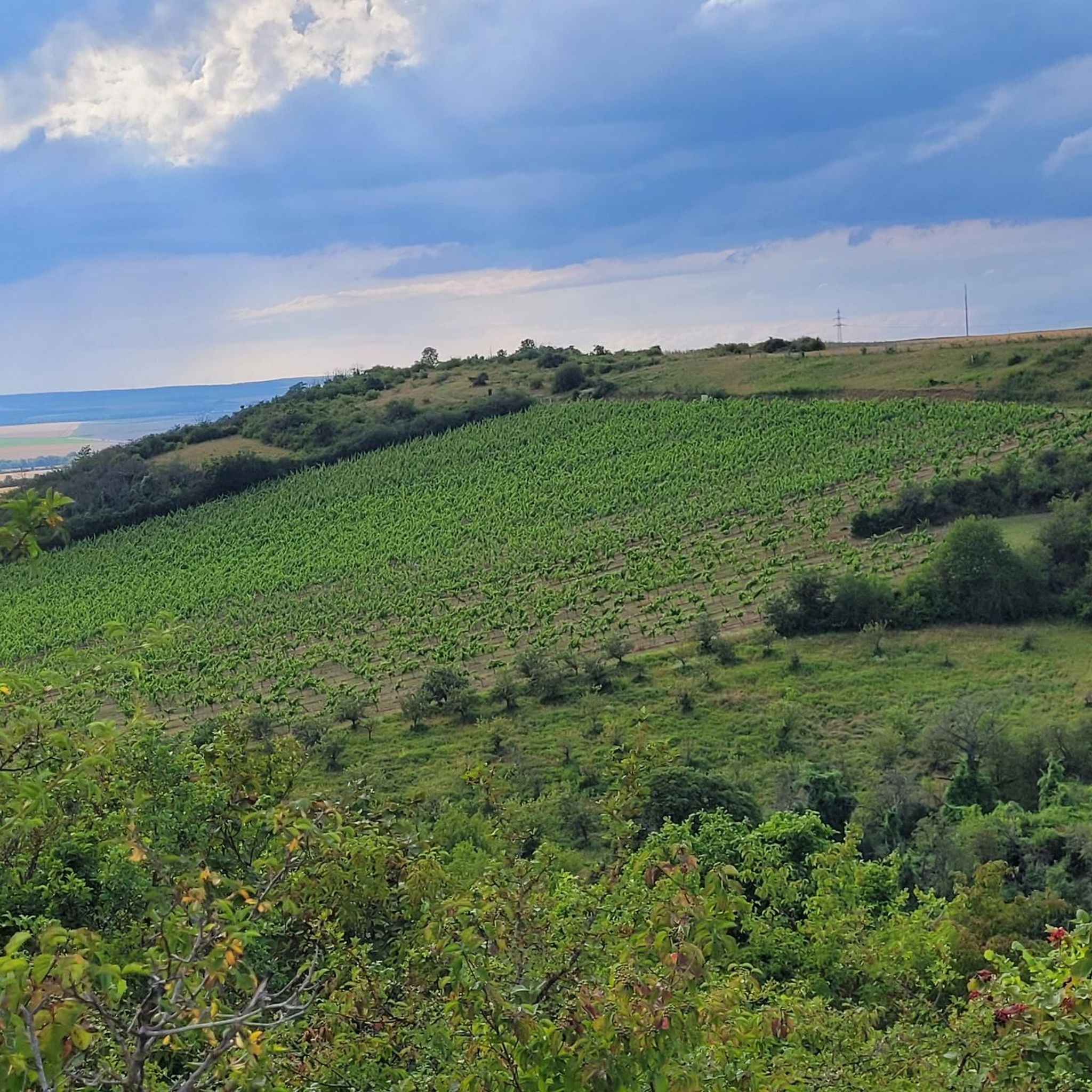
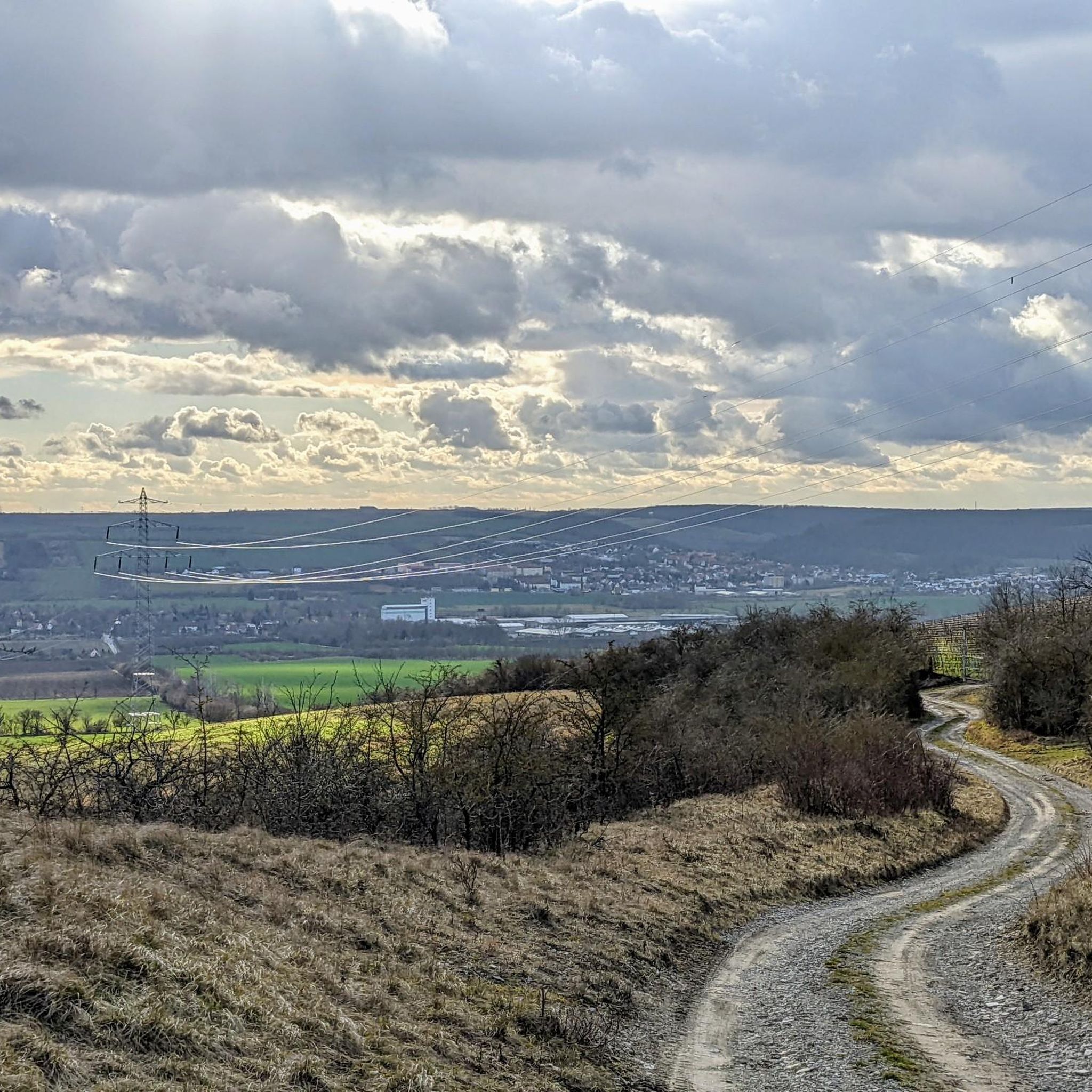
Mountain biking in Schmoner Busch, Spielberger Höhe Und Elsloch offers routes through a significant nature reserve characterized by steep slopes and shell limestone bedrock. The area features diverse natural oak and linden forests, alongside extensive orchid-rich grasslands and traditional orchards. Riders can expect varied terrain, including sections with lower Muschelkalk and Wellenkalk formations, providing a range of experiences for different skill levels.
Best mountain bike trails in Schmoner Busch, Spielberger Höhe Und Elsloch
- The most popular mountain bike trail is…
Last updated: July 8, 2026
10
riders
6.53km
00:35
90m
90m
Easy mountain bike ride. Great for any fitness level. Suitable for all skill levels.
5
riders
Moderate mountain bike ride. Good fitness required. Suitable for all skill levels.

Sign up for free
4.7
(30)
135
riders
69.6km
03:42
250m
250m
Moderate mountain bike ride. Good fitness required. Suitable for all skill levels.
5.0
(2)
8
riders
14.5km
00:53
90m
90m
Easy mountain bike ride. Great for any fitness level. Suitable for all skill levels.
5.0
(4)
8
riders
13.2km
00:56
170m
170m
Easy mountain bike ride. Great for any fitness level. Suitable for all skill levels.
Get access to more routes and recommendations from other explorers.
Sign up for free
Already have an account?
Our route recommendations are based on thousands of hikes, rides, and runs completed by other people on komoot.
Start today with a free account
Your next adventure awaits.
Login or Signup
Popular around Schmoner Busch, Spielberger Höhe Und Elsloch

Tips from the Community

A beautiful mill on the Unstrutradweg near Freyburg.
0
0

This highlight is about the 360-degree panoramic view from the observation tower. At the top of the tower, most of the visible points are described on the parapet.
1
0
The ferry is not in operation in winter, current ferry times: April 1st to November 1st, 2026 Monday to Thursday | 10:00-18:00 Friday and Saturday | 9:00-19:00 Sunday and public holidays | 9:00-18:00 October: Friday and Saturday | 9:00-18:00 Lunch break 13:00-13:30 every Friday, Saturday, Sunday and public holidays And if the ferryman is not visible, then call out loudly: "Ferryman, ferry over!" or knock with the ferry iron.
0
0
You should ride carefully here, especially with oncoming traffic
1
0

We got there too early, and the cable ferry wasn't operating yet...so we took a small detour to get to the other side. It wasn't a problem, and the path was beautiful 🥰
3
0

The cycle path is relatively narrow at this point, especially when there is oncoming traffic.
1
0

At the site where the Nebra Sky Disk was discovered, a 30-meter-high observation tower now stands on the Mittelberg mountain. The modern tower is tilted 10° and oriented north-south, like a sundial hand. It provides a view of astronomically significant points such as the Brocken and makes Bronze Age celestial observations more comprehensible. The tower symbolizes the interplay of heaven, earth, and humanity—then as it does today—and is freely accessible to visitors at all times.
5
0

A great photo opportunity. Great for history buffs. Right next door is the beautiful Untstrut Valley.
0
0
Frequently Asked Questions
What kind of terrain can I expect on mountain bike trails in Schmoner Busch, Spielberger Höhe Und Elsloch?
The region is characterized by diverse terrain, including steep slopes and shell limestone bedrock. You'll ride through natural oak and linden forests, as well as areas with lower Muschelkalk and Wellenkalk formations. Expect varied landscapes, from dense woodlands to open orchid-rich grasslands and traditional orchards.
How many mountain bike trails are available in the area, and what are their difficulty levels?
There are over 60 mountain bike trails in Schmoner Busch, Spielberger Höhe Und Elsloch. The majority are suitable for easy to moderate skill levels, with 26 easy routes and 38 moderate routes. There are no difficult trails listed, making it accessible for a wide range of riders.
Are there any circular mountain bike routes in Schmoner Busch, Spielberger Höhe Und Elsloch?
Yes, many routes in the area are circular. For example, you can try the Reservoir Structure loop from Querfurt, an easy 6.5 km ride. Another option is the moderate Mittelberg Observation Tower – Mittelberg Lookout Tower loop from Reinsdorf (bei Nebra), which covers about 32.2 km.
What natural features or landmarks can I see along the mountain bike trails?
The area is rich in natural beauty. You can encounter unique geological formations like the Shell limestone slopes above Spielberg and visit the Orthalsborn Spring with Bench. Don't miss the extensive Schmoner Busch Orchid Meadows, especially vibrant in spring and early summer.
Are there any viewpoints or scenic spots accessible by mountain bike?
Yes, the region offers several scenic spots. The Mittelberg Observation Tower – Mittelberg Lookout Tower loop from Reinsdorf (bei Nebra) provides views of the Mittelberg Observation Tower. Additionally, you can find a Cliff viewpoint offering expansive vistas of the surrounding landscape.
What do other mountain bikers say about the trails in Schmoner Busch, Spielberger Höhe Und Elsloch?
The mountain bike trails in this region are highly regarded by the komoot community, with an average rating of 4.7 stars from over 90 reviews. Riders often praise the diverse natural landscapes, including the quiet oak and linden forests, and the well-maintained paths that offer a varied riding experience.
Are there any family-friendly mountain bike routes?
Yes, there are several easy routes suitable for families. The Reservoir Structure loop from Querfurt is an easy 6.5 km trail that takes about 35 minutes, perfect for a shorter family outing. Another easy option is the Querfurt Castle – Reservoir Structure loop from Querfurt, which is about 14.4 km long.
Can I bring my dog on the mountain bike trails?
While the nature reserve is a protected area, many trails are generally dog-friendly. However, it's always recommended to keep dogs on a leash, especially in areas with sensitive wildlife or livestock, and to respect local regulations. The diverse forests and open spaces offer pleasant environments for rides with your canine companion.
What is the best time of year to go mountain biking in this region?
The region offers enjoyable riding conditions throughout much of the year. Spring is particularly beautiful with the blooming orchid meadows, while autumn provides stunning foliage in the diverse forests. Summer is also popular, but be mindful of warmer temperatures. Always check local weather conditions before heading out.
Are there any longer mountain bike tours for experienced riders?
For those seeking a longer challenge, the Laucha Lock and Weir – View of the Zscheiplitz Monastery loop from Nebra is a moderate 69.6 km trail. This route leads through varied landscapes and can take around 3 hours 40 minutes to complete, offering a more extensive exploration of the area.
Where can I find parking for mountain biking in Schmoner Busch, Spielberger Höhe Und Elsloch?
While specific parking areas for mountain bikers are not detailed, starting points for many routes are often near towns like Querfurt and Nebra. It's advisable to look for designated parking in or around these towns, or at trailheads, keeping in mind local parking regulations.
Is it possible to reach the mountain bike trails using public transport?
The region is situated south of Querfurt and extends towards the Nebra Unstrut valley. While direct public transport to specific trailheads might be limited, you can likely reach nearby towns like Querfurt or Nebra via regional bus or train services. From there, you might need to cycle a short distance to access the trails.
Most popular routes in Schmoner Busch, Spielberger Höhe Und Elsloch
Most popular attractions in Schmoner Busch, Spielberger Höhe Und Elsloch

Get inspired with the komoot mobile app


Explore more
Browse the best MTB trails in other regions.
