The best MTB trails in Jägersruh-Gemäßgrund-Mulschwitzen
4.6
(1006)
2,935
riders
278
rides
Jägersruh-Gemäßgrund-Mulschwitzen mountain bike trails popular routes traverse a nature reserve characterized by its original landscape. The region features natural waterways like the Rodach River and the Fränkische Muschwitz, alongside diverse topography including hills and valleys. Forested areas and the "Schwarzer Teich" (Black Pond) contribute to the varied terrain, offering a natural environment for mountain biking.
Best mountain bike trails in Jägersruh-Gemäßgrund-Mulschwitzen
- The most popular mountain bike trail is Shelter on the Horse Trail – Rennsteig Forest Trail loop from Schlegel…
Last updated: July 10, 2026
4.3
(7)
25
riders
Moderate mountain bike ride. Good fitness required. Advanced riding skills necessary.
4.8
(5)
13
riders
Moderate mountain bike ride. Good fitness required. Advanced riding skills necessary.

Sign up for free
4.5
(38)
114
riders
15.8km
01:09
290m
290m
Easy mountain bike ride. Great for any fitness level. Suitable for all skill levels.
4.2
(9)
25
riders
39.7km
02:28
410m
410m
Moderate mountain bike ride. Good fitness required. Advanced riding skills necessary.
5.0
(4)
12
riders
49.9km
03:29
800m
800m
Moderate mountain bike ride. Good fitness required. Advanced riding skills necessary.
Get access to more routes and recommendations from other explorers.
Sign up for free
Already have an account?
Our route recommendations are based on thousands of hikes, rides, and runs completed by other people on komoot.
Start today with a free account
Your next adventure awaits.
Login or Signup
Tips from the Community

Beautiful slate rest area.
0
0
What a great idea with the cash register! The drinks are wonderfully chilled. I was happy to take advantage of the offer. You can leave a message on the slate stones!🤩
0
0

Great cycle path along the wild Rodach 🙂🚵👍
0
0

I like boards like this because you learn things.
4
0
From here you have a great view of the tower.
4
0
On the Marienweg to the dam of the Ködeltalsperre 🙂🚴👍
0
0

A very nice bike ride. Good fitness required 🚲 Beautiful scenery 😊
0
0

I would classify the tour as moderately difficult. A very beautiful route with great views.
0
0
Frequently Asked Questions
How many mountain bike trails are available in Jägersruh-Gemäßgrund-Mulschwitzen?
There are over 280 mountain bike routes in Jägersruh-Gemäßgrund-Mulschwitzen, offering a wide range of options for different skill levels and preferences.
What kind of terrain can I expect on the mountain bike trails in Jägersruh-Gemäßgrund-Mulschwitzen?
The terrain in Jägersruh-Gemäßgrund-Mulschwitzen is characterized by its natural, original landscape. You'll encounter diverse topography including hills and valleys shaped by rivers like the Rodach and Muschwitz. Forested areas are common, and natural waterways are a prominent feature, providing a dynamic environment for mountain biking.
What are the difficulty levels of mountain bike trails in Jägersruh-Gemäßgrund-Mulschwitzen?
The trails cater to various skill levels. There are around 49 easy routes, over 200 moderate routes, and about 28 difficult routes, ensuring options for beginners to experienced riders.
Are there any notable natural features or landmarks to see while mountain biking?
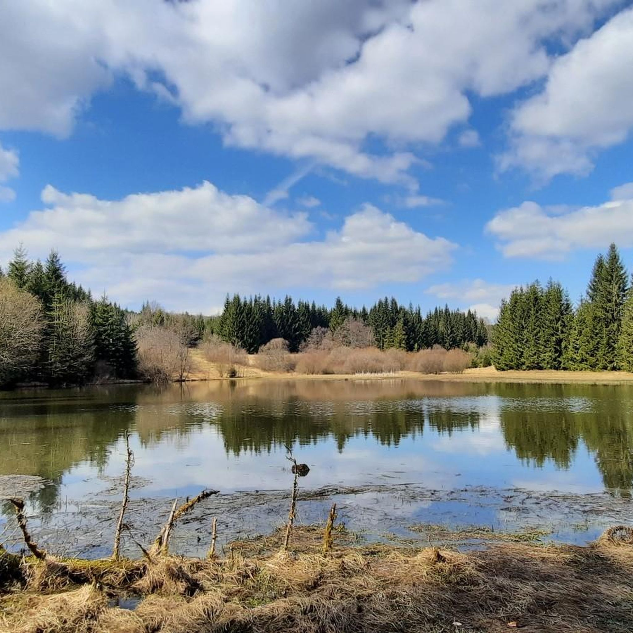
Yes, the region is rich in natural beauty. You can explore the Black Pond, a prominent natural highlight through which the Fränkische Muschwitz flows. Other points of interest include the Shelter on the Horse Trail and the Kulm Bridge. The Green Belt Column Trail also offers scenic views.
Are there circular mountain bike routes in the area?
Many of the mountain bike routes in Jägersruh-Gemäßgrund-Mulschwitzen are designed as loops. For example, you can ride the 12 Apostles – Drinks Cave loop from Langenbacher Forst, which is a moderate 19 km trail, or the Ködel Reservoir – Ködel Dam loop from Nordhalben, an easy 15.8 km route.
Are there family-friendly mountain bike trails in Jägersruh-Gemäßgrund-Mulschwitzen?
Yes, there are numerous easy routes suitable for families. An example is the Shelter at Kahlenberg – Black Pond loop from Neundorf, an 18.9 km trail that leads through forested paths around the Black Pond, offering a pleasant ride for various skill levels.
Can I bring my dog on the mountain bike trails in Jägersruh-Gemäßgrund-Mulschwitzen?
As Jägersruh-Gemäßgrund-Mulschwitzen is a nature reserve, it's generally recommended to keep dogs on a leash to protect the local flora and fauna. While specific regulations for dogs on bike trails can vary, adhering to general nature reserve guidelines is advisable.
What do other mountain bikers enjoy most about mountain biking in Jägersruh-Gemäßgrund-Mulschwitzen?
The area is highly rated by the komoot community, with an average score of 4.6 stars from over 900 reviews. Riders often praise the pristine, original landscape, the diverse terrain with its natural waterways and forested areas, and the well-established network of trails that offer varied experiences.
Is there parking available near the mountain bike trails?
While specific parking locations are not detailed for every trail, the presence of an established trail network and visitor numbers suggests that parking facilities are available at common access points or trailheads within and around the nature reserve, such as near towns like Nordhalben or Bad Steben.
What is the best time of year for mountain biking in Jägersruh-Gemäßgrund-Mulschwitzen?
The varied topography and forested areas make the region enjoyable across different seasons. Spring and autumn offer pleasant temperatures and vibrant scenery, while summer provides longer daylight hours. Winter riding might be possible depending on snow conditions, but trails could be more challenging.
Are there any cafes or pubs near the mountain bike trails for refreshments?
While the nature reserve itself emphasizes untouched natural beauty, surrounding towns and villages like Nordhalben or Bad Steben, which serve as common starting points for tours, are likely to offer cafes, pubs, and other amenities for refreshments after your ride.
Most popular routes in Jägersruh-Gemäßgrund-Mulschwitzen
Most popular attractions in Jägersruh-Gemäßgrund-Mulschwitzen

Get inspired with the komoot mobile app


Explore more
Browse the best MTB trails in other regions.
