The best walks and hikes in Höllental
4.6
(7868)
30,096
hikers
26
hikes
Hiking in Höllental offers diverse landscapes, characterized by deep, gorge-shaped valleys and dramatic rock formations. The region features slopes rising hundreds of meters high, with streams like the Rotbach (Höllenbach) meandering through the terrain. Hikers can expect a mix of narrow passages, open alpine areas, and impressive viewpoints. The area provides a variety of trails suitable for different fitness levels.
Best hiking trails in Höllental
- The most popular hiking route is Between Heaven and Hell: The Rock Path, a…
Last updated: July 5, 2026
4.8
(174)
509
hikers
5.61km
01:41
110m
110m
Moderate hike. Great for any fitness level. Mostly accessible paths. Sure-footedness required.
4.9
(781)
2,570
hikers
Moderate hike. Good fitness required. Easily-accessible paths. Suitable for all skill levels.

Sign up for free
4.8
(176)
533
hikers
Moderate hike. Good fitness required. Mostly accessible paths. Sure-footedness required.
4.8
(76)
269
hikers
5.98km
01:52
190m
190m
Moderate hike. Great for any fitness level. Mostly accessible paths. Sure-footedness required.
5.0
(18)
44
hikers
4.95km
01:34
150m
150m
Moderate hike. Great for any fitness level. Mostly accessible paths. Sure-footedness required.
Get access to more routes and recommendations from other explorers.
Sign up for free
Already have an account?
Our route recommendations are based on thousands of hikes, rides, and runs completed by other people on komoot.
Start today with a free account
Your next adventure awaits.
Login or Signup



Tips from the Community

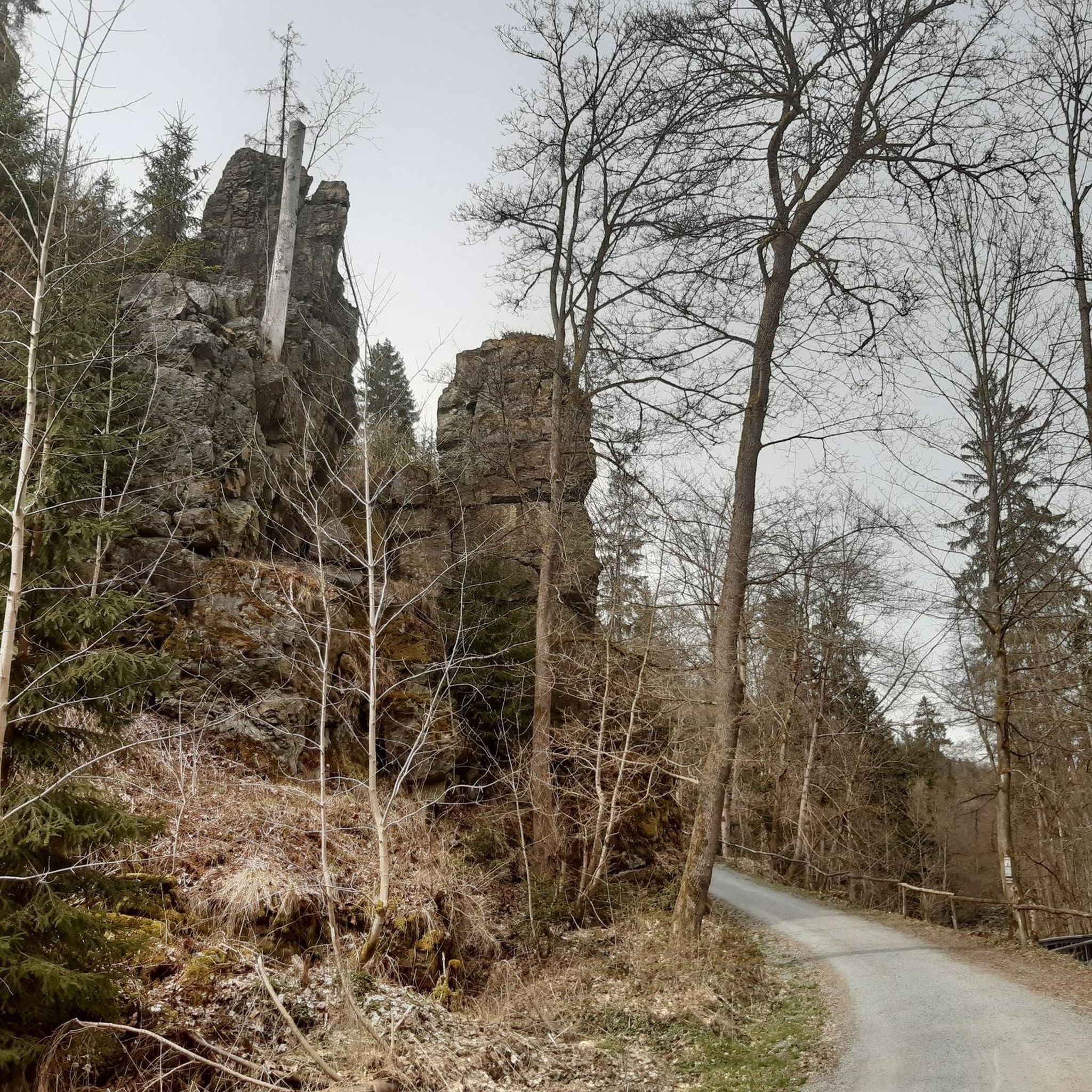
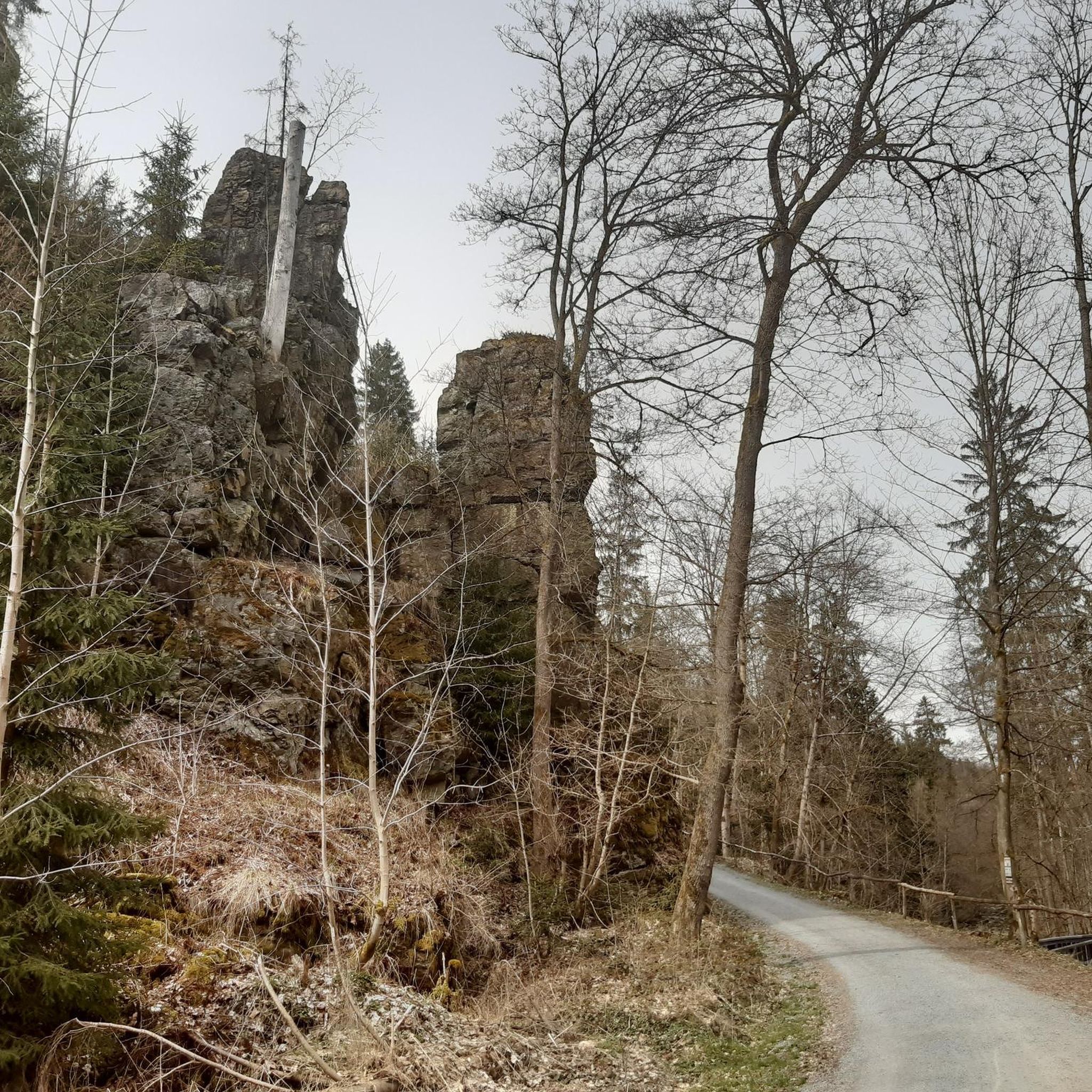
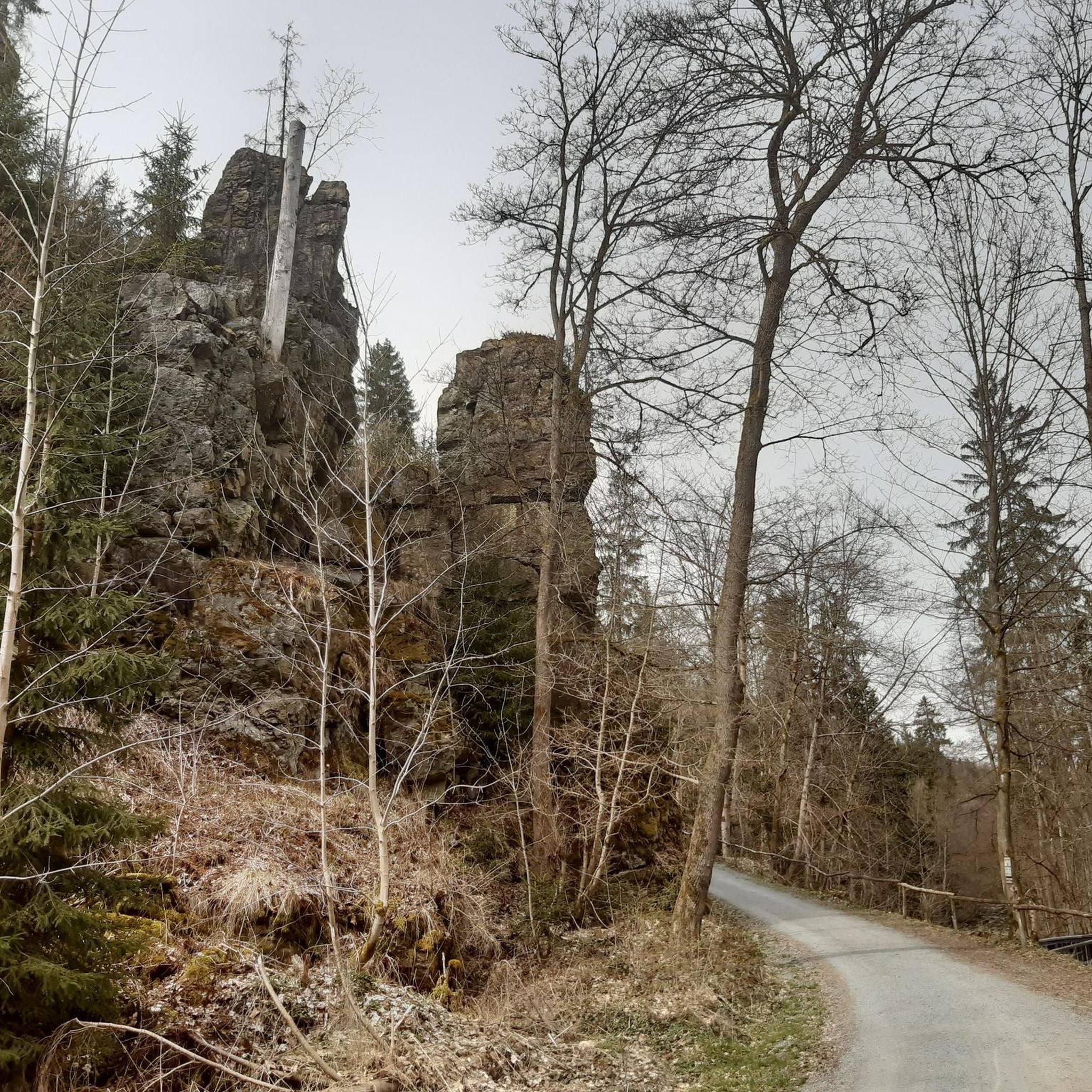
you walk along the rocky path: great wild hiking trail over hill and dale, lots of views, lots of rock
0
0
you walk along the rocky path: great wild hiking trail over hill and dale, lots of views, lots of rock
0
0
The stairs make the descent to the water tower less arduous
0
0
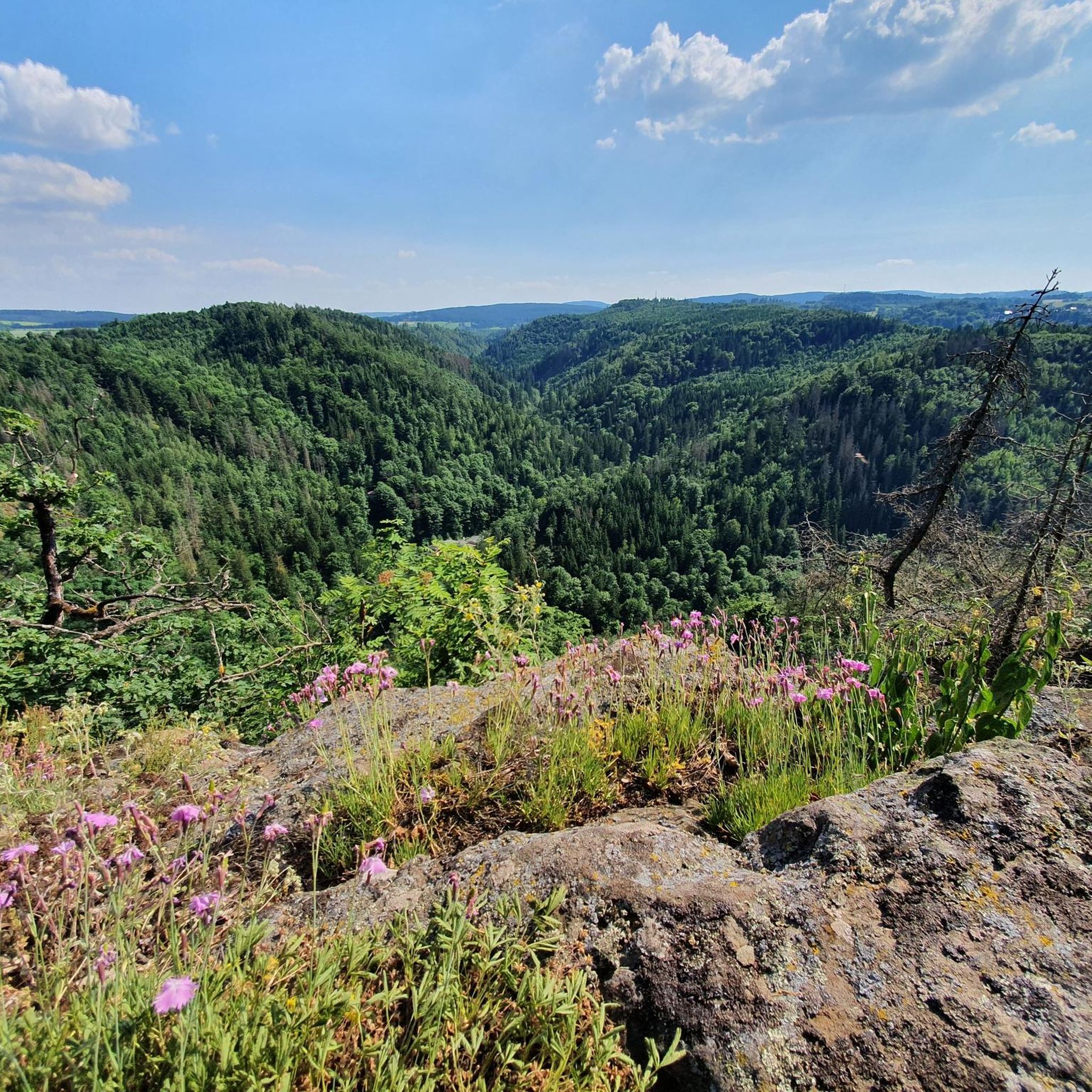
The first beautiful and spectacular view over the valley. The bench provides a lovely place to linger.
0
0

A beautiful rest area with a magnificent view of the Höllental and the Lichtenberg castle ruins.
1
0

In 1933, a wood mill was converted into the current hydroelectric power plant. Along the right bank of the Selbitz River, the 1.60-meter-high pipes run 1,855 meters in length, with a drop of 37.4 meters, carrying water from the weir to the water tower and from there into the power plant. During the summer months, on Sundays and public holidays, and when the water level is sufficient, a 28-meter-high water fountain can be seen at the power plant, delighting hikers.
14
0
The arched bridge of the Höllentalbahn, which ran between Triptis and Marxgrün, was in use from 1895 to 1945. After that, the railway line leading to Thuringia was discontinued. The Selbitz Viaduct is now a lost place.
11
0
A remarkable wooden bridge over the Selbitz River and a very popular photo subject in the Höllental Valley. According to legend, the Prince of Hell was once seen on the Devil's Bridge.
11
0
Frequently Asked Questions
How many hiking trails are available in Höllental?
Höllental offers a diverse network of over 25 hiking trails. These range from easier walks to more moderate routes, ensuring options for various fitness levels.
What kind of terrain can I expect when hiking in Höllental?
You can expect varied terrain characterized by deep, gorge-shaped valleys and dramatic rock formations. The trails often feature slopes rising hundreds of meters high, with streams like the Rotbach (Höllenbach) meandering through the landscape. Hikers will encounter a mix of narrow passages, impressive viewpoints, and forested sections.
Are there any notable landmarks or viewpoints to see along the trails?
Yes, Höllental is rich in natural landmarks and scenic viewpoints. You can explore the dramatic Höllental (Frankenwald Nature Park) itself, or visit the König David Viewpoint for expansive vistas. The iconic 👹 Höllental (Hell Valley) is also a significant natural monument in the area.
Are there any circular hiking routes in Höllental?
Yes, Höllental features several excellent circular routes. A popular option is the View of Hirschsprung Rock – 👹 Höllental (Hell Valley) loop from Lichtenberg, which offers views of the iconic Hirschsprung Rock. Another is the König David Viewpoint – Teufelssteg — Across the Selbitz loop from Lichtenberg, leading through varied terrain.
Are the trails in Höllental suitable for families with children?
Many trails in Höllental are suitable for families, particularly the easier and moderate routes. The region offers 14 easy and 11 moderate trails, providing plenty of options for different age groups and energy levels. Always check the specific trail details for distance and elevation before heading out with children.
What is the best time of year to go hiking in Höllental?
The best time to hike in Höllental is generally from spring through autumn when the weather is mild and the trails are clear. Spring brings lush greenery, while autumn offers vibrant foliage. While some trails might be accessible in winter, conditions can be challenging due to snow and ice, especially in gorge-like sections, so caution and appropriate gear are advised.
Are there options for more challenging hikes in Höllental?
While Höllental primarily offers easy to moderate trails, with 11 moderate routes available, the dramatic elevation changes and gorge-like sections can provide a challenging experience. Routes like the Between Heaven and Hell: The Rock Path, with its wild character and prominent rock features, offer a more adventurous feel.
What do other hikers enjoy most about the trails in Höllental?
The trails in Höllental are highly rated by the komoot community, with an average score of 4.6 stars from over 3,300 reviews. Hikers often praise the dramatic scenery, the unique gorge-like passages, and the impressive viewpoints. The variety of routes catering to different fitness levels is also frequently highlighted.
Can I bring my dog on the hiking trails in Höllental?
Generally, dogs are welcome on hiking trails in Höllental. However, it's always recommended to keep them on a leash, especially in nature reserve areas, near wildlife, or on narrow, busy paths. Some sections with steep drops or challenging terrain might not be suitable for all dogs, so consider your pet's fitness and agility.
Where can I park my car when visiting Höllental for a hike?
Specific parking information varies by trailhead. For routes starting near Lichtenberg, there are usually designated parking areas available. It's advisable to check local signage or online maps for the most convenient parking options close to your chosen starting point.
Are there places to eat or stay near the hiking trails in Höllental?
While the guide focuses on the trails, the surrounding towns and villages, such as Lichtenberg, often provide options for refreshments and accommodation. You can find local cafes, restaurants, and guesthouses to relax and refuel after your hike.
How can I get to the hiking trails in Höllental by public transport?
Access to Höllental trails by public transport depends on your starting point. The region is generally served by local bus networks. For detailed and up-to-date information on bus routes and schedules to trailheads, it's best to consult the regional public transport websites or local tourist information centers.
Most popular routes in Höllental
Most popular attractions in Höllental

Get inspired with the komoot mobile app


Explore more
Browse the best Hikes in other regions.
