The best walks and hikes in Steinbach
4.7
(9678)
28,816
hikers
658
hikes
Hiking in Steinbach, located in the Erzgebirgskreis district, is characterized by its diverse terrain within a natural park setting. The region features hills, forests, and valleys, offering varied elevation changes suitable for different hiking experiences. Trails often lead through wooded areas and past natural monuments, reflecting the area's geological and historical significance.
Best hiking trails in Steinbach
- The most popular hiking route is Basalt fan on the Hirtstein – Hirtstein loop from Steinbach, a 5.6 miles (9.0 km) trail…
Last updated: September 30, 2026
4.7
(3)
5
hikers
15.8km
04:27
310m
310m
Moderate hike. Good fitness required. Easily-accessible paths. Suitable for all skill levels.
4.5
(2)
4
hikers
Moderate hike. Good fitness required. Easily-accessible paths. Suitable for all skill levels.

4.7
(43)
105
hikers
22.0km
06:17
490m
490m
Hard hike. Very good fitness required. Easily-accessible paths. Suitable for all skill levels.
4.9
(7)
30
hikers
Easy hike. Great for any fitness level. Easily-accessible paths. Suitable for all skill levels.
4.9
(17)
56
hikers
17.2km
04:57
420m
420m
Moderate hike. Good fitness required. Easily-accessible paths. Suitable for all skill levels.
Get access to more routes and recommendations from other explorers.
Already have an account?
Our route recommendations are based on thousands of hikes, rides, and runs completed by other people on komoot.
Start today with a free account
Your next adventure awaits.
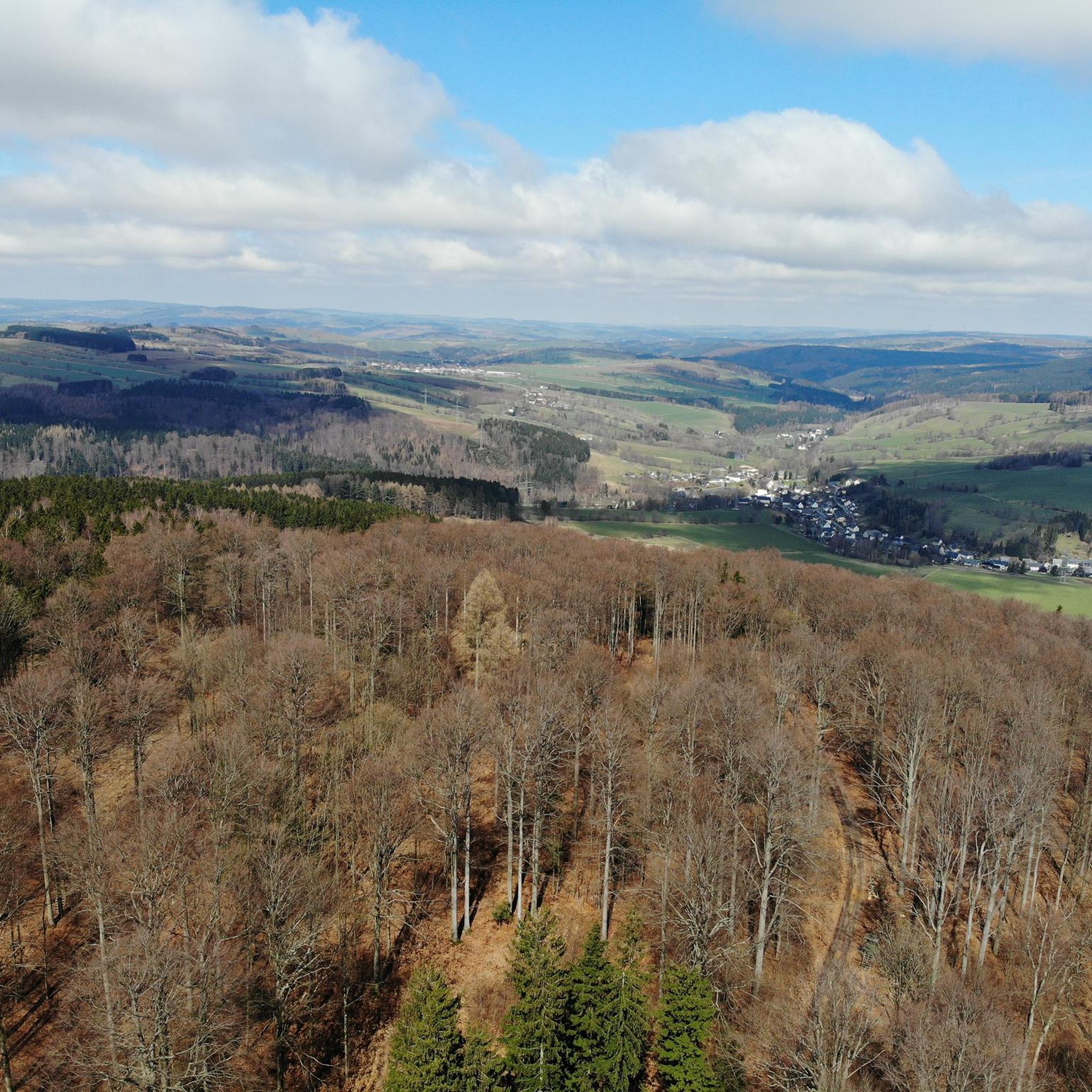
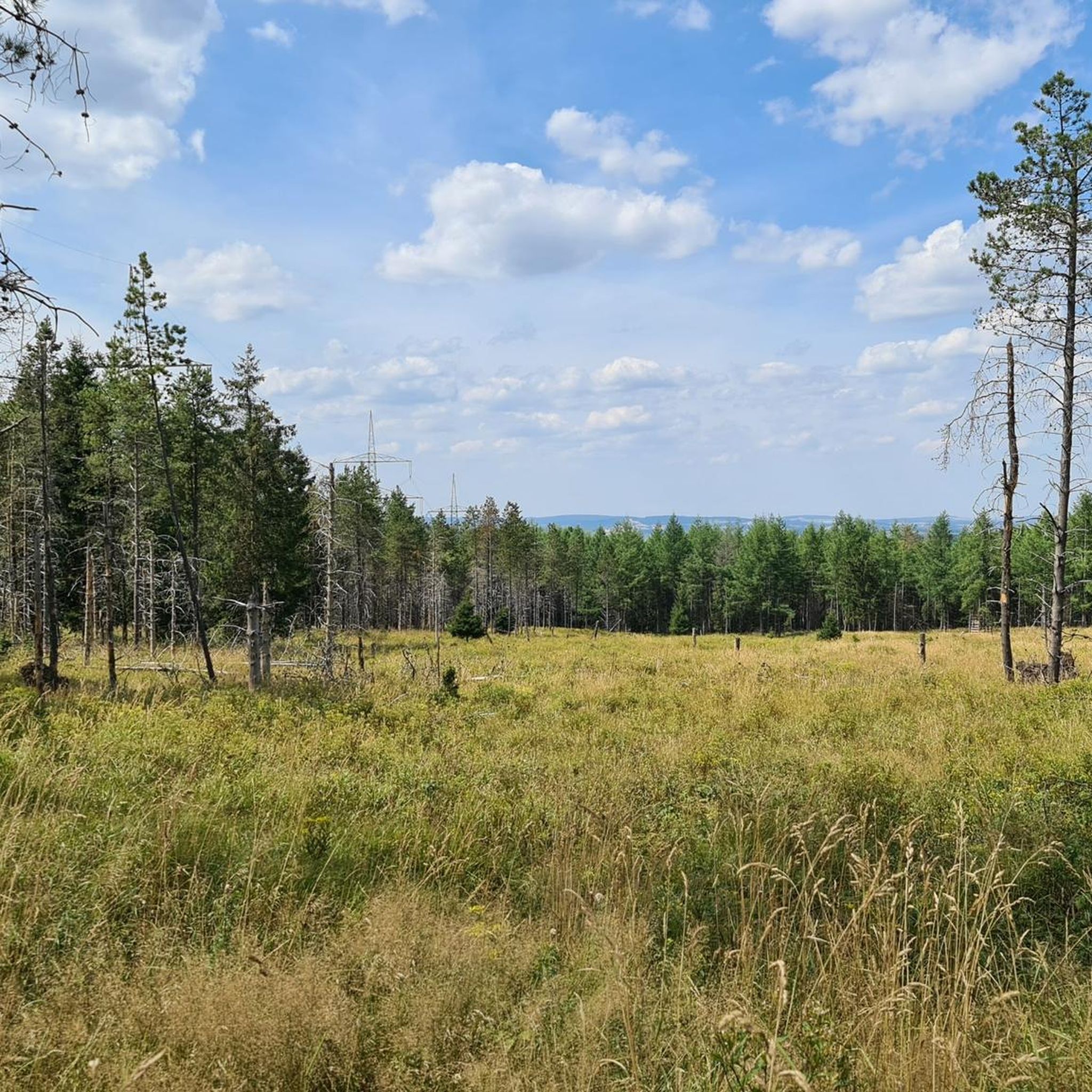
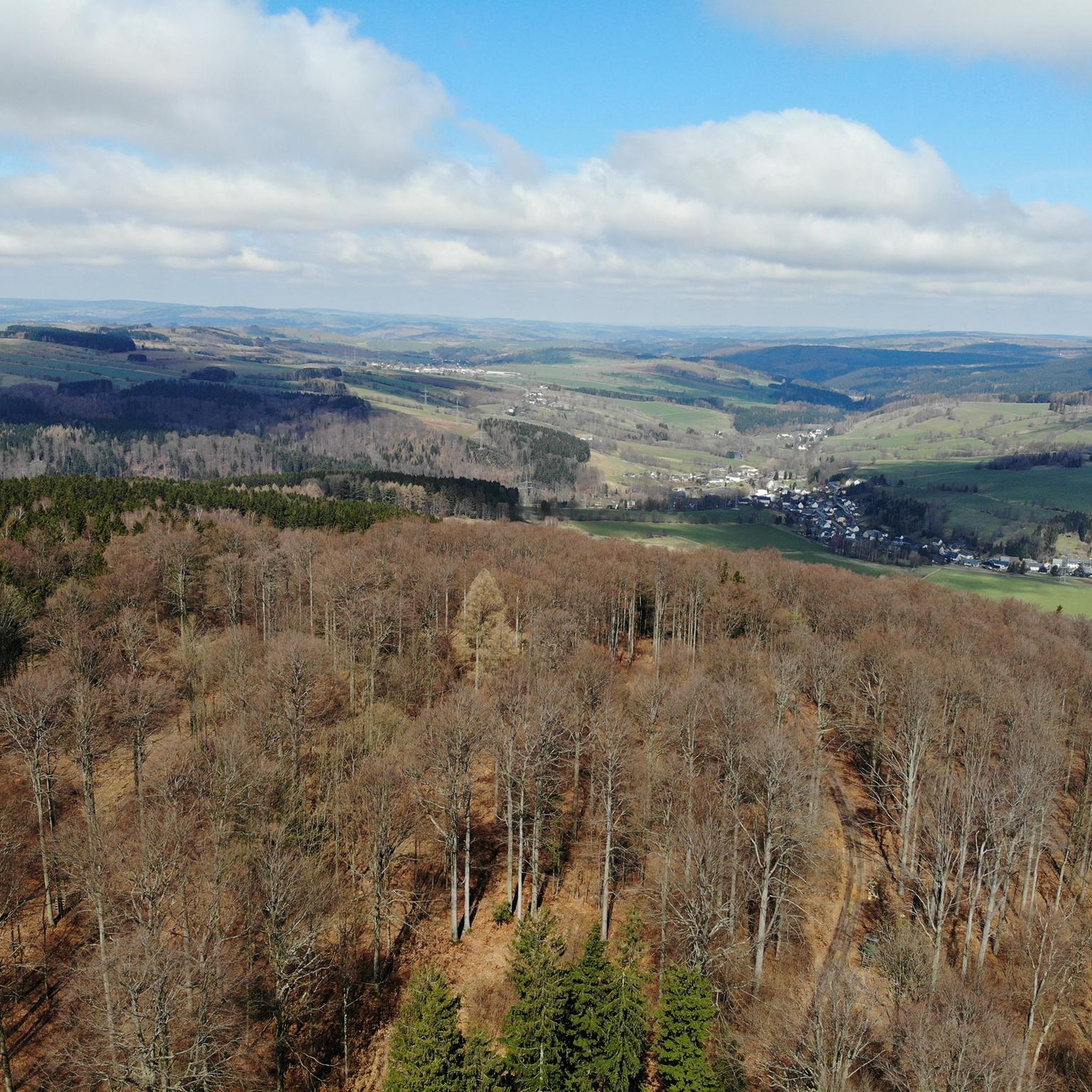
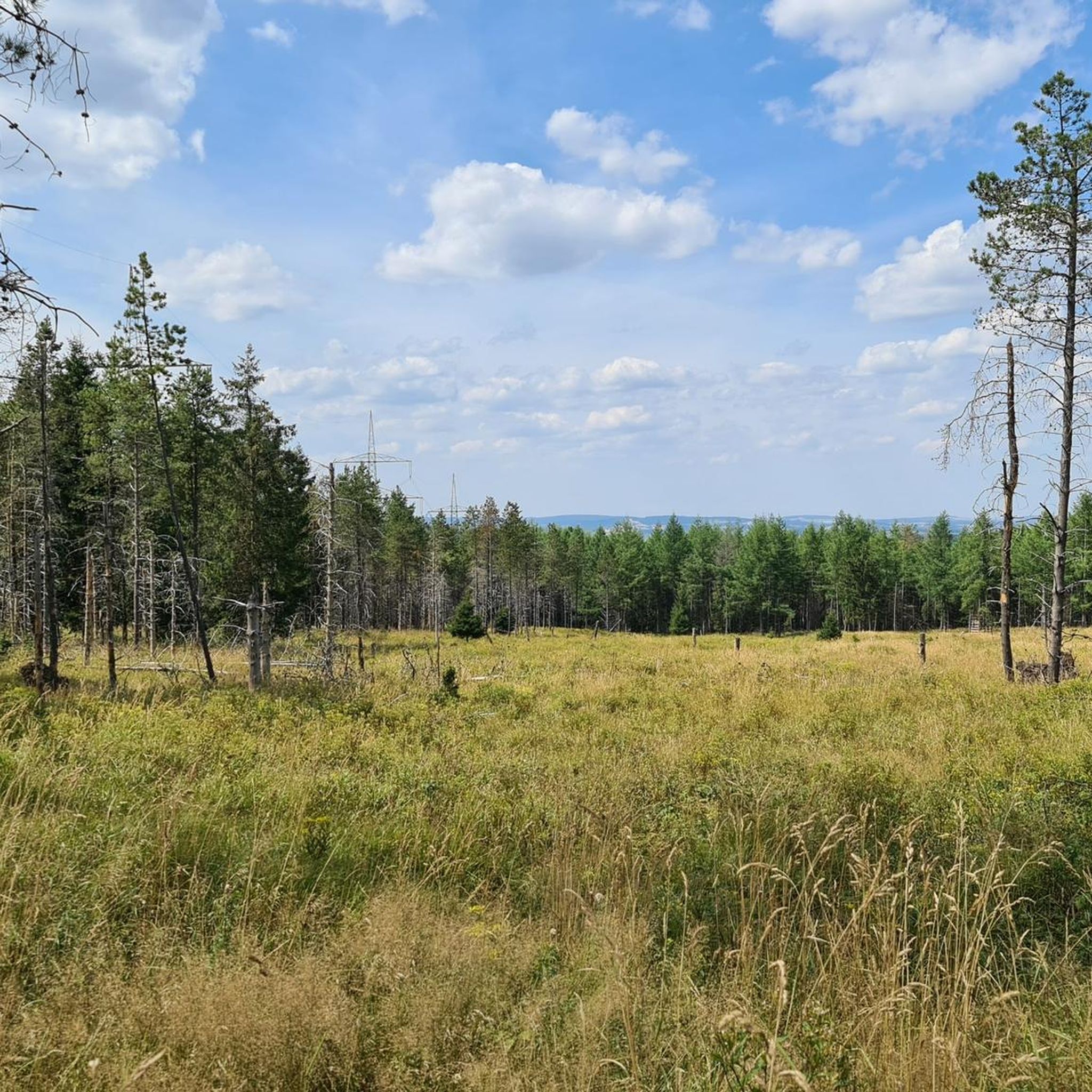
Tips from the Community

Idyllically nestled in the landscape, on the banks of the Preßnitz, between Steinbach and Schmalzgrube, you will find the "Andreas Gegentrum" mining field. Discover on a hike, whether on foot or by bike, along a mining educational trail, remnants of the over 800-year-old mining history of the Ore Mountains in its original state. In the 18th and 19th centuries, silver and cobalt were mined in the Andreas-Gegentrum adit. Today, the adit is maintained by the association Altbergbau Andreas-Gegentrum-Stolln and is being restored as a visitor mine. On public holidays and weekends, drinks and food are often offered at the visitor center. Then, the association members also gladly tell stories about "their" Andreas-Gegentrum adit. (https://www.erzgebirge-tourismus.de/familienzeit/poi/andreas-gegentrum-stolln/poi.html )
0
0
The Wolkenstein–Jöhstadt narrow-gauge railway (also Preßnitztalbahn) is a Saxon narrow-gauge railway with a track gauge of 750 mm in the middle and upper Ore Mountains. It ran from Wolkenstein to the Saxon-Bohemian state border near Jöhstadt. From Wolkenstein, it initially ran for about two kilometers in the Zschopau valley, to Schmalzgrube in the Preßnitz valley, and then in the Schwarzwasser valley. The line, which was closed in two stages in 1984 and 1986, was rebuilt between 1992 and 2000 on the Steinbach–Jöhstadt section as a museum railway. In 2023, the reconstruction of the Oberschmiedeberg station was completed, which is to be connected to Steinbach in the coming years. On June 1, 1892, the K.Sächs.Sts.E.B. inaugurated the line with a celebratory event. In the early years, operations were handled with three pairs of trains daily. Locomotive treatment facilities were available in both Jöhstadt and Wolkenstein. (Wikipedia)
0
0

Karl Stülpner from the Ore Mountains is a folk hero due to his adventures as a poacher. He died in Großolbersdorf in 1841!
1
0

The Stengelhaider Moor is definitely worth a visit. Free parking is available at the "Moor Nature Trail Parking Lot." An educational trail, partly on boardwalks, leads through the moor and features information panels explaining the vegetation, peat extraction, and renaturation measures. The highlight of the route is a viewing platform.
3
1


A wooden viewing point at the edge of the boardwalk offers hikers an impressive view of the surrounding moorland.
13
3
The two-and-a-half-kilometer-long Stengelhaide Moor Nature Trail leads through an Ore Mountains raised bog near the village of Kühnhaide. The Stengelhaide, a valley-deep bog fed by the Stinkenbach stream, has a peat layer up to six meters thick. Peat has been mined here since the Middle Ages. Peat mining ceased in 1990. Since then, efforts have been underway to revitalize the peat mass. The nature trail, mostly on 1.20-meter-wide paths made of oak planks, leads through the bog. Information panels explain the vegetation, peat extraction, and restoration measures. The highlight of the route is a viewing platform.
12
0
The bridge over the Schwarze Pockau (also Schwarzwasser, Czech: Černá) marks the border between the Federal Republic of Germany and the Czech Republic. It separates Reitzenhain in Saxony from the former town of Böhmisch Reizenhain. It is also considered the oldest existing border in Europe. It was established by Emperor Charles IV in 1372 and reaffirmed in 1459 with the Treaty of Cheb.
14
0
Frequently Asked Questions
What kind of hiking experience can I expect in Steinbach?
Steinbach, Manitoba, offers a unique blend of prairie landscapes and accessible trails. You'll find gentle prairie trails, ideal for quiet adventures and bird watching, alongside routes that venture into the nearby Sandilands Provincial Forest. The terrain often features packed dirt pathways, crushed gravel, and charming wooden bridges, with the earthy scent of pine and damp leaves in forested sections.
How many hiking trails are there in Steinbach, and what are their difficulty levels?
There are over 650 hiking routes available in Steinbach. These trails cater to various skill levels, with approximately 270 easy routes, 320 moderate routes, and 60 more challenging options for experienced hikers.
Are there any family-friendly hiking options in Steinbach?
Yes, Steinbach has many parks and green spaces suitable for families. The region's gentle prairie trails are often ideal for those seeking quiet adventures with children. Many of the 270 easy routes available are perfect for a family outing.
What are some notable natural features or landmarks to look out for on Steinbach's trails?
While hiking in Steinbach, you can encounter unique natural features like the tallgrass prairie ecosystem, especially in preserved areas south of the city. Some routes also lead past geological formations such as the basalt fan on the Hirtstein. For example, the Basalt fan on the Hirtstein – Hirtstein loop from Steinbach specifically highlights this feature.
Are there any circular hiking routes in Steinbach?
Yes, many of Steinbach's trails are designed as loops, offering convenient circular walks. A popular example is the Steinbach railway station – Mühlbaum Natural Monument loop from Steinbach, which takes you through wooded landscapes and past a natural monument.
What do other hikers say about the trails in Steinbach?
The hiking routes in Steinbach are highly regarded by the komoot community, holding an impressive average rating of 4.7 stars from over 7,100 reviews. Hikers often praise the diverse terrain, well-maintained paths, and the natural beauty of the forested hills and prairie landscapes.
Can I hike in Steinbach during winter?
Yes, the gentle prairie trails in Steinbach are also suitable for winter activities like skiing. While specific winter hiking conditions can vary, many trails remain accessible and offer a different kind of beauty during the colder months.
Are there any trails that offer viewpoints or scenic vistas?
While Steinbach is characterized by its prairie and forest landscapes, offering serene views, specific elevated viewpoints are less common than in mountainous regions. However, trails through the Sandilands Provincial Forest provide picturesque forest scenery, and open prairie sections offer expansive sky views.
Is public transport available to reach hiking trailheads in Steinbach?
Steinbach is a city in Manitoba, Canada. While local public transport options within the city exist, direct public transport to specific remote trailheads outside the city center might be limited. It's advisable to check local transit schedules or consider personal vehicle access for reaching more distant hiking spots.
Where can I find parking near hiking trails in Steinbach?
Parking is generally available at various parks and green spaces within Steinbach, such as A.D. Penner Park and L.A. Barkman Park, which often serve as starting points for walks. For trails venturing into areas like the Sandilands Provincial Forest, designated parking areas are typically provided at trailheads.
Are there any cafes or amenities near the hiking trails in Steinbach?
Steinbach, as a city, offers various amenities including cafes, restaurants, and shops. While not directly on every trailhead, you'll find options within a short drive from most hiking areas, especially closer to the city center or along main routes leading to the trails.
What is a good moderate hike to experience the region's characteristics?
For a moderate hike that showcases the region's varied terrain, consider the Karl Stülpner Memorial – Shelter on the Auerhahnweg loop from Steinbach. This 9.8-mile (15.8 km) path offers diverse landscapes through forests and past historical markers, providing a good overview of the area's natural and cultural elements.
Most popular routes in Steinbach

Get inspired with the komoot mobile app


Explore more
Browse the best Hikes in other regions.
