The best MTB trails in Rungstock
4.6
(1029)
3,114
riders
225
rides
Mountain bike trails in Rungstock traverse the scenic natural park within the Erzgebirgskreis, a region characterized by forested hills and valleys. The landscape offers a mix of challenging ascents and flowing descents, with routes often passing through historical sites. This area provides diverse terrain suitable for various mountain biking experiences, offering views of the Ore Mountains.
Best mountain bike trails in Rungstock
- The most popular mountain bike trail is Saigerhütte Olbernhau-Grünthal – Hotel Lesná loop from Olbernhau West, a…
Last updated: July 10, 2026
4.4
(18)
38
riders
40.7km
02:50
650m
650m
Hard mountain bike ride. Good fitness required. Advanced riding skills necessary. Some portions of the route may require you to push your bike.
5.0
(8)
21
riders
Moderate mountain bike ride. Good fitness required. Suitable for all skill levels.

Sign up for free
9
riders
53.1km
04:14
940m
940m
Hard mountain bike ride. Very good fitness required. Advanced riding skills necessary.
5.0
(7)
26
riders
53.5km
04:07
900m
900m
Hard mountain bike ride. Very good fitness required. Suitable for all skill levels.
5.0
(7)
37
riders
82.3km
06:20
1,360m
1,360m
Hard mountain bike ride. Very good fitness required. Advanced riding skills necessary.
Get access to more routes and recommendations from other explorers.
Sign up for free
Already have an account?
Our route recommendations are based on thousands of hikes, rides, and runs completed by other people on komoot.
Start today with a free account
Your next adventure awaits.
Login or Signup
Tips from the Community


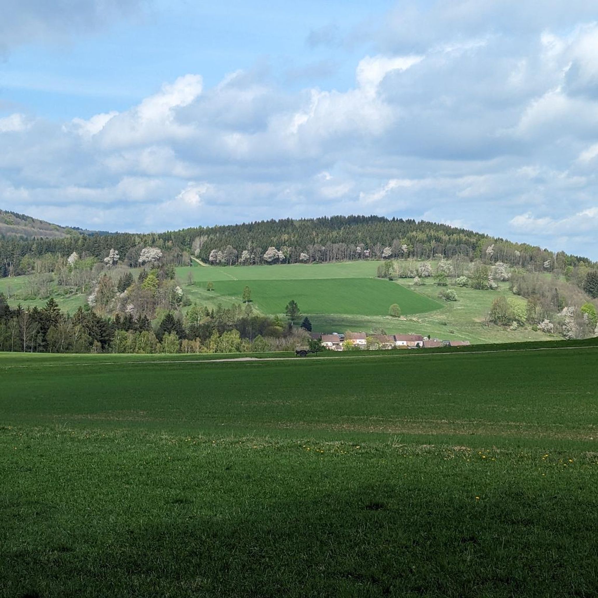
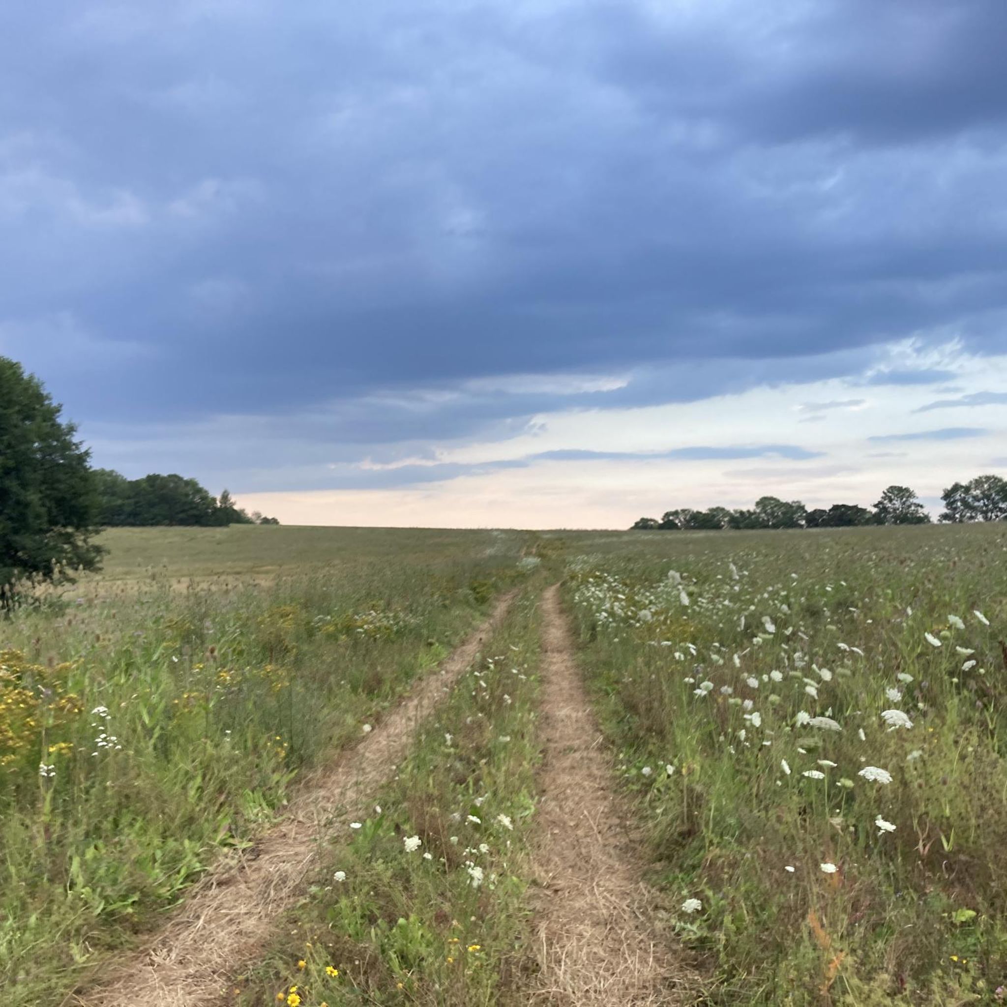
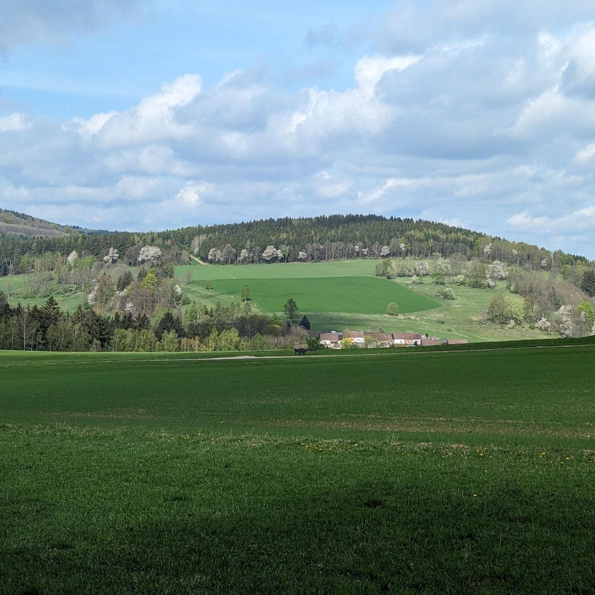
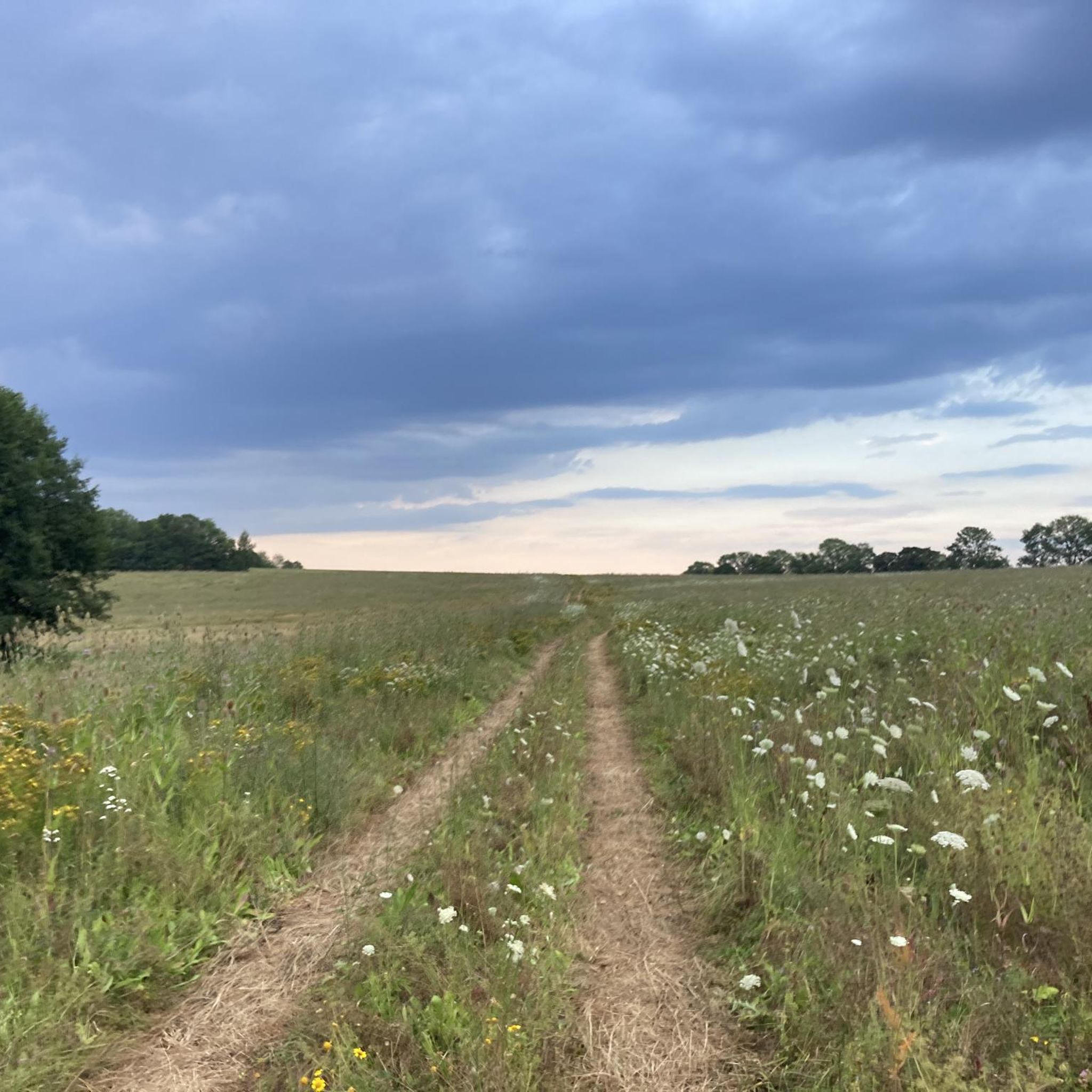
One of the most beautiful sections of the Stoneman Miriquidi Road: a quiet, flat stretch, hardly any traffic, and warm autumnal air. The alternating light and shade make the ride a pleasure—a section that simply stays with you.
2
0


Blockline motif "Marmot" 🐾
0
0

Lovingly restored ensemble with hotel, inn and beer garden
1
0

Overall a great summit
1
0
Always worth a trip
1
1

Frequently Asked Questions
How many mountain bike trails are available in Rungstock?
Rungstock offers a wide selection of mountain bike trails, with over 240 routes available. These trails traverse the scenic natural park within the Erzgebirgskreis, providing diverse terrain for all skill levels.
What types of mountain bike trails can I expect in Rungstock?
The trails in Rungstock are characterized by forested hills and valleys, offering a mix of challenging ascents and flowing descents. You'll find routes passing through historical sites and providing views of the Ore Mountains. The network includes 34 easy, 175 moderate, and 37 difficult routes, ensuring options for every rider.
Are there any easy mountain bike trails suitable for beginners in Rungstock?
Yes, Rungstock has 34 easy mountain bike trails perfect for beginners or those looking for a more relaxed ride. An example is the View of the Ore Mountains – Saigerhütte Olbernhau-Grünthal loop from Olbernhau West, which is 20.1 miles long and leads through forested hills with panoramic views.
What are some challenging mountain bike trails for experienced riders in Rungstock?
For experienced riders seeking a challenge, Rungstock offers 37 difficult mountain bike trails. A notable difficult route is the Saigerhütte Olbernhau-Grünthal – Hotel Lesná loop from Olbernhau West, which spans 25.3 miles and features significant elevation changes, making it a demanding ride.
Are there any circular mountain bike routes in Rungstock?
Many of Rungstock's mountain bike trails are designed as loops, allowing you to start and end at the same point. For instance, the Saigerhütte Olbernhau-Grünthal – Church of Kalek loop from Olbernhau West is a moderate 21.0-mile circular path winding through forested areas and past cultural landmarks.
What natural features or landmarks can I see along the mountain bike trails in Rungstock?
As you ride through Rungstock, you can encounter various natural features and historical sites. Highlights include the Rungstockbach Trail, the serene Pulvermühlenteich (a lake), and the historical Olbernhauer Pulvermühle. You might also spot the impressive The Young Königstanne natural monument.
What do other mountain bikers enjoy most about Rungstock?
The mountain bike trails in Rungstock are highly rated by the komoot community, with an average score of 4.6 stars from over 1000 reviews. Riders often praise the diverse terrain, the scenic forested hills, and the opportunities to combine sport with cultural exploration of historical sites and views of the Ore Mountains.
Are there any trails that offer great viewpoints in Rungstock?
Yes, many trails in Rungstock provide excellent viewpoints, especially those leading through the forested hills of the Ore Mountains. The View of the Ore Mountains – Saigerhütte Olbernhau-Grünthal loop from Olbernhau West is specifically known for its panoramic views.
Are there any family-friendly mountain bike trails in Rungstock?
While specific 'family-friendly' designations aren't always explicit, the 34 easy trails in Rungstock are generally suitable for families looking for less strenuous rides. These routes often feature smoother paths through woodlands, allowing for a pleasant experience for riders of varying ages and skill levels.
Can I bring my dog on the mountain bike trails in Rungstock?
Many outdoor trails in the Erzgebirgskreis region are dog-friendly, but it's always best to check specific trail regulations or local signage before heading out. Generally, if trails are multi-use and not in sensitive wildlife areas, well-behaved dogs on a leash are welcome.
What is the best time of year for mountain biking in Rungstock?
The best time for mountain biking in Rungstock is typically during the warmer months, from spring through autumn. During this period, the trails are usually dry and clear, offering optimal riding conditions through the forested hills and valleys. Winter riding may be possible on some trails, but conditions can be challenging due to snow and ice.
Are there any longer mountain bike routes in Rungstock for endurance training?
Absolutely. For those looking for longer rides, Rungstock offers several routes that extend over significant distances. The Lauterstein Castle Ruins – Saigerhütte Olbernhau-Grünthal loop from Olbernhau is a moderate 47.5-mile route, perfect for endurance training and exploring more of the region's landscape.
Most popular routes in Rungstock
Most popular attractions in Rungstock

Get inspired with the komoot mobile app


Explore more
Browse the best MTB trails in other regions.
