The best road cycling routes in Schwarzwassertal
4.6
(275)
2,473
riders
118
rides
Road cycling routes in Schwarzwassertal are situated within the scenic Erzgebirge mountains of Saxony, Germany, offering diverse terrain for cyclists. The region is characterized by rolling hills, dense forests, and significant elevation changes, providing both challenging ascents and rewarding descents. The Schwarze Pockau river carves a deep valley through the landscape, which features varied natural elements and well-maintained paved surfaces suitable for road bikes. Elevations in the area range from approximately 1,770 to 2,410 feet (540 to 735 meters) above…
Last updated: June 26, 2026
8
riders
10.1km
00:32
140m
140m
Easy road ride. Great for any fitness level. Mostly well-paved surfaces and easy to ride.
4.0
(2)
23
riders
Easy road ride. Great for any fitness level. Mostly well-paved surfaces and easy to ride.

Sign up for free
12
riders
Moderate road ride. Good fitness required. Mostly well-paved surfaces and easy to ride.
5.0
(2)
12
riders
19.1km
01:03
320m
330m
Moderate road ride. Good fitness required. Mostly well-paved surfaces and easy to ride.
9
riders
32.9km
01:35
480m
480m
Moderate road ride. Good fitness required. Some segments of this route may be unpaved and difficult to ride.
Get access to more routes and recommendations from other explorers.
Sign up for free
Already have an account?
Our route recommendations are based on thousands of hikes, rides, and runs completed by other people on komoot.
Start today with a free account
Your next adventure awaits.
Login or Signup
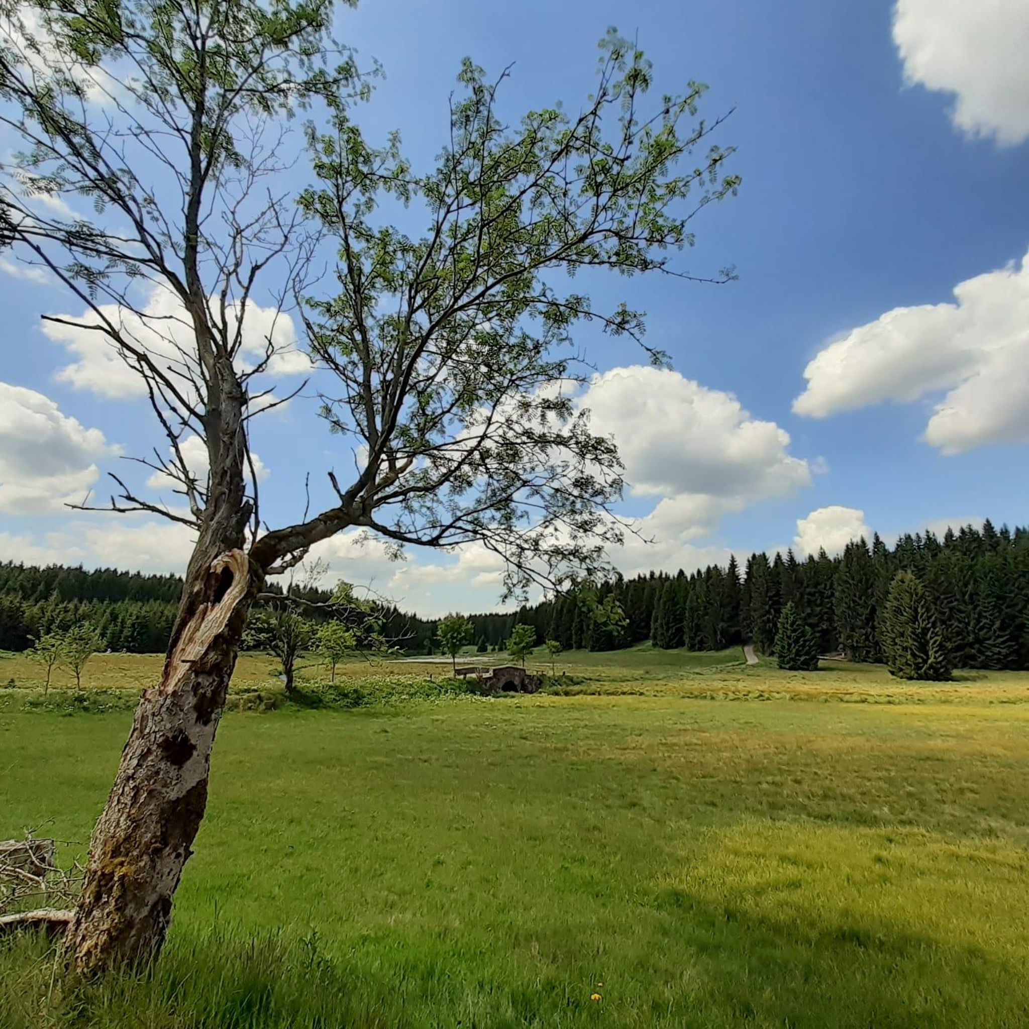
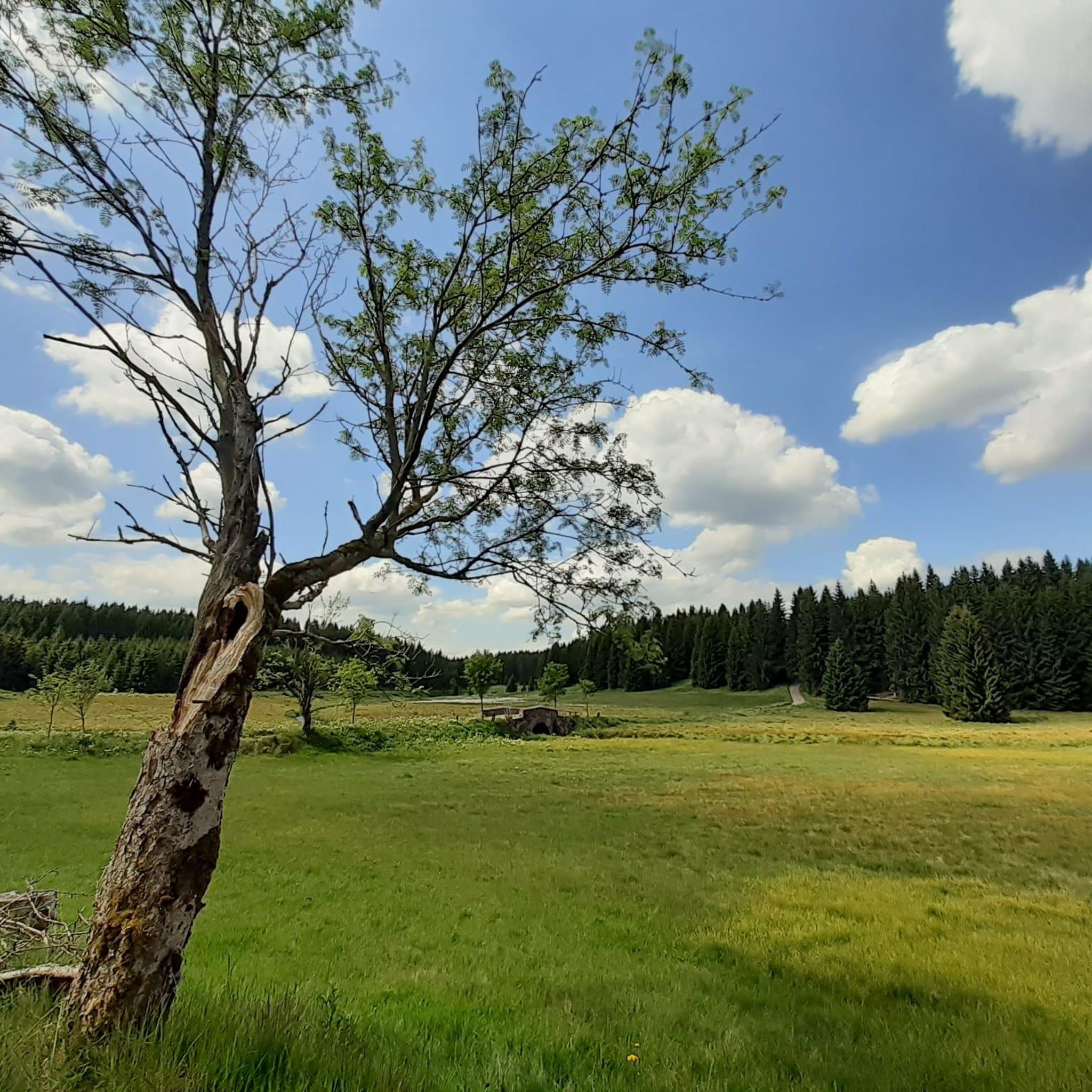
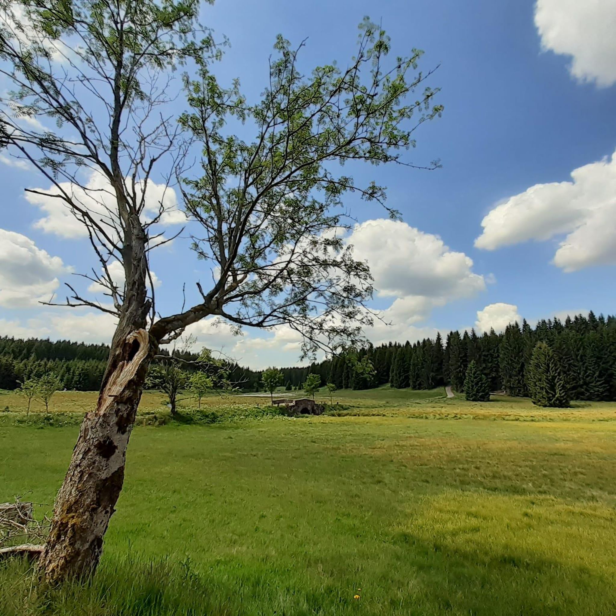
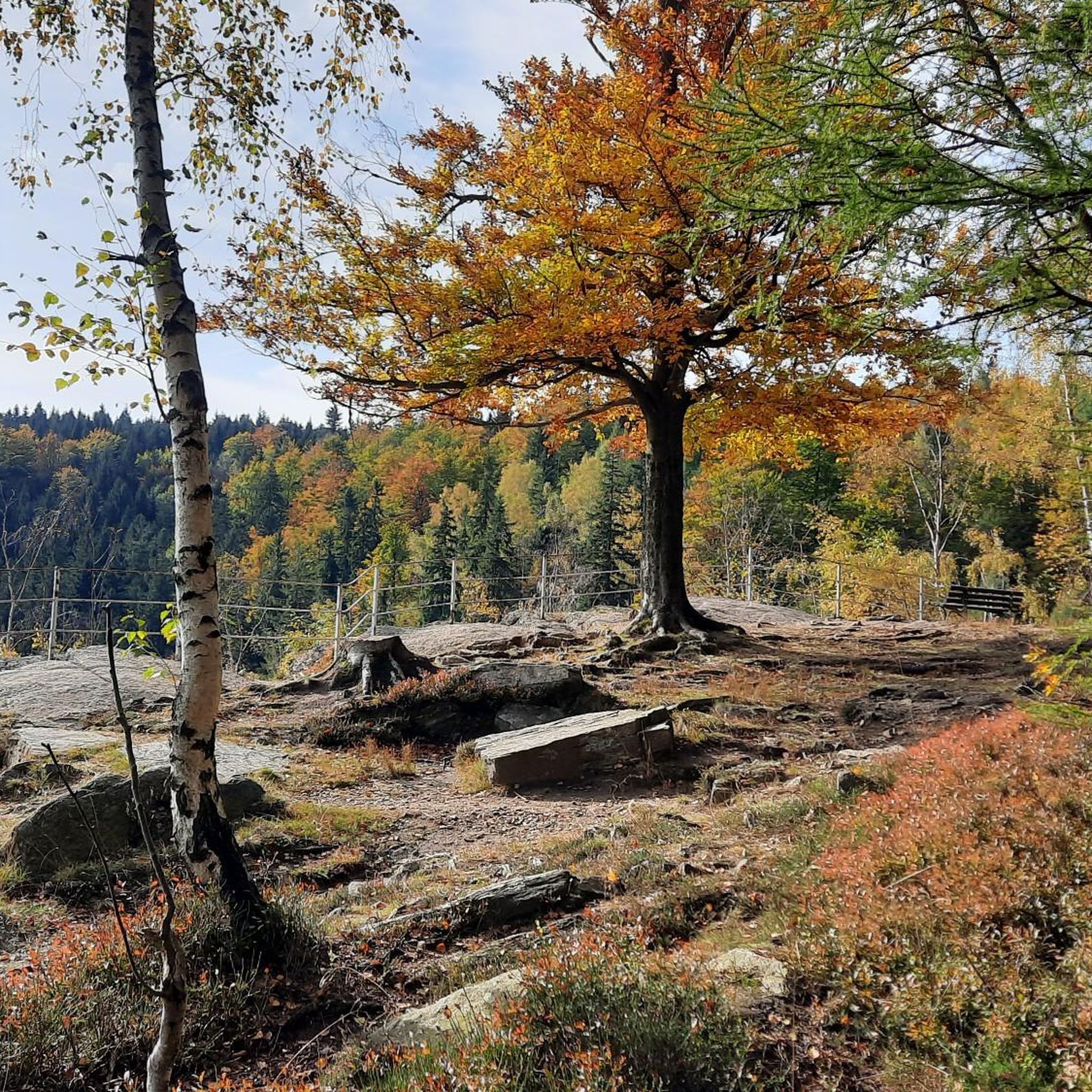

Tips from the Community

Free parking, perfect as a starting point for hikes!
1
0

One of the most beautiful sections of the Stoneman Miriquidi Road: a quiet, flat stretch, hardly any traffic, and warm autumnal air. The alternating light and shade make the ride a pleasure—a section that simply stays with you.
2
0
A small but beautiful section on the Stoneman Miriquidi Road: The S216 between Kühnhaide and Rübenau is quiet, ideal for rolling and taking a breather.
0
0


Good connection, although not the best surface. Currently under construction in Pockau, making it impossible to drive quickly due to partially torn-up road surfaces (April 2025).
0
0
very beautiful. Always worth a trip
0
0
a great visitor mine, highly recommended
1
0
Frequently Asked Questions
What kind of terrain can I expect when road cycling in Schwarzwassertal?
Schwarzwassertal offers a diverse road cycling experience with rolling hills, dense forests, and significant elevation changes. The region is characterized by the deep gorge carved by the Schwarze Pockau river and features mostly well-maintained paved surfaces, providing both challenging ascents and rewarding descents through picturesque valleys.
Are there routes suitable for beginners or those looking for an easier ride?
Yes, Schwarzwassertal has routes suitable for various skill levels. For an easier ride, consider the Friedrich Ludwig Jahn Ski Jump loop from Pobershau, which is 6.2 miles (10.0 km) long and takes about 31 minutes. Another easy option is the Göpel Pyramid Pobershau – Checkpoint Niederlauterstein loop from Pobershau, covering 16.9 miles (27.2 km) through varied terrain.
What are some notable landmarks or viewpoints I can see along the road cycling routes?
Road cycling routes in Schwarzwassertal often pass by impressive natural and historical features. You can enjoy panoramic views from the Katzenstein Lookout, explore the unique Grüner Graben (Green Ditch), or see striking rock formations like the Nonnenfelsen and Teufelsmauer. The Schwarze Pockau river itself is a prominent natural feature throughout the valley.
How many road cycling routes are available in Schwarzwassertal?
There are over 100 road cycling routes available in Schwarzwassertal, catering to various difficulty levels. You'll find approximately 14 easy routes, 70 moderate routes, and 35 difficult routes to explore.
What do other road cyclists enjoy most about the routes in Schwarzwassertal?
The routes in Schwarzwassertal are highly rated by the komoot community, with an average score of 4.6 stars from over 200 reviews. Cyclists often praise the region's diverse terrain, the scenic beauty of the Schwarze Pockau river valley, and the well-maintained paved surfaces that make for an enjoyable ride through dense forests and rolling hills.
Are there any circular road cycling routes in the area?
Yes, many of the road cycling routes in Schwarzwassertal are designed as loops, allowing you to start and finish at the same point. Examples include the Marienberg–Lauta – Göpel Pyramid Pobershau loop from Pobershau and the Marienberg Market Square – Niederlauterstein Castle Ruins loop from Pobershau, offering varied distances and challenges.
Where can I find parking for road cycling in Schwarzwassertal, especially near Pobershau or Marienberg?
While specific parking areas for road cyclists are not explicitly detailed, Pobershau and Marienberg are common starting points for routes in Schwarzwassertal. You can typically find parking options within these towns, which serve as good bases for exploring the surrounding cycling network.
Is public transport accessible for cyclists wanting to reach Schwarzwassertal?
The Erzgebirge region, including Schwarzwassertal, has public transport options. While direct access to specific trailheads with a road bike might require some planning, regional buses or trains often connect to towns like Pobershau or Marienberg, from where you can start your cycling tour. It's advisable to check local transport schedules for bike carriage policies.
Are there any cafes or refreshment stops along the road cycling routes?
Yes, the region offers charming spots for refreshments. A unique highlight mentioned by locals is Kaffee Kurt, a forest cafe that provides a pleasant stop on weekends and holidays. Larger towns like Pobershau and Marienberg also offer various cafes and restaurants.
What is the best season for road cycling in Schwarzwassertal?
The best season for road cycling in Schwarzwassertal is generally from spring to autumn. During these months, the weather is milder, and the natural scenery, with its lush greenery and vibrant foliage, is at its most captivating. Summer offers longer daylight hours, while spring and autumn provide comfortable temperatures and fewer crowds.
Are there any particularly challenging road cycling routes for experienced riders?
Yes, Schwarzwassertal offers routes with significant elevation gains for experienced riders. Approximately 35 routes are classified as difficult, featuring more demanding ascents and descents through the region's varied topography. These routes provide a rewarding challenge for those seeking a more intense cycling experience.
Most popular routes in Schwarzwassertal
Most popular attractions in Schwarzwassertal

Get inspired with the komoot mobile app


Explore more
Browse the best Road cycling routes in other regions.
