The best road cycling routes in Geisingberg
4.3
(150)
2,207
riders
102
rides
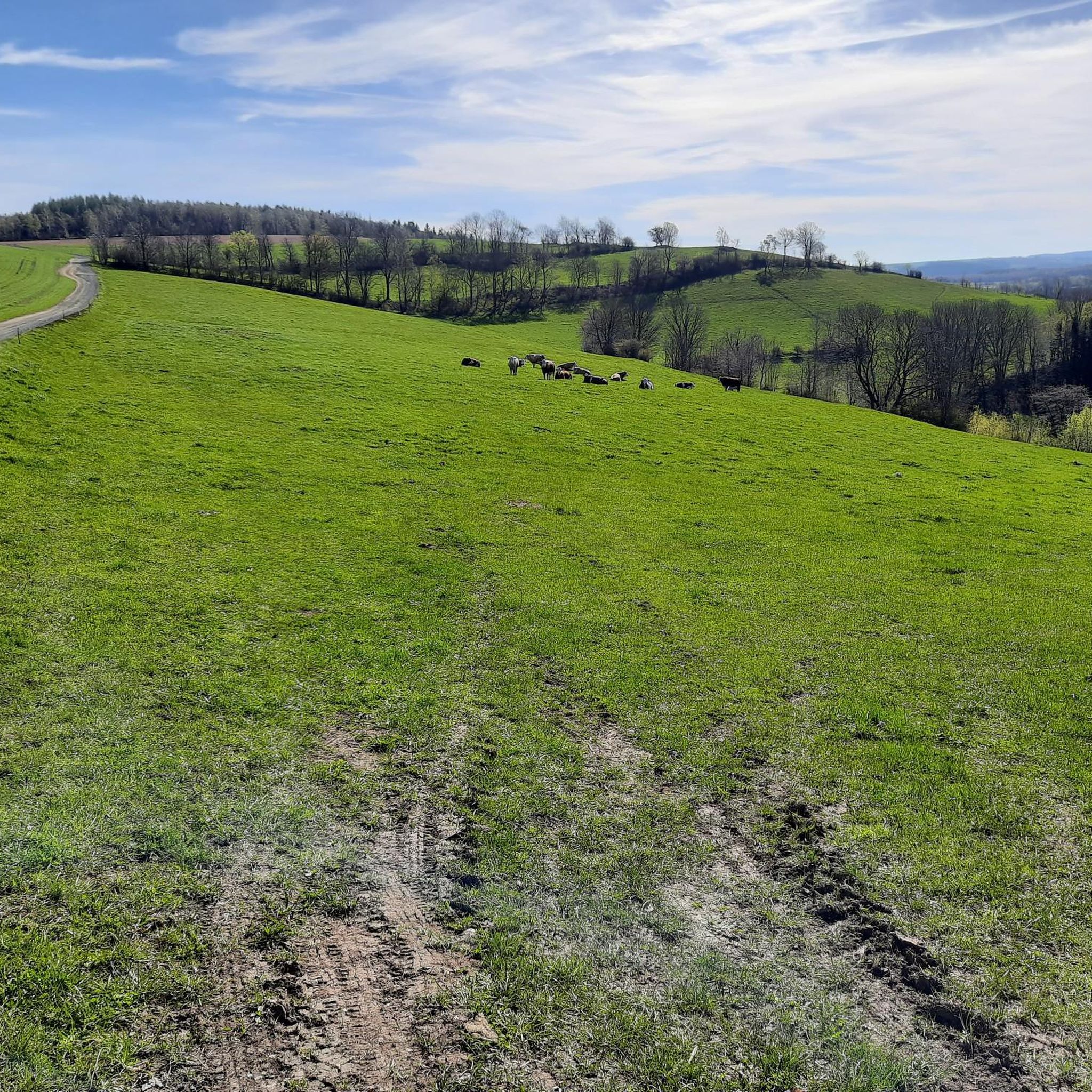
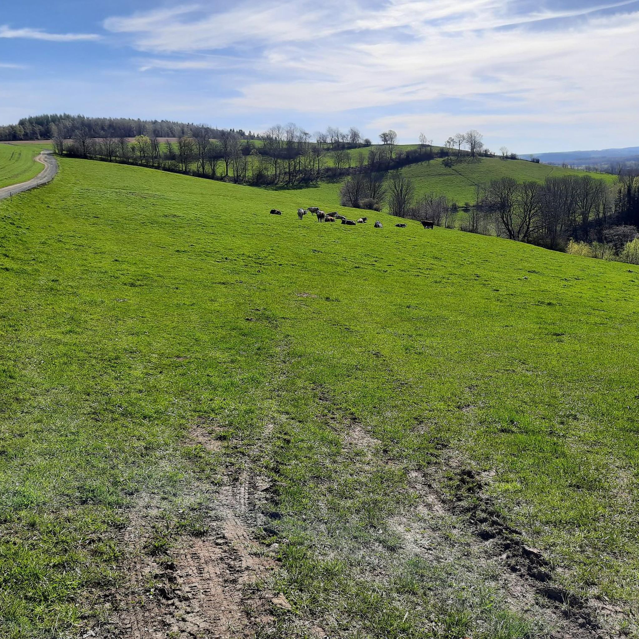
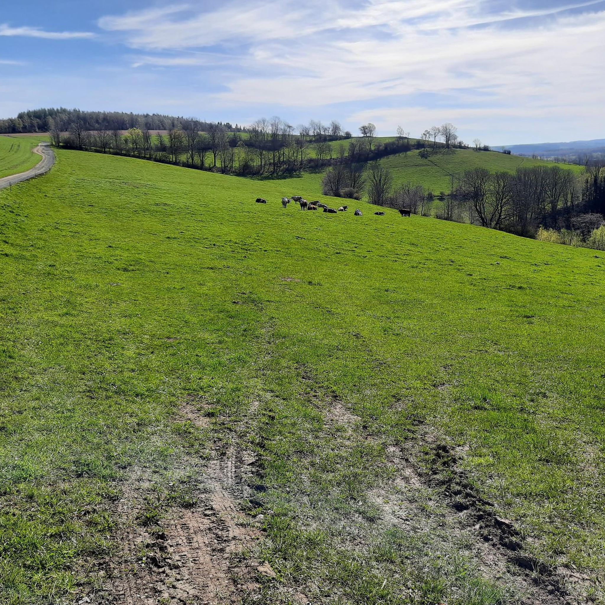
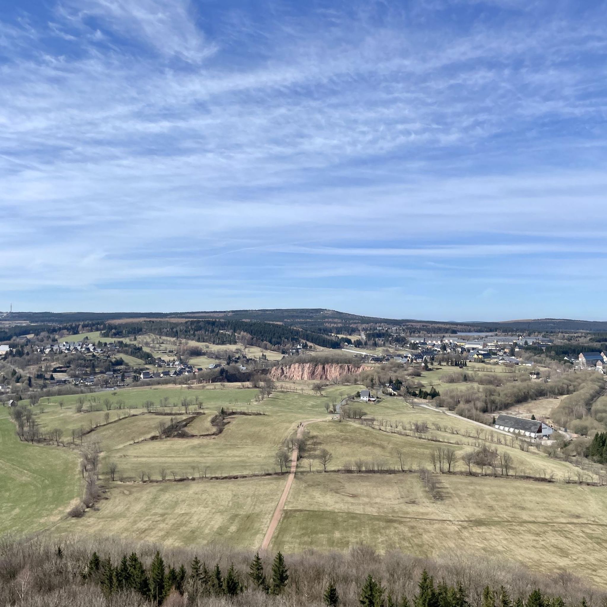
Road cycling routes in Geisingberg traverse the varied landscapes of the Ore Mountains, characterized by rolling hills, dense forests, and significant elevation changes. The region's terrain offers a mix of challenging climbs and scenic stretches, with Geisingberg itself rising to 824 meters. Road cyclists can expect mostly paved surfaces suitable for demanding rides through this picturesque area.
Best road cycling routes in Geisingberg
- The most popular road cycling route is Schwartenberg Summit – Rauschenbach Dam Bridge loop from Altenberg (Erzgeb)…
Last updated: May 16, 2026
4.8
(24)
459
riders
110km
05:42
1,920m
1,920m
Hard road ride. Very good fitness required. Some segments of this route may be unpaved and difficult to ride.
4.9
(25)
327
riders
Hard road ride. Very good fitness required. Some segments of this route may be unpaved and difficult to ride.

Sign up for free
5.0
(1)
40
riders
82.0km
04:15
1,230m
1,230m
Hard road ride. Very good fitness required. Some segments of this route may be unpaved and difficult to ride.
5.0
(3)
43
riders
150km
07:28
2,330m
2,330m
Hard road ride. Very good fitness required. Mostly well-paved surfaces and easy to ride.
5.0
(2)
19
riders
119km
06:10
1,970m
1,970m
Hard road ride. Very good fitness required. Some segments of this route may be unpaved and difficult to ride.
Get access to more routes and recommendations from other explorers.
Sign up for free
Already have an account?
Our route recommendations are based on thousands of hikes, rides, and runs completed by other people on komoot.
Start today with a free account
Your next adventure awaits.
Login or Signup
Tips from the Community

The ruins of Frauenstein Castle are located on a 680-meter-high granite porphyry rock on the ridge of the Eastern Ore Mountains near the town of Frauenstein in the district of Central Saxony. See: https://de.wikipedia.org/wiki/Burg_Frauenstein_(Erzgebirge)
3
1

100% recommended. Nice little ramp, great view at the top, and you can even refill your bottles.
2
0
After all the forests and narrow villages in the valley, the land suddenly opens up and the view can wander into the distance.
1
0
One of the most beautiful sections of the Stoneman Miriquidi Road: a quiet, flat stretch, hardly any traffic, and warm autumnal air. The alternating light and shade make the ride a pleasure—a section that simply stays with you.
2
0
A small but beautiful section on the Stoneman Miriquidi Road: The S216 between Kühnhaide and Rübenau is quiet, ideal for rolling and taking a breather.
0
0
The whole area is worth a visit at any time of year.
1
0
Great route through the forest. The asphalt could be improved, but nature easily makes up for it.
2
0
Frequently Asked Questions
How many road cycling routes are available in Geisingberg?
The Geisingberg region offers a wide selection of road cycling routes, with over 100 routes to explore. These routes cater to various skill levels, from moderate to difficult.
What is the best time of year for road cycling in Geisingberg?
Road cycling in Geisingberg is particularly popular during June and August. The weather during these months is generally favorable for exploring the region's varied terrain.
What kind of terrain can I expect on road cycling routes in Geisingberg?
The terrain around Geisingberg is characterized by rolling hills, dense forests, and significant elevation changes, typical of the Ore Mountains. Cyclists can expect mostly paved surfaces, making them suitable for demanding road rides.
Are there challenging road cycling routes in Geisingberg?
Yes, Geisingberg offers numerous challenging road cycling routes. Many routes feature substantial elevation gains, with some requiring significant fitness. For example, the Schwartenberg Summit – Rauschenbach Dam Bridge loop from Altenberg (Erzgeb) is a difficult 109.6 km route with over 1,900 meters of elevation gain.
Are there any moderate road cycling options for less experienced riders?
While many routes are difficult, there are also moderate road cycling options available in Geisingberg. The region's network offers routes for various ability levels, ensuring there's something for everyone.
What natural features or landmarks can I see along the road cycling routes?
Along the road cycling routes, you can encounter several natural features and landmarks. The Geisingberg Quarry Lake and the scenic Rauschenbach Dam are notable sights. The region is also known for its picturesque landscapes, including idyllic meadows and dense forests.
Are there any notable viewpoints accessible from the road cycling routes?
Yes, the region boasts impressive viewpoints. The Luisen Tower on the Geisingberg offers breathtaking panoramic views. Additionally, the Kahleberg Summit and the Kohlhaukuppe Summit Hut and Observation Tower provide enchanting vistas of the surrounding Ore Mountains and beyond.
Are there circular road cycling routes in Geisingberg?
Many of the road cycling routes in Geisingberg are designed as loops, allowing you to start and finish at the same point. Examples include the Hochwaldstraße – View of Weesenstein Castle loop from Altenberg (Erzgeb) and the Climb to Cínovec – Fláje Dam loop from Altenberg (Erzgeb).
Is parking available near the road cycling routes in Geisingberg?
Parking is generally available in towns like Altenberg, which serve as common starting points for many routes in the Geisingberg area. Specific parking information can often be found on individual route pages.
Are there places to stop for refreshments along the routes?
Yes, the region has various cafes and pubs, especially in towns and villages along the routes, where you can stop for refreshments. The Kohlhaukuppe Summit Hut, for instance, offers a place to rest and enjoy the views.
What do other road cyclists say about the routes in Geisingberg?
The road cycling routes in Geisingberg are highly rated by the komoot community, with an average score of 4.3 stars from over 140 reviews. Cyclists often praise the challenging climbs, scenic views, and the varied terrain of the Ore Mountains.
Are there any particularly long or demanding road cycling challenges in the region?
For serious road cyclists, the proximity to the Stoneman Miriquidi Road offers Saxony's ultimate road biking challenge. This demanding route spans 290 kilometers with an elevation gain of 4,900 meters, featuring 13 climbs across the scenic Czech Eger Valley and the majestic Ore Mountains.
Most popular routes in Geisingberg
Most popular attractions in Geisingberg

Get inspired with the komoot mobile app


Explore more
Browse the best Road cycling routes in other regions.
