Muschelkalkgebiet Am Oschenberg
Muschelkalkgebiet Am Oschenberg
The best walks and hikes in Muschelkalkgebiet Am Oschenberg
4.5
(4982)
23,484
hikers
1,451
hikes
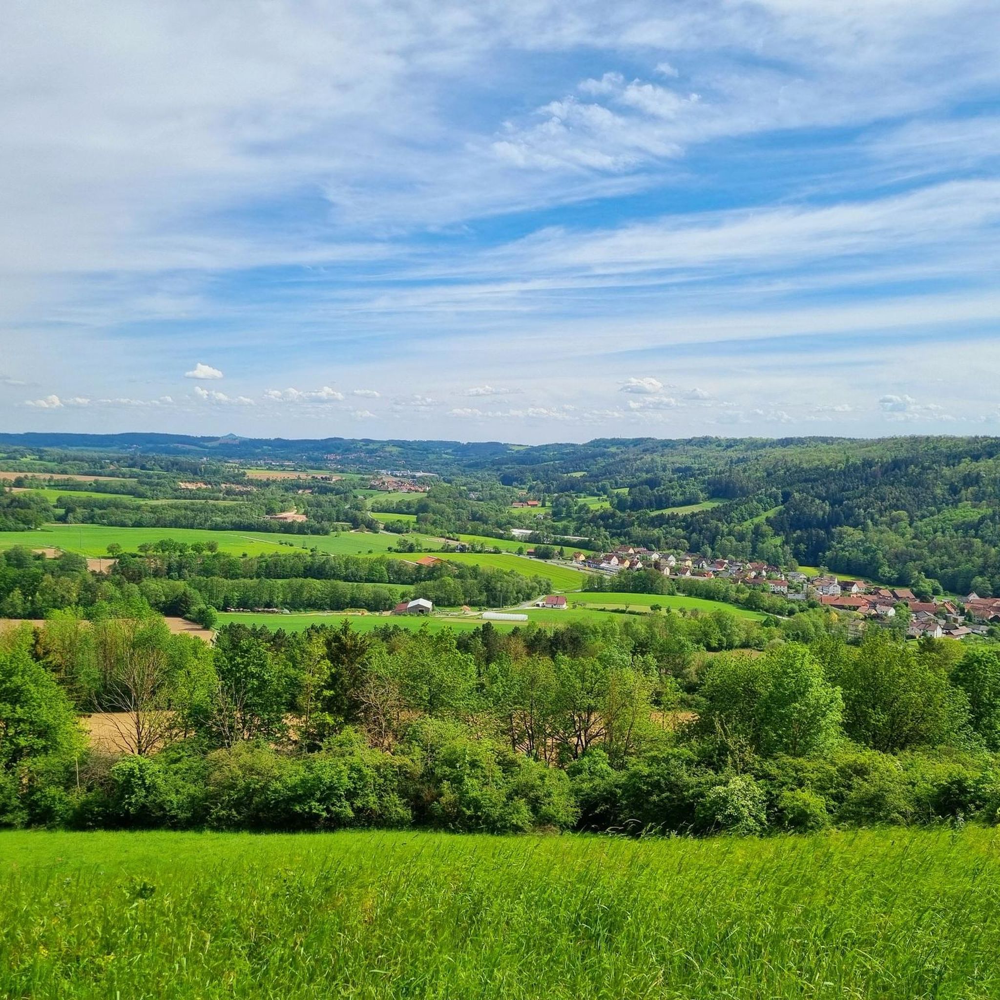
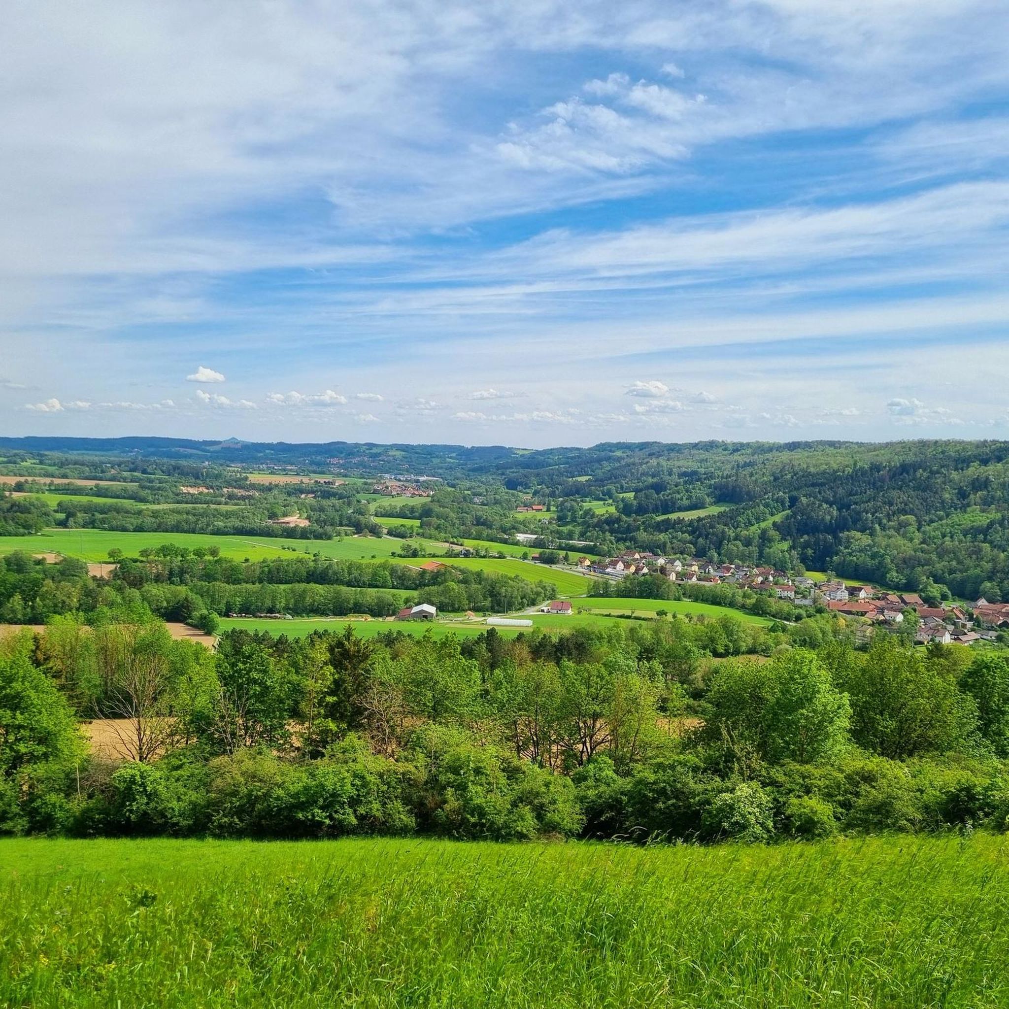
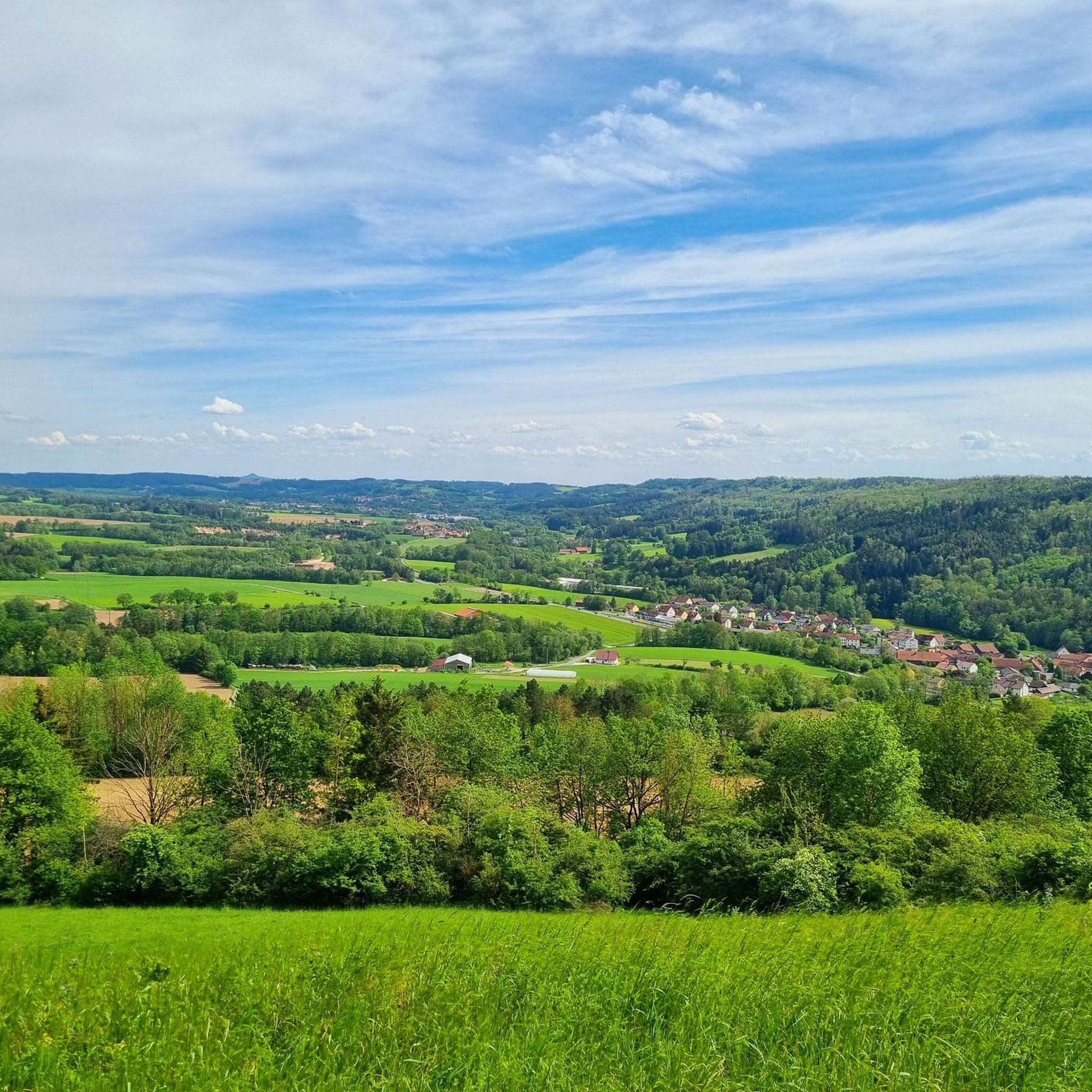
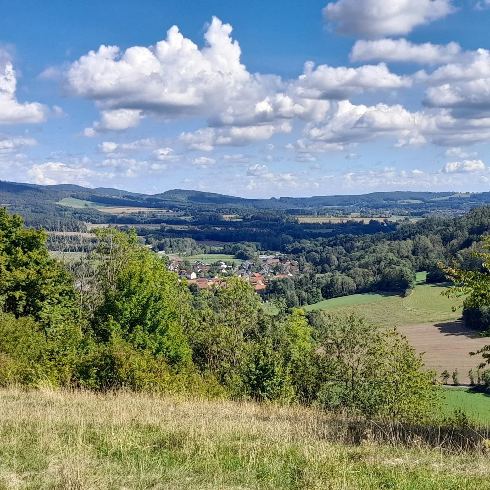
Muschelkalkgebiet Am Oschenberg hiking trails traverse a 325-hectare nature reserve characterized by its unique Muschelkalk (shell limestone) geology. The region features Bavaria's northeasternmost limestone grasslands, which support diverse plant species, and older Buntsandstein layers exposed in valley incisions. Hikers can experience scenic vistas, particularly northwestward towards the Frankenalb, across a landscape shaped by ancient marine environments. This area offers accessible paths through varied terrain, making it suitable for different hiking preferences.
Best hiking trails in Muschelkalkgebiet Am Oschenberg
- The most…
Last updated: July 3, 2026
4.7
(25)
69
hikers
Moderate hike. Good fitness required. Easily-accessible paths. Suitable for all skill levels.
4.7
(19)
62
hikers
Moderate hike. Good fitness required. Easily-accessible paths. Suitable for all skill levels.

Sign up for free
4.5
(11)
46
hikers
Easy hike. Great for any fitness level. Easily-accessible paths. Suitable for all skill levels.
4.1
(7)
28
hikers
10.2km
02:51
190m
190m
Moderate hike. Good fitness required. Easily-accessible paths. Suitable for all skill levels.
4.5
(4)
16
hikers
Easy hike. Great for any fitness level. Easily-accessible paths. Suitable for all skill levels.
Get access to more routes and recommendations from other explorers.
Sign up for free
Already have an account?
Our route recommendations are based on thousands of hikes, rides, and runs completed by other people on komoot.
Start today with a free account
Your next adventure awaits.
Login or Signup

Tips from the Community

Unfortunately, the ant isn't in particularly good condition anymore. Hopefully, it will be restored soon. Nevertheless, it's still recognizable as an ant and still a good place for a quick detour. It's right on the trail, after all. ^^
0
0

There are several interesting hiking trails here, which can be seen on the map
1
2

The fence is gone. Free ride 👍🏻
0
0
It's closed (probably only cars), but you can get past it.
0
0
Large wooden sculpture at the fork in the road 🐜 🕸
0
0
The weather station at the vineyard is embedded in hills and can only be seen from above.
1
0
nature reserve. Former military site. vantage points.
1
0

nice place to rest, but the water is not drinkable
0
0
Frequently Asked Questions
How many hiking trails are available in Muschelkalkgebiet Am Oschenberg?
Muschelkalkgebiet Am Oschenberg offers a wide variety of hiking opportunities, with nearly 1500 routes recorded on komoot. This includes over 890 easy trails, 540 moderate routes, and a selection of more challenging hikes.
What makes the Muschelkalkgebiet Am Oschenberg unique for hiking?
The area is characterized by its unique Muschelkalk (shell limestone) geology, which gives rise to Bavaria's northeasternmost limestone grasslands. These grasslands support a rich diversity of plant species. Hikers can also observe older Buntsandstein layers in the valley incisions and enjoy scenic vistas, particularly towards the Frankenalb.
Are there any easy circular walks suitable for beginners?
Yes, the region is well-suited for easy circular walks. For instance, the Oschenberg Communication Tower – Muschelkalk Area at Oschenberg loop from Verkehrslandeplatz Bayreuth is an easy 4.2 km trail that takes just over an hour to complete, offering pleasant views around the communication tower.
What kind of natural features or landmarks can I expect to see?
You can explore several interesting features. The Muschelkalk Area at Oschenberg itself is a significant natural monument. You might also encounter the Oschenberg Communication Tower, which serves as a prominent landmark, and the Kreuzstein near Nemmersdorf, offering a viewpoint.
Are there family-friendly hiking options in Muschelkalkgebiet Am Oschenberg?
Yes, many trails in Muschelkalkgebiet Am Oschenberg are suitable for families. The paths are generally easily accessible and offer a variety of easy loops, often completed within one to two hours. These trails typically have moderate elevation gains, making them enjoyable for all ages.
Can I bring my dog on the hiking trails?
Yes, dogs are generally welcome. However, as Muschelkalkgebiet Am Oschenberg is a nature reserve, it is important to keep dogs on a leash at all times. This rule helps protect ground-nesting birds and other wildlife in the area.
What do other hikers say about the trails in Muschelkalkgebiet Am Oschenberg?
The trails are highly regarded by the komoot community, with an average rating of 4.5 stars from over 4700 reviews. Hikers often praise the diverse landscapes, the well-maintained paths, and the scenic views, particularly towards the Frankenalb.
Are there any longer, more challenging routes for experienced hikers?
While many trails are easy, there are also moderate options for those seeking a longer hike. For example, the Platte (512 m) at Oschenberg – Oschenberg Communication Tower loop from Bindlach is a moderate 12.7 km trail that leads through diverse landscapes and can take around 3 hours 30 minutes to complete.
How can I access the hiking trails using public transport?
The Muschelkalkgebiet Am Oschenberg integrates into broader hiking networks, such as the Bayreuth circular hiking route. Public transport options provide various entry points for those looking to hike sections of these routes or access the nature reserve without a car.
Are there any specific trails that offer good viewpoints?
Yes, the open areas within the Muschelkalkgebiet Am Oschenberg provide extensive views, notably northwestward towards the Frankenalb. The Kreuzstein near Nemmersdorf is specifically highlighted as a viewpoint where you can enjoy these vistas.
What is the best time of year to go hiking in Muschelkalkgebiet Am Oschenberg?
The Muschelkalkgebiet Am Oschenberg is enjoyable throughout much of the year. Spring and autumn offer pleasant temperatures and vibrant scenery, while summer provides longer daylight hours. The unique limestone grasslands are particularly interesting when various plant species are in bloom.
Are there any trails that start from Bindlach?
Yes, Bindlach is a convenient starting point for several trails. An easy option is the Oschenberg Communication Tower – Muschelkalk Area at Oschenberg loop from Bindlach, which is 5.8 km long and explores the Muschelkalk area with moderate elevation changes.
Most popular routes in Muschelkalkgebiet Am Oschenberg
Most popular attractions in Muschelkalkgebiet Am Oschenberg

Get inspired with the komoot mobile app


Explore more
Browse the best Hikes in other regions.
