The best MTB trails in Traunfelder Bachtal
4.6
(599)
2,066
riders
301
rides
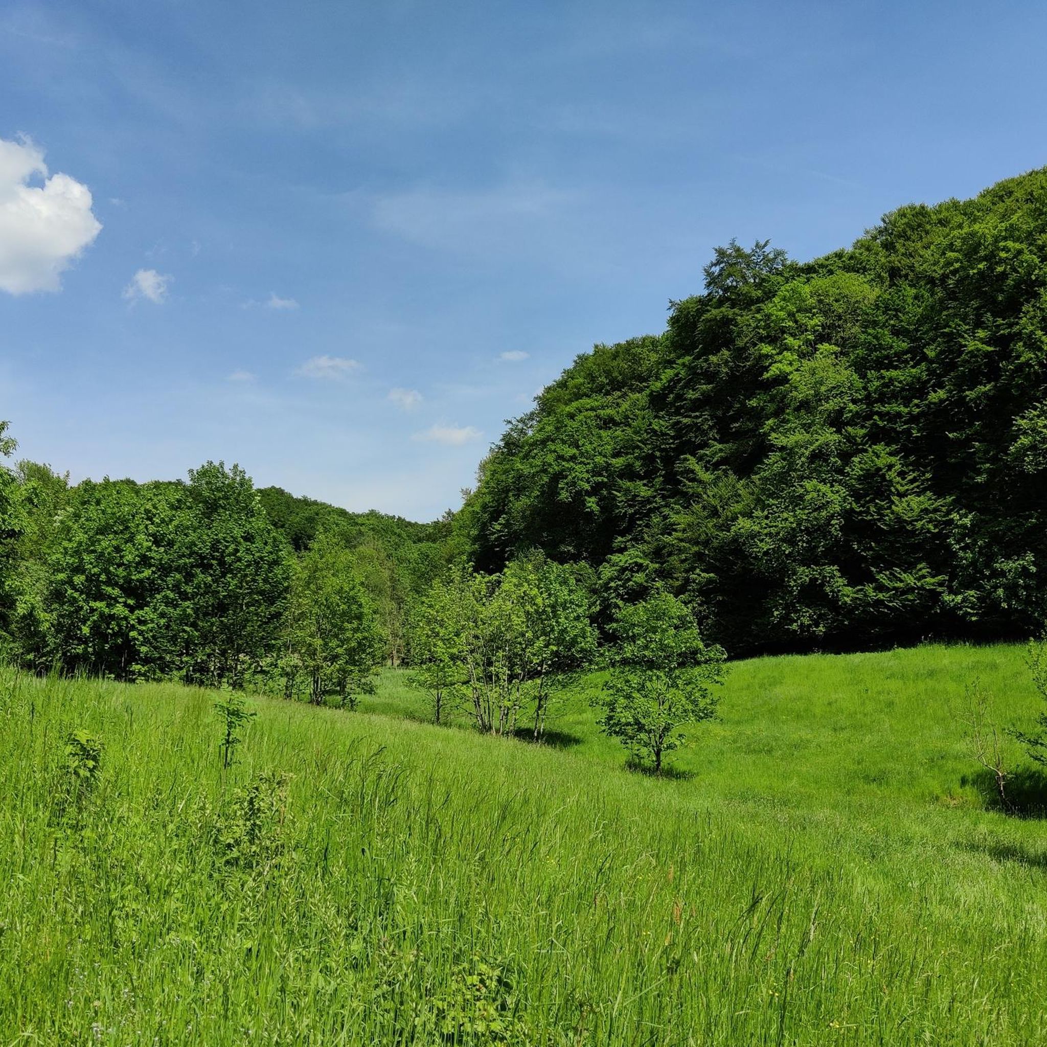
Mountain biking in Traunfelder Bachtal offers diverse terrain within the scenic Naturpark Oberpfälzer Wald. The region features densely forested hills and verdant meadows, providing varied routes for mountain bikers. Low mountain ranges with undulating topography offer a range of inclines and descents. Tranquil small lakes and numerous rivers also shape the landscape, creating varied routes and scenic backdrops.
Best mountain bike trails in Traunfelder Bachtal
- The most popular mountain bike trail is Entenberg Pass – View of Plassenburg Castle loop…
Last updated: October 1, 2026
4.5
(2)
8
riders
38.0km
02:48
430m
430m
Moderate mountain bike ride. Good fitness required. Advanced riding skills necessary.
5.0
(1)
8
riders
29.1km
02:27
460m
460m
Hard mountain bike ride. Good fitness required. Advanced riding skills necessary. Some portions of the route may require you to push your bike.

3
riders
21.3km
01:40
280m
280m
Easy mountain bike ride. Great for any fitness level. Suitable for all skill levels.
1
riders
17.8km
01:33
380m
380m
Moderate mountain bike ride. Good fitness required. Suitable for all skill levels.
5.0
(8)
21
riders
49.2km
03:38
480m
480m
Moderate mountain bike ride. Good fitness required. Advanced riding skills necessary.
Get access to more routes and recommendations from other explorers.
Already have an account?
Our route recommendations are based on thousands of hikes, rides, and runs completed by other people on komoot.
Start today with a free account
Your next adventure awaits.
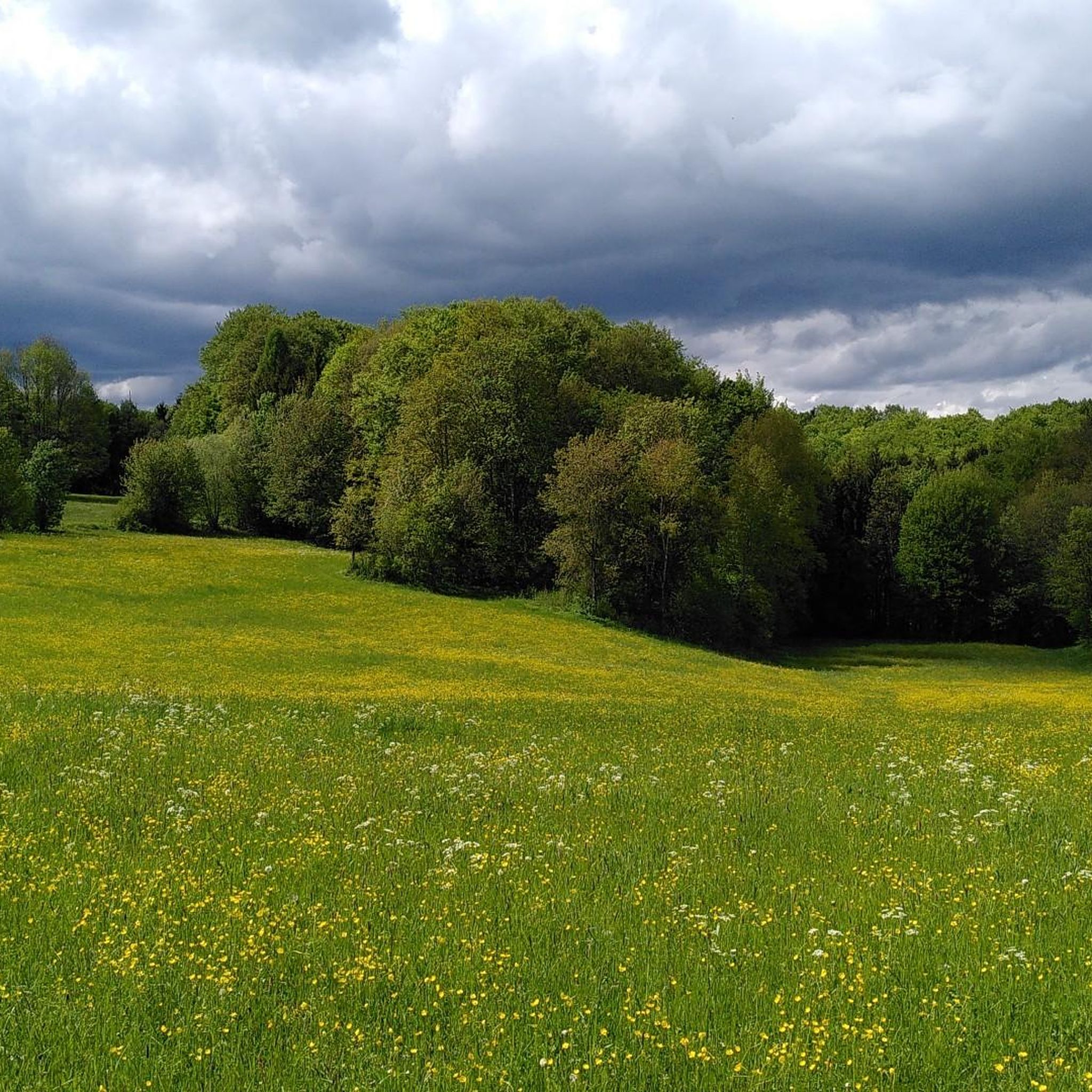
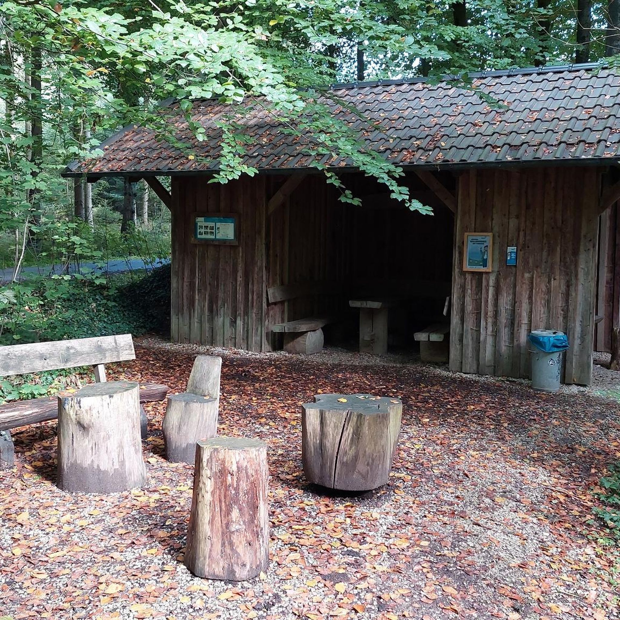
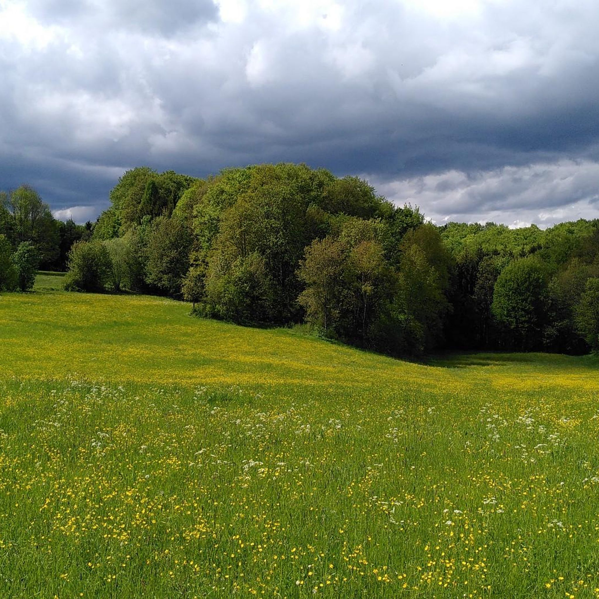
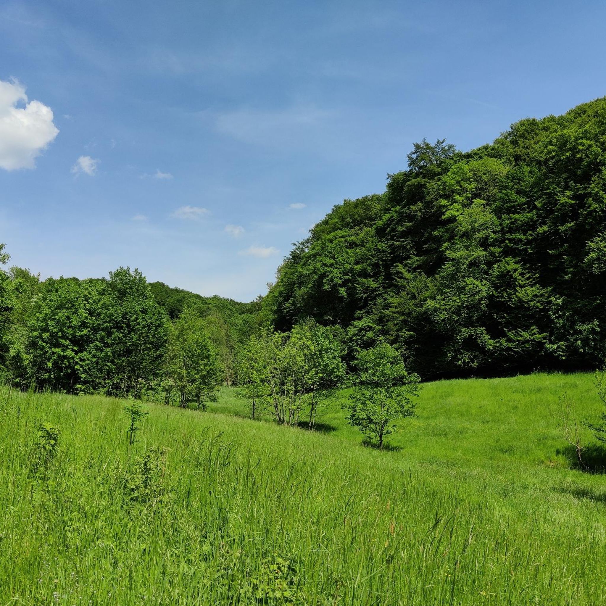
Tips from the Community

The Biergarten Schleuse 35 is idyllically located on the Alten Kanal and has outdoor seating. It is also recommended because it is only a few hundred meters from the Burgthann S-Bahn station. This means you can travel back and forth conveniently without a car.
0
0

Schloß Oberrohrenstadt In Rohrenstadt, divided into Unter-, Mittel-, and Oberrohrenstadt, was the seat of the Rohrenstädter family, who held it as a fief from Kastl Monastery. In 1293, the brothers Heinrich and Marquard are mentioned as "brueder von Rornstat" as witnesses for Gebhard von Hirschberg. During the War of the Bavarian Succession, the seat of the Rohrenstädter family, Rackelburg, was destroyed in 1504 by the people of Nuremberg under Georg von Rohrenstadt and subsequently came under the rule of the Palatinate. In 1522, the Bavarian Count Palatine Ludwig took all Rohrenstadt possessions for himself and placed them under the administration of the Haimburg district office. In the 16th century, the seat was moved to the moated castle built in Oberrohrenstadt. Today, it is a three-story, gable-end Weiherhaus with a late Gothic stepped gable, which was originally surrounded by moats. The wood used for construction was dated to 1495 based on dendrological studies, and the renovation to 1719. The castle was redesigned in 1804 and renovated in 1955 and 1990. In 2011, grants were approved by the Bavarian State Foundation for the exterior renovation of the castle. Source: Excerpts from www.wikipedia.de
3
0

very narrow but very long half-timbered house in Altdorf
1
0

An old towboat on the old canal. Regular trips take place in the summer. It's the perfect way to slow down.
9
0

The Black 7, eastern section! 😃 A large portion of the trail has been lost or significantly widened due to tractors and harvesters. Caution: This makes it difficult to ride during muddy seasons.
1
0

Secret revealed. Ho Chi Minh Trail is the S2 trail, which crosses the asphalt road pictured! There's also an extremely steep section above the road (not even included on Komoot yet). For experts only!
2
0
Asphalted forest highway on the forest slope. Why such a pretentious name?
2
1

Frequently Asked Questions
How many mountain bike trails are available in Traunfelder Bachtal?
There are over 300 mountain bike trails in Traunfelder Bachtal, offering a wide range of options for different skill levels. The komoot community has explored more than 2,000 mountain biking routes in the area.
What kind of terrain can I expect on mountain bike trails in Traunfelder Bachtal?
The region, part of the Naturpark Oberpfälzer Wald, features diverse terrain including densely forested hills, verdant meadows, and low mountain ranges with undulating topography. You'll encounter a mix of inclines, descents, and scenic backdrops shaped by tranquil small lakes and numerous rivers.
Are there mountain bike trails suitable for beginners in Traunfelder Bachtal?
Yes, Traunfelder Bachtal offers trails suitable for beginners. For example, the Altdorf Town Hall – Altdorf Old Town loop from Eismannsberg is an easy 21.8 km trail that takes about 1 hour 42 minutes to complete, leading through varied landscapes.
What are some challenging mountain bike routes in the Traunfelder Bachtal area?
For a more challenging ride, consider the Entenberg Pass – View of Plassenburg Castle loop from Eismannsberg. This difficult 43.0 km trail involves significant elevation gain and takes approximately 3 hours 39 minutes to complete, exploring historical sites and reservoir areas.
What natural features or landmarks can I see while mountain biking in Traunfelder Bachtal?
While mountain biking, you can explore several interesting natural features and landmarks. These include the Traunfelder Bachtal Nature Reserve itself, the Spring and Shrine at Traunfelder Bachtal, and the Eratsmühle Historic Mill. The region also features distinctive granite outcrops and unique basalt cones in the broader Naturpark Oberpfälzer Wald.
Is there parking available near the mountain bike trails in Traunfelder Bachtal?
While specific parking areas for each trail are not detailed, the region is generally accessible. Many trailheads, especially those starting from towns like Eismannsberg or Traunfeld, typically offer local parking options. It's advisable to check specific route details on komoot for recommended starting points and parking information.
Are there any specific regulations or permits required for mountain biking in the Traunfelder Bachtal nature reserve?
Traunfelder Bachtal is a designated nature reserve within the larger Naturpark Oberpfälzer Wald. While mountain biking is generally encouraged in the broader park, it's crucial to stay on marked trails to protect the sensitive ecosystems. There are no specific permits mentioned, but always respect local signage and conservation rules, especially within the nature reserve boundaries.
When is the best time of year to go mountain biking in Traunfelder Bachtal?
The best time for mountain biking in Traunfelder Bachtal is typically from spring through autumn (April to October). During these months, the weather is generally mild, and the trails are dry and accessible. Winter conditions can bring snow and ice, making some trails challenging or impassable.
Are there family-friendly mountain bike trails in Traunfelder Bachtal?
Yes, there are easier trails suitable for families. The region offers options for different ability levels, including paths that are less demanding. Look for routes categorized as 'easy' on komoot, such as the Altdorf Town Hall – Altdorf Old Town loop from Eismannsberg, which is a good option for a family outing.
Can I bring my dog on mountain bike trails in Traunfelder Bachtal?
Generally, dogs are permitted on trails in the Naturpark Oberpfälzer Wald, including the Traunfelder Bachtal area. However, it's important to keep your dog on a leash, especially in nature reserve areas and near wildlife, and to clean up after them. Always check specific trail regulations or local signage for any restrictions.
What do other mountain bikers enjoy the most about mountain biking in Traunfelder Bachtal?
The area is highly rated by the komoot community, with an average score of 4.6 stars from over 500 reviews. Reviewers often praise the diverse terrain, from densely forested hills to tranquil lakes, and the variety of routes that cater to different skill levels, offering both challenging climbs and scenic rides.
Are there circular mountain bike routes available in Traunfelder Bachtal?
Yes, many of the mountain bike routes in Traunfelder Bachtal are designed as loops, allowing you to start and end at the same point. Examples include the Ludwig-Danube-Main Canal – In the Schwarzach Valley between Prackenfels and Schleifmühle loop from Traunfeld, a moderate 38.1 km route, and the Trail to Deckersberg – WWW – Windradl Trail Waller loop from Traunfeld.
Most popular routes in Traunfelder Bachtal
Most popular attractions in Traunfelder Bachtal

Get inspired with the komoot mobile app


Explore more
Browse the best MTB trails in other regions.
