Přírodní Park Suchý Vrch - Buková Hora
Přírodní Park Suchý Vrch - Buková Hora
The best walks and hikes in Přírodní Park Suchý Vrch - Buková Hora
4.7
(63)
1,078
hikers
20
hikes
Hiking trails in Přírodní Park Suchý Vrch - Buková Hora traverse a landscape characterized by forested hills and valleys in the Czech Republic. The region features elevations such as Suchý Vrch and Buková Hora, offering varied terrain for outdoor activities. Hikers can expect a mix of natural paths and historical sites, including the Bouda Artillery Fortress. The area provides a diverse environment for exploring on foot.
Best hiking trails in Přírodní Park Suchý Vrch - Buková Hora
- The most popular hiking route is Prostřední vrch [Červená Voda] loop from Orličky, a 4.4 miles (7.1 km) trail that takes 2 hours 6 minutes to complete. This moderate route offers views of the surrounding hills.
- Another top favourite among local hikers is Bouda Artillery Fortress loop from Přírodní park Suchý vrch - Buková hora, an easy 3.3 miles (5.2 km) path. This trail leads through forested areas to a historical fortress.
- Local hikers also love the Bouda Artillery Fortress loop from Mladkov, a 10.8 miles (17.4 km) trail leading through varied terrain, often completed in about 5 hours 15 minutes.
- Hiking in Přírodní Park Suchý Vrch - Buková Hora is defined by forested hills, historical fortifications, and open valleys. The network offers options for easy family hikes as well as more challenging routes for experienced hikers.
- The routes in Přírodní Park Suchý Vrch - Buková Hora are highly rated by the komoot community with an average score of 4.6 stars from over 40 reviews. More than 700 hikers have used komoot to explore Přírodní Park Suchý Vrch - Buková Hora's varied terrain.
Last updated: July 2, 2026
5.0
(1)
36
hikers
7.13km
02:06
190m
190m
Moderate hike. Good fitness required. Easily-accessible paths. Suitable for all skill levels.
32
hikers
5.35km
01:37
180m
190m
Easy hike. Great for any fitness level. Easily-accessible paths. Suitable for all skill levels.

Sign up for free
4.0
(2)
25
hikers
5.56km
01:45
210m
210m
Easy hike. Great for any fitness level. Easily-accessible paths. Suitable for all skill levels.
5.0
(2)
23
hikers
20.4km
06:05
630m
630m
Hard hike. Very good fitness required. Easily-accessible paths. Suitable for all skill levels.
11
hikers
11.3km
03:28
400m
400m
Moderate hike. Good fitness required. Easily-accessible paths. Suitable for all skill levels.
Get access to more routes and recommendations from other explorers.
Sign up for free
Already have an account?
Our route recommendations are based on thousands of hikes, rides, and runs completed by other people on komoot.
Start today with a free account
Your next adventure awaits.
Login or Signup
Popular around Přírodní Park Suchý Vrch - Buková Hora
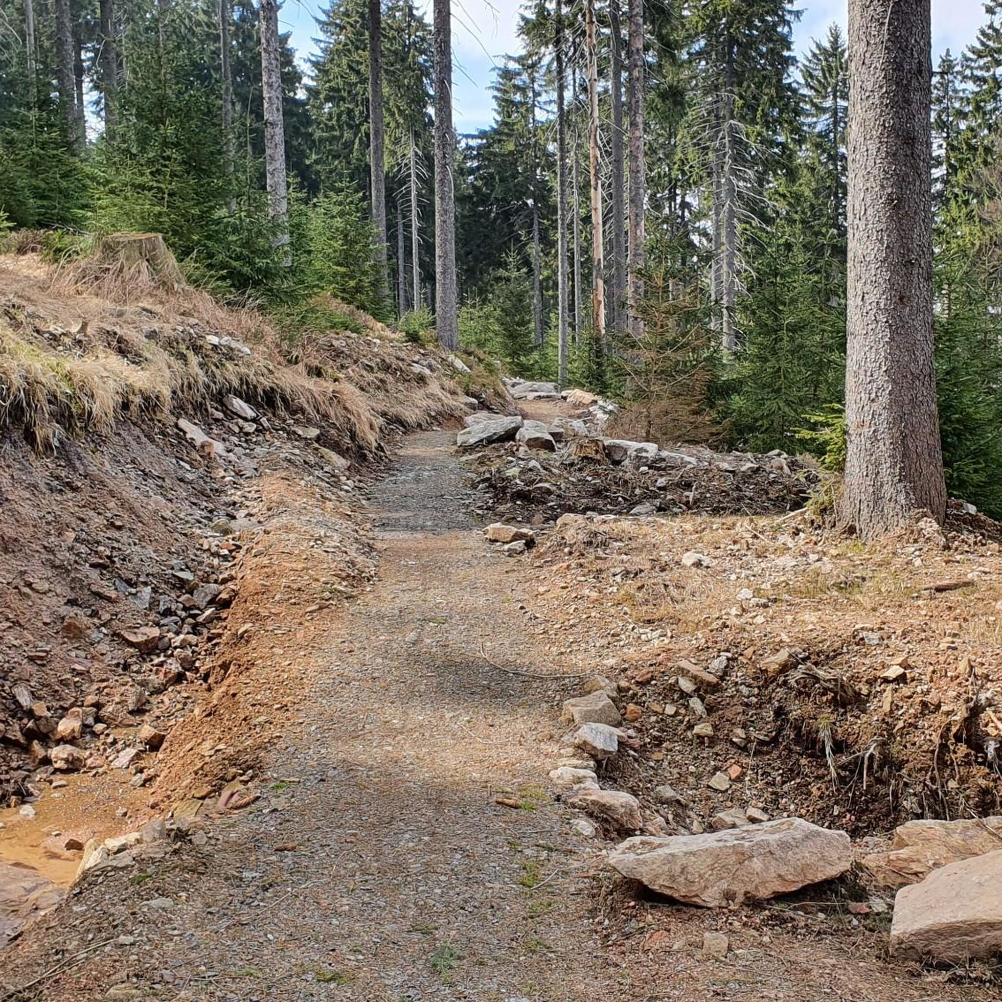
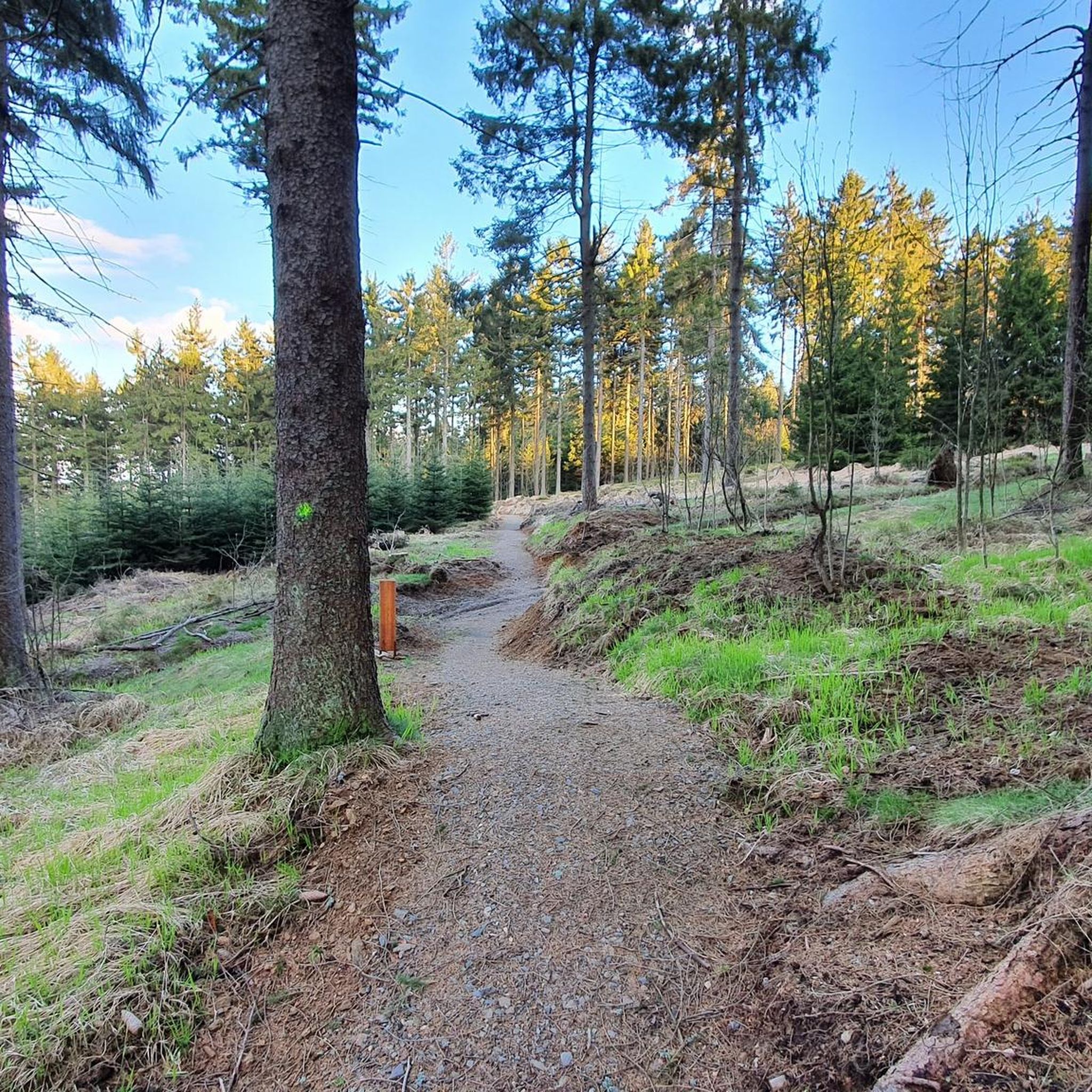
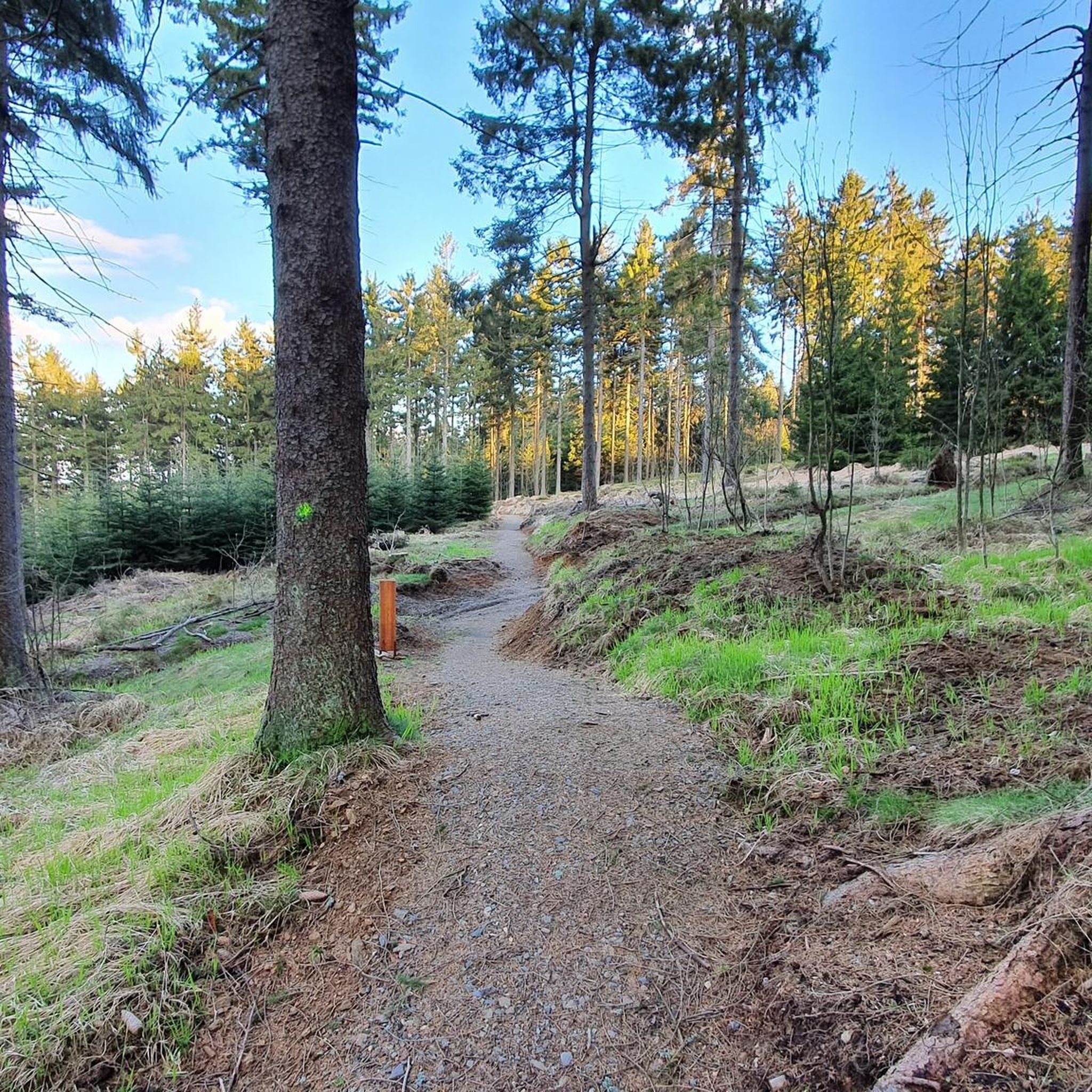
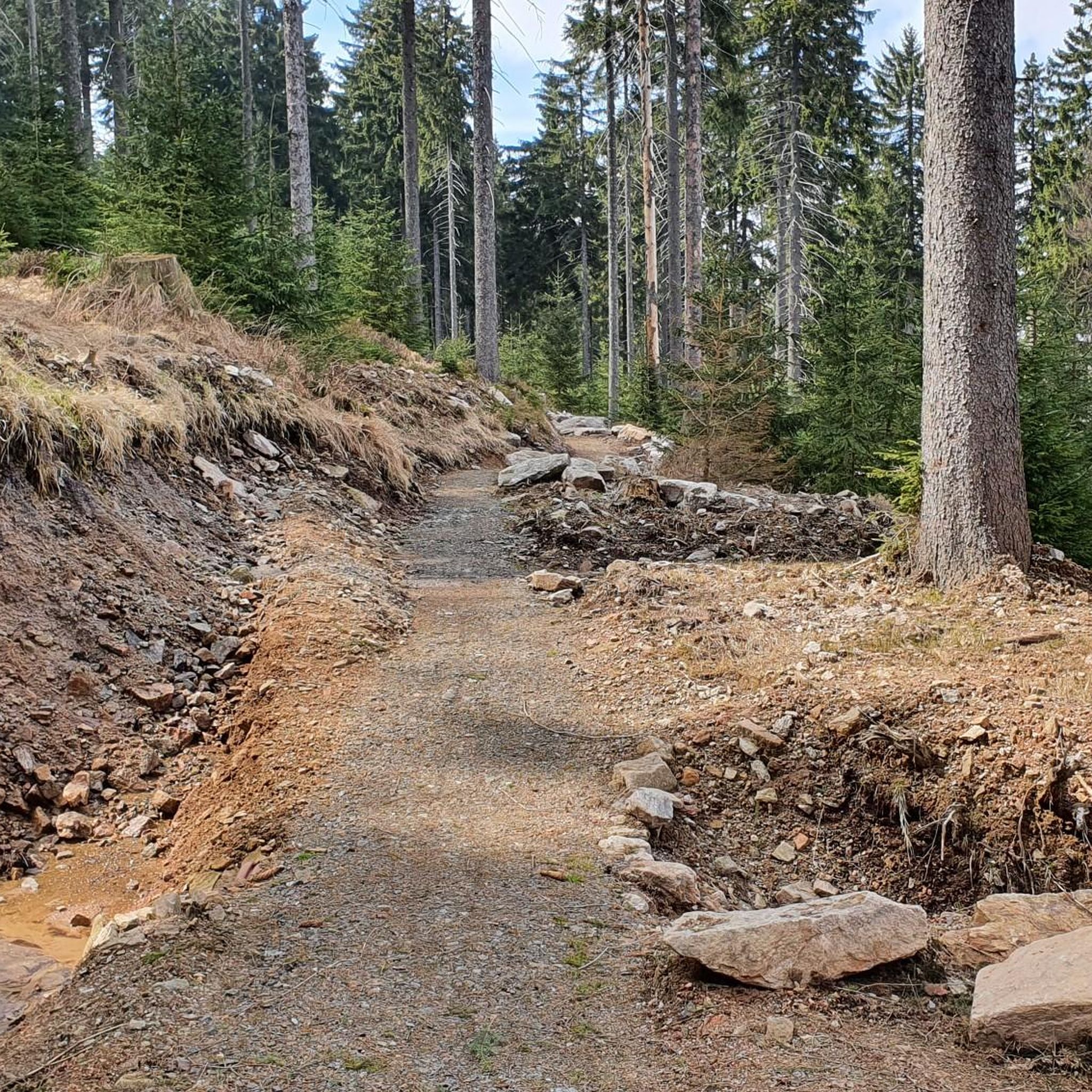

Tips from the Community

Much more information at: https://www.tvrzbouda.cz/o-tvrzi
2
0
The concrete observation tower, which also serves water supply purposes, was added to the cottage in 1931-32 according to the design of Antonín Parkman. After 1939, it housed a rehabilitation institute for German airmen. In the 1960s, the observation tower received a roof over the observation deck, and in the 1980s, a new conical roof. Today, you can enjoy the view from the observation deck at a height of 25 meters above the ground. You will see Praděd, Kralický Sněžník, Červenohorské sedlo or the Polish border region. Mapy.com
1
0
Kramářova chata is located in a saddle below Suchý vrch. The original brick shelter was opened to the public on October 20, 1925. The current building was opened to the public on July 6, 1928. After privatization in the 1990s, the cottage fell into considerable disrepair and was closed in 1996. In July 2003, the cottage burned down and remained in disrepair for several more years. Mapy.com
1
0
The entrance blockhouse of the Bouda fortress, object K-Ba-S 22a Krok, is located on the far side of the hill so that supplies could be supplied as continuously as possible even during the war. In addition to the infantry entrance of normal size, the object is also equipped with an entrance for trucks. On the right side of the entrance, you can see a museum exhibit, an original, never mounted bell for the AJ-N light machine gun in resistance S (wall thickness 200 mm). The Bouda artillery fortress is one of the five completed artillery fortresses built as part of the Czechoslovak fortifications. The artillery fortresses were built as the most extensive complexes of heavy fortifications. The Bouda fortress consists of 5 objects called blockhouses, which were built in the years 1934-1938. When the Munich Agreement was signed in September 1938, the fortress had not yet been armed. During six tours of varying lengths, visitors will enter vast underground spaces untouched by extensive renovations. Mapy.com
2
1

A very impressive bunker complex with an eventful history. A hike to the many smaller combat positions and bunkers in the forest is also recommended.
0
0

During six tours of varying lengths, visitors will visit vast underground spaces untouched by extensive modifications.
2
0
The renovated cottage on the crest of the Eagle Mountains offers modern standard accommodation in 2-bed rooms and 4-bed apartments, a wellness area, a restaurant with a gourmet menu, a buffet, a lookout tower, a field with deer and viewing points. The surrounding nature encourages not only sports, but also relaxation.
2
0

My book recommendation – it provides a good introduction to the region and hike: Adršpach-Teplice Rocks - Eagle Mountains & Jeseníky Mountains A travel guide for Bohemia & Moravia with travel & hiking sections for: Adršpach-Teplice Rocks & Broumov Walls; Table Mountains National Park - with the Wild Holes (Błędne Skały); Eagle Mountains, Jeseníky Mountains with Kłodzko Sněžník Mountain and with 43 hikes from Trutnov on the edge of the Giant Mountains to Ostrava in Moravian Silesia and from Olomouc to Hradec Králové & Pardubice Information about the book & ordering: www.reise-karhu.de/reisebuecher/adersbacher-felsen-adlergebirge.html ISBN: 978-3-9816577-5-3
2
0
Frequently Asked Questions
How many hiking trails are there in Přírodní Park Suchý Vrch - Buková Hora?
Přírodní Park Suchý Vrch - Buková Hora offers a diverse network of over 20 hiking trails. These routes vary in difficulty, ranging from easy strolls to more challenging treks, ensuring options for all experience levels.
Are there easy family-friendly hikes in Přírodní Park Suchý Vrch - Buková Hora?
Yes, the park features several easy routes suitable for families. One excellent option is the Bouda Artillery Fortress loop from Přírodní park Suchý vrch - Buková hora, an easy 3.3-mile (5.2 km) path that leads through forested areas to a historical fortress, offering an engaging experience for all ages.
What kind of challenging hikes can I find in the park?
For those seeking a challenge, Přírodní Park Suchý Vrch - Buková Hora has 4 difficult routes. An example is the Bouda Artillery Fortress loop from Mladkov, a substantial 10.8-mile (17.4 km) trail that takes about 5 hours 15 minutes to complete, traversing varied terrain with significant elevation changes.
What interesting landmarks or attractions can I see along the trails?
The park is rich in historical and natural landmarks. Hikers can explore the impressive Bouda Artillery Fortress, a significant historical site. Another notable point of interest is the Kramářova Chata and Observation Tower on Suchý Vrch, offering panoramic views of the surrounding landscape.
Are there any circular routes available for hiking?
Yes, many of the trails in Přírodní Park Suchý Vrch - Buková Hora are designed as circular routes, allowing you to start and end at the same point. For instance, the Prostřední vrch [Červená Voda] loop from Orličky is a popular 4.4-mile (7.1 km) loop offering scenic views.
What do other hikers enjoy most about Přírodní Park Suchý Vrch - Buková Hora?
The park is highly rated by the komoot community, with an average score of 4.6 stars from over 40 reviews. Hikers often praise the diverse terrain, the well-maintained paths, and the combination of natural beauty with historical sites like the Bouda Artillery Fortress.
Is there parking available at the trailheads?
Yes, parking is generally available near popular trailheads and access points within Přírodní Park Suchý Vrch - Buková Hora. Specific parking information can often be found on individual route pages or local signage.
What is the best season for hiking in Přírodní Park Suchý Vrch - Buková Hora?
The best season for hiking is typically from spring through autumn (May to October), when the weather is mild and the trails are clear. Spring brings lush greenery, while autumn offers vibrant fall foliage. Winter hiking is also possible, but some trails may be covered in snow or ice, requiring appropriate gear.
Can I bring my dog on the hiking trails?
Generally, dogs are welcome on trails in Přírodní Park Suchý Vrch - Buková Hora, provided they are kept on a leash and owners adhere to local regulations regarding waste disposal. It's always a good idea to check specific trail rules before heading out.
Are there any scenic viewpoints in the park?
Absolutely. The park's landscape of forested hills and valleys naturally offers many scenic spots. The Observation Tower on Suchý Vrch is a prime location for expansive views, allowing hikers to take in the beauty of the region.
Are there options for longer, full-day hikes?
Yes, for those looking for longer excursions, routes like the Prostřední vrch [Červená Voda] – Bouda Artillery Fortress loop from Orličky offer a substantial hike. This moderate 7-mile (11.3 km) trail takes over 3 hours to complete, combining natural beauty with historical exploration.
What is the terrain like in Přírodní Park Suchý Vrch - Buková Hora?
The terrain in Přírodní Park Suchý Vrch - Buková Hora is characterized by forested hills and valleys. You can expect a mix of natural paths, some with moderate ascents and descents, and occasionally more rugged sections, especially on challenging routes. The highest points, Suchý Vrch and Buková Hora, contribute to the varied elevation.
Most popular routes in Přírodní Park Suchý Vrch - Buková Hora
Most popular attractions in Přírodní Park Suchý Vrch - Buková Hora

Get inspired with the komoot mobile app


Explore more
Browse the best Hikes in other regions.
