The best walks and hikes in Landschaftsschutzgebiet Retzer Hügelland
4.7
(621)
3,127
hikers
138
hikes
Hiking in Landschaftsschutzgebiet Retzer Hügelland offers trails through the gentle hills of Austria's western Weinviertel region. This protected landscape area, spanning 445 hectares, is characterized by its distinctive "Trockenrasen" (dry grasslands) which support unique flora and fauna. The terrain primarily consists of accessible, rolling hills, providing a less strenuous experience compared to mountainous regions.
Best hiking trails in Landschaftsschutzgebiet Retzer Hügelland
- The most popular hiking route is Calvary Hill Retz – Retz War Cemetery loop from Retz, a 3.4…
Last updated: October 22, 2026
5.0
(4)
27
hikers
5.00km
01:21
70m
70m
Easy hike. Easily walkable paths.
5.0
(4)
15
hikers
12.4km
03:26
210m
210m
Moderate hike. Good fitness required. Easily walkable paths.

4.0
(1)
12
hikers
8.94km
02:23
100m
100m
Moderate hike. Good fitness required. Easily walkable paths.
5.0
(1)
28
hikers
7.67km
02:04
100m
90m
Moderate hike. Good fitness required. Easily walkable paths.
5.0
(1)
6
hikers
7.28km
02:02
140m
140m
Moderate hike. Good fitness required. Easily walkable paths.
Get access to more routes and recommendations from other explorers.
Already have an account?
Our route recommendations are based on thousands of hikes, rides, and runs completed by other people on komoot.
Start today with a free account
Your next adventure awaits.
Tips from the Community

The Retz Military Cemetery was established in 1978 by the relocation service of the Volksbund from the districts of Hollabrunn, Mistelbach, and Korneuburg. The burial ground blends harmoniously into the surrounding landscape. The cemetery was consecrated on September 30, 1979. A natural path, accompanied by low-lying flora, leads through an opening in the bounding stone wall to the grounds of the burial site. A granite cobblestone path leads past the high cross to the lower-lying graveyard, interspersed with groups of birch trees. Natural stone crosses made of Waldviertel granite mark the graves of those resting here. The cemetery was handed over to the care of the Austrian Federal Ministry of the Interior as of January 1, 2011.
0
0

Seen from the city center, the Znaim Gate presents a cheerful face...
0
0

A beautiful tower on the outskirts of Retz.
0
0
Very interesting building. You can climb the tower and get a view over Retz.
0
0

In 1546, the house came into the possession of the iron merchant Augustinus Resch. Whether the house was painted using the sgraffito technique during his lifetime or under his son-in-law is unclear. More on the history of the house: https://www.retz.gv.at/de/Tourismus_und_Freizeit/Geschichte/Das_Sgraffitohaus
3
0

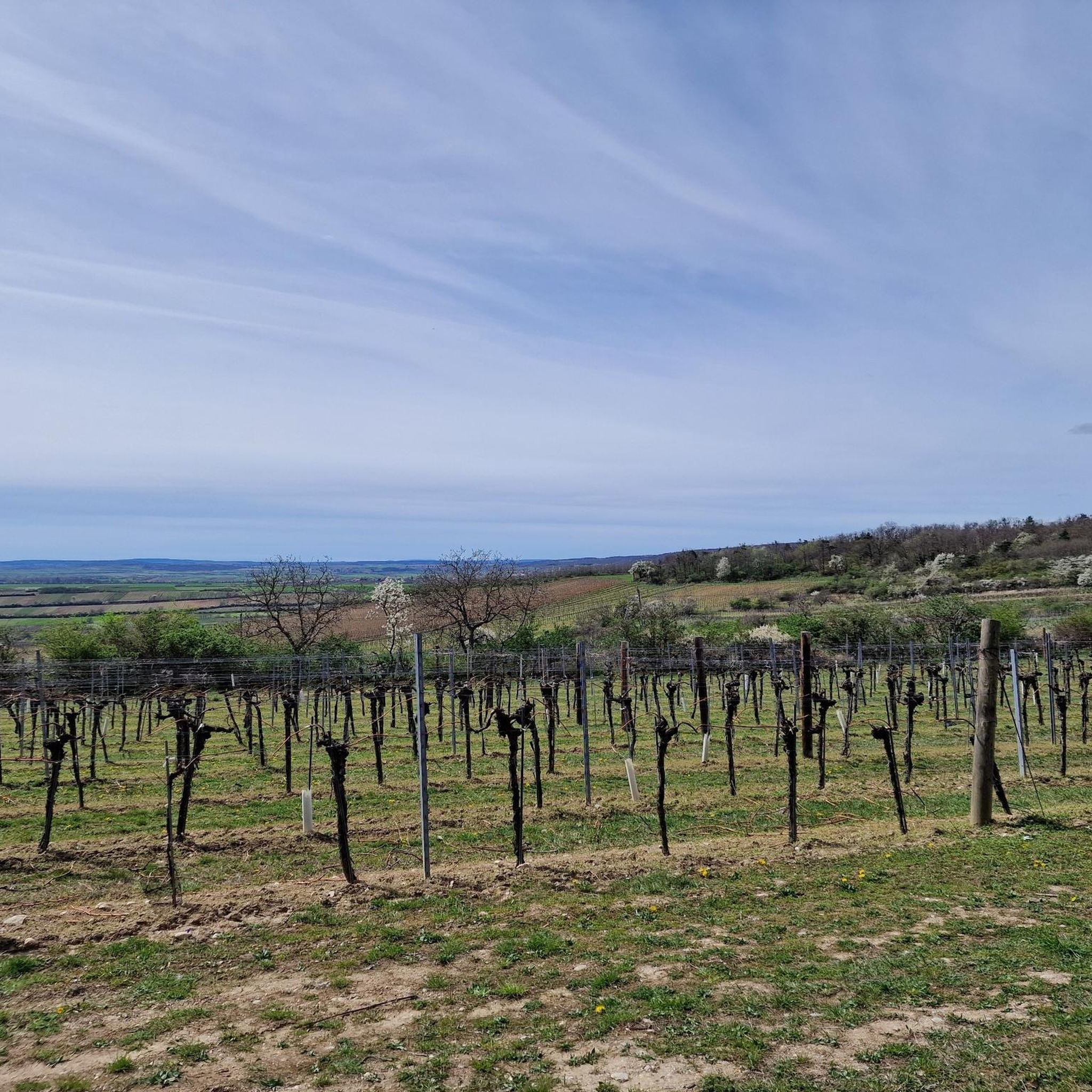
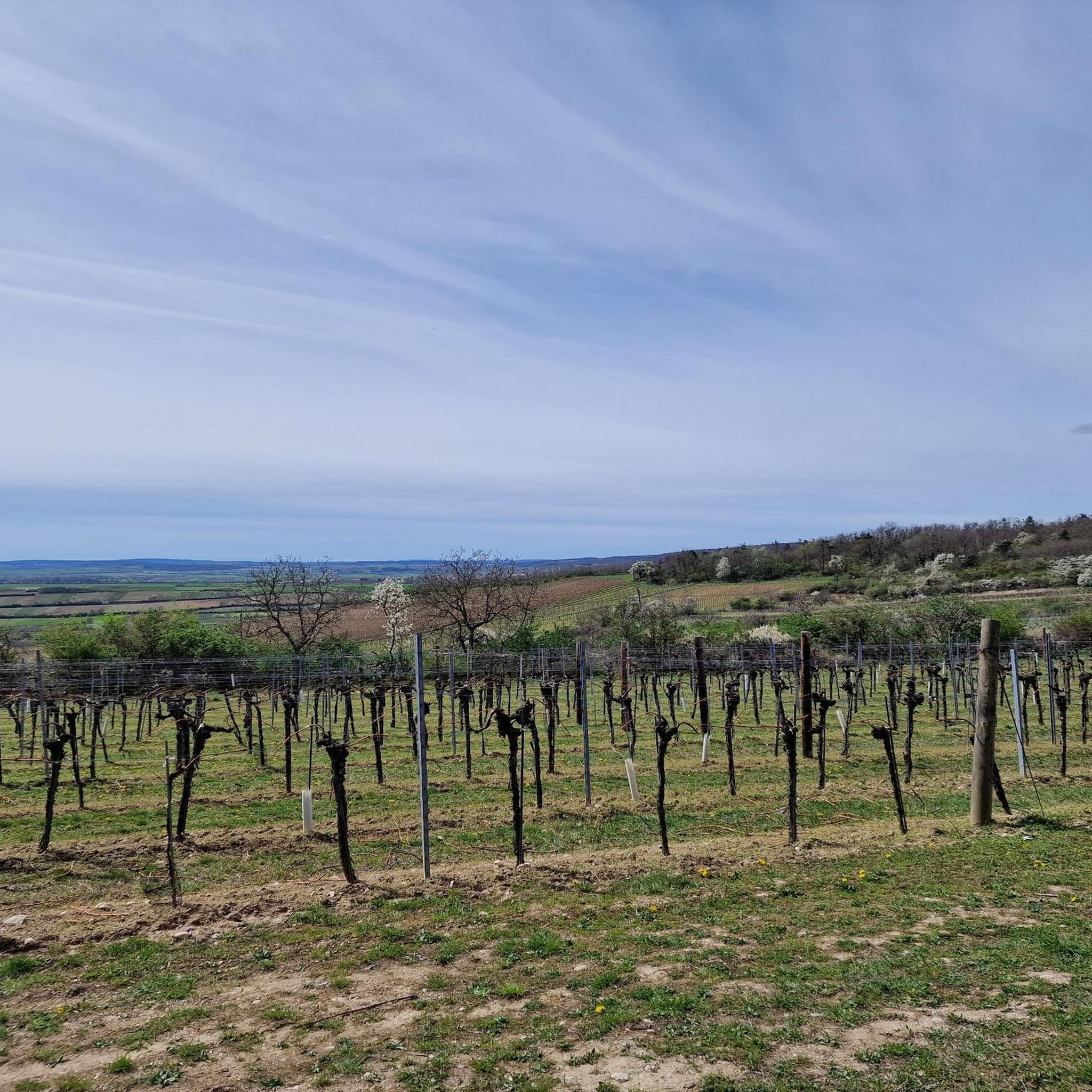
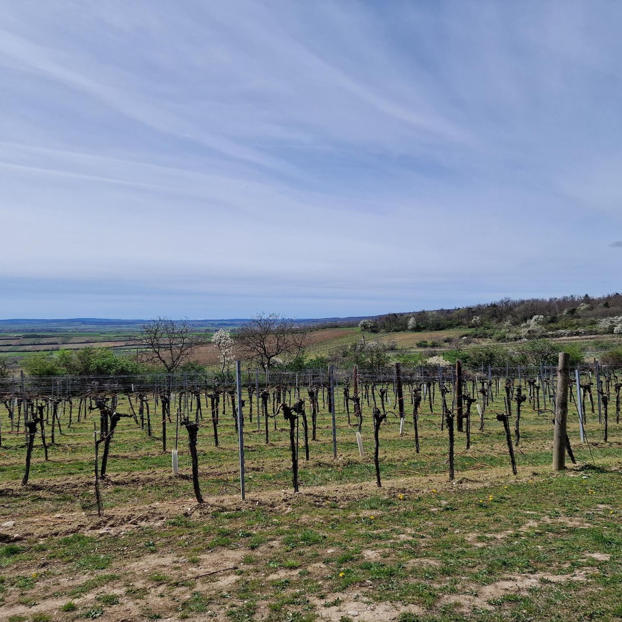
The area around Kellergasse is a hiking highlight
1
0
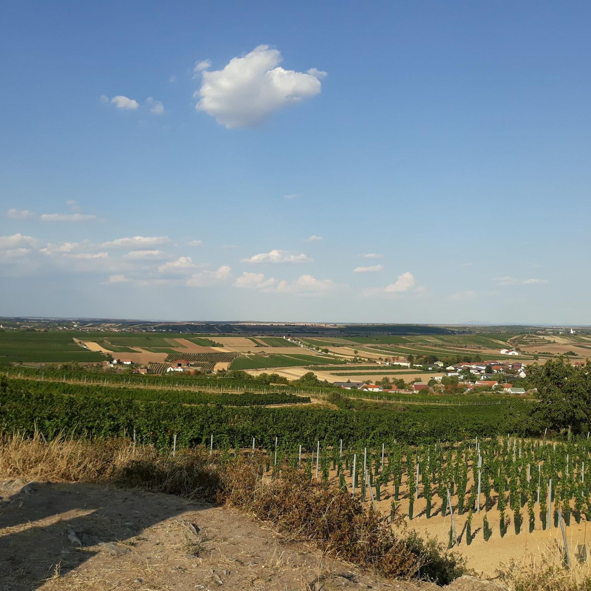
An impressive, great natural landscape
0
0
A beautiful city with many possibilities
0
0
Frequently Asked Questions
How many hiking trails are available in Landschaftsschutzgebiet Retzer Hügelland?
There are over 140 hiking routes in Landschaftsschutzgebiet Retzer Hügelland. These include a variety of options, with 66 easy trails, 73 moderate routes, and 9 more challenging excursions, ensuring choices for all skill levels.
What kind of landscape can I expect when hiking in the Retzer Hügelland?
The Retzer Hügelland is characterized by its gentle, rolling hills, making for a pleasant and less strenuous hiking experience compared to mountainous regions. A unique feature is the presence of "Trockenrasen" (dry grasslands), which thrive in one of Austria's driest areas and support distinctive flora and fauna.
Are there any family-friendly hiking options in Landschaftsschutzgebiet Retzer Hügelland?
Yes, the region's gentle hills make it suitable for families. Many of the 66 easy trails are ideal for shorter outings with children. For example, the View of Retz Windmill – Dominican Monastery, Retz loop from Retz is an easy 5 km path offering scenic views without significant elevation gain.
What are some notable historical sites or landmarks I can see while hiking?
The Retzer Hügelland offers several points of historical interest. You can visit the Retz War Cemetery, or explore the Parapluie Shelter at Parapluieberg, a historical resting spot with a weather cross. The Calvary Hill Retz – Retz War Cemetery loop from Retz specifically passes by historical sites.
Are there any circular hiking routes available?
Yes, many routes in the Retzer Hügelland are designed as loops. Popular circular options include the Calvary Hill Retz – Retz War Cemetery loop from Retz (5.4 km) and the longer Verderber House, Retz – Znaim Gate loop from Retz (12.2 km), which takes you through historical landmarks in Retz.
What do other hikers say about the trails in Landschaftsschutzgebiet Retzer Hügelland?
The hiking routes in Landschaftsschutzgebiet Retzer Hügelland are highly regarded by the komoot community, holding an average rating of 4.8 stars from over 500 reviews. Hikers often praise the well-maintained paths, the gentle terrain, and the combination of natural beauty with cultural landmarks.
What is the best time of year to go hiking in this region?
Given the region's unique dry grasslands and gentle terrain, spring and autumn are particularly pleasant for hiking, offering mild temperatures and vibrant natural colors. Summer can also be enjoyable, though it is one of Austria's driest regions, so planning for hydration is advisable.
Are there any routes that offer views of the Retz Windmill?
Yes, the View of Retz Windmill – Dominican Monastery, Retz loop from Retz is an excellent choice for this. This easy 5 km path provides clear views of the iconic Retz Windmill and Heuriger, as well as the Dominican Monastery.
What is the typical difficulty level of hikes in the Retzer Hügelland?
The majority of hikes in the Retzer Hügelland are classified as easy or moderate. With 66 easy and 73 moderate routes out of 148 total, the area is very accessible for most hikers. There are also 9 more difficult trails for those seeking a greater challenge.
Can I find longer hiking routes for a full day out?
Yes, while many routes are shorter, there are options for longer excursions. The Verderber House, Retz – Znaim Gate loop from Retz is a moderate 12.2 km trail that typically takes over three hours to complete, offering a more extended experience through historical landmarks.
Are there any specific natural features to look out for?
Beyond the gentle hills, the most distinctive natural feature is the "Trockenrasen" or dry grasslands. These unique ecosystems are adapted to the region's low rainfall and support a special array of flora and fauna, making them an interesting sight for nature enthusiasts.
Most popular routes in Landschaftsschutzgebiet Retzer Hügelland
Most popular attractions in Landschaftsschutzgebiet Retzer Hügelland

Get inspired with the komoot mobile app


Explore more
Browse the best Hikes in other regions.
