Přírodní Park Poluška
Přírodní Park Poluška
The best road cycling routes in Přírodní Park Poluška
4.7
(8)
238
riders
35
rides
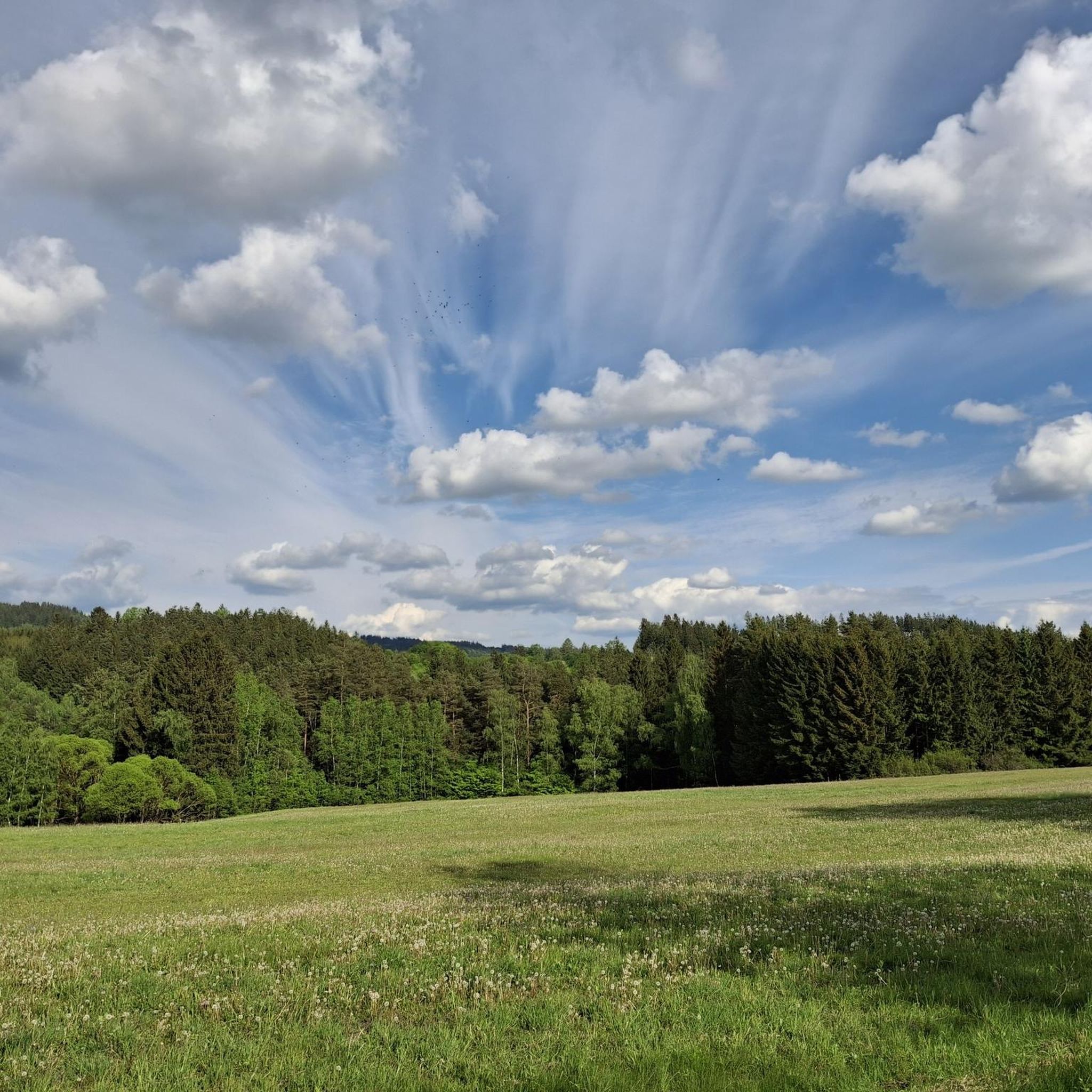
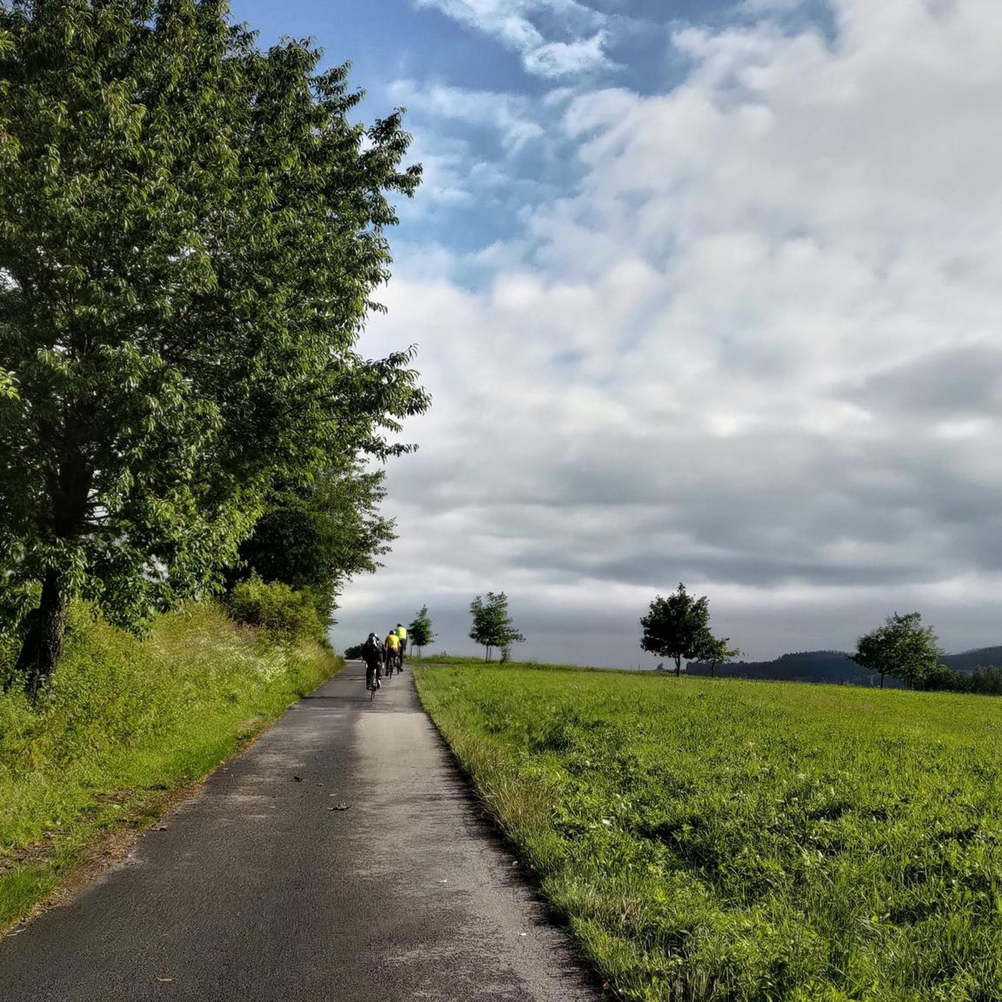
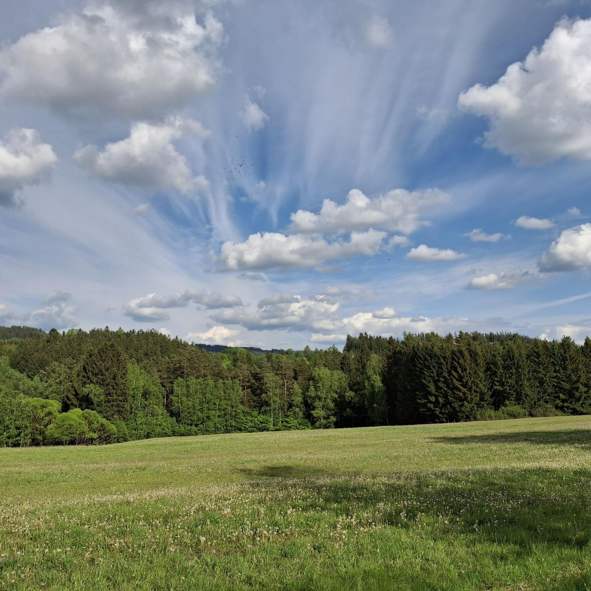
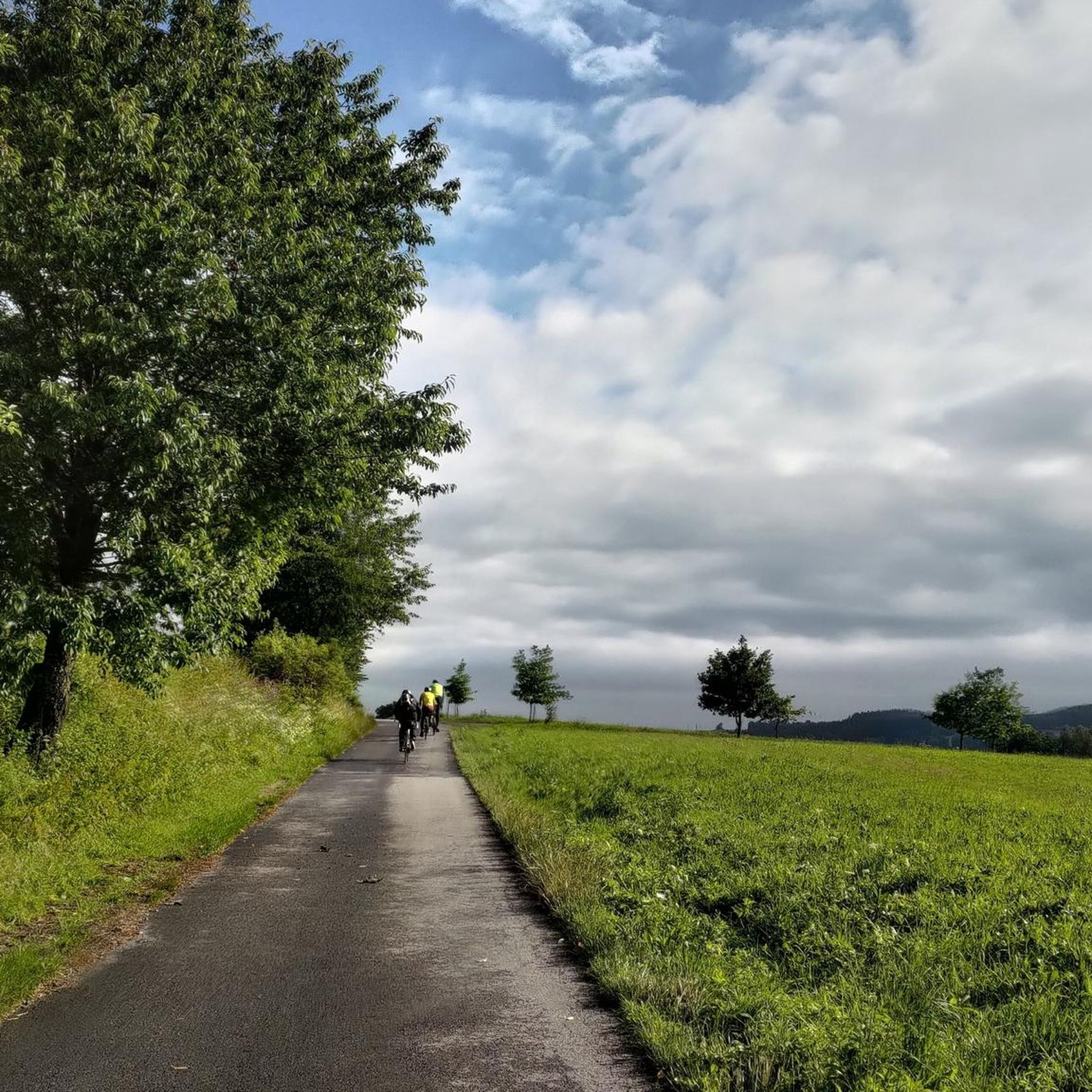
Road cycling in Přírodní Park Poluška, a protected mountainous area near Český Krumlov, offers diverse terrain between the Vltava and Malše rivers. The region features elevations ranging from approximately 460 to 924 meters above sea level, providing varied topography with both climbs and descents. Cyclists traverse expansive forests and serene meadows on mostly paved surfaces. This landscape ensures engaging road cycling experiences through natural scenery.
Best road cycling routes in Přírodní Park Poluška
- The most popular road cycling route is…
Last updated: August 20, 2026
7
riders
63.1km
02:46
460m
460m
Moderate road ride. Good fitness required. Some segments of this route may be unpaved and difficult to ride.
4
riders
83.7km
04:23
1,090m
1,090m
Hard road ride. Very good fitness required. Some segments of this route may be unpaved and difficult to ride.

Sign up for free
3
riders
70.6km
03:24
980m
980m
Hard road ride. Very good fitness required. Mostly well-paved surfaces and easy to ride.
3
riders
41.1km
01:57
560m
560m
Moderate road ride. Good fitness required. Mostly well-paved surfaces and easy to ride.
5
riders
41.8km
02:02
580m
580m
Moderate road ride. Good fitness required. Mostly well-paved surfaces and easy to ride.
Get access to more routes and recommendations from other explorers.
Sign up for free
Already have an account?
Our route recommendations are based on thousands of hikes, rides, and runs completed by other people on komoot.
Start today with a free account
Your next adventure awaits.
Login or Signup
Popular around Přírodní Park Poluška
Tips from the Community


With an area of 1.78 hectares, Přemysl Otakar II Square in České Budějovice is the second largest square in the Czech Republic, after the town square in Vysoké Mýto (2.05 hectares). Since January 1, 1991, it has been named after the city founder King Přemysl Otakar II of Bohemia; previously (especially in the 20th century) its name changed frequently. The almost square square with a side length of 133 meters was already laid out when the city was founded in 1265. Around it, eight-meter-wide plots were measured for the construction of burgher houses. Today, there are 48 houses around the square, including the baroque town hall, the Art Nouveau building Puklics House, and the Neo-Renaissance masterpiece Biene Palace.
3
0
In the 15th century, two Gothic townhouses were combined into one building on the southwest corner of Přemysl Otakar II Square to create a new, representative town hall. Due to structural problems, demolition of the town hall began in 1555 and a new one was built on the same footprint. This one also no longer satisfied the town council in 1727. A new building was decided upon, which the council members commissioned from the architect Anton Erhard Martinelli, who came from Northern Italy. The work lasted from 1727 to 1730. The overall silhouette of the now baroque town hall was changed by three towers. The last significant change to the town hall took place in 1983, when the facade was changed from its former ochre-yellow hue to its current grey-blue during the renovation. Since October 1995, there has been a computer-controlled carillon with sixteen bells in the central tower. It can play up to eighty different melodies.
3
0
The foundation stone of the parish church of the royal town of České Budějovice was laid in 1265, shortly after the town was founded. Around 1297, the main altar was consecrated and the church was opened, although it was not yet completed (the main building was probably only finished in the mid-14th century). Originally an early Gothic basilica, the church was almost completely destroyed in the great town fire of 1641. The subsequent restoration gave the church its present-day baroque appearance. St. Nicholas Cathedral is the main church of the Diocese of České Budějovice.
3
0

Beautiful spot connected with a walk, which quickly leads to the town center if you park outside with a tour bus
2
0
The cathedral was rebuilt in the late Gothic style between 1518 and 1535.
2
0

Nice museum with a small café (weekends only and cash), toilets and water
0
0

Leopoldschlag is a village in Upper Austria's Freistadt District, near the border with the Czech Republic. The area is characterized by rolling hills and dense forests, offering opportunities for outdoor activities like hiking and cycling. The town center features a late Gothic parish church dedicated to St. George and a historic Pranger — a medieval pillar used for public punishment — that dates back to the 16th century and reflects the towns rich history.
1
0
Frequently Asked Questions
How many road cycling routes are available in Přírodní Park Poluška?
Přírodní Park Poluška offers a comprehensive network of road cycling routes. You'll find over 40 distinct road cycling tours, providing a wide range of options for various skill levels and preferences.
What kind of terrain can I expect when road cycling in Přírodní Park Poluška?
The park features diverse terrain with elevations ranging from approximately 460 to 924 meters above sea level, meaning you'll encounter both engaging climbs and rewarding descents. Cyclists can expect to traverse expansive forests and serene meadows, with most routes on paved surfaces. The landscape ensures consistently interesting rides through picturesque nature.
Are there road cycling routes suitable for beginners or families in Přírodní Park Poluška?
Yes, while many routes offer a challenge, the region does provide options suitable for different ability levels. There is at least one easy route, and the broader network includes sections described as 'easy routes for family trips' within its 386 kilometers of road cycling paths. These routes often feature mostly paved surfaces, making them comfortable for less experienced riders.
What are some challenging road cycling routes for experienced riders in Přírodní Park Poluška?
For experienced cyclists seeking a challenge, Přírodní Park Poluška offers 16 difficult routes. A notable option is the Windhaag – Liebenau Pass loop from Omlenice, which is 53.0 miles (85.2 km) long and features significant elevation gain, demanding strong endurance. Another challenging ride is the Krejčů rybník – Mezilesí loop from Omlenice, covering 43.8 miles (70.5 km) with substantial climbs.
Are there any circular road cycling routes in the park?
Many of the road cycling routes in Přírodní Park Poluška are designed as loops, allowing you to start and finish at the same point. For example, the popular Market Square with Samson Fountain loop from Střítež is a 39.5-mile (63.5 km) circular route. The Roadbike loop from Kaplice is another excellent circular option.
What is the best time of year for road cycling in Přírodní Park Poluška?
While specific seasonal closures are not noted, the region's diverse views and terrains are best enjoyed during the warmer months, typically from spring through early autumn. This period offers more favorable weather conditions for cycling through the expansive forests and serene meadows, ensuring a pleasant experience.
What natural features or scenic viewpoints can I expect to see along the road cycling routes?
Přírodní Park Poluška is characterized by 'almost untouched nature,' featuring expansive forests and serene meadows. The 'diverse views and terrains' ensure that rides are consistently interesting. While specific road-accessible scenic viewpoints within the park are not detailed, the general description of 'picturesque nature' suggests that scenic vistas are an inherent part of the cycling experience as you traverse the mountainous ridge between the Vltava and Malše rivers.
What do other road cyclists enjoy the most about road cycling in Přírodní Park Poluška?
The area is highly rated by the komoot community, with an average score of 4.75 stars. Cyclists often praise the diverse terrain, which offers a mix of challenges and scenic beauty, moving from forest roads to more open, hilly sections. The mostly paved surfaces and the tranquil atmosphere of the protected park are also frequently highlighted as positive aspects.
Is there parking available for cyclists near the road cycling routes?
While specific parking locations are not detailed, given the increasing interest from cyclists and the extensive network of routes, it is generally expected that parking facilities are available in or near the starting points of popular routes and towns like Omlenice, Střítež, or Kaplice, which serve as common access points to the park's trails.
Are there cafes or places to stop for refreshments along the road cycling routes?
The region integrates elements of traditional architecture, with hamlets and homesteads that add to the charm. While specific cafes directly on the routes are not listed, towns and villages near or along the routes, such as those mentioned as starting points (e.g., Omlenice, Střítež, Kaplice), are likely to offer options for refreshments and meals.
What should I bring for road biking in Přírodní Park Poluška?
Given the varied topography with climbs and descents, it's advisable to bring appropriate gear for changing conditions. This includes a well-maintained road bike, helmet, sufficient water and snacks, basic repair kit, and layers of clothing. A GPS device or a loaded komoot tour is also recommended to navigate the extensive network of routes effectively.
Can I combine road cycling in Přírodní Park Poluška with cultural exploration?
Absolutely. The park's proximity to the historical town of Český Krumlov, a UNESCO World Heritage site, means that cyclists can easily combine their rides with cultural exploration. You can connect to broader regional cycling trails along the Vltava River, which often lead to or through such cultural landmarks.
Most popular routes in Přírodní Park Poluška

Get inspired with the komoot mobile app


Explore more
Browse the best Road cycling routes in other regions.
