The best MTB trails in Obere Ilz
4.6
(1616)
5,113
riders
570
rides
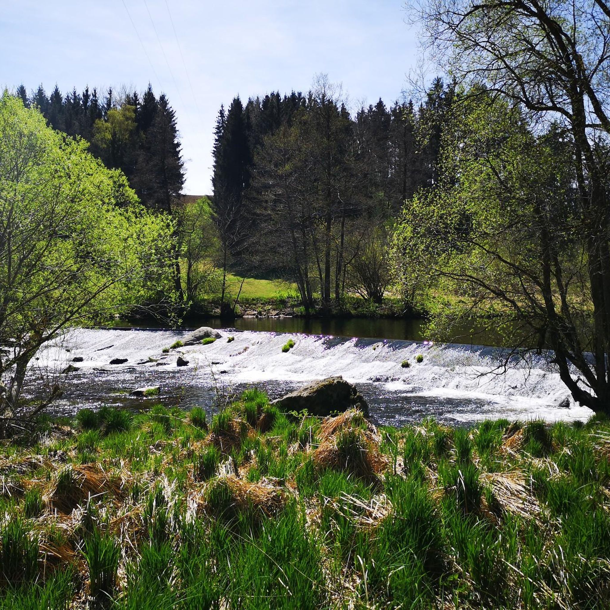
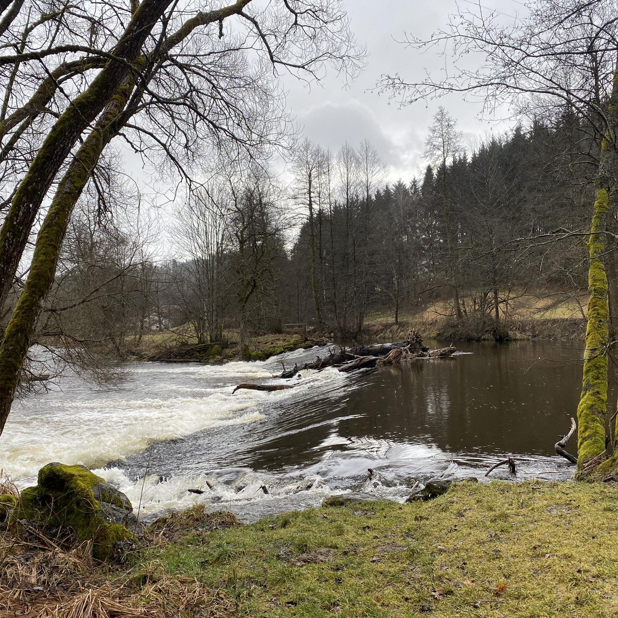
Mountain biking in Obere Ilz offers diverse terrain within the Bavarian Forest, characterized by the nearly natural Ilz River, its floodplain forests, and granite walls. The region provides a well-developed infrastructure for cyclists, with routes catering to various skill levels. An extensive network of paths is available, allowing mountain bikers to explore the area's natural beauty.
Best mountain bike trails in Obere Ilz
- The most popular mountain bike trail is Ilz River Singletrack Trail – upper Ilz circular trail loop…
Last updated: June 26, 2026
4.2
(6)
28
riders
Easy mountain bike ride. Great for any fitness level. Suitable for all skill levels.
4.8
(6)
33
riders
Moderate mountain bike ride. Great for any fitness level. Advanced riding skills necessary.

Sign up for free
5.0
(3)
11
riders
37.7km
03:21
790m
790m
Hard mountain bike ride. Good fitness required. Advanced riding skills necessary. Some portions of the route may require you to push your bike.
4.0
(2)
7
riders
Moderate mountain bike ride. Good fitness required. Suitable for all skill levels.
4.7
(6)
10
riders
Hard mountain bike ride. Good fitness required. Advanced riding skills necessary. Some portions of the route may require you to push your bike.
Get access to more routes and recommendations from other explorers.
Sign up for free
Already have an account?
Our route recommendations are based on thousands of hikes, rides, and runs completed by other people on komoot.
Start today with a free account
Your next adventure awaits.
Login or Signup

Other adventures in Obere Ilz

Tips from the Community

The small pilgrimage church "Maria Bründl", (first built in 1482) with the "healing spring for eye ailments" in an idyllic location is an impressive highlight on this hike.
0
0

The starting point of the four-kilometer hike with 150 meters of elevation gain is the hiking car park in Entschenreuth (Zum Wackelstein, 94163 Saldenburg-Entschenreuth). There is also a bus stop in the village. We follow the well-signposted circular hiking trail 84 for the entire tour. From the car park, we begin the hike on a forest path toward the edge of the forest. Right at the beginning, we pass a meadow with numerous knapweeds, which bloom well into autumn. If you look closely, you can see that the bright pink blossoms are surrounded by brown, scaly bracts, which together look a bit like a pineapple. After a few hundred meters, the path branches off to the left into the forest. From here, it's a steady climb, with some very steep sections awaiting us on the way to the Wackelstein. At the edge of the forest, you can hear a veritable concert of birds, and the call and song of a coal tit mingles with the great tits. At first, the forest is particularly idyllic, with numerous pines mingling with the beeches and spruces. A closer look at the forest floor is also worthwhile, as the heather is currently in bloom here. Gradually, the path becomes steeper and steeper, and after a while, the pines give way to a beech forest with large, moss-covered stones. Once at the top, it's worth taking a detour to the right to the wobbling stone. Can you make the stone, which weighs an estimated 50 tons, wobble? It's worth trying! The information board there tells you all about the origins of such natural phenomena. After this detour, we head back west, continuing along the Red 84 trail. Now the path descends steeply and gently. After a quarter of an hour, we pass an impressive rock formation, the Stone Church. Once at the bottom, we rejoin the same forest path at the edge of the forest, which we follow back to the parking lot. https://www.bayerischer-wald.de/aktivitaeten/wandern/wandertipps/zum-wackelstein-bei-entschenreuth
3
0
Hidden in the dense greenery of the Bavarian Forest lies the Diebstein Cave, a fascinating natural phenomenon and a place that has captured the imagination for centuries. Formed by so-called "semi-finished weathering," the cave offers a striking insight into the geological dynamics of the region: The rock is less resistant in deeper layers and weathers more quickly – this is how the cave-like cavities, which can now be explored with a flashlight, were formed. The name "Diebstein Cave" is not accidental. In the past, it was considered sinister by the local population, a refuge for poachers and cattle rustlers, who hid their loot here and allegedly even slaughtered it. Legend has it that they hung the meat on nails inside the cave. Traces of this were reportedly visible until the 1930s. The cave is part of a popular hiking trail around Saldenburg and Thurmansbang. The route leads through tranquil forests, past rock formations and small chapels, an experience for nature lovers, history buffs, and anyone seeking the unassuming and unspoiled. The Diebstein Cave is not a tourist hotspot with a signage system and souvenir shop, but a powerful place whose silence and isolation touch the soul. https://www.ostbayern-tourismus.de/attraktionen/diebsteinhoehle-462b9fbdc5
2
0


Beautiful running route, with a lot of activity at times.
0
0

A good opportunity to cross the river...
0
0
A very nice place to cross the bridge and take a look at the other side. There are beautiful trails leading to and from this place.
0
0
Like everywhere along the Ilz, pure nature and a chance to unwind.
0
0
Frequently Asked Questions
How many mountain bike trails are available in Obere Ilz?
Obere Ilz offers a wide selection of mountain bike trails, with over 570 routes recorded on komoot. These trails cater to various skill levels, from easy paths to more challenging rides.
What is the general difficulty level of mountain bike trails in Obere Ilz?
The trails in Obere Ilz offer a good mix of difficulties. You'll find approximately 86 easy routes, over 400 moderate routes, and around 88 difficult trails, ensuring options for all experience levels. The region's terrain, characterized by the Ilz River, floodplain forests, and granite formations, contributes to this diversity.
Are there any family-friendly mountain bike trails in Obere Ilz?
Yes, there are family-friendly options available. For an easier ride along the scenic Ilz River, consider the Upper Ilz circular trail – Ilz River Singletrack Trail loop from Obere Ilz. This route is 6.2 miles (9.9 km) long and classified as easy, making it suitable for families.
Can I bring my dog on the mountain bike trails in Obere Ilz?
Many trails in Obere Ilz are suitable for mountain biking with dogs, especially those that follow wider paths or forest roads. However, it's always recommended to keep your dog on a leash, especially in nature reserves or areas with wildlife, and to check local regulations for specific trails. The region's natural setting along the Ilz River provides a great environment for outdoor activities with pets.
What natural features or landmarks can I expect to see along the mountain bike trails?
The trails in Obere Ilz are rich in natural beauty. You can explore the pristine Ilz River, ride past floodplain forests, and encounter granite formations. Notable spots include the Riverside rest area at the confluence of the Wolfsteiner Ohe and the Ilz, and the Ilz Trail in the Obere Ilz Nature Reserve. Some routes, like the Buchwies Pond – Wackelstein (Rocking Stone) loop from Obere Ilz, even pass by unique geological features such as the Wackelstein (Rocking Stone).
Are there any circular mountain bike routes in Obere Ilz?
Yes, Obere Ilz offers several excellent circular mountain bike routes. A popular moderate option is the Ilz River Singletrack Trail – upper Ilz circular trail loop from Fürsteneck, which is 12.4 miles (20.0 km) long. For a more challenging experience, consider the Frauenau Drinking Water Reservoir loop from Eberhardsreuth, a difficult 44.9 miles (72.2 km) route.
What is the best time of year for mountain biking in Obere Ilz?
The best time for mountain biking in Obere Ilz is generally from spring through autumn. During these seasons, the weather is typically more favorable, and the trails are in good condition. The region's diverse landscapes, including the Ilz River and its forests, are particularly beautiful during these months.
Are there places to eat or stay near the mountain bike trails?
Yes, you can find amenities along or near the trails. The Schrottenbaummühle Guesthouse, Restaurant and Campsite is conveniently located directly on the banks of the Ilz River, offering Bavarian cuisine and accommodation. It's a great spot for a break or an overnight stay.
What do other mountain bikers say about the trails in Obere Ilz?
The mountain bike trails in Obere Ilz are highly regarded by the komoot community, holding an average rating of 4.6 stars from over 1400 reviews. Many riders praise the diverse terrain, the scenic beauty of the Ilz River, and the well-developed network of paths that cater to various skill levels.
Are there any routes that follow the Ilz River closely?
Absolutely. The Ilz River is central to the region's mountain biking experience. A great option is the Path Along the Ilz River – Ettlmühle watermill on the River Ilz loop from Obere Ilz. This moderate 18.4 miles (29.6 km) route allows you to ride alongside the river, experiencing its pristine condition and vibrant ecosystem.
Is there public transport access to the mountain bike trails in Obere Ilz?
While the region is well-suited for outdoor activities, specific public transport connections directly to all trailheads can vary. It's advisable to research local bus or train services to nearby towns like Hutthurm or Fürsteneck, and then plan your route from there. The broader Bavarian Forest region has an extensive network, but direct access to every trail might require some planning.
Where can I find parking for mountain biking in Obere Ilz?
Parking availability will depend on the specific trailhead you choose. Many starting points for popular routes, especially those near villages or attractions like the Schrottenbaummühle, often have designated parking areas. It's recommended to check the starting point of your chosen komoot tour for specific parking information.
Most popular routes in Obere Ilz
Most popular attractions in Obere Ilz

Get inspired with the komoot mobile app


Explore more
Browse the best MTB trails in other regions.
