The best cycling routes in Wildschutzgebiet Für Auerwild „Arber“
4.5
(3987)
22,481
riders
428
rides
Touring cycling in Wildschutzgebiet Für Auerwild „Arber“ offers routes through diverse landscapes, characterized by forested mountain flanks and mixed forests. The region features significant elevation changes, with the Großer Arber, the highest peak in the Bavarian Forest, and the Kleiner Arber. Glacial cirque lakes like the Großer Arbersee and the tranquil Schwarzer Regen river are prominent natural features. The terrain is generally hilly, providing varied cycling experiences.
Best touring cycling routes in Wildschutzgebiet Für Auerwild „Arber“
- The most popular touring…
Last updated: July 10, 2026
4.0
(9)
89
riders
Hard bike ride. Good fitness required. You may need to push your bike for some segments of this route.
5.0
(2)
29
riders
Hard bike ride. Very good fitness required. Mostly paved surfaces. Suitable for all skill levels.

Sign up for free
4.5
(4)
21
riders
20.9km
01:58
570m
570m
Hard bike ride. Very good fitness required. Mostly paved surfaces. Suitable for all skill levels.
13
riders
8.42km
00:47
230m
230m
Moderate bike ride. Good fitness required. Mostly paved surfaces. Suitable for all skill levels.
5.0
(1)
8
riders
20.8km
01:51
510m
510m
Hard bike ride. Very good fitness required. Mostly paved surfaces. Suitable for all skill levels.
Get access to more routes and recommendations from other explorers.
Sign up for free
Already have an account?
Our route recommendations are based on thousands of hikes, rides, and runs completed by other people on komoot.
Start today with a free account
Your next adventure awaits.
Login or Signup
Popular around Wildschutzgebiet Für Auerwild „Arber“
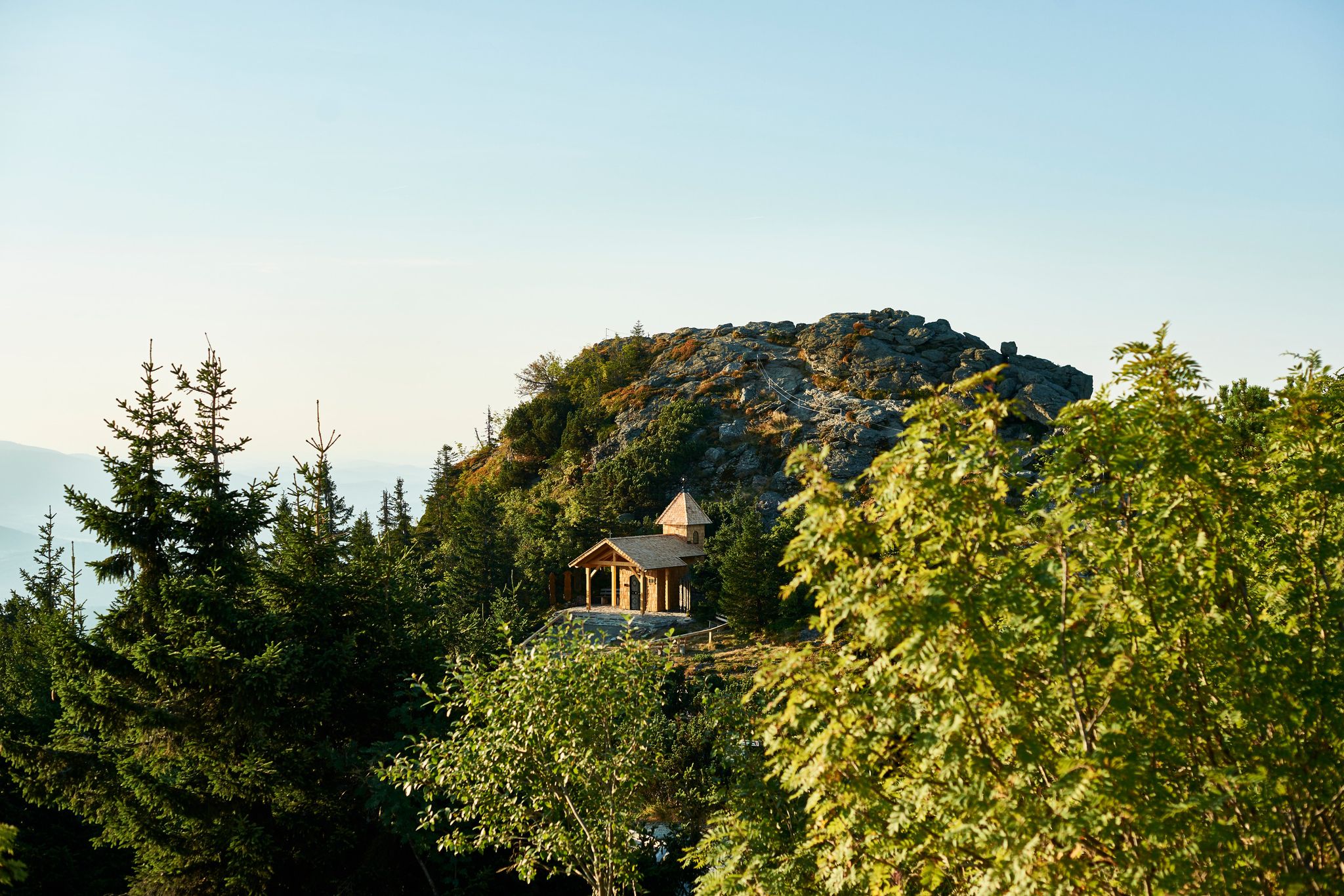
Six wonderful hikes around Bavaria’s Großer Arber
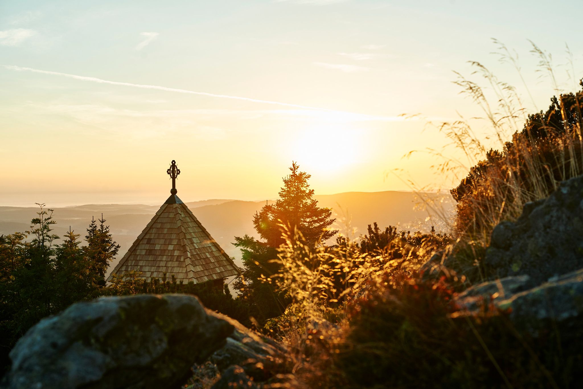
Unforgettable mountain experiences on the Großer Arber
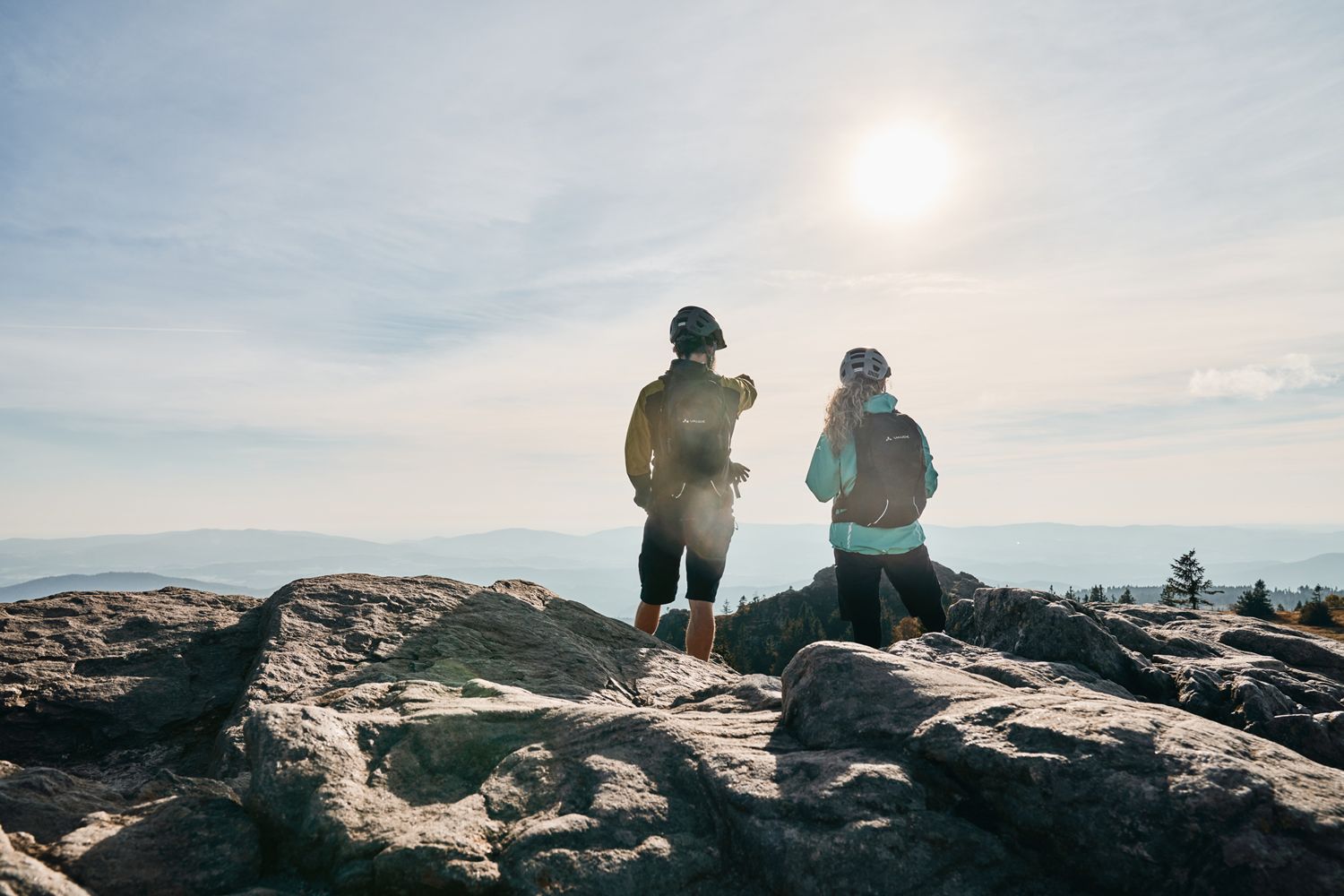
Trans Bayerwald Kurztour: Hüttentour, Romantik und wilde Natur
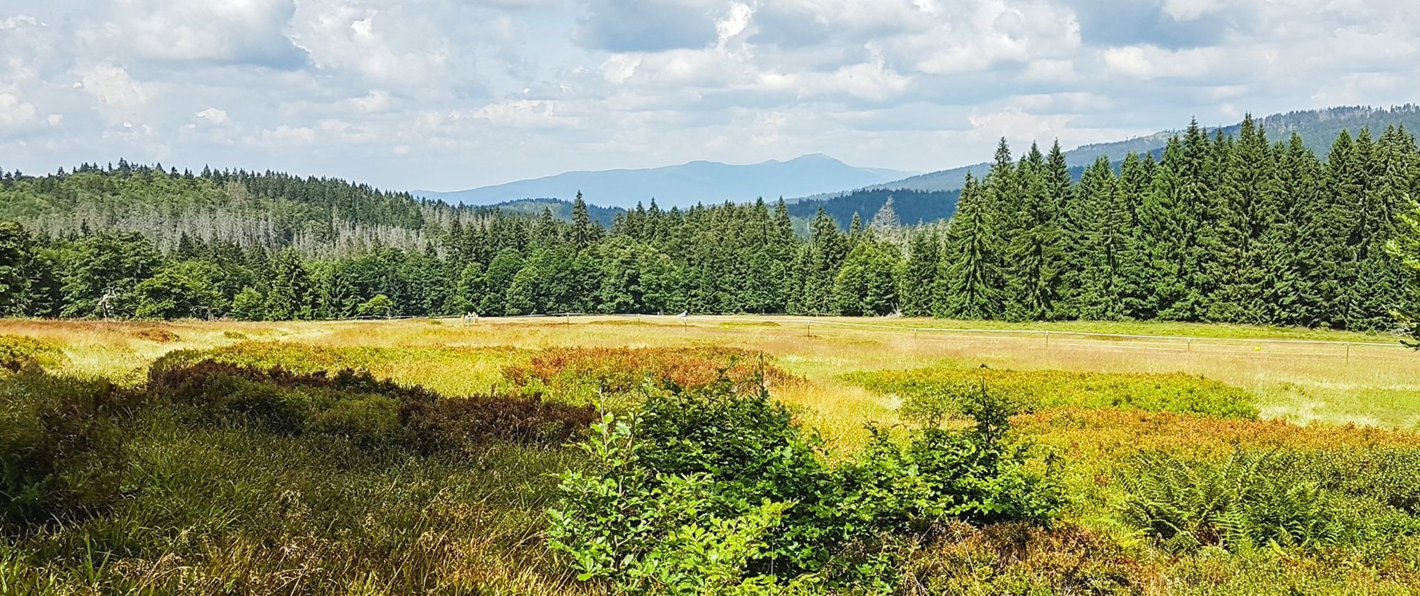
Let nature be nature – hiking in the Bavarian Forest
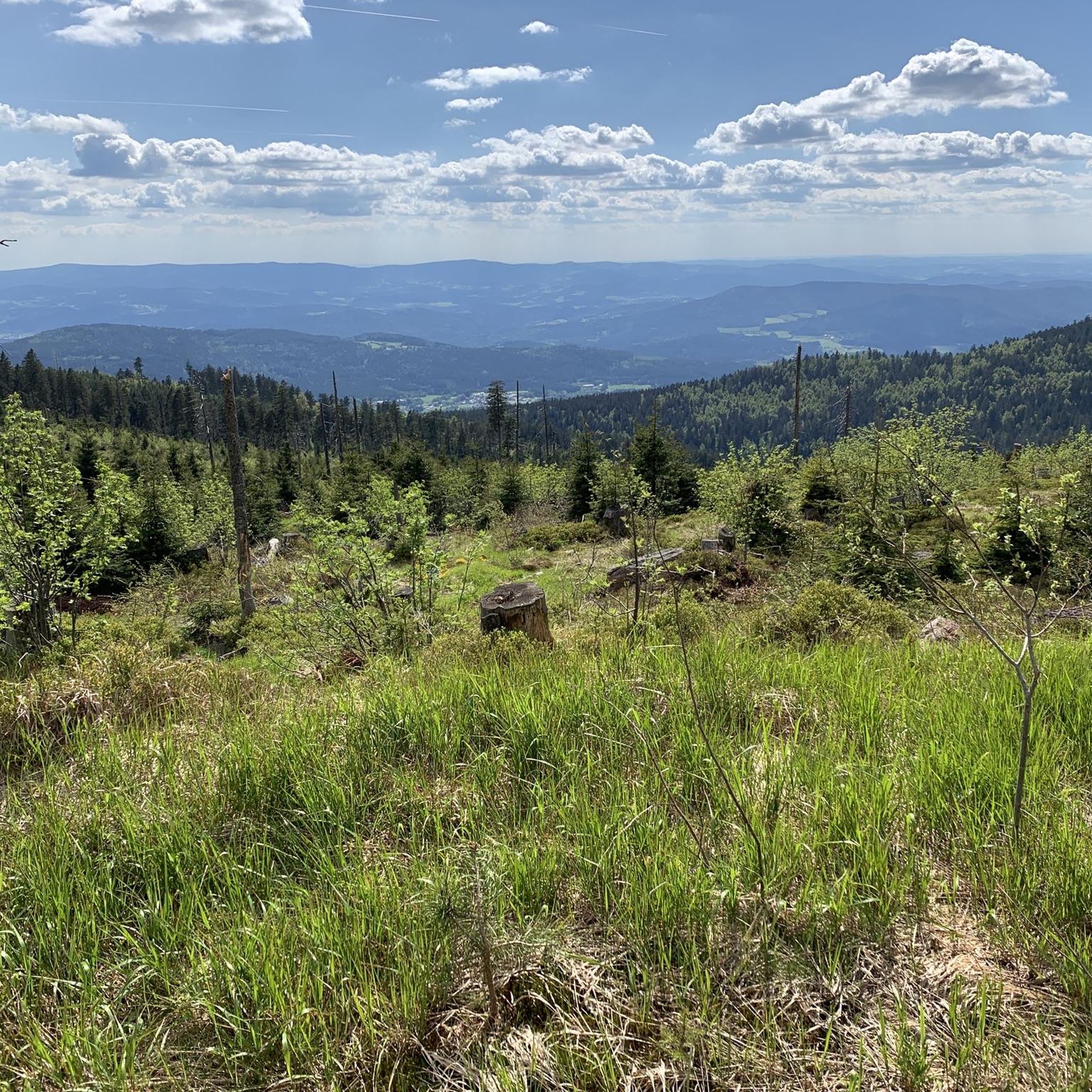
Hiking in Wildschutzgebiet Für Auerwild „Arber“
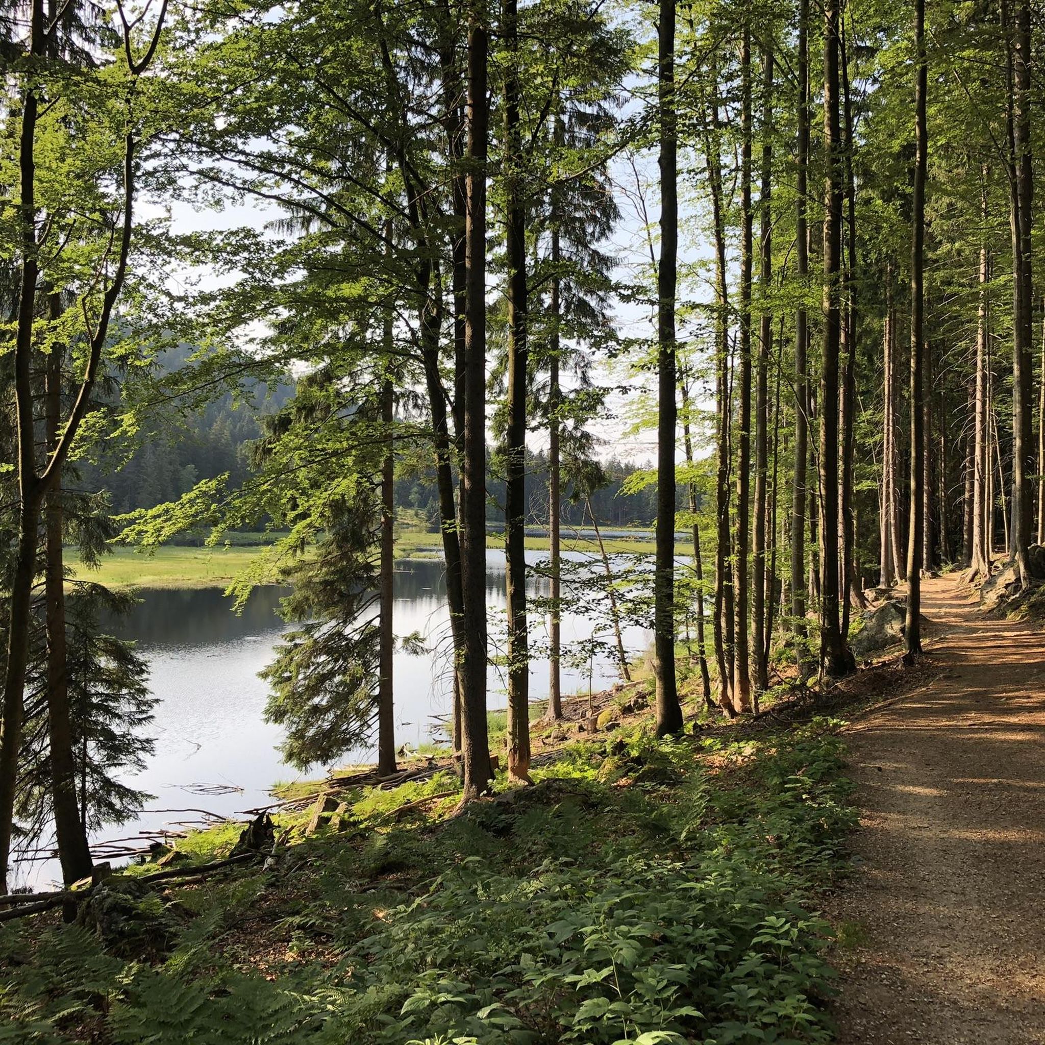
Running Trails in Wildschutzgebiet Für Auerwild „Arber“
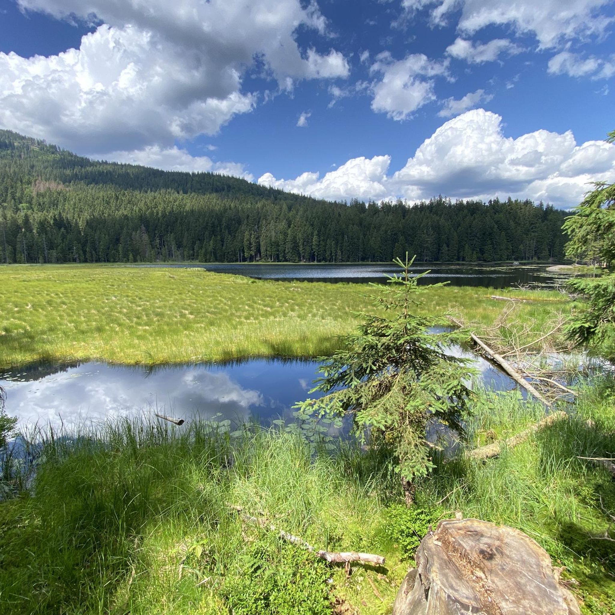
MTB Trails in Wildschutzgebiet Für Auerwild „Arber“
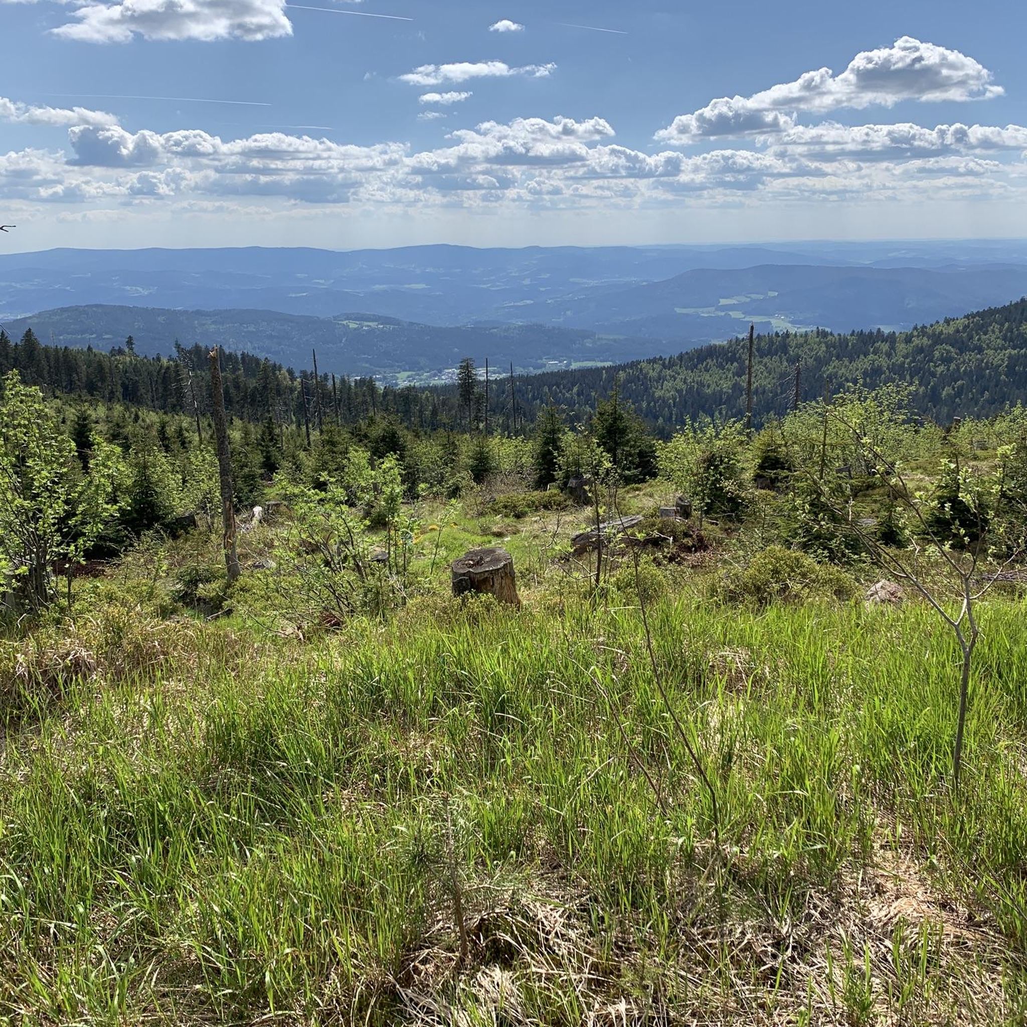
Road Cycling Routes in Wildschutzgebiet Für Auerwild „Arber“
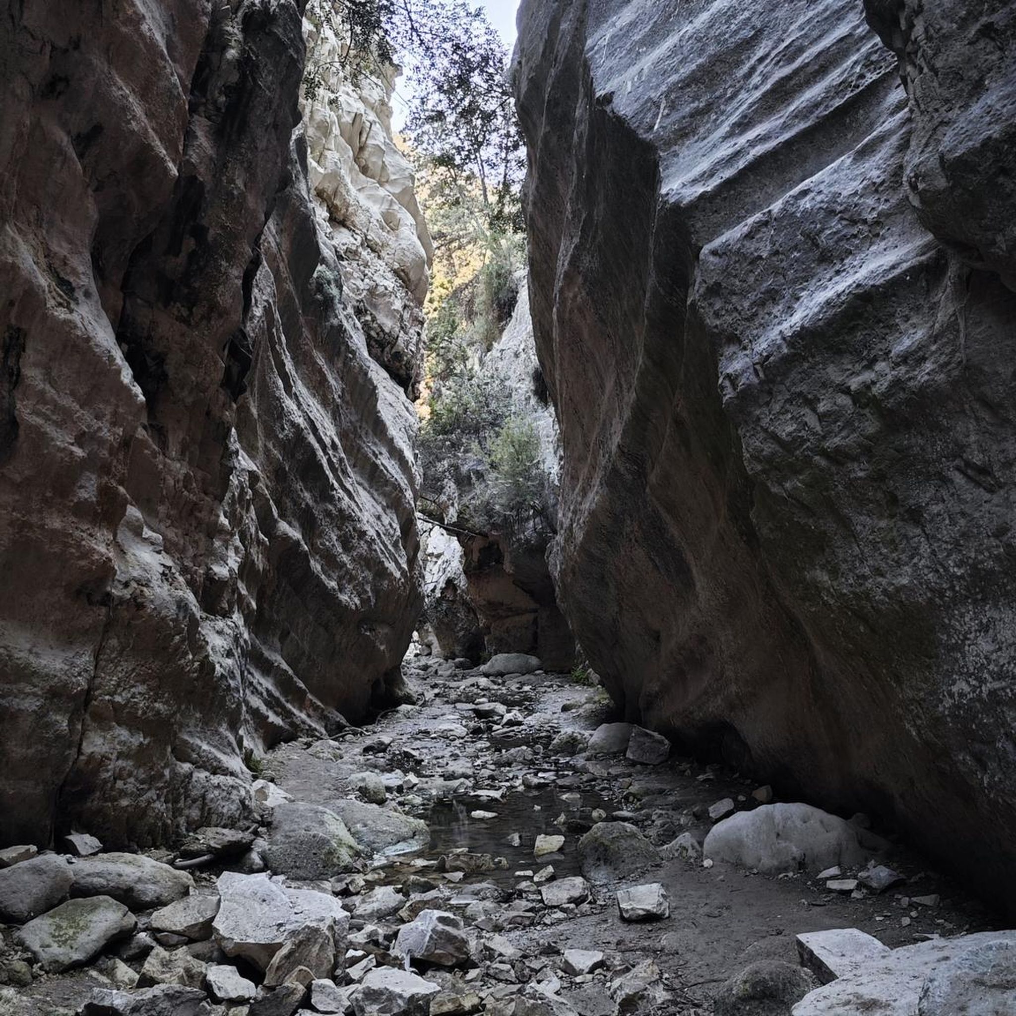
Mountain Hikes in Wildschutzgebiet Für Auerwild „Arber“
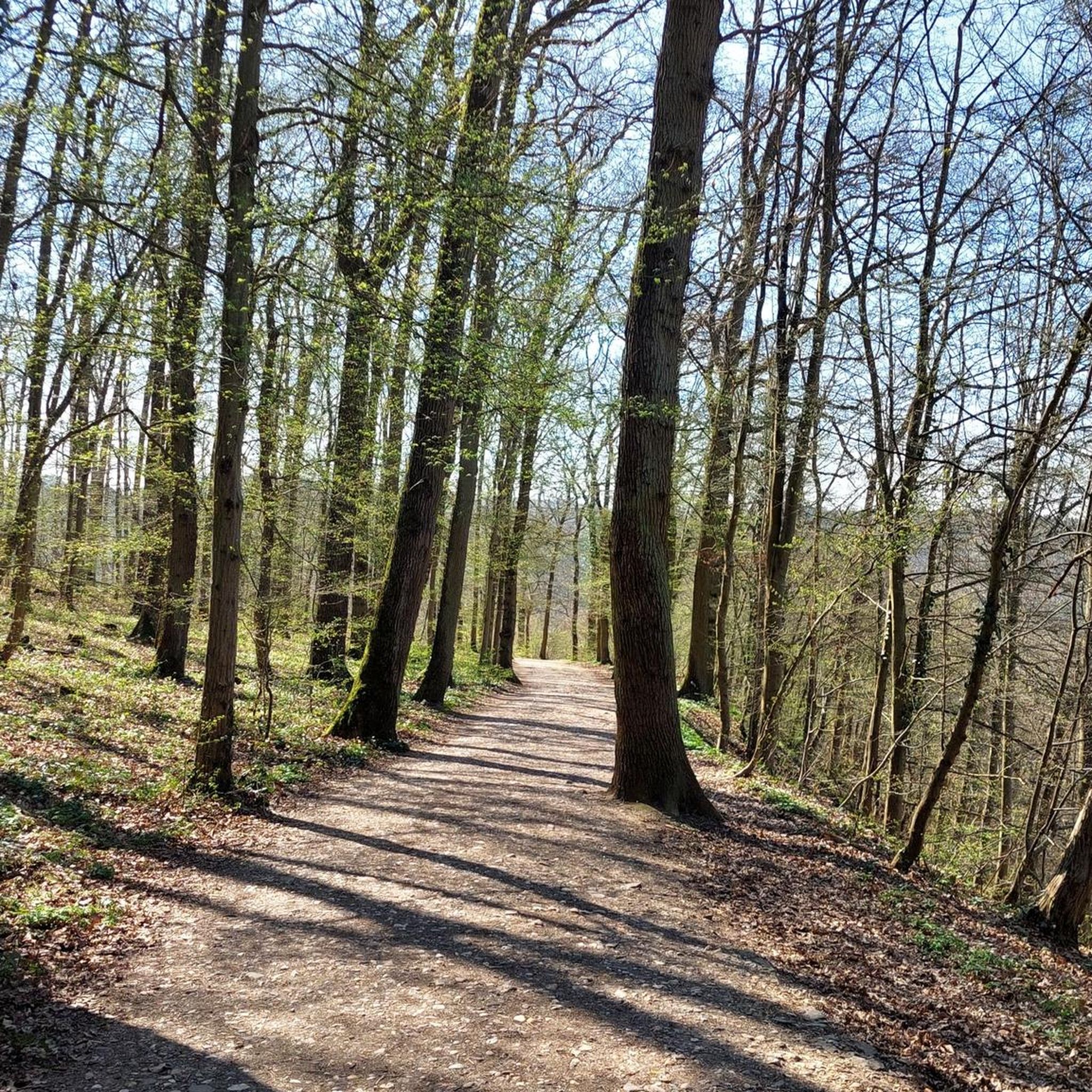
Gravel biking in Wildschutzgebiet Für Auerwild „Arber“
Other adventures in Wildschutzgebiet Für Auerwild „Arber“


Tips from the Community


The ARBER Hohenzollern Ski Stadium is one of the top venues for this type of sporting competition. The Hohenzollern Ski Stadium is a state-run ski performance center.
0
0
The ascent from the Großer Arbersee to the summit (approx. 7 km, over 600 meters in altitude) is a challenging mountain running route with a great panorama.
4
0

Right next to the mountain station and the toilets there, a chairlift bench is available.
1
0

Frequently Asked Questions
How many touring cycling routes are available in Wildschutzgebiet Für Auerwild „Arber“?
There are over 400 touring cycling routes in Wildschutzgebiet Für Auerwild „Arber“ recorded on komoot. These routes cater to various skill levels, with approximately 47 easy, 142 moderate, and 231 difficult options.
What is the terrain like for touring cyclists in the Arber region?
The terrain in Wildschutzgebiet Für Auerwild „Arber“ is characterized by forested mountain flanks and mixed forests, with significant elevation changes. You'll encounter hilly landscapes, and while many paths are mostly paved, some routes can be challenging, requiring good physical condition. The region features prominent peaks like the Großer Arber and Kleiner Arber, as well as glacial cirque lakes and river valleys.
Are there any family-friendly touring cycling routes in Wildschutzgebiet Für Auerwild „Arber“?
Yes, there are easy routes suitable for families. For instance, the View of Kleiner Arber – On the high stone plain loop from Schareben is an easy 9.9 km loop that takes you through scenic areas. When planning, look for routes marked as 'easy' on komoot to find the most suitable options for your family.
Can I bring my dog on touring cycling routes in the Arber region?
Yes, you can bring your dog, but it is crucial to keep them on a leash year-round throughout the Wildschutzgebiet Für Auerwild „Arber“ to protect the sensitive wildlife, especially the capercaillie. Adhering to marked paths is also important, particularly between November 1st and June 30th.
Are there any circular touring cycling routes in Wildschutzgebiet Für Auerwild „Arber“?
Many touring cycling routes in the region are designed as loops. An example is the challenging Bretterschachten (1,120 m) – View of Großer Arber loop from Bretterschachten, which offers views of the Großer Arber. Another option is the Great Arber Lake – Panoramic View from Großer Arber loop from Großer Arbersee, which features the Großer Arbersee and panoramic views.
What natural attractions can I see along the touring cycling routes?
The region boasts several natural highlights. You can cycle past the Großer Arbersee, a glacial cirque lake known for its unique floating islands. The routes also offer views of the Großer Arber, the highest peak in the Bavarian Forest, and the tranquil Schwarzer Regen river. While not directly on cycling paths, the picturesque Riesloch Gorge Waterfalls are a notable natural feature nearby.
Where can I find refreshments or accommodation along the routes?
Several huts and facilities offer refreshments and lodging. The Chamer Hütte on the Kleiner Arber and the Berghütte Schareben are popular spots. On the summit of the Großer Arber, the Arberschutzhaus provides food and accommodation, accessible via the Arber-Gondelbahn for non-cyclists or as a destination for challenging routes.
What do other touring cyclists enjoy most about the Arber region?
The area is highly rated by the komoot community, with an average score of 4.5 stars from over 3,200 reviews. Touring cyclists often praise the diverse landscapes, the challenging yet rewarding elevation changes, and the stunning views, especially from the Großer Arber. The variety of routes, from easy to difficult, also contributes to its popularity.
Are there any specific restrictions or rules for cycling in the wildlife sanctuary?
Yes, to protect the capercaillie, a highly sensitive bird species, it is crucial to adhere to marked paths between November 1st and June 30th. Disturbing these birds can be life-threatening for them. Additionally, dogs must be kept on a leash year-round.
Which touring cycling routes offer views of the Großer Arber?
Many routes provide stunning views of the Großer Arber. For example, the difficult View of Großer Arber – Arber West View loop from Silberberg is an 18.8 km route specifically designed for this. Another challenging option is the Great Arber Lake – Panoramic View from Großer Arber loop from Großer Arbersee, which includes panoramic views from the peak.
Are there routes that follow the Schwarzer Regen river?
Yes, some routes incorporate the tranquil flow of the Schwarzer Regen river. The challenging Deffernik Railway Bridge – Up close to the Großer Regen loop from Parkplatz Bretterschachten is a 31.2 km trail that leads through the Großer Regen river valley, offering a different scenic experience.
Most popular routes in Wildschutzgebiet Für Auerwild „Arber“
Most popular attractions in Wildschutzgebiet Für Auerwild „Arber“

Get inspired with the komoot mobile app


Explore more
Browse the best Cycling routes in other regions.
