The best MTB trails in Öberauer Donauschleife
4.4
(493)
1,690
riders
225
rides
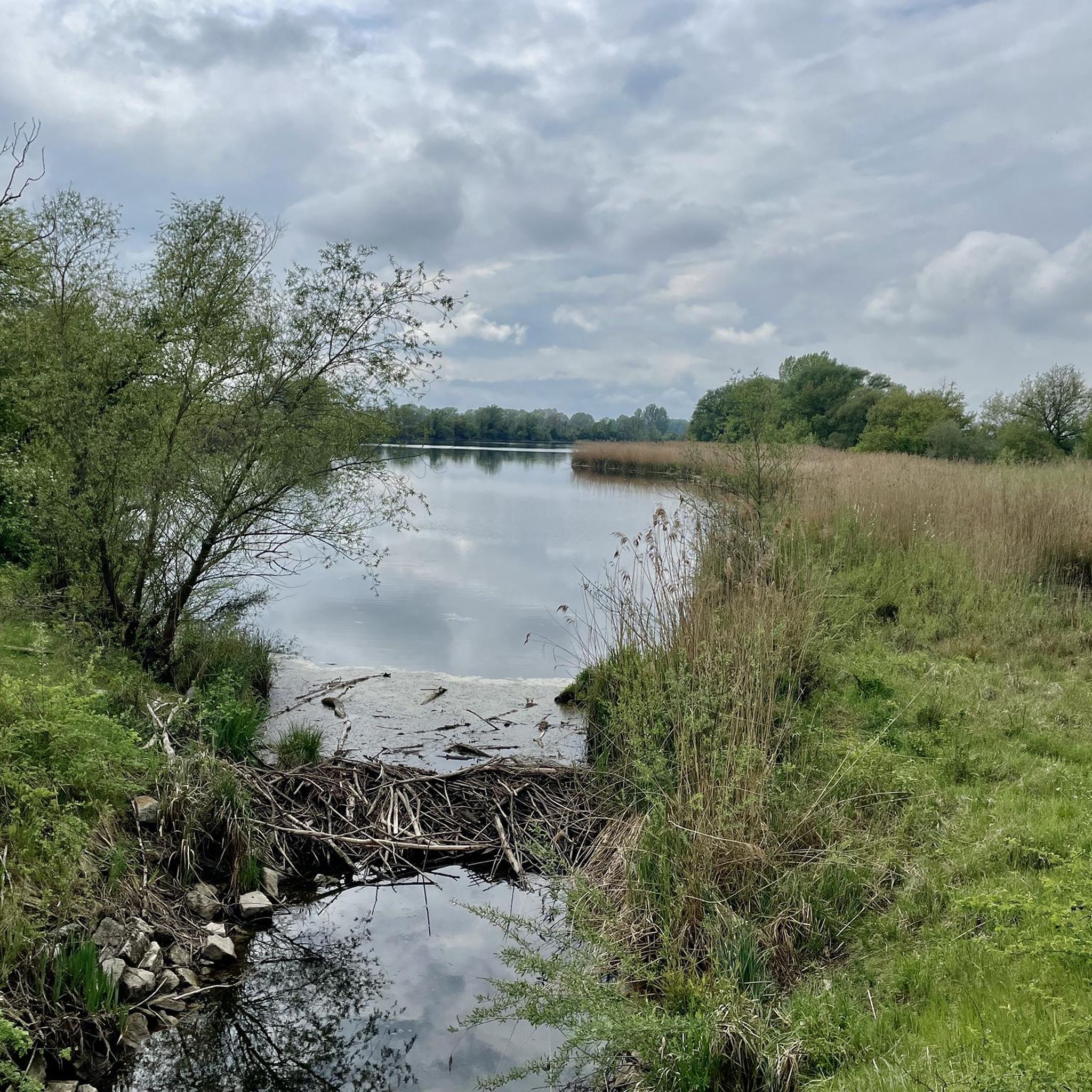
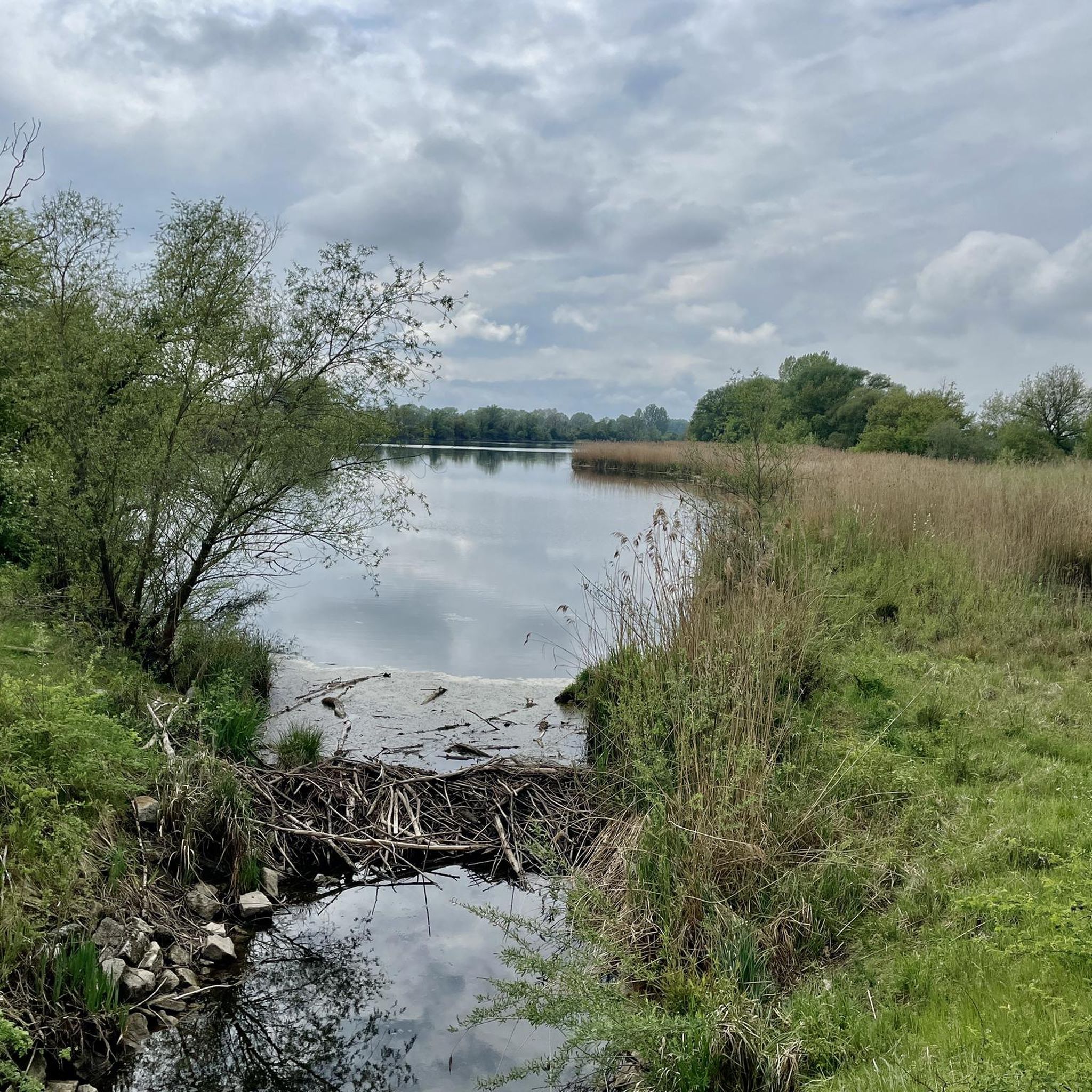
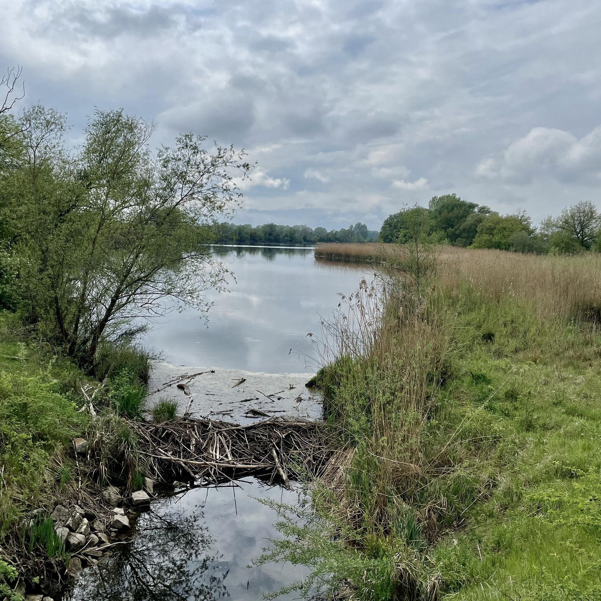
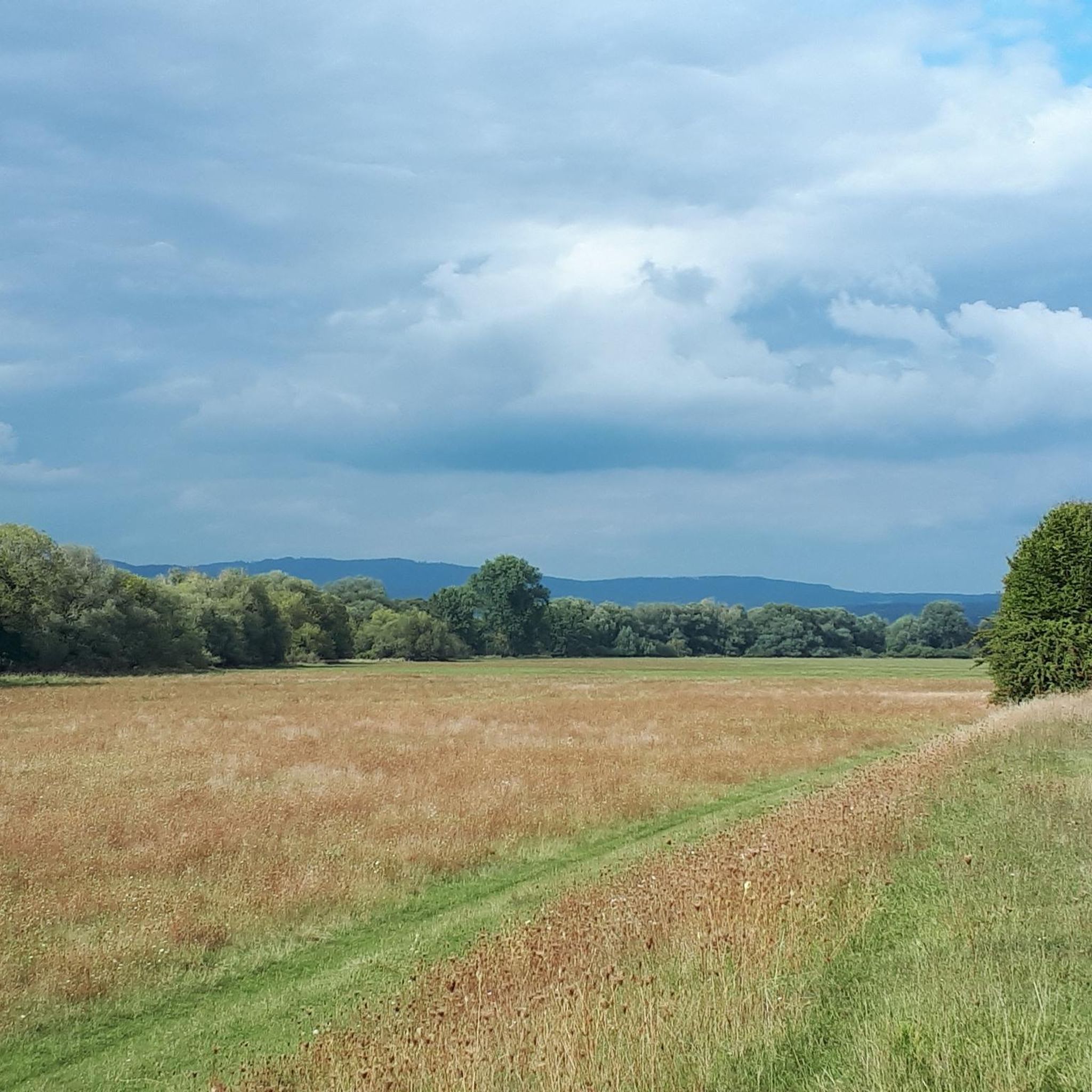
Mountain bike trails in Öberauer Donauschleife are primarily found within a unique Danube floodplain landscape, characterized by its tranquil oxbow lake. This region is designated as a nature reserve and Natura 2000 site, emphasizing its ecological significance. The terrain generally features minimal elevation changes, offering accessible paths suitable for various forms of cycling rather than technically challenging mountain biking. The area provides opportunities to explore wetlands and diverse natural habitats along the Danube.
Best mountain bike trails in Öberauer Donauschleife
…Last updated: October 7, 2026
4.3
(3)
5
riders
Moderate mountain bike ride. Good fitness required. Advanced riding skills necessary.
4.0
(1)
8
riders
Moderate mountain bike ride. Good fitness required. Suitable for all skill levels.

4.4
(7)
17
riders
Moderate mountain bike ride. Good fitness required. Advanced riding skills necessary.
4.1
(10)
17
riders
Moderate mountain bike ride. Good fitness required. Suitable for all skill levels.
4.0
(2)
12
riders
Moderate mountain bike ride. Good fitness required. Suitable for all skill levels.
Get access to more routes and recommendations from other explorers.
Already have an account?
Our route recommendations are based on thousands of hikes, rides, and runs completed by other people on komoot.
Start today with a free account
Your next adventure awaits.
Tips from the Community


Quiet and peaceful - if the frogs aren't croaking.
0
0

The Straubing Lock was built in 1993 as part of the Straubing Weir project to ensure the navigability of the Danube. The lock chamber is located at Danube kilometer 2322.02. With a chamber length of 264 m, it has a usable length of 230 m and a usable width of 24 m. The lock chamber is constructed of concrete and is closed at both the upper and lower gates by a double-leaf mitre gate. Each mitre gate weighs 83 t. The 14-meter-high and 12-meter-wide steel gates rest on a spherical bearing. The chamber is filled and emptied via bypass channels, each with two bypass gates at the upper and lower gates. The chamber fills in 20 minutes with a lock water volume of 44,000 m³. A lockage takes 25 minutes. The lock has a total capacity of 73,000 m³. [1] The level of the upper edge of the lock platform is 321.5 m above sea level (NN), and the level of the lower lock sill is 308.7 m above sea level (NN). For maintenance and repair work on the gates and closures, the lock is equipped with a gantry crane with a lifting capacity of 100 tons, which can be moved along the entire length of the lock. At the associated weir of the Straubing power plant, the design impoundment level is 320 m above sea level (NN). The water level of the lower lock basin is 313.75 m above sea level (NN) at mean water level (MTF) and 312.32 m above sea level (NN) at regulated low water level (RNW). The corresponding head is 6.25 meters at MTF and 7.68 meters at MTW. An information panel at the facility states the lock head as 6.21 m. The lock is remotely controlled from the WSV control center in Regensburg. This control center also remotely operates the Geisling, Regensburg, and Bad Abbach locks. Originally, the Straubing lock was operated from the lock tower on site. Immediately below the lower lock gate, the Kagers Bridge crosses the Alte Donau lock canal. The Danube's kilometer markers show a discrepancy of 7.9 kilometers at the Straubing lock. Therefore, both kilometer markers 2330 and 2322 are present at the lock basin. Source: https://de.wikipedia.org/wiki/Schleuse_Straubing
1
0

St. Ursula's Pilgrimage Church The small, simple Baroque building from the late 17th century stands on late Gothic foundations in its eastern part. The recessed choir has a single bay, a three-sided octagonal end, and a semi-dome with lunettes. The nave has four window axes, a simple west gallery, and a modern transverse room projecting to the north, dating from 1905. The tower rises in front of the south portal to the church's eaves, square in shape; on the upper floor, it is octagonal and has a pointed spire. The ceiling paintings were created in 1913, and the altars around 1910, with Gothic and Baroque elements. On the high altar is the miraculous image, a copy of the Altötting pilgrimage image. The figure originally dates back to the 17th century, but was stolen during the night of October 8-9, 1980. In the hope of being cured of a serious cancer, Mr. Josef Stöckl Jr. from Eggerszell carved a replica of the original and presented it to the Pilgramsberg residents. The Madonna was carried to the pilgrimage church by Mr. Stöckl on Easter Vigil 1982 and placed there. On consoles to the sides are the wooden figures of Joachim and Anne, the parents of the Mother of God, created around 1500. On the northern side altar is the late Gothic figural group of Anne Selbdritt, also created around 1500. In the central niche of the southern side altar is the figure of St. Wendelin from around 1680, kneeling before the Christ Child appearing in the clouds. On the choir arch to the south is the late Gothic figure of St. Ursula, created around 1460, with an arrow as an attribute. On the north wall of the transept is an early Rococo crucifix. Source: Pilgrimages in the Diocese of Regensburg by Hans J. Utz
2
0

You should walk the trail between the campsite and the Talmühle mill. This is the only way to enjoy nature. Riding bikes will disturb hikers, the untouched nature, and the wildlife. Crossing the stream is an absolute no-go. There are bridges for that. Please use your trails! Thank you.
0
0

Have fun or cross the bridge? What do you choose?
0
0

Beautiful viewpoint with shelter
0
0
Pilgrimage Church of St. John Called "St. John by the Oak", the first beginnings were probably a wayside cross or a small chapel as a resting place for the carters on the old road that led from Italy across the Danube to Bohemia. In 1664 it was mentioned as a small chapel with a portable altar that had been desecrated by the Swedes during the Thirty Years' War. The current church is an attractive baroque building from around 1721, very nicely situated next to a small property. The nave has three window axes and a flat ceiling. The slightly recessed choir of one bay closes off on three sides. Tuscan pilasters structure the entire room. The west gallery with a curved parapet is supported by two wooden columns. The west portal has a straight lintel. The square projecting west tower stands in the central axis; the top of its three floors has bevelled corners and a shingled onion dome. The portal vestibule has a cross vault. A beautiful frame stucco from the time the church was built has been applied to the nave ceiling. The high baroque altar dates from 1729, with two straight and two twisted columns, between them the altarpiece of the Baptism of Christ by John, created around 1670. In the elevator between volute pilasters is the image of the Immaculata, framed by acanthus carvings. The antependium has foliage carvings. The early baroque side altars were made in 1609 in the Windberg monastery and bought at auction for St. Johann in 1803. Two columns flank each shell niche. In the niches on the left are Mary with the child on a crescent moon, in the elevator St. Anne Selbdritt; on the right St. Sebastian, in the elevator St. Florian. The originals of the elevator figures were stolen in the 1960s. The confessional is a stylish baroque creation from the beginning of the 18th century. Major restorations took place in 1879, 1968 and 1985. The current organ comes from Haunkenzell and was installed in 2004. The roof structure and interior were completely restored from 2009 to 2011. Source: Extracts from information boards and pilgrimage churches in the diocese of Regensburg
3
0
Frequently Asked Questions
What kind of terrain can I expect when mountain biking in Öberauer Donauschleife?
The Öberauer Donauschleife is characterized by its unique Danube floodplain landscape, featuring a tranquil oxbow lake and generally flat terrain. While most paths have minimal elevation changes, making them suitable for touring or cross-country riding, some routes venture into areas with more varied topography, offering a blend of scenic river-side rides and more traditional mountain biking experiences with climbs and descents.
Are there mountain bike trails suitable for beginners in Öberauer Donauschleife?
Yes, the region offers a good selection of trails suitable for beginners. Out of over 240 routes, 89 are classified as easy, providing accessible paths with minimal elevation. An example of an easy route is the Straubing Lock – Straubing City Tower loop from Öberauer Donauschleife, which leads through the Danube floodplain.
What are some notable natural features or landmarks I can see along the mountain bike trails?
The Öberauer Donauschleife is a nature reserve known for its diverse Danube floodplain landscape, including the approximately 6-kilometer long oxbow lake. You can explore wetlands, various side waters, and diverse natural habitats. Some routes also pass by historical landmarks, such as the View of Falkenfels Castle or the Pilgrimage Church of St. John.
Can I bring my dog on the mountain bike trails in Öberauer Donauschleife?
As a designated nature reserve and Natura 2000 site, specific rules apply to protect the diverse wildlife, especially endangered waterfowl and meadow birds. While dogs are generally allowed, it's crucial to keep them on a leash at all times to avoid disturbing the local fauna and to respect the protected status of the area.
Are there any loop trails for mountain biking in the area?
Yes, many of the mountain bike trails in Öberauer Donauschleife are designed as loops, offering convenient starting and ending points. Examples include the View of Falkenfels Castle – Pilgrimage Trail Singletrack loop from Kößnach and the Trail 8: Rooty Fun at Büscherl – Neurother Stream Crossing loop from Kößnach.
What do other mountain bikers enjoy most about mountain biking in Öberauer Donauschleife?
The komoot community highly rates the mountain biking experience in Öberauer Donauschleife, with an average score of 4.5 stars from over 350 reviews. Riders often praise the tranquil oxbow lake scenery, the accessible paths through the Danube floodplain, and the diverse natural habitats that make for a scenic and enjoyable ride.
Are there any family-friendly mountain bike options in Öberauer Donauschleife?
Absolutely. The predominantly flat topography and numerous easy trails make Öberauer Donauschleife an excellent choice for family-friendly mountain biking. The minimal elevation changes ensure a less strenuous ride, allowing families to enjoy the scenic Danube floodplain and nature reserve together.
What is the best time of year to go mountain biking in Öberauer Donauschleife?
The Öberauer Donauschleife is enjoyable for mountain biking throughout the warmer months, from spring to autumn. Spring offers lush greenery and blooming flora, while autumn provides beautiful fall colors. Summer is also popular, but it's advisable to start earlier in the day to avoid the midday heat. Always check local weather conditions before heading out.
Where can I find parking for mountain biking in Öberauer Donauschleife?
While specific parking locations are not detailed for every route, the region is well-equipped for outdoor visitors. You can typically find designated parking areas near trailheads or in nearby towns like Kößnach or Öberauer Donauschleife itself. It's recommended to check the starting points of individual routes on komoot for more precise parking information.
Are there any more challenging mountain bike trails for experienced riders?
While the region is known for its flat terrain, there are some routes that offer more challenge. Out of over 240 trails, 10 are classified as difficult. These routes may feature more varied elevation, technical sections, or longer distances, providing a more demanding experience for advanced mountain bikers.
Can I reach Öberauer Donauschleife by public transport with my bike?
Public transport options to the Öberauer Donauschleife area are available, though bringing a bike might require checking specific train or bus line policies regarding bicycle transport. Major towns like Straubing, which is close to the Donauschleife, are typically well-connected. From there, you might find local buses or cycle paths leading directly into the nature reserve.
Most popular routes in Öberauer Donauschleife

Get inspired with the komoot mobile app


Explore more
Browse the best MTB trails in other regions.
