The best road cycling routes in Unterer Inn
4.6
(289)
5,583
riders
578
rides
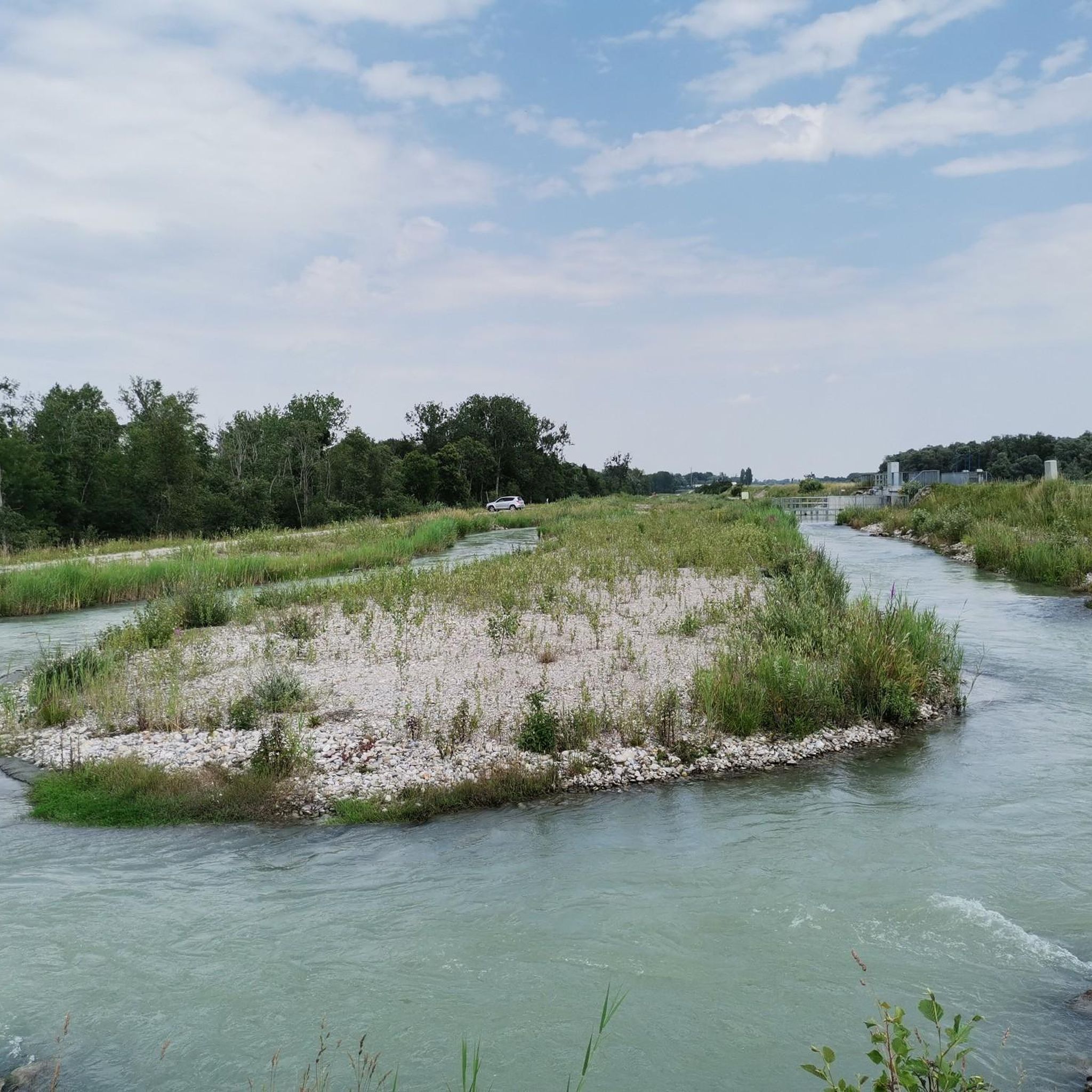
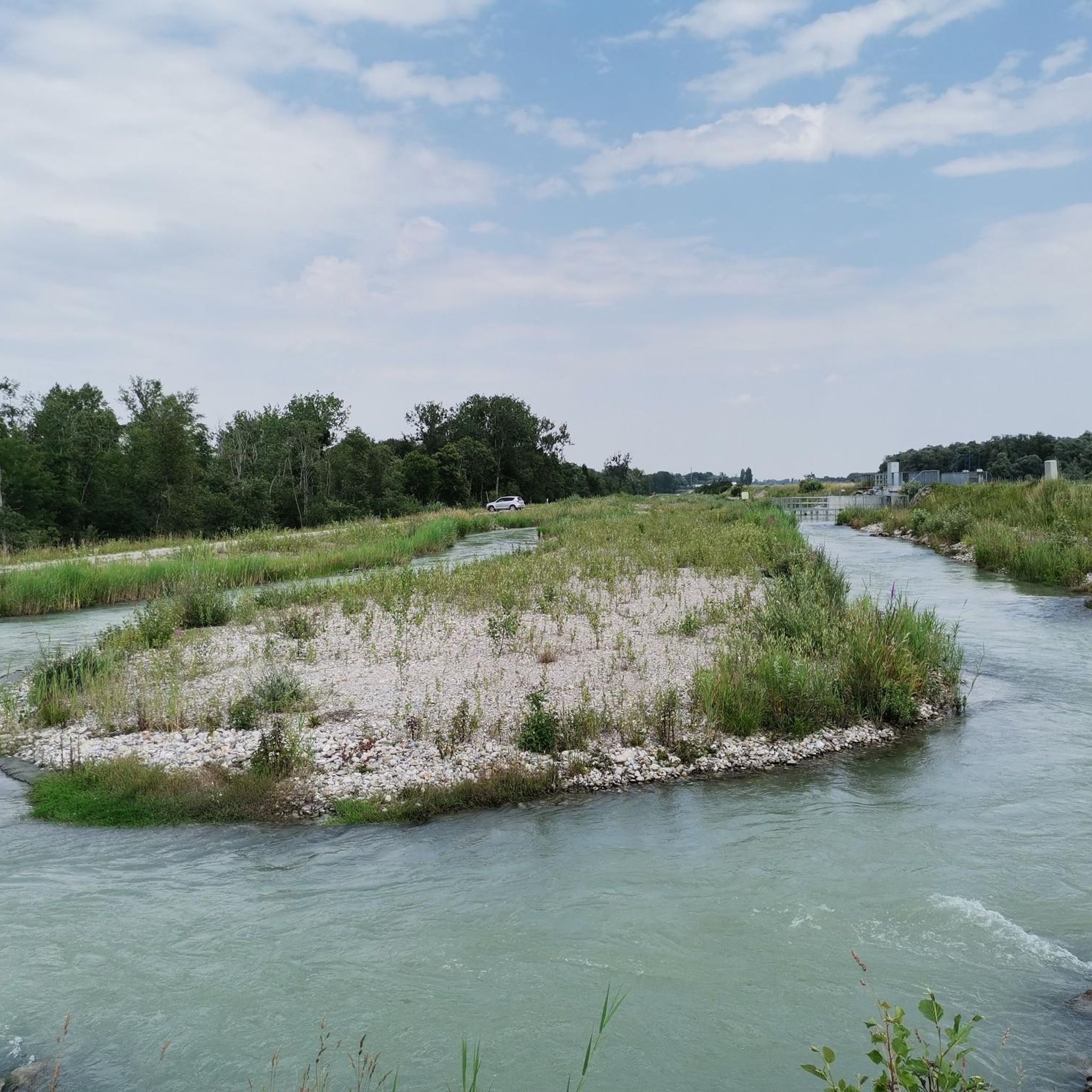
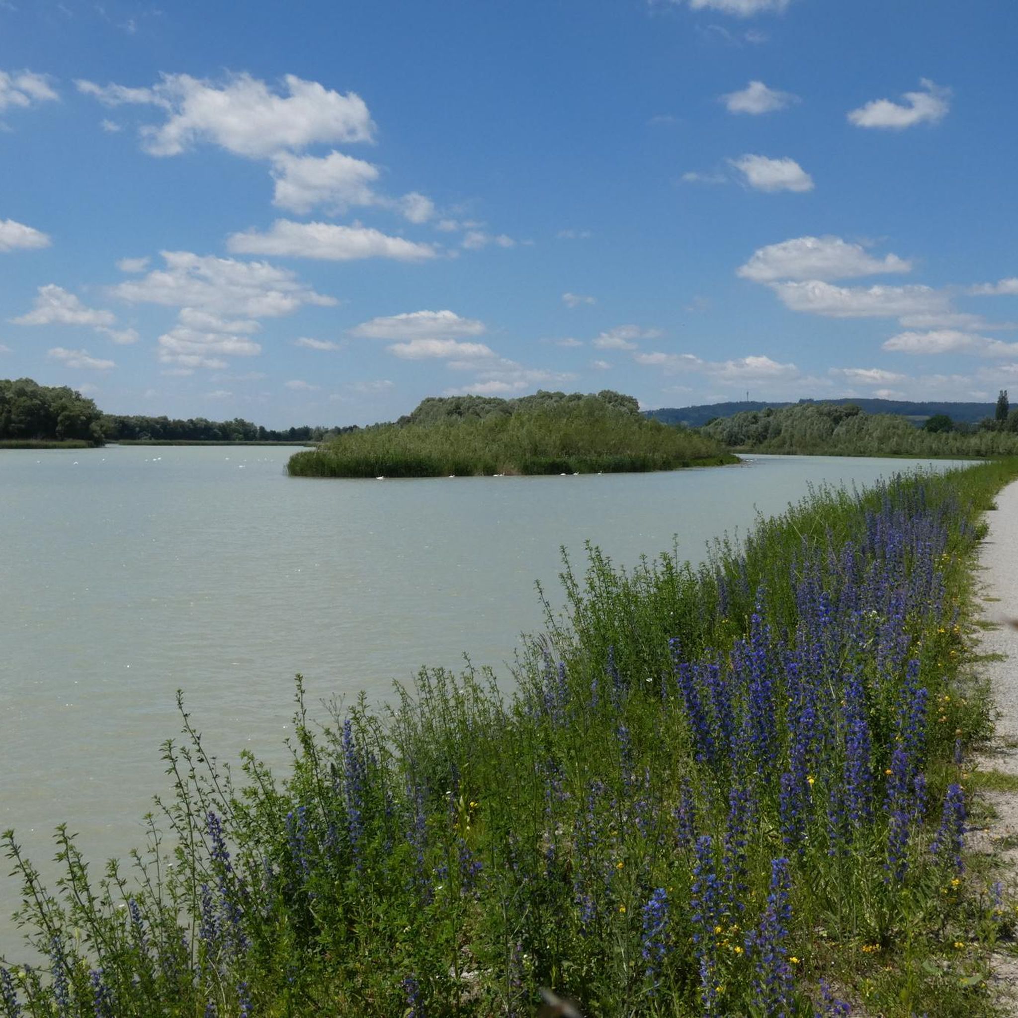
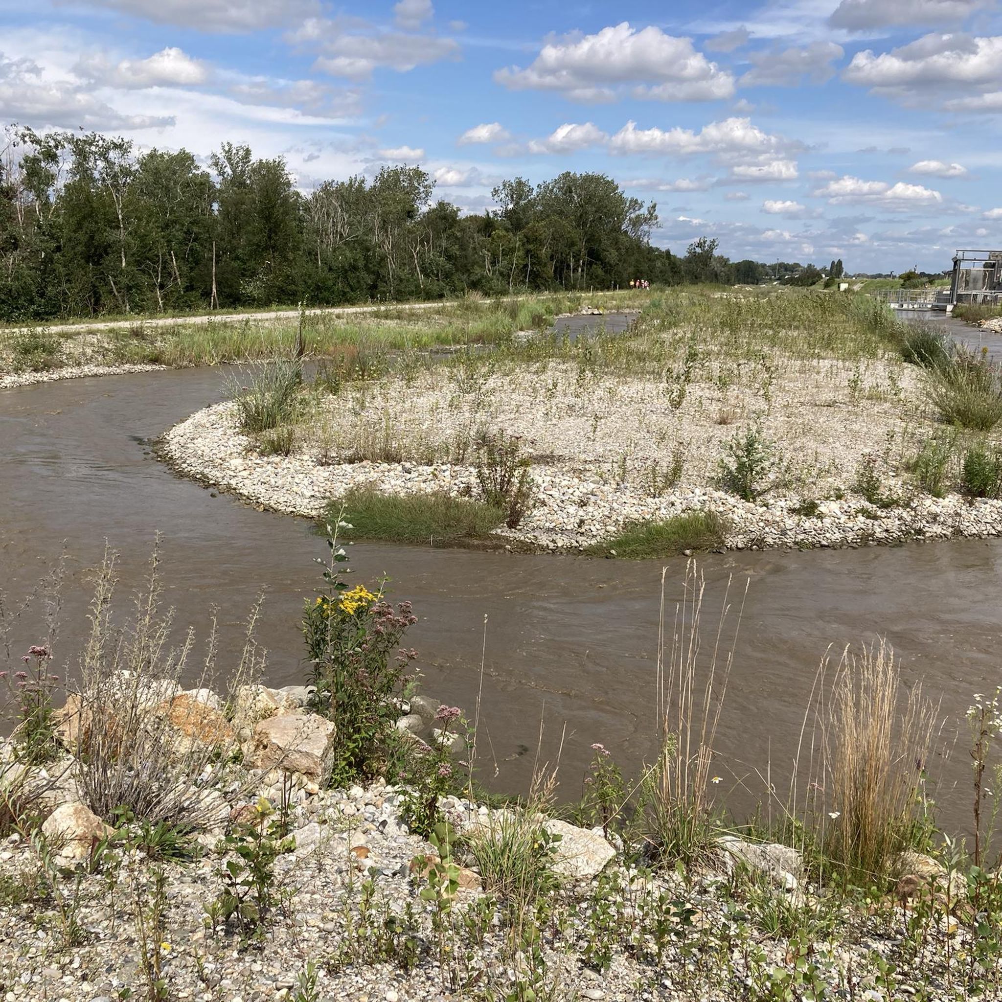
Road cycling in Unterer Inn is characterized by largely flat terrain along the Inn Cycle Path, which traverses the European Nature Reserve. The region features mostly paved surfaces, riparian forests, and wetlands, offering scenic views of the Inn River. While some sections may include unpaved stretches, many routes utilize quiet side roads and dedicated cycleways, making them suitable for various skill levels. The landscape includes gentle hills under 200m, providing a diverse yet accessible road cycling experience.
Best road cycling routes in Unterer Inn
- The most popular road cycling route is Obernberg am Inn Market Square – Reichersberg Abbey loop from Obernberg am Inn, a 33.9 miles (54.5 km) trail that takes 2 hours 27 minutes to complete. This route passes by the historic Reichersberg Abbey, known for its hospitality towards cyclists.
- Another top favourite among local road cyclists is Eglsee Birdwatching Tower – Matching Side Road loop from Obernberg am Inn, a moderate 33.1 miles (53.3 km) path. This route offers views of the European Nature Reserve, a vital area for birdwatching with observation points.
- Local road cyclists also love the Topsee loop from Braunau am Inn, a 28.4 miles (45.7 km) trail leading through varied landscapes with views of water areas, often completed in about 1 hour 58 minutes.
- Road cycling in Unterer Inn is defined by Inn River views, riparian forests, and accessible small side roads. The network offers options for different ability levels, from easy family-friendly rides to moderate routes.
- The routes in Unterer Inn are highly rated by the komoot community with an average score of 4.6 stars from over 275 reviews. More than 5000 road cyclists have used komoot to explore Unterer Inn's varied terrain.
Last updated: July 4, 2026
4.5
(2)
52
riders
54.5km
02:27
340m
340m
Moderate road ride. Good fitness required. Some segments of this route may be unpaved and difficult to ride.
5.0
(1)
60
riders
53.4km
02:10
180m
170m
Moderate road ride. Good fitness required. Some segments of this route may be unpaved and difficult to ride.

Sign up for free
4.7
(3)
47
riders
49.3km
02:13
250m
250m
Moderate road ride. Good fitness required. Mostly well-paved surfaces and easy to ride.
4.5
(2)
35
riders
42.4km
01:54
330m
330m
Moderate road ride. Good fitness required. Mostly well-paved surfaces and easy to ride.
5.0
(1)
39
riders
74.6km
03:09
400m
400m
Moderate road ride. Good fitness required. Mostly well-paved surfaces and easy to ride.
Get access to more routes and recommendations from other explorers.
Sign up for free
Already have an account?
Our route recommendations are based on thousands of hikes, rides, and runs completed by other people on komoot.
Start today with a free account
Your next adventure awaits.
Login or Signup

Tips from the Community

Ried is situated in the heart of the Innviertel hill country, in a depression of the Alpine foothills north of the Hausruck Forest. The town's name derives from the Middle High German word "Riet" (also: "Rieth," "Reet," "Rohr," and similar terms), meaning reeds growing on riverbanks and marshy ground. A spot where the gradient of the two rivers, Oberach and Breitsach, slowed and saturated the soil gave the town its name. The two rivers converge north of the old town to form the Rieder Bach, a stream that flows for 2.6 kilometers before emptying into the Antiesen River outside the town limits. Ried im Innkreis lies at an altitude of 433 meters. It extends 3.2 kilometers from north to south and 3.6 kilometers from west to east, covering a total area of 6.7 square kilometers.
3
0
Originally a 15th-century Gothic church, the nave was demolished in 1720 and replaced with a new Baroque structure. At the same time, the chancel was also redesigned in the Baroque style. The tower was heightened in 1731/32, its upper section was altered in 1868, and a new spire was added in 1930.
2
0

The Roman Catholic parish church of Saints Peter and Paul.
0
0
The parish church of Kirchdorf am Inn is located in the municipality of Kirchdorf am Inn in Upper Austria. It is the Roman Catholic parish church of the Assumption of Mary.
0
0

It is currently being renovated
0
0
An impressive church with its many chapels
0
0

The Parish Church of St. Peter and Paul is a Baroque church with Gothic roots, built from 1721 onward. It impresses with its ornate furnishings, including works by the famous Schwanthaler family. Its 73-meter-high tower and large organ make it a cultural and spiritual center of the city.
10
0

impressive building, an open eye recognizes the purpose.
0
0
Frequently Asked Questions
What is the general terrain like for road cycling in Unterer Inn?
Road cycling in Unterer Inn is primarily characterized by largely flat terrain, especially along the Inn Cycle Path. While generally easy, some routes may include gentle hills under 200m, offering a diverse yet accessible experience. The paths are mostly paved, utilizing quiet side roads and dedicated cycleways, though some sections might have unpaved stretches.
How many road cycling routes are available in Unterer Inn?
There are over 600 road cycling routes available in Unterer Inn, catering to various skill levels. This includes 125 easy routes, 428 moderate routes, and 52 more challenging options.
What natural features and landmarks can I expect to see while cycling in Unterer Inn?
The region is rich in natural beauty and historical sites. You'll cycle through the Europareservat Unterer Inn, an internationally significant wetland area known for its floodplains, mudflats, and riparian forests. Keep an eye out for diverse bird species, as it's a renowned bird paradise. Notable highlights include the Eglsee Bird-Watching Tower, the Fish Ladder Ering, and the Ering–Frauenstein Hydroelectric Power Plant. You can also enjoy views of the Inn River and its dammed sections.
Are there any family-friendly road cycling routes in the region?
Yes, Unterer Inn offers several family-friendly road cycling routes, thanks to its predominantly flat terrain and dedicated cycle paths. Many routes utilize the Inn Cycle Path, which is well-maintained and suitable for various ages and skill levels. Look for routes designated as 'easy' for the most relaxed experience.
Can I find circular road cycling routes in Unterer Inn?
Yes, many road cycling routes in Unterer Inn are designed as loops, allowing you to start and end at the same point. An example is the Obernberg am Inn Market Square – Reichersberg Abbey loop from Obernberg am Inn, which is a moderate 33.9-mile (54.5 km) route passing by the historic Reichersberg Abbey.
What is the best time of year to go road cycling in Unterer Inn?
The best time for road cycling in Unterer Inn is generally from spring through autumn. During these seasons, the weather is mild, and the natural landscapes of the Europareservat are vibrant. Spring and early summer are particularly good for birdwatching, while autumn offers pleasant temperatures and scenic foliage.
Are there options for parking near the road cycling routes?
Yes, many towns and villages along the Inn River, such as Obernberg am Inn and Braunau am Inn, offer parking facilities that are convenient for accessing the cycling routes. As the Inn Cycle Path runs through many populated areas, you'll often find designated parking spots near trailheads or town centers.
Is public transport accessible for cyclists in Unterer Inn?
The Unterer Inn region is generally well-connected, and public transport options like regional trains and buses often accommodate bicycles, especially along the Inn Cycle Path. It's advisable to check specific schedules and bicycle transport policies with local operators before planning your trip, particularly for longer journeys or during peak times.
What do other cyclists say about road cycling in Unterer Inn?
The road cycling routes in Unterer Inn are highly rated by the komoot community, with an average score of 4.6 stars from over 275 reviews. Cyclists often praise the scenic views of the Inn River, the peaceful atmosphere of the riparian forests, and the accessibility of the small side roads and dedicated cycleways.
Are there any routes that offer good birdwatching opportunities?
Absolutely. The Europareservat Unterer Inn is a renowned bird paradise. Routes like the Aigen am Inn town center – Eglsee Bird-Watching Tower loop from Obernberg am Inn offer direct views of the nature reserve and observation points like the Eglsee Bird-Watching Tower, where you can spot over 300 bird species.
Can I combine road cycling with exploring local towns and historical sites?
Yes, the Inn Cycle Path leads through charming towns and past historical sites. You can explore places like Mühldorf am Inn and Burghausen, known for its architecture and the world's longest castle. The Topsee loop from Braunau am Inn is an easy route that takes you through varied landscapes, often near water areas and local points of interest.
Most popular routes in Unterer Inn
Most popular attractions in Unterer Inn

Get inspired with the komoot mobile app


Explore more
Browse the best Road cycling routes in other regions.
