The best walks and hikes in Donauleiten Von Passau Bis Jochenstein
4.6
(9379)
40,678
hikers
26
hikes
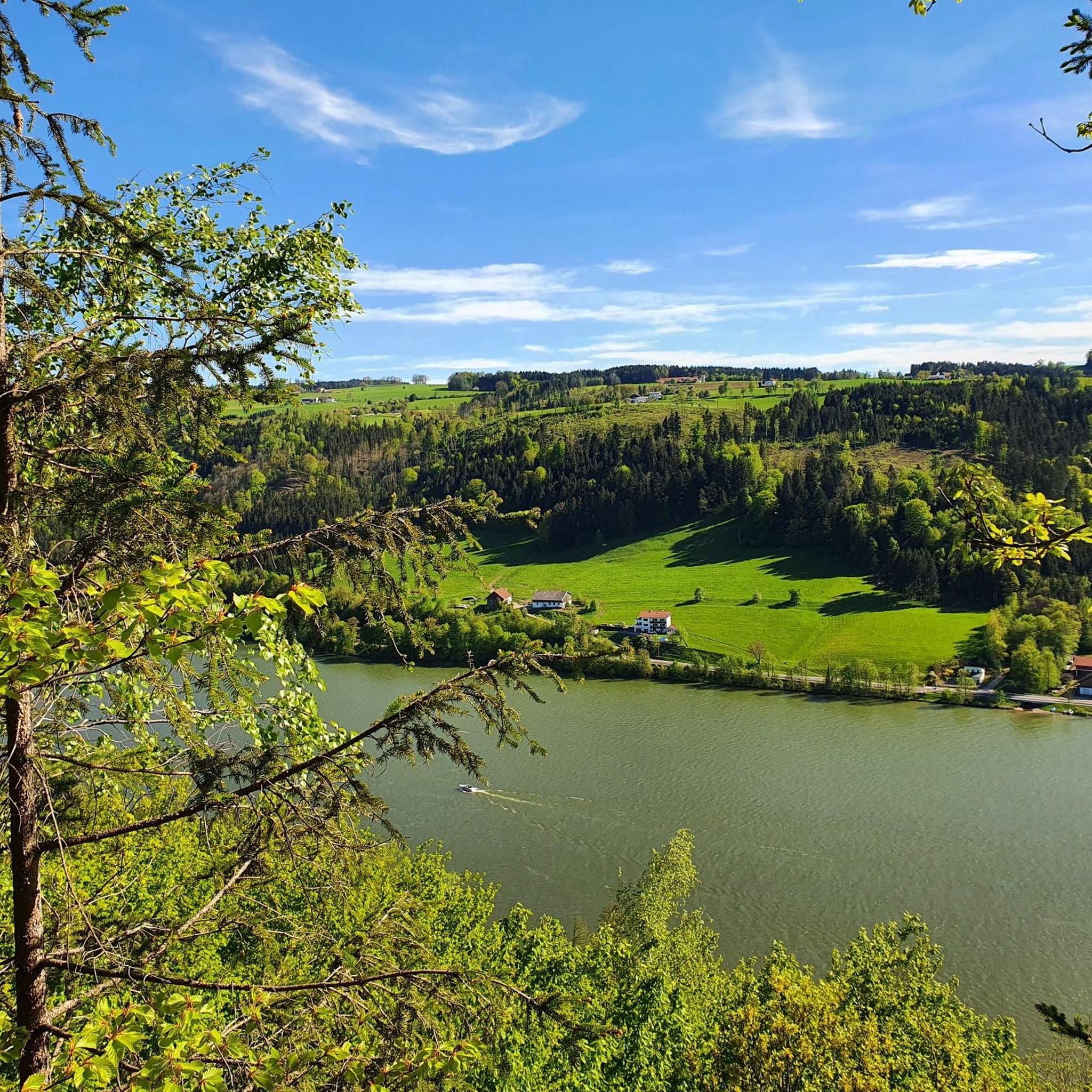
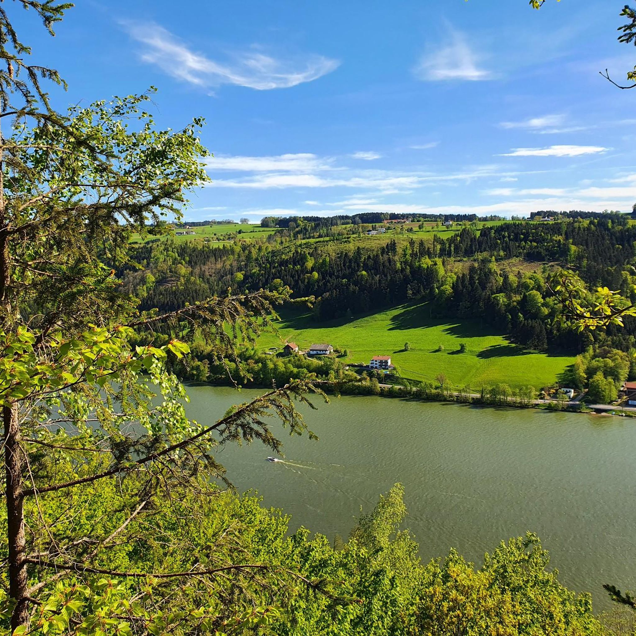
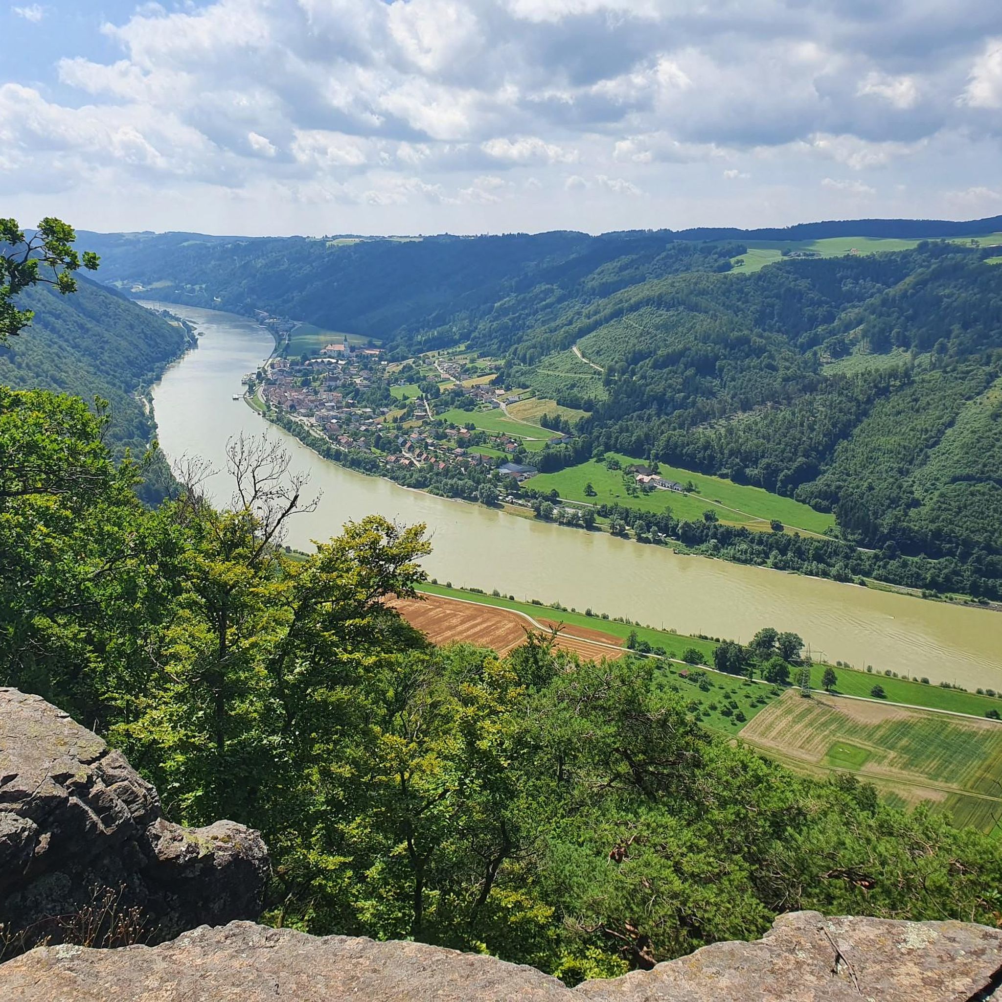
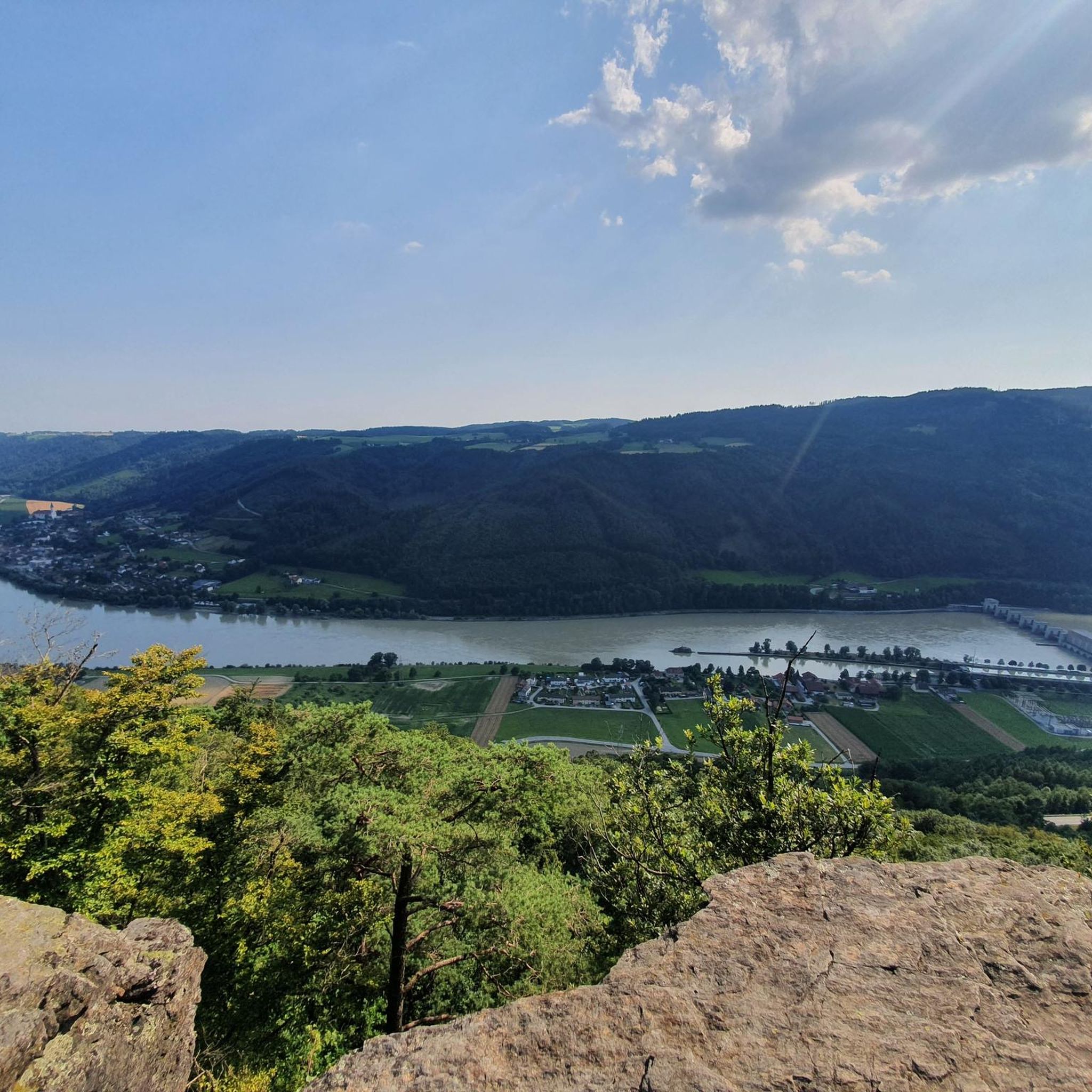
Hiking in Donauleiten Von Passau Bis Jochenstein offers a diverse landscape along the Danube River, characterized by idyllic forests, rolling hills, and impressive views. This nature reserve features steep, south-facing slopes with heat-loving oak and beech forests, alongside open rock faces and scree areas. Side valleys introduce gorge and wet forests, contributing to the ecological diversity of the region. The area is part of the Bavarian-Austrian Danube Valley, where the hills of the southern Bavarian Forest rise above the river.
…Last updated: June 27, 2026
4.7
(33)
115
hikers
Moderate hike. Good fitness required. Mostly accessible paths. Sure-footedness required.
4.6
(27)
96
hikers
Moderate hike. Good fitness required. Mostly accessible paths. Sure-footedness required.

Sign up for free
4.7
(15)
49
hikers
Moderate hike. Good fitness required. Mostly accessible paths. Sure-footedness required.
5.0
(13)
28
hikers
14.1km
04:03
350m
350m
Moderate hike. Good fitness required. Easily-accessible paths. Suitable for all skill levels.
5.0
(6)
26
hikers
13.6km
03:49
270m
270m
Moderate hike. Good fitness required. Easily-accessible paths. Suitable for all skill levels.
Get access to more routes and recommendations from other explorers.
Sign up for free
Already have an account?
Our route recommendations are based on thousands of hikes, rides, and runs completed by other people on komoot.
Start today with a free account
Your next adventure awaits.
Login or Signup
Popular around Donauleiten Von Passau Bis Jochenstein
Cycling in Donauleiten Von Passau Bis Jochenstein
Road Cycling Routes in Donauleiten Von Passau Bis Jochenstein
Running Trails in Donauleiten Von Passau Bis Jochenstein
MTB Trails in Donauleiten Von Passau Bis Jochenstein

Gravel biking in Donauleiten Von Passau Bis Jochenstein

Mountain Hikes in Donauleiten Von Passau Bis Jochenstein
Tips from the Community

a small hiking parking lot in Untergriesbach
0
0
small and sweetly built, so beautiful on the southern bypass in Untergriesbach
0
0

Bench with a view near Penzenstein overlooking the Danube valley.
0
0
old castle ruins of Jochenstein
0
0
beautiful little chapel at Ebenstein
0
0
The village church of Gottsdorf
0
0

800 years old. Unfortunately, only this defensive tower remains.
0
0

Attention: ID checks from now on 😜
2
0
Frequently Asked Questions
How many hiking trails are available in Donauleiten Von Passau Bis Jochenstein?
There are over 25 hiking routes in the Donauleiten Von Passau Bis Jochenstein region, catering to various preferences. You'll find a mix of easy and moderate trails, with 12 easy and 15 moderate options available.
What kind of terrain can I expect on the hiking trails?
The Donauleiten region offers diverse terrain, from idyllic forests and gentle hills to steep, south-facing slopes with oak and beech forests. You'll also encounter open rock faces, scree areas, and side valleys with gorge and wet forests. Many trails provide impressive views of the Danube River and the surrounding Bavarian Forest.
Are there any circular walks in Donauleiten Von Passau Bis Jochenstein?
Yes, many trails in the region are circular, allowing you to start and end at the same point. For example, the Ebenstein Chapel – Ruins of Neujochenstein Castle loop from Kraftwerk Jochenstein is a popular moderate circular hike, and the Nixe Isa Statue at Jochenstein – View of Jochenstein loop from Kraftwerk Jochenstein offers a shorter loop through forested areas.
What are some notable landmarks or attractions to see while hiking?
The region is rich in natural and historical attractions. You can visit the Nixe Isa statue on the Danube, explore the Ruins of Neujochenstein Castle, or enjoy the View from Ebenstein Rock across the Danube Valley. The area is also part of the Donauleiten Nature Reserve itself, offering unique biodiversity.
When is the best time of year to go hiking in Donauleiten?
The Donauleiten hills are ideal for hiking year-round, but the slopes are particularly vibrant and beautiful in spring and autumn. These seasons offer pleasant temperatures and stunning natural colors, enhancing the hiking experience.
Can I bring my dog on the hiking trails?
While specific dog-friendly regulations vary by trail, generally, dogs are welcome on many hiking paths in the Donauleiten region. It's always recommended to keep your dog on a leash, especially within the nature reserve, to protect local wildlife and ensure a pleasant experience for all hikers.
Are there any family-friendly hiking options?
Yes, the Donauleiten offers trails suitable for families. Many riverside promenades are easy and provide a gentle experience. While specific 'easy' routes aren't detailed in the data, the overall network includes options for different ability levels, making it possible to find suitable paths for families.
What kind of wildlife might I encounter in the Donauleiten Nature Reserve?
As a designated nature reserve, Donauleiten is a haven for biodiversity. You might spot various reptile species like the Eastern emerald lizard or sand lizard, and birds such as the eagle owl. The area also supports numerous amphibian, insect, and mollusk species, making it a rich environment for nature observation.
Are there any trails that feature waterfalls?
Yes, there is a route that includes a waterfall. Consider the Devil's Hole Waterfall – Floriani Chapel loop from Vichtenstein, a moderate hike that takes you past this natural feature.
What do other hikers say about the trails in Donauleiten Von Passau Bis Jochenstein?
The hiking routes in Donauleiten Von Passau Bis Jochenstein are highly rated by the komoot community, with an average score of 4.5 stars from over 2600 reviews. Hikers often praise the diverse landscapes, impressive views of the Danube, and the well-maintained paths that cater to various skill levels.
Is parking available near the trailheads?
While specific parking locations are not detailed for every trailhead, areas like Kraftwerk Jochenstein, which serves as a starting point for several popular routes, typically offer parking facilities for hikers. It's advisable to check local signage upon arrival.
Are there any long-distance hiking opportunities in the region?
Yes, the Donauleiten region forms part of the long-distance Donausteig hiking trail. This extensive trail spans 450 kilometers with 23 stages and 49 loops, connecting Passau to Grein, offering options for multi-day treks or longer sections within the Donauleiten area.
Most popular routes in Donauleiten Von Passau Bis Jochenstein
Most popular attractions in Donauleiten Von Passau Bis Jochenstein

Get inspired with the komoot mobile app


Explore more
Browse the best Hikes in other regions.
