The best road cycling routes in Leutstettener Moos
4.6
(710)
11,302
riders
175
rides
Road cycling routes in Leutstettener Moos traverse a natural park characterized by its gentle, rolling terrain and proximity to Lake Starnberg. The landscape features a mix of open fields, wooded sections, and quiet country roads, providing varied scenery for cyclists. Elevations are generally moderate, making the area accessible for different fitness levels. The region offers a network of paths suitable for exploring the local environment on a road bike.
Best road cycling routes in Leutstettener Moos
- The most popular road…
Last updated: July 4, 2026
4.2
(6)
60
riders
Moderate road ride. Good fitness required. Some segments of this route may be unpaved and difficult to ride.
4.8
(5)
88
riders
Moderate road ride. Good fitness required. Mostly well-paved surfaces and easy to ride.

Sign up for free
4.0
(3)
57
riders
Moderate road ride. Good fitness required. Some segments of this route may be unpaved and difficult to ride.
4.5
(6)
33
riders
Easy road ride. Great for any fitness level. Mostly well-paved surfaces and easy to ride.
22
riders
Moderate road ride. Good fitness required. Mostly well-paved surfaces and easy to ride.
Get access to more routes and recommendations from other explorers.
Sign up for free
Already have an account?
Our route recommendations are based on thousands of hikes, rides, and runs completed by other people on komoot.
Start today with a free account
Your next adventure awaits.
Login or Signup
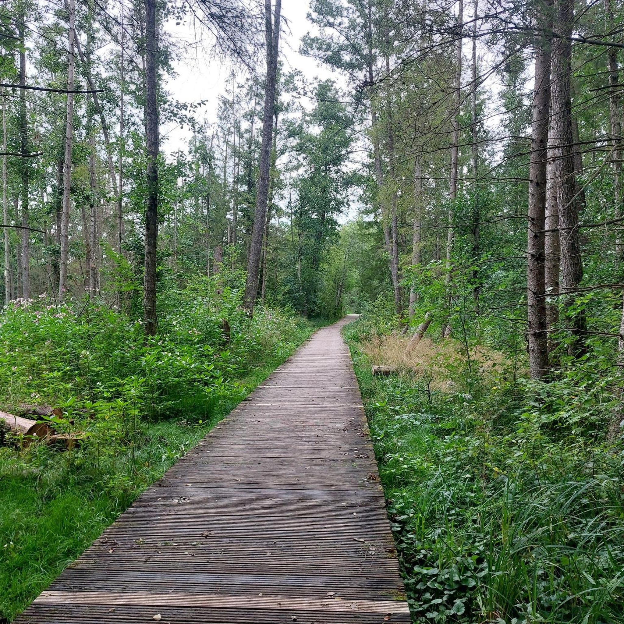
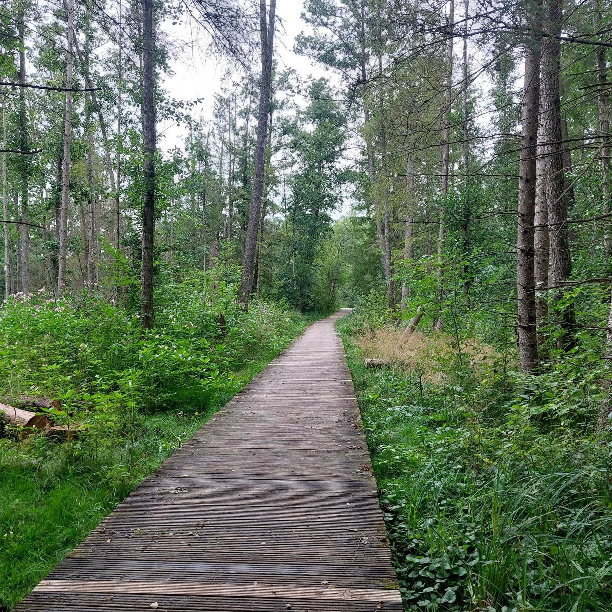
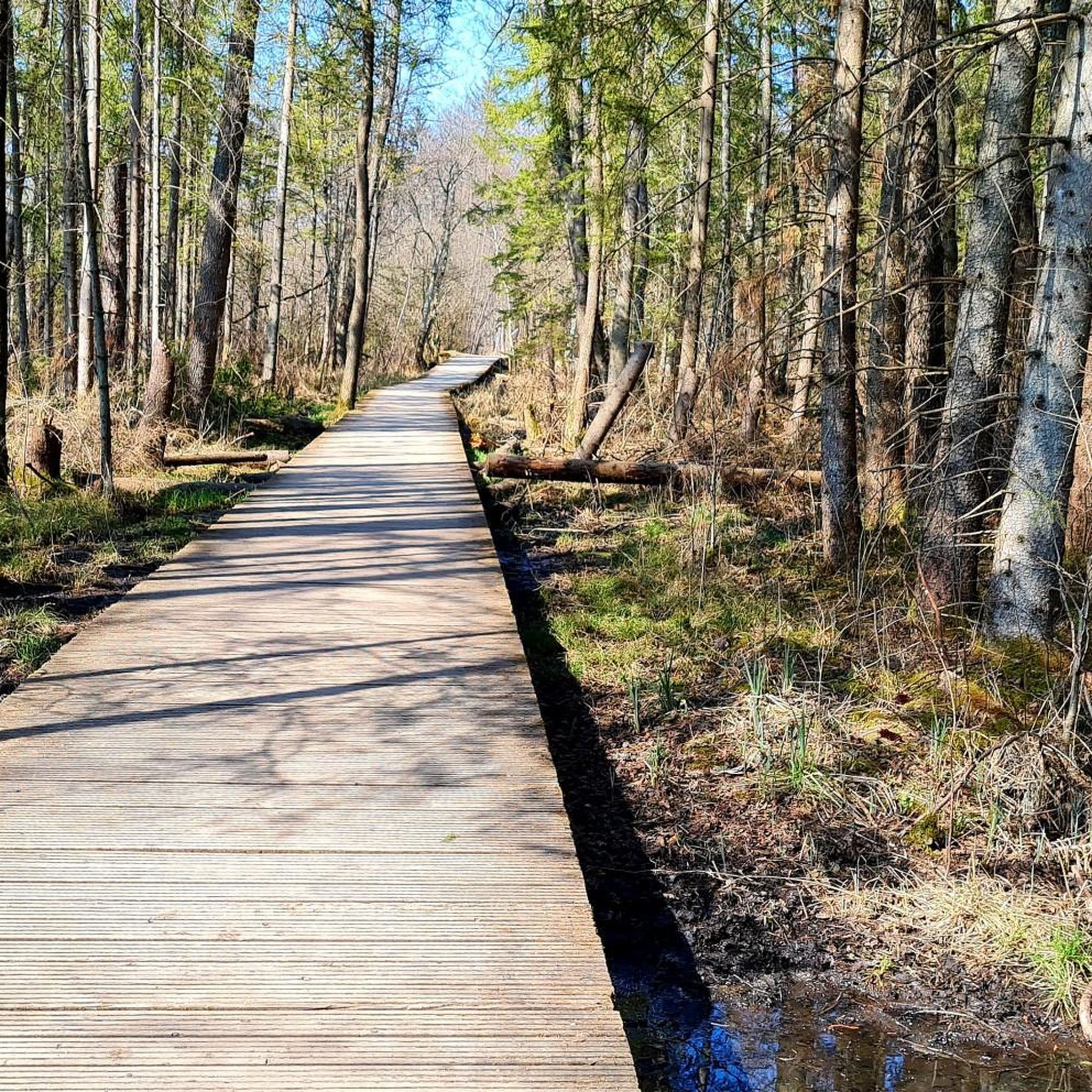
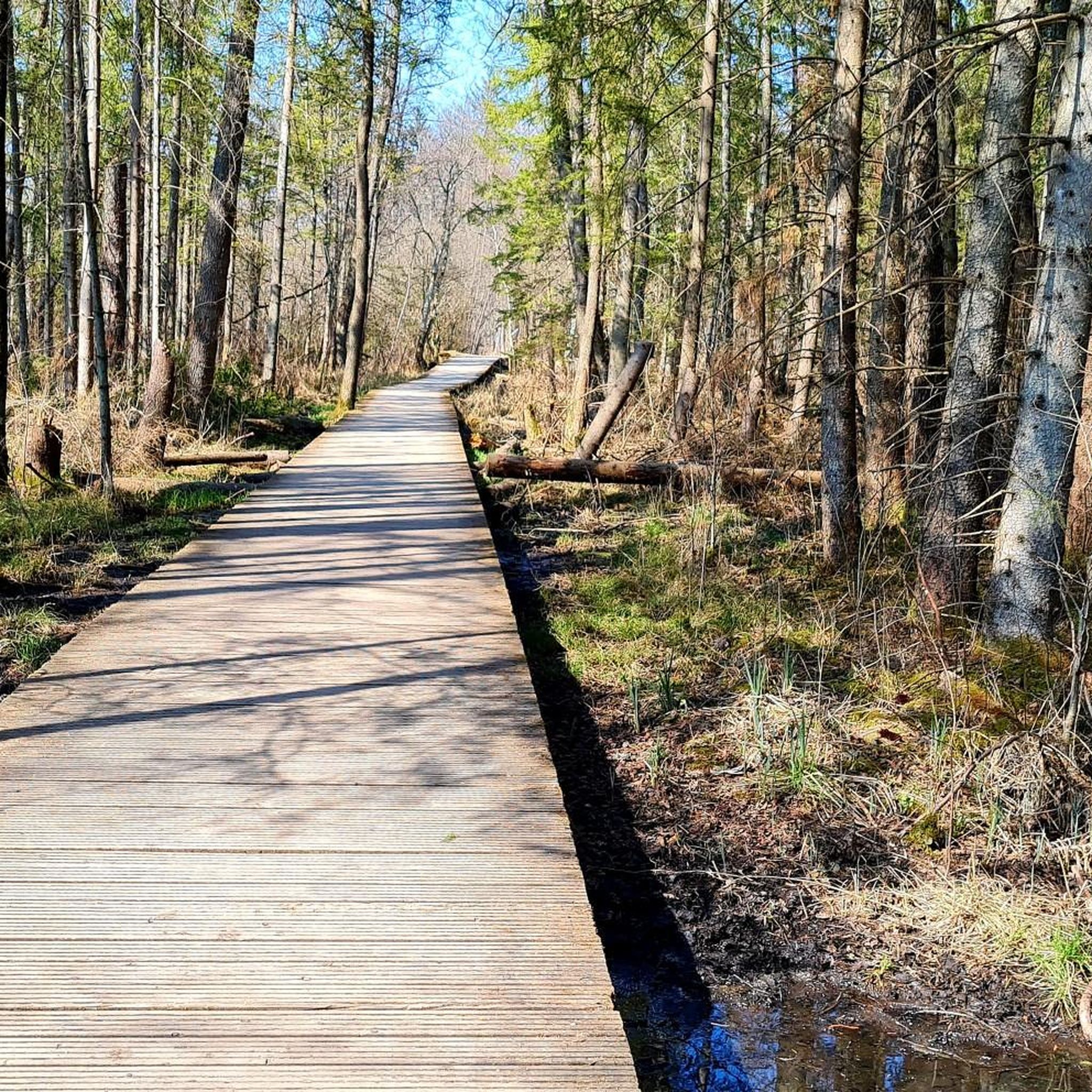
Tips from the Community


It's always a nice experience to explore the area here by bike
0
0

Beautiful avenue. Good to ride.
0
0
The path from St. Ottilien along the north shore of the Ammersee also offers some beautiful views.
0
0

One of many many access points to the lake.
0
0

Despite the busy road nearby, cycling along the avenue is very beautiful.
0
0

Beautiful path through the forest
0
0
Beautiful avenue with little traffic
0
0
Frequently Asked Questions
How many road cycling routes are available in Leutstettener Moos?
There are over 180 road cycling routes available in Leutstettener Moos, catering to various skill levels from easy to difficult.
Are there road cycling routes for beginners in Leutstettener Moos?
Yes, Leutstettener Moos offers a good selection of routes suitable for beginners. There are 34 easy routes, characterized by gentle terrain and moderate elevations. An example is the View of Lake Starnberg – Scenic view of Lake Starnberg loop from Starnberg Nord, which is 20.9 miles (33.6 km) long with about 290 meters of elevation gain.
What options are available for experienced road cyclists seeking a challenge?
For experienced road cyclists, Leutstettener Moos provides 19 difficult routes with more significant elevation changes and longer distances. The region's rolling terrain ensures a good workout. Consider the Ammersee Pier – Ammersee Beach loop from Starnberg Nord for a longer, more demanding ride.
What scenic viewpoints or attractions can I discover along the road cycling routes?
Many routes offer views of Lake Starnberg. You can also find interesting highlights like the Boathouses on Lake Starnberg or the historical Villa Rustica Leutstetten. While primarily a natural park, the area's proximity to the lake provides beautiful vistas.
Can I find circular road cycling routes in Leutstettener Moos?
Yes, the majority of road cycling routes in Leutstettener Moos are designed as loops, allowing you to start and end at the same point. This is convenient for exploring the diverse landscapes without retracing your path. For instance, the popular Andechs Abbey – Cycle Path to Söcking loop from Starnberg Nord is a circular route.
What is the best time of year for road cycling in Leutstettener Moos?
The best time for road cycling in Leutstettener Moos is typically from spring to autumn (April to October), when the weather is mild and the natural park is in full bloom. Summer offers longer daylight hours, while spring and autumn provide pleasant temperatures and vibrant scenery.
Is road cycling possible in Leutstettener Moos during winter?
While some dedicated cyclists may ride in winter, road cycling in Leutstettener Moos can be challenging due to colder temperatures, potential ice, and shorter daylight hours. Many of the quieter country roads may not be regularly cleared of snow or ice. It's advisable to check local weather conditions and road reports if planning a winter ride.
Are there places to stop for refreshments or food along the road cycling routes?
Given the region's popularity and proximity to Lake Starnberg, you'll find various cafes, restaurants, and beer gardens in the villages and towns surrounding Leutstettener Moos, such as Starnberg or Andechs. Many routes pass through or near these areas, offering opportunities for a break.
Where can I park my car when road cycling in Leutstettener Moos?
Parking is generally available in the towns and villages bordering Leutstettener Moos, such as Starnberg. Look for designated parking areas, often near train stations or public facilities, which serve as good starting points for many routes.
Is Leutstettener Moos accessible by public transport for road cyclists?
Yes, Leutstettener Moos is well-connected by public transport, particularly via the S-Bahn (commuter train) to Starnberg. From Starnberg Nord station, many road cycling routes begin, making it convenient to access the area without a car. Check local transport schedules for bike carriage policies.
What do other road cyclists appreciate about the routes in Leutstettener Moos?
The road cycling routes in Leutstettener Moos are highly rated by the komoot community, with an average score of 4.6 stars from over 600 reviews. Cyclists often praise the gentle hills, scenic lake views, and the network of quiet country roads that provide varied and enjoyable riding experiences.
Are there less crowded road cycling routes in Leutstettener Moos?
While popular, Leutstettener Moos offers a wide network of roads. To find less crowded options, consider exploring routes that venture slightly further from the immediate lake shore or popular starting points. Early mornings or weekdays are also good times to experience quieter rides.
Most popular routes in Leutstettener Moos
Most popular attractions in Leutstettener Moos

Get inspired with the komoot mobile app


Explore more
Browse the best Road cycling routes in other regions.
