The best walks and hikes in Wildfütterung Jagerbergl
4.4
(4500)
26,027
hikers
193
hikes
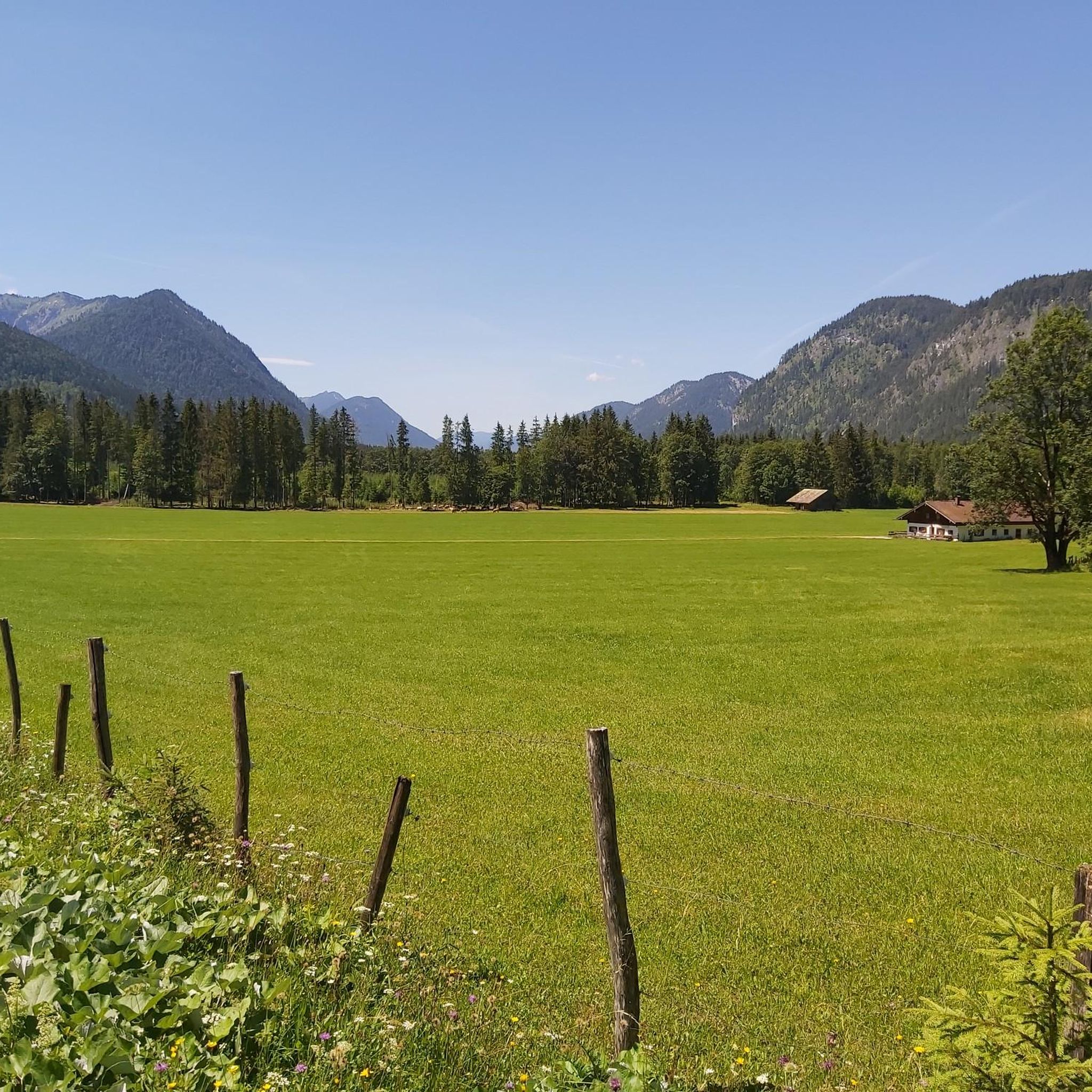
Hiking in Wildfütterung Jagerbergl offers diverse trails within the Karwendel mountains, characterized by alpine landscapes and untouched natural environments. The region features a glacial trough landscape with formations like the Leitenkammer Gorge. Hikers encounter a mix of dense forests, open alpine meadows, and impressive mountain backdrops. The area provides both well-maintained paths and more challenging alpine terrain, catering to various experience levels.
Best hiking trails in Wildfütterung Jagerbergl
- The most popular hiking route is Walchen Riverbank – Walchen Gorge loop…
Last updated: May 20, 2026
4.1
(12)
43
hikers
5.95km
01:43
110m
110m
Moderate hike. Great for any fitness level. Mostly accessible paths. Sure-footedness required.
3.3
(3)
16
hikers
6.45km
03:18
510m
510m
Moderate hike. Good fitness required. Mostly accessible paths. Sure-footedness required.

Sign up for free
4.8
(13)
74
hikers
17.2km
07:22
1,000m
990m
Hard hike. Very good fitness required. Mostly accessible paths. Sure-footedness required.
4.6
(5)
32
hikers
7.62km
03:13
430m
430m
Moderate hike. Good fitness required. Mostly accessible paths. Sure-footedness required.
4.0
(19)
91
hikers
Easy hike. Great for any fitness level. Easily-accessible paths. Suitable for all skill levels.
Get access to more routes and recommendations from other explorers.
Sign up for free
Already have an account?
Our route recommendations are based on thousands of hikes, rides, and runs completed by other people on komoot.
Start today with a free account
Your next adventure awaits.
Login or Signup

Tips from the Community

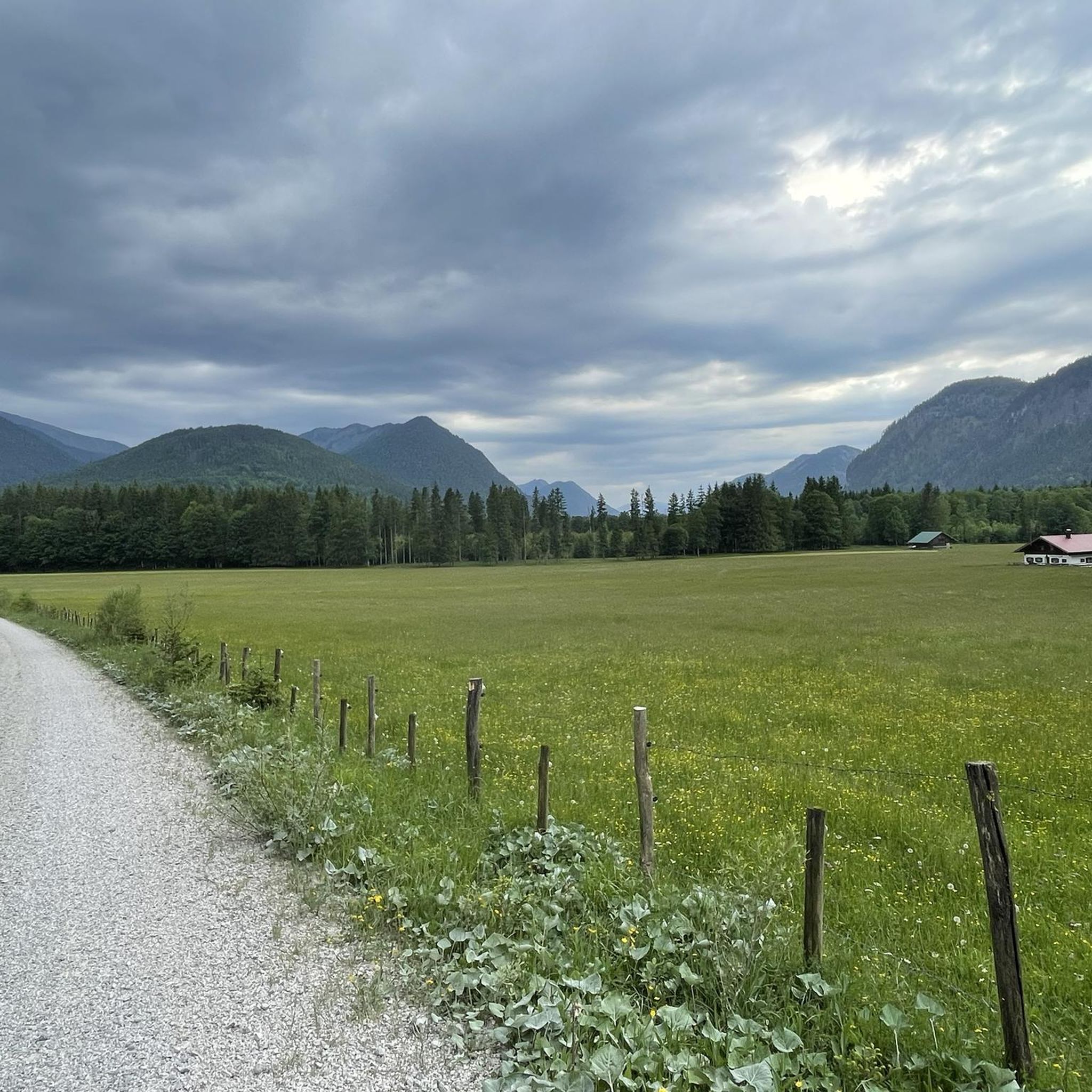
Crowded almost all year round, as the summit is very easy to climb, depending on which direction you come from. Especially if it hasn't rained or snowed, it's quite easy. Nothing is left of the old high alpine pasture. Nevertheless, it offers a great panorama in all directions. If it has snowed, crampons and gaiters (depending on the snow depth) are recommended, as the ascent can be steep and slippery.
0
0

The Faller-Klamm Bridge or "Sylvensteinsee Bridge" is a road bridge in the municipality of Lenggries in the district of Bad Tölz-Wolfratshausen and part of the federal highway 307. This bridge, built in 1957, carries one lane in each direction over the southern part of the Sylvenstein reservoir.
0
0

Steep descent to the water is rewarded with fabulous views of the gorge
0
0

DAV carpooling bench – no one gets stuck with us. Get flexible from the mountain to the train station with the DAV carpooling bench.
1
0


The Hochalm is located south of the Isar Valley and is a very popular hiking mountain. The most popular route is from the south from the road to/from the Sylvenstein. The path from the Glashütte from the east via the Martin Hütte is completely isolated and unpaved. In midsummer you can go up from the north from Fleck, but I find that rather boring. Great view from the summit cross. All paths are not difficult.
0
0
The Hochalm is located south of the Isar Valley and is a very popular hiking mountain. The most popular route is from the south from the road to/from the Sylvenstein. The path from the Glashütte from the east via the Mitter Hütte is completely isolated and unpaved. In midsummer you can go up from the north from Fleck, but I find that rather boring. Great view from the summit cross. All paths are not difficult.
1
0
View to the east towards Glashütte / Mitter Hütte
1
0
Frequently Asked Questions
What kind of terrain can I expect on hikes in Wildfütterung Jagerbergl?
The region offers a diverse range of terrain, from well-maintained paths through dense forests and open alpine meadows to more challenging alpine sections. You'll encounter impressive mountain backdrops, and some routes feature steep sections and narrow paths, especially when ascending towards higher peaks like Schafreuter.
Are there any notable natural features or landmarks to see while hiking?
Yes, Wildfütterung Jagerbergl is rich in natural beauty. A prominent attraction is the Delpsee, an impressively located small lake often described as a true jewel in the northern Karwendel. You can also experience the tranquil Krottenbachtal (Krottenbach Valley), known for its quiet and varied scenery. Geologically, the area features a glacial trough landscape with formations like the Leitenkammer Gorge and its eroded potholes.
What are the difficulty levels of hiking trails in Wildfütterung Jagerbergl?
The trails cater to a wide range of fitness levels. There are 39 easy routes for casual walkers, 78 moderate trails, and 67 difficult mountain tours for experienced hikers. Some ascents, particularly towards summits like Schafreuter, are conditionally demanding and require sure-footedness and a head for heights.
Can I find circular hiking routes in Wildfütterung Jagerbergl?
Yes, many routes in Wildfütterung Jagerbergl are designed as loops. For example, the Walchen Riverbank – Walchen Gorge loop from Walchenbergl offers varied natural scenery, while the View of Sylvenstein Reservoir – Forest Rest Area loop from Walchenbergl provides scenic views. Another option is the Forest Rest Area – Röthenbach Alpe loop from Walchenbergl, leading through forested slopes and alpine pastures.
What do other hikers say about the trails in Wildfütterung Jagerbergl?
The hiking trails in Wildfütterung Jagerbergl are highly regarded by the komoot community, holding an average rating of 4.4 stars from over 4,200 reviews. Hikers often praise the untouched natural environment, the stunning alpine landscapes, and the variety of trails available for different skill levels.
Is Wildfütterung Jagerbergl suitable for family hikes?
Yes, with 39 easy routes available, there are plenty of options for families. The well-maintained paths through forests and meadows can be enjoyable for children. However, always check the specific trail details for elevation and length to ensure it matches your family's capabilities.
Are dogs allowed on the hiking trails in Wildfütterung Jagerbergl?
While the region is a natural environment, specific dog policies can vary by trail or protected area. It's generally advisable to keep dogs on a leash, especially in areas with wildlife or livestock, and to always clean up after them. Check local signage for any specific restrictions.
What is the best time of year to go hiking in Wildfütterung Jagerbergl?
The best time for hiking typically spans from late spring through early autumn (May to October), when the weather is generally mild and trails are clear of snow. During these months, you can fully appreciate the open alpine meadows and mountain views. Winter hiking is possible but requires appropriate gear and awareness of snow and ice conditions.
Are there opportunities for wildlife spotting in Wildfütterung Jagerbergl?
As part of a protected natural environment and a biosphere reserve, Wildfütterung Jagerbergl offers opportunities to observe diverse flora and fauna. The broader concept of 'Wildfütterung' (wildlife feeding) in such areas supports animals like red deer during winter, so you may encounter various wild animals characteristic of the Karwendel mountains.
How many hiking routes are there in Wildfütterung Jagerbergl?
There are over 180 hiking routes available in Wildfütterung Jagerbergl, offering a wide selection for all preferences. This includes 39 easy, 78 moderate, and 67 difficult trails, ensuring options for every experience level.
Are there any challenging summit hikes in the area?
Yes, for experienced hikers, the ascent to the summit of Schafreuter (2,102 meters) is a notable challenge. This tour is considered conditionally demanding and requires sure-footedness and a head for heights. From the Tölzer Hütte, which is often part of the route, you are rewarded with a magnificent Karwendel panorama.
What kind of views can I expect on the trails?
Hikers can expect impressive mountain backdrops of the Karwendel range, panoramic views from higher elevations like the Tölzer Hütte, and scenic vistas of natural features such as the Delpsee and the tranquil Krottenbachtal. Some routes, like the View from the Hochalm summit – Hochalm (Lenggries) summit loop from Walchenbergl, are specifically designed to lead to stunning viewpoints.
Most popular routes in Wildfütterung Jagerbergl

Get inspired with the komoot mobile app


Explore more
Browse the best Hikes in other regions.
