Wildschutzgebiet Laingraben
Wildschutzgebiet Laingraben
The best mountain hikes in Wildschutzgebiet Laingraben
4.8
(666)
6,609
hikers
93
hikes
Mountaineering routes in Wildschutzgebiet Laingraben traverse a diverse and challenging alpine landscape. The region is characterized by significant peaks, river valleys, expansive forests, and open terrain. Notable features include the Isar river and its valleys, along with several prominent mountains that offer substantial elevation gains. This protected natural area provides a range of routes for mountaineers seeking varied physical challenges.
Best mountaineering routes in Wildschutzgebiet Laingraben
- The most popular mountaineering route is Soiern Hut – Fischbachalm loop from Krün,…
Last updated: July 5, 2026
5.0
(17)
137
hikers
22.7km
07:36
940m
940m
Hard mountaineering route. Very good fitness required. Sure-footedness, sturdy shoes and alpine experience required.
4.9
(12)
91
hikers
15.2km
08:02
1,250m
1,250m
Hard mountaineering route. Very good fitness required. Sure-footedness, sturdy shoes and alpine experience required.

Sign up for free
4.9
(8)
79
hikers
16.0km
07:40
1,070m
1,070m
Hard mountaineering route. Very good fitness required. Sure-footedness, sturdy shoes and alpine experience required.
3.5
(2)
19
hikers
13.3km
06:36
1,060m
1,060m
Hard mountaineering route. Very good fitness required. Sure-footedness, sturdy shoes and alpine experience required.
5.0
(3)
17
hikers
5.65km
02:06
280m
280m
Moderate mountaineering route. Good fitness required. Mostly accessible paths. Sure-footedness required.
Get access to more routes and recommendations from other explorers.
Sign up for free
Already have an account?
Our route recommendations are based on thousands of hikes, rides, and runs completed by other people on komoot.
Start today with a free account
Your next adventure awaits.
Login or Signup
Tips from the Community

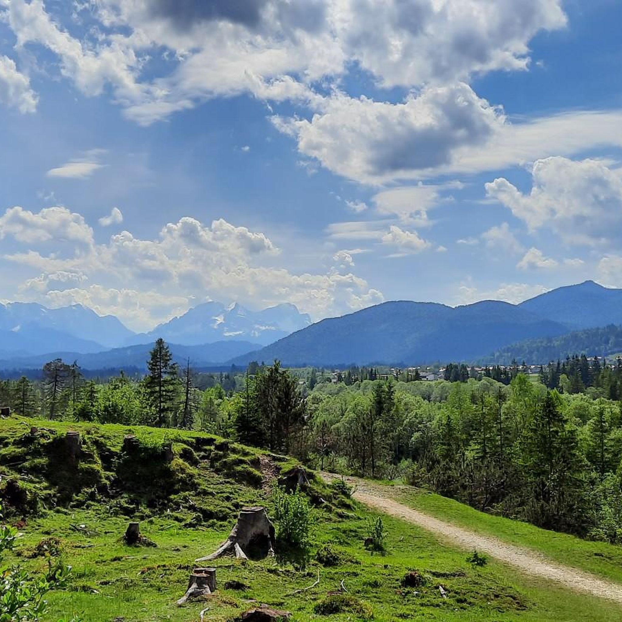
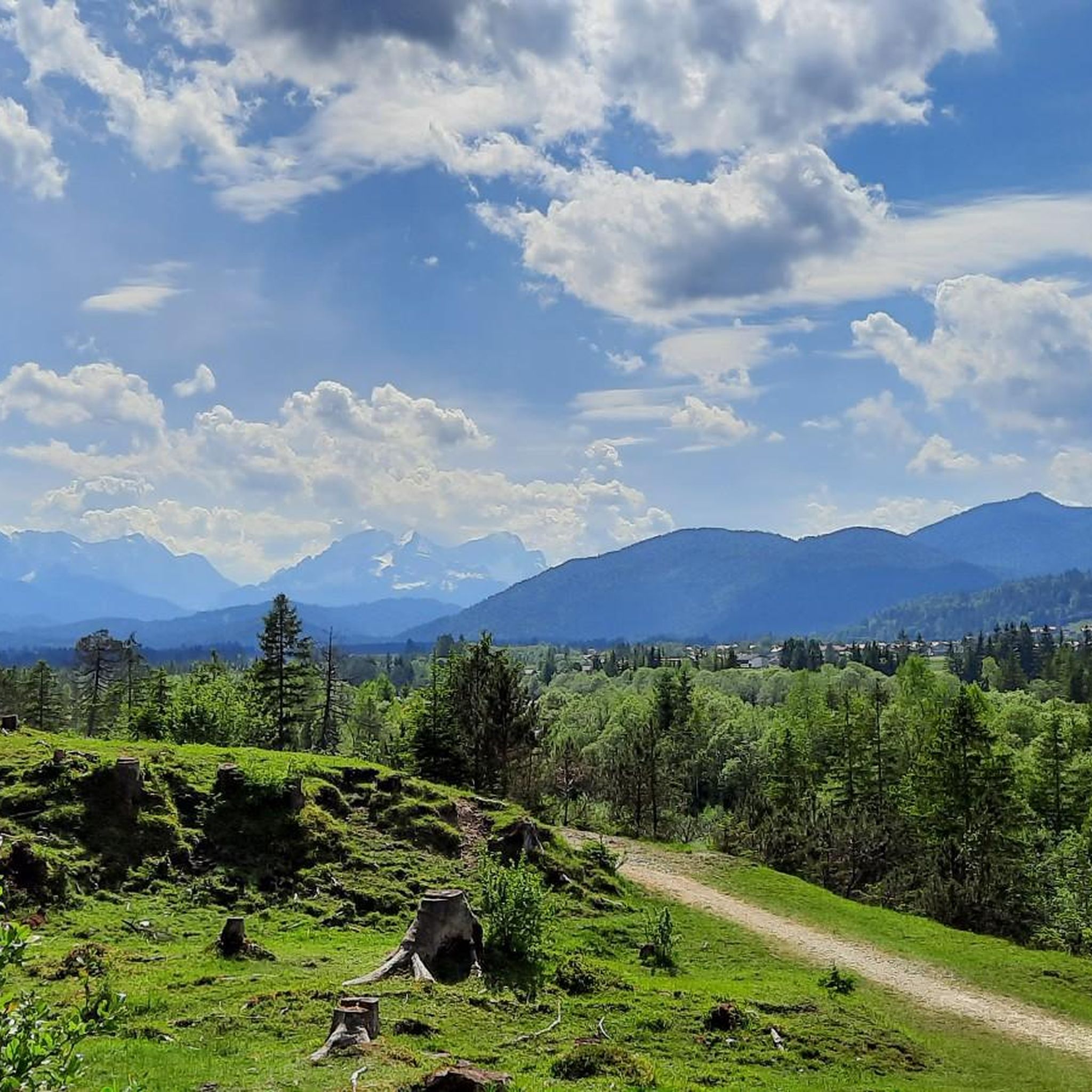
View of the Karwendel mountains
0
0

Very pleasant in summer. Slippery steps in winter. A nice little gorge.
0
0

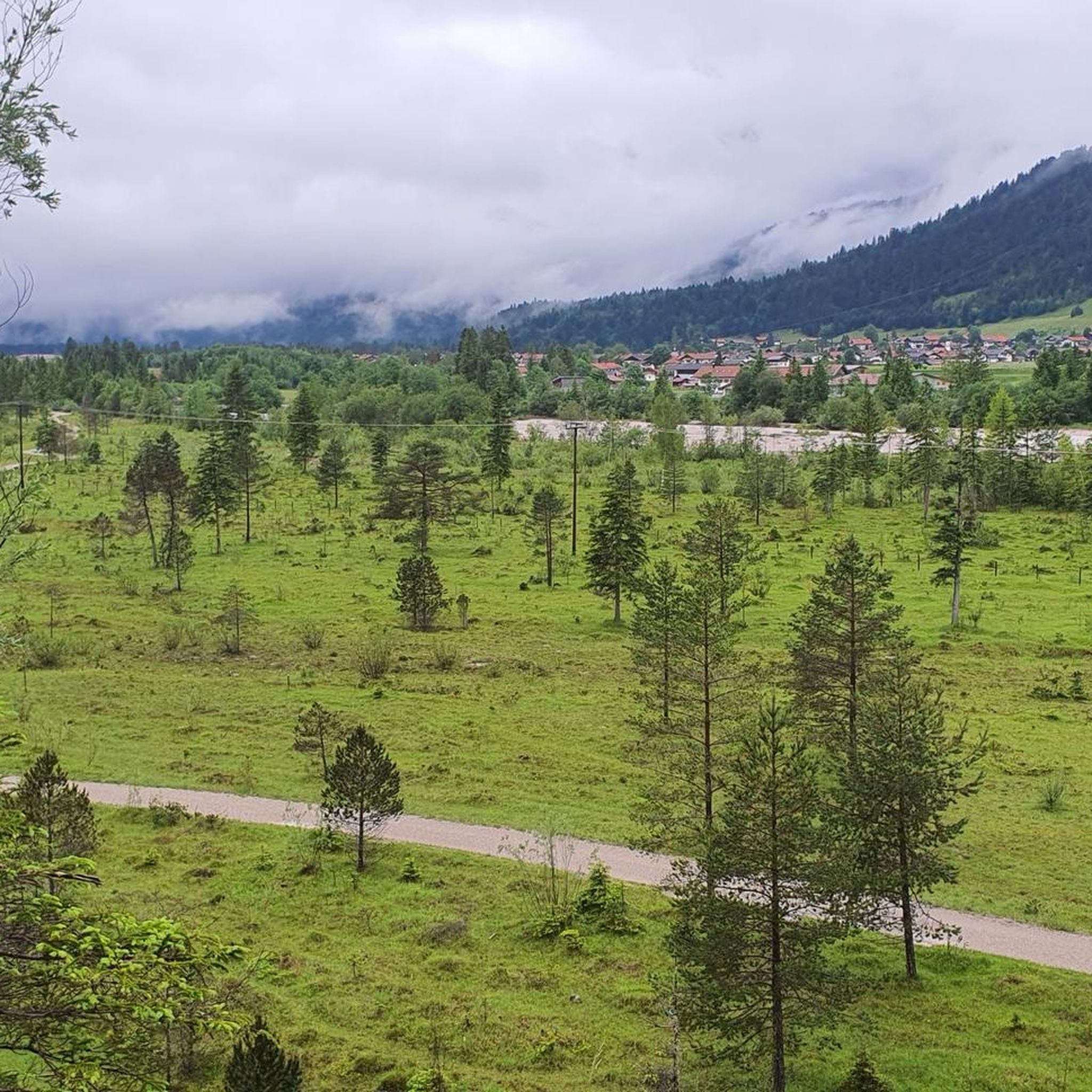
Nice place for a break with a great view of the Isar and mountains
0
0

A well-designed and informative path
1
0

A great tour with Seinskopf, Signalkopf, and finally over Lausberg back down towards Isarhorn, for example. This makes it a real circuit...
2
1
Frequently Asked Questions
How many mountaineering routes are available in Wildschutzgebiet Laingraben?
Wildschutzgebiet Laingraben offers a wide selection of mountaineering routes, with over 100 tours available. These range from moderate to difficult, catering to various skill levels.
What are the typical difficulty levels for mountaineering routes here?
The mountaineering routes in Wildschutzgebiet Laingraben are predominantly challenging. You'll find 37 moderate routes and 60 difficult routes, with only a few easier options. Many routes, such as the View of Signalkopf – Schöttelkarspitze loop from Krün, demand good fitness and alpine experience.
Are there any family-friendly mountaineering options in Wildschutzgebiet Laingraben?
While many routes are challenging, there are a few easier options available. For a less strenuous experience that still offers beautiful scenery, consider exploring the river valleys or the more accessible parts of the protected area. Always check route details for specific difficulty and suitability for families.
Can I bring my dog on the mountaineering trails?
Wildschutzgebiet Laingraben is a protected natural area. While many trails in the region are dog-friendly, it's crucial to check specific regulations for each route and always keep your dog on a leash to protect wildlife and ensure safety. Be prepared for varied terrain and potential encounters with other hikers or animals.
What natural features or landmarks can I expect to see along the routes?
The region is rich in natural beauty. You can expect to see prominent peaks like Signalkopf and Schöttelkarspitze, the picturesque Isar river and its valleys, and expansive forests. Some routes, like the Bridge Over the Hüttlebach – Hüttelbach Gorge loop from Krün, take you through impressive gorges. You might also encounter highlights such as the Waterfall and Rocky Riverbed in Karwendel or the Schöttelgraben Water Source.
Are there any circular mountaineering routes?
Yes, many of the mountaineering routes in Wildschutzgebiet Laingraben are designed as loops, allowing you to start and end at the same point. Examples include the popular Soiern Hut – Fischbachalm loop from Krün and the View of Signalkopf – Signalkopf (1,895 m) loop from Krün.
What is the best time of year for mountaineering in Wildschutzgebiet Laingraben?
The best time for mountaineering typically spans from late spring to early autumn (May to October), when trails are generally free of snow and weather conditions are more stable. However, alpine conditions can change rapidly, so always check local forecasts and trail conditions before heading out, especially in shoulder seasons.
How long do mountaineering routes typically take to complete?
The duration of mountaineering routes varies significantly based on distance, elevation gain, and your pace. For instance, the Soiern Hut – Fischbachalm loop from Krün is a difficult 22.4 km trail that takes approximately 7 hours 32 minutes, while the Bridge Over the Hüttlebach – Hüttelbach Gorge loop from Krün is a moderate 5.6 km route taking about 2 hours 4 minutes.
Are there options for parking or public transport to reach the trailheads?
Many mountaineering routes in Wildschutzgebiet Laingraben start from towns like Krün, which typically offer parking facilities. Public transport options, such as buses, may also serve key access points. It's advisable to research specific trailhead access and parking availability for your chosen route in advance.
What do other mountaineers say about the routes in Wildschutzgebiet Laingraben?
The routes in Wildschutzgebiet Laingraben are highly regarded by the komoot community, boasting an average rating of 4.8 stars from over 600 reviews. Mountaineers frequently praise the stunning alpine scenery, challenging terrain, and the rewarding views from peaks like Signalkopf and Schöttelkarspitze.
Are there any routes that feature lakes or water bodies?
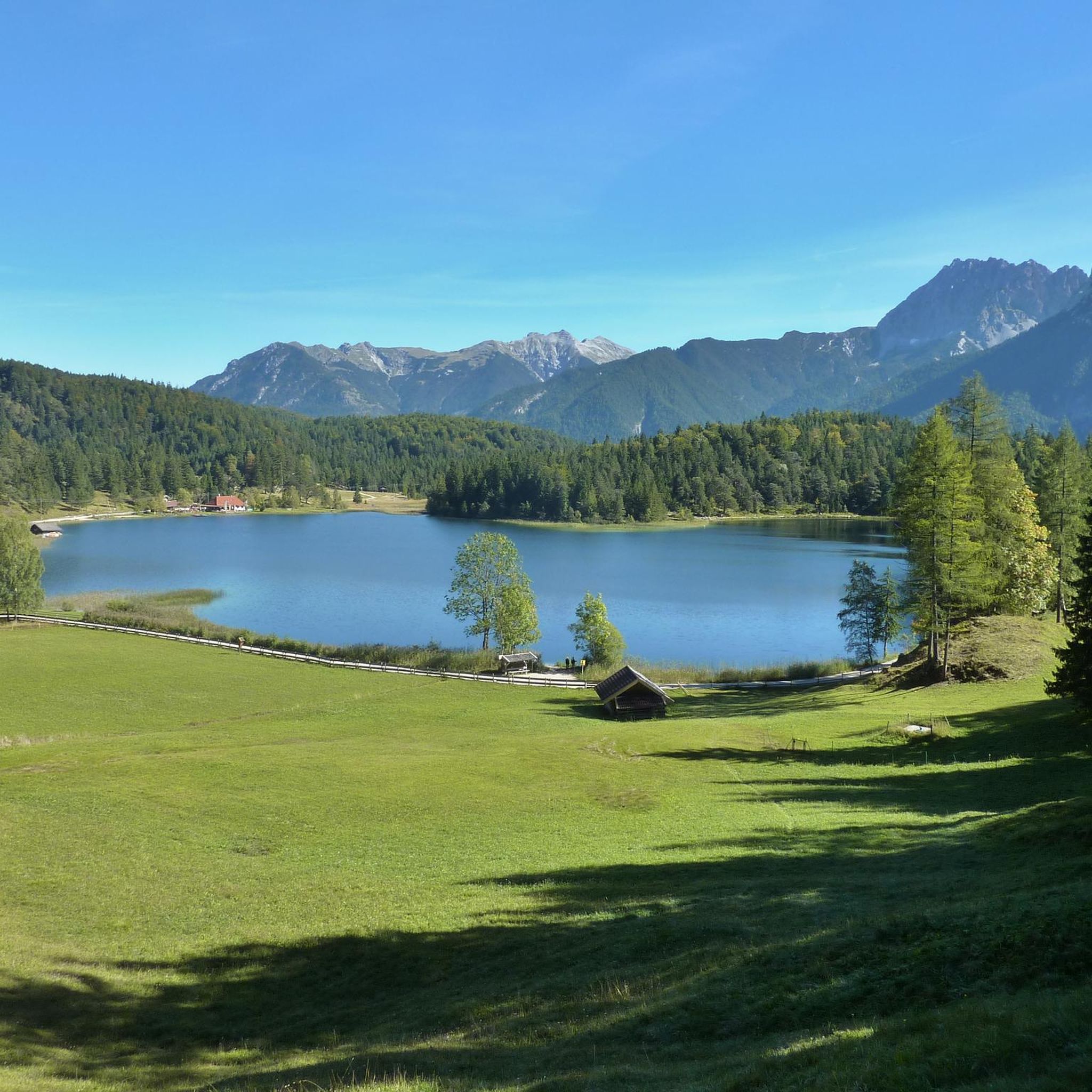
Yes, the region is known for its beautiful lakes. The Soiern Hut – Fischbachalm loop from Krün, for example, offers stunning lake views, and some visitors even enjoy a refreshing dip after their hike. The presence of multiple lakes, highlighted by the 'Drei-Seen-Wanderung' (Three-Lakes-Hike), adds another dimension to the scenic beauty.
What kind of elevation gains can I expect on these mountaineering routes?
Mountaineering in Wildschutzgebiet Laingraben involves substantial elevation gains, making it ideal for those seeking a physical challenge. Many difficult routes feature ascents exceeding 1,000 meters (over 3,000 feet). For instance, the View of Signalkopf – Schöttelkarspitze loop from Krün involves an elevation gain of over 1,250 meters.
Where can I find refreshments or accommodation near the mountaineering trails?
Towns like Krün, often serving as starting points for routes, provide various options for refreshments and accommodation. Additionally, facilities like the Soiern Hut are available along some longer alpine excursions, offering a place to rest and refuel.
Most popular routes in Wildschutzgebiet Laingraben
Most popular attractions in Wildschutzgebiet Laingraben

Get inspired with the komoot mobile app


Explore more
Browse the best Mountain Hikes & Routes in other regions.
