The best walks and hikes in Reinhardsberg
4.6
(20550)
106,493
hikers
867
hikes
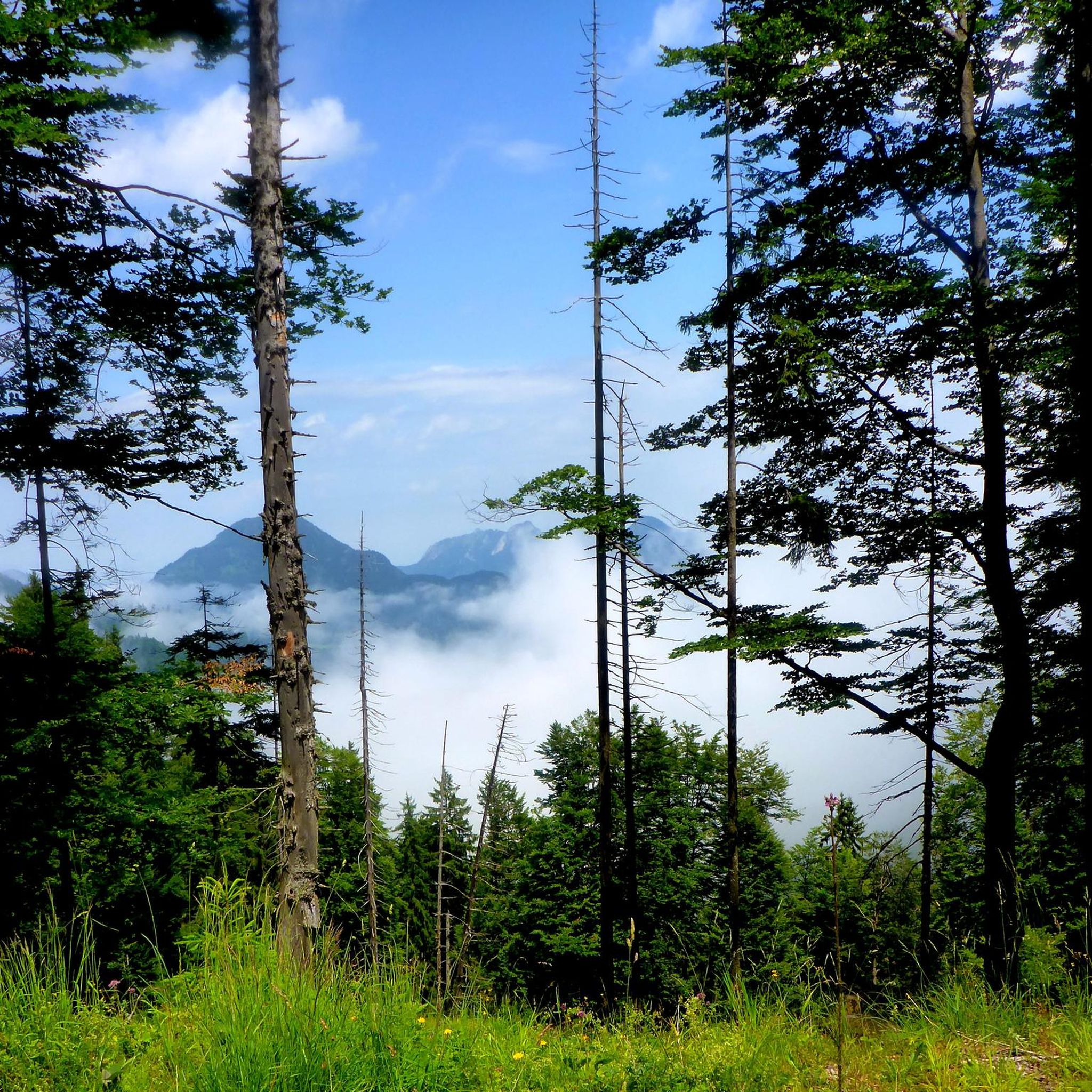
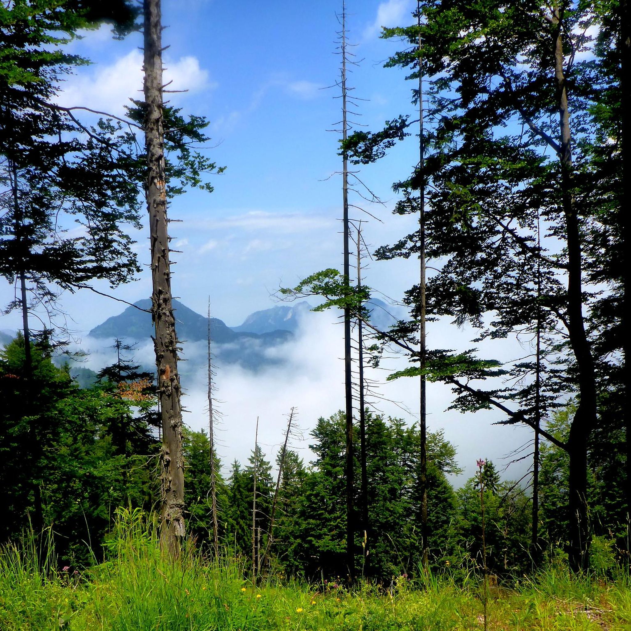
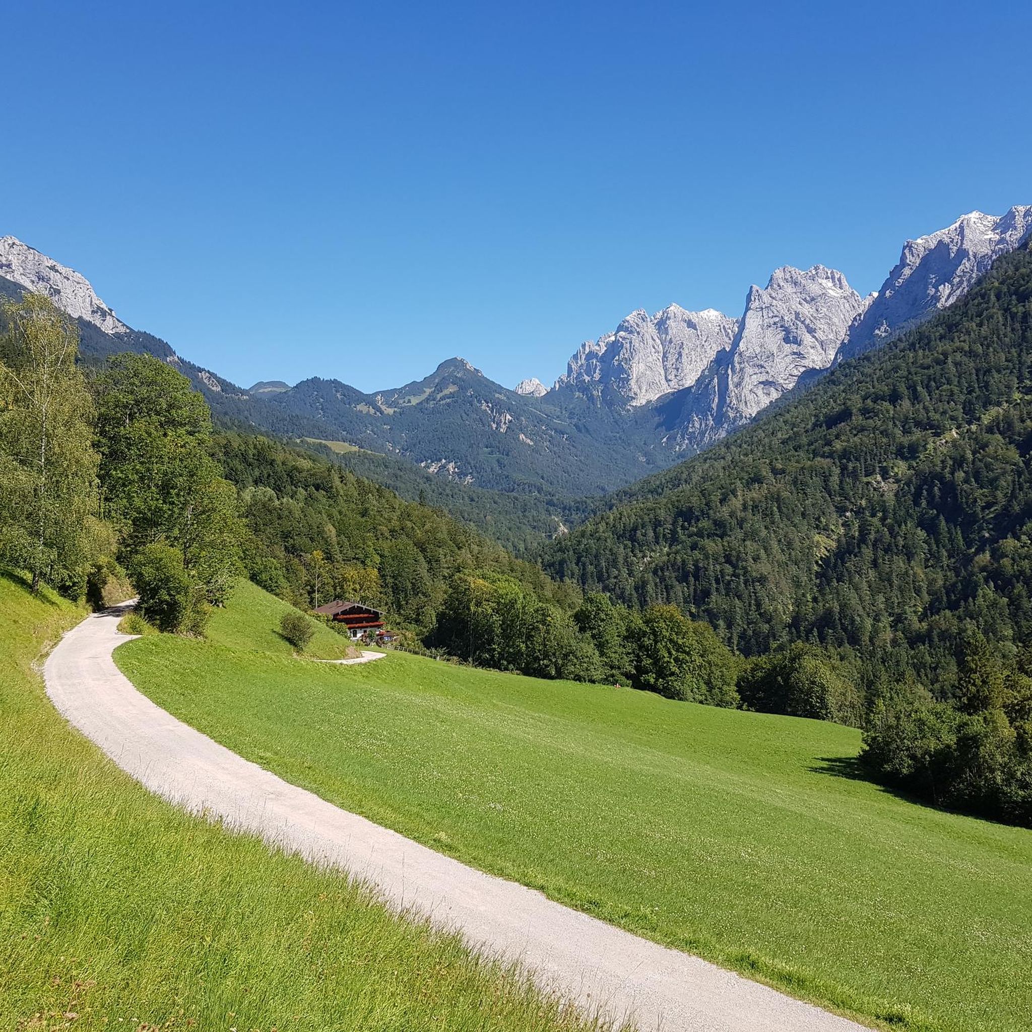
Hiking in Reinhardsberg offers a diverse alpine landscape, characterized by dramatic gorges, forested slopes, and panoramic views of the Bavarian Alps. The region features varied terrain, from gentle valley paths to challenging summit ascents. Hikers can explore trails winding through natural parks and along scenic waterways, providing a range of elevation changes and natural features.
Best hiking trails in Reinhardsberg
- The most popular hiking route is Giessenbach Gorge – View of the Bavarian Alps loop from Burgruine Thierberg, a…
Last updated: September 27, 2026
4.6
(549)
2,374
hikers
Moderate hike. Good fitness required. Easily-accessible paths. Suitable for all skill levels.
4.5
(85)
238
hikers
10.8km
03:18
370m
370m
Moderate hike. Good fitness required. Easily-accessible paths. Suitable for all skill levels.

4.9
(104)
466
hikers
17.1km
06:35
910m
910m
Hard hike. Very good fitness required. Mostly accessible paths. Sure-footedness required.
4.8
(33)
243
hikers
Moderate hike. Good fitness required. Mostly accessible paths. Sure-footedness required.
4.9
(23)
97
hikers
Hard hike. Very good fitness required. Mostly accessible paths. Sure-footedness required.
Get access to more routes and recommendations from other explorers.
Already have an account?
Our route recommendations are based on thousands of hikes, rides, and runs completed by other people on komoot.
Start today with a free account
Your next adventure awaits.
Tips from the Community

Not really a summit, more simply the highest point of a long ridge.
1
0
Snow lingers on the cold north face well into April. Taking crampons is a good idea!
0
0

Today's Sachs Bridge consists of two steel bridge sections that were placed on reinforced foundations by helicopter in 2019 to better protect and stabilize the bridge against weather and flood damage. Walking across the bridge offers impressive views of the dam and the small lake dammed above it, as well as back into the depths of the gorge with its rushing water and steep rock faces – a truly special experience on a hike through the Gießenbach Gorge.
1
0
The covered wooden bridge over the Gießenbach stream near the Schopperalm is a charming and characteristic feature on the hiking route through the Gießenbach Gorge – especially on the way back to the farms around the Trojerhof.
1
0
Those crossing this bridge experience a transition between two sections of the hike: from the alpine pasture and the open terrain back into the forest and up to the meadows and pastures surrounding the Trojerhof. The bridge marks not only a geographical location, but also a change of atmosphere – the sound of the stream beneath the planks, the wooden roofs overhead, the feeling of protection from rain or strong sun.
1
0
Beautiful viewpoint with a bench for a break above the historic Trojer mountain farm on the energy hiking trail from Kiefersfelden.
2
0
Great view of the Bavarian mountains above the historic Trojer mountain farm.
1
0
The Wachtl quarry is located on the border between Tyrol and Bavaria, near Kiefersfelden (not Ruhpolding). For many decades, limestone and marl were mined here for the Kiefersfelden cement factory and transported down to the valley on the historic Wachtl Railway. Today, mining has largely ceased, and a small lake has formed in the former pits. Nature is slowly reclaiming the site—a silent testament to industrial history and the power of the landscape around Thiersee.
1
0
Frequently Asked Questions
What kind of terrain can I expect when hiking in Reinhardsberg?
Reinhardsberg offers a diverse alpine landscape, featuring dramatic gorges, forested slopes, and panoramic views of the Bavarian Alps. You'll find varied terrain, from gentle valley paths suitable for leisurely strolls to challenging summit ascents for experienced hikers. The region is characterized by its natural parks and scenic waterways.
How many hiking routes are available in Reinhardsberg?
There are over 800 hiking routes available in Reinhardsberg, catering to a wide range of abilities. This includes more than 300 easy trails, around 380 moderate paths, and over 140 difficult routes for those seeking a challenge.
Are there any family-friendly hiking options in Reinhardsberg?
Yes, Reinhardsberg has numerous family-friendly options, particularly among its easy trails. For example, the Giessenbach Gorge – View of the Bavarian Alps loop from Burgruine Thierberg is an easy 3.9-mile route that offers scenic gorge views and glimpses of the alpine scenery, perfect for a family outing.
What are the difficulty levels of hikes in Reinhardsberg?
Hiking trails in Reinhardsberg range from easy to difficult. You can find over 300 easy routes, around 380 moderate paths, and more than 140 difficult trails. This variety ensures there's something for every fitness level, from casual walkers to seasoned mountaineers.
Are there any circular hiking routes in Reinhardsberg?
Yes, many routes in Reinhardsberg are circular, allowing you to start and end in the same location. Examples include the easy Giessenbach Gorge – View of the Bavarian Alps loop from Burgruine Thierberg and the moderate View of the Bavarian Alps – Giessenbach Gorge loop from Thiersee.
What do other hikers say about the trails in Reinhardsberg?
The hiking routes in Reinhardsberg are highly rated by the komoot community, with an average score of 4.6 stars from over 17,000 reviews. Hikers often praise the diverse alpine landscape, the dramatic gorges, and the expansive views of the Bavarian Alps.
Can I bring my dog on the hiking trails in Reinhardsberg?
While specific regulations can vary by trail and protected areas, many hiking trails in Reinhardsberg are generally dog-friendly. It's always recommended to keep your dog on a leash, especially in nature parks or near wildlife, and to check local signage for any specific restrictions.
Are there any trails that offer panoramic views of the Bavarian Alps?
Absolutely. Many trails in Reinhardsberg are known for their stunning panoramic views of the Bavarian Alps. A popular moderate route for this is the View of the Bavarian Alps – Giessenbach Gorge loop from Thiersee, which provides expansive vistas alongside picturesque gorge sections.
What are some of the natural features I can explore in Reinhardsberg?
Reinhardsberg is rich in natural features. You can explore dramatic gorges like the Giessenbach Gorge, extensive forested slopes, and scenic waterways. The region's alpine character means you'll encounter diverse flora and fauna within its natural parks.
Is there a challenging hike for experienced mountaineers?
Yes, for experienced hikers seeking a challenge, Reinhardsberg offers difficult routes with significant elevation gain. The View of Pendling and Thiersee – Pendling Summit Cross loop from Thiersee is a 10-mile trail leading through alpine forests and open terrain, involving substantial ascent and typically taking over 6 hours to complete.
Are there any trails that lead to a summit cross?
Yes, for those looking for a rewarding summit experience, the View of Pendling and Thiersee – Pendling Summit Cross loop from Thiersee is a notable option. This challenging trail takes you through alpine forests and open terrain to the Pendling Summit Cross, offering spectacular views.
What is the general duration for hikes in Reinhardsberg?
Hike durations in Reinhardsberg vary greatly depending on the trail's length and difficulty. Easy routes like the Giessenbach Gorge – View of the Bavarian Alps loop from Burgruine Thierberg can be completed in under 2 hours, while more challenging trails such as the View of Pendling and Thiersee – Pendling Summit Cross loop from Thiersee can take over 6 hours.
Most popular routes in Reinhardsberg

Get inspired with the komoot mobile app


Explore more
Browse the best Hikes in other regions.
