The best walks and hikes in Schutzzone Rothirsch
4.5
(7180)
41,161
hikers
410
hikes
Hiking trails in Schutzzone Rothirsch are situated within the Kitzbühel Alps region, characterized by mountain landscapes, alpine pastures, and water features such as waterfalls and reservoirs. The area offers a diverse range of elevations, from lower valley paths to more challenging ascents towards mountain huts. This natural park provides varied terrain suitable for different hiking experiences.
Best hiking trails in Schutzzone Rothirsch
- The most popular hiking route is Sintersbacher Waterfall – Wildalm Mountain Hut loop from Jochberg, a 12.1…
Last updated: July 1, 2026
4.8
(10)
61
hikers
20.0km
07:35
1,240m
1,240m
Hard hike. Very good fitness required. Mostly accessible paths. Sure-footedness required.
4.8
(9)
36
hikers
12.0km
03:54
540m
540m
Moderate hike. Good fitness required. Easily-accessible paths. Suitable for all skill levels.

Sign up for free
5.0
(5)
45
hikers
11.1km
03:33
500m
500m
Moderate hike. Good fitness required. Easily-accessible paths. Suitable for all skill levels.
4.2
(11)
29
hikers
9.94km
02:47
190m
190m
Moderate hike. Good fitness required. Easily-accessible paths. Suitable for all skill levels.
4.0
(5)
22
hikers
7.44km
02:35
430m
430m
Moderate hike. Good fitness required. Easily-accessible paths. Suitable for all skill levels.
Get access to more routes and recommendations from other explorers.
Sign up for free
Already have an account?
Our route recommendations are based on thousands of hikes, rides, and runs completed by other people on komoot.
Start today with a free account
Your next adventure awaits.
Login or Signup

Tips from the Community

The Teufelssprung at 2,174 meters is a distinctive peak in the Kitzbühel Alps, known for the impressive rock crevice that gives it its name. The ascent is usually made along the ridge from Gamshag or via the "gate" and the Hochtorsee from the valley floor of Saalbach-Hinterglemm. Once at the summit, a spectacular view of the surrounding mountain world opens up – a rewarding, quiet peak for sure-footed hikers.
5
0
The Teufelssprung (Devil's Leap), at 2,174 meters, is a striking peak in the Kitzbühel Alps, known for the impressive rock crevice that gives it its name. The ascent is usually via the ridge from the Gamshag or via the "Tor" and Hochtorsee lake from the head of the Saalbach-Hinterglemm valley. Once at the top, a spectacular view of the surrounding mountains opens up – a rewarding, tranquil summit for sure-footed hikers.
3
0


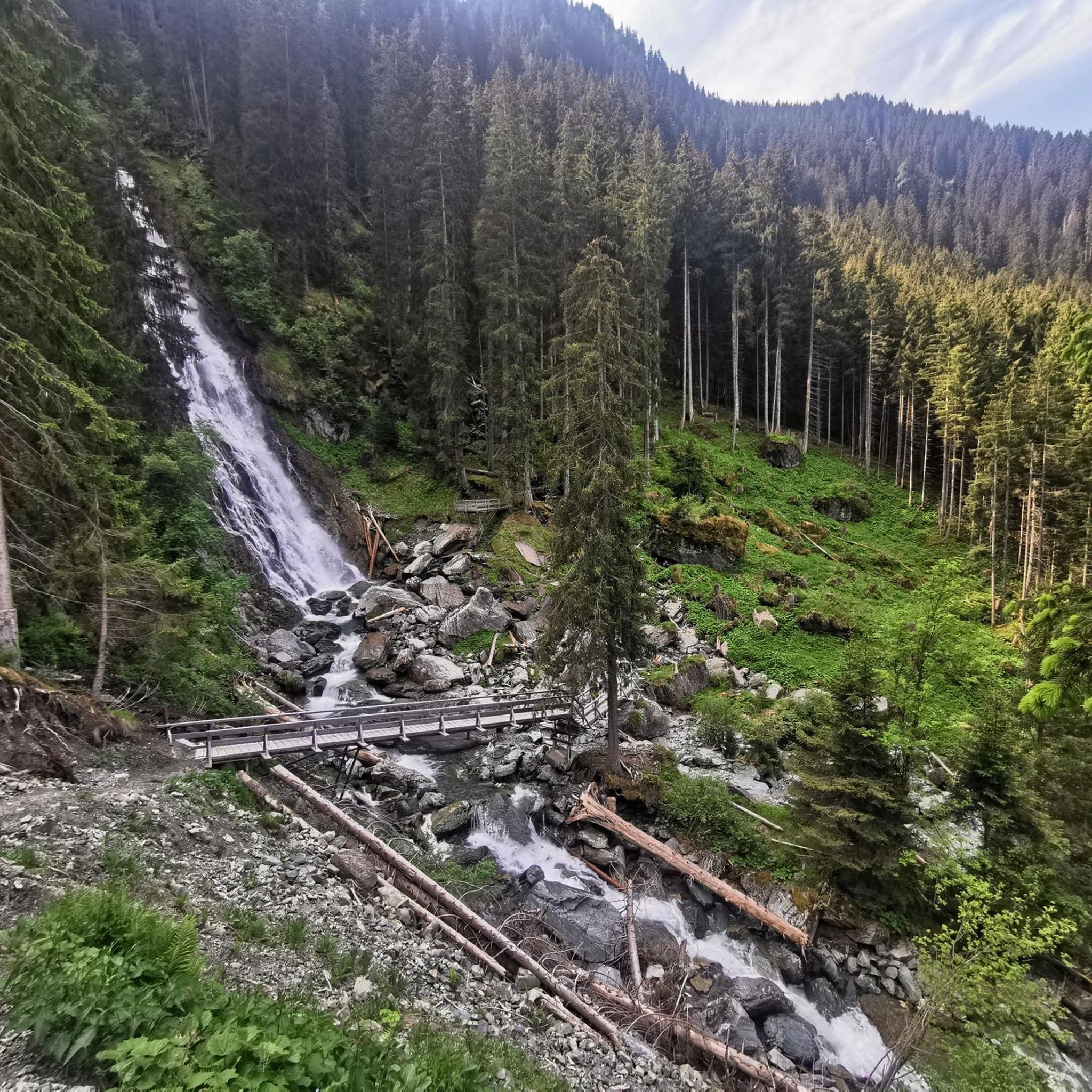
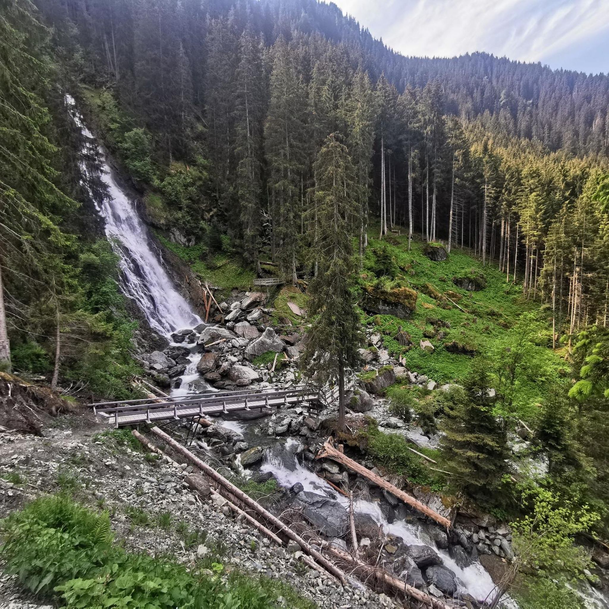
Good footwear, several platforms directly at the waterfall, continue to the Wildalm for a stop
1
0

Spectacular waterfall with a drop of over 85 m. Easily accessible in a small side valley of Jochberg. During the snow melt in spring, the waterfall carries a particularly large amount of water and is then even more impressive.
3
0

After the lower path almost slipped and nobody wants to hike on the edge, a great new path was designed a little higher with some creative ideas.
7
0
Cozy break lounger with a view of the stream and easy access to play.
7
0
Frequently Asked Questions
How many hiking trails are available in Schutzzone Rothirsch?
Schutzzone Rothirsch offers a wide selection of hiking trails, with over 400 routes to explore. These range from easy valley paths to more challenging mountain ascents.
Are there easy or family-friendly hiking trails in Schutzzone Rothirsch?
Yes, Schutzzone Rothirsch provides numerous options for easy and family-friendly hikes. There are 129 easy routes, many of which are suitable for beginners or families looking for a relaxed outdoor experience. These often feature gentle terrain and scenic views without significant elevation gain.
What kind of landscapes can I expect to see while hiking in Schutzzone Rothirsch?
Hikers in Schutzzone Rothirsch will experience diverse mountain landscapes characteristic of the Kitzbühel Alps. The region features alpine pastures, lush forests, and impressive water features such as waterfalls and serene reservoirs. You'll find varied terrain from lower valley paths to higher alpine areas.
Are there hikes with waterfalls in Schutzzone Rothirsch?
Yes, the region is known for its water features, including waterfalls. A notable route that features a prominent waterfall is the On the 7-Brunnenweg – Waterfall loop from Jochberg, which is a moderate 9.9 km trail.
Are there circular hiking routes in Schutzzone Rothirsch?
Many of the trails in Schutzzone Rothirsch are designed as circular routes, offering varied scenery without retracing your steps. Examples include the moderate View of the Kitzbühel Alps – Gerstersee Reservoir loop from Jochberg or the Gerstersee Reservoir – Bruggeralm snack station loop from Jochberg.
What is the best time of year to go hiking in Schutzzone Rothirsch?
The best time for hiking in Schutzzone Rothirsch is typically from late spring through early autumn (May to October), when the weather is mild, and trails are clear of snow. During these months, you can fully enjoy the alpine pastures and mountain views. Some lower-elevation trails might be accessible earlier or later in the season.
What do other hikers enjoy most about hiking in Schutzzone Rothirsch?
The hiking experiences in Schutzzone Rothirsch are highly rated by the komoot community, with an average score of 4.5 stars from over 6900 reviews. Hikers often praise the stunning mountain views, the refreshing waterfalls, and the tranquil alpine reservoirs that define the region's diverse terrain.
Are dogs allowed on the hiking trails in Schutzzone Rothirsch?
Generally, dogs are welcome on hiking trails in the Kitzbühel Alps region, including Schutzzone Rothirsch. However, it's always recommended to keep dogs on a leash, especially in areas with livestock or wildlife, and to check for any specific local regulations or protected zones where restrictions might apply.
Are there hikes that offer great viewpoints of the Kitzbühel Alps?
Absolutely. Many trails in Schutzzone Rothirsch provide expansive views of the surrounding Kitzbühel Alps. The View of the Kitzbühel Alps – Gerstersee Reservoir loop from Jochberg is a moderate route specifically known for its panoramic vistas.
What kind of wildlife might I encounter while hiking in Schutzzone Rothirsch?
As the name 'Schutzzone Rothirsch' (Red Deer Protection Zone) suggests, you might encounter red deer, especially in quieter areas. The alpine environment is also home to various bird species, marmots, and other small mammals. Always observe wildlife from a distance and avoid disturbing their natural habitat.
Is public transport available to reach hiking trailheads in Schutzzone Rothirsch?
While specific public transport options vary by trailhead, the Kitzbühel Alps region generally has a network of buses that connect villages and some popular starting points for hikes. It's advisable to check local bus schedules for routes serving Jochberg or other access points to Schutzzone Rothirsch before your trip.
Are there options for winter hiking in Schutzzone Rothirsch?
During winter, some lower-elevation trails and designated winter hiking paths may be accessible, offering a different perspective of the snowy landscape. However, higher alpine routes can be challenging or closed due to snow and avalanche risk. Always check current conditions and trail status before attempting a winter hike.
Most popular routes in Schutzzone Rothirsch

Get inspired with the komoot mobile app


Explore more
Browse the best Hikes in other regions.
