The best road cycling routes in Kalkkögel
4.4
(1057)
40,350
riders
102
rides
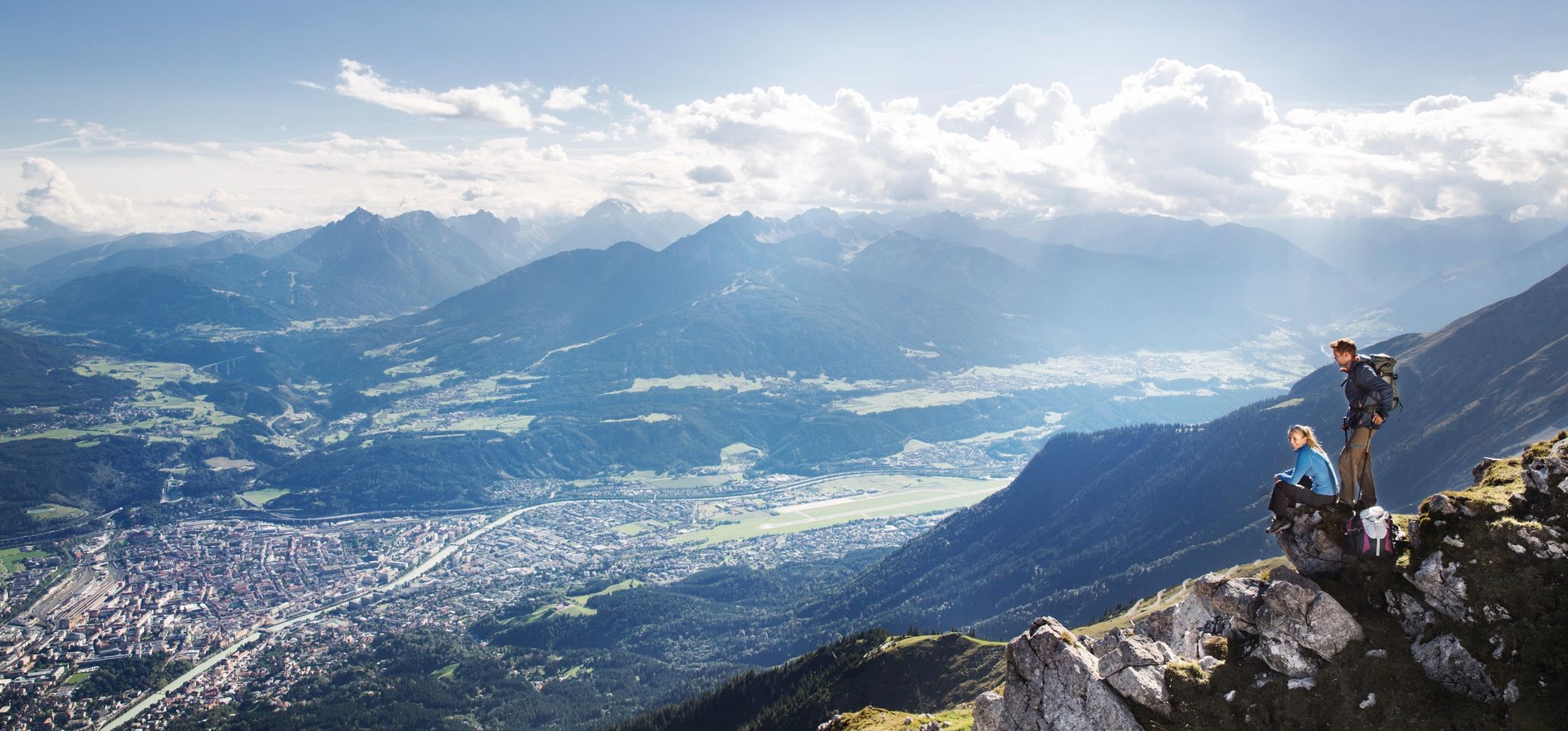
Road cycling in Kalkkögel offers diverse terrain set against dramatic alpine scenery, often referred to as the "Dolomites of North Tyrol." The region features imposing mountain formations, providing extensive panoramas of the Kalkkögel themselves, the Inn valley, and surrounding peaks. Its accessibility from Innsbruck and the presence of varied landscapes make it suitable for different road cycling experiences.
Best road cycling routes in Kalkkögel
- The most popular road cycling route is Mountain Guide Village Neustift – View of the Ruetz…
Last updated: May 25, 2026
4.0
(4)
185
riders
Moderate road ride. Good fitness required. Mostly well-paved surfaces and easy to ride.
4.7
(46)
1,644
riders
62.9km
03:14
1,030m
1,030m
Hard road ride. Very good fitness required. Mostly well-paved surfaces and easy to ride.

Sign up for free
3.7
(3)
50
riders
Moderate road ride. Good fitness required. Some segments of this route may be unpaved and difficult to ride.
4.5
(68)
2,026
riders
53.8km
03:03
1,200m
1,200m
Hard road ride. Very good fitness required. Mostly well-paved surfaces and easy to ride.
4.6
(45)
1,777
riders
96.1km
04:50
1,520m
1,520m
Hard road ride. Very good fitness required. Mostly well-paved surfaces and easy to ride.
Get access to more routes and recommendations from other explorers.
Sign up for free
Already have an account?
Our route recommendations are based on thousands of hikes, rides, and runs completed by other people on komoot.
Start today with a free account
Your next adventure awaits.
Login or Signup
Popular around Kalkkögel
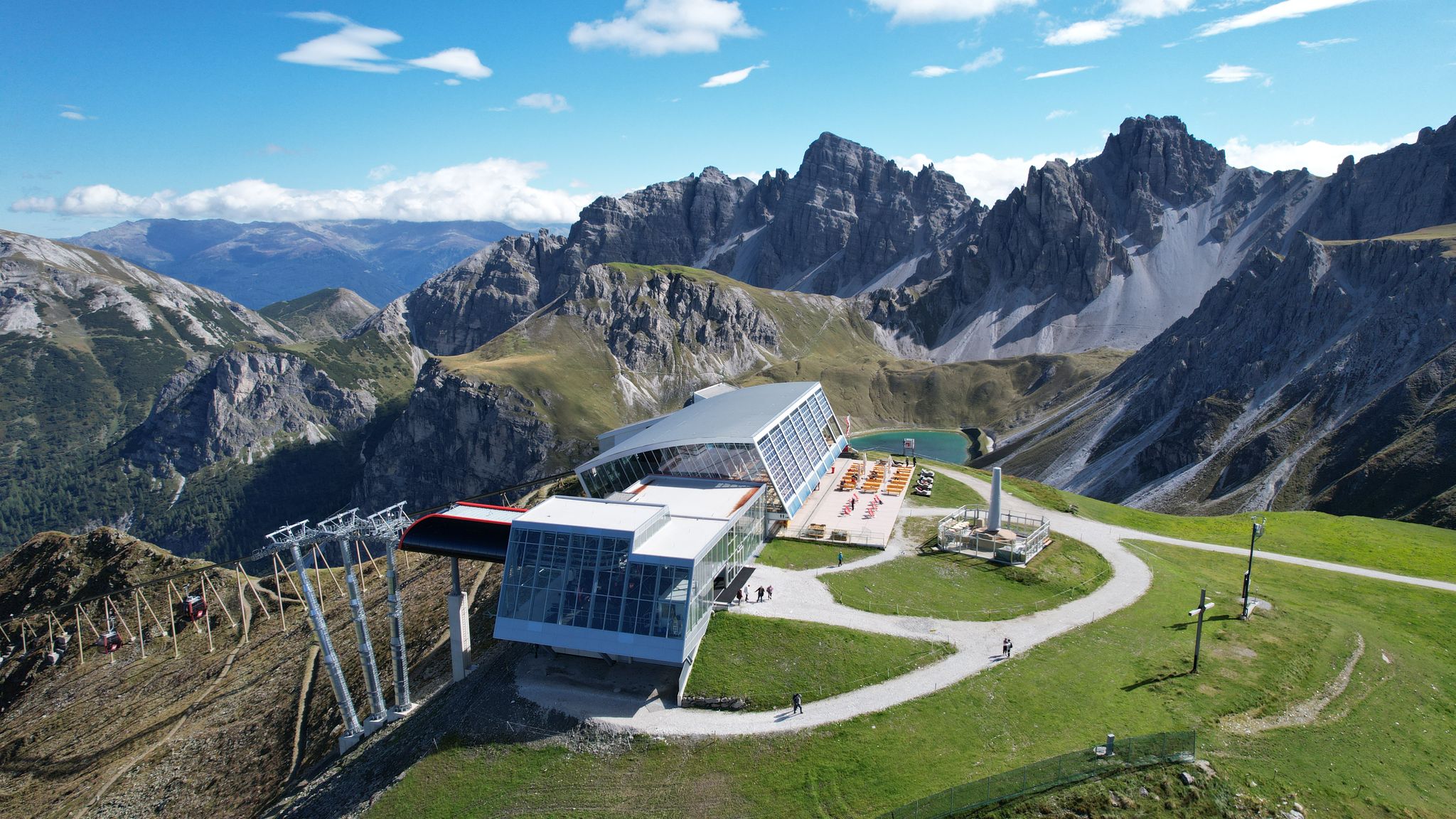
In the ‘Dolomites of North Tyrol’ – hiking in Axamer Lizum
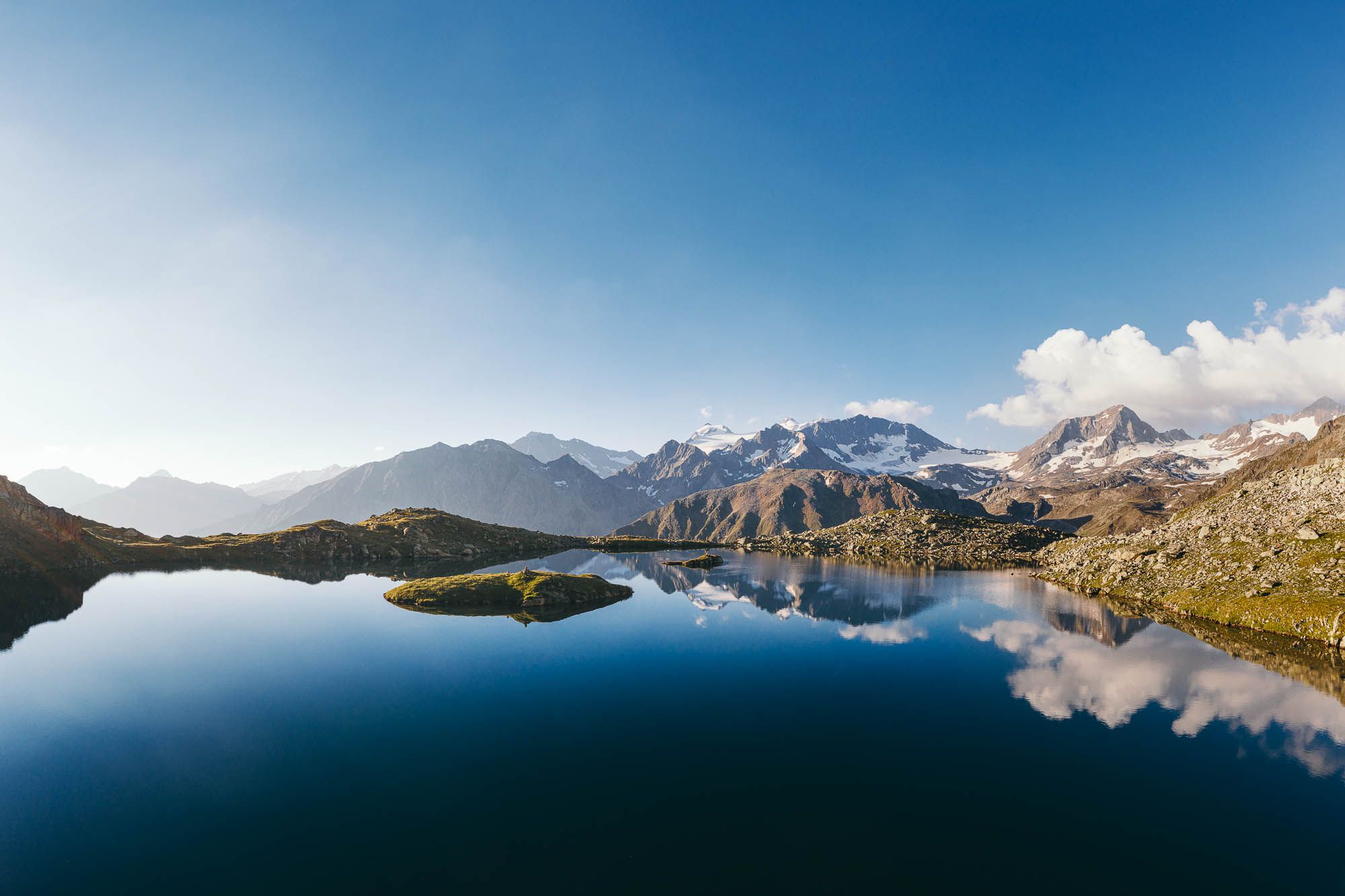
5 hiking highlights in the Stubai - between nature fascination and summit experiences
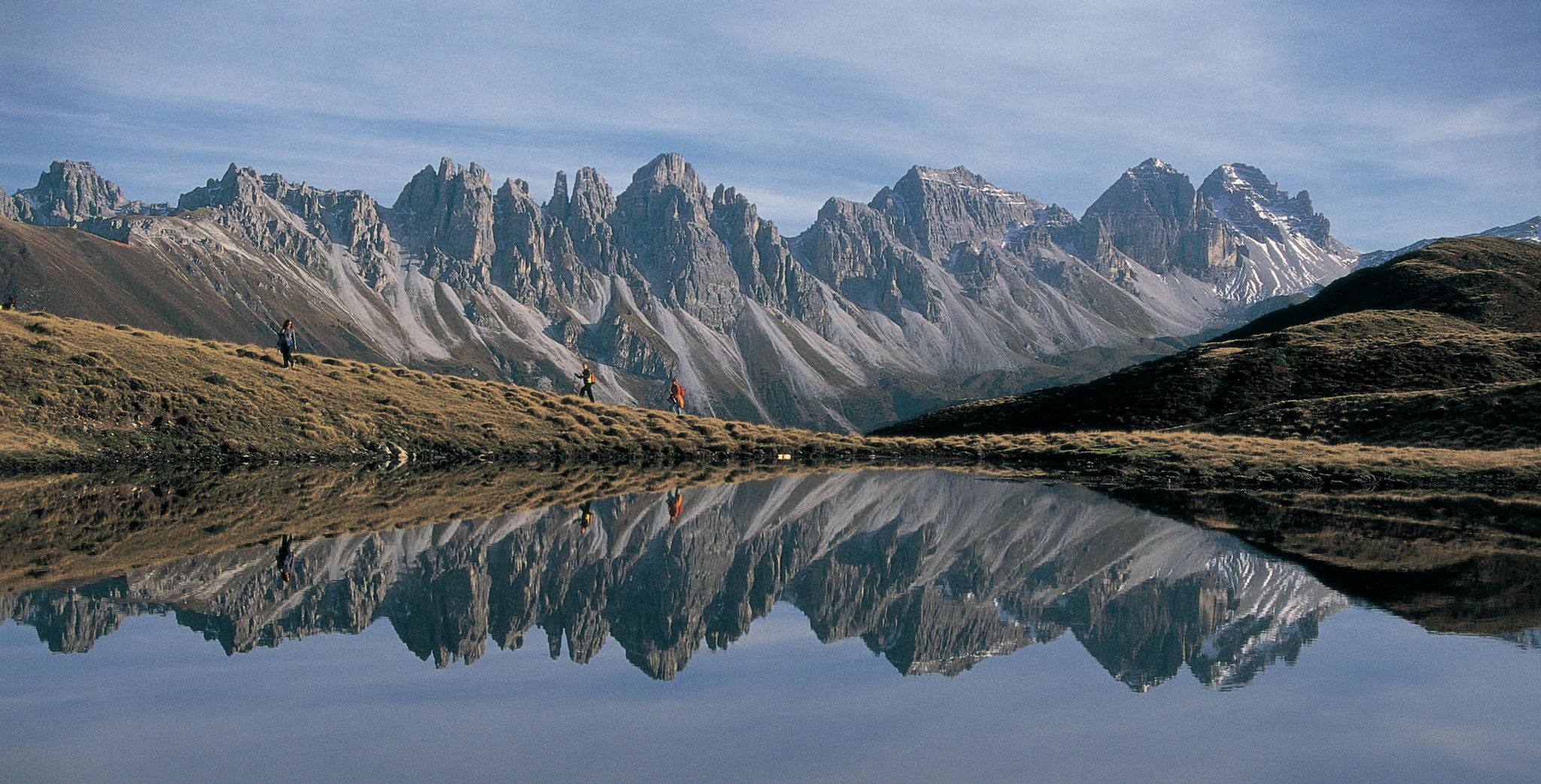
Leaving the city & up into the mountains – hiking around Innsbruck
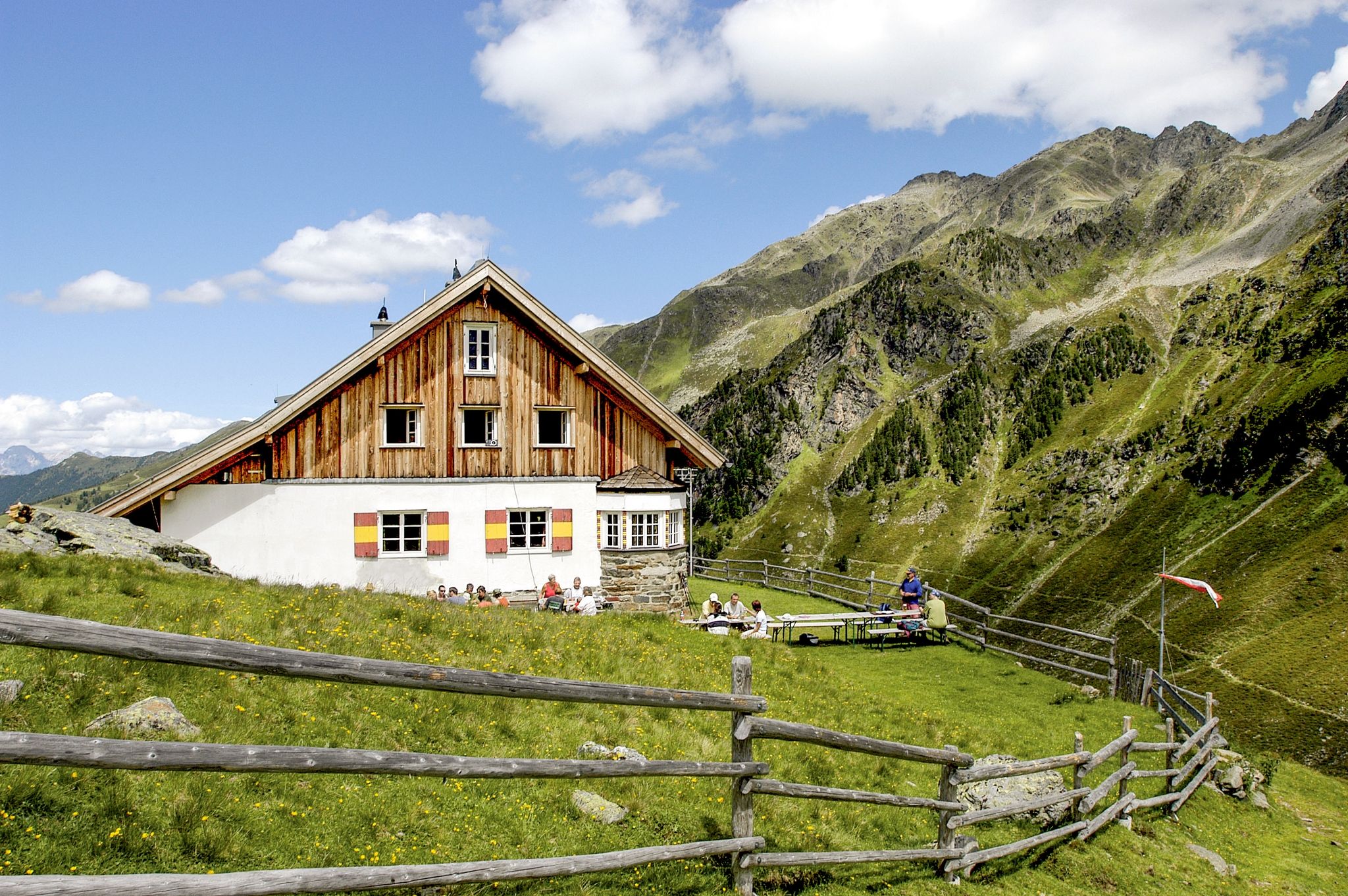
7 days through the Sellrain Alps – the Sellrainer Huettenrunde
De stad uit, de bergen in – Wandelen rond Innsbruck
MTB Trails in Kalkkögel
Hiking in Kalkkögel
Cycling in Kalkkögel
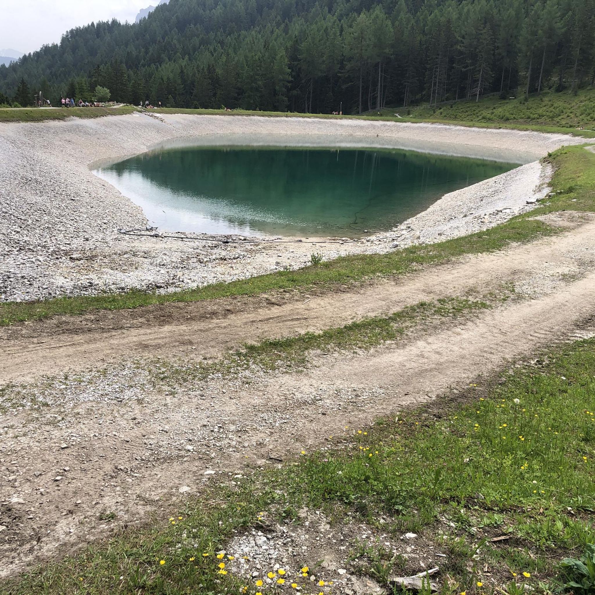
Running Trails in Kalkkögel
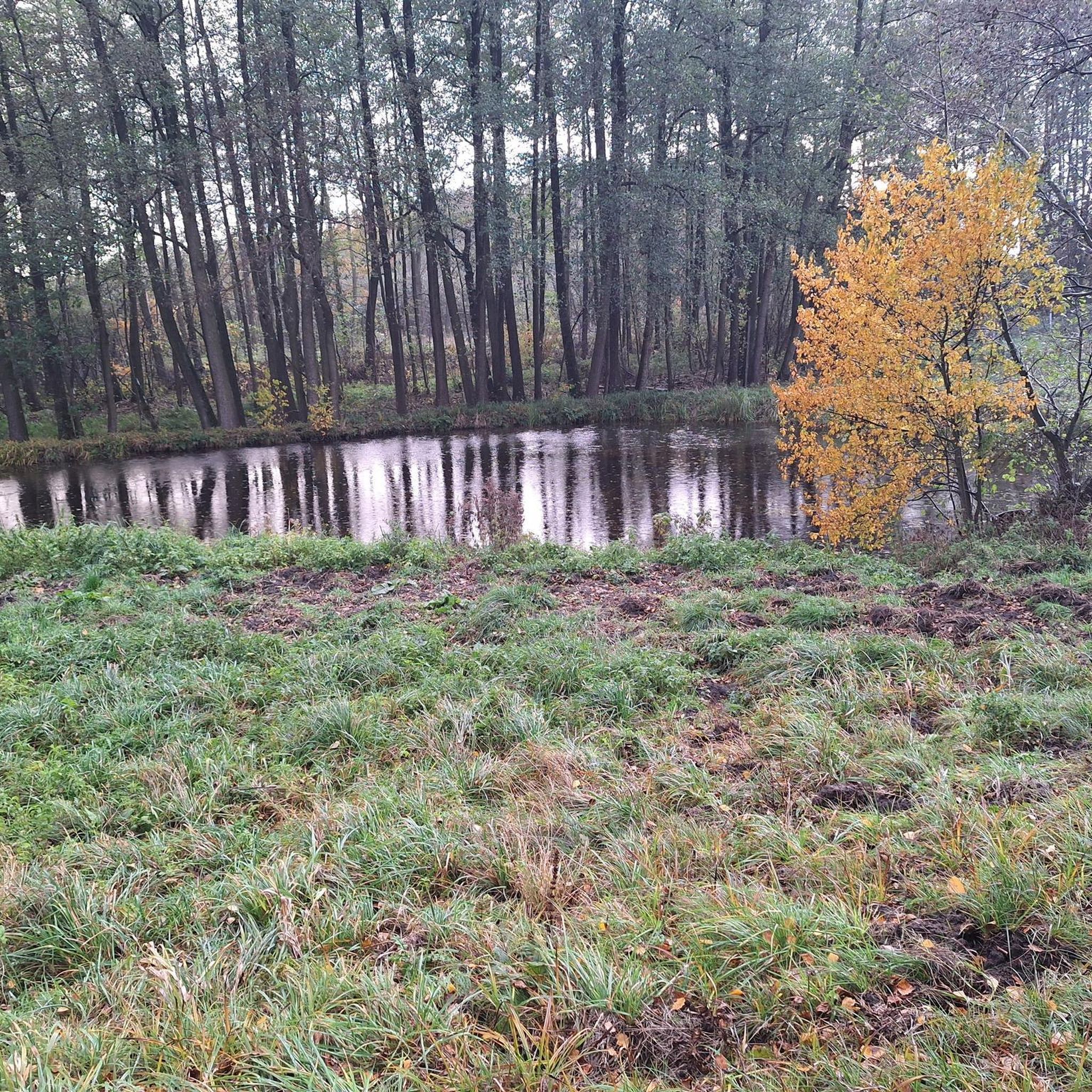
Gravel biking in Kalkkögel
Other adventures in Kalkkögel


Tips from the Community

Available on Zwift - Lutscher route
0
0

What a panorama and feeling of achievement to have made it over the pass by bike.
1
1

Beautiful cycle path with several tunnels
0
0

another interesting section
0
0
Oops, I didn't even see the stone!
1
1

Beautiful cycle path along the old Brenner railway, also with a tunnel.
4
0

Watching the traffic jam on the motorway from this cycle path is one of the great pleasures in the life of a fringe athlete
3
1

From the bridge over the Ruetz you have a great view of the waterfall.
1
0
Frequently Asked Questions
How many road cycling routes are available in Kalkkögel?
Kalkkögel offers a wide selection of road cycling routes, with over 100 tours available on komoot. These routes cater to various skill levels, including 18 easy, 63 moderate, and 25 difficult options, ensuring there's a suitable ride for every cyclist.
What kind of scenery can I expect while road cycling in Kalkkögel?
Road cycling in Kalkkögel, often called the 'Dolomites of North Tyrol,' provides breathtaking alpine vistas. You'll experience dramatic mountain scenery, extensive panoramas of the Kalkkögel mountains, the Inn valley, and even distant peaks like the Zugspitze. The routes often pass through wide meadows where you might spot grazing animals, adding to the natural charm.
Are there any challenging road cycling routes with significant elevation gain?
Yes, Kalkkögel features several challenging routes with substantial elevation gain. For instance, the Gries am Brenner – Brenner Pass Climb loop from Telfes Luimes is a difficult 39.10-mile (62.93 km) path that includes over 1000 meters of ascent, taking you up to the historic Brenner Pass.
Can I find family-friendly road cycling options in Kalkkögel?
While many routes in Kalkkögel involve significant climbs, there are moderate options that families with older, more experienced children might enjoy. For example, the Mountain Guide Village Neustift – View of the Ruetz Waterfall loop from Telfes Luimes is a moderate 22.85-mile (36.77 km) route with around 490 meters of elevation gain, offering scenic views without extreme difficulty.
What are some notable landmarks or points of interest along the road cycling routes?
Along your road cycling routes, you can encounter various points of interest. The Mountain Guide Village Neustift – View of the Ruetz Waterfall loop from Telfes Luimes offers views of the Ruetz Waterfall. Additionally, you might pass by mountain huts like the Starkenburger Hut or the Birgitzköpfl Hut, which provide opportunities for rest and refreshments.
What is the best time of year for road cycling in Kalkkögel?
The best time for road cycling in Kalkkögel is generally during the warmer months, from late spring to early autumn. Summer offers pleasant temperatures and full accessibility to all routes. However, always check local weather forecasts, as alpine conditions can change rapidly.
Is public transport available to reach road cycling starting points in Kalkkögel?
Yes, Kalkkögel is well-connected by public transport. Areas like Axamer Lizum, a common starting point, are easily accessible from Innsbruck via bus within approximately 20 minutes. This makes it convenient to reach various road cycling routes without a car.
Are there options for parking near the road cycling trails?
Given the region's accessibility and popularity, parking facilities are generally available at common starting points for outdoor activities, including road cycling. Specific parking information can often be found in the details of individual komoot tours or local tourist information.
Are there any circular road cycling routes in Kalkkögel?
Yes, many of the road cycling routes in Kalkkögel are designed as loops, allowing you to start and finish at the same point. Examples include the Mountain Guide Village Neustift loop from Mieders and the View of Innsbruck – View of Wipptal and Inntal loop from Telfes Ort, providing convenient round trips.
What do other road cyclists enjoy most about the Kalkkögel region?
The Kalkkögel region is highly rated by the komoot community, with an average score of 4.5 stars from over 1,000 reviews. Cyclists frequently praise the dramatic mountain scenery, the challenging climbs, and the rewarding descents. The diverse terrain and the impressive alpine views are often highlighted as key attractions.
Are there cafes or places to stop for refreshments along the routes?
Yes, the region has mountain huts and villages along various routes where you can stop for refreshments. Huts like the Starkenburger Hut and Potsdamer Hütte are popular stops for hikers and cyclists alike, offering food and drinks amidst stunning scenery.
Can cable cars be used to transport bikes to higher elevations?
A significant advantage for cyclists in Kalkkögel is the option to transport bikes on cable cars. For example, the Olympic funicular from Axamer Lizum to the Hoadl allows you to bypass strenuous ascents, making higher-altitude routes more accessible or enabling enjoyable descents.
Most popular routes in Kalkkögel
Most popular attractions in Kalkkögel

Get inspired with the komoot mobile app


Explore more
Browse the best Road cycling routes in other regions.
