The best mountain hikes in Naturschutzgebiet Krakau-Schöder
4.9
(71)
736
hikers
41
hikes
Mountaineering routes in Naturschutzgebiet Krakau-Schöder traverse a landscape characterized by alpine meadows, forested slopes, and mountain peaks. The region offers varied terrain suitable for different levels of mountaineering experience. Elevations provide panoramic views of the surrounding natural reserve. This area is known for its well-maintained trails and diverse natural features.
Best mountaineering routes in Naturschutzgebiet Krakau-Schöder
- The most popular mountaineering route is Etrachsee Fish Restaurant – Lower Wildenkar Lake loop from Krakau, a 5.9 miles (9.5 km) trail that…
Last updated: September 28, 2026
5.0
(1)
23
hikers
9.47km
03:34
530m
530m
Moderate mountaineering route. Good fitness required. Mostly accessible paths. Sure-footedness required.
5.0
(1)
11
hikers
12.2km
06:23
1,180m
1,180m
Hard mountaineering route. Very good fitness required. Mostly accessible paths. Sure-footedness required.

11
hikers
5.86km
03:18
600m
600m
Hard mountaineering route. Good fitness required. Sure-footedness, sturdy shoes and alpine experience required.
5.0
(2)
17
hikers
9.97km
03:43
480m
480m
Moderate mountaineering route. Good fitness required. Mostly accessible paths. Sure-footedness required.
5.0
(3)
15
hikers
10.1km
04:45
1,050m
1,050m
Hard mountaineering route. Very good fitness required. Easily-accessible paths. Suitable for all skill levels.
Get access to more routes and recommendations from other explorers.
Already have an account?
Our route recommendations are based on thousands of hikes, rides, and runs completed by other people on komoot.
Start today with a free account
Your next adventure awaits.
Popular around Naturschutzgebiet Krakau-Schöder

Central Alps Trail Eastern Section – Discover Austria
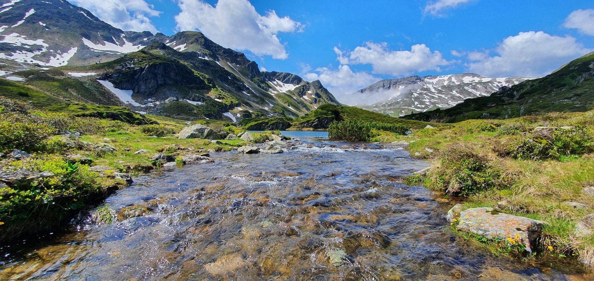
Schladminger Tauern High Altitude Trail – 7 days of great hiking in Austria
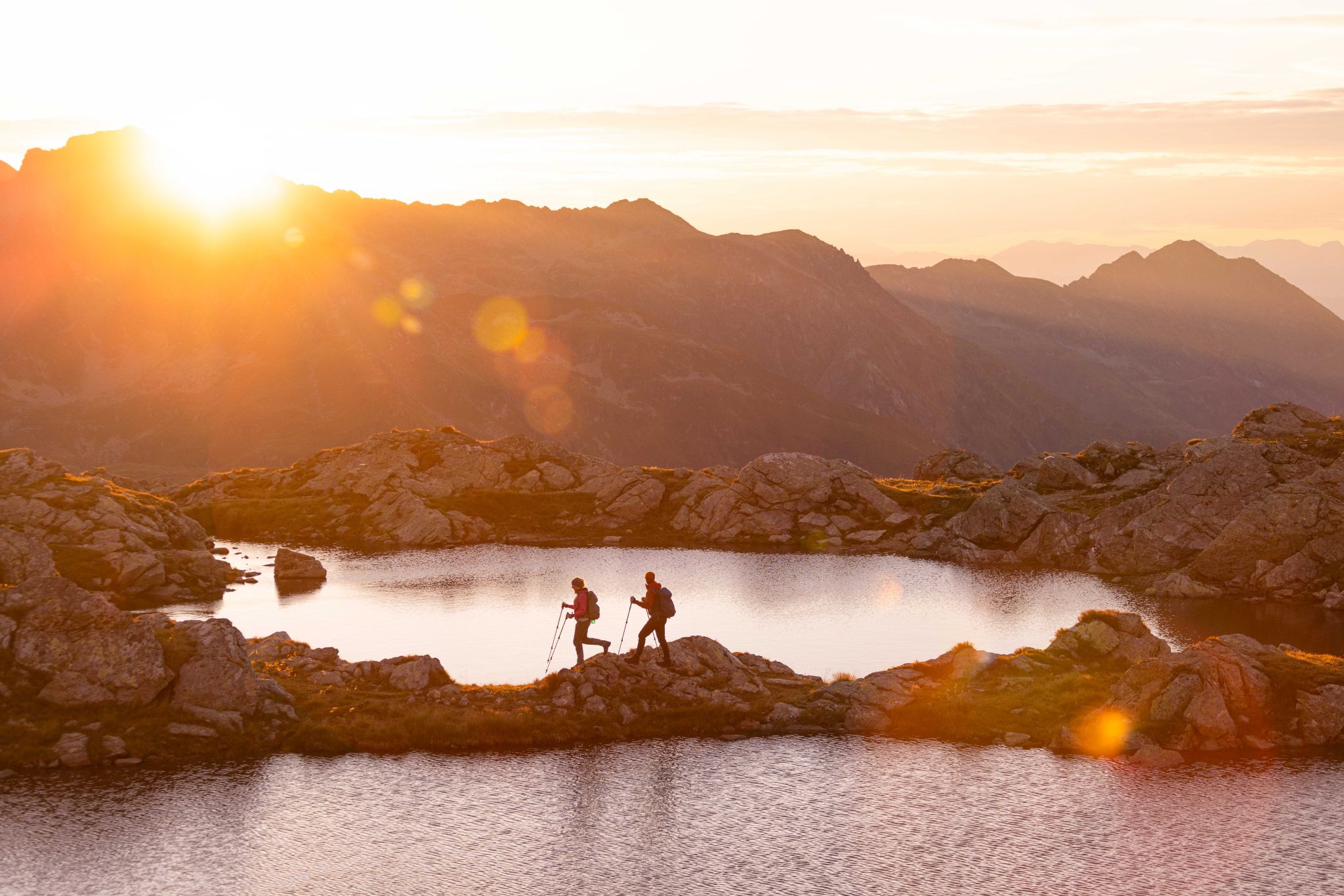
Huts, lakes, streams and panoramas on the Schladminger Tauern High Trail
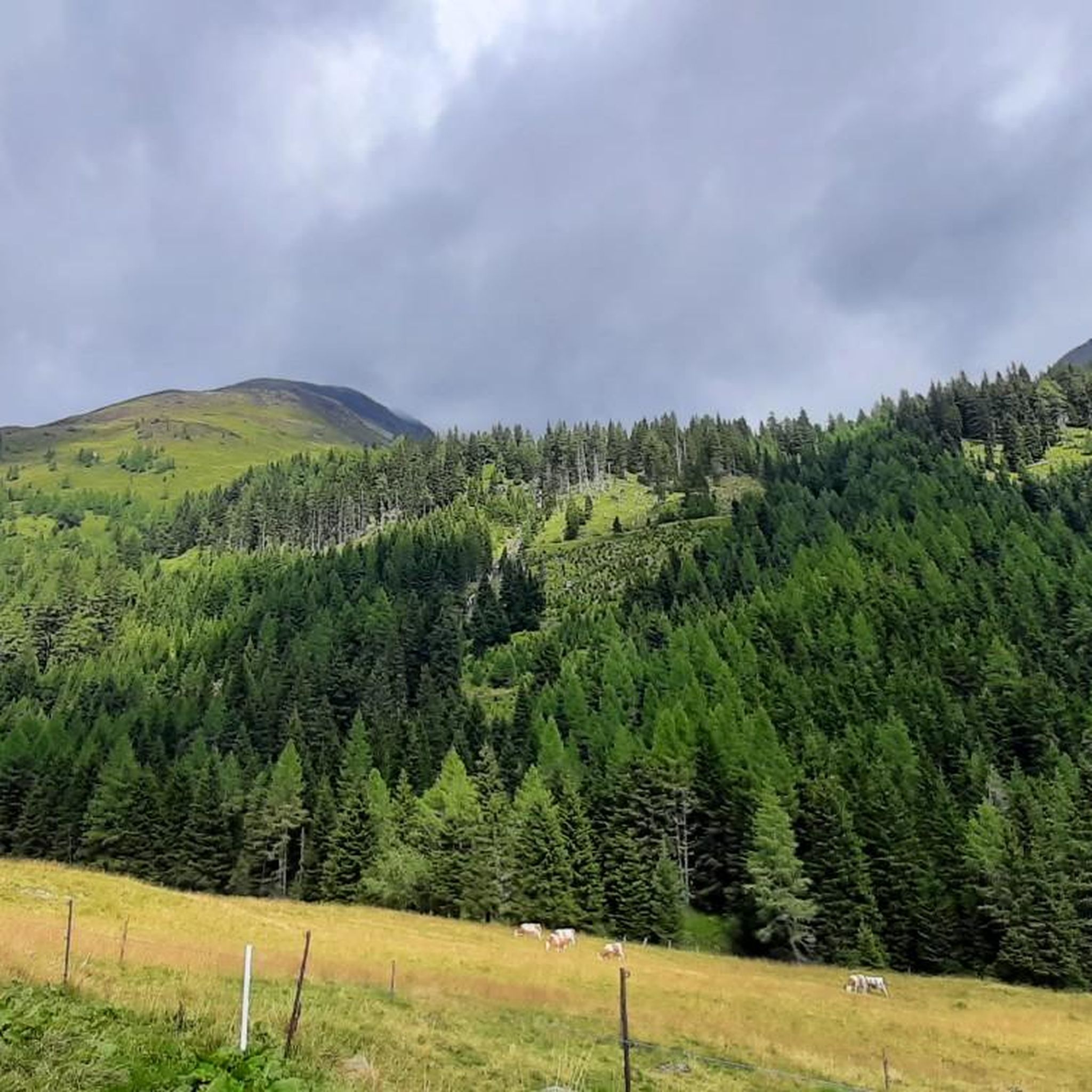
Road Cycling Routes in Naturschutzgebiet Krakau-Schöder
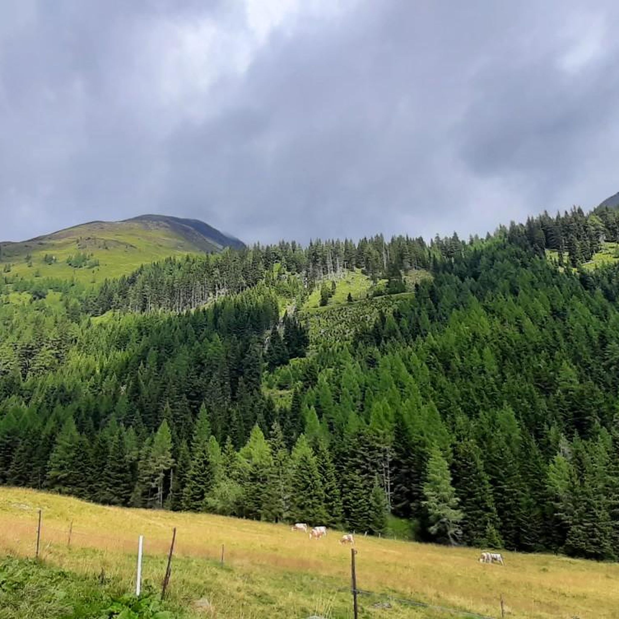
Hiking in Naturschutzgebiet Krakau-Schöder

Cycling in Naturschutzgebiet Krakau-Schöder

MTB Trails in Naturschutzgebiet Krakau-Schöder

Running Trails in Naturschutzgebiet Krakau-Schöder
Other adventures in Naturschutzgebiet Krakau-Schöder


Tips from the Community

Etrachsee, Krakau at 1,374 meters At 1,374 meters above sea level, a paradisiacal spot on earth unfolds: The Etrachsee lies idyllically between the inner-Alpine regions of the Niedere Tauern, the Rupprechtseck and the Bauleiteck. Lush alpine meadows and imposing larches frame the picturesque Etrachsee. Text / Source: Tourismusverband Murau, Liechtensteinstraße 3–5, Murau https://www.steiermark.com/de/Murau/Urlaub-planen/Ausflugsziele/Etrachsee_isd_297971
12
0
The Rupertus spring at the Prebersee lake in the market town of Lungau in Tamsweg, next to the lake chapel.
12
0

Wonderful panorama Absolute sure-footedness required on the last 100 meters
0
0

Very worth seeing, you have to see it
0
0


Unfortunately not served in winter. There is still seating available
2
0

The Ludlalm is worth a visit! Open daily from 10 a.m. to 8 p.m., kitchen open until 7 p.m. Playground, toboggan hill, small animals, children won't be bored here. The Ludlalm even has a registry office. Further information at www.ludlalm.de Attention: no WiFi, no mobile data in or around the Ludlalm, no card payments.
1
0

Frequently Asked Questions
How many mountaineering routes are available in Naturschutzgebiet Krakau-Schöder?
Naturschutzgebiet Krakau-Schöder offers a wide selection of nearly 45 mountaineering routes. These range from moderate to difficult, providing options for various skill levels.
What are the typical difficulty levels for mountaineering in this region?
The mountaineering routes in Naturschutzgebiet Krakau-Schöder are primarily categorized as moderate or difficult. You'll find around 15 moderate routes and 29 difficult routes, ensuring a challenge for experienced mountaineers.
Are there any circular mountaineering routes in Naturschutzgebiet Krakau-Schöder?
Yes, many routes in the region are designed as loops, allowing you to start and end at the same point. For example, consider the Etrachsee Fish Restaurant – Lower Wildenkar Lake loop from Krakau, a moderate 5.9-mile trail, or the more challenging Etrachsee Fish Restaurant loop from Krakau, which is 7.6 miles long.
What kind of natural sights can I expect to see along the mountaineering routes?
The routes often lead past stunning natural features. You might encounter beautiful alpine lakes like Lake Etrach or Zwieflersee. Many trails also offer panoramic views from various mountain peaks and passes.
Are there any notable mountain peaks or summits to reach?
Absolutely. The region is home to several impressive peaks. Mountaineers often aim for summits like the Preber summit cross, Deneck (2,433 m), or Eisenhut Summit (2,456 m). The Predigtstuhl Summit Cross loop from Rantensee is a popular route to a summit cross.
What is the best time of year for mountaineering in Naturschutzgebiet Krakau-Schöder?
The prime season for mountaineering in Naturschutzgebiet Krakau-Schöder is typically from late spring through early autumn (May to October), when trails are generally free of snow and weather conditions are most stable. Always check local weather forecasts and trail conditions before heading out.
Are there any places to eat or drink near the mountaineering trails?
Yes, some routes pass by or start near establishments where you can refuel. For instance, the routes starting from Krakau often mention the Etrachsee Fish Restaurant. You might also find mountain huts like the Rudolf-Schober Hut along certain trails, offering refreshments and shelter.
What do other mountaineers say about the routes in Naturschutzgebiet Krakau-Schöder?
The routes in Naturschutzgebiet Krakau-Schöder are highly regarded by the komoot community, boasting an impressive average rating of 4.9 stars from nearly 80 reviews. Mountaineers frequently praise the well-maintained trails, diverse terrain, and the stunning panoramic views from the higher elevations.
Are there any less-trafficked or 'hidden gem' routes for a quieter experience?
While many routes are popular, you can find quieter experiences. Consider routes that venture deeper into the reserve or those with higher difficulty ratings, as they tend to attract fewer people. The Grazer Hut – Preber Halter Hut loop from Prebersattel offers a moderate challenge away from the busiest spots.
What kind of wildlife and flora can I observe while mountaineering?
As a nature reserve, Naturschutzgebiet Krakau-Schöder is rich in biodiversity. You can expect to see typical alpine flora, including various wildflowers in spring and summer. Keep an eye out for local wildlife such as chamois, marmots, and a variety of bird species, especially in the quieter, higher-altitude areas.
Are permits required for mountaineering in Naturschutzgebiet Krakau-Schöder?
Generally, no specific permits are required for hiking or mountaineering on marked trails within Naturschutzgebiet Krakau-Schöder. However, as it is a protected area, always adhere to local regulations regarding nature conservation, staying on marked paths, and respecting wildlife. For specific activities or off-trail excursions, it's always best to check with local authorities.
Where can I find parking for the mountaineering routes?
Many popular trailheads, such as those near Krakau, Rantensee, or Prebersattel, offer designated parking areas. It's advisable to arrive early during peak season to secure a spot, especially for longer or more popular routes. Always check local signage for any parking fees or restrictions.
Are there any challenging routes for experienced mountaineers?
Yes, Naturschutzgebiet Krakau-Schöder offers 29 difficult routes designed for experienced mountaineers. These routes often involve significant elevation gain and rugged terrain. For example, the Lower Zwieflersee – View of Upper Zwieflersee loop from Zwieflerseen is a challenging 6.1-mile route with over 1000 meters of elevation gain.
Most popular routes in Naturschutzgebiet Krakau-Schöder
Most popular attractions in Naturschutzgebiet Krakau-Schöder

Get inspired with the komoot mobile app


Explore more
Browse the best Mountain Hikes & Routes in other regions.
